Cummings Head
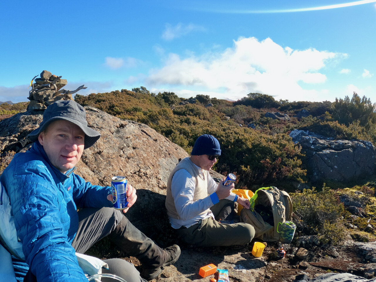
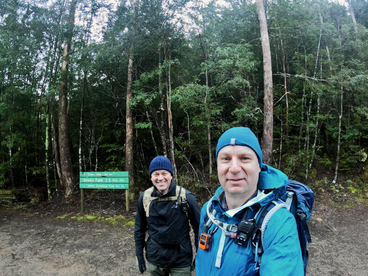
Col and I hiked our 21st Abel — Cummings Head — on Saturday the 26th of June 2021. The return trip took us about 6½ hours (including a short lunch break on the summit).
Location
Cummunigs Head is located at the end of Smoko Road, just past Meander, near Deloraine in northern Tasmania.

The Track
ListMap shows a marked track heading from the end of Smoko Road that immediately crosses Mother Cummings Rivulet. We did not take this track. A couple of blog posts I read in advance indicated this was not the current route to Cummings Head and that instead a non-marked track to the immediate right of the sign should be taken.

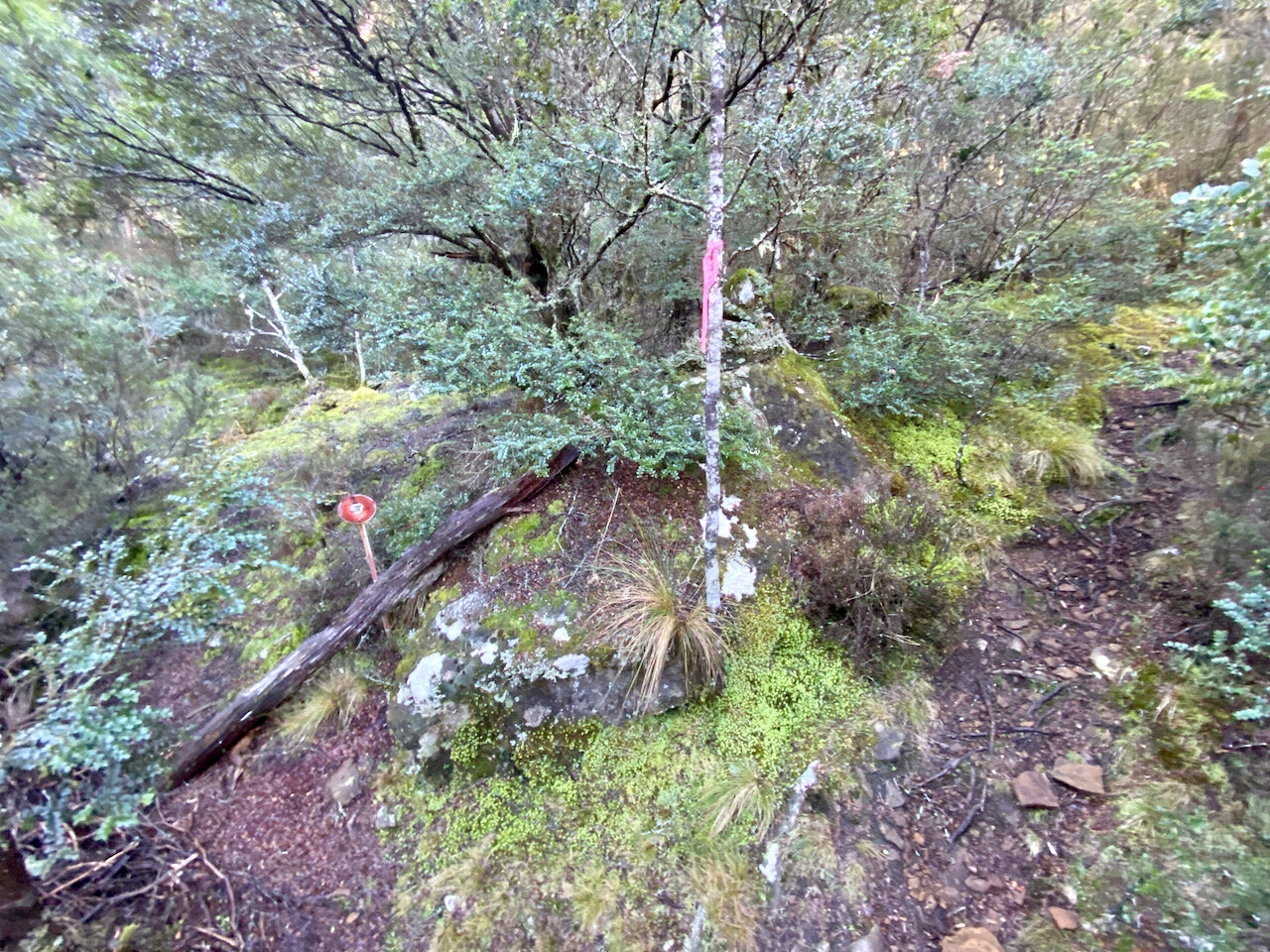
The route we took is not what is indicated by the sign!
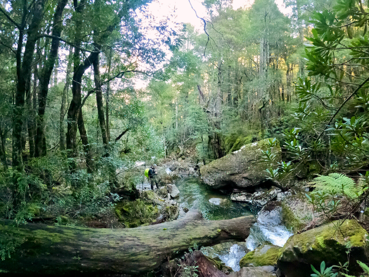
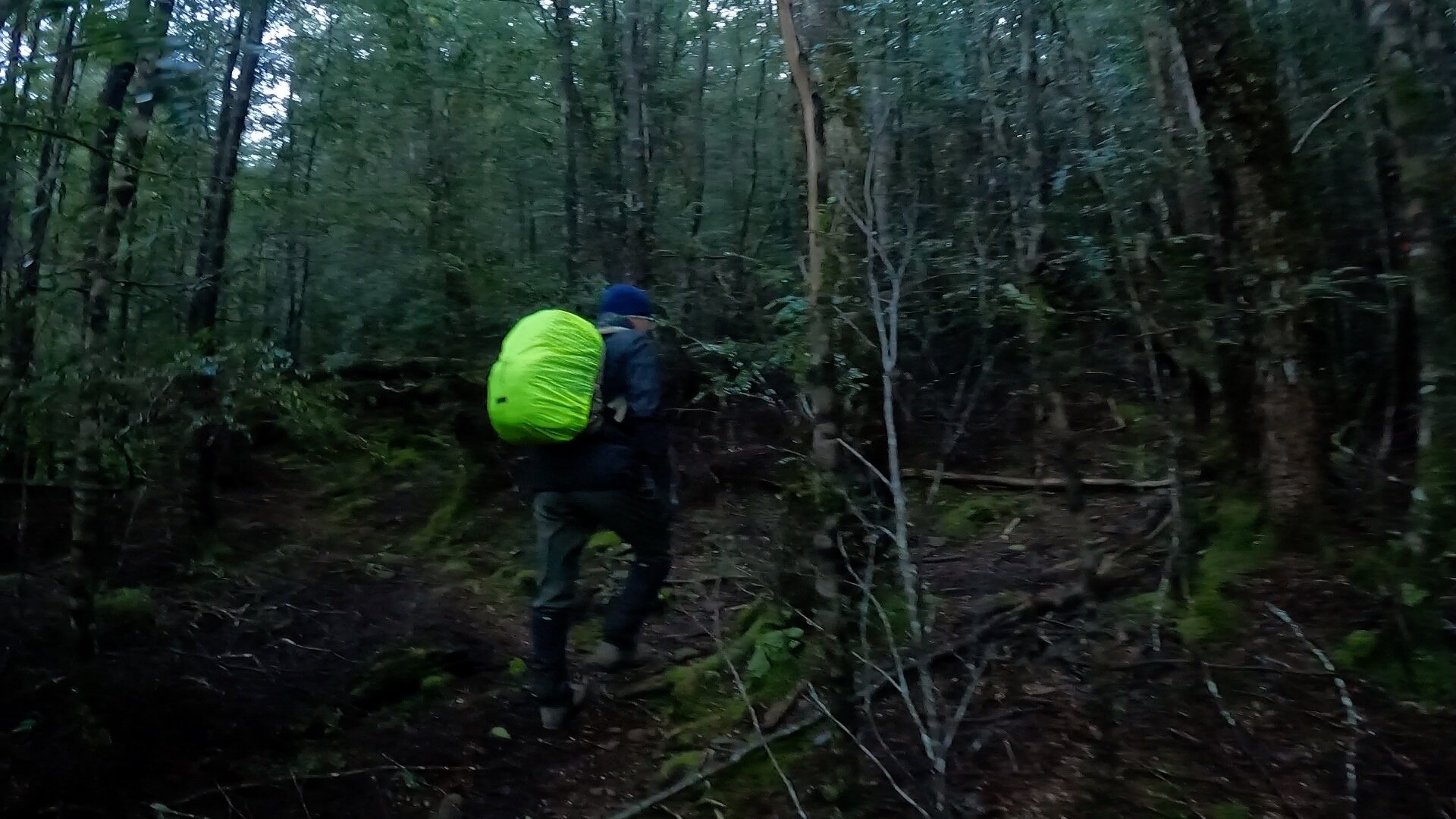
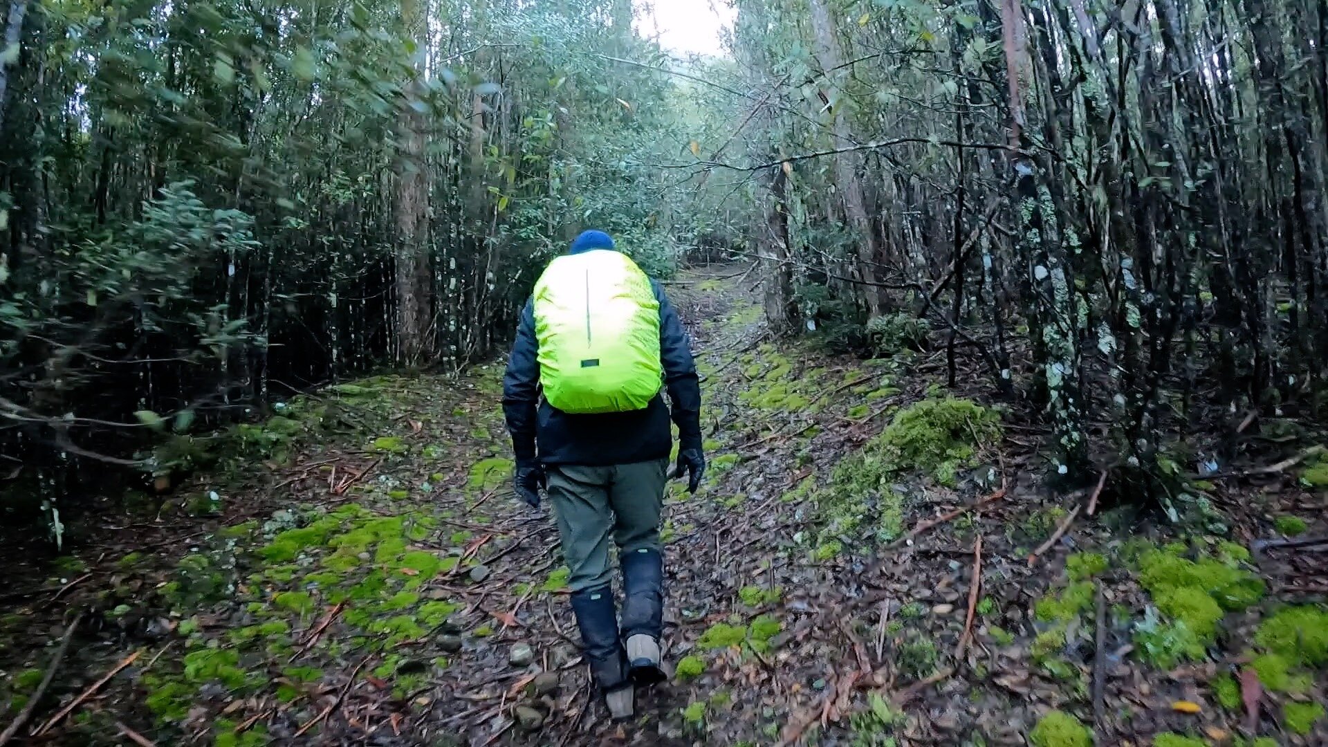
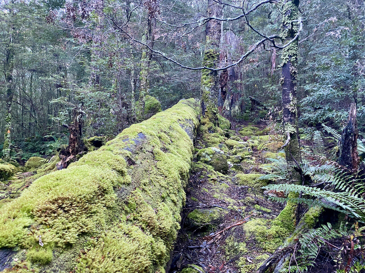
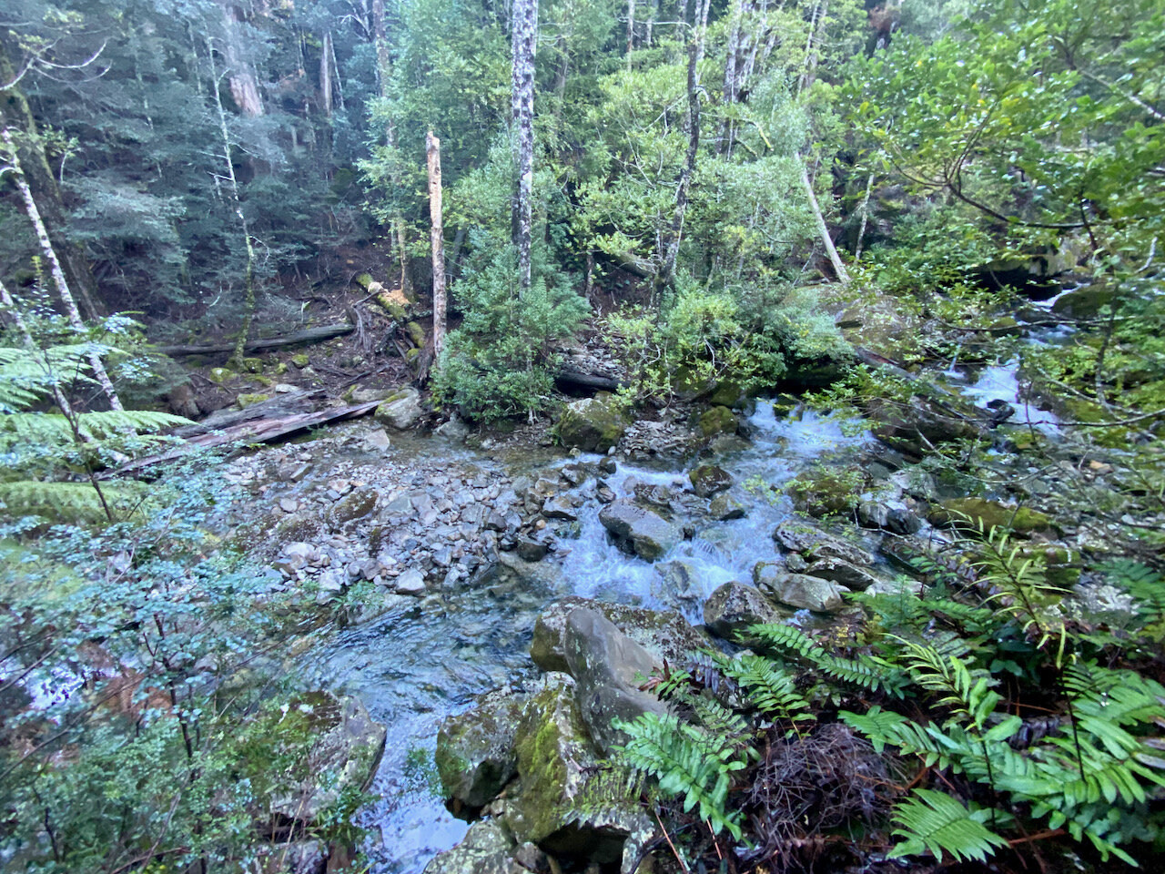
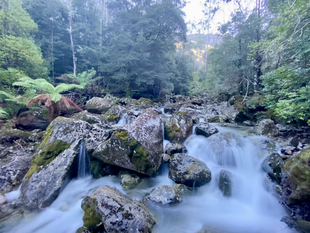
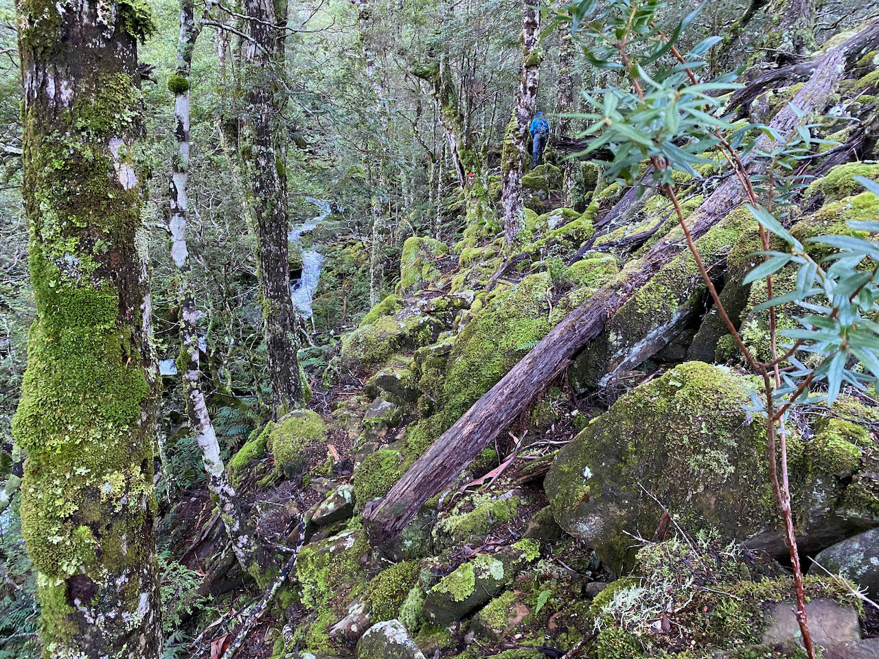
Although this trailhead is not obviously marked, the route itself is very well marked with lots of markers, tape and cairns along its length. It very quickly turned from a tight track into what I suspect was a former fire trail, which is only followed for a short distance before diverting back into the forrest and heading back towards the river. For the most part, the track then follows the river edge, where in June we had an amazing number of cascades with what appeared to be some significant water flow.
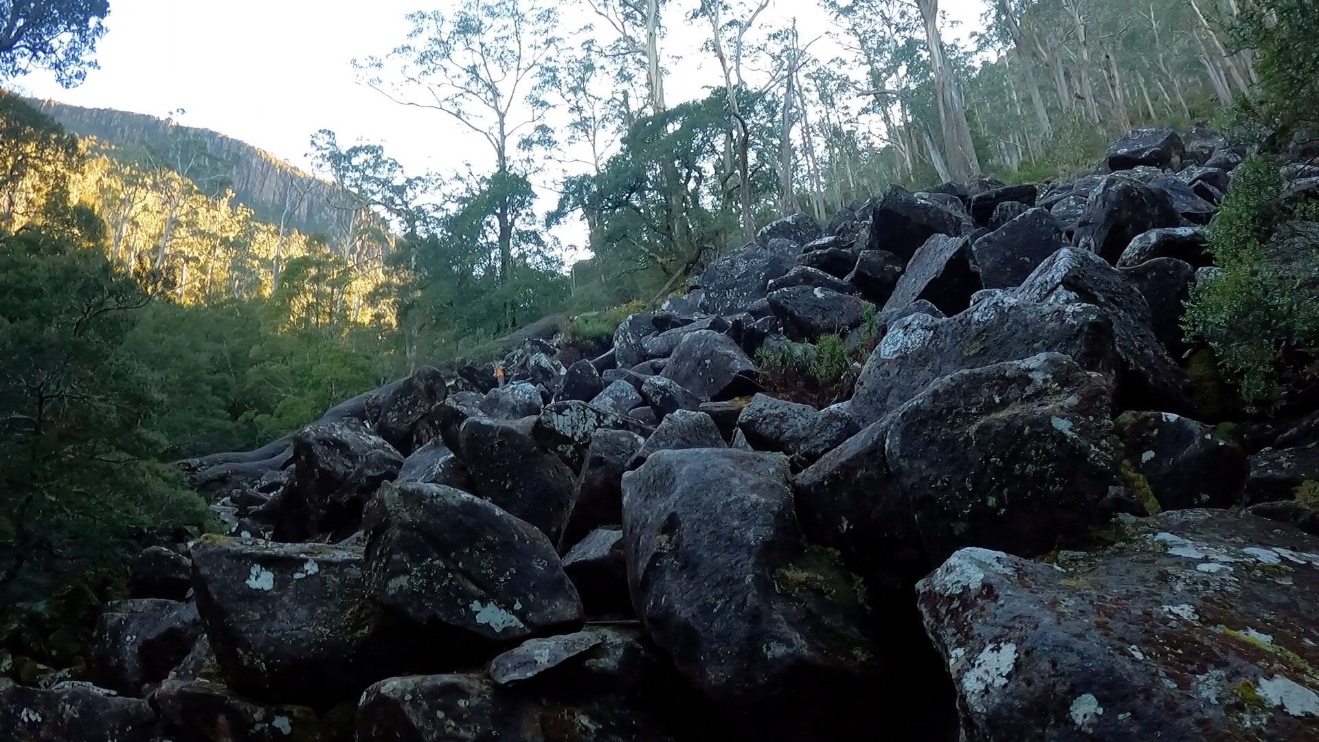
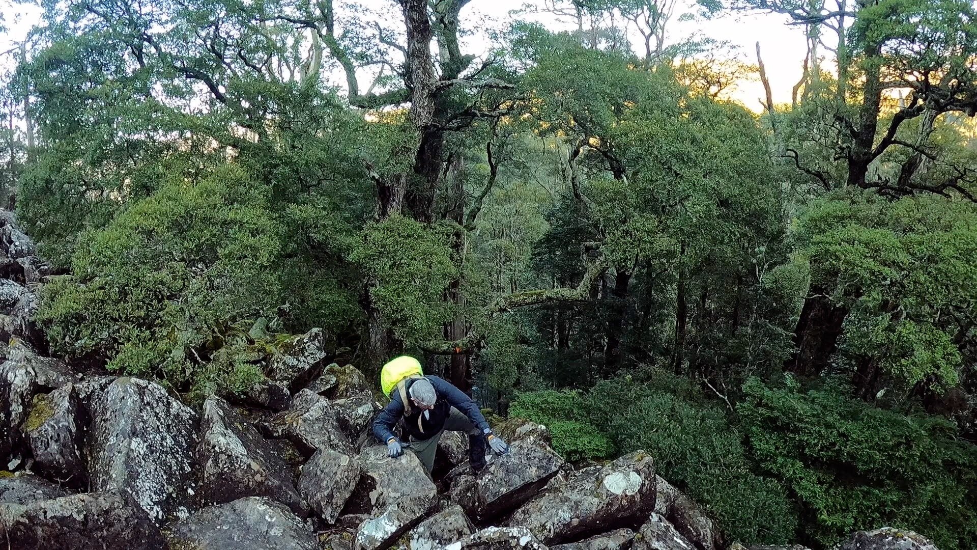
About 1.5km (50 mins) in to the walk we encountered a short section of scree, but it was probably only about 100 metres across and we stayed low on this, travelling parallel to the river.
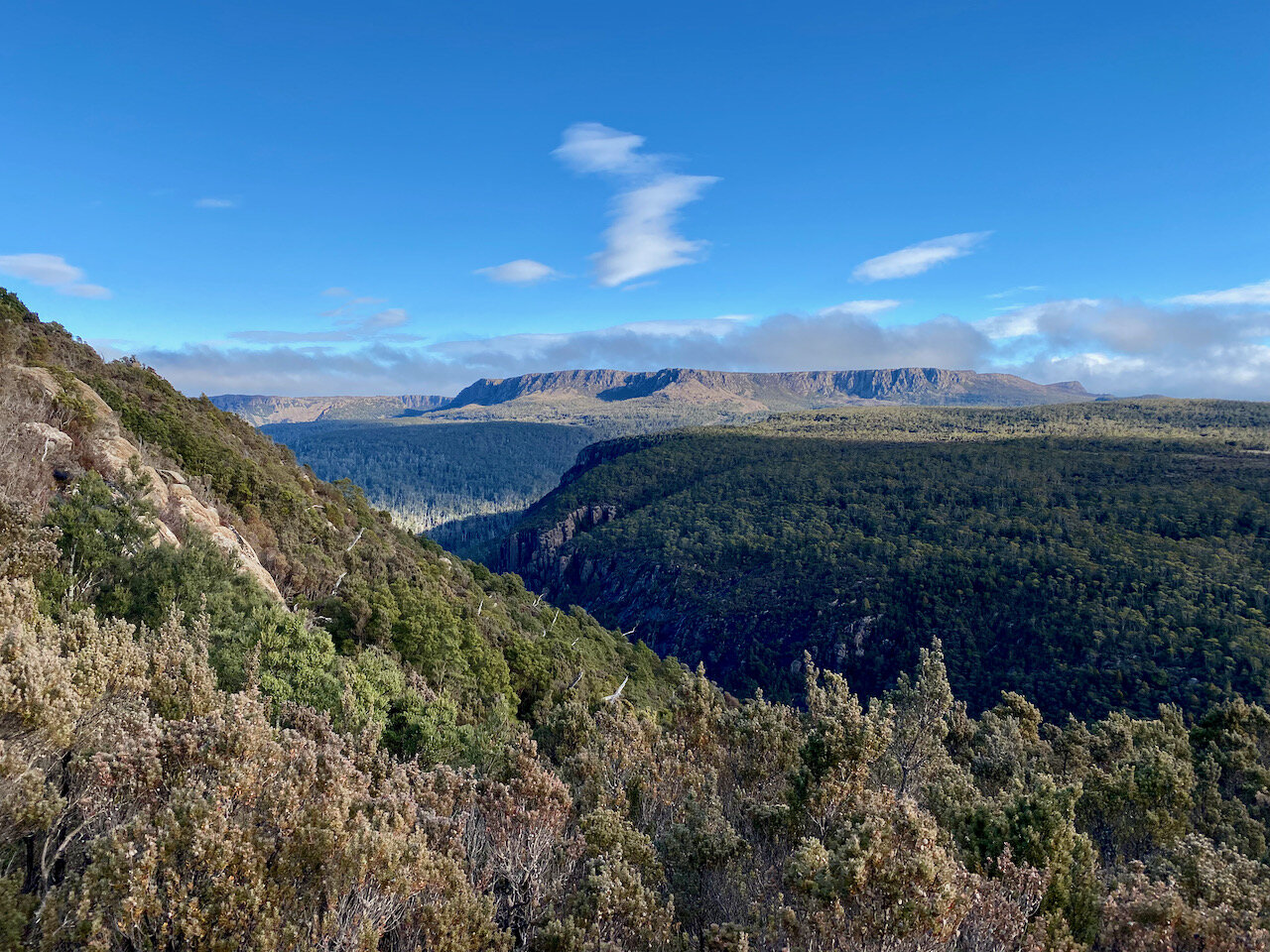
Following this we continued along the river until eventually turning off to the right for the final sent to the summit plateau.