
Clear Hill
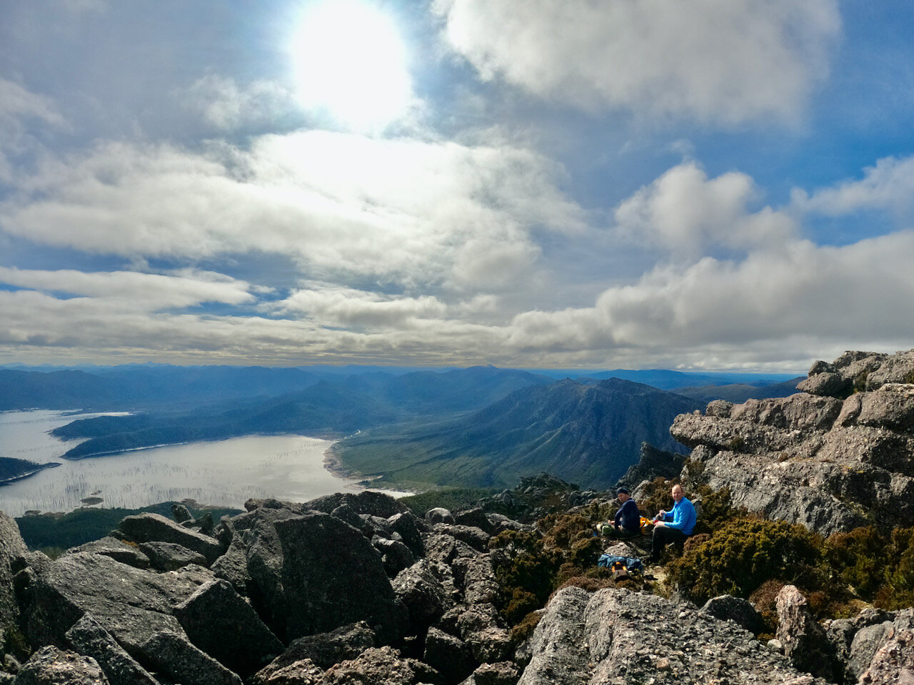
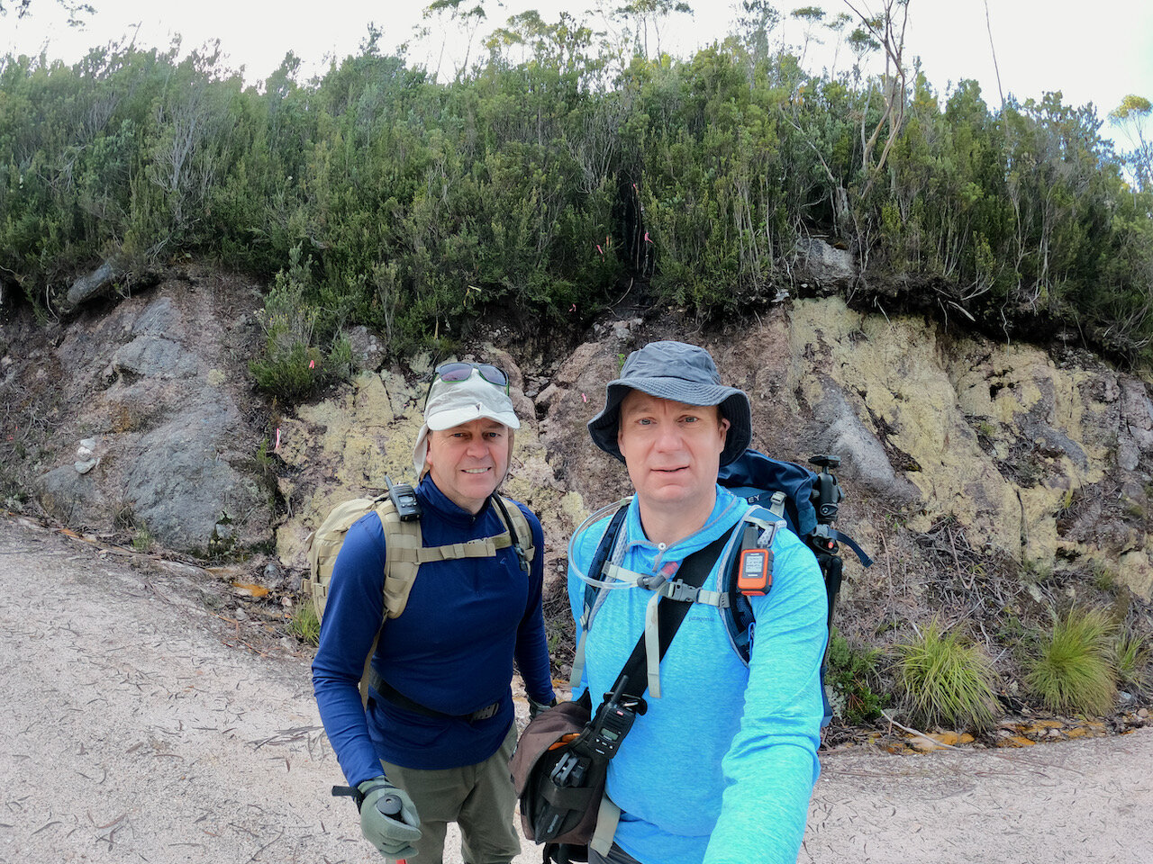
Col and I hiked Clear Hill on Saturday the 28th of August 2021 — our 22nd Abel. It took us 5½ hours to do the 6km return trip, although that included a lunch break of around 40 minutes on the summit.
Location
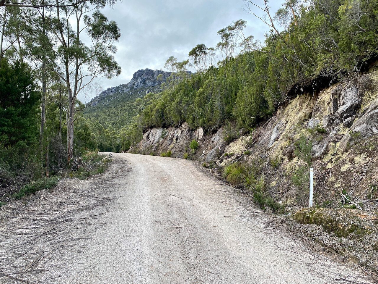
The start of the walk is located on Clear Hill Road, which runs off Gordon River Road. Clear Hill Road has several gates, which have been locked at various times (e.g. after the 2018/19 fires), but the road was open when we did this trip. If you want to confirm this is the case before heading out, calls the Parks and Wildlife office at Mt Field.
The start of the walk is approximately 22km down Clear Hill Road and is well marked with cairns and tape.
A map of the route is available on AllTrails.
The Track
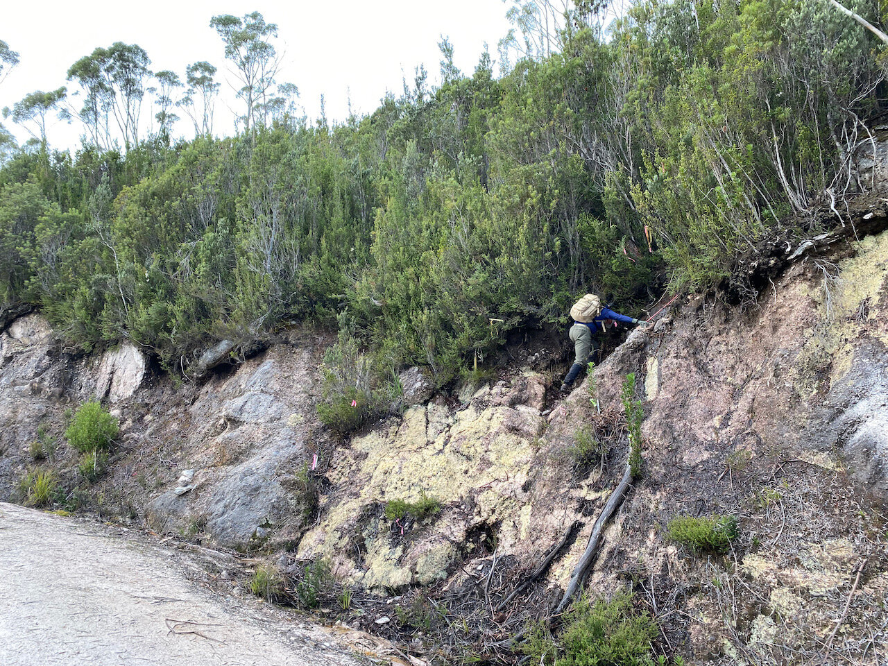
The initial climb off the road is steep and through thick tea tree for about 300 metres, before entering a tight section of conglomerate rock for another 300 metres. After this initial section, the gradient decreases for a bit and the vegetation opens up. This was especially true of our trip, as this section had obviously been burnt out in the 2018/19 fires.

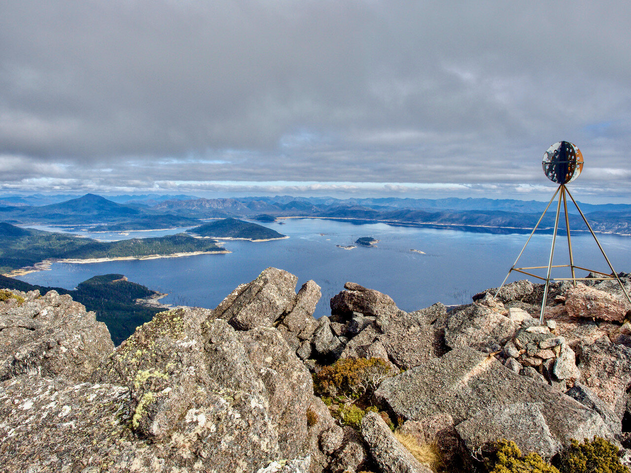
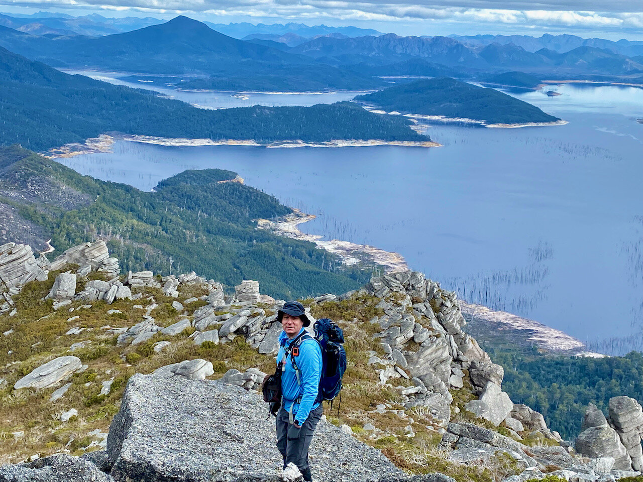
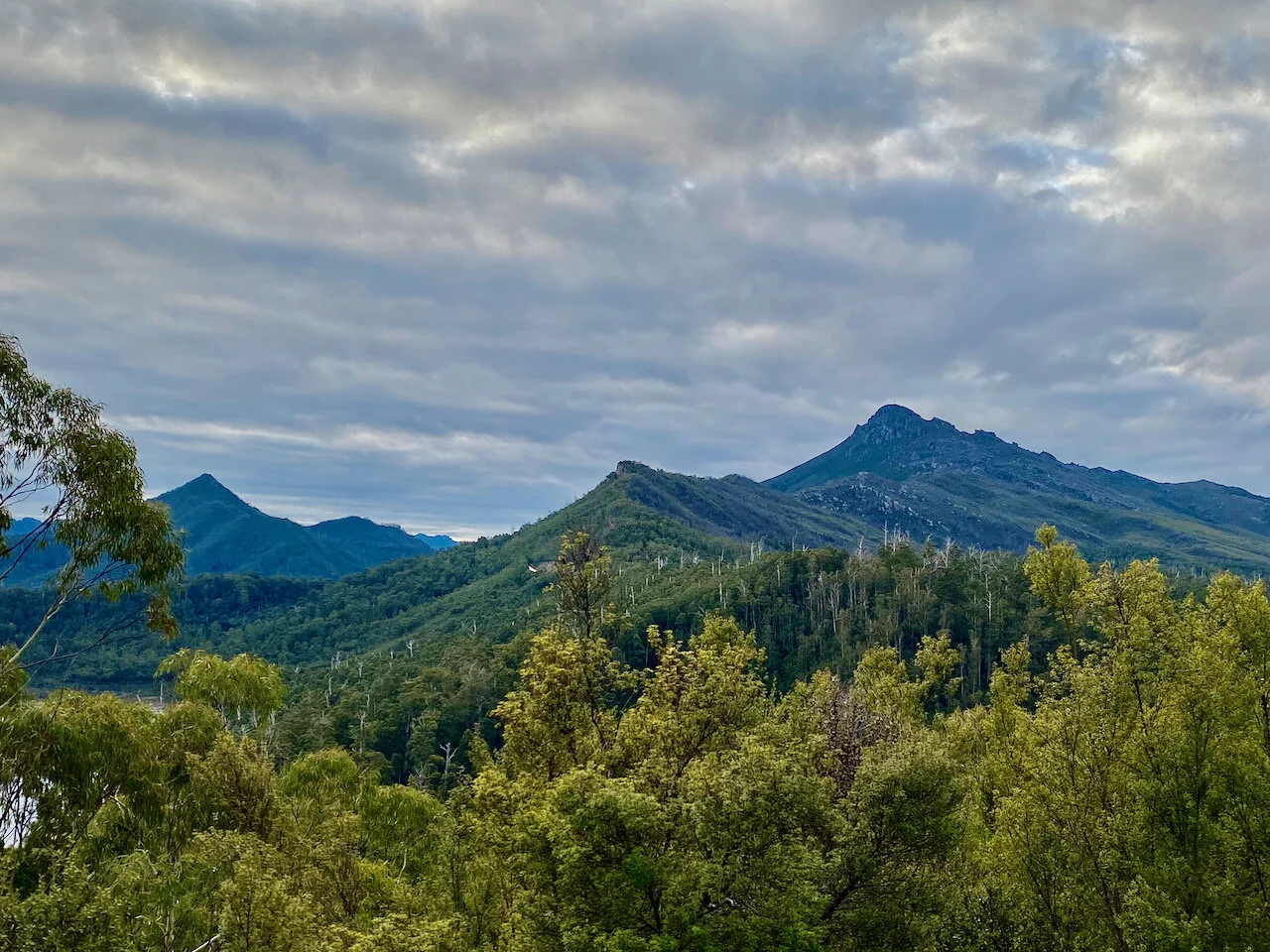
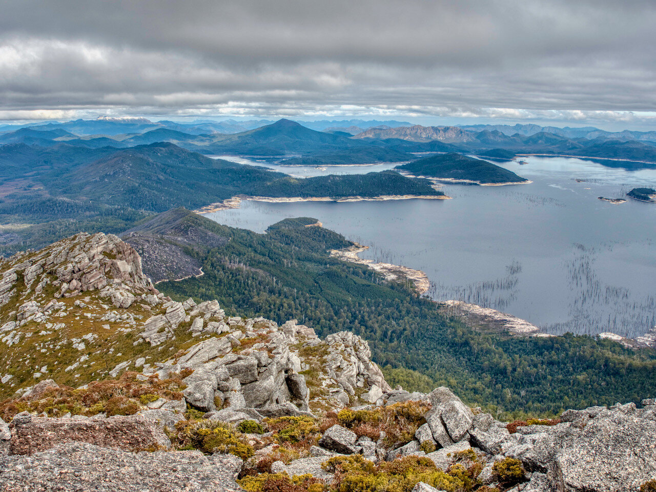
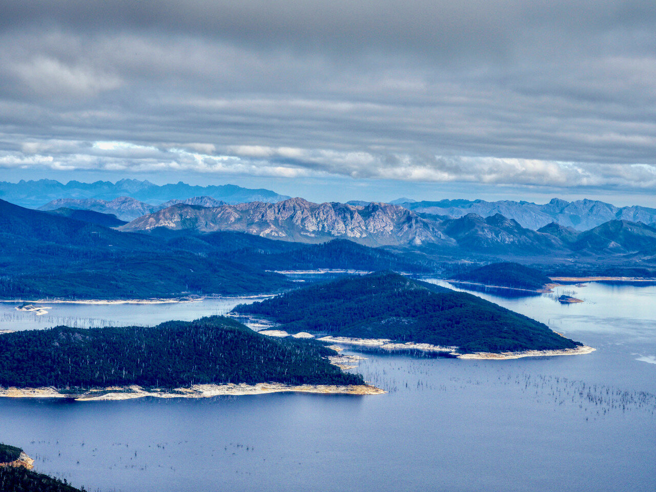
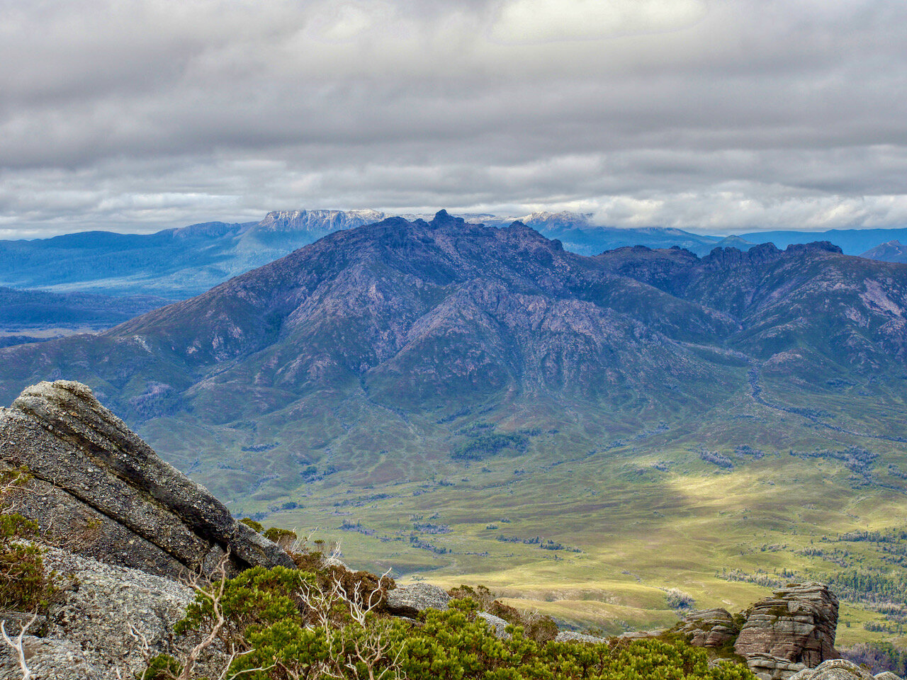
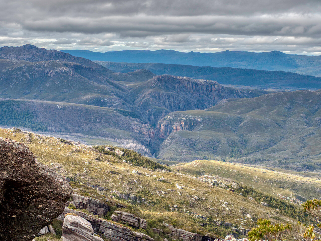
After climbing this initial false summit, the view really open up.

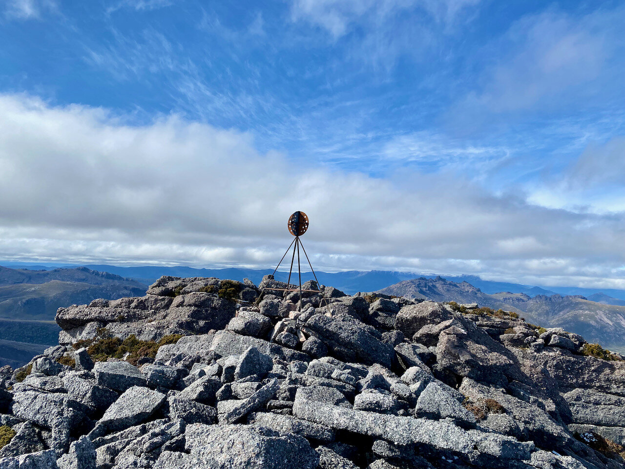
We then had one last little climb to the summit.