
Tasman Costal Trail
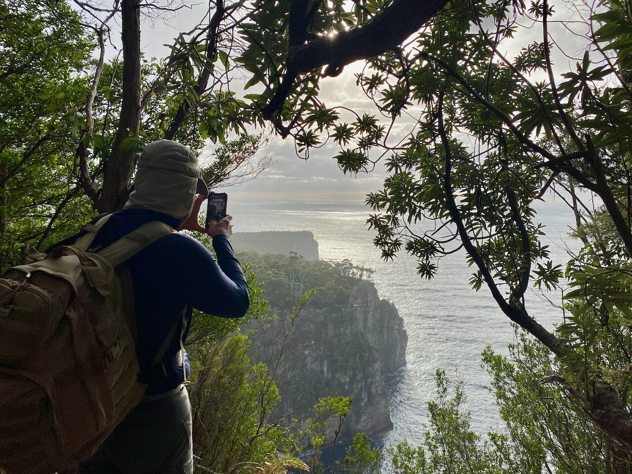
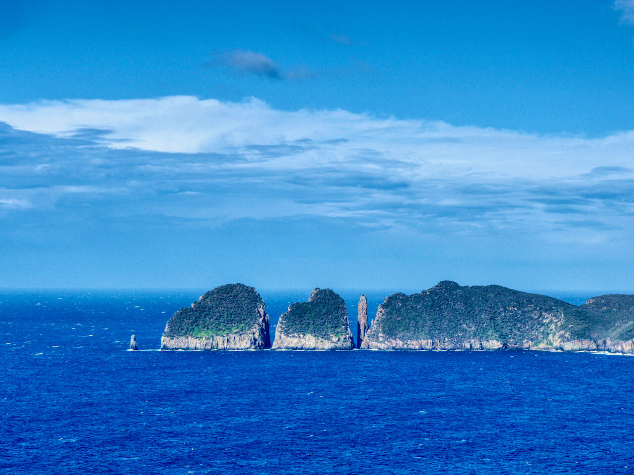
On Saturday the 31st of July 2021, Col and I hiked the Tasman Costal Trail from Waterfall Bay to Fortescue Bay on Tasmania’s east coast. The TasTrails info on the walk (much more detailed than this post) gives an estimate of 7 hours, but in good weather (although a little cool), we managed to do it in 6.
With 17km between the start and finish, the day started with a car shuffle, leaving my car at Fortescue Bay and then returning to the start in Col’s. Access to the start of the walk is from the very end of Waterfall Bay Road near Eaglehawk Neck.

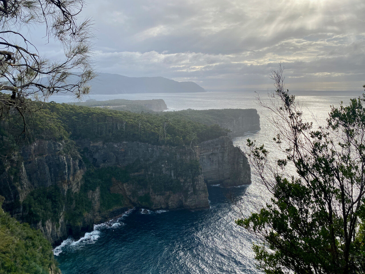
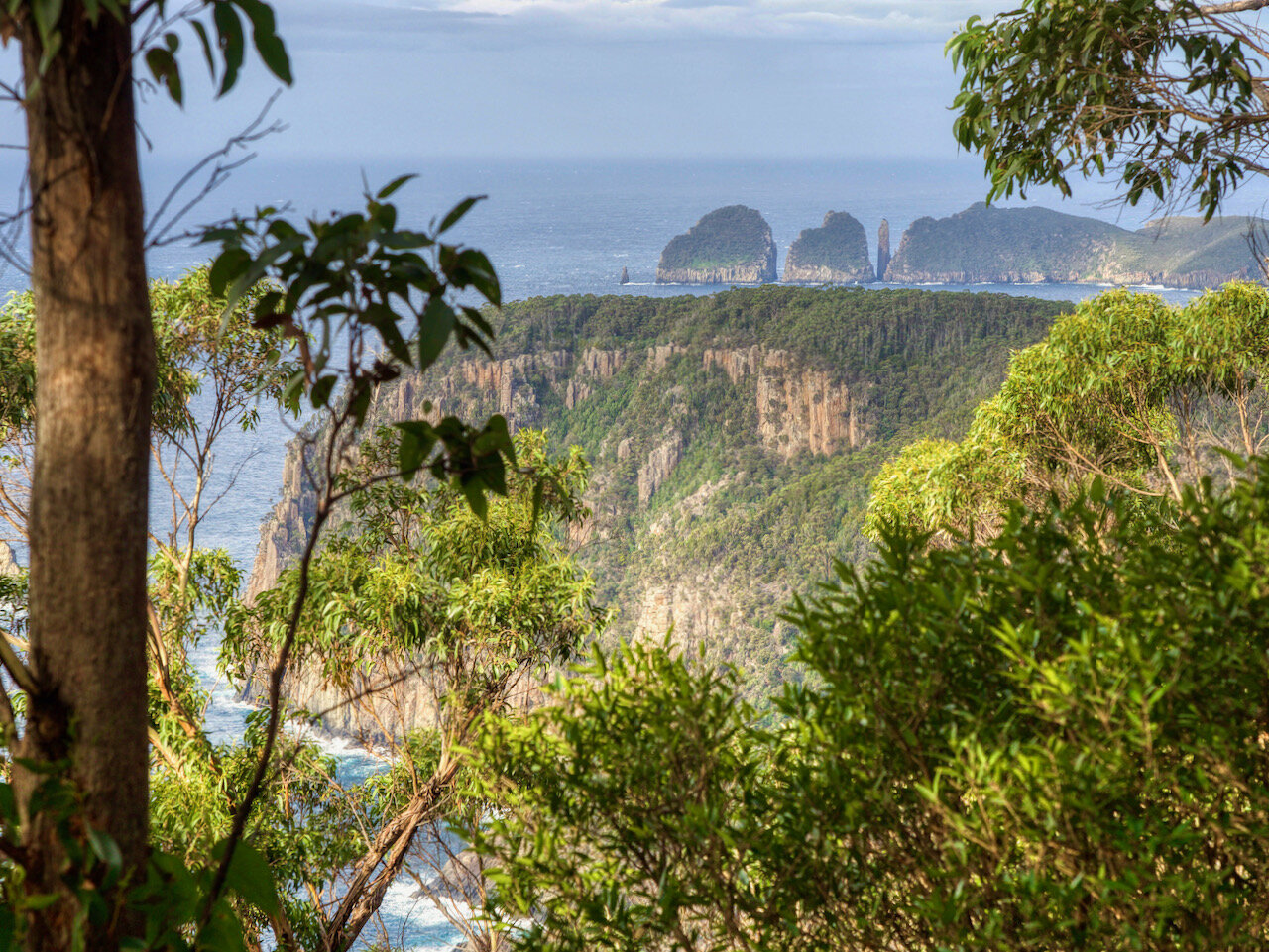
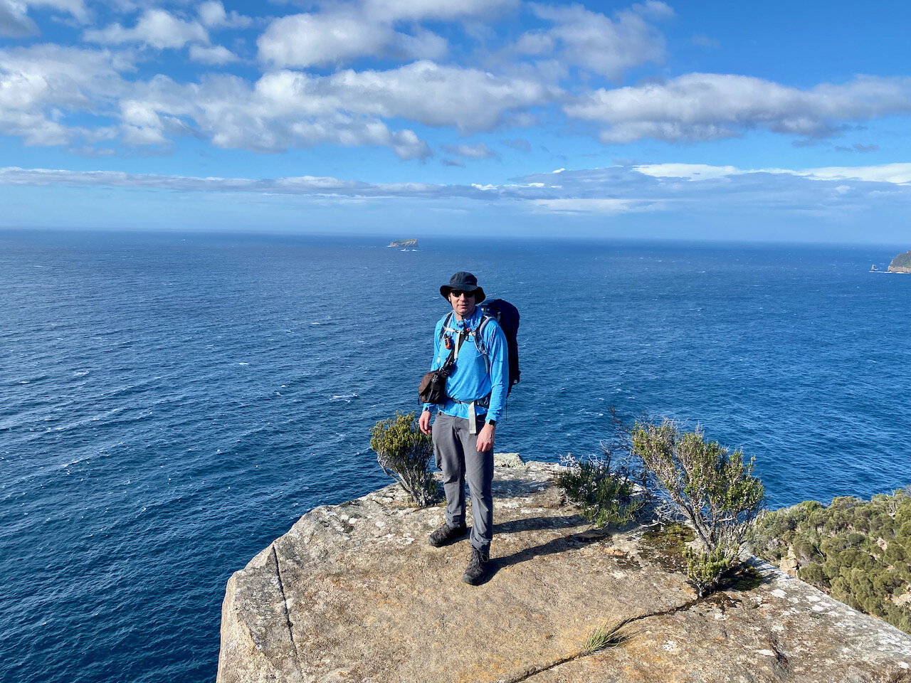
The walk is a very clear, easy to follow, broad trail. However over the 17km length, my Apple Watch tells me we gained 884m in elevation in the up-and-down of the mostly cliff-top walk, making it a pretty good workout!
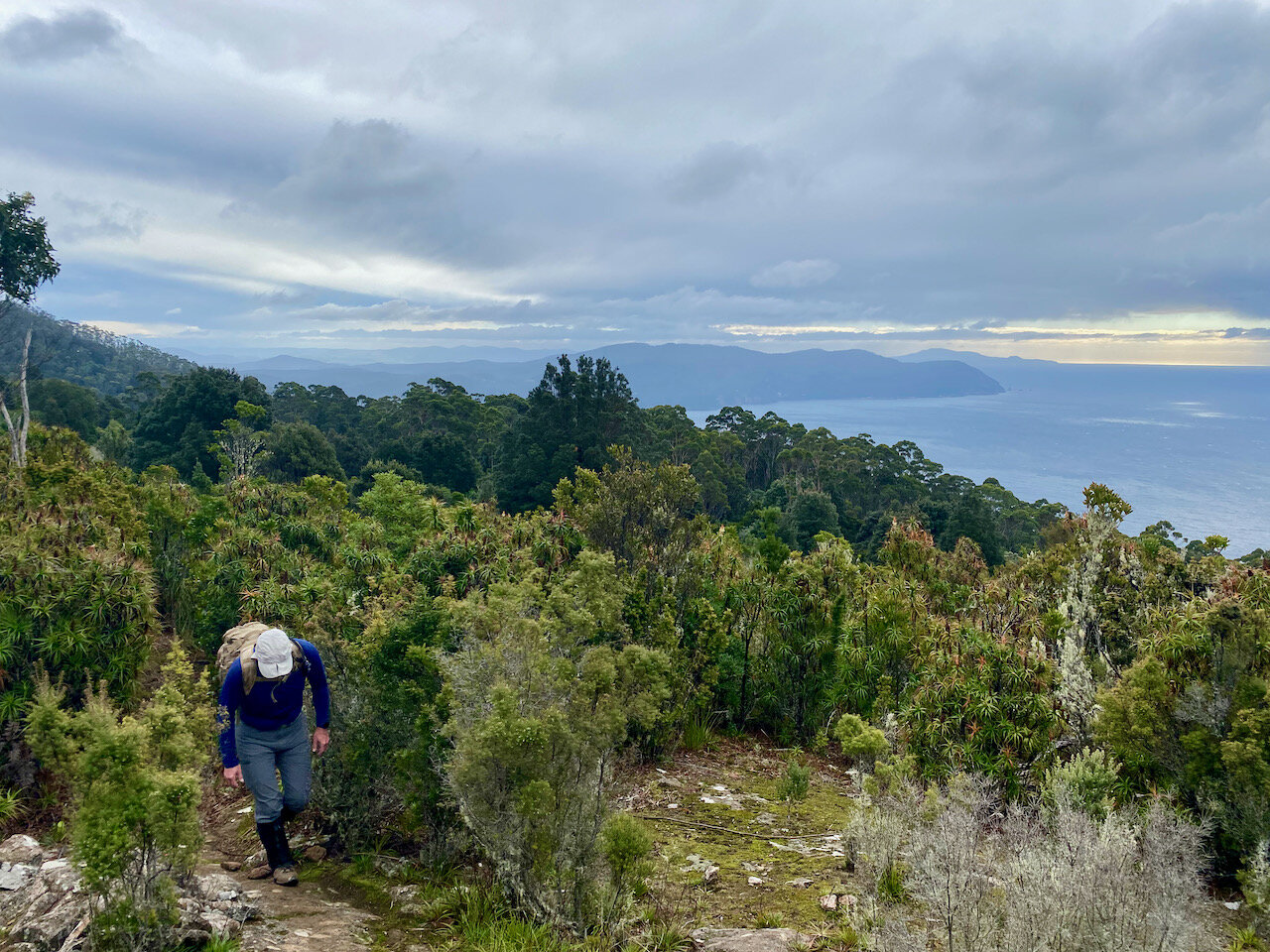
As we rounded Dolomieu Point from the coast into the greater Fortescue Bay area, we encountered the lovely campsite a Bivouac Bay (about a two hour walk in from Fortescue).
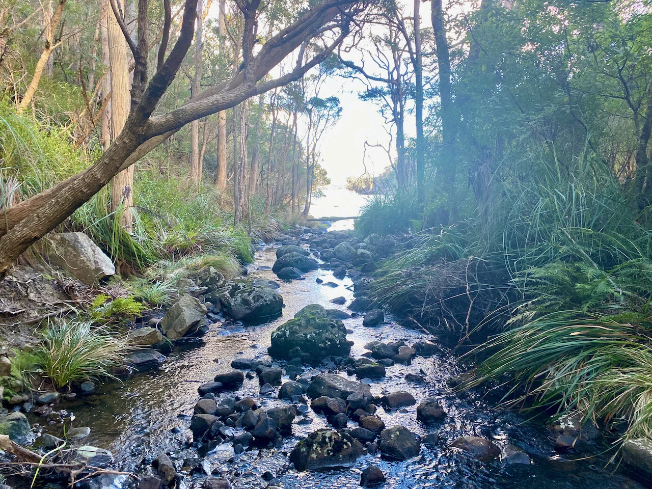
Bivouac Creek
The remainder of the walk from here to the finish was pleasant, but we were happy to finally reach the beach at Fortescue and the finish.
