
Packrafting the Upper Styx River
Back in December 2021 I’d driven out to the Styx River to do a recce ahead of a planned trip. However, it didn’t end up happening. The gauge on the river at Bruces Bridge appeared to be faulty, in that it didn’t show the level when it dropped below 1.05m. I reported this to the Bureau of Meteorology, who after (remotely) checking the gauge level, and comparing with nearby gauges, determined it was working — although clearly this was not the case. Then in February 2021, Sustainable Timbres Tasmania advised that due to logging operations they would be closing a section of Styx Road between February and June 2022.
As a result, the Styx had fallen off my radar until I saw a YouTube video by Joshua Resta in early August documenting some packrafting trips down the North Esk and (more challenging) lower Styx. In that video, Josh mentioned that the Styx had a new gauge!
I reached out to Josh and he believed the the original gauge was recalibrated and then replaced with a new one. However, he understood that while the new gauge is accurate, its level doesn’t line up with the old one. But despite this, with a level around 1.1m, I was keen to give it a go. So on Sunday the 21st of August 2022, Col and I headed out to give it a go (with the car’s external temperature gauge dropping to -1ºC on our way to the start!).
Video of Our Trip
Level
Before we left home on Sunday morning, the gauge was showing 1.12m, but was sitting at 1.1m by the time we got to the river and for the duration of our trip.
At Glenora, there was a clear channel in the stream, however the rock ledge on the right (looking up stream) was exposed.
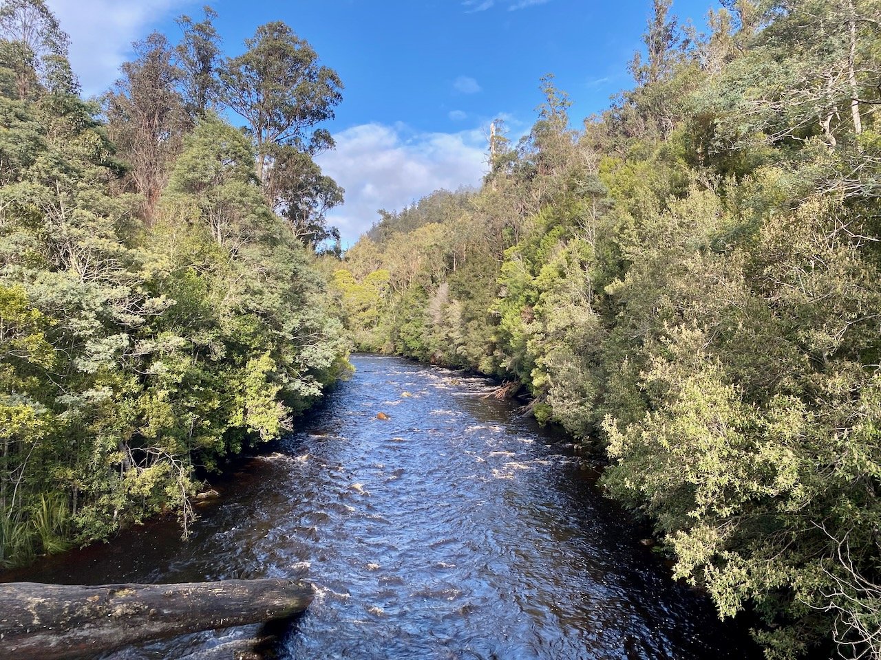
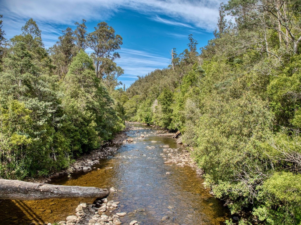
The below images show the water level at the Styx River Bridge for this trip (first image) as compared to the unknown level below 1.05m in December.
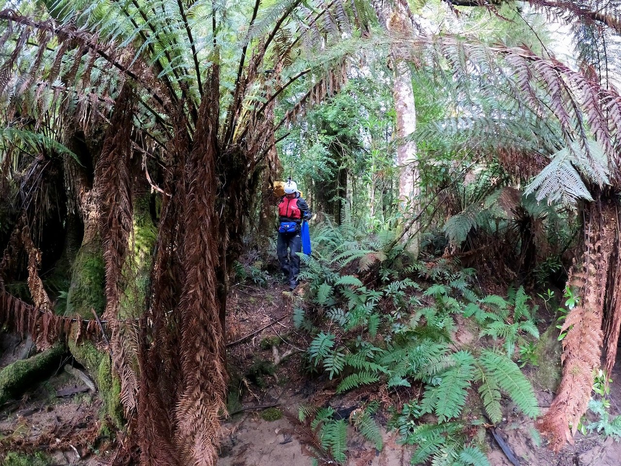
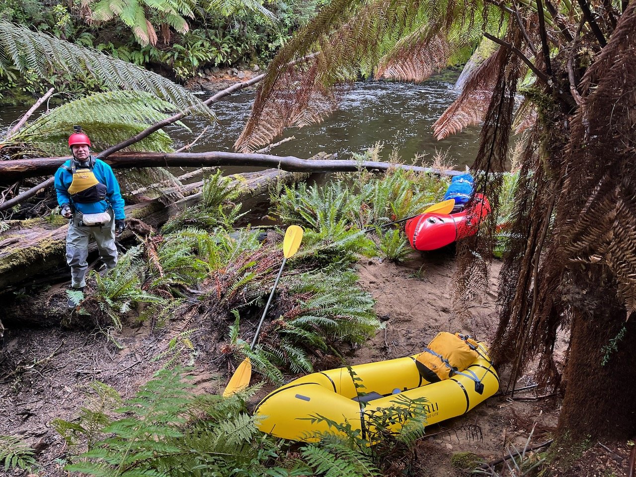
Putting In
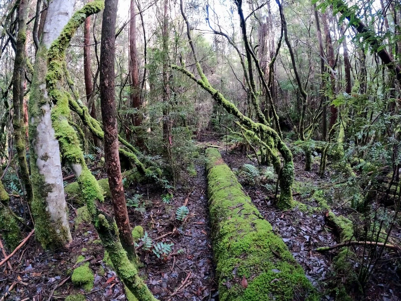
The WikiRiver page for the upper Styx includes a map and notes that above Jacques Road the river is scratchy and loggy with several portages over logs (at least in 2002). As a consequence, we decided to start from the track down to the river near Jacques Road. The track starts just past Jacques Road (coming from the direction of the Styx River Bridge) and is marked with a cairn.
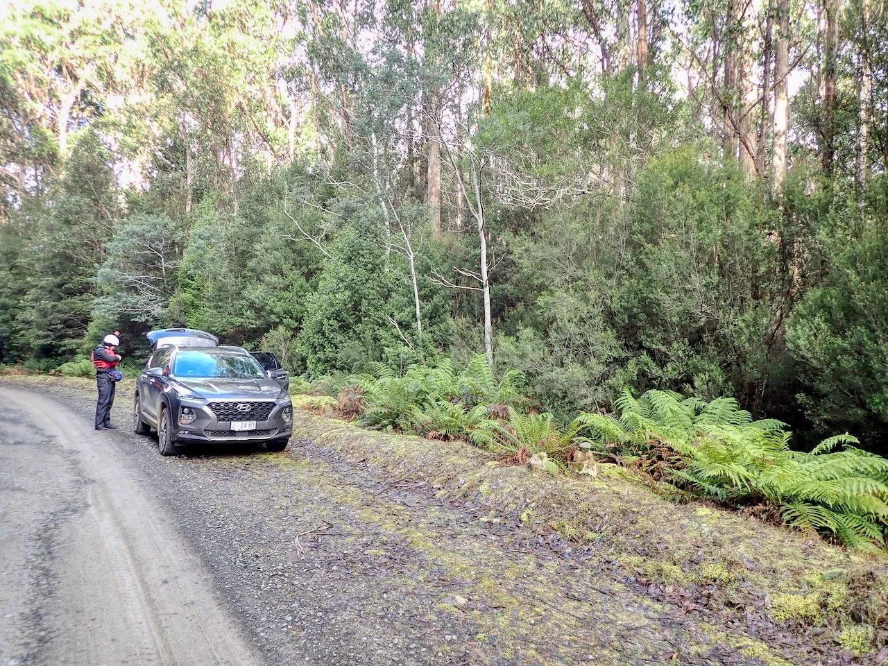
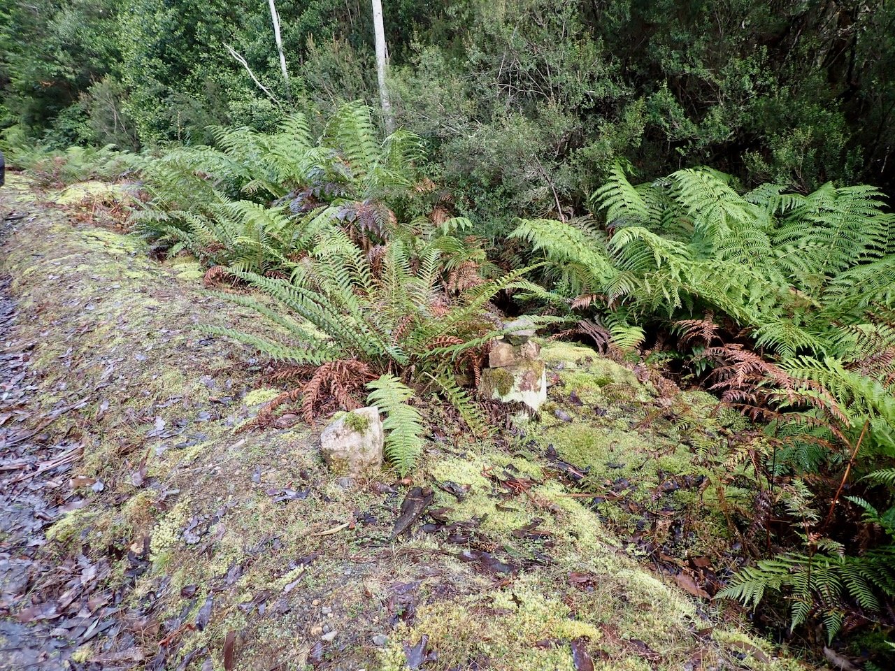
As you exit the road at the cairn, the track is not straight ahead, but on an angle to your right, which appears to be blocked by large ferns that you need to duck under. Once past the ferns, the track is clear and easy, being well marked with pink tape. All up, the track is about 300m in length.
The River
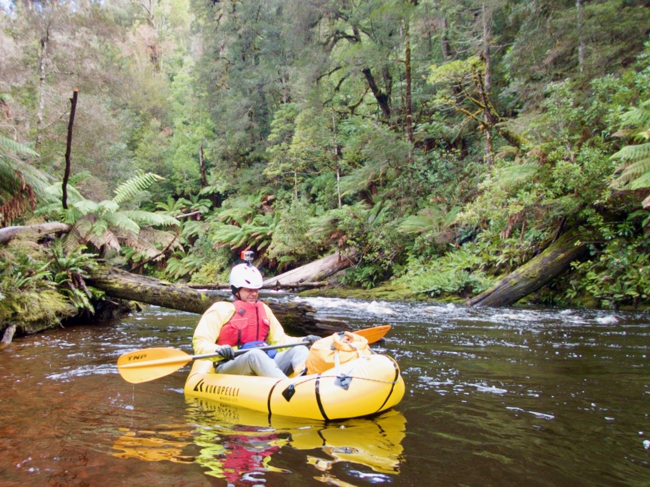
The put-in point was directly below a bend where the water was flowing quickly, but from the put-in point down there is initially some reasonably calm water.
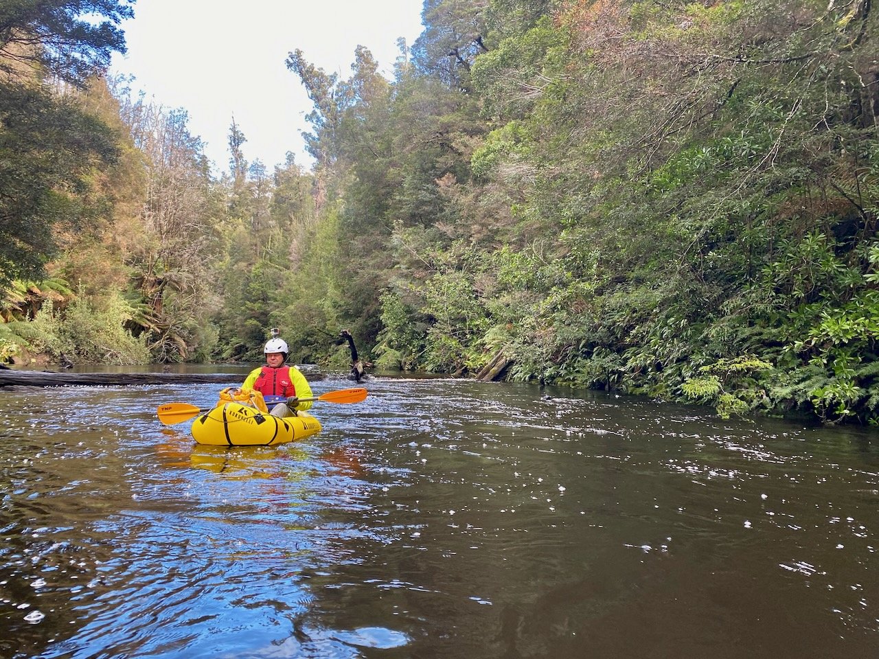
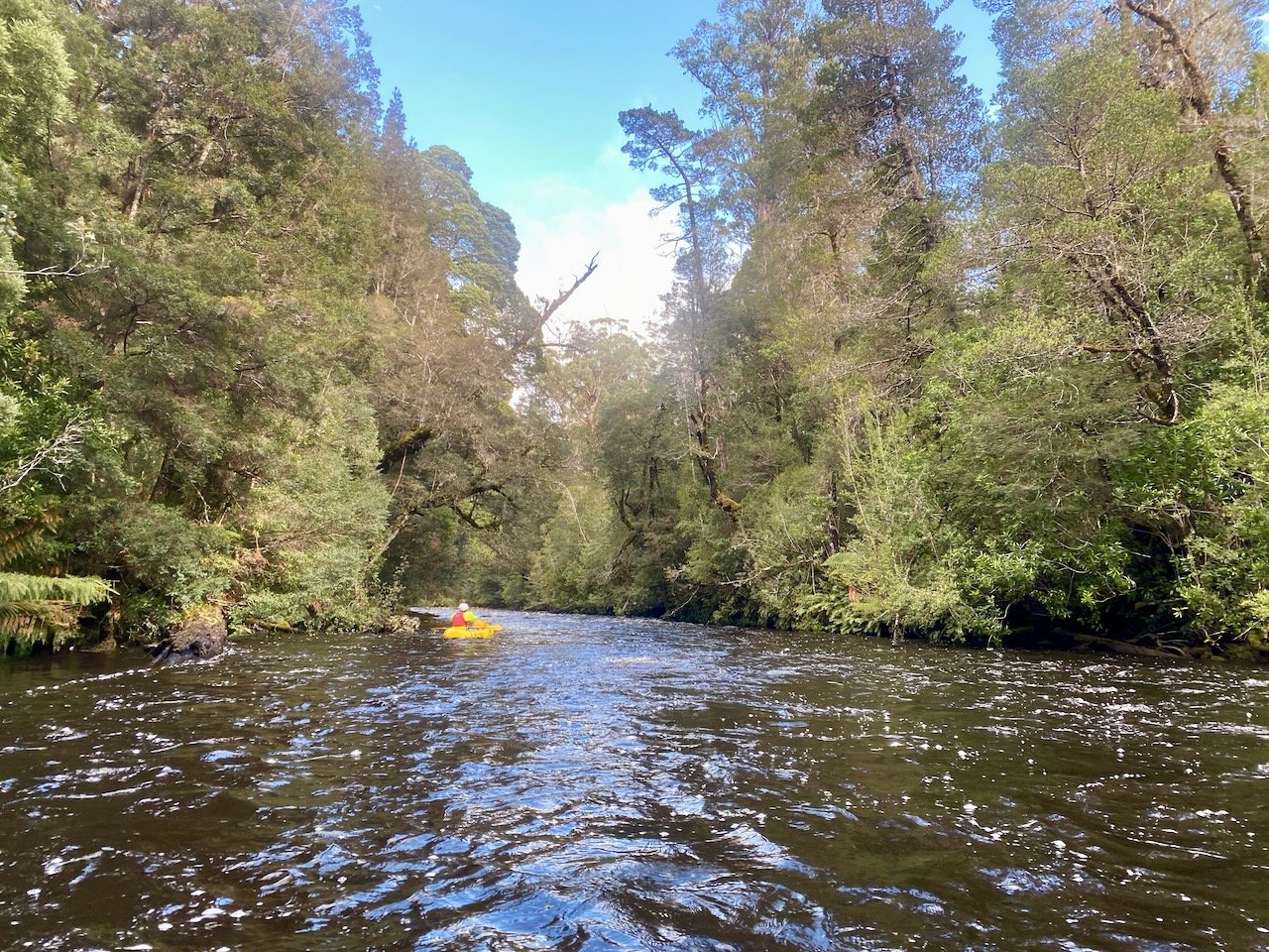
However, soon after we started to encounter more briskly moving water and rapids. There was nothing troublesome, although there are several longer sections of joined up rapids. At 1.1m the river was squarely in grade 2 territory, but the long sections of rapids made it appear more challenging than it actually was at times.
We really enjoyed the river, as while there were still some quiet sections, the regular moving water and rapids throughout its length made it much more interesting than some other rivers we have done.
We also didn’t encounter any obstacles that required portaging. At about 4.6km down river from our start point we encountered an island that appeared to have a channel to the left, but from upstream we weren’t sure that it was clear. As a result, we did portage here over the shingle rapids to the right, but we could indeed have paddled on the left.
Although not really shown in the video, in the last kilometre before the bridge there are several river-wide rock ledges, resulting in drops. Below each of these the water was churning back on itself, which would provide a good opportunity for surfing, but the WikiRiver page advises these could become stoppers at higher levels.
At 1.1m, the river level was perfect for us. It would definitely be possible to do at a slightly lower level, but at 1.1m, the river was interesting and fun, and without anything significant enough to cause us concern.
Taking Out
Our take-out point was the Styx River Bridge. At this level, the water is moving beneath the bridge, but there was a small eddy beneath it on river right which we were able to stop in and exit the river without issue.
All up, the 13-14km took us 3hrs on the water.