
Huntsmans Cap
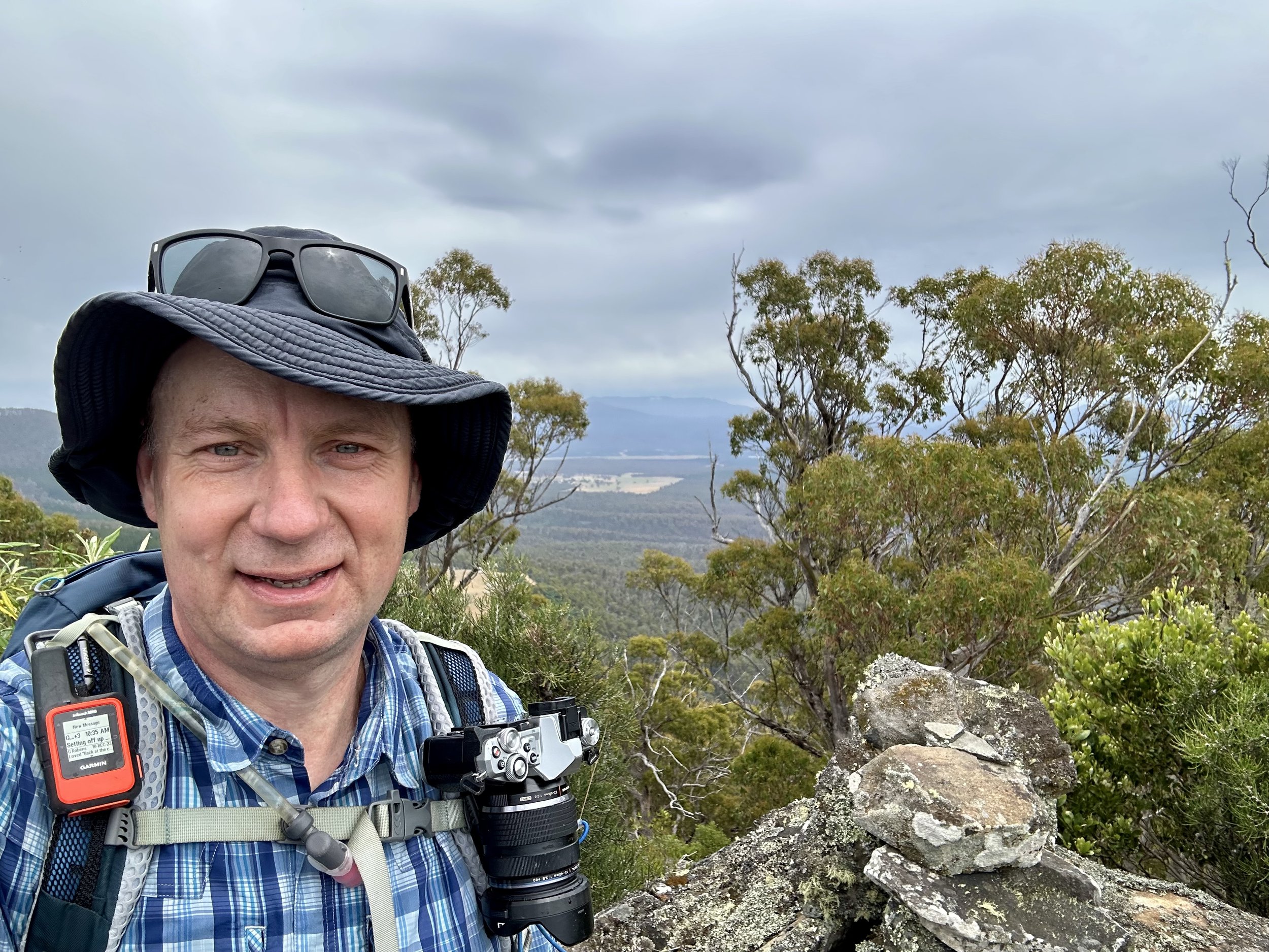
On Saturday the 20th of January 2024 I set out to climb Huntsmans Cap as a short solo day walk near St Helens.
Time: 2 hrs (return & including breaks)
Distance: 2.6km (return)
Elevation Gain: 236m
Location
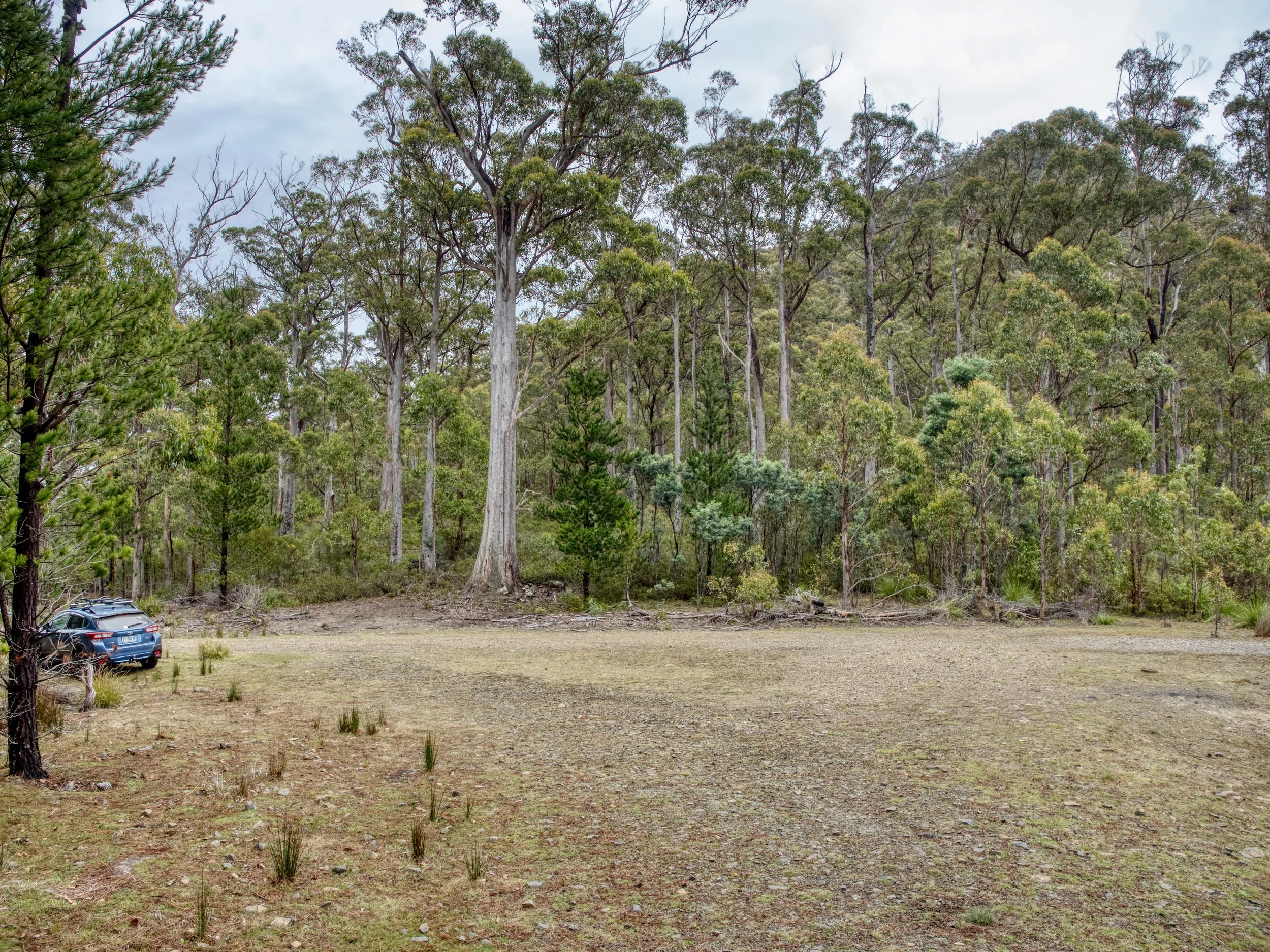
The hike is about a half hour drive from St Marys and is on the far (northern) side of the Nicholas Range from Esk Main Road. From St Marys, drive west on Esk Main Road, then turn right onto Mount Nicholas Road, right again onto Catos Road, and finally right again onto Hunstmans Road. The hike starts from Huntsmans Road, immediately south of the peak, at the junction with an unnamed forestry road (-41.52711 148.10362).
The Track
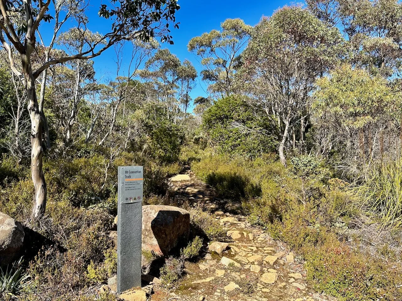
Looking towards the peak from the road junction, there isn’t any marker denoting the start of the hike, but a pad can be found several metres to the right of the large tree on the left in the photo below.
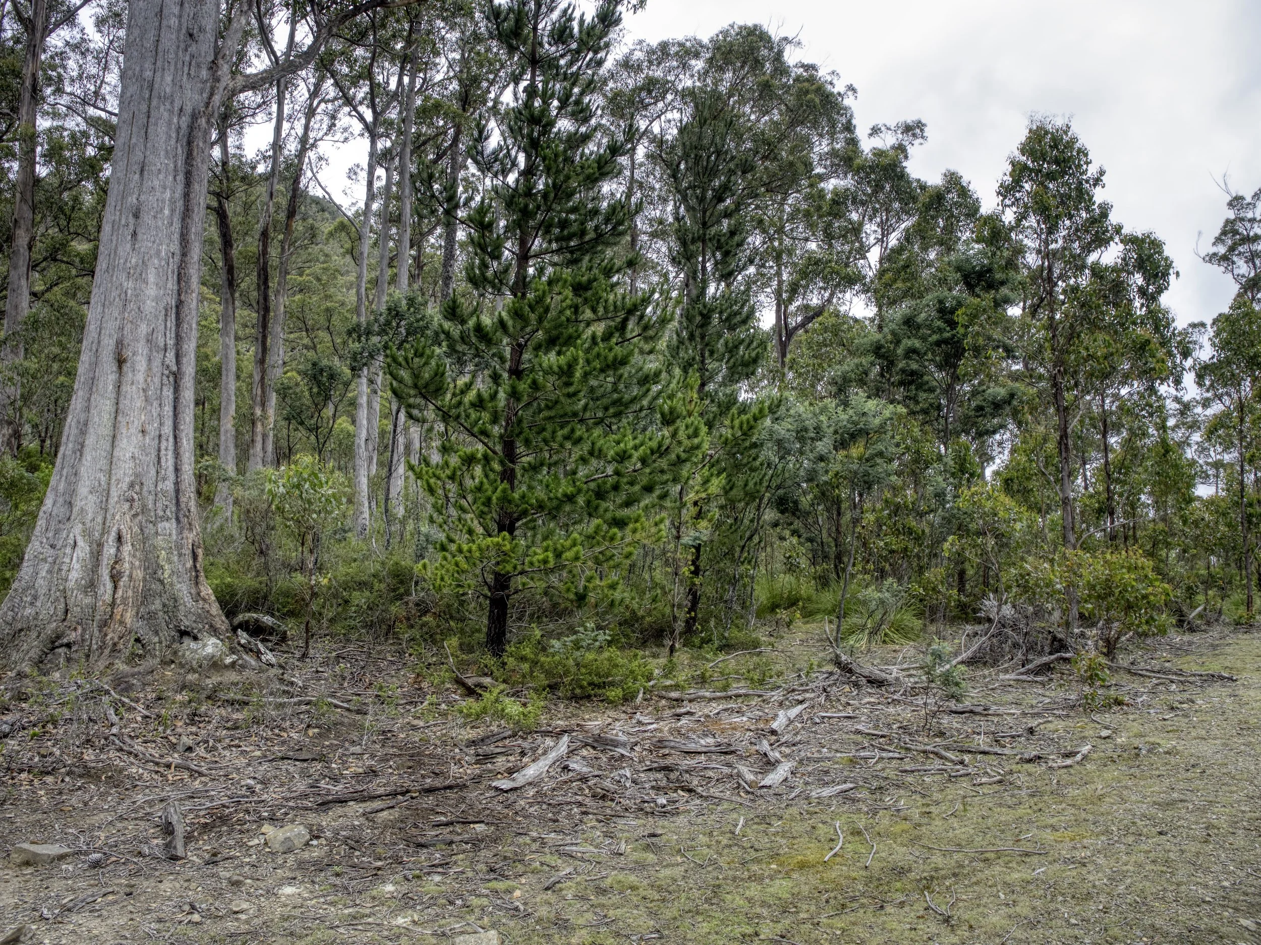
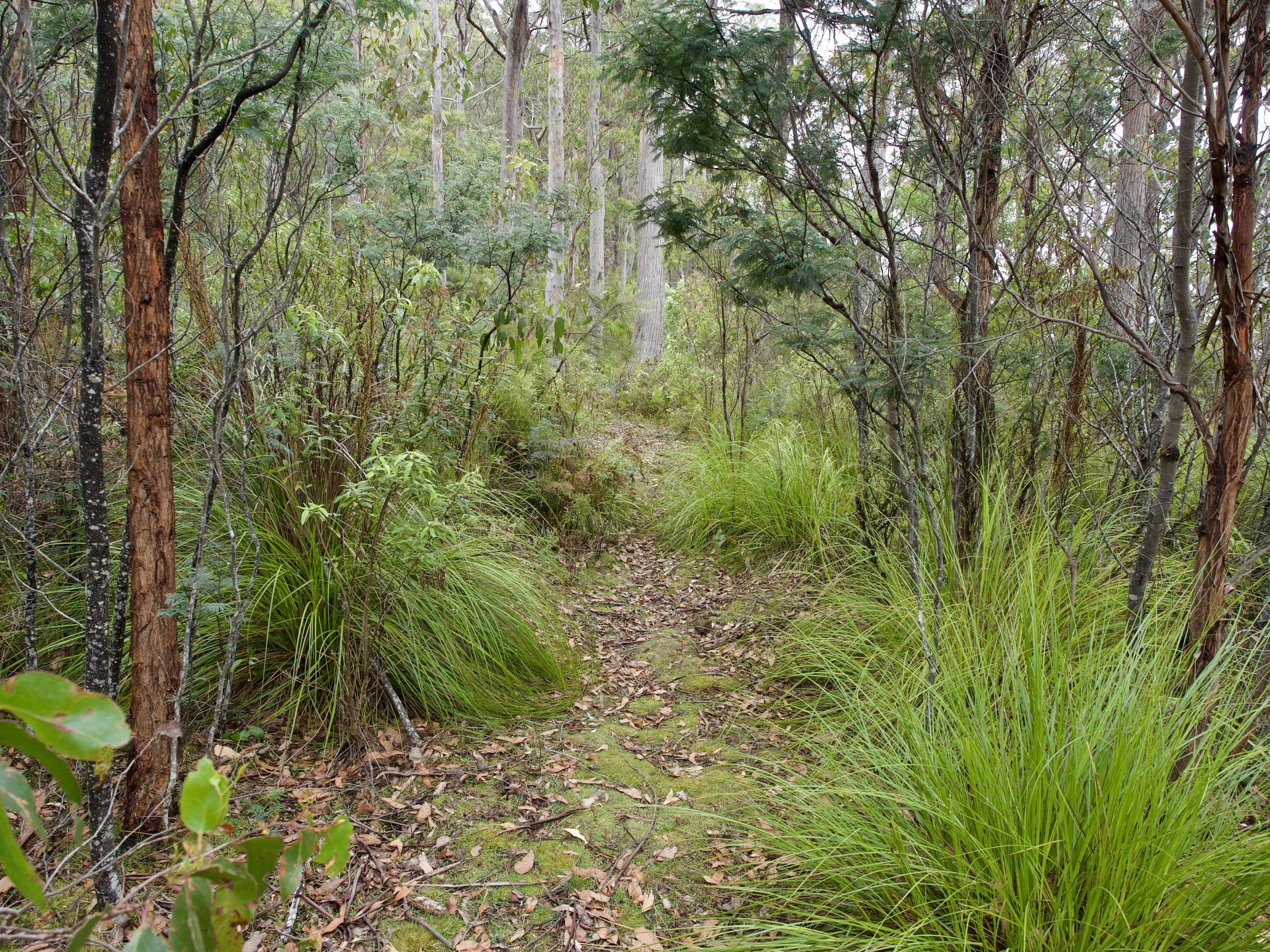
This initial pad peters out quickly and the remainder of the hike is untracked, although most of it is marked with cairns and/or is somewhat obvious. However, this does not include the initial section past the pad at the start. I had to do much hunting around here to find the track, having initially gone to far to the right.
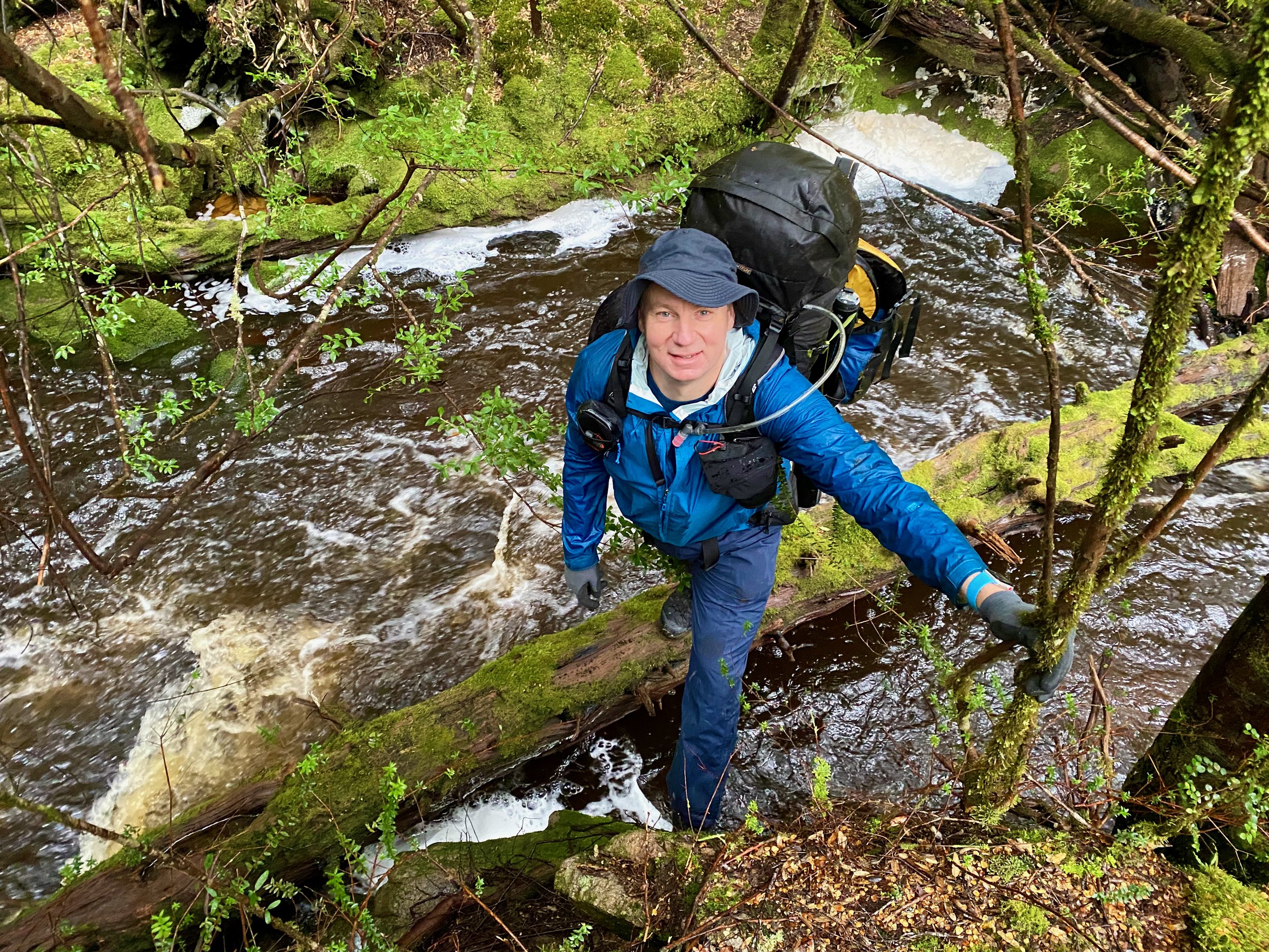
Post this point the walk goes uphill sharply, requiring much clamouring over rocks, although there isn’t anything particularly difficult.
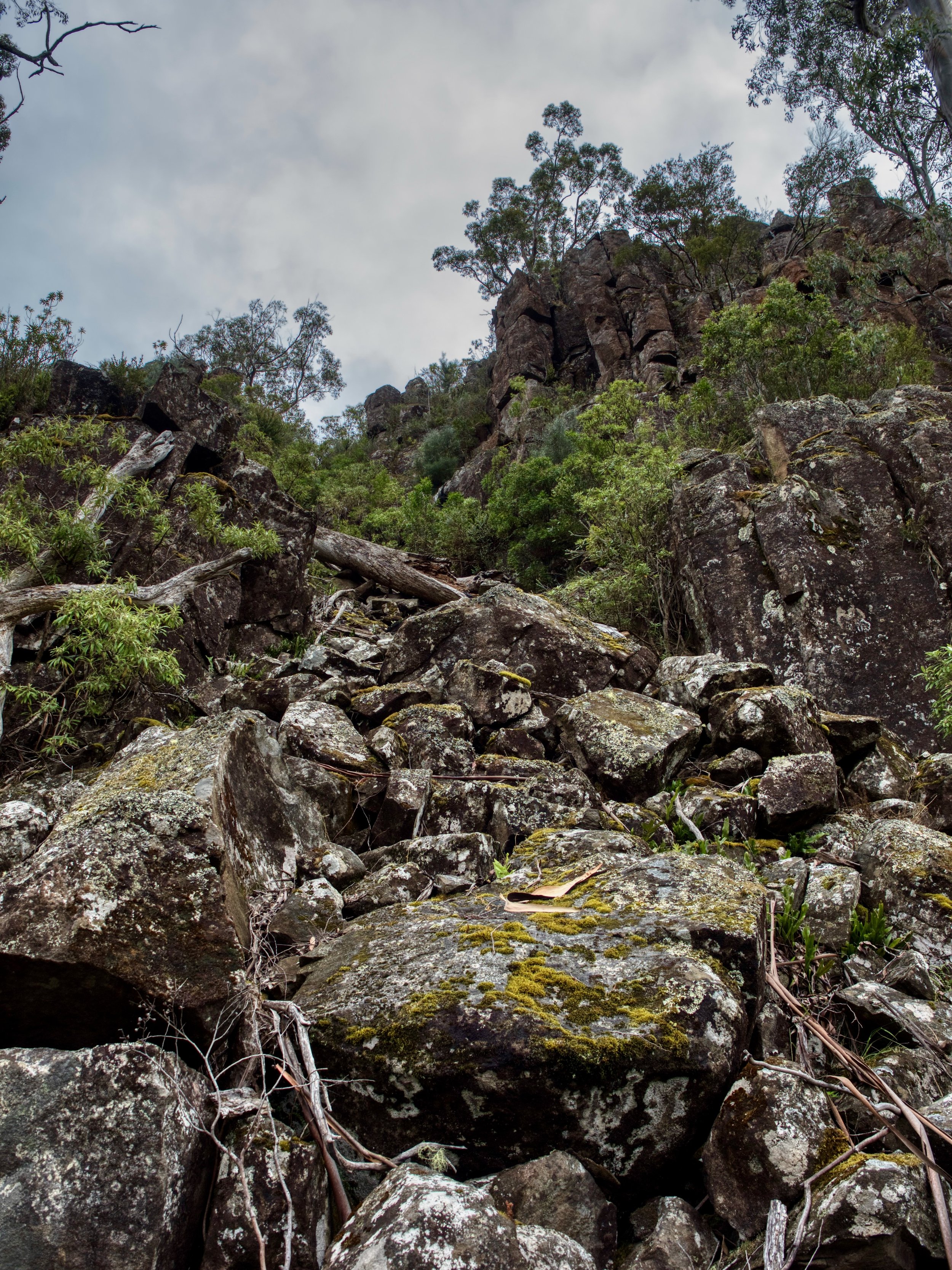
While there are some views on the way up, the walk isn’t particularly inspiring.
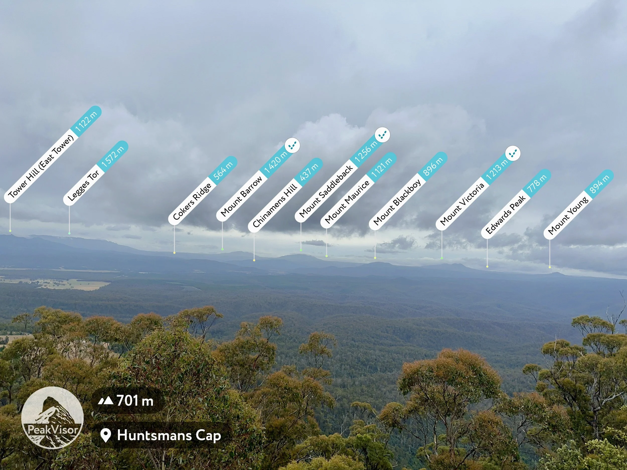
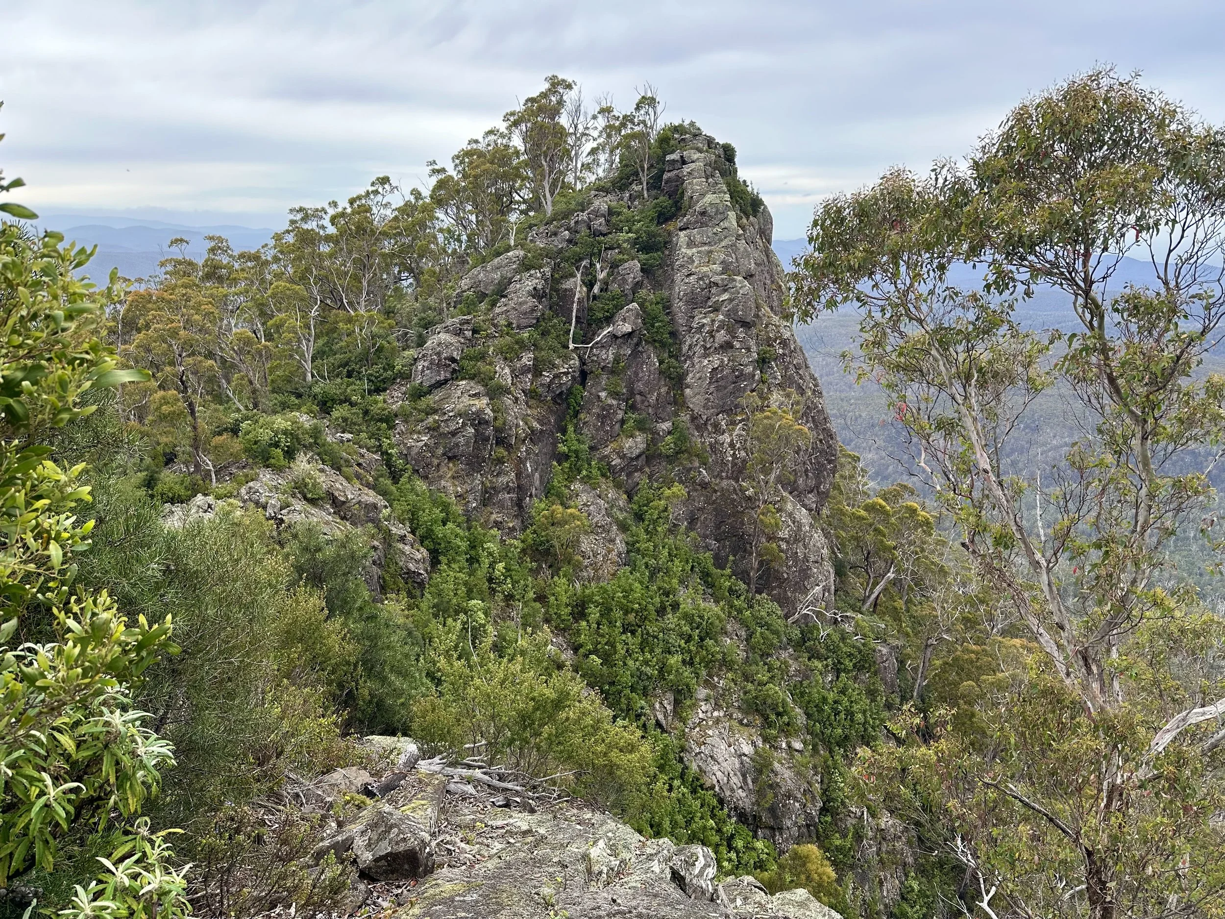
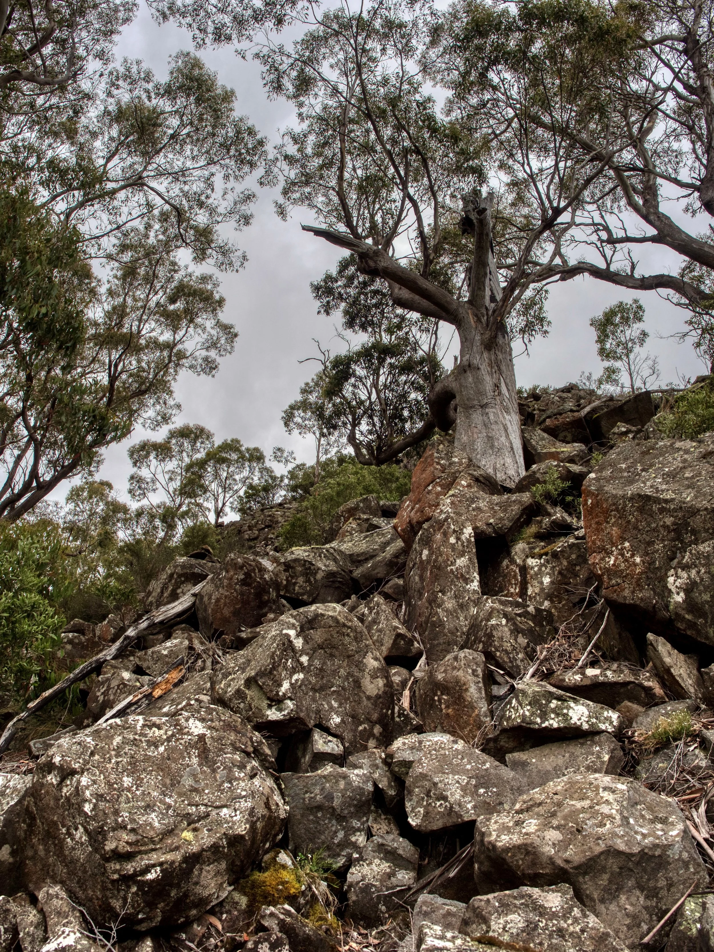
On the approach to the summit, it is necessary to drop down and climb up again, which offers a view of the summit itself before the final ascent.

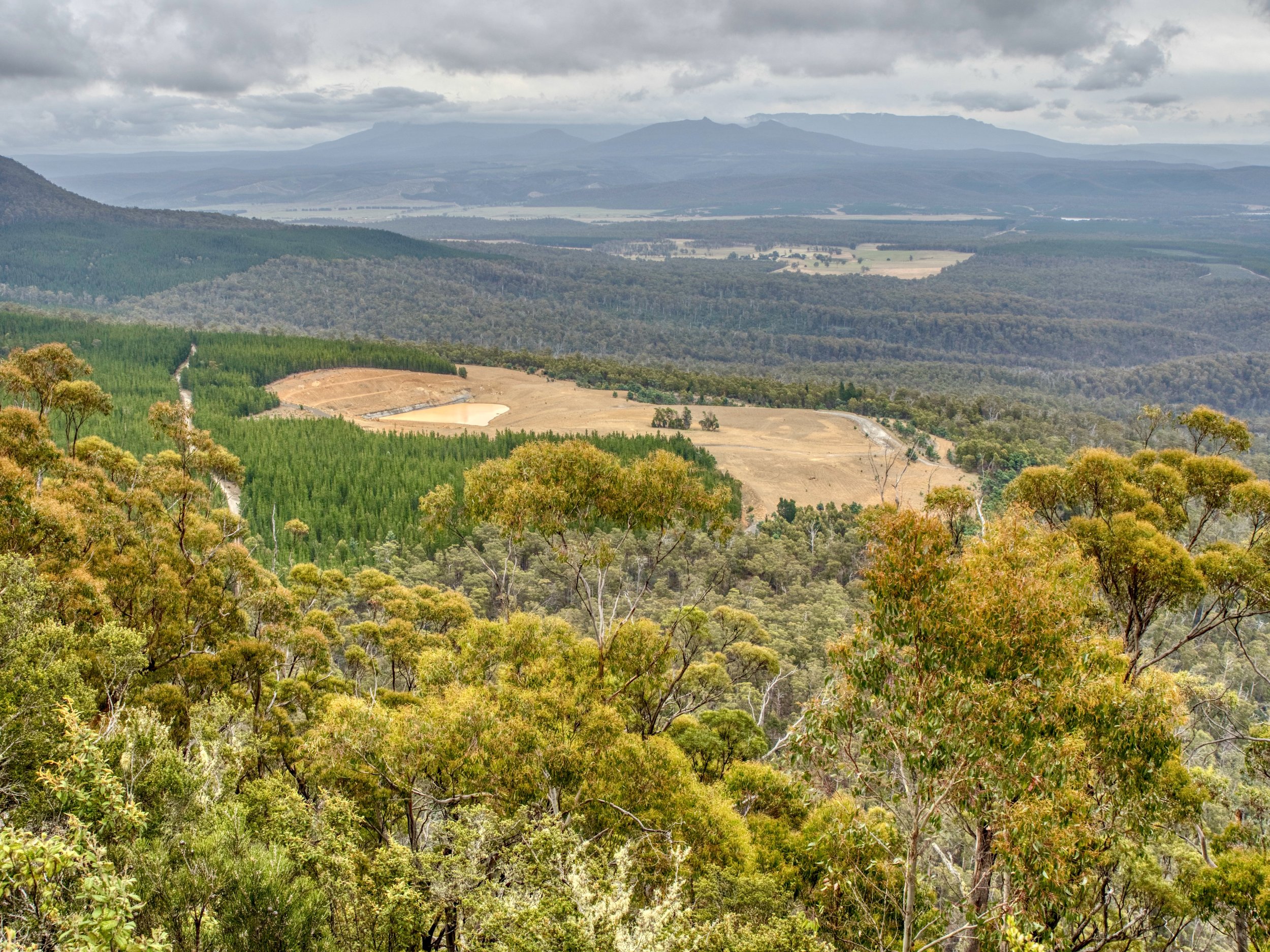
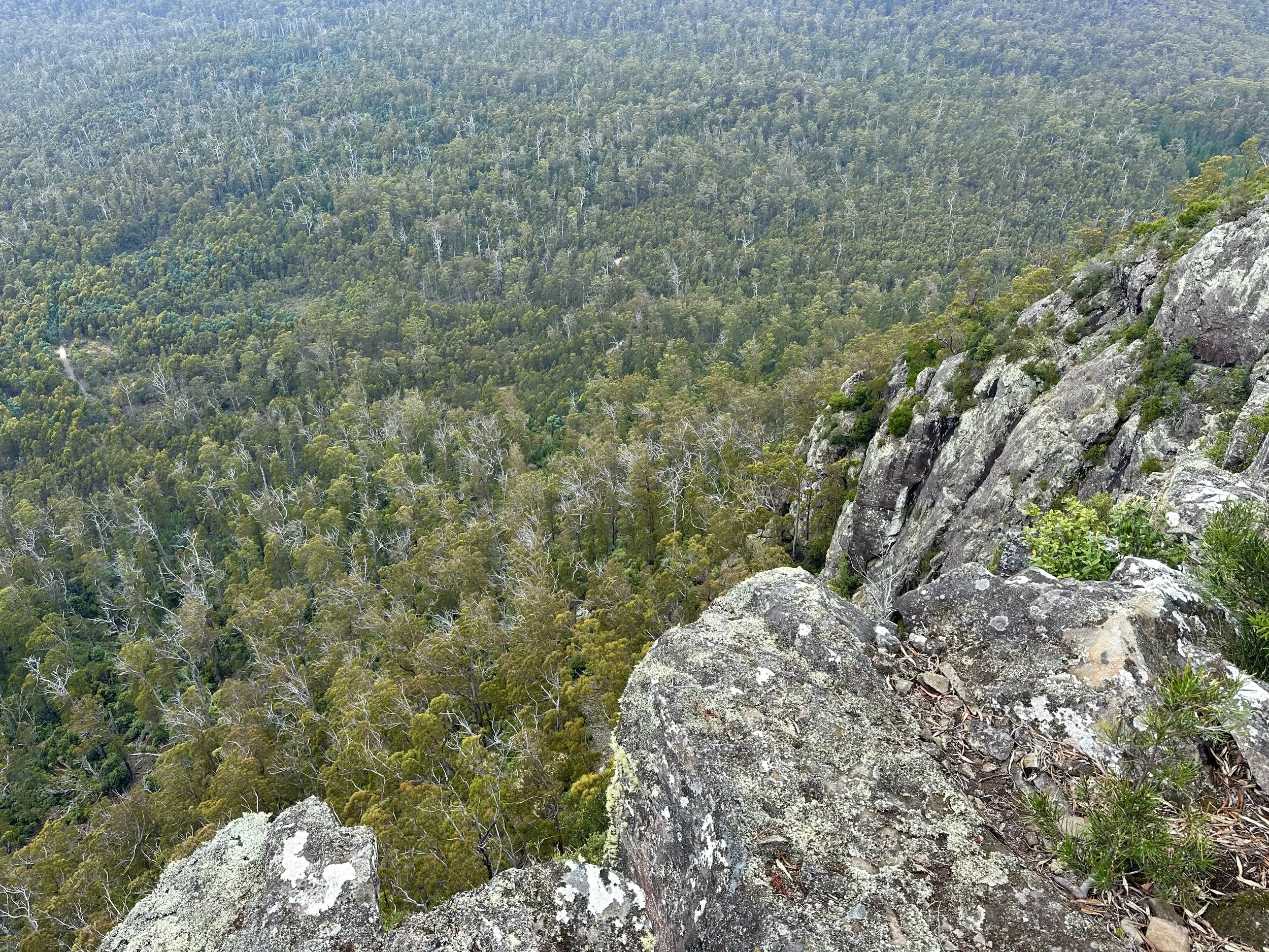
From the summit, the views are limited by the vegetation, but there are some interesting views looking down into the valley.
All up, it was an interesting way to fill in a day, but it isn’t a highly recommended walk.