
Plateaus Are Cool Too – Our Failed Du Cane Range Traverse
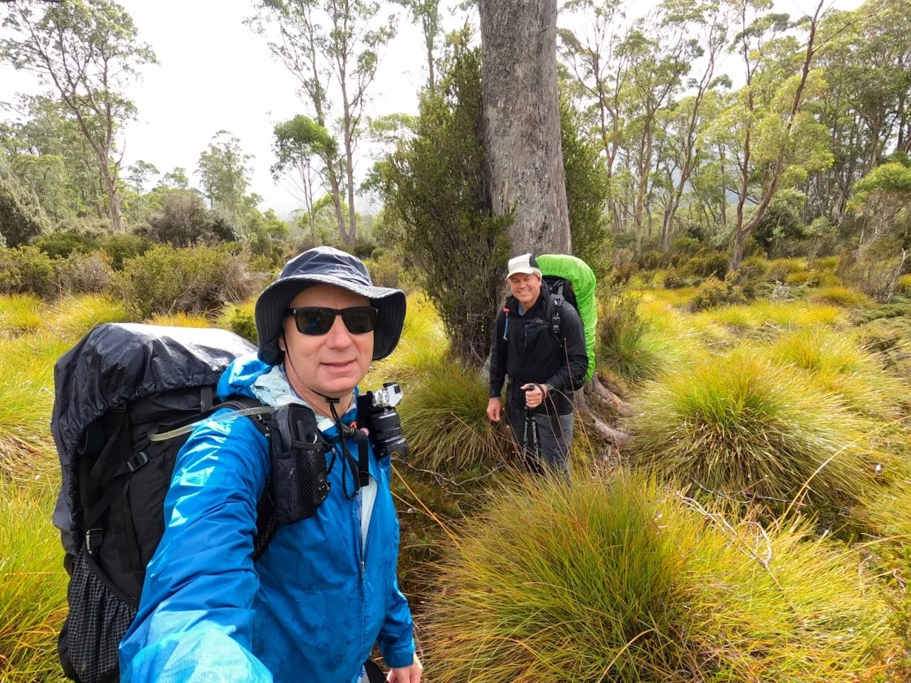
For our major trip this year, Col and I decided to traverse the Du Cane Range, and set off to do that on the 29th of February 2024. Unfortunately, the weather had other ideas, and after being smashed with strong winds on the Gould Plateau over two consecutive nights, we ended up giving the plan away.
The Plan
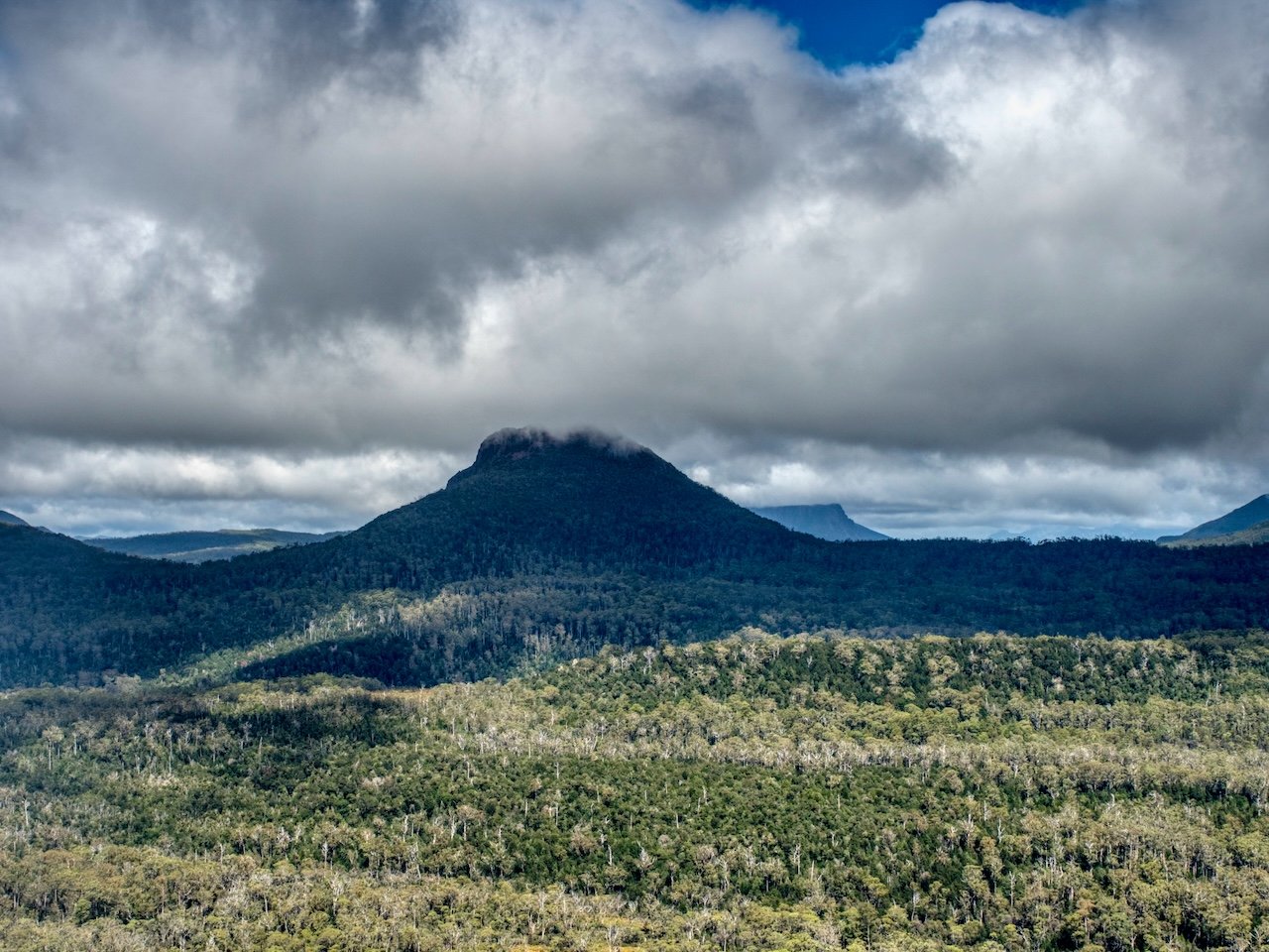
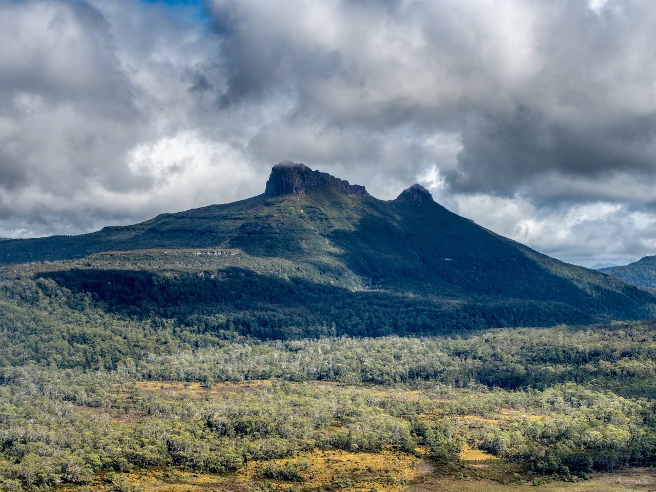
Our original plan had been to hike from Narcissus Hut, at the northern end of Lake St Clair, to the Gould Plateau. From there we'd summit Mt Gould and then spend the night on the plateau, before sidling around the mountain the following day to the Gould / Minotaur saddle and continuing on to the Guardians. After that, the plan was to hike through The Labyrinth to summit Mt Eros and Mt Hyperion, before finishing the traverse with the Du Cane Range High Point, Big Gun Pass, Mt Massif, and Falling Mountain. We'd then exit onto the Overland Track and hike back to Narcissus.

A very rough indication of our planned route.
We'd allowed ourselves 6 days to achieve this, and in the days ahead of our departure the weather looked promising, but weather forecasts and Tasmania don't always align!
Our Trip
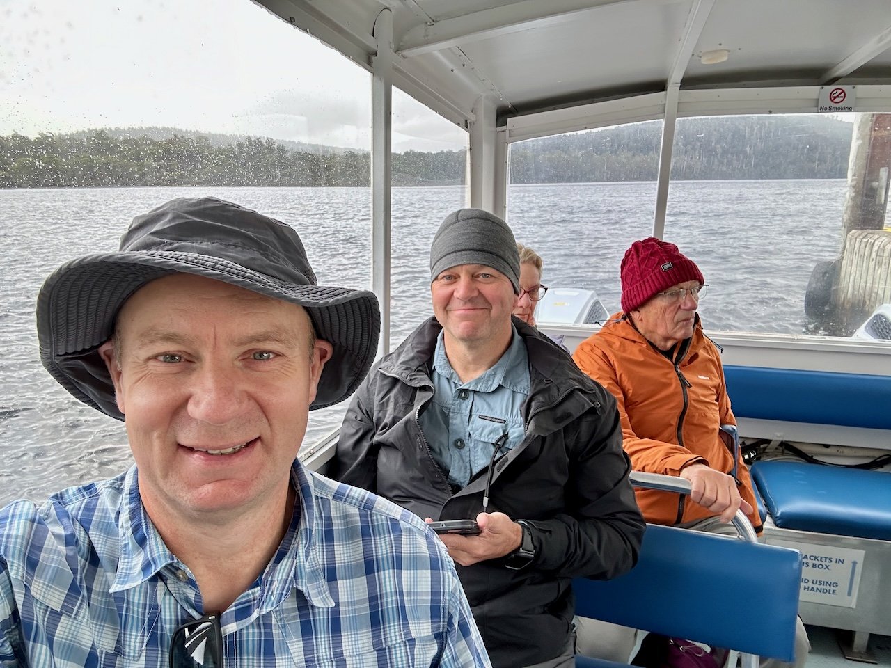
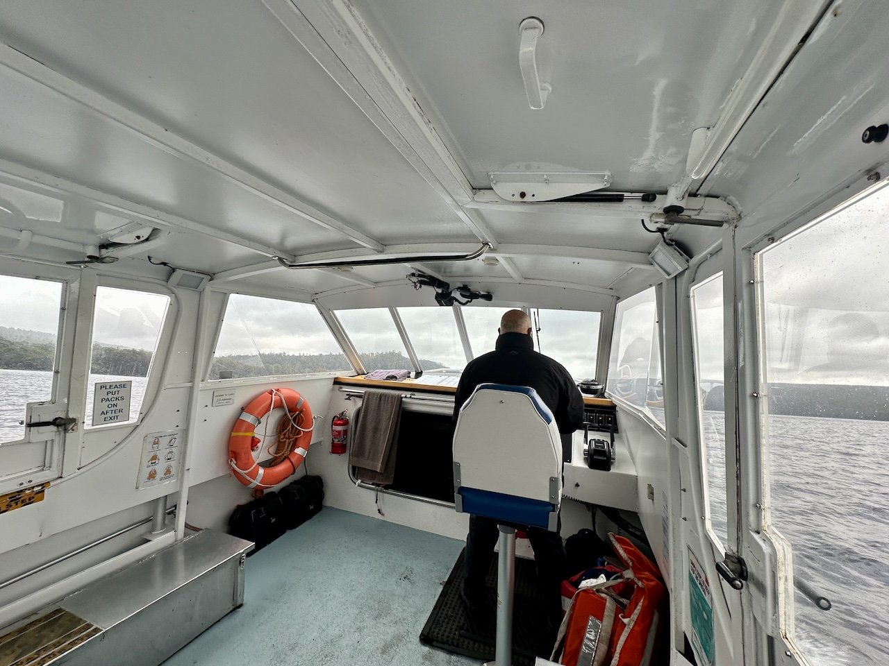
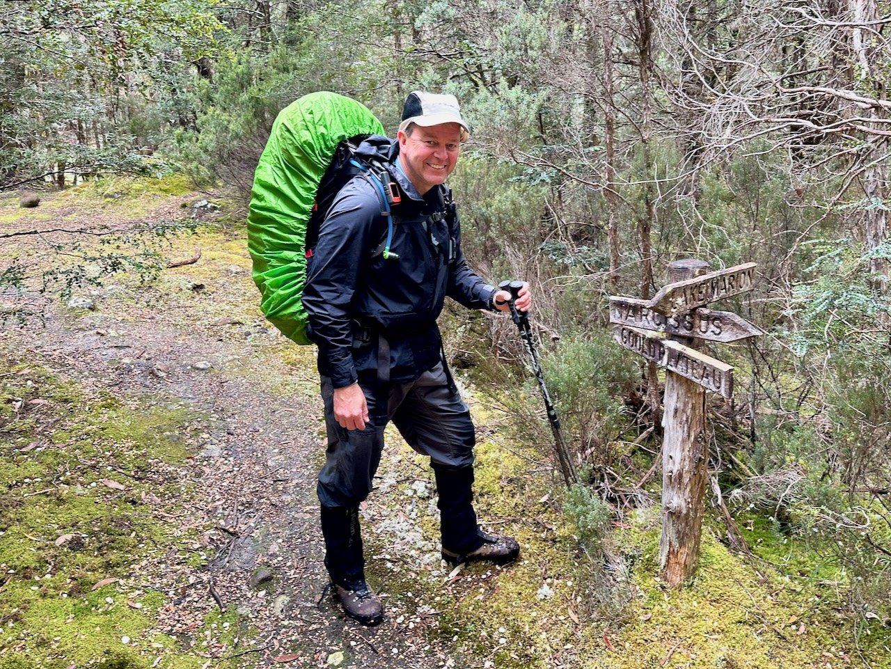
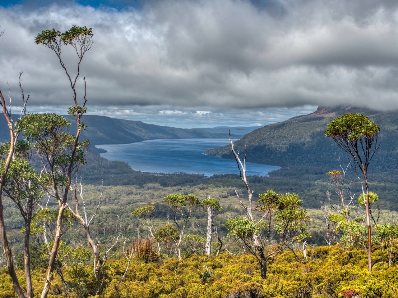
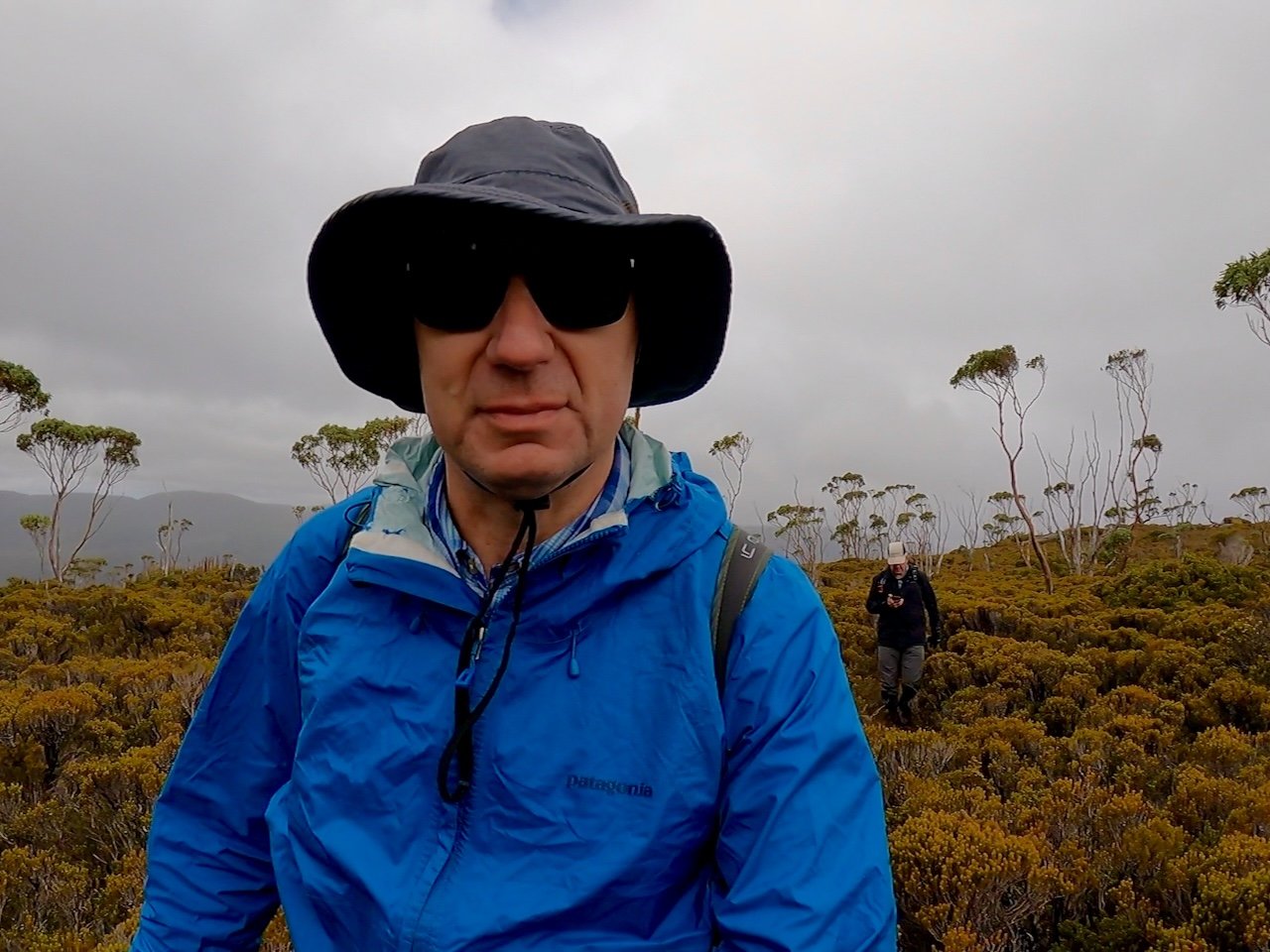
As we departed on the Thursday, the weather was overcast, and we were hopeful of good conditions over the following days after checking the forecast that morning — while noting some afternoons were likely to see strong winds. We boarded the ferry to cross Lake St Clair with high expectations for the trip ahead
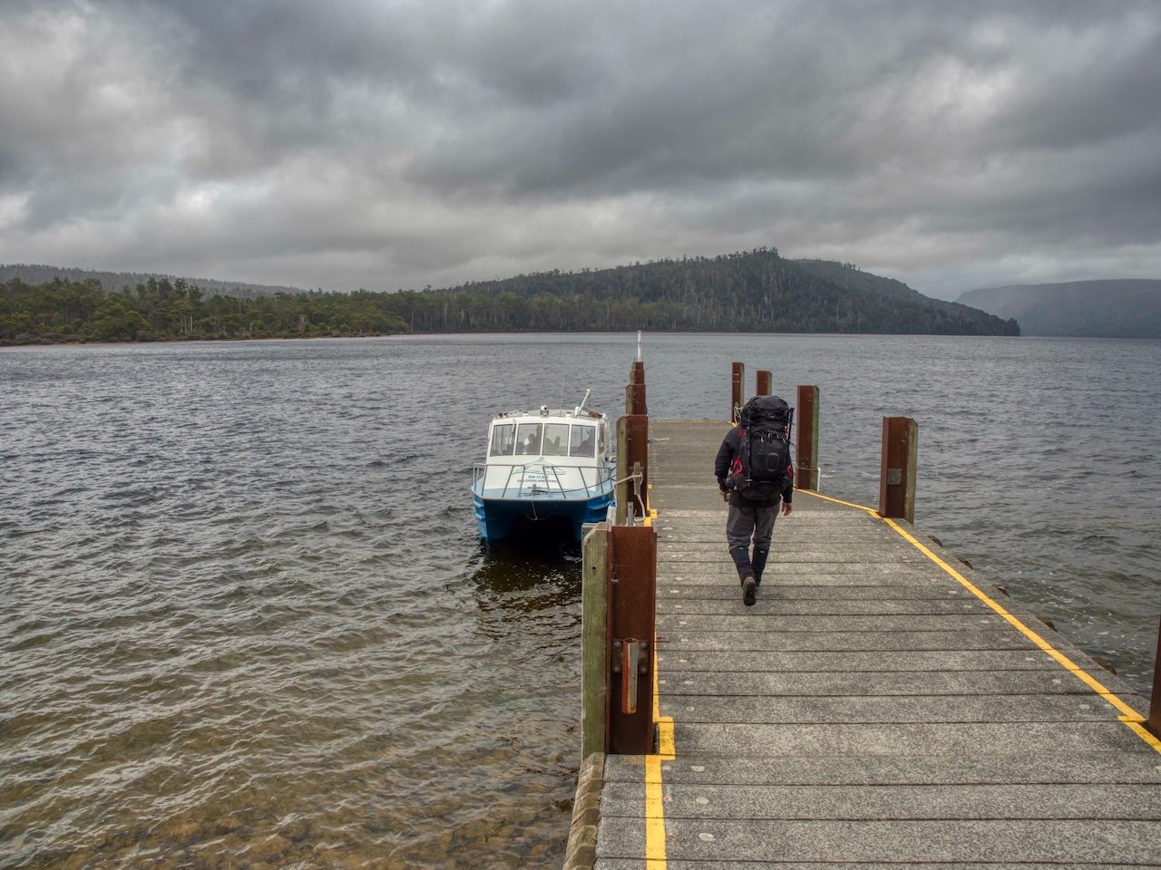
However, on our arrival at Narcissus we chatted to a Parks ranger who told us that the weather ahead wasn’t looking great. Having only checked the weather that morning, we didn’t think that much of her comment, and set off on the initial part of the hike to climb the Gould Plateau.
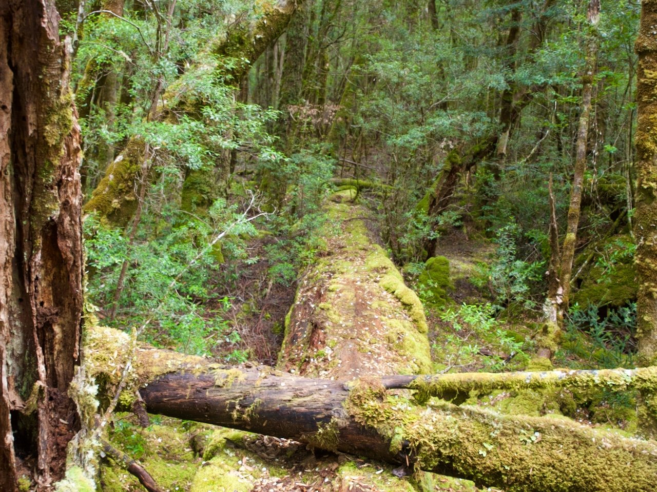
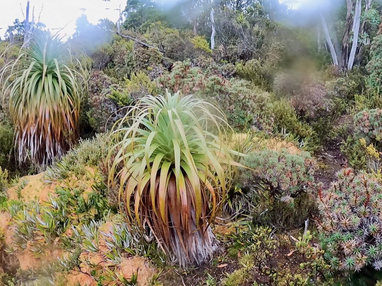
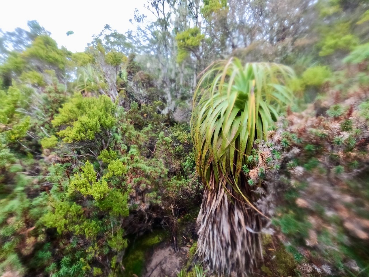
As we left Narcissus Hut, the track was clear, and duck-boarded in many sections, passing through areas of low scrub and button grass.

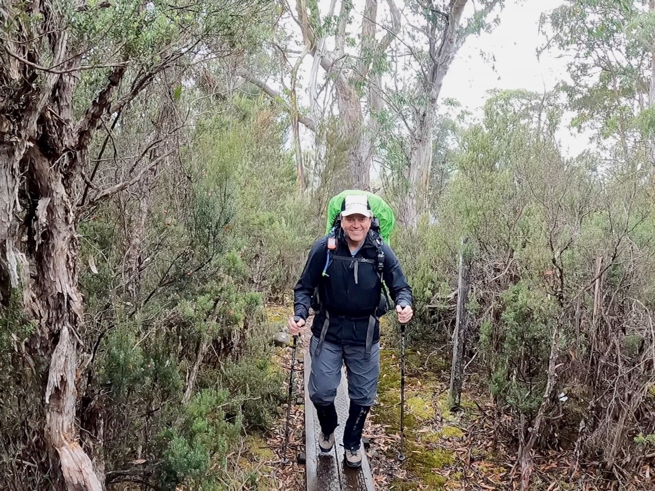
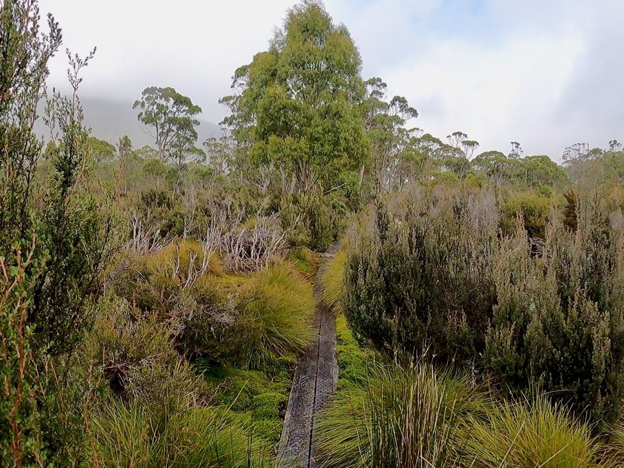
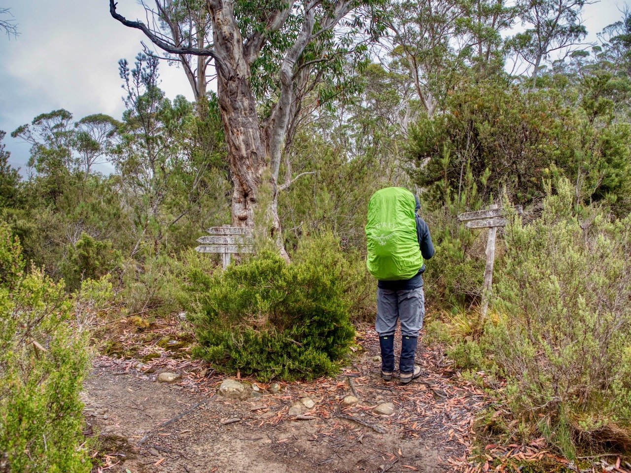
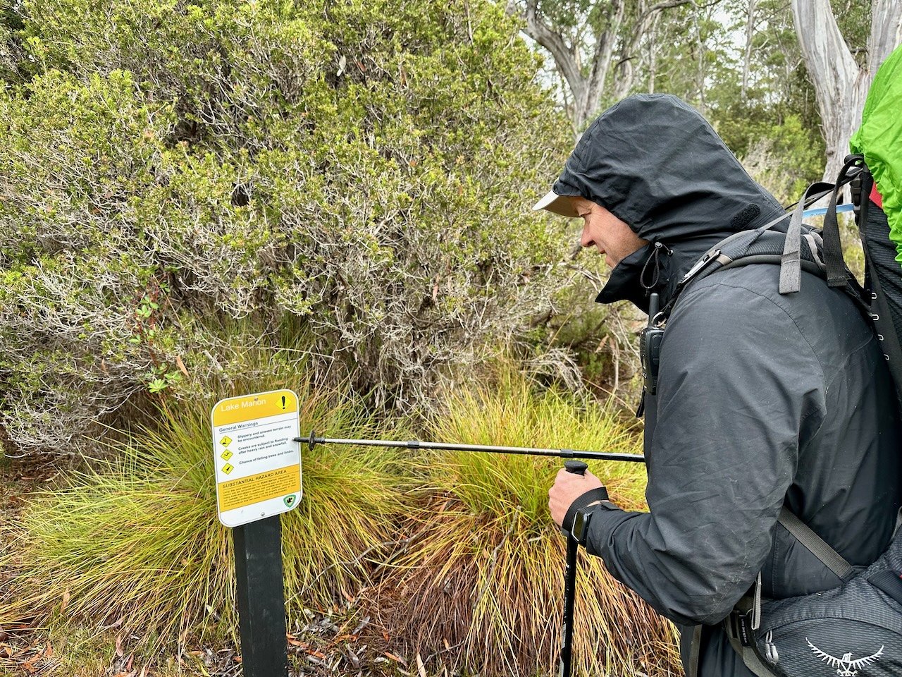
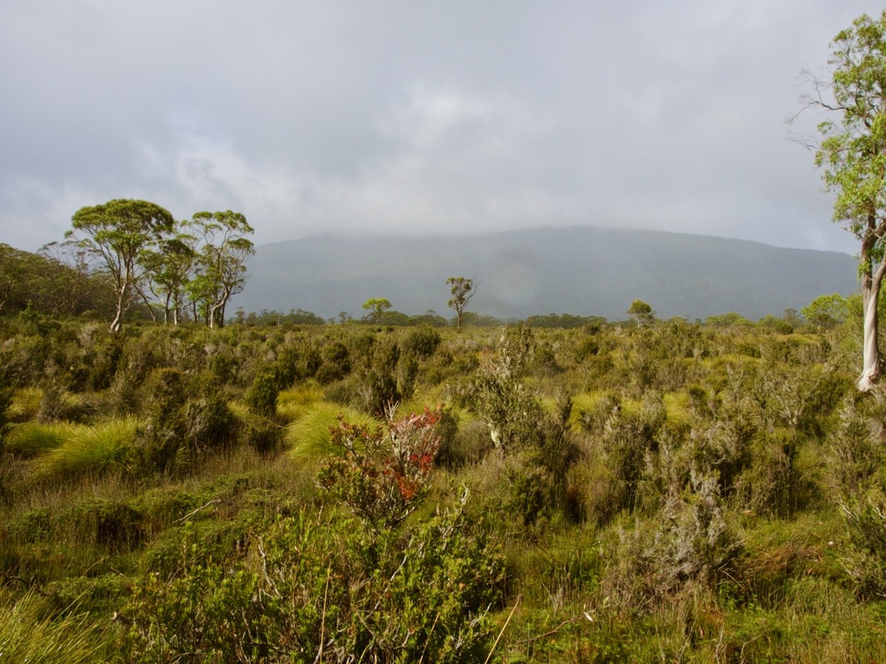

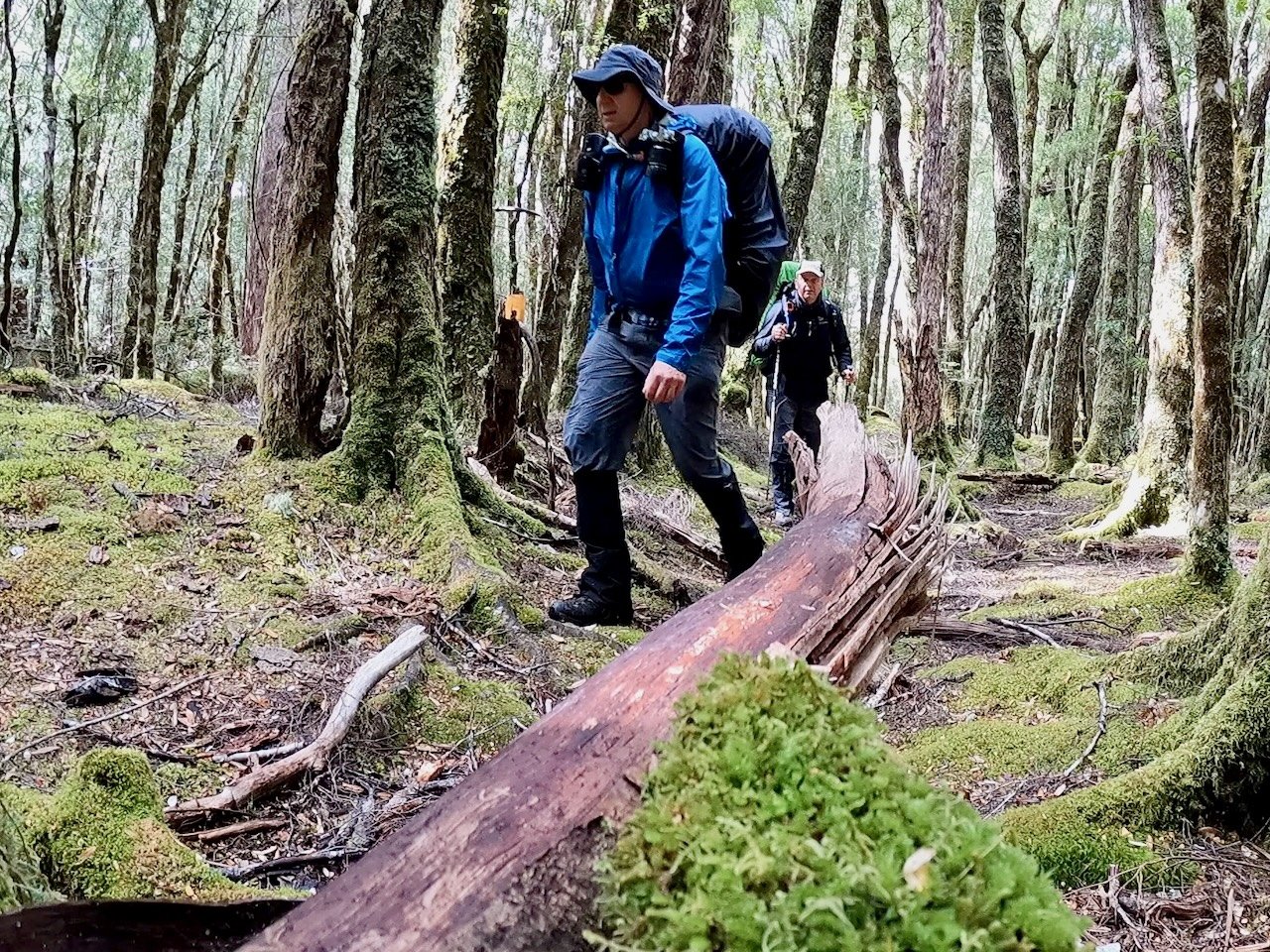
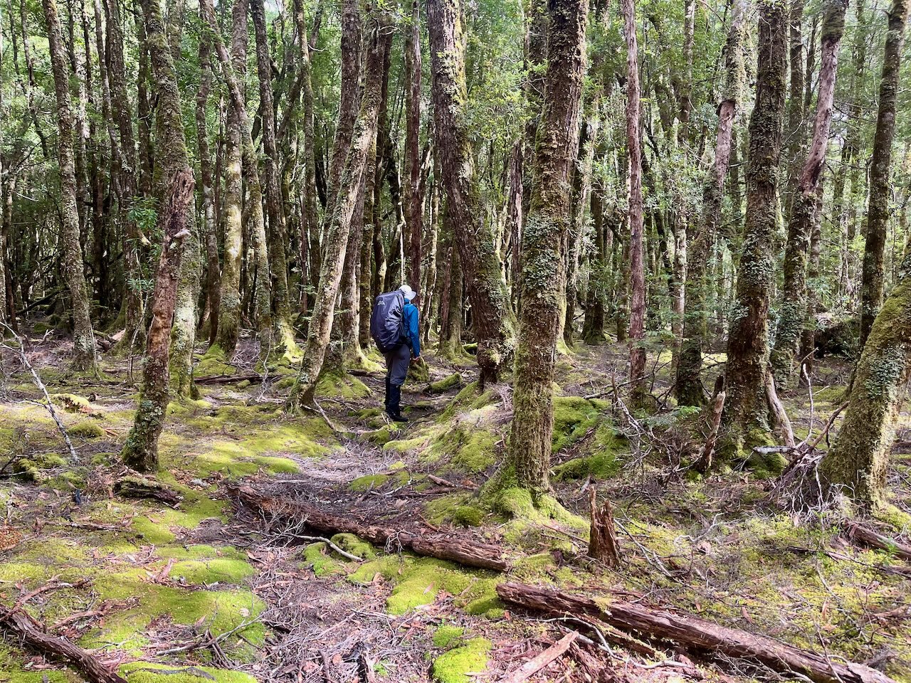
As we approached the junction of the Lake Marion Track and the Gould Plateau Track, the vegetation changed to more open forest.
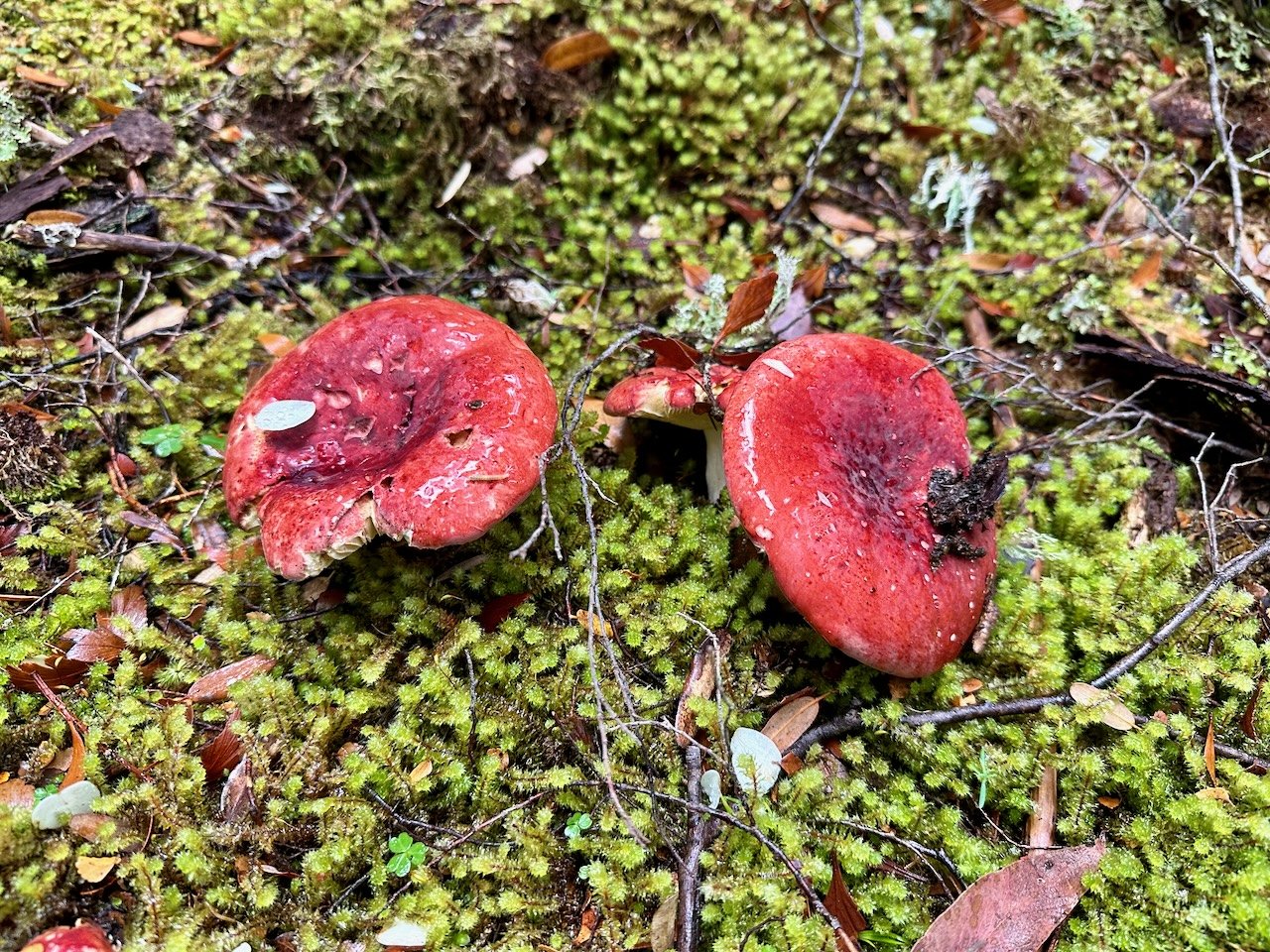
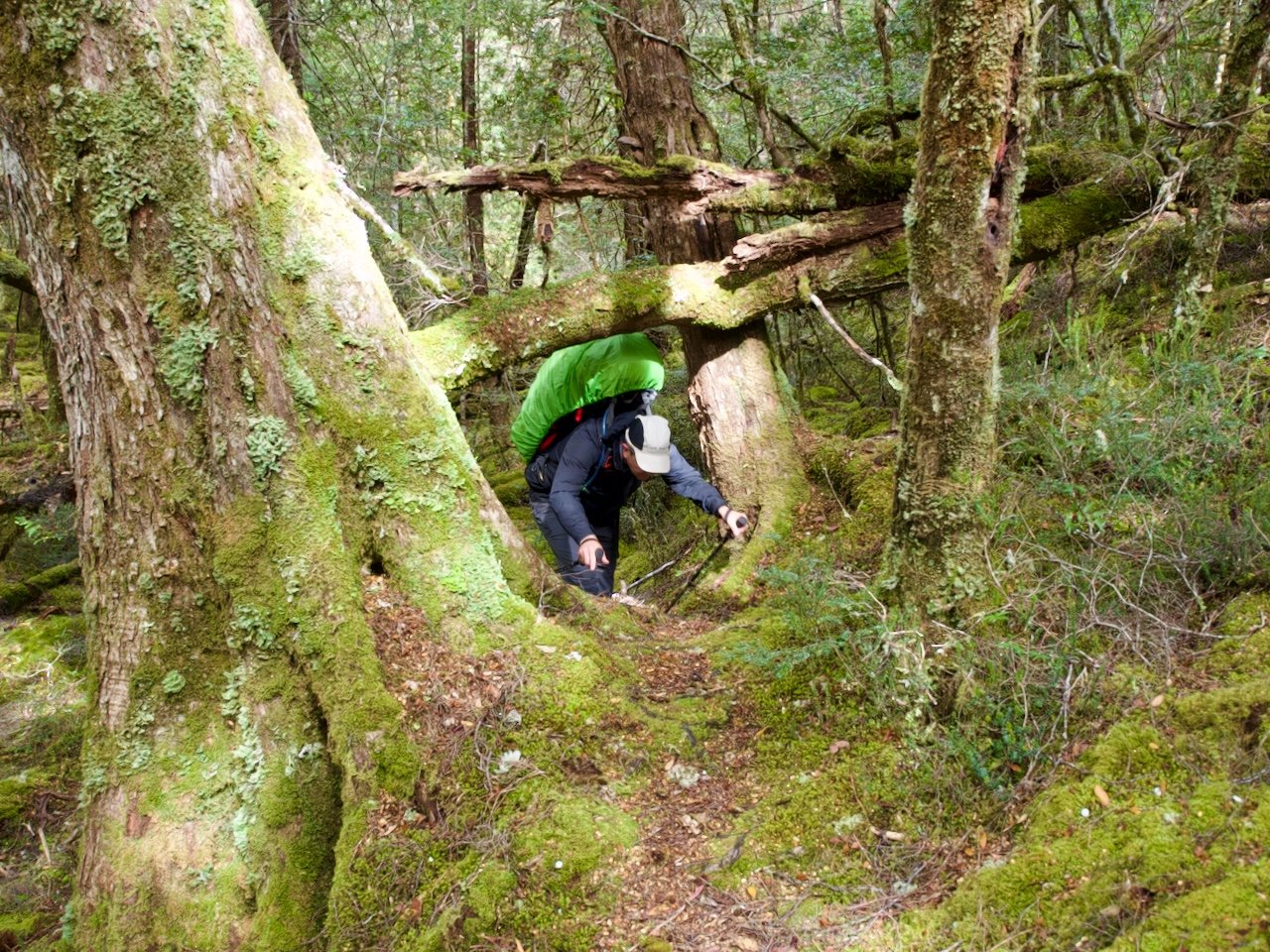
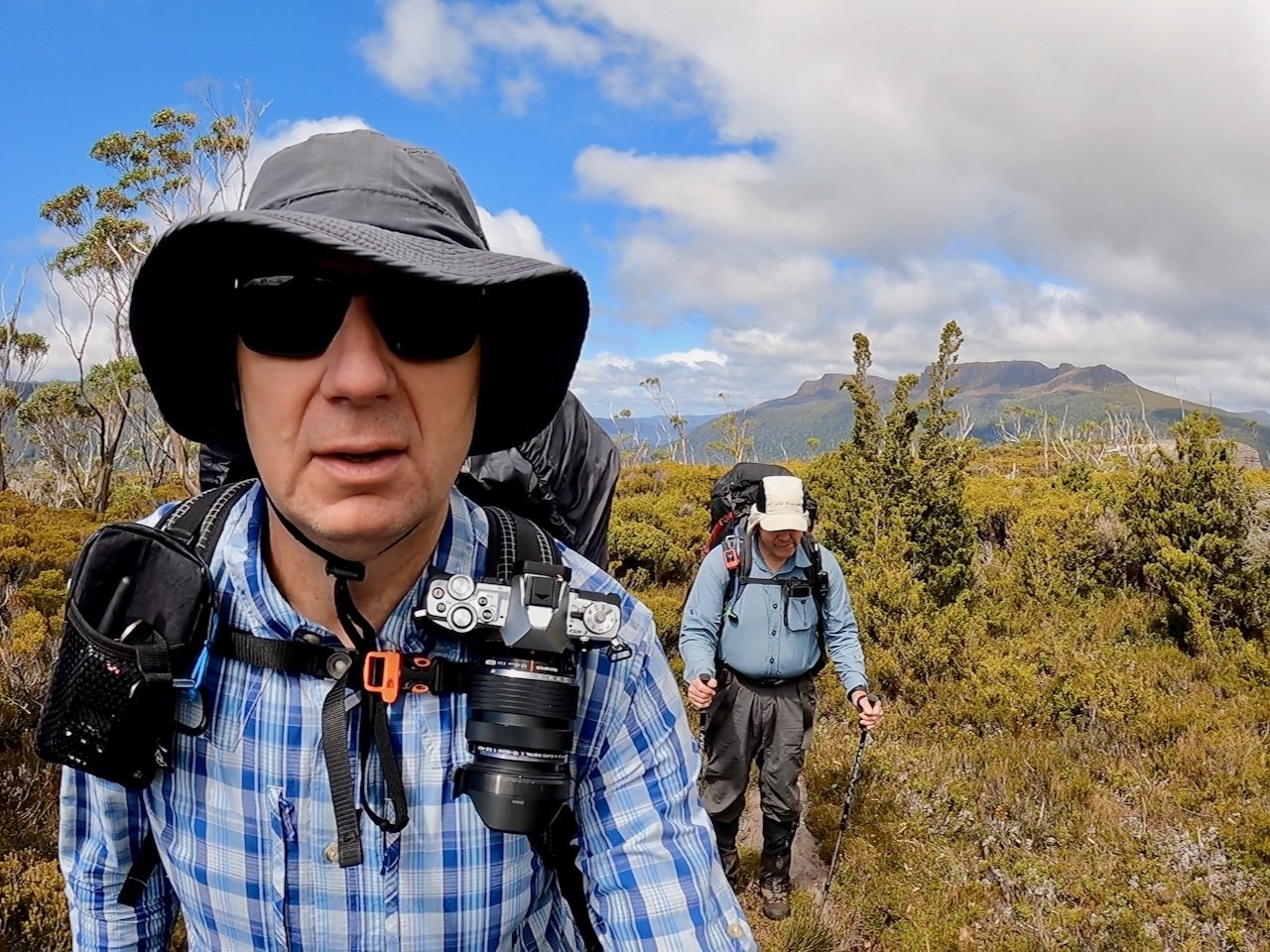
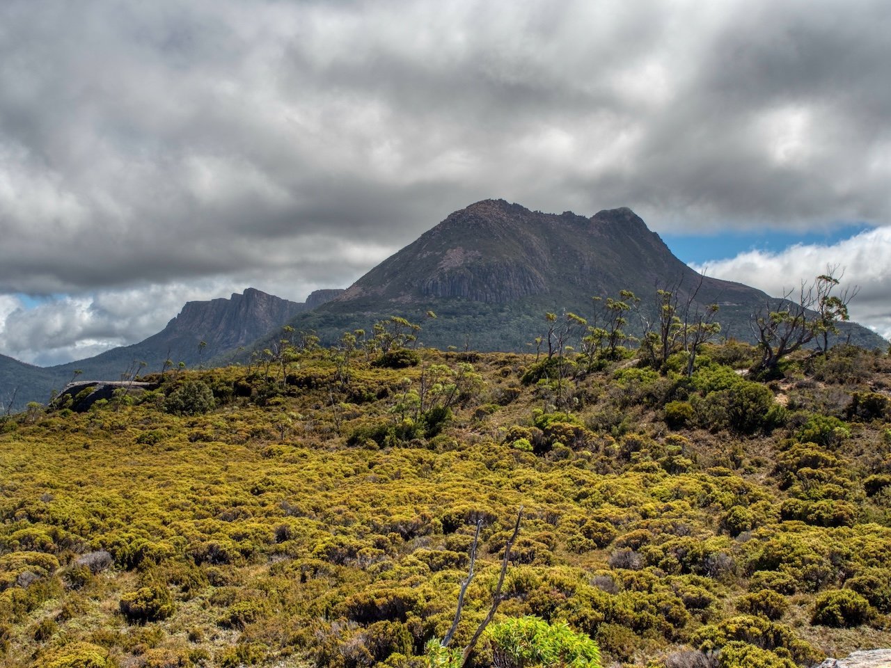
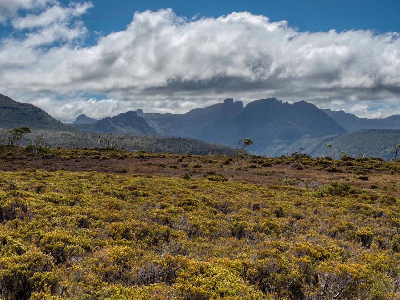
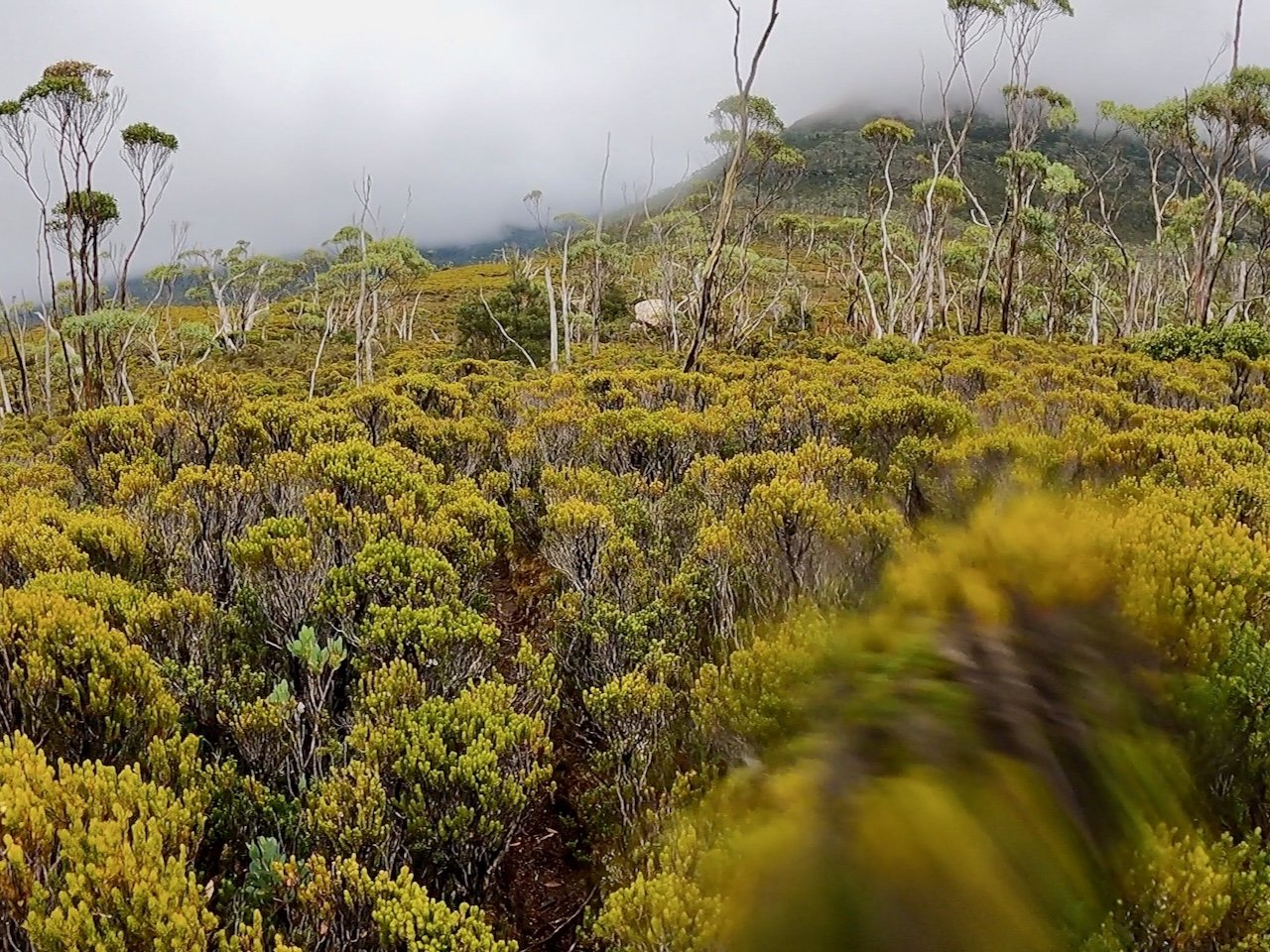
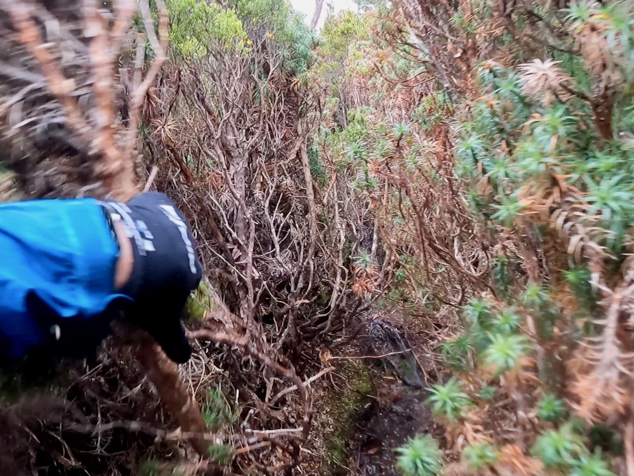
The climb to the plateau became steeper as we progressed, and in the steepest section towards the end, the scrub closed in on us, pulling at our packs and clothes as we made our way up. But soon enough we broke out onto the low scrub of the plateau and were able to take in the amazing views in all directions. This included behind us to Lake St Clair, ahead to Mt Gould, and out to the mountains that surrounded us on either side.
Once we reached the plateau, it was only a very short walk of a few hundred metres to the tarns where we set up camp.

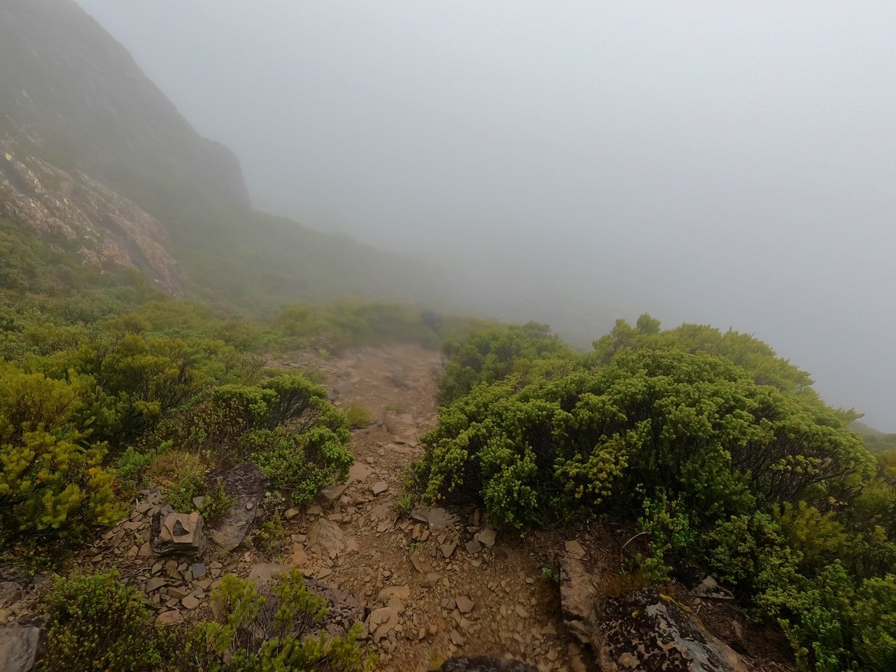
We then continued on with plans to summit Mt Gould that afternoon. The hike from our camp to the base of the climb was around 2km, and although this was initially through low open scrub, it took us about an hour with the scrub again closing in towards the end.

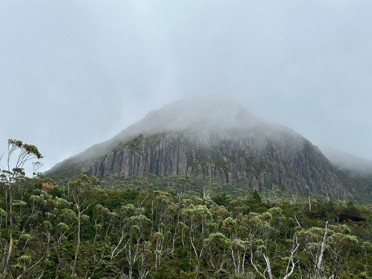
Unfortunately, by the time we had reached the base of the climb, the rain had set in and the peak was enclosed in cloud. As a result, we abandoned our plans to summit the mountain that day, and decided to instead try again in the morning, before continuing on with the traverse of the range.
We made our way back in showery conditions and retreated to our tents when we arrived back at camp. From this point, the weather only got worse, with the wind picking up dramatically. Thankfully our camp was slightly protected behind some higher ground, but the weather update indicated we were in the middle of overnight wind guts of 80km/hr!
The following morning, we packed up camp in overcast and blowy conditions, although thankfully the rain had eased. We then made our way back to the base of the climb, but this time carrying our packs.
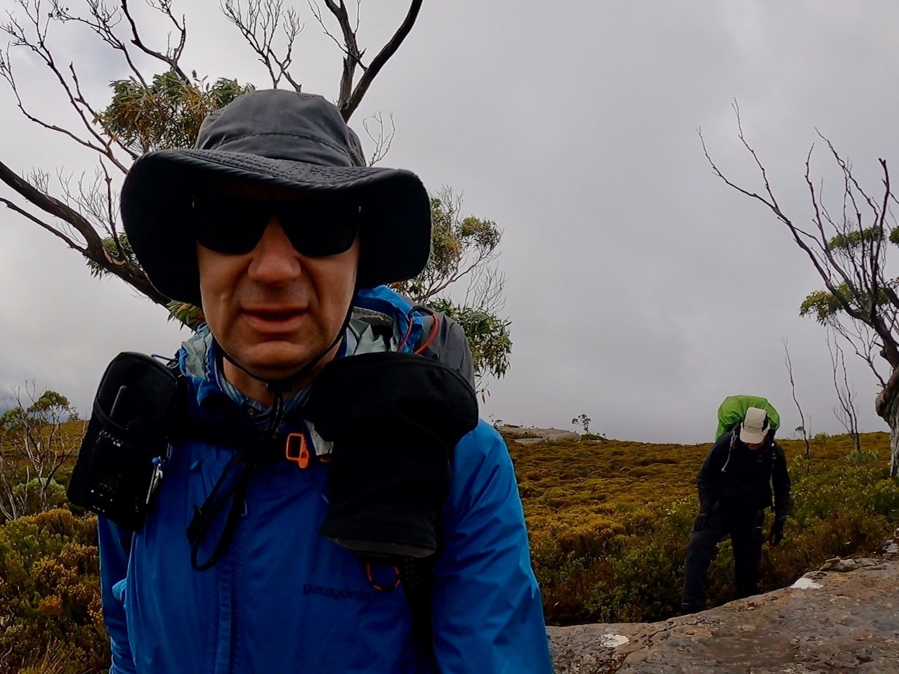
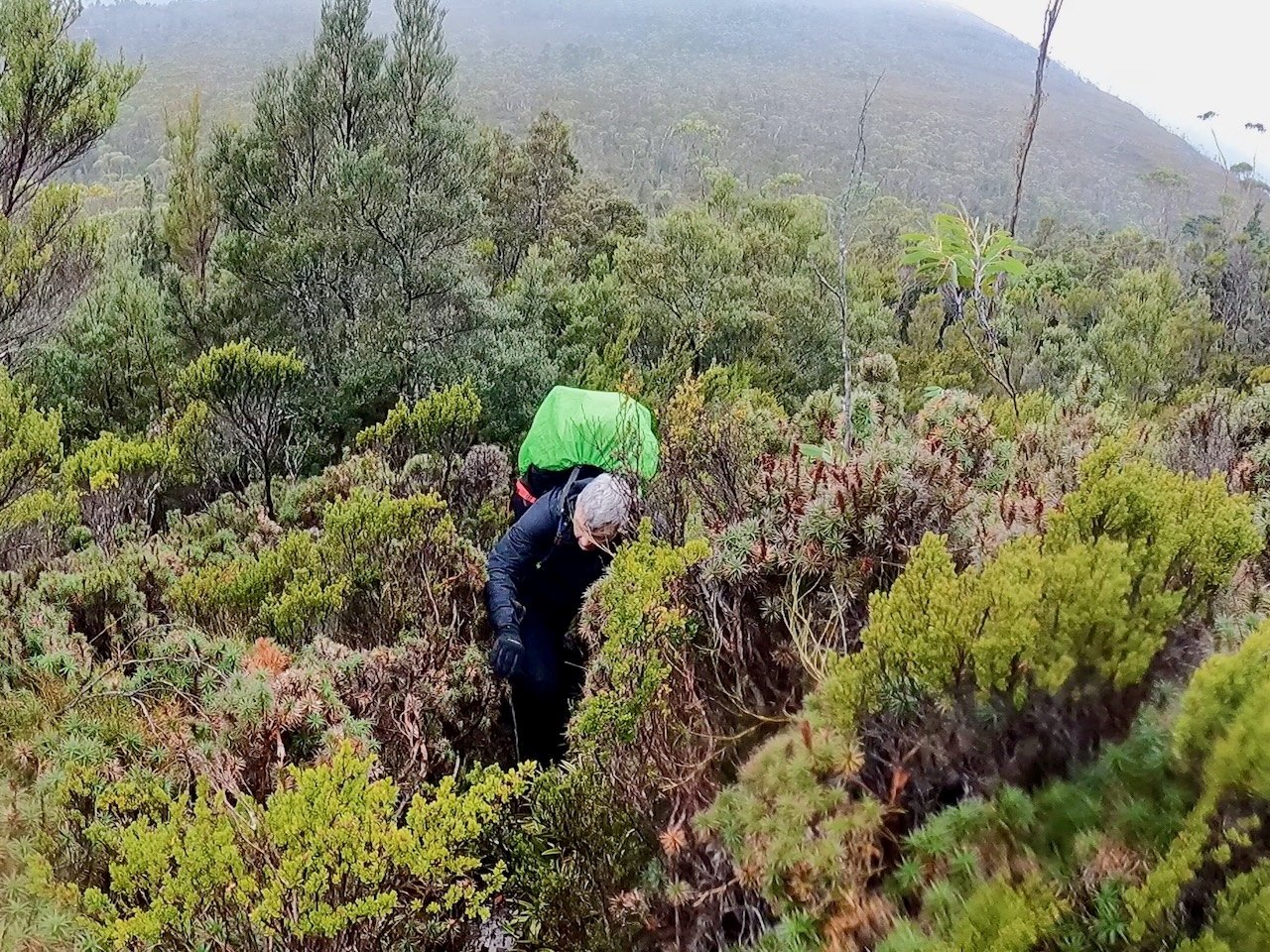
The conditions seemed to deteriorate as we progressed, but we pressed on to the base of the climb, where we dropped our packs. We then set off up the mountain with hopes of summiting and returning in good time so that we could continue the traverse of the range.
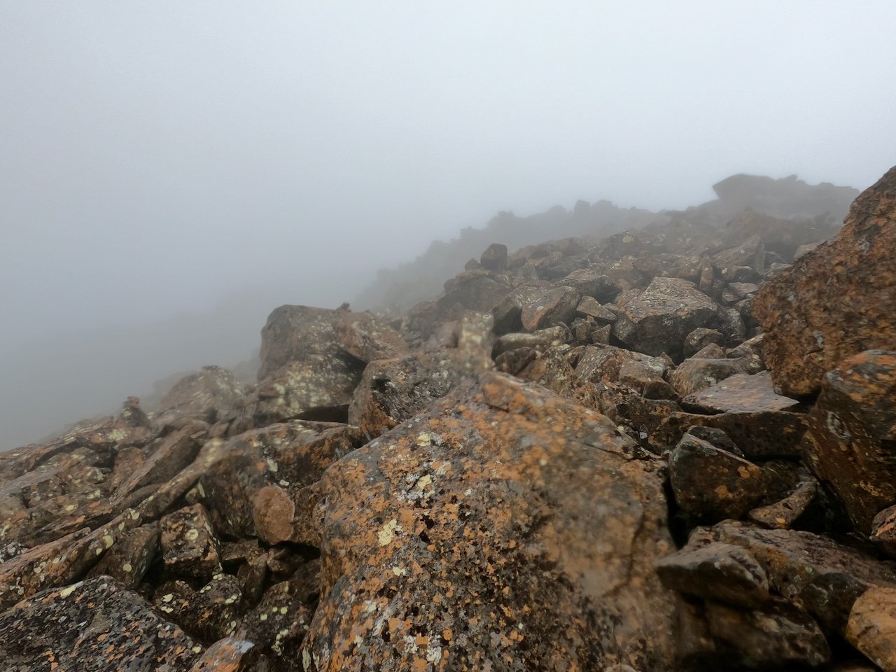
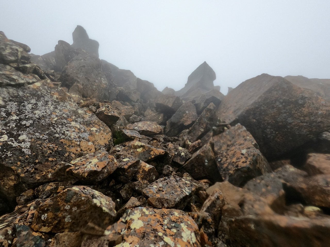
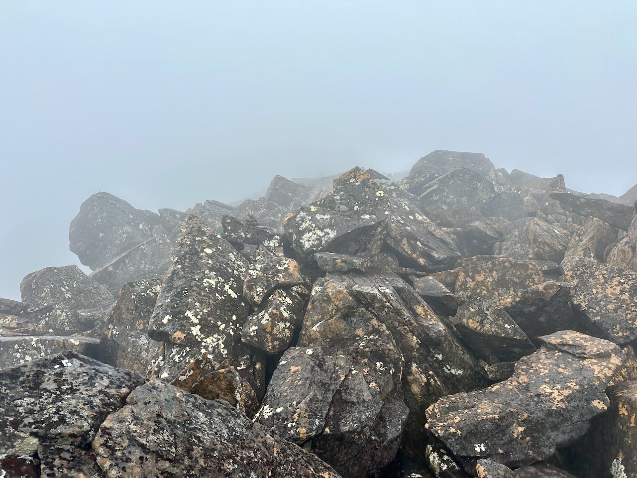
The climb was steep and started with a scrubby, gravelly, track that soon gave way to boulders. We made our way up over these to just before the summit ridge when I decided it was time to pull the pin. The boulders were wet and slippery, visibility was awful, and as we approached the summit ridge, there appeared to be cairns leading in different directions, with some very dodgy climbs. At one point, while pulling myself up on a ledge, the rocks underneath me shifted and I was terrified I was going to come tumbling down the mountain, taking out Col as I went.
After some debate, especially when we were so close to the summit, we made our way back down. On checking the weather forecast, we saw that we were in for more of the same and ultimately made the decision to abandon the traverse. So after donning our packs, we made our way back to our camp site from the night before and set up the tents once again, where overnight we got smashed with the wind again.
The following day, after packing up camp, we made our way back across the plateau and down to Narcissus Hut. Of course, while doing this, the sun came out and the conditions were actually pretty nice!
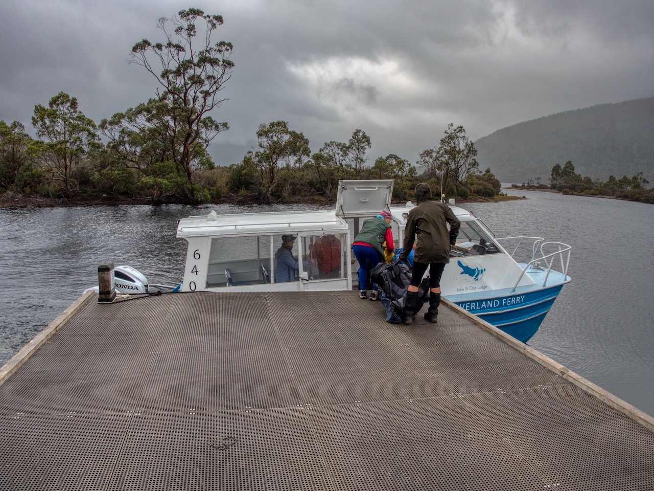
Having started late, we didn’t make it back in time for the ferry, so stayed in the hut overnight. This was a good call, as the weather came in and it was wet and cold. Unfortunately, we couldn’t get onto a ferry until the late afternoon, so spent the day at the hut reading and playing cards. The weather was foul, and reinforced we had made the right decision in abandoning our plans, as disappointed as we were about not completing what we had set out to do.
Ultimately, we made it back to Cynthia Bay, where we secured a room at the lodge. Having cut our trip short, we decided to stay two nights, and thankfully the weather the following day was good enough that we were able to climb Mt Rufus.
Now we just need to work out when we can head back and try again!