
Stepped Hills
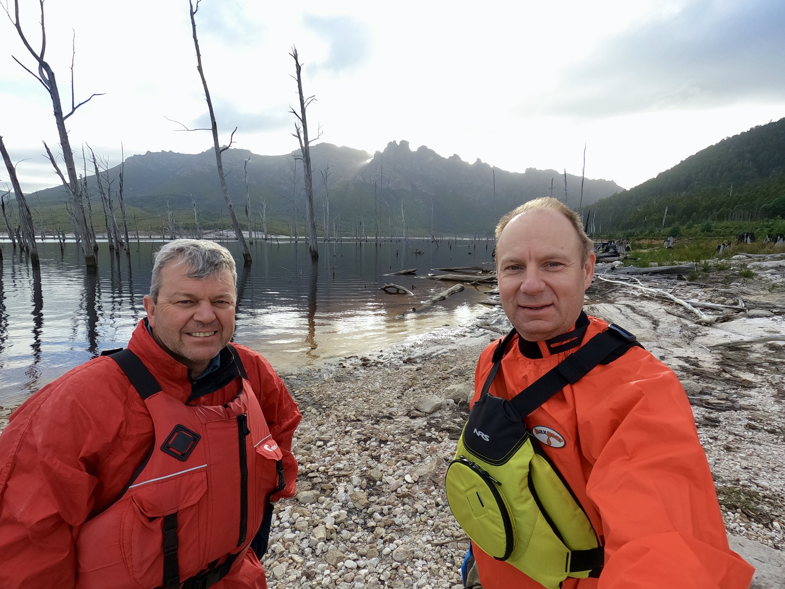
On Wednesday the 13th of March 2024, Col and I set out to climb Stepped Hills near Lake Gordon in the Franklin-Gordon Wild Rivers National Park. The usual approach to this mountain is a multi-day hike from the east via the Rasselas Track that leads to Lake Rhona. After crossing the Gordon River, above Lake Gordon, this route is an untracked path to the west that incorporates Mt Wright. However, our plan was to kayak across Lake Gordon and approach the mountain from the shore of the lake (to the south) to do the hike as a day trip.
The Stats
Distance: 7km (return)
Time: 7½ hrs (inc. breaks)
Elevation gain: 833m
Video
Location
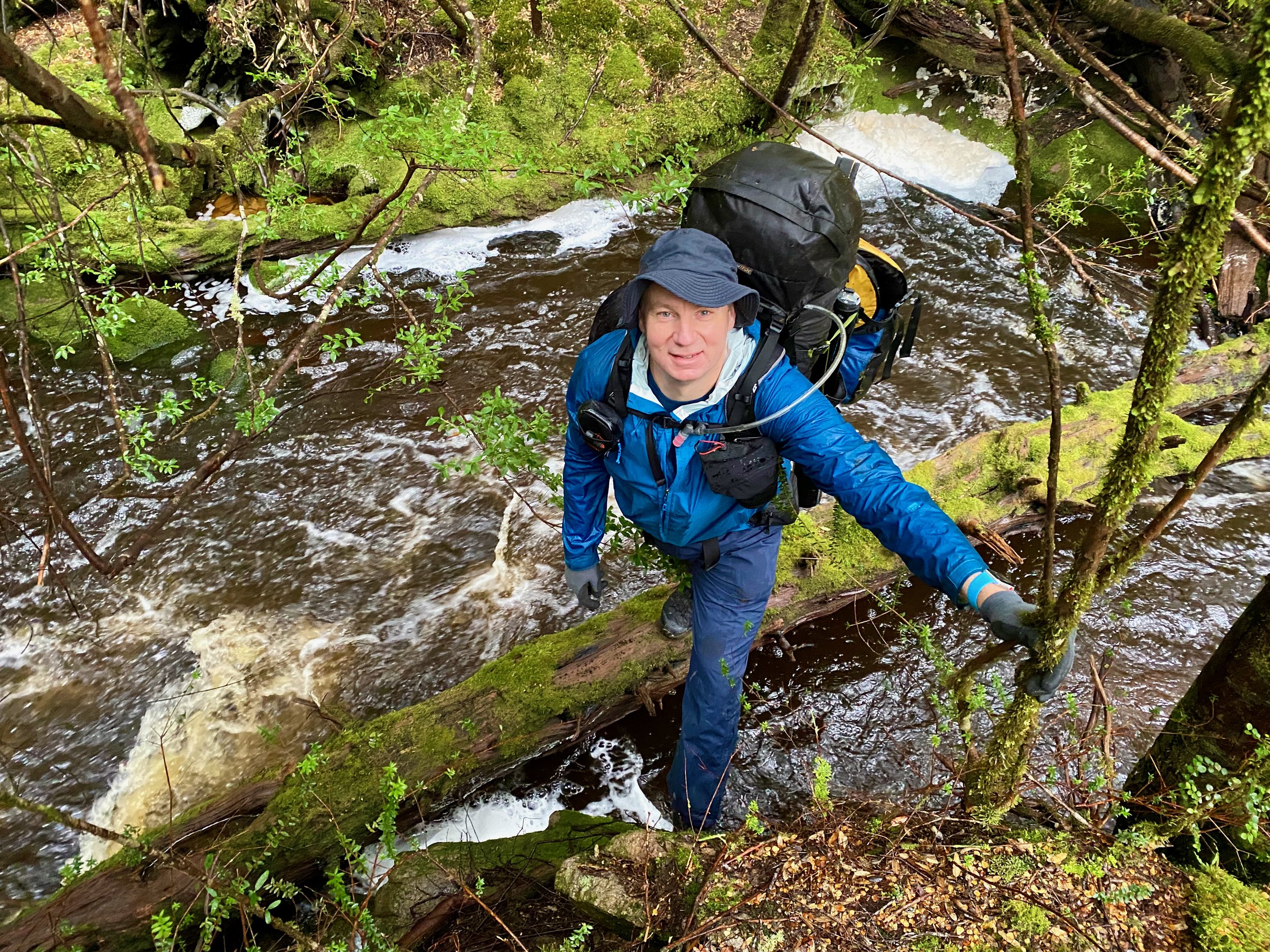
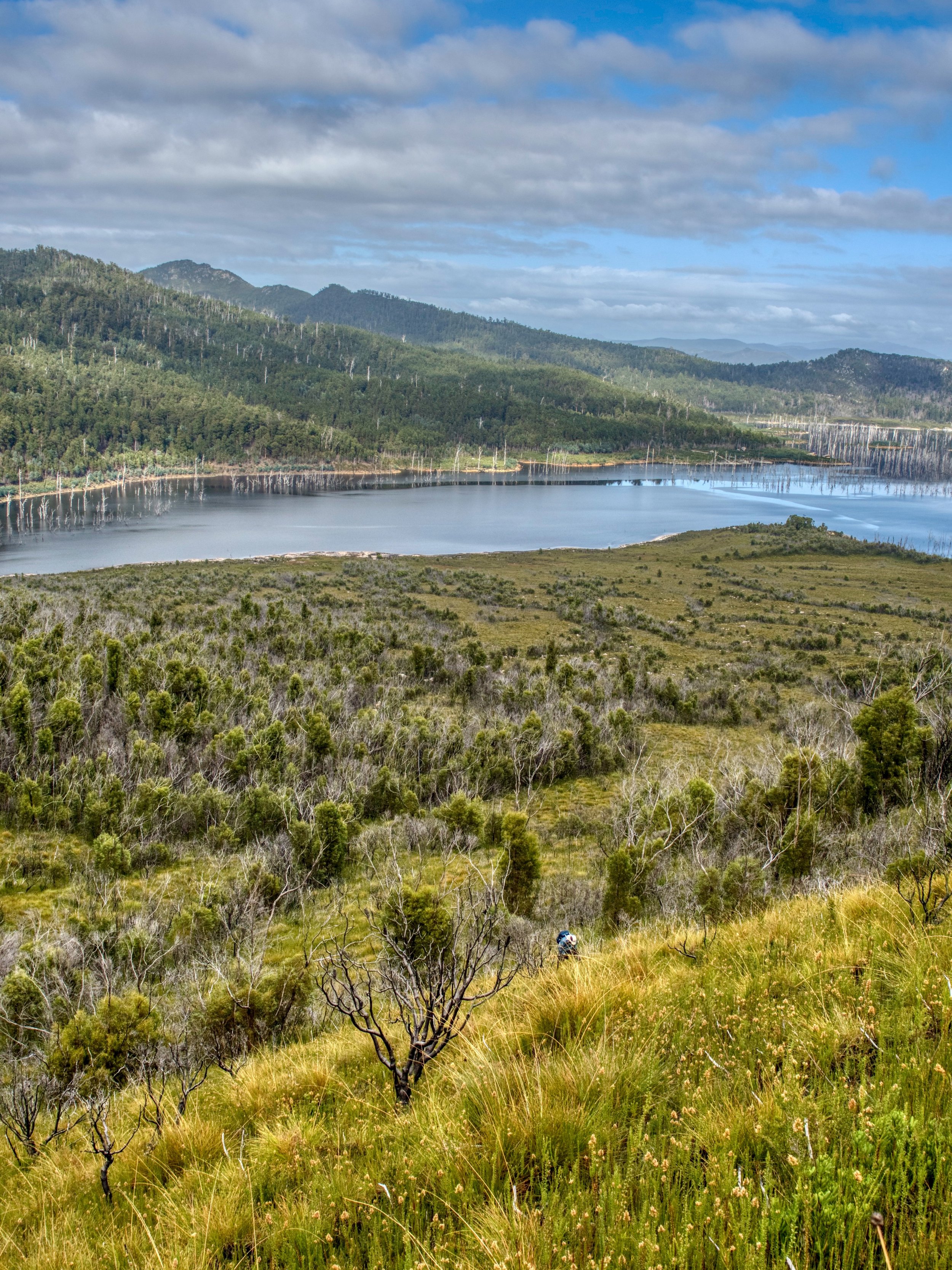
Our base camp for the hike was on the southern shore of Boyes Basin on Lake Gordon. This was about a three hour drive from Hobart, which included 30km of dirt road towing a trailer, which was slow going and probably half the trip in drive time. From Hobart we took Gordon River Road towards Strathgordon and turned off onto Clear Hill Road (a forestry road), about 34km out from Maydena. Towards the end of Clear Hill Road, we turned off onto Eastern Spur and made our way down to the lake shore, where we set up camp on the opposite side of Boyes Basin to our objective.

The Route
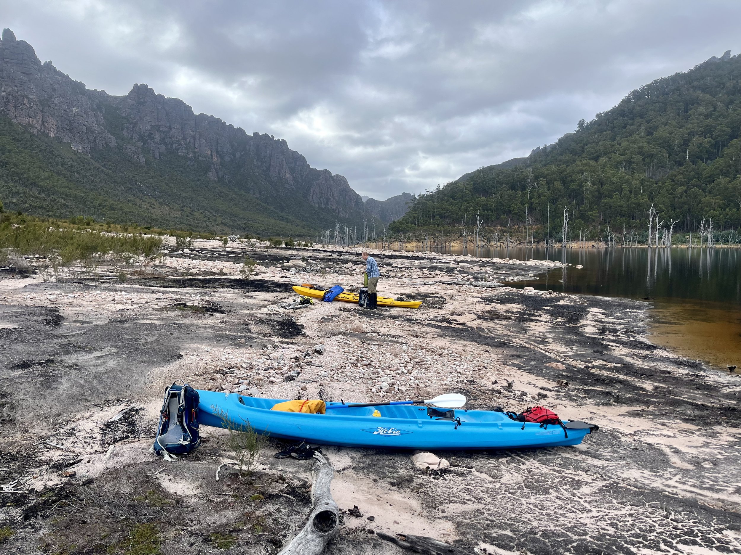
The following morning we used the kayaks to paddle across Boyes Basin from our camp site to the base of Stepped hills.
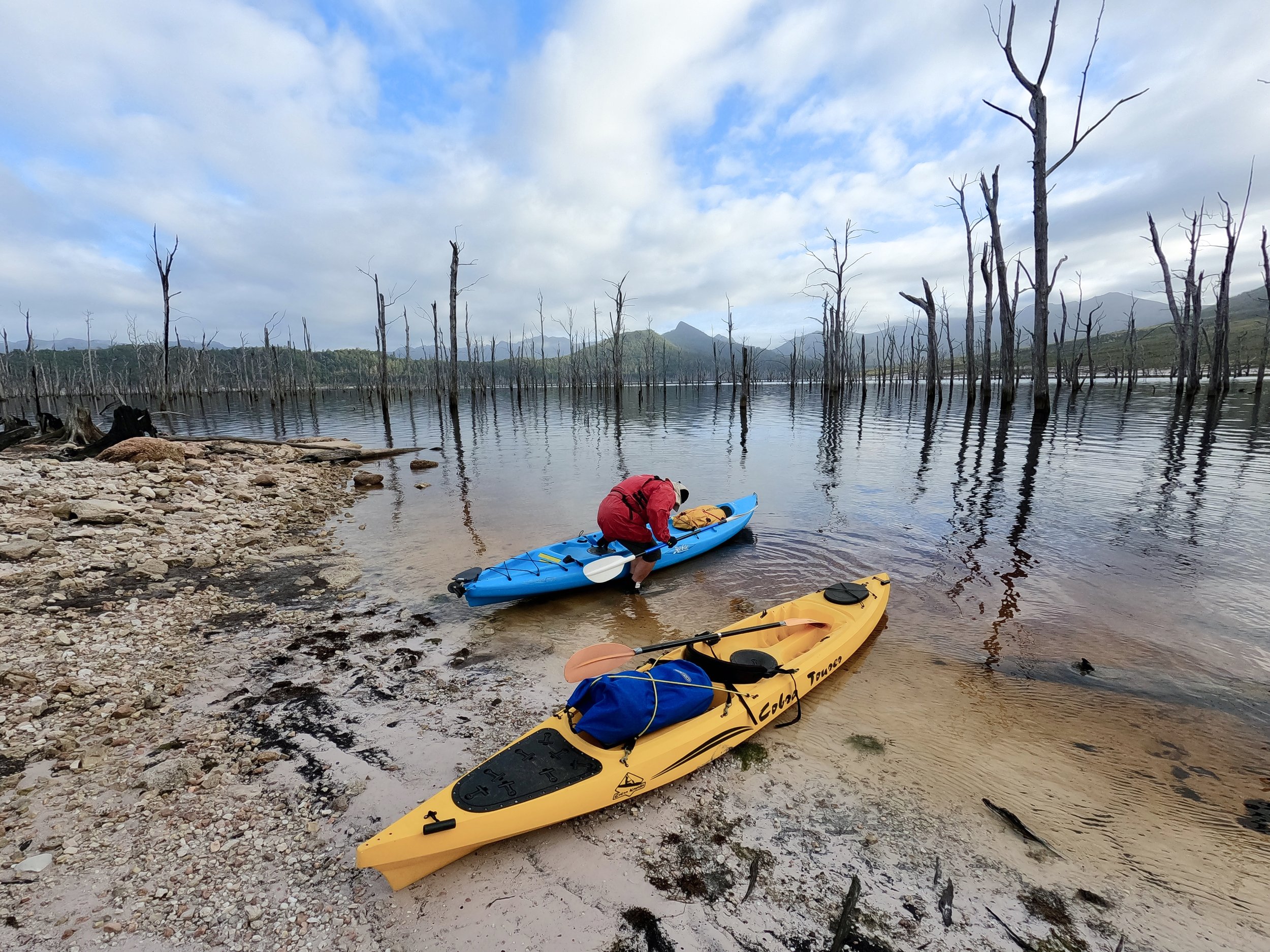
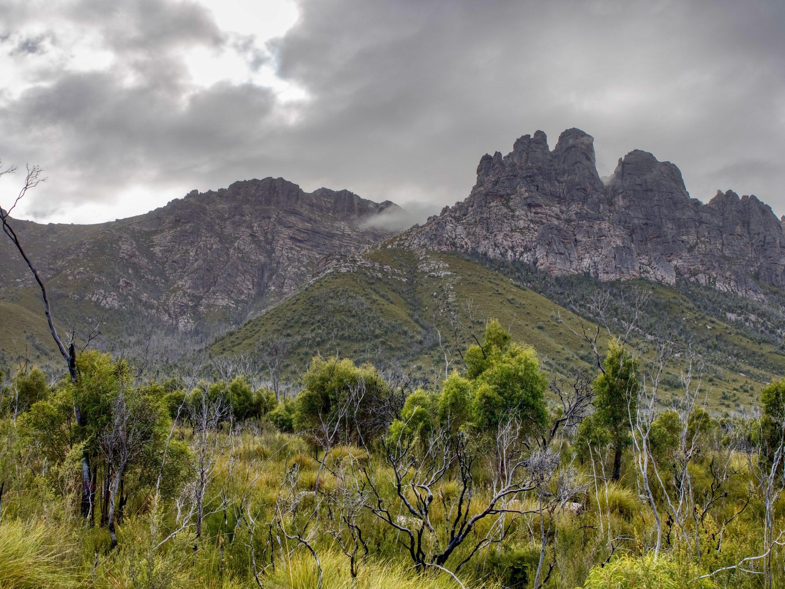
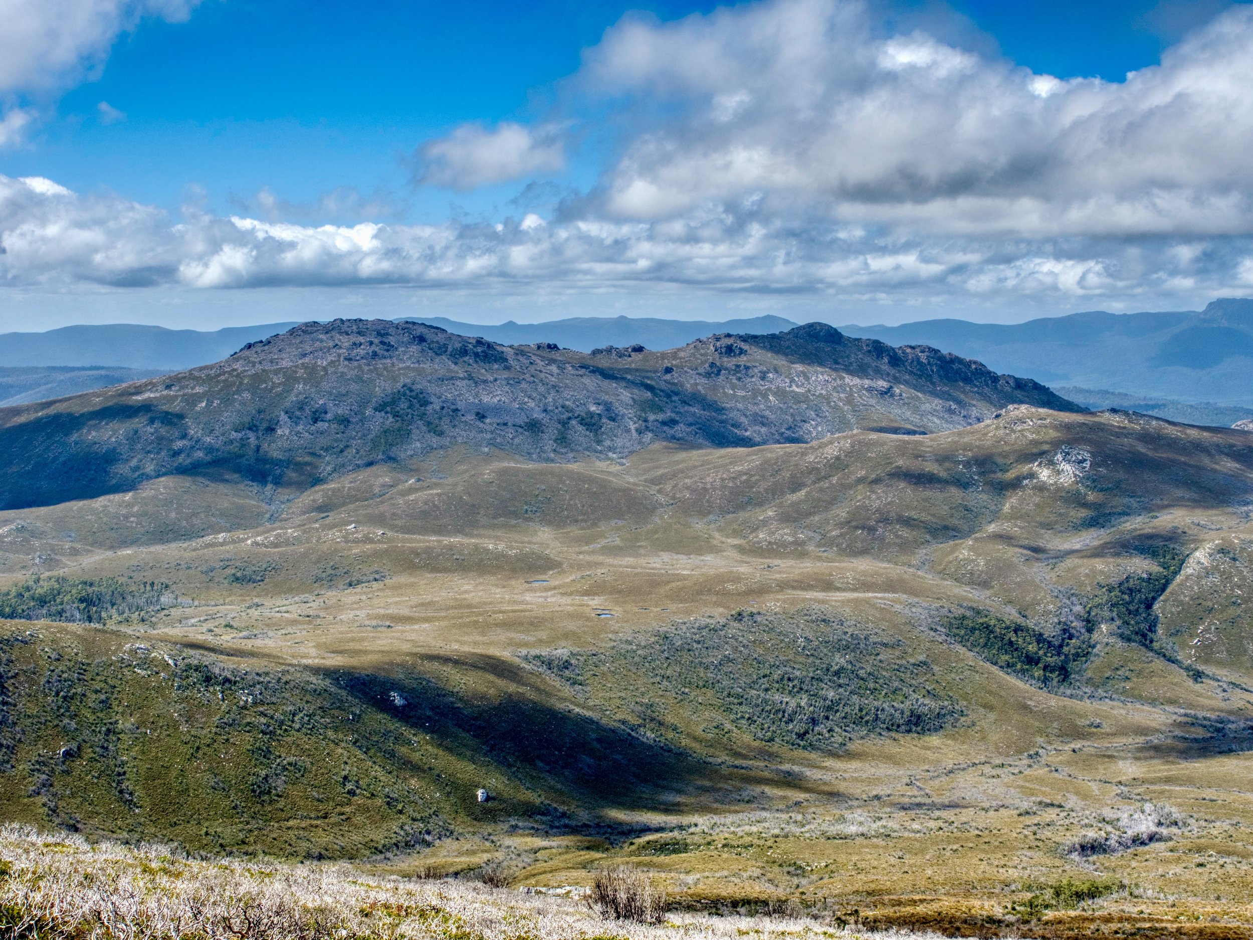
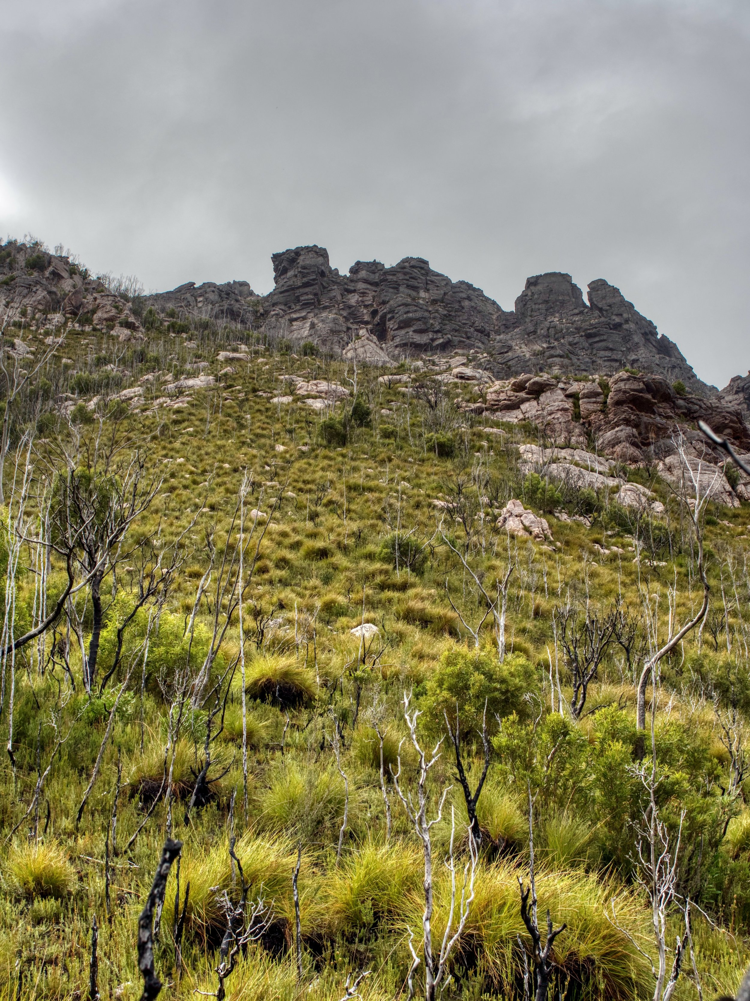
The route up the mountain is completely untracked, with no markers of any kind. The Abels shows a route up the eastern most ridge line (to the right in the image below), but I had seen an approach by some other walkers who had climbed the summit along the ridge line one over to the west of this, and this is the route we took.
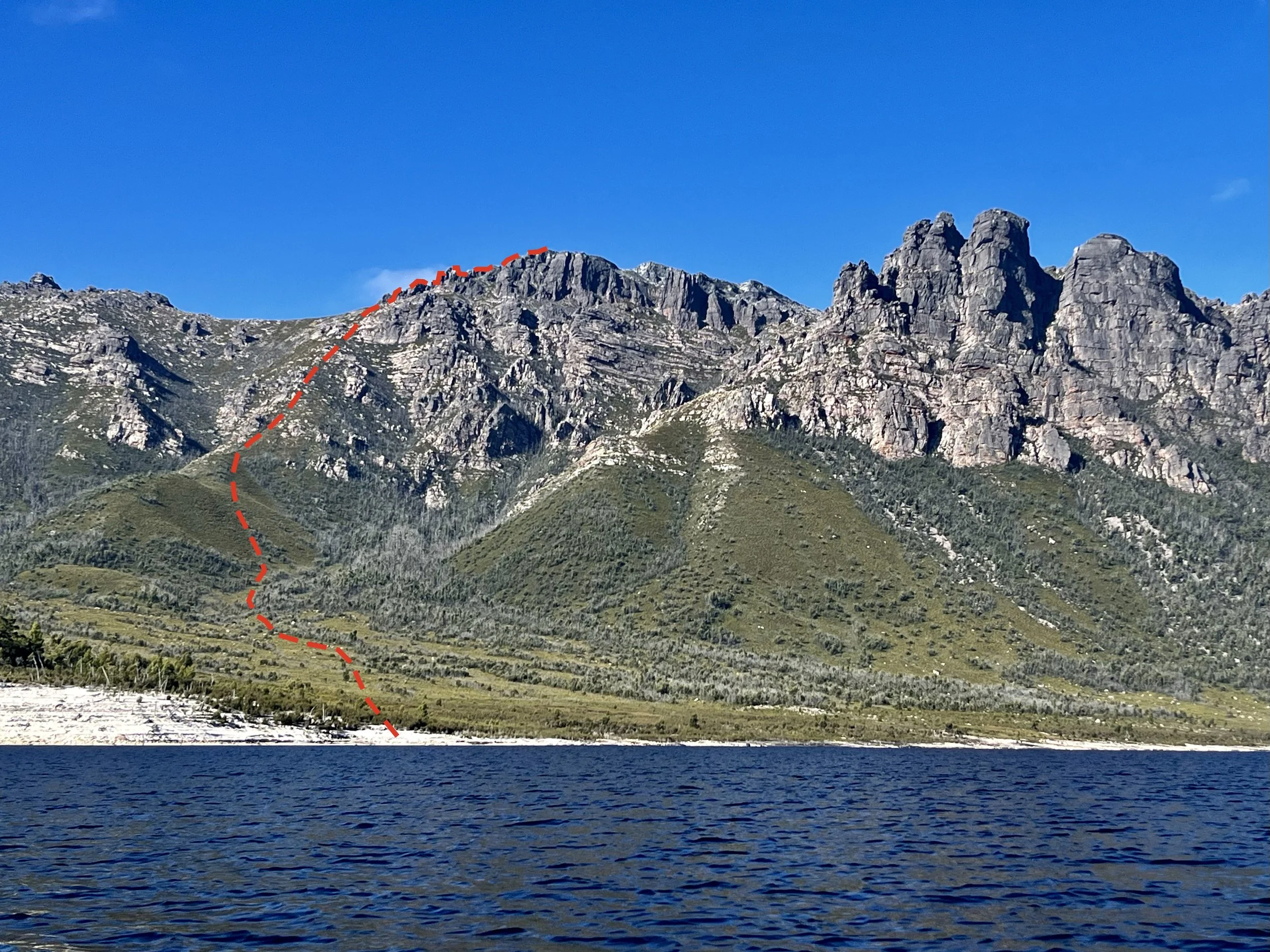
Approaching the mountain from the lake we could see our route up and noted that there appeared to be clear access routes of low grass to the ridge line. Unfortunately, once on the ground below the mountain we lost perspective on where these clear lines were an ended up having a bit of a bush bash to make our way through (although thankfully on the way down we were able to see clearer routes from our higher perspective).
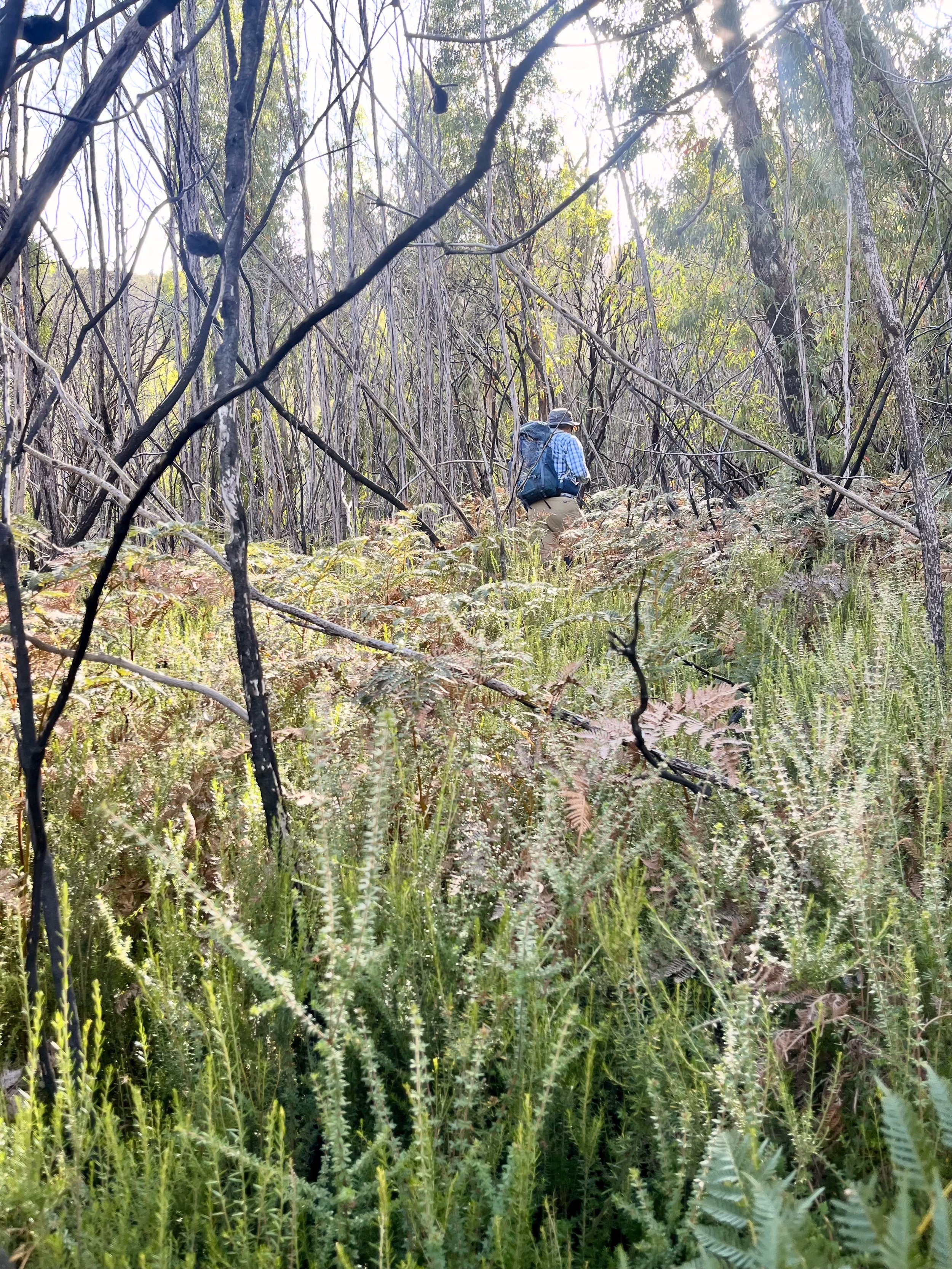
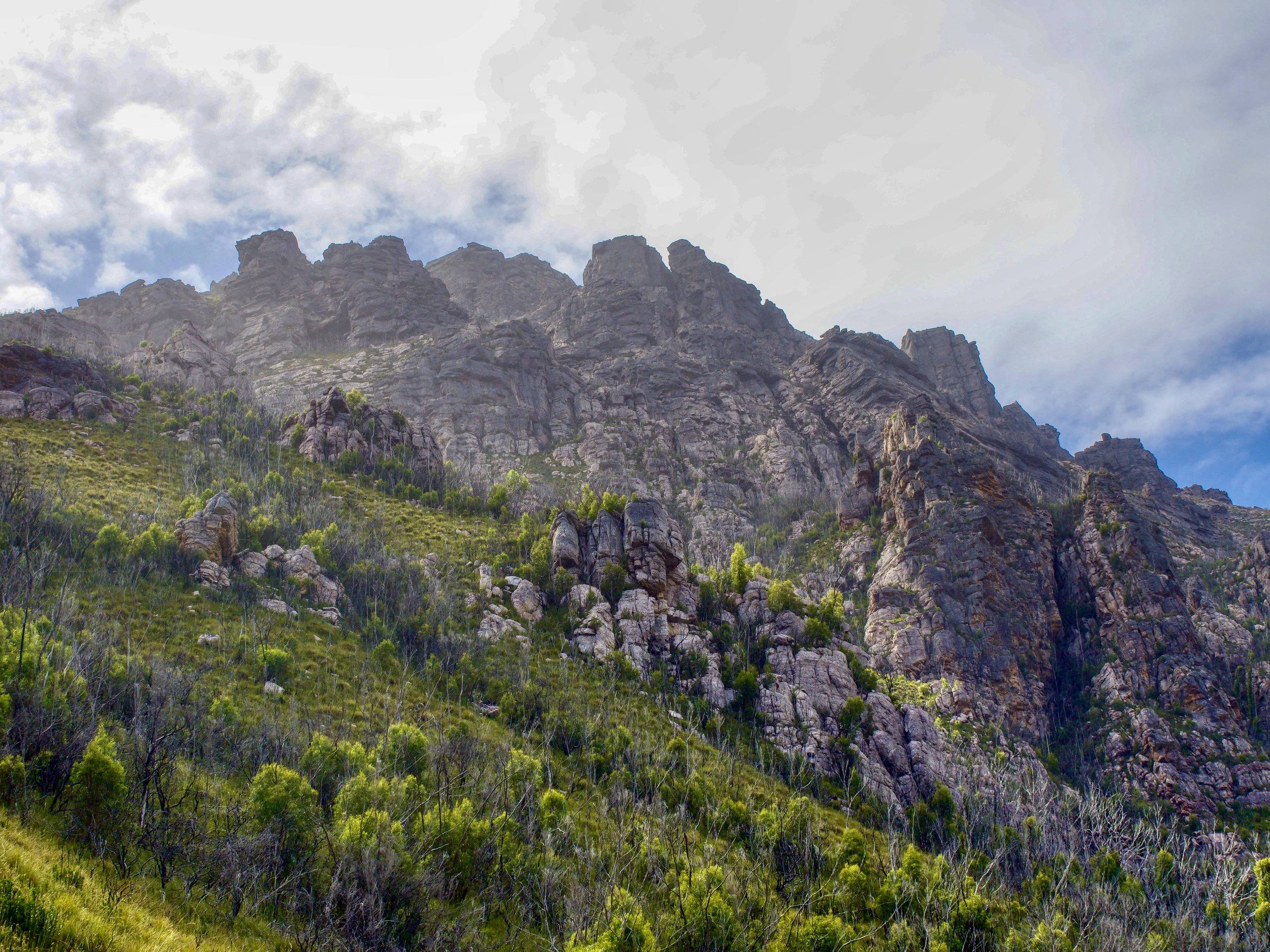
Once through the scrub, the route was straightforward — straight up the ridge line. This was steep and seemed like an unending slog, but did not contain any technical sections, although there were a couple of short sections of scrub to push through.
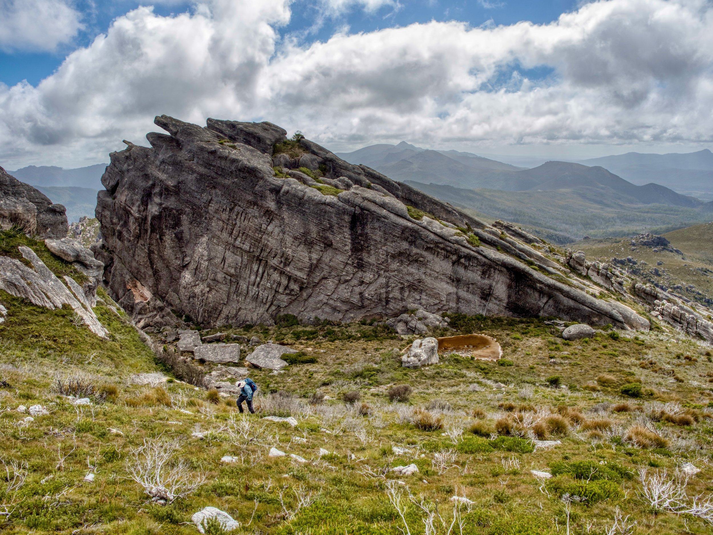
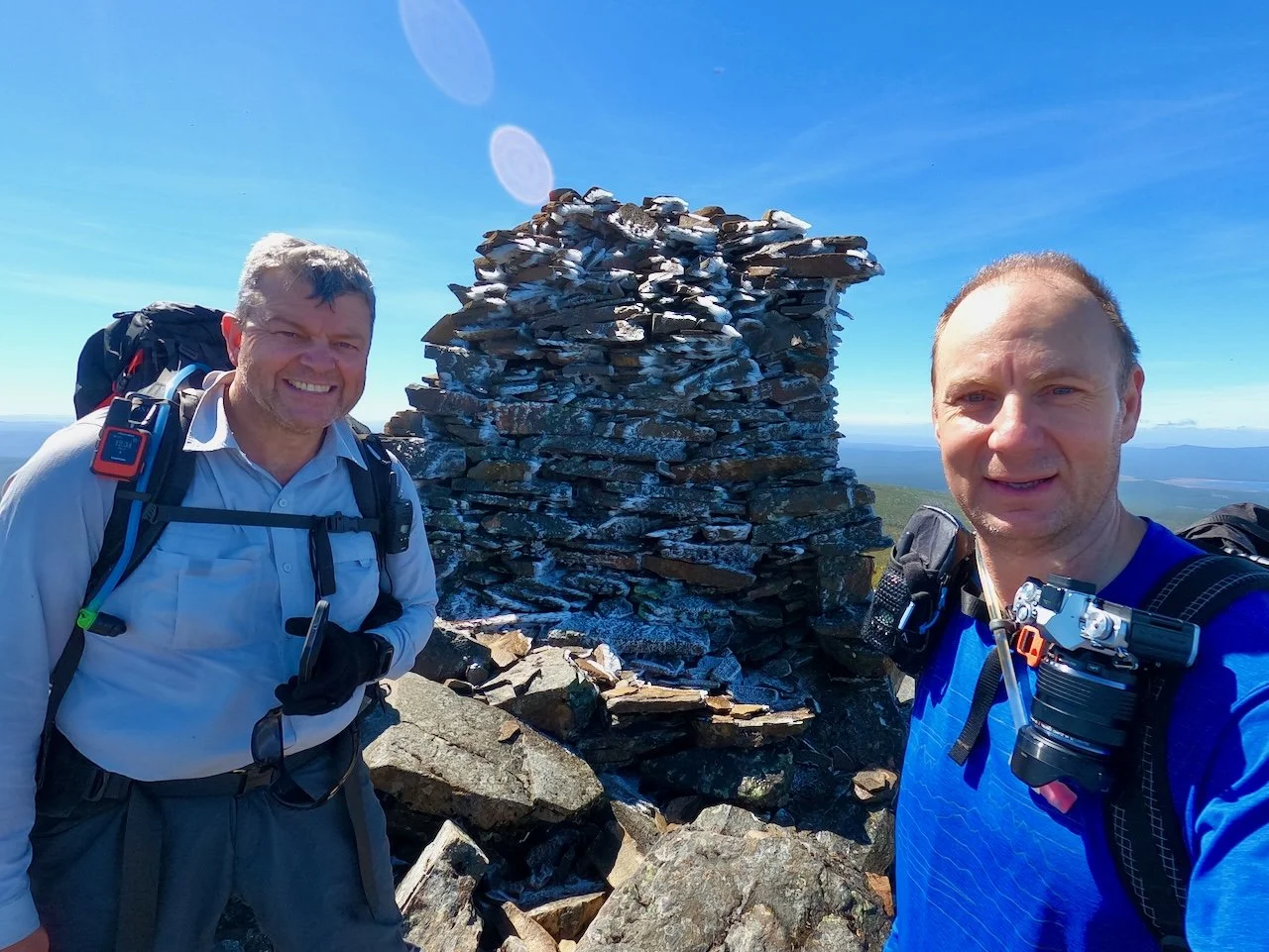
About three hours after setting off from the shore below the mountain we made it to the summit.
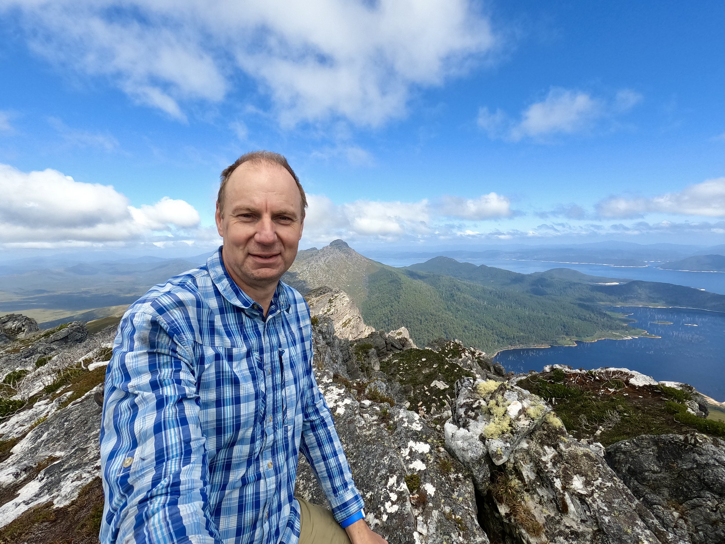
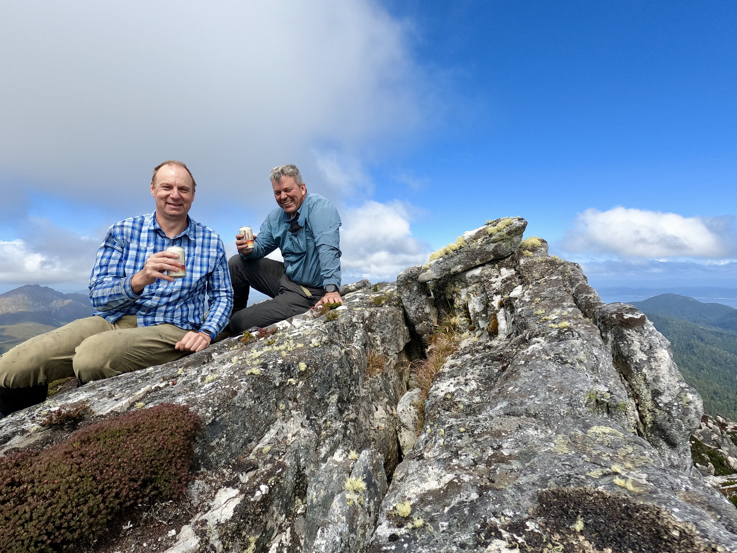
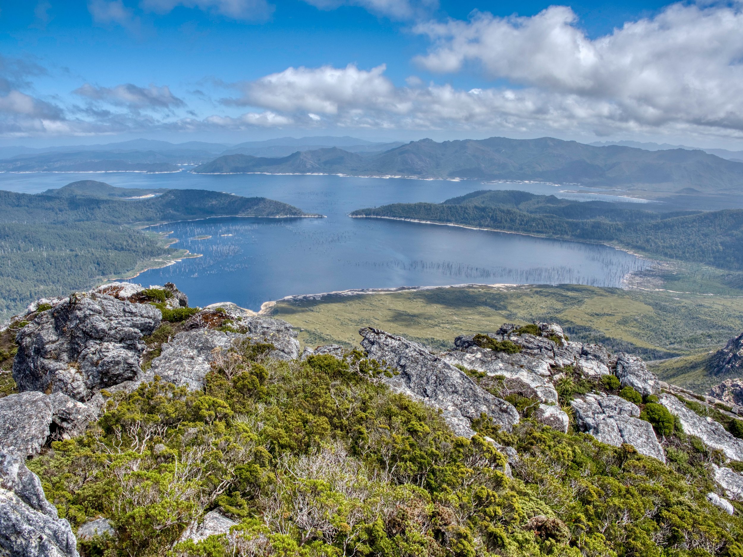
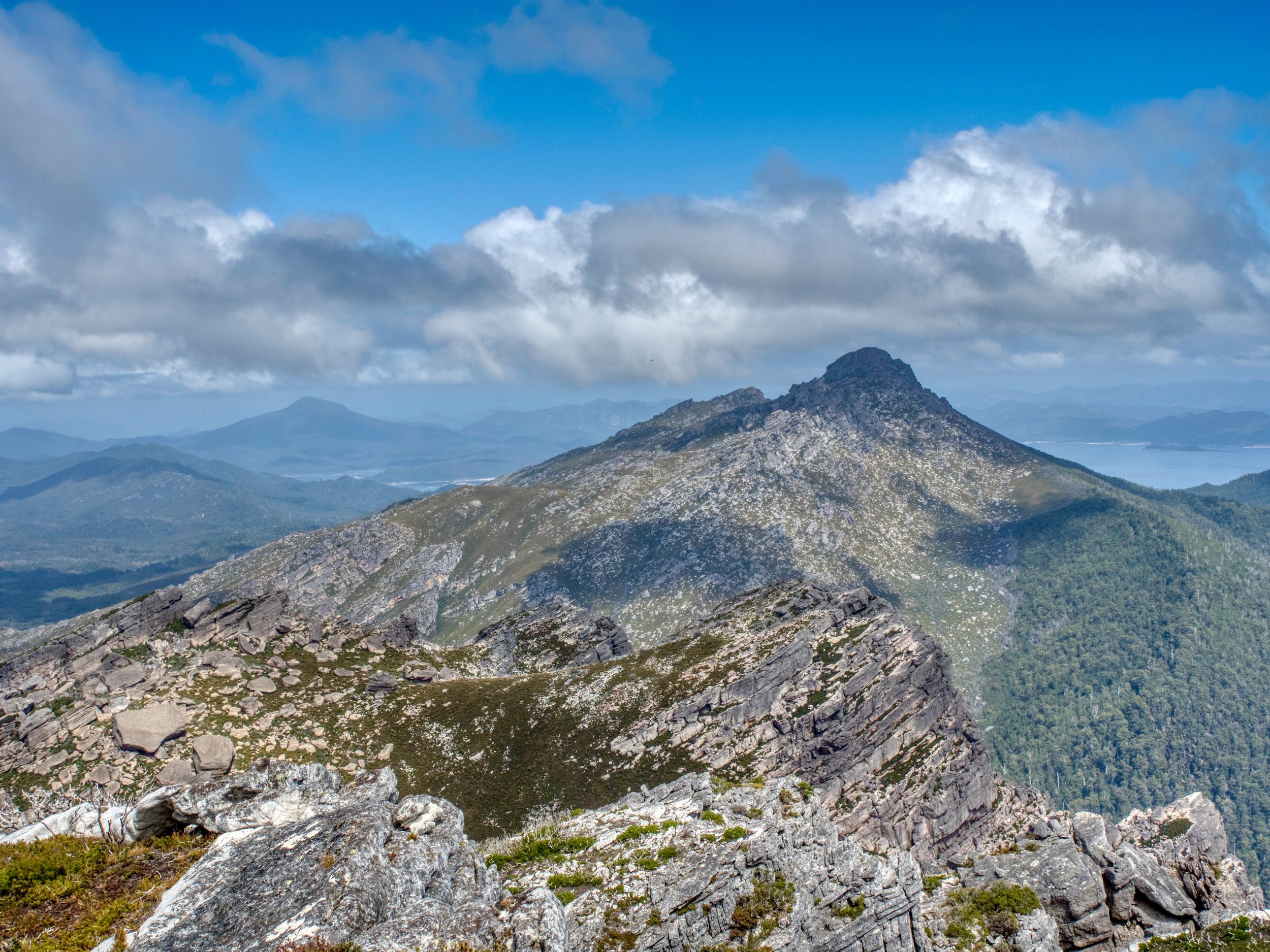
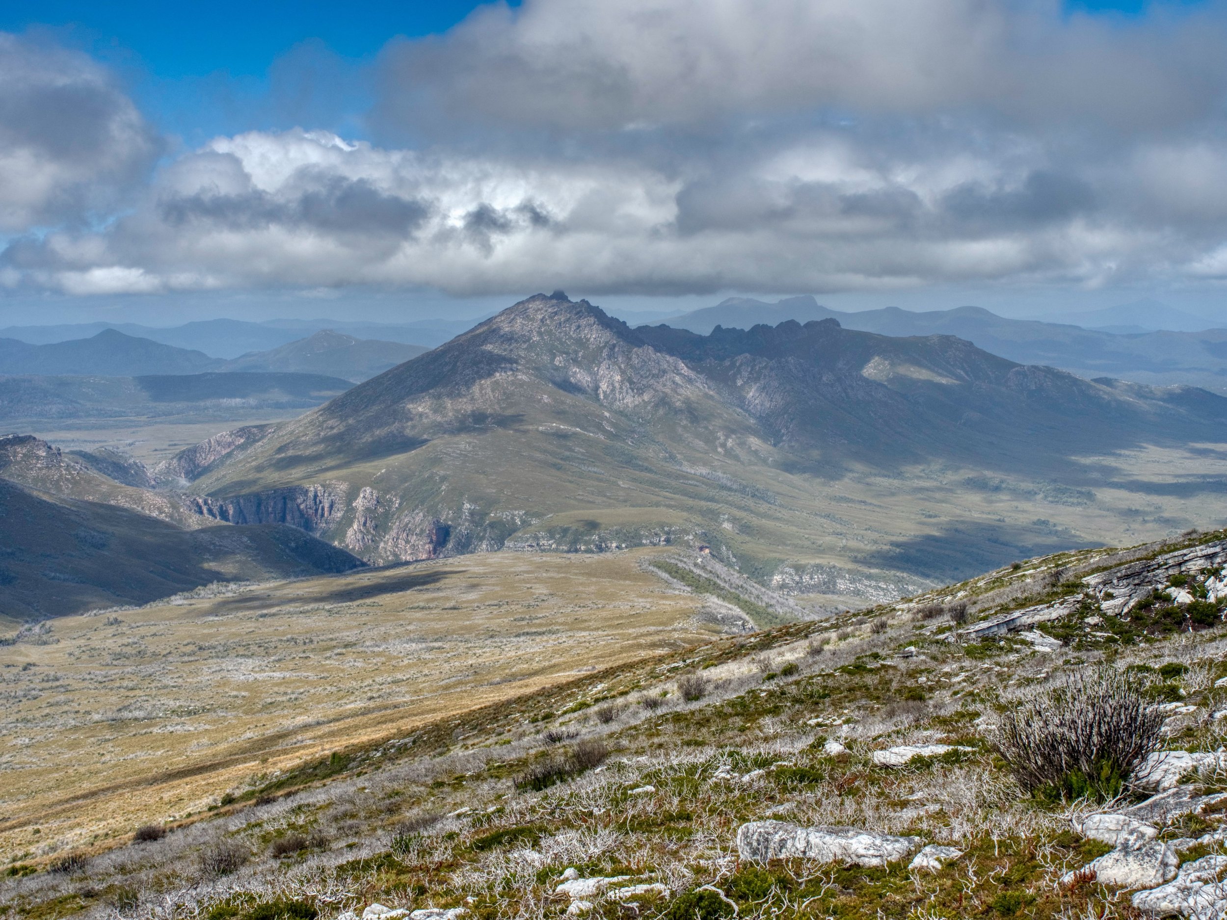
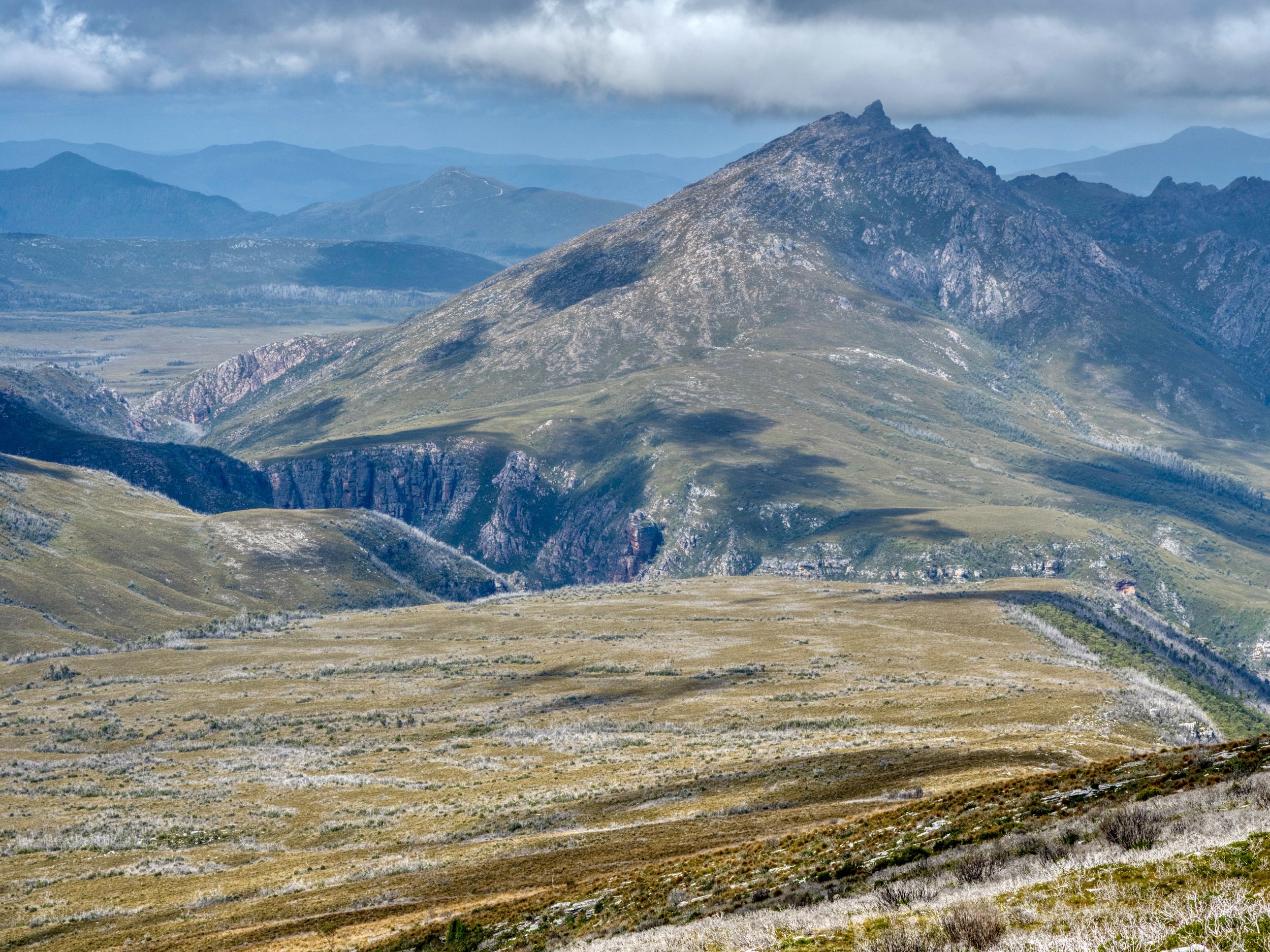
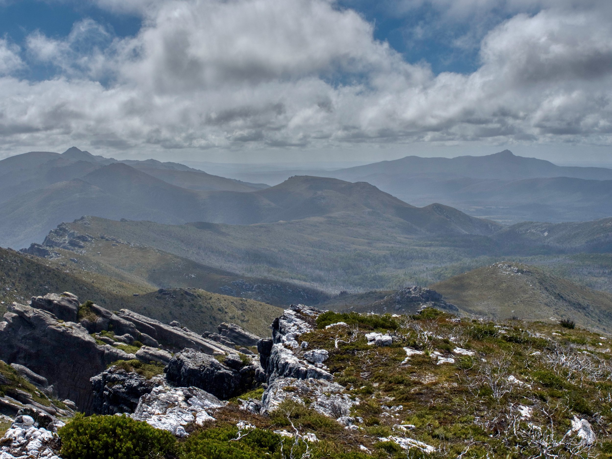
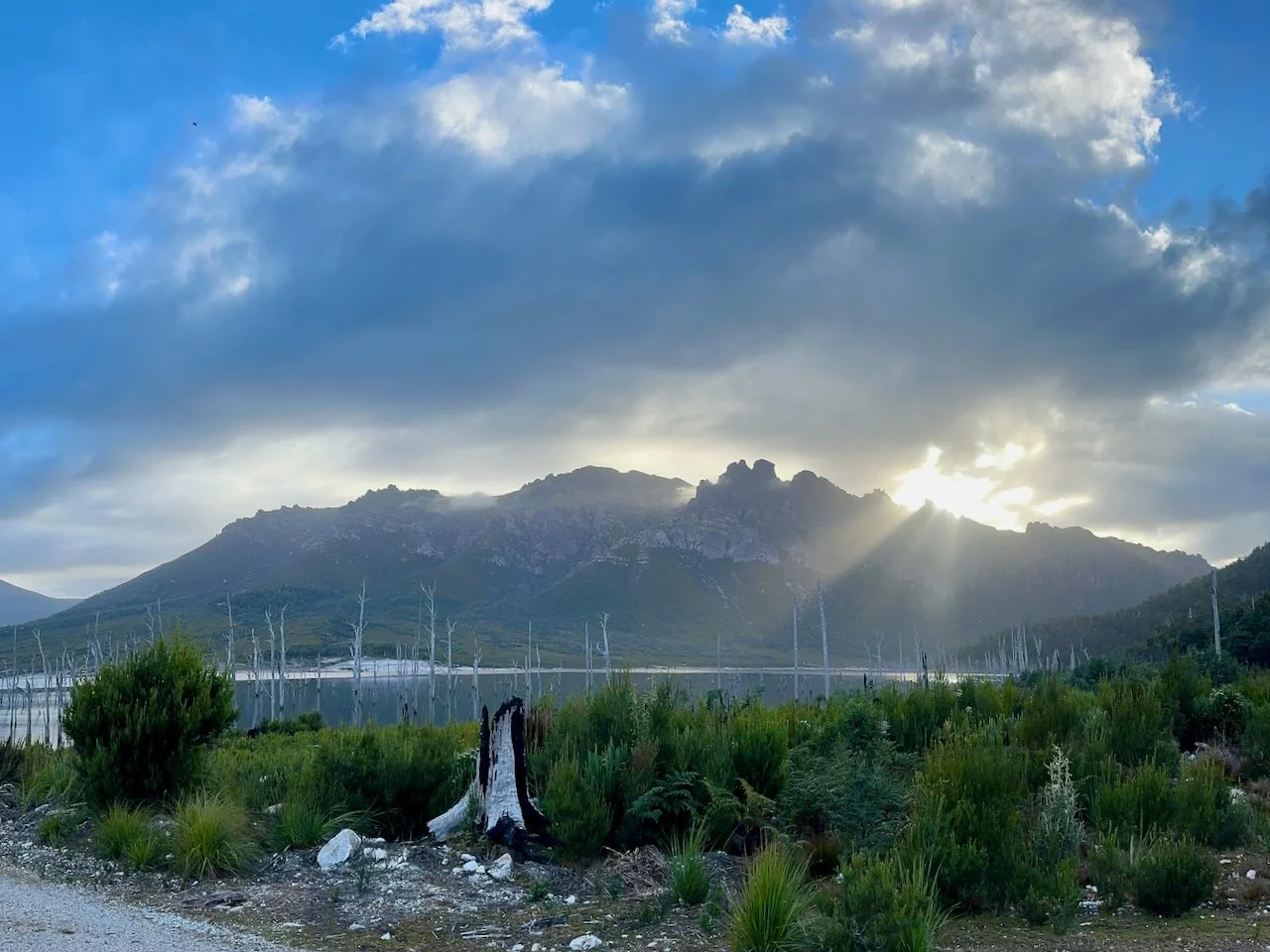
The surrounding views were spectacular, including Lake Gordon, Clear Hill (with Mt Wedge in the background, The Thumbs, Gordon Gorge, Mt Wright, and Wylds Craig and Reads Peak.