Packrafting the Ansons River – Bottleneck Ford to Ansons Bay
On Sunday the 21st of January 2024 I set out to do a paddle close to St Helens. Not having been to Ansons Bay before, I decided to check out the Ansons River, although this was somewhat speculative as it isn’t recorded in any of the usual river guides I use.
Looking at maps of the area it appeared that the section from Bottleneck Ford, where Ansons Bay Road crosses the river, to Ansons Bay would be flat water, and probably tidal. This was backed up by an article I found online about the Bay of Fires Lodge Walk.
The Stats
Water level: 0.05m (downstream of Big Boggy Creek)
Grade: flat water
Distance: 4km
Time: 1 hour
Location
The section of river I paddled runs from Bottleneck Ford on Ansons Bay Road to Ansons Bay itself and is about a 45 minute drive north from St Helens on a well-maintained gravel road. I left the car at my finish point at Ansons Bay and rode my mountain bike back to the start, which only took 14 minutes to ride the 3.5km.
Entry Point
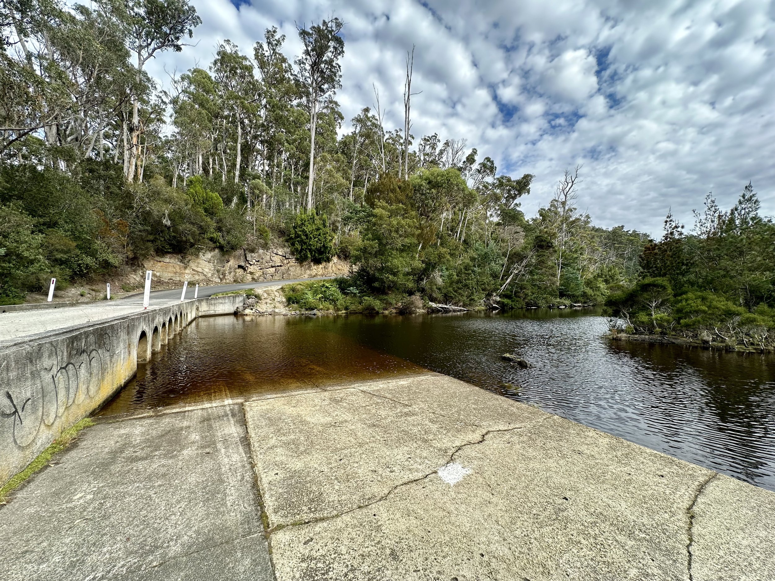
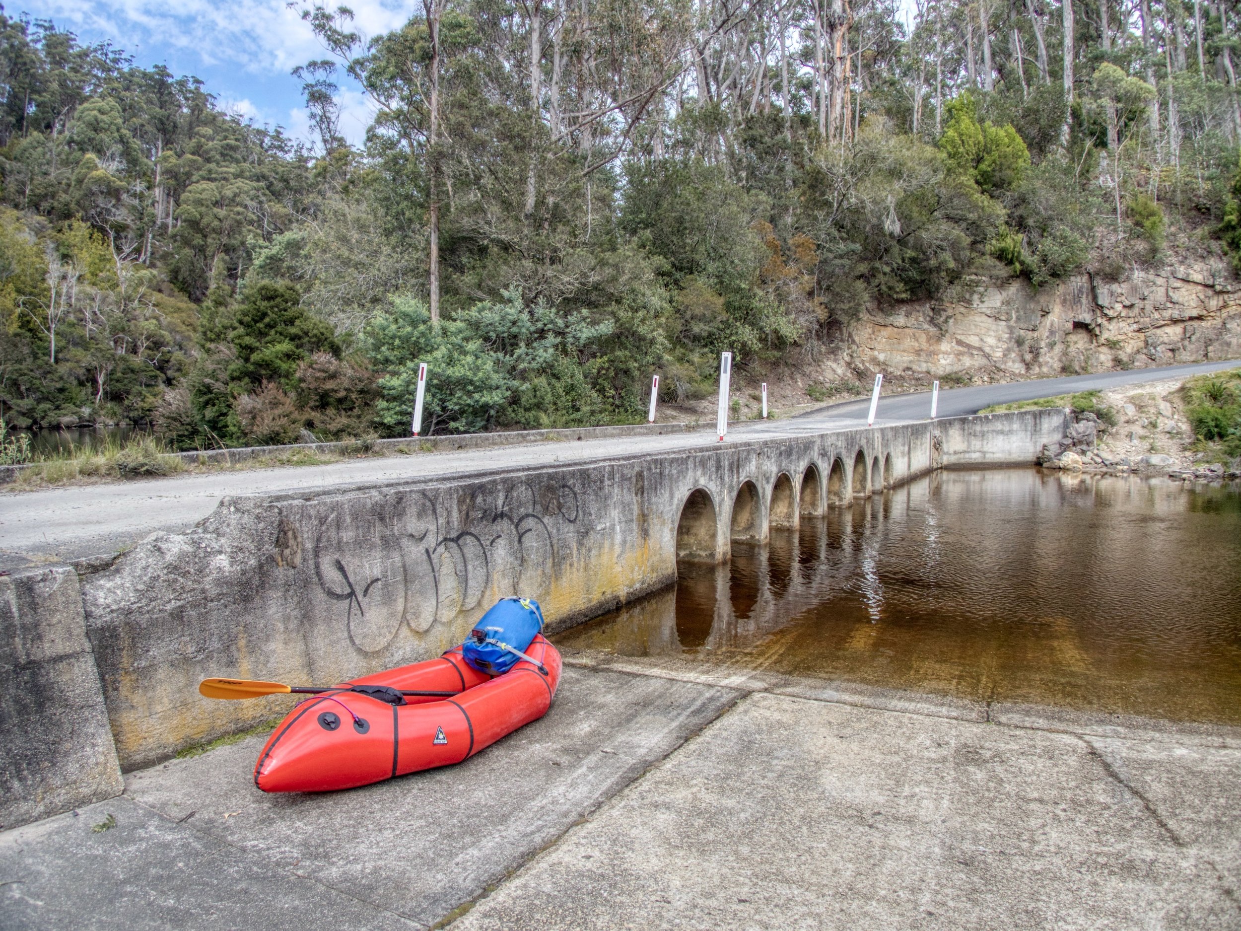
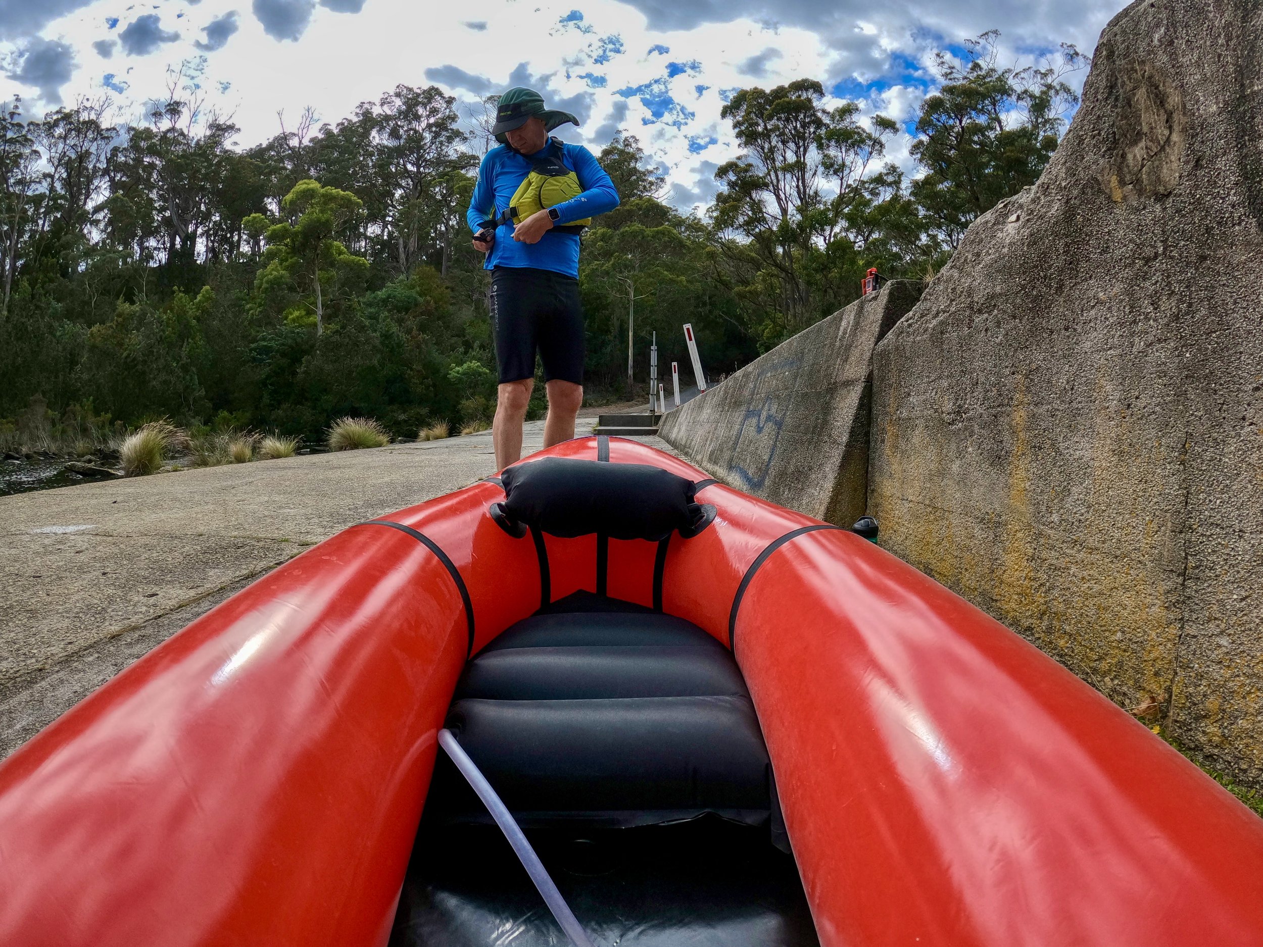
My entry point to the river was at Bottleneck Ford, where Ansons Bay Road crosses the river. The access to the river is obvious, with a concrete ramp making its way down to the water on the downstream side, and there is parking space on the southeastern side of the ford.
The River
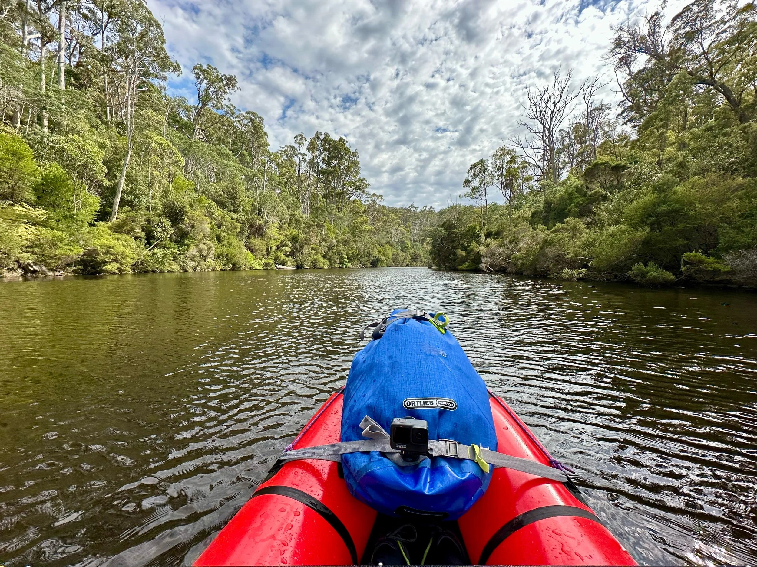
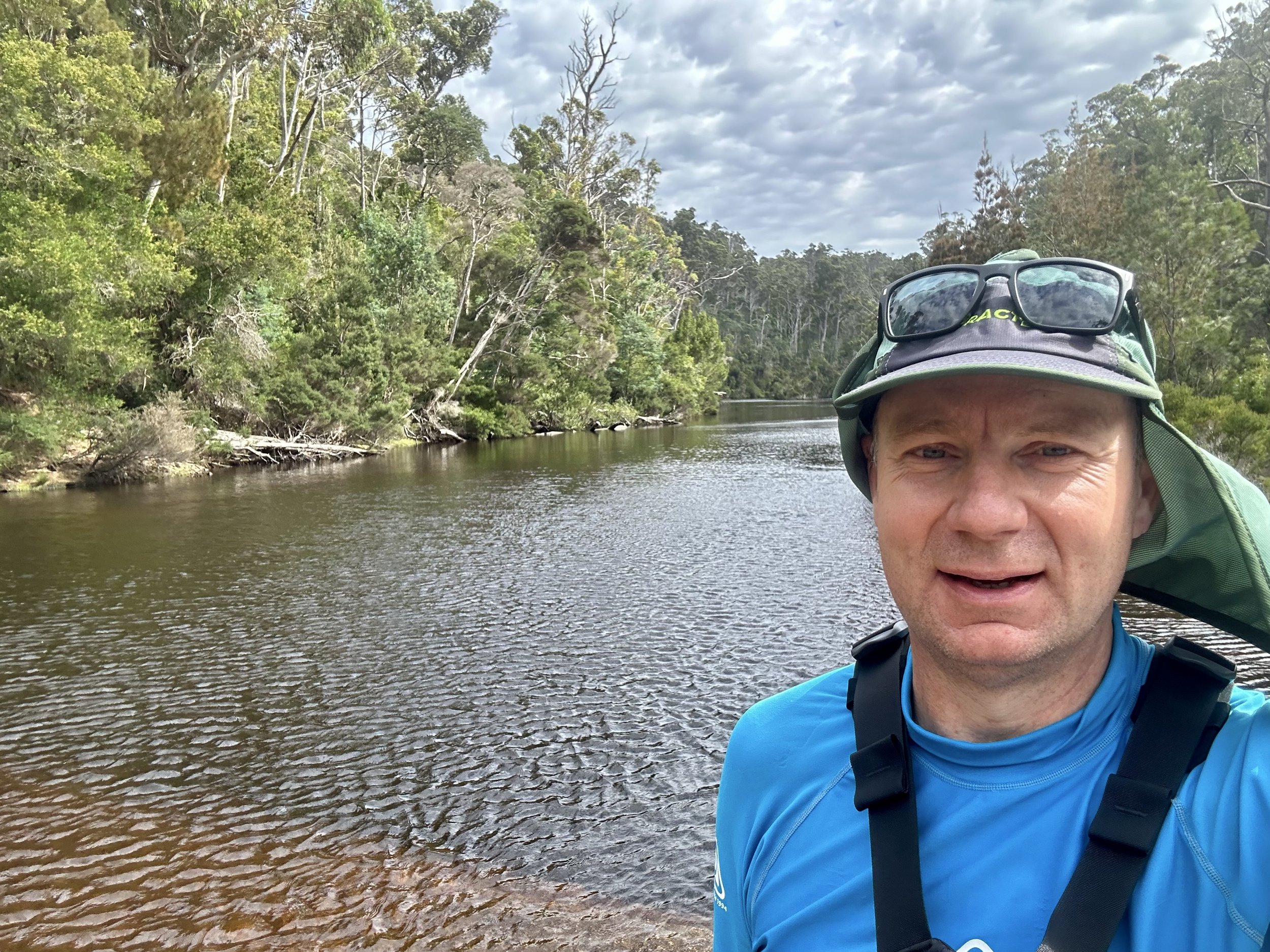
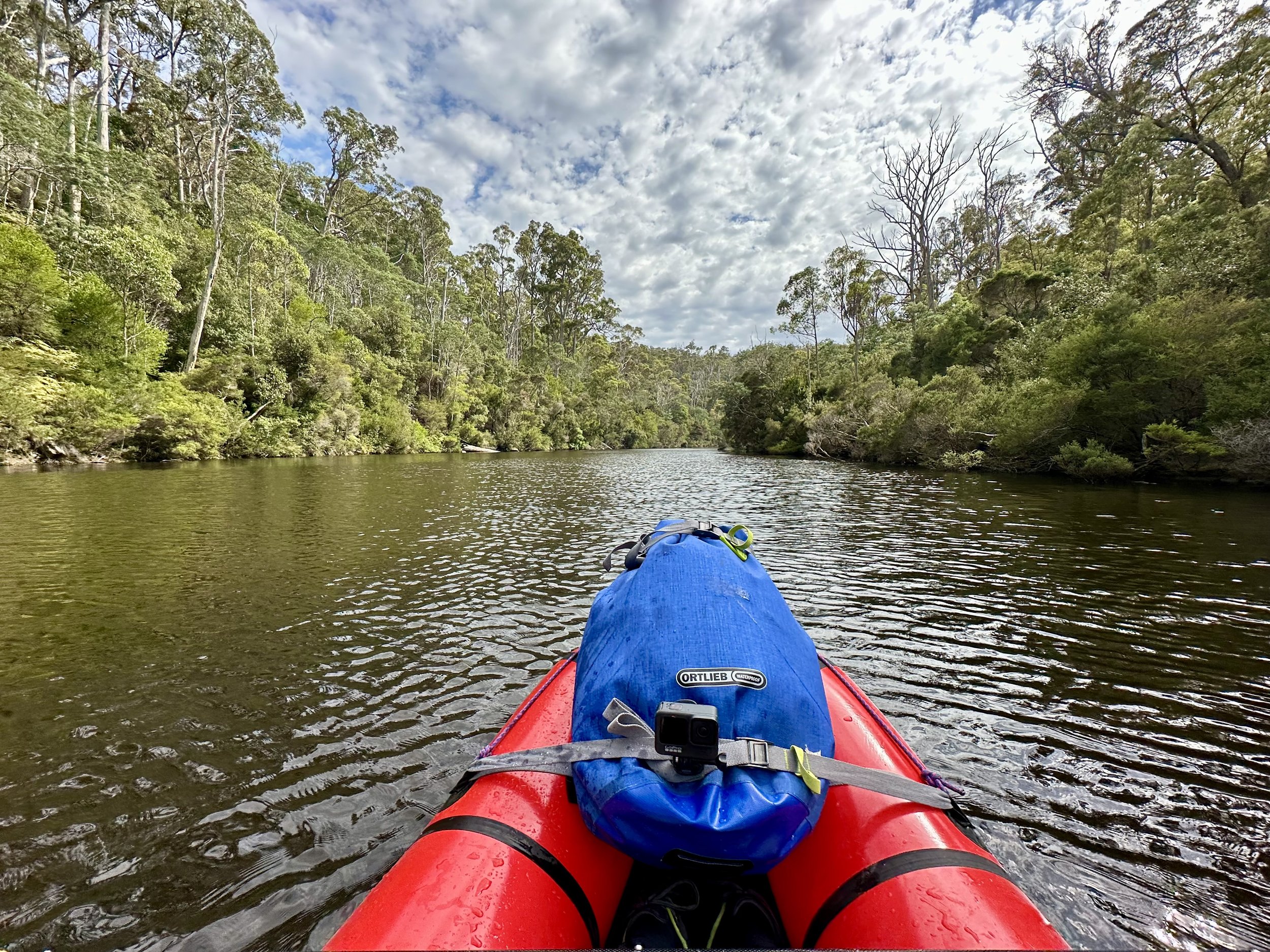
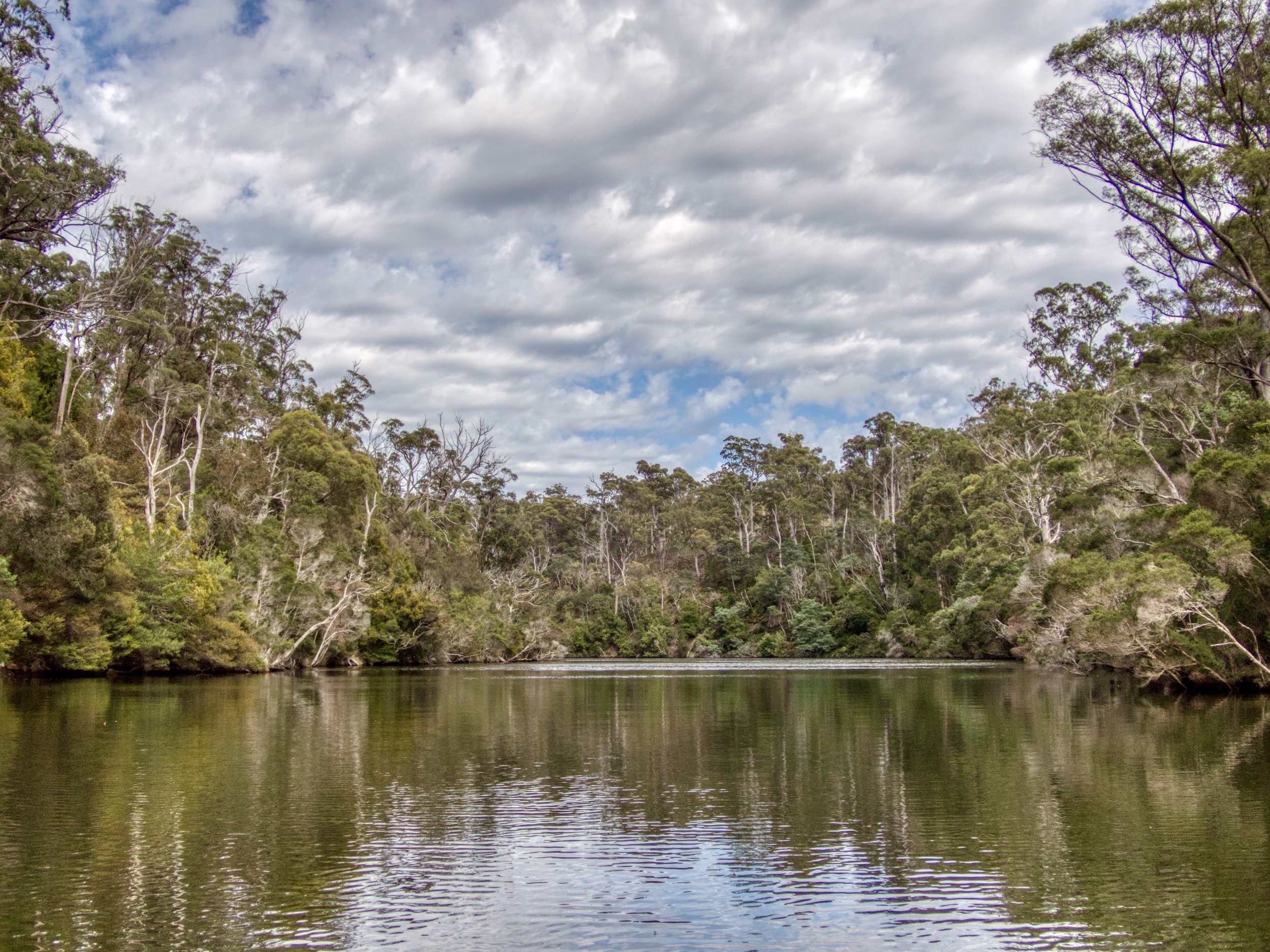
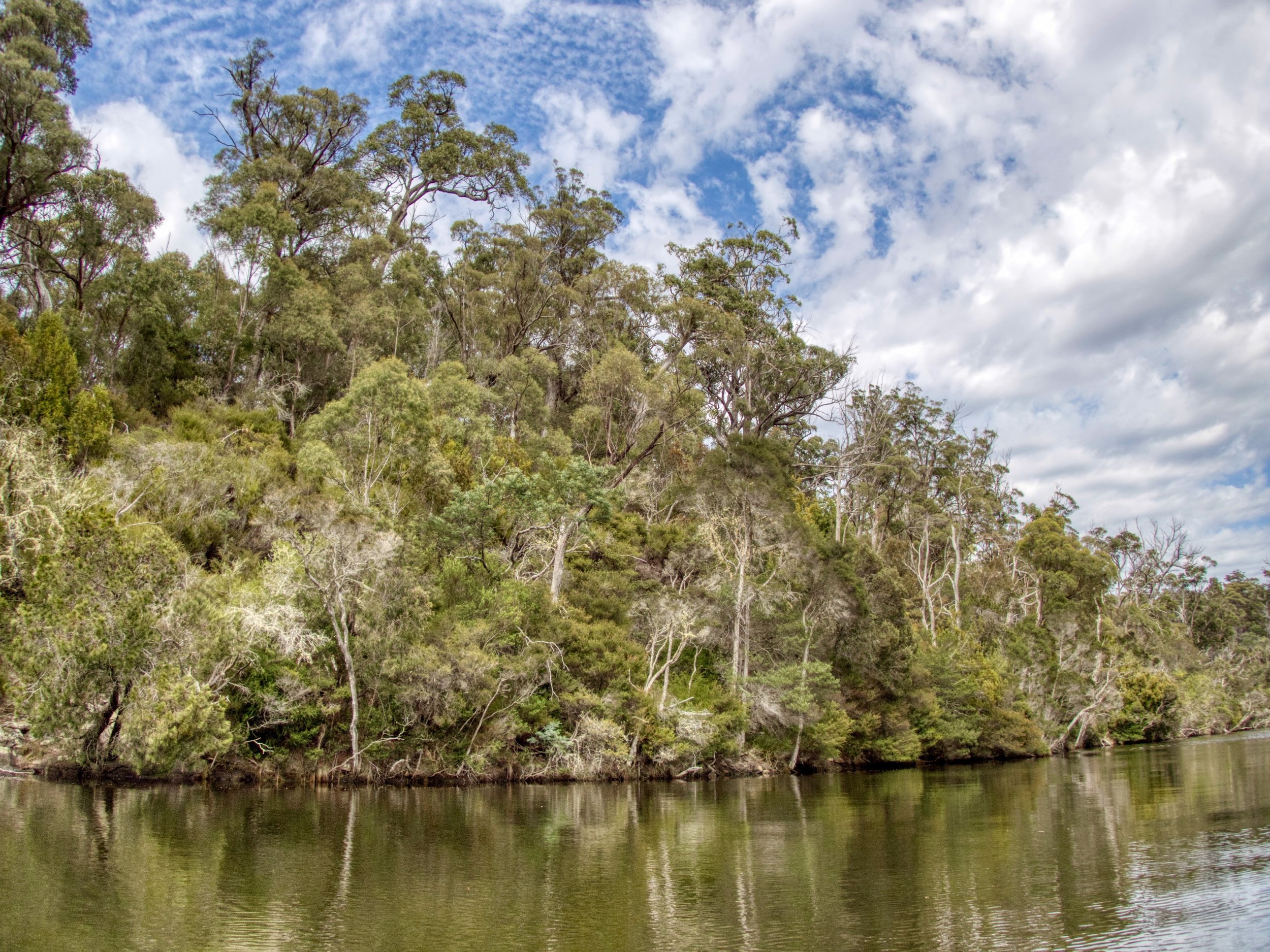
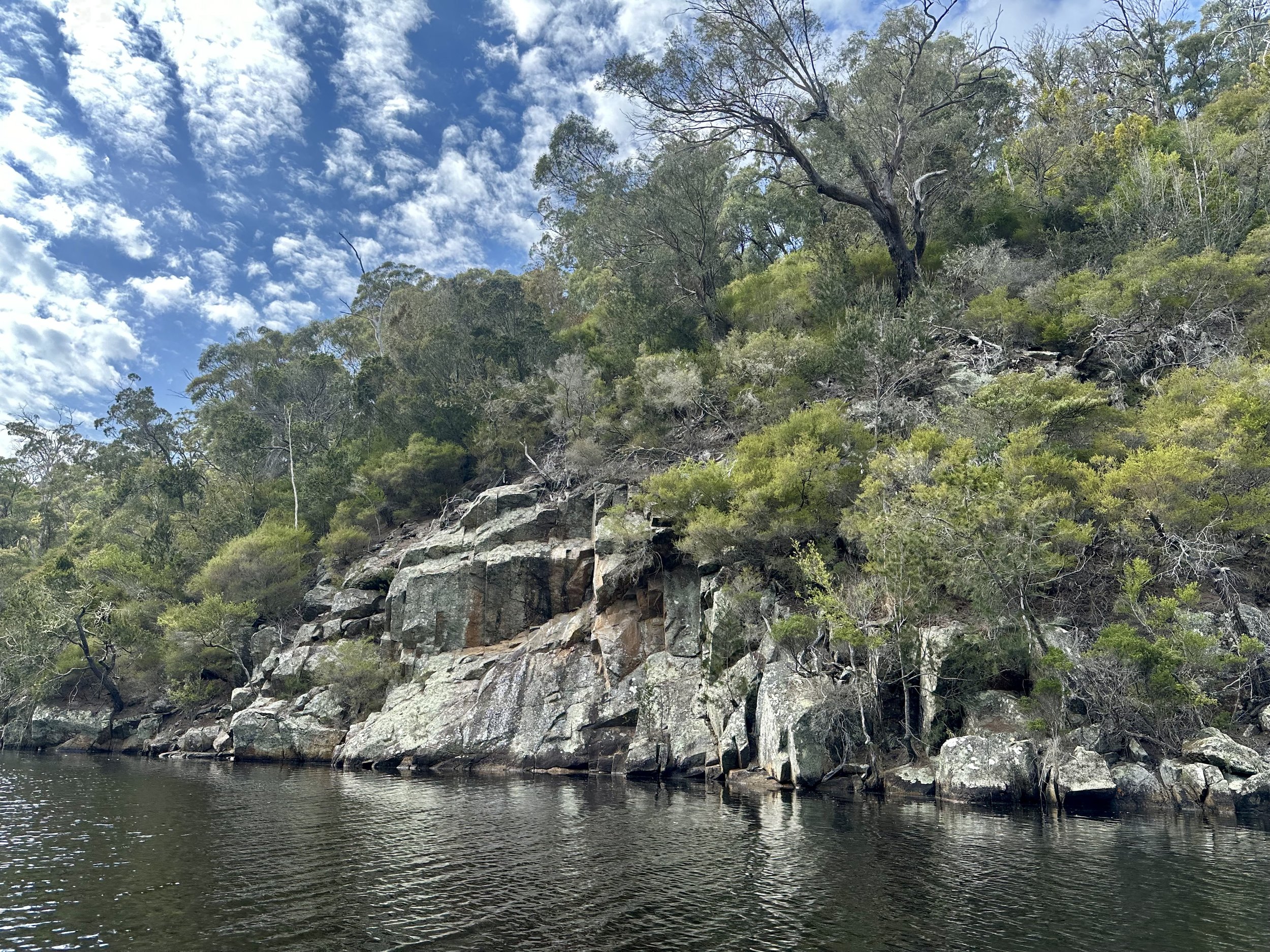
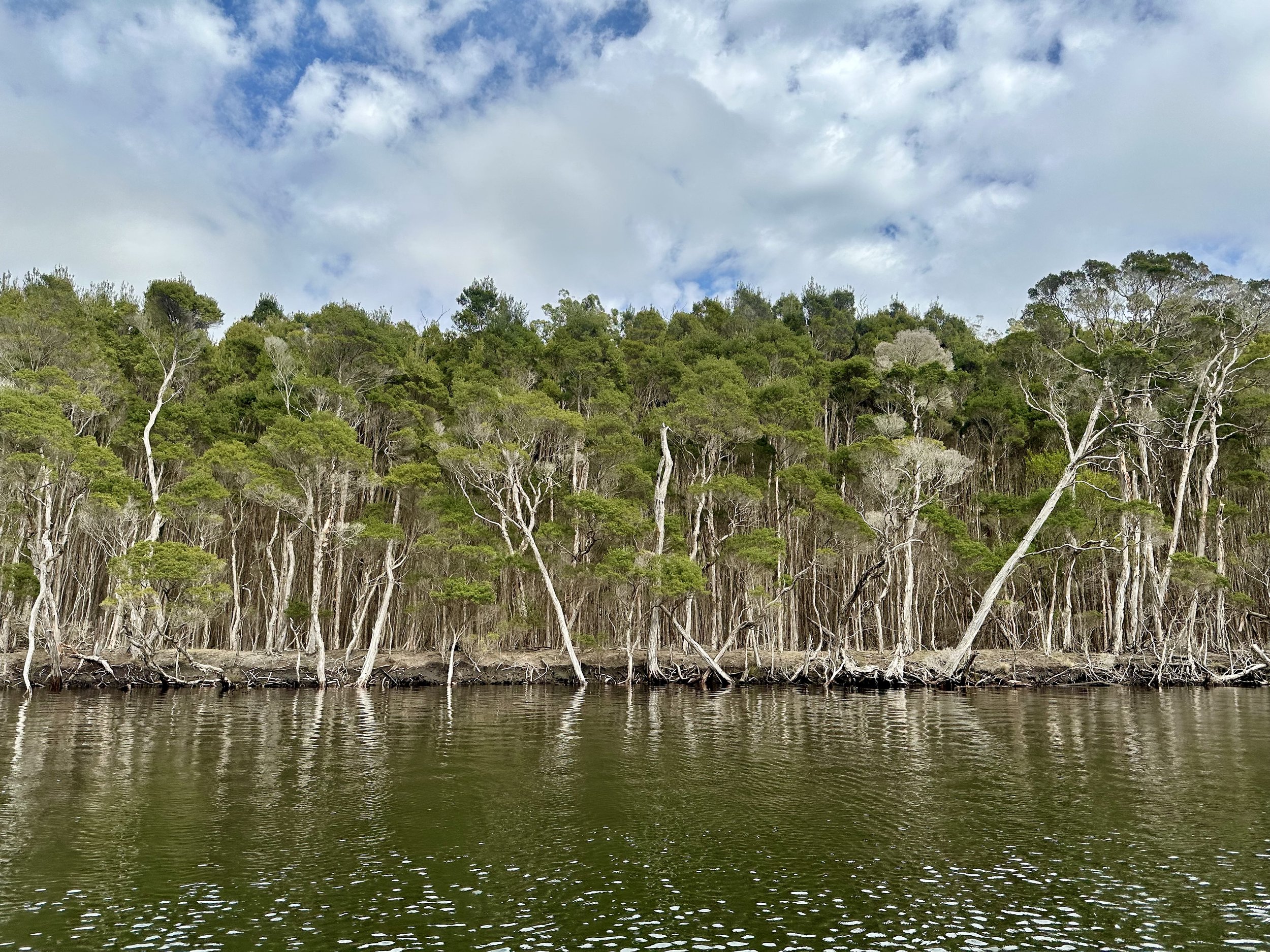
The river was entirely flat water, which I don’t think was moving at all (although this may change after heavy rain) that was boarded by bushland, making for a lovely, if unexciting, paddle.
Exit Point
There are likely multiple options for exiting from Ansons Bay, but I’d picked a dirt road that ran down to the river immediately and entering the township. This ran off Groves Road and also passes the end of Acacia Drive. While the track goes all the way down to the river, the last section is quite steep and rutted, so I parked at the top of this and carried my boat up.
