
Packrafting the Huskisson River
On Sunday the 31st of October 2021, Col and I packrafted the Huskisson River, after spending a day walking into the river from Waratah.
Distance: 19 km (full river is 23km)
Grade: 2
Time: 3¼ hrs (normally 6-7 hrs ?)
Water level: There is no gauge, but the river was up when we did it — hence our quick time
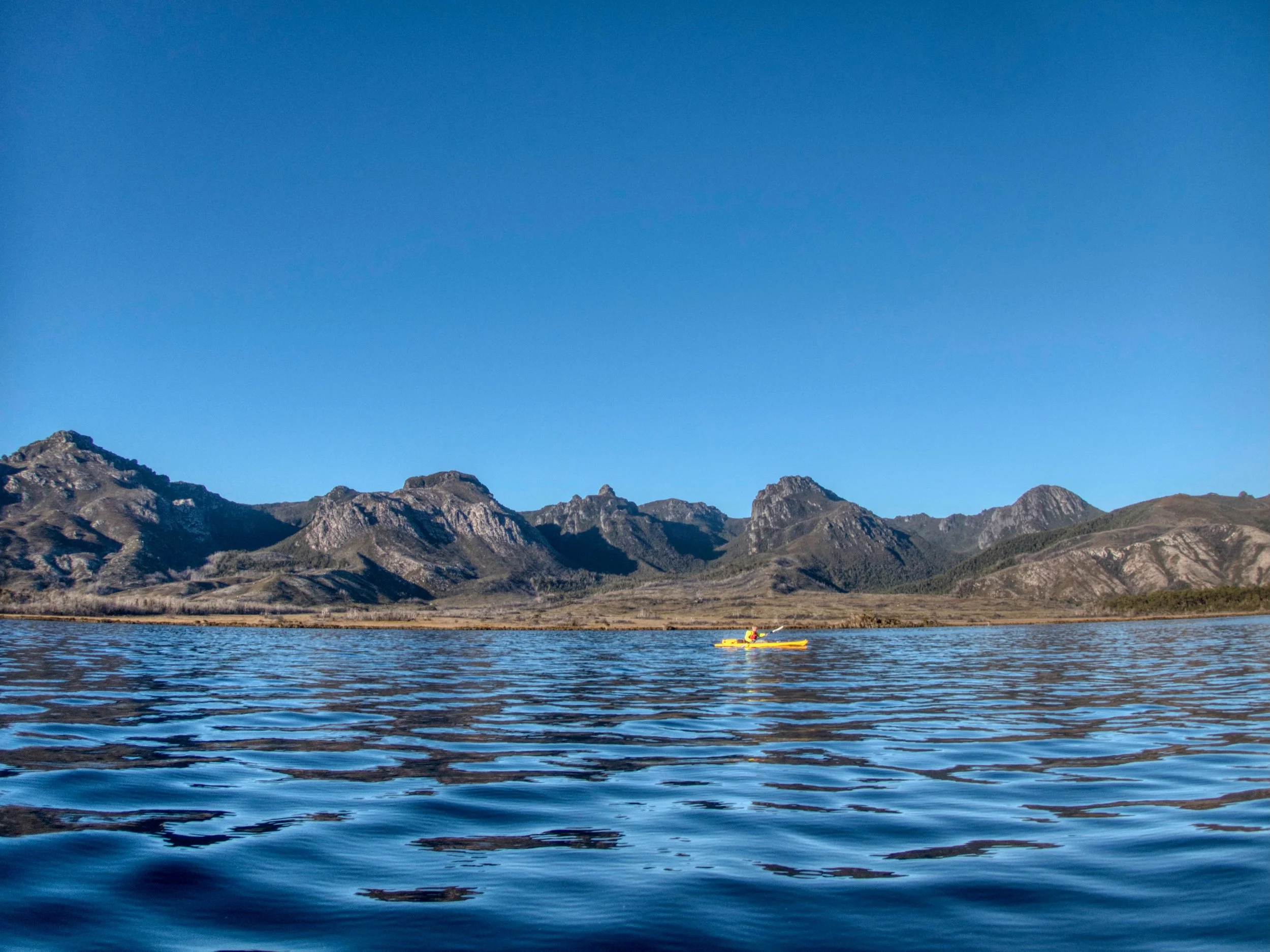
Location
The river is located in the Tarkine on Tasmania’s west coast, running north to south for 23km parallel with the Murchison Highway down to the Pieman Road (above Lake Pieman).
There are no major roads near the start of the river, however the following access routes can be used (map below):
The most convenient access is via Huskisson Drive, which turns off from the Murchison Highway at the Hatfield River. Drive for about 21 km to the Hatfield River. It is then another 500m to the Que River. However, Huskisson Drive has a locked gate at the Murchison Highway, with the initial part of Huskisson Drive passing through a forestry reserve managed by Forico. To gain access, application needs to be made through the Forico website (use the General Estate Access menu item). This access route is also in the section of the Tarkine Trails book/app on paddling the Huskisson River.
Walking in from Waratah Road (approx 20km), as described in the Tarkine Trails book/app – see: Ramsay Rainforest & Huskisson River.
Walking in along the Melba Line railway (approx 5km) and paddling the Bulgobac and Que Rivers, as described in Matt Brain’s video Back of Bulgobac.
Driving in to a much lower section of the river, as described in the Tarkine Trails book/app – see: Huskisson River Rainforest via the Kazoos Track.

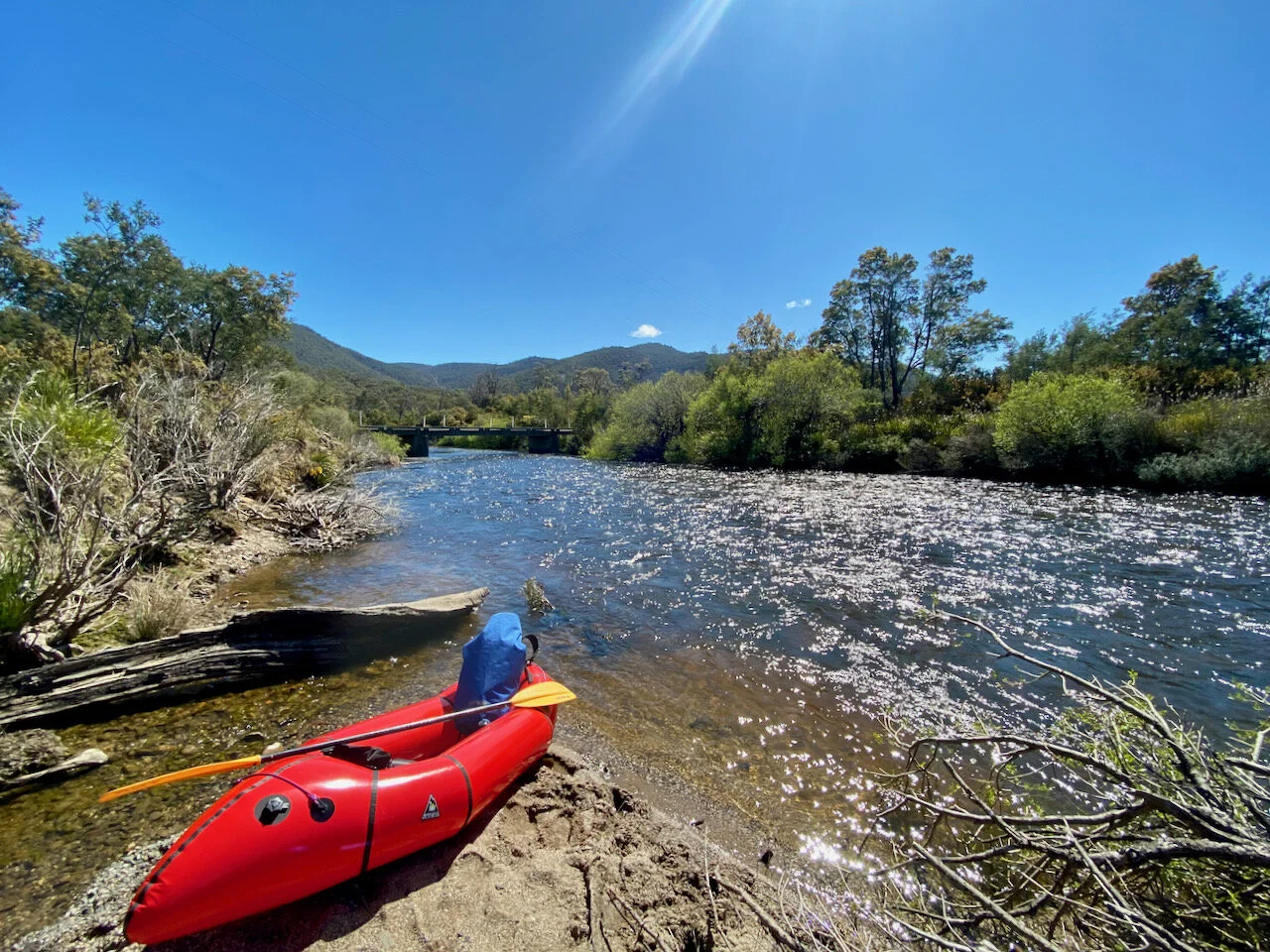
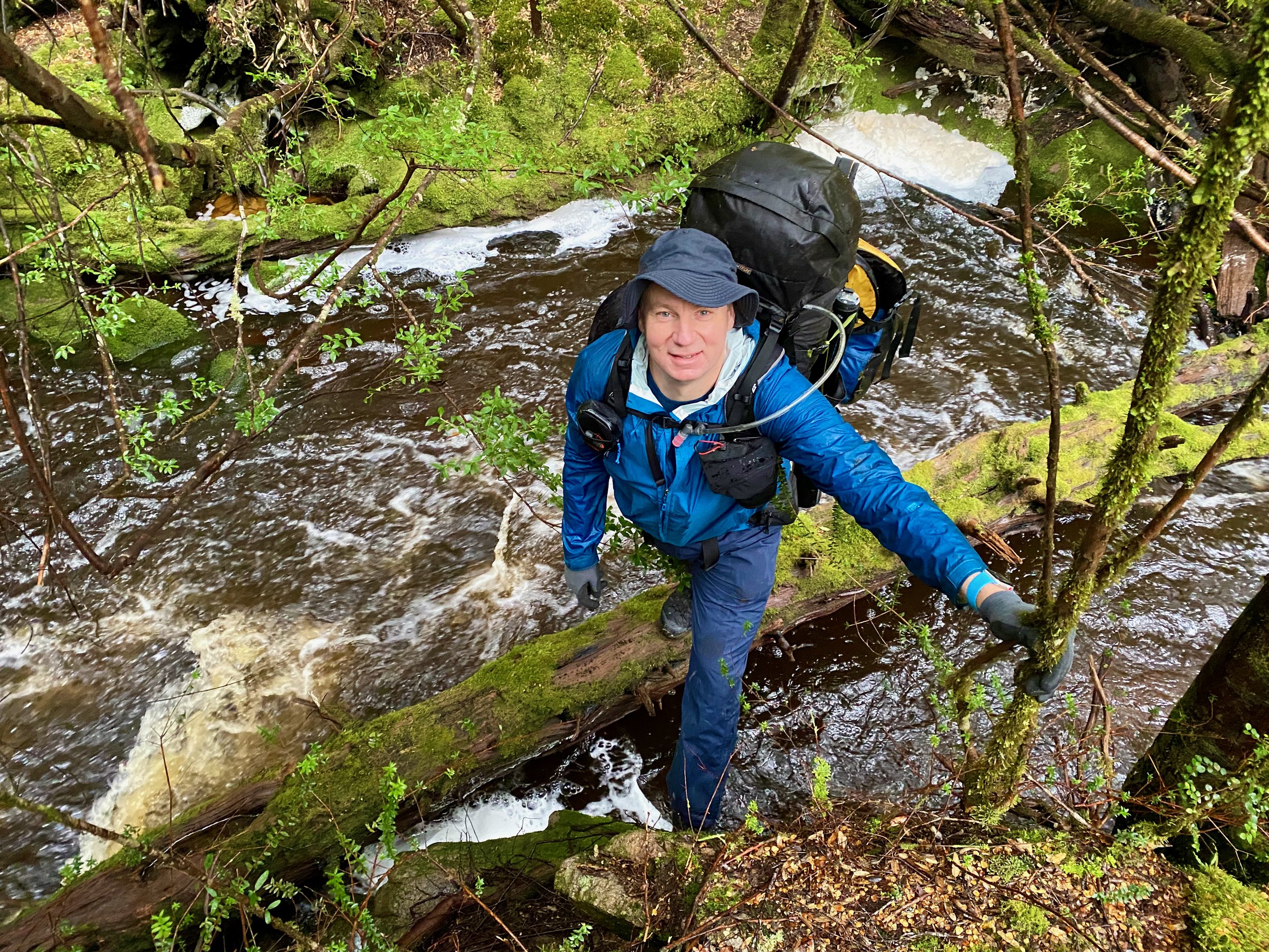
We took the second option and walked in from Waratah Road, camping overnight before paddling the river, after being unsuccessful in being able to gain access via Huskisson Drive. However, this was a pretty arduous walk, with about 40mm of rain having fallen in the prior 24 hours. The track is steep in sections (both up and down hill) and was slippery in the wet. The track also included a couple of river/creek crossings, with these streams being up after the rain, plus the track has been churned up by 4x4 traffic, creating some rough sections and lakes / bog holes that needed to be bush-bashed around. It also saw us join the river about 4km below the start.
After doing the walk in, I heard about another similar track in the same area called the $1,000 track (or Coldstream Track) — so named because $1,000 damage is the minimum you will do taking a four-wheel-drive down it! However, for someone walking in, this may be a better option than the route we took, as it takes you to the start of the river (4km above where we put in) and is also the location of the Coldstream Hut.
I’ve not been able to find much information about the track, although there are numerous YouTube videos of people doing it in four-wheel-drives, but from watching those videos and checking Google Maps, I believe this is the route (although it isn’t marked in ListMap).
The River
The river was definitely up when we did it, but I could not see any gauge at the bridge on the Pieman Road, as described in the WikiRiver Guide. However, from the height of the rain that preceded our trip to when we finished, it had dropped about 5 feet.
As a consequence of this increased flow, the character of the river was no doubt different to what is normally encountered. The Tarkine Trails app/book describe the river as taking 8 hours to kayak, while the WikiRiver guide says 5-6 hours, but we sailed down a broad river in 3¼ hours. As a consequence, I’d suggest turning to those two resources for a more accurate description.
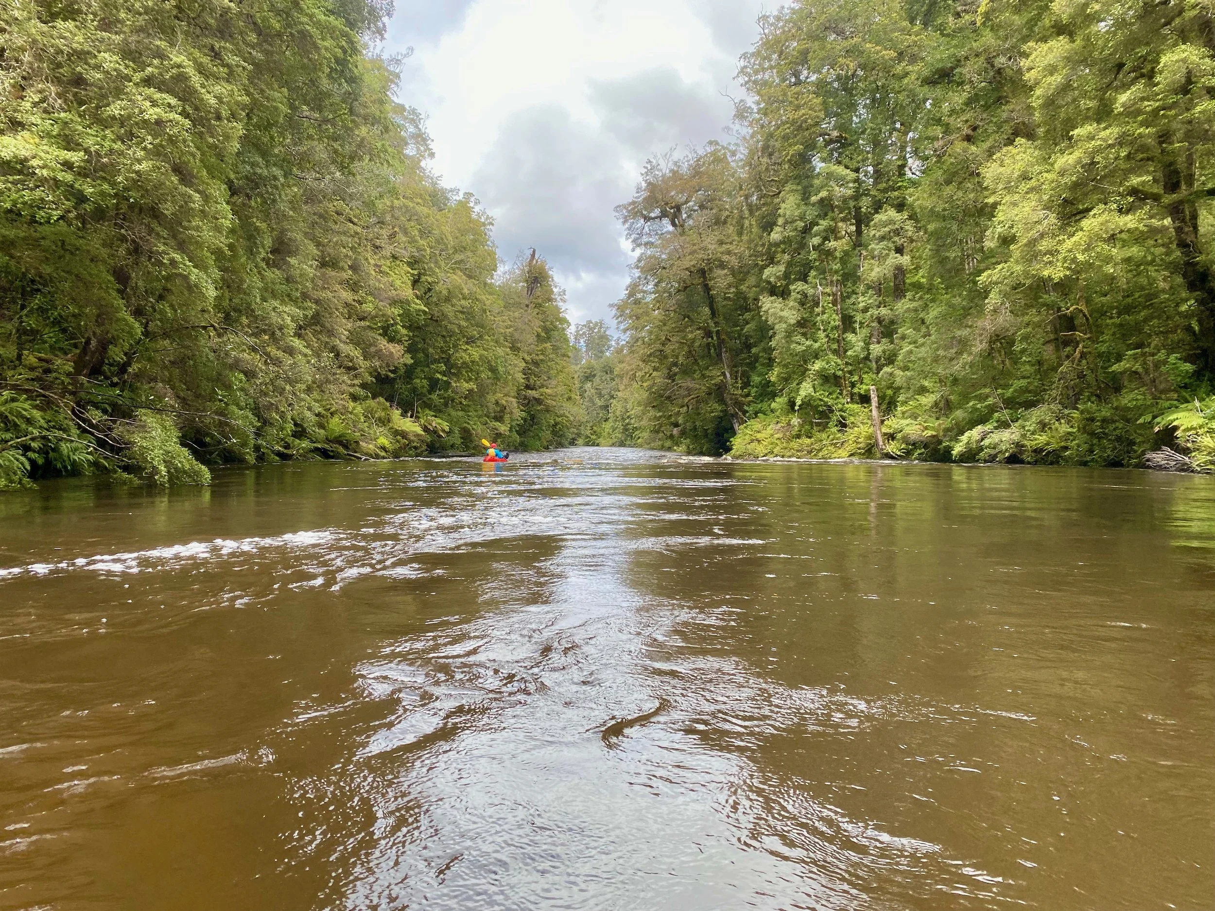
Where our track joined the river below the Ramsay River, it must have been on a bit of a downhill run. We were a little concerned with the speed of the water flowing past our entry point when we arrived, but it wasn’t indicative of the river overall, which was easily manageable for us novice paddlers. With the river being up, we also didn’t encounter any rapids of any note. There were definitely sections of fast moving water and rapids with waves, but no obstacles that caused us any concern.
Overall, I’d highly recommend the river, albeit the access for us was a significant effort in comparison to the amount of paddling we got. The river passes through some beautiful rain forrest and is a beautiful part of the state to visit.