

Hiking the Eagle Creek Track and Packrafting the Lower Franklin River
Inspired by Rob Parson’s video The Land Before Time, Col and I set out to hike the Eagle Creek Track and packraft the lower Franklin River in southwest Tasmania over Easter 2021. Although I knew from Rob’s video that the track wasn’t straightforward, we weren’t really prepared for what we encountered. It took us around 20 hours, over three days, to hike that 9km track — something we’d only allowed 8 hours to achieve over an afternoon and the following morning.
A major issue in achieving this track is that the track is not where it is marked on ListMap! In places, the actual track is several hundred metres from where it is marked. This meant that when we lost the track, we couldn’t use the GPS to bush-bash back to it, because we didn’t know where it was. Unfortunately, I didn’t record the whole of our trip with a GPS, but I have made some track notes below the video for anyone planning to tackle it.
Video of Our Misadventure
Getting to the Track
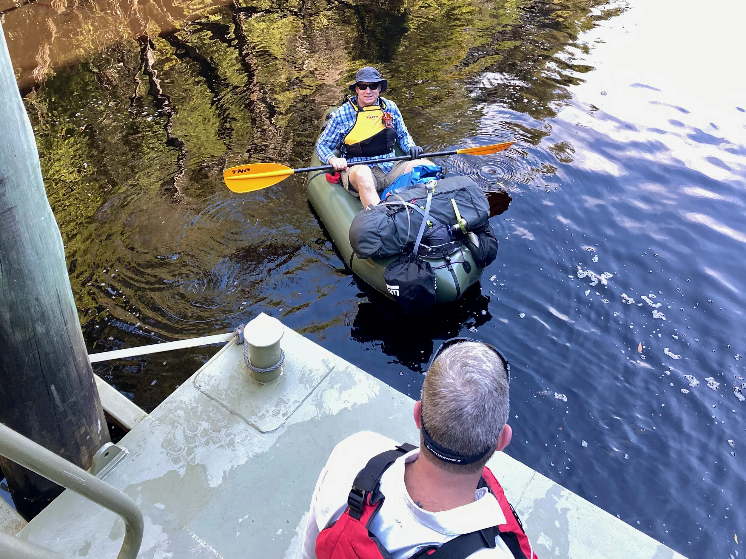
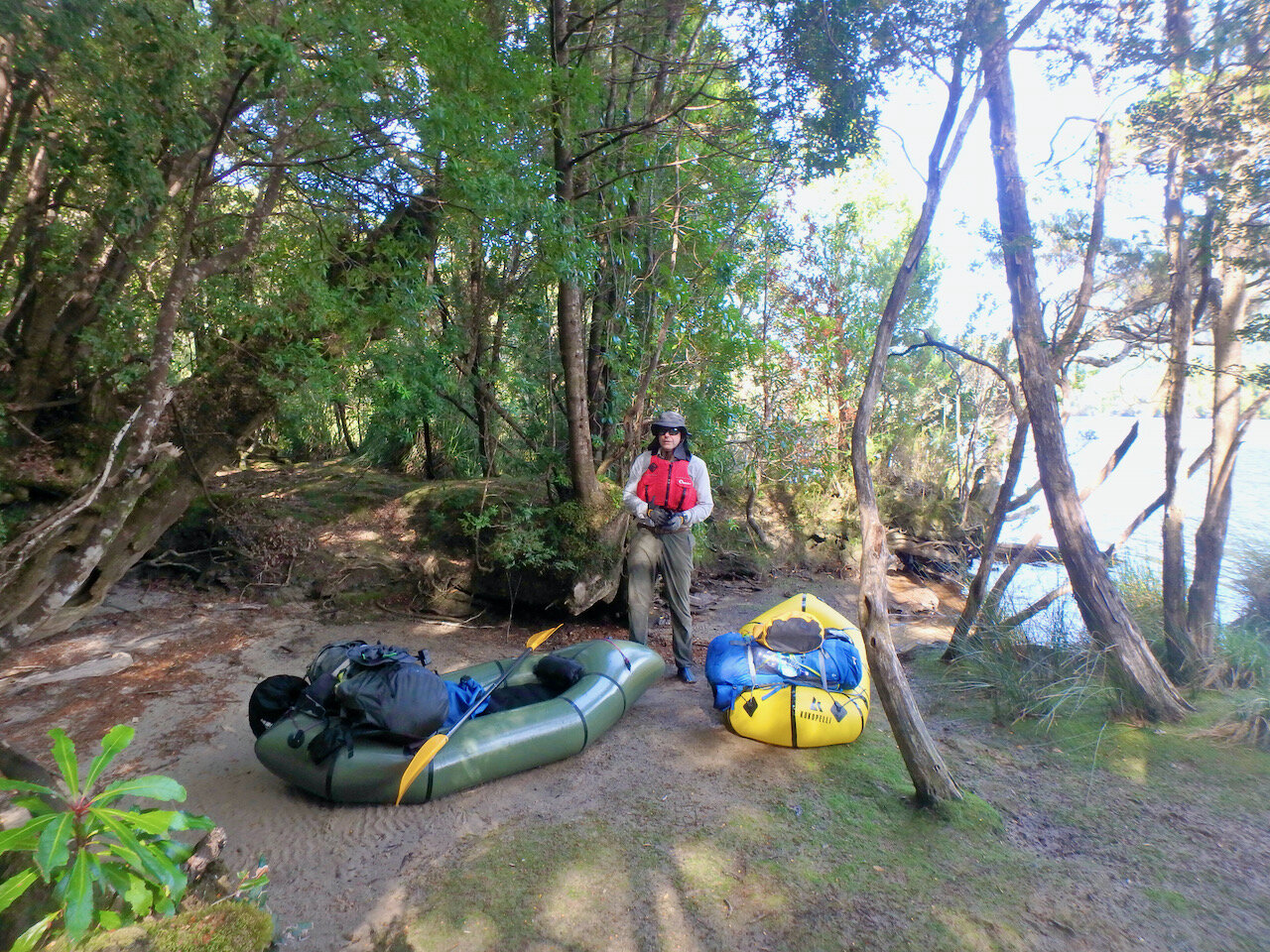
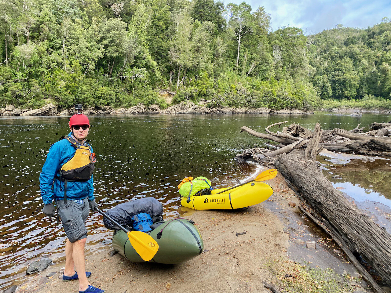
To get to Heritage Landing, we joined a Gordon River Cruise from Strahan with Gordon River Cruises, having pre-arranged to be dropped off and picked up again on the following Monday. We then used the packrafts to paddle to the start of the track. I have done a separate post on this part of the tip here.
Hiking the Eagle Creek Track
The map below gives an overview of some of the major points on the track, which are discussed in more detail following it. However, if you are interested in doing this track, it would be worth reaching out to Trevor at West Coast Yacht Charters. Trevor and his mate recut the track in 2014 and have a hand drawn map of the track that shows where it actually goes. Their yacht Stormbreaker also takes people in and out of the Gordon River and is an option for getting in an out.

The coloured lines are sections we walked. Apart from where it is noted we lost the track, these represent the actual location of the track. The individual markers are the locations of photos I took on the track, marker posts on the track, or tape on the track. As you can see, these vary significantly from where the track is marked as being on the map!
My number one piece of advice in attempting this track is don’t go off track. If you lose the track, backtrack to where you were last on it and search for it again. The bush is too dense to bush-bash, and despite the poor state of the track, it is easier to walk on than trying to make your own trail. Further, with the track not being where it is marked on the map, it really comes down to luck whether you will find it again if you lose it, so don’t bush bash thinking that you can join up with the track again.
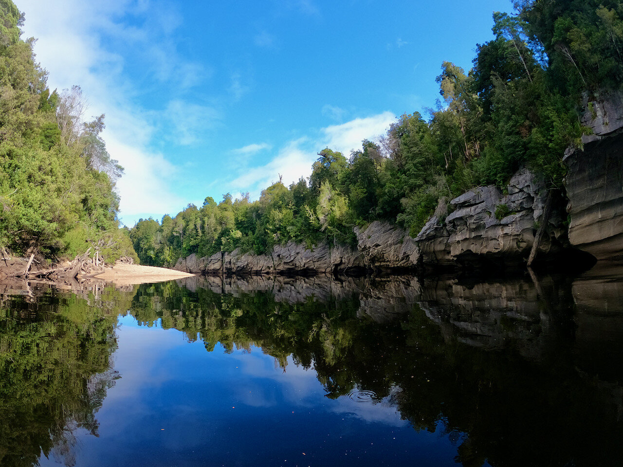
The start of the track at the end of Expectation Reach on the Gordon is relatively obvious. It is exactly where it is marked on the map.
The trail head itself from this camp site isn’t the most obvious, with trees fallen right at the start, however if you keep walking straight from the beach past the log book box, you’ll find the trail head on your right.
The initial part of the track, once found, is easy enough to follow. Once you cross Scorpion Creek, the track runs more or less close and parallel to the creek, on the northern side, all the way up to the Pig Hill marker.

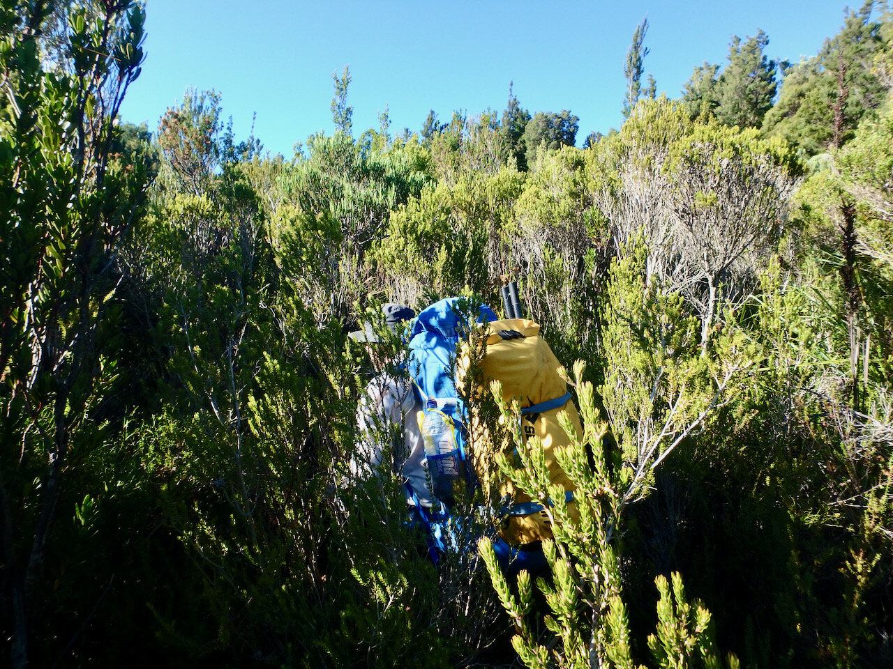
Immediately after the Pig Hill marker we found the track difficult to find again, but it keeps going up hill. After an initial climb, I think there may have been a little bit of levelish track(?), but once you get to the top there is a hard left turn into a clearing that looks like it is undoubtedly a camp site. Continue through the clearing to the end. The track again isn’t obvious here, but you’ll take a hard right turn through a gap in some cutting grass. This then leads out into the first tea tree section marked on the map above.
Unfortunately, this is where we lost the track the first time. We ended-up bush bashing through what was more or less the middle of the tea tree area, but in hindsight I think maybe we should have stayed closer to the left hand edge? Regardless, don’t do what we did and go off track. Do these best you can to find markers in this thick tea tree section and follow them.
Where we first lost the track.
We regained the track again shortly before the 2nd tea tree section, where it became non-obvious again. In this second lot of tea tree, the track initially sticks close to the left hand edge of the tea tree. Follow this about a third of the way along. At this point, you need to veer 45º to your right. Paths in the tea tree give the impression the track either goes straight ahead or continues on the left edge, but the actual track turns right at 30-40º as if you are heading to the back right of this section of tea tree. There are metal markers on posts and you should be able to find and follow these.

From memory, I think you head towards that tall tree at the back, just left of centre.
At the end of the tea tree you enter bushland again, with the track being fairly obvious. This part of the track goes down hill to another longer tea tree and button grass section. This is again marked with metal posts, but unfortunately it is impossible to see the next post from the prior one.
On reaching this section, continue straight ahead until you reach a creek. Past the creek there is bushland straight ahead and to the right. Rather than entering this, veer left slightly to go around it. As you continue straight ahead on this new course, there will be bushland in front of you again. Turn right to stay in the button grass and tea tree and follow the path. You should find markers in this section and be able to continue on to the end.

There are markers, but when you find one, you conniver see the next.
There is a marker at the very end leading into thick bush. Once you get through the initial barrier, it is open underneath the trees. Here the track was again non-obvious, and it appears there could be many ways to go. However the track, while continuing in roughly the same direction you have come from is to your right. Not a right turn, but maybe turning roughly 20º right(?).
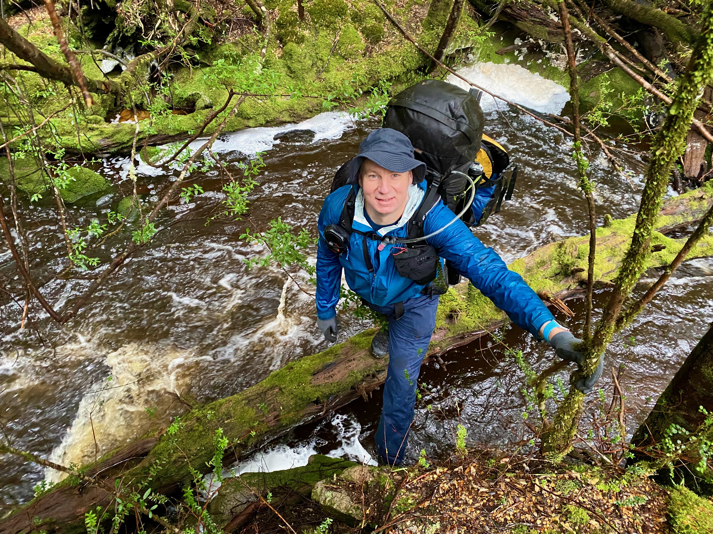
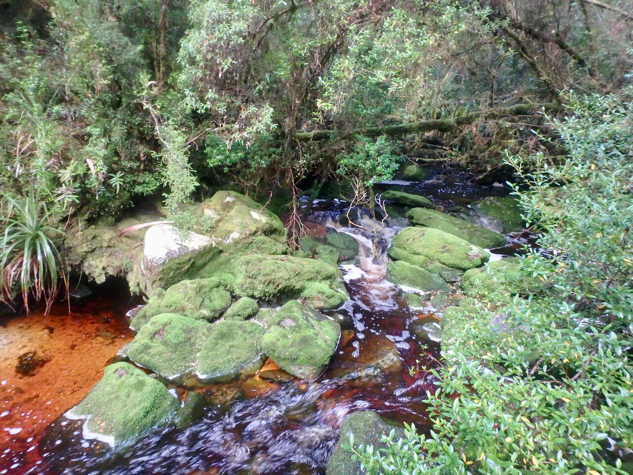
Parts of the track here are really rough with fallen trees, but you should be able to follow it all the way to Wattle Camp Creek.
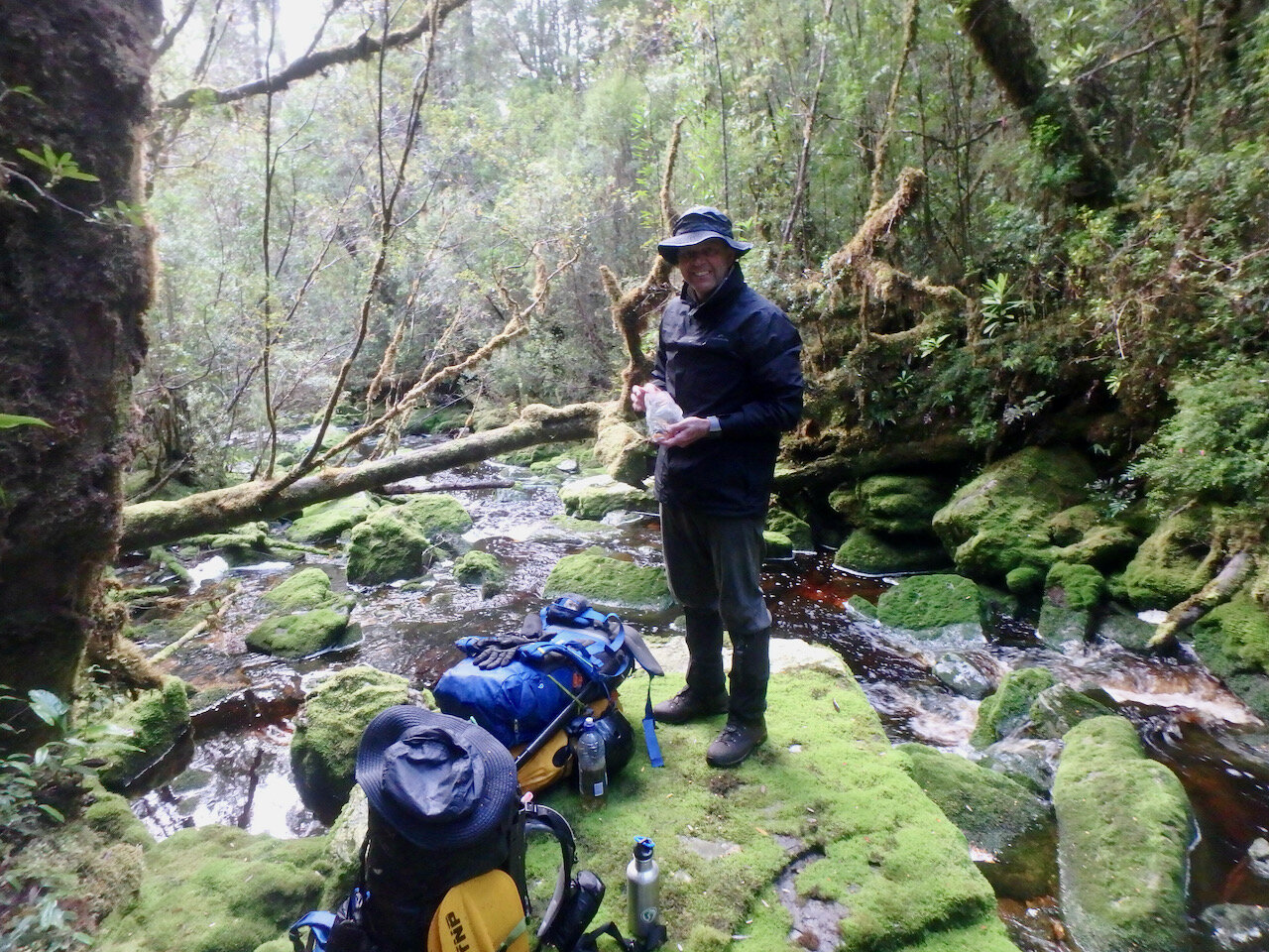
The track continues on an immediate uphill path directly across from where you come down to the creek. After the very initial climb the track may appear to veer right, but it continues uphill to the left. You’ll then go down again to a second creek crossing.

The track is reasonably obvious as you climb up to the next ridge. Unfortunately on top of the ridge is where we lost it. Don’t do what we did and try to bush-bash thinking it is only 600 metres down to the Franklin. Without the track the going is impossibly slow.
It seems at this point there are in fact two tracks leading down to the Franklin. We heard later that they had been cut from opposite ends and initial missed each other. Of course, it seems like we we ended up between the two tracks without finding either initially! But a wider clearer route is marked with blue tape, while an older and more overgrown track is marked with red tape. The two tracks meet about 100 metres from the Franklin and at this point there isa fallen tree obscuring the track that you need to continue past to follow the track to the river (we initially went the wrong way, following the blue taped track up the hill again!).
If you got this far, you are home and hosed! Rafting the Franklin is relatively straight forward.
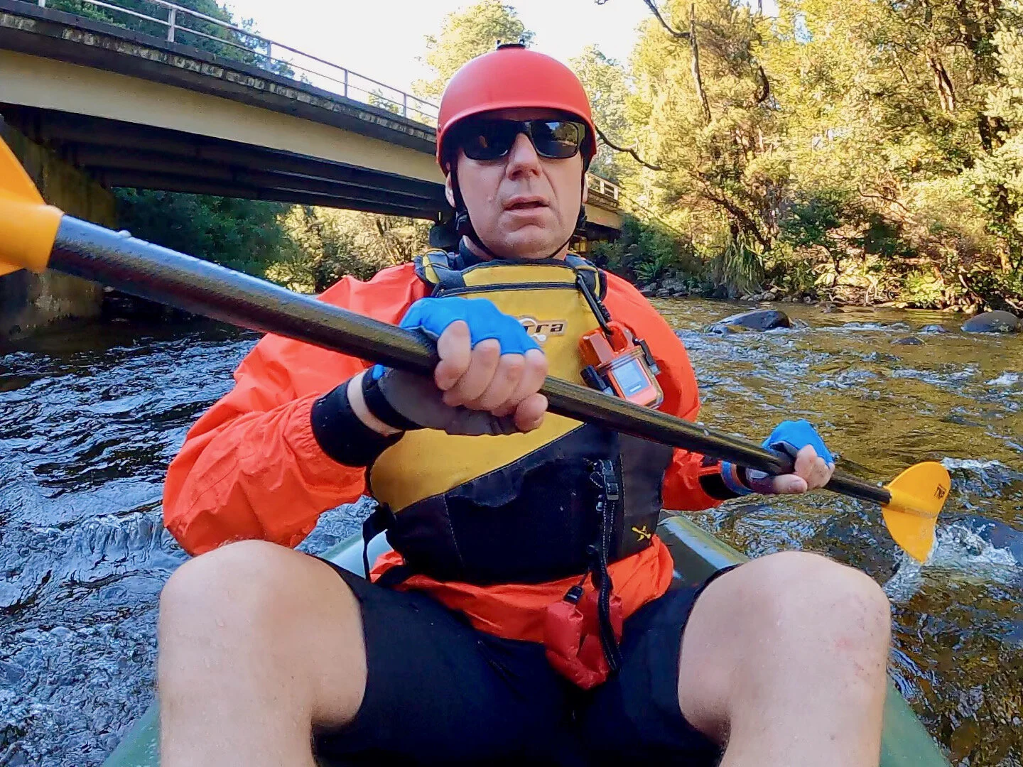
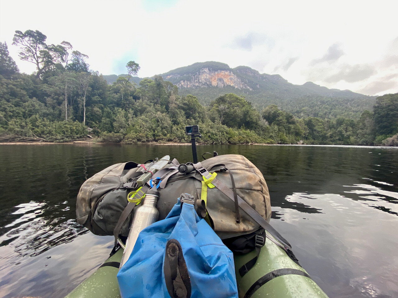
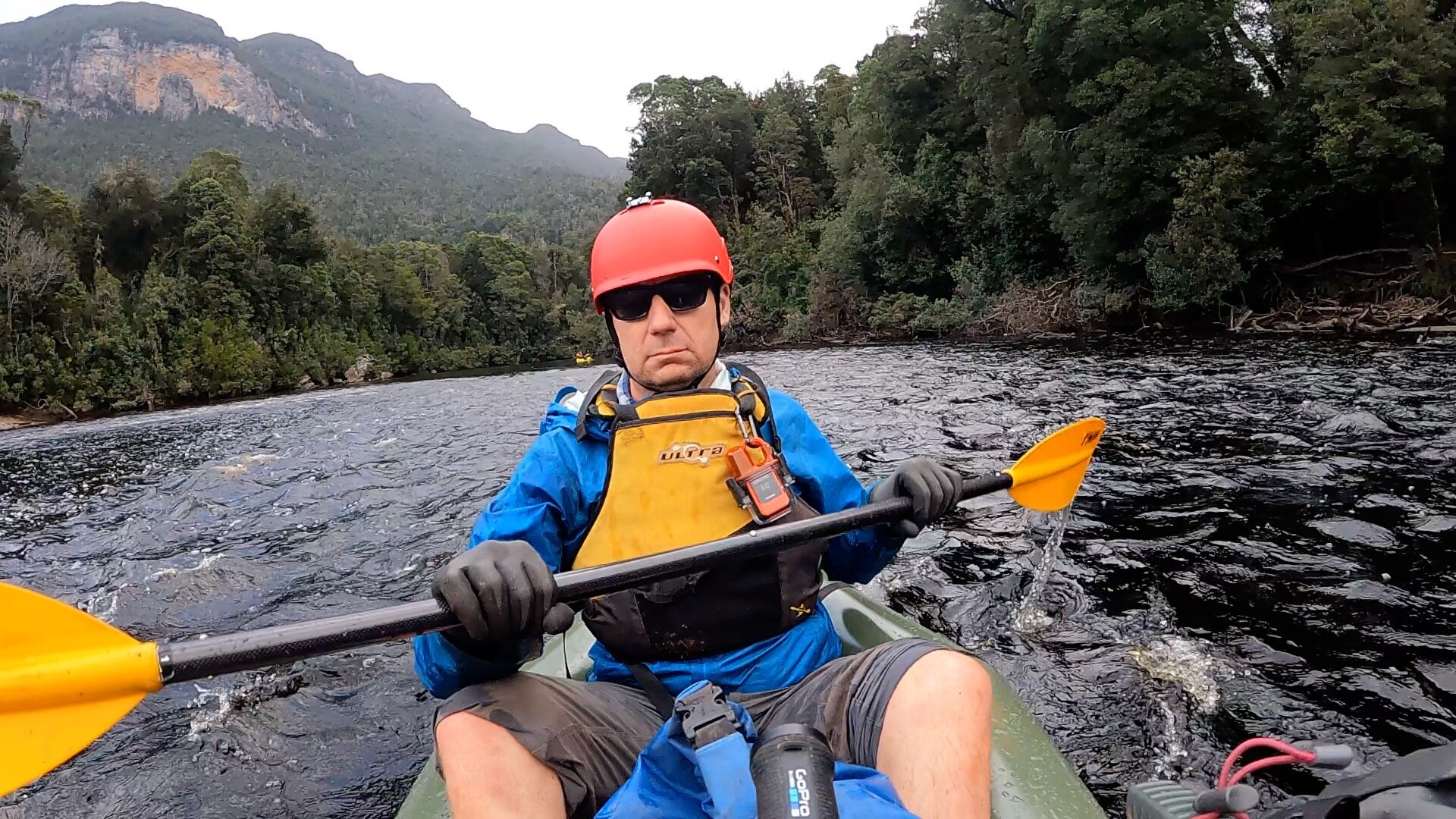
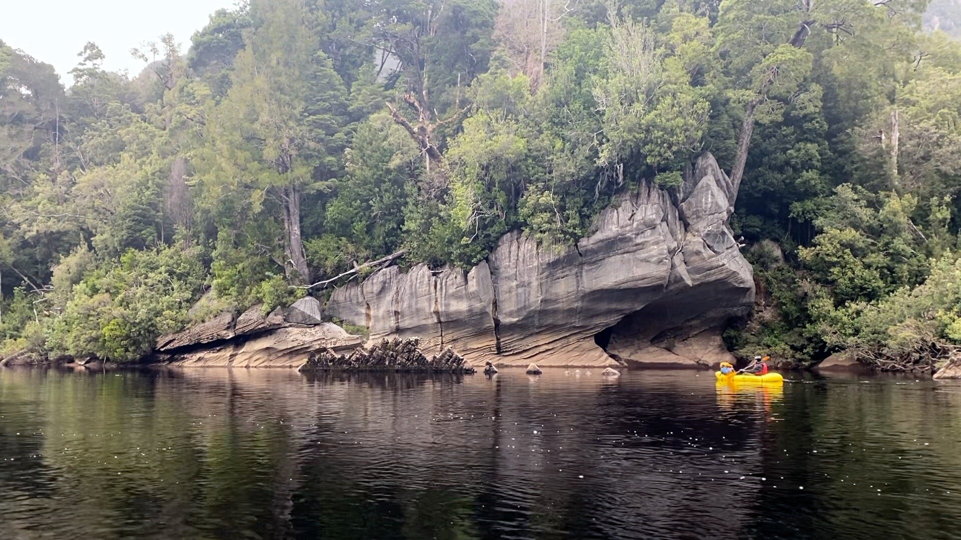
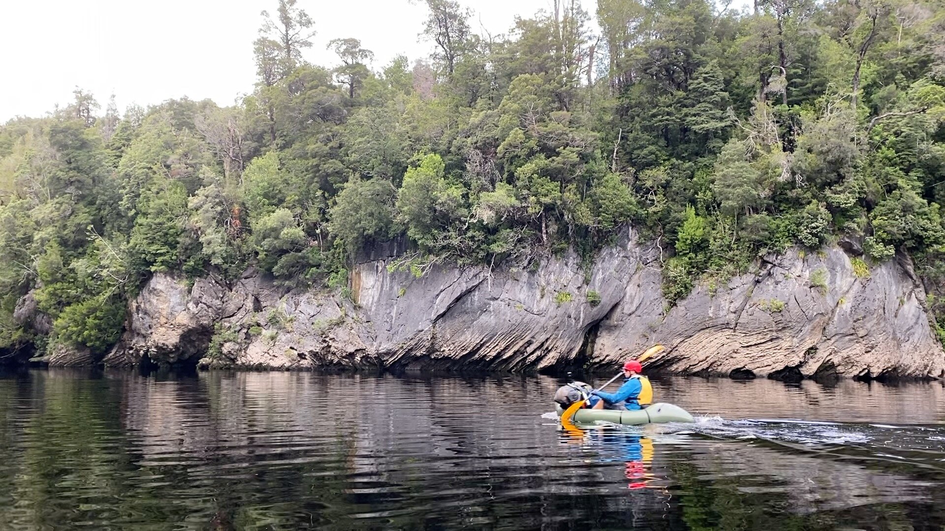
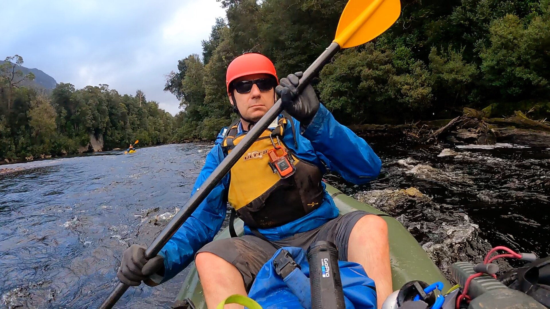
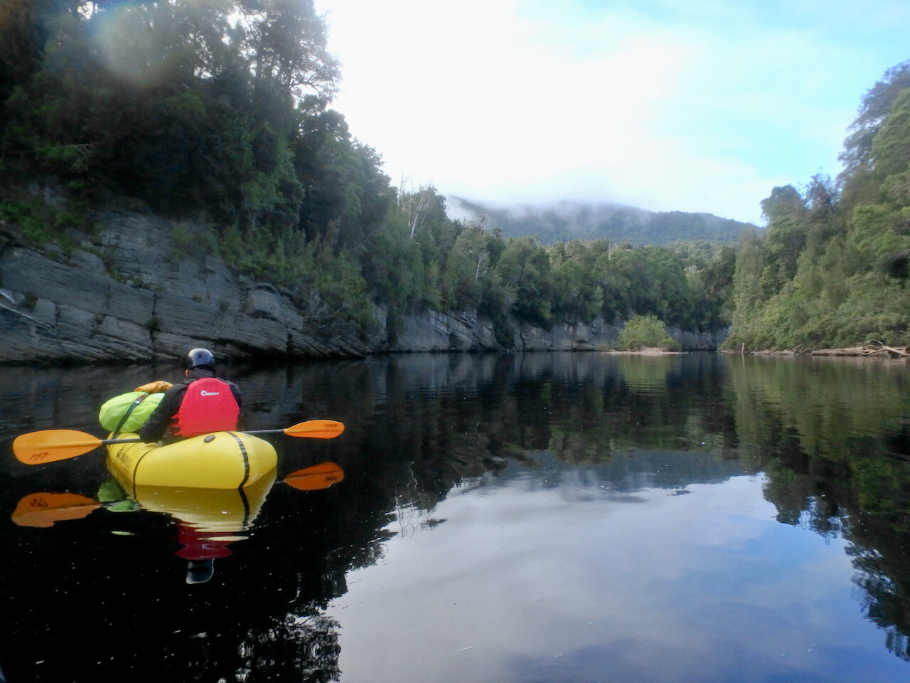
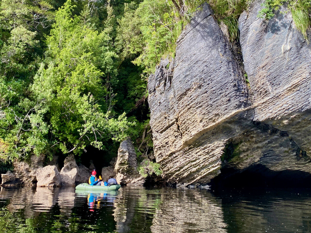
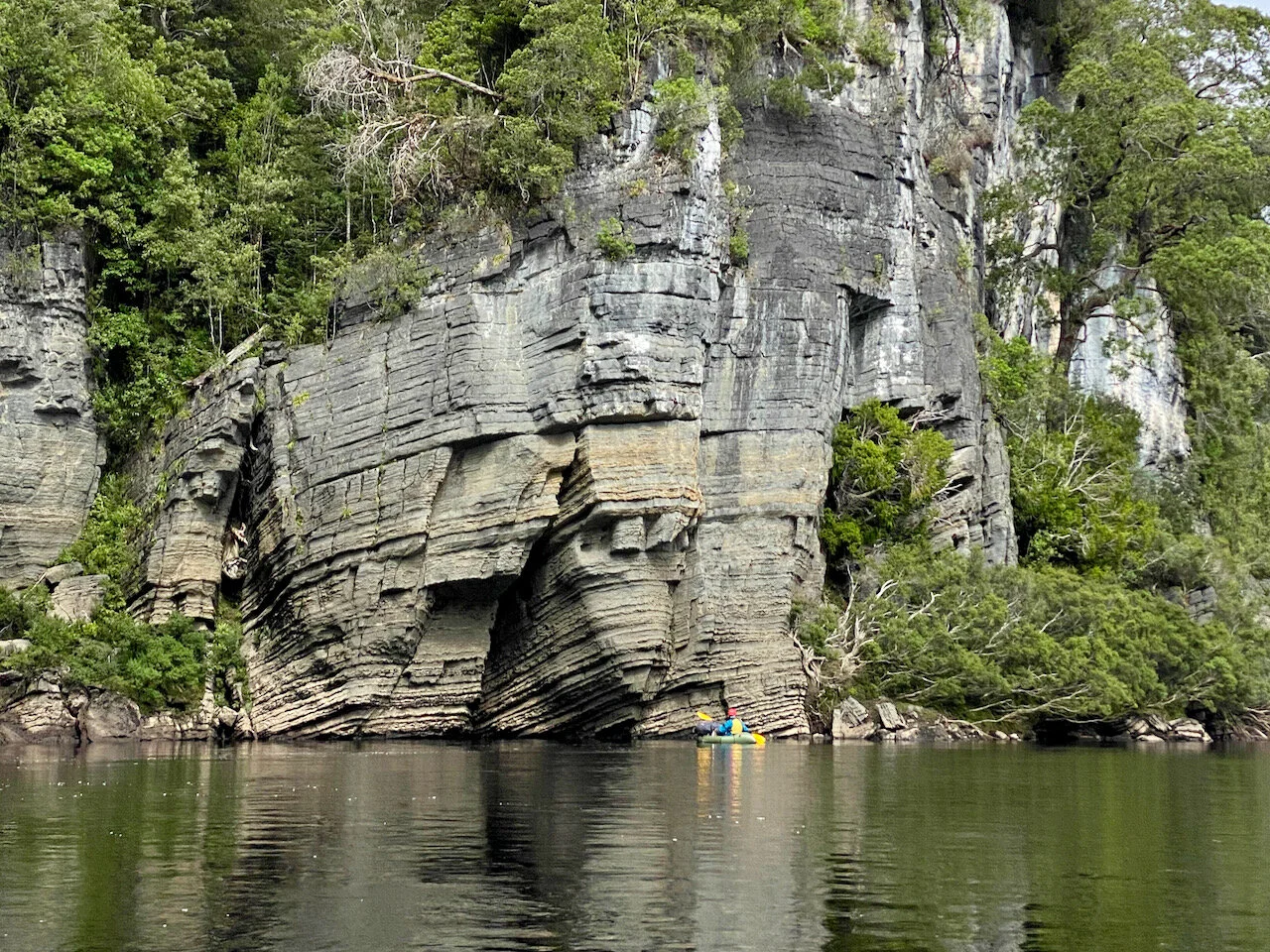
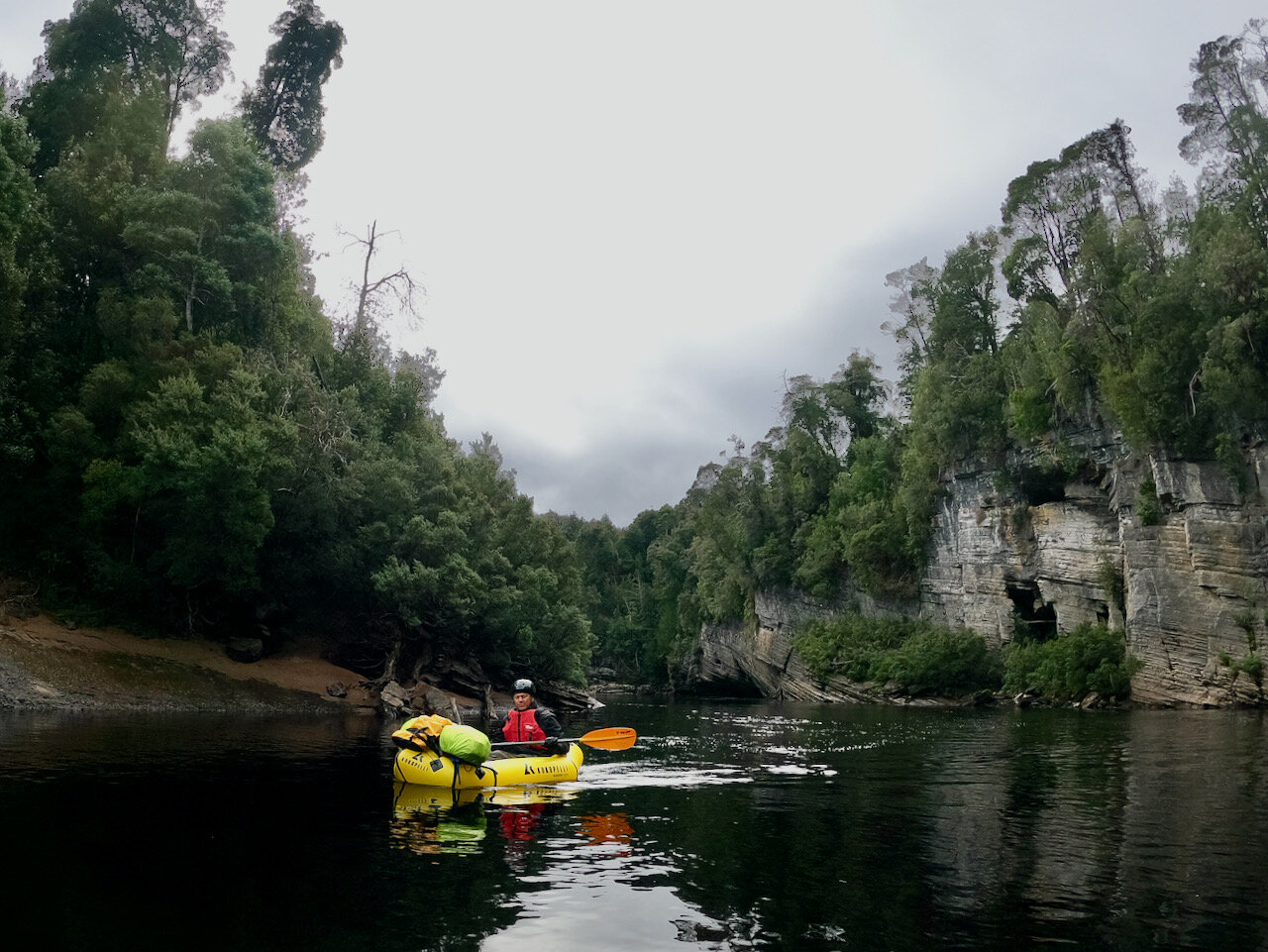
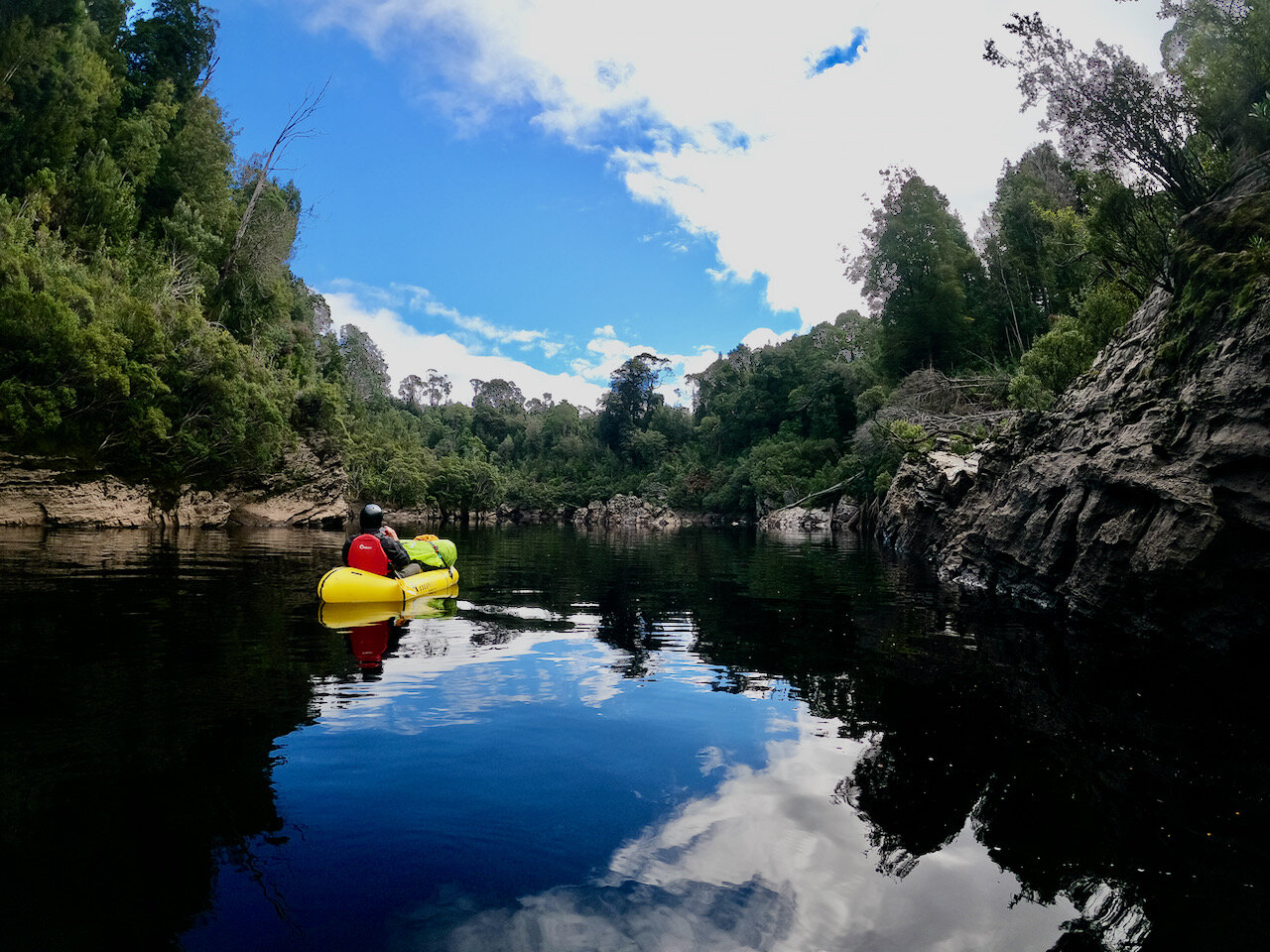
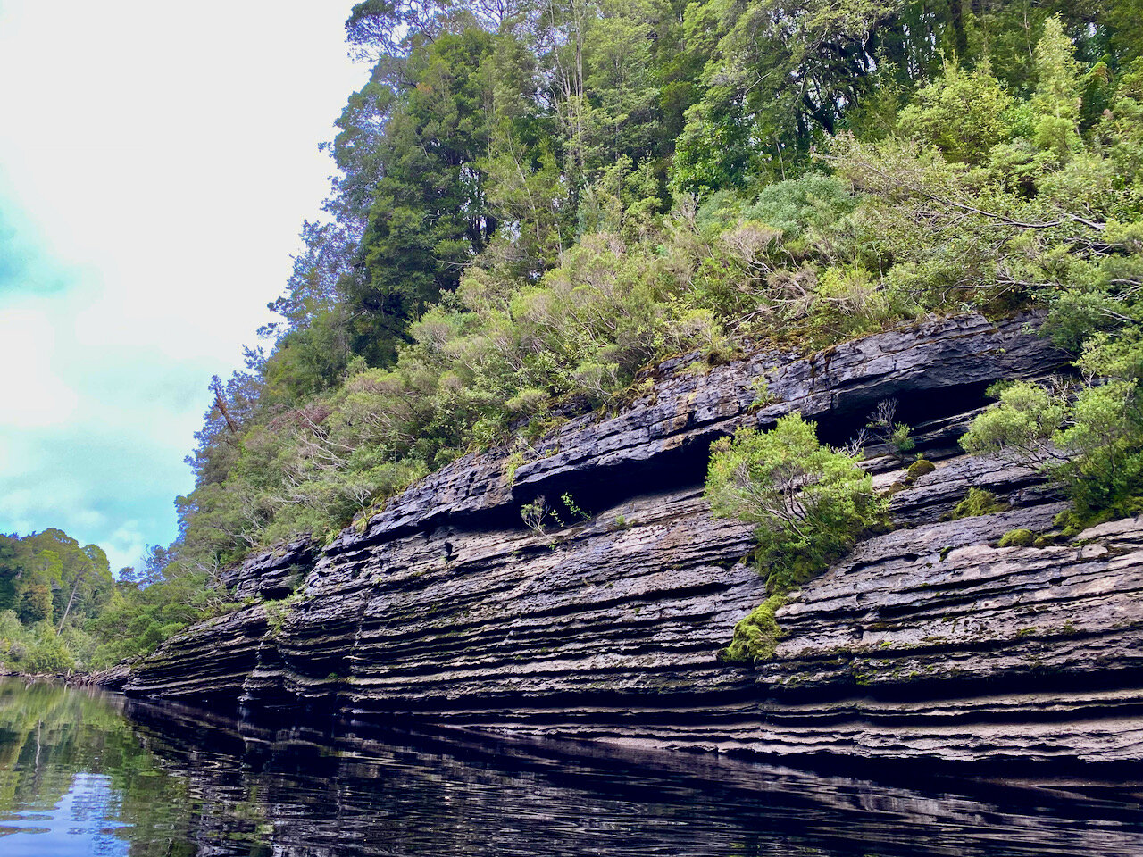
Packrafting the Lower Franklin
This section of the Franklin is an easy paddle at normal water levels (with the exception of two rapids). It is all grade 2 at most, with a number of flat water sections (excepting Double Fall and Big Fall). I have provided some notes below, with these largely being informed by the book The Ever-Varying Flood.
In regard to water levels, the Hydo have a water flow gauge on the Franklin River at the Mt Fincham Track. Unfortunately, I didn’t go back to the plot in time to get the specific level when we did it, but I think it was between 1,000 and 2,000 ML/day. A page on the Franklin River Rafting site advises that dividing the ML/day by 86.4 will provide the water flow in Cubic Metres Per Second (CUMEC). Their rough guide to the river is:
3 Cumecs = very low
12 Cumecs = happy days
200 Cumecs = Whoop Whoop, better stay in camp.
The map below gives an overview of the major points of interest along this section of the river.

Click map for PDF version.
We initially set off from the Franklin end of the track:

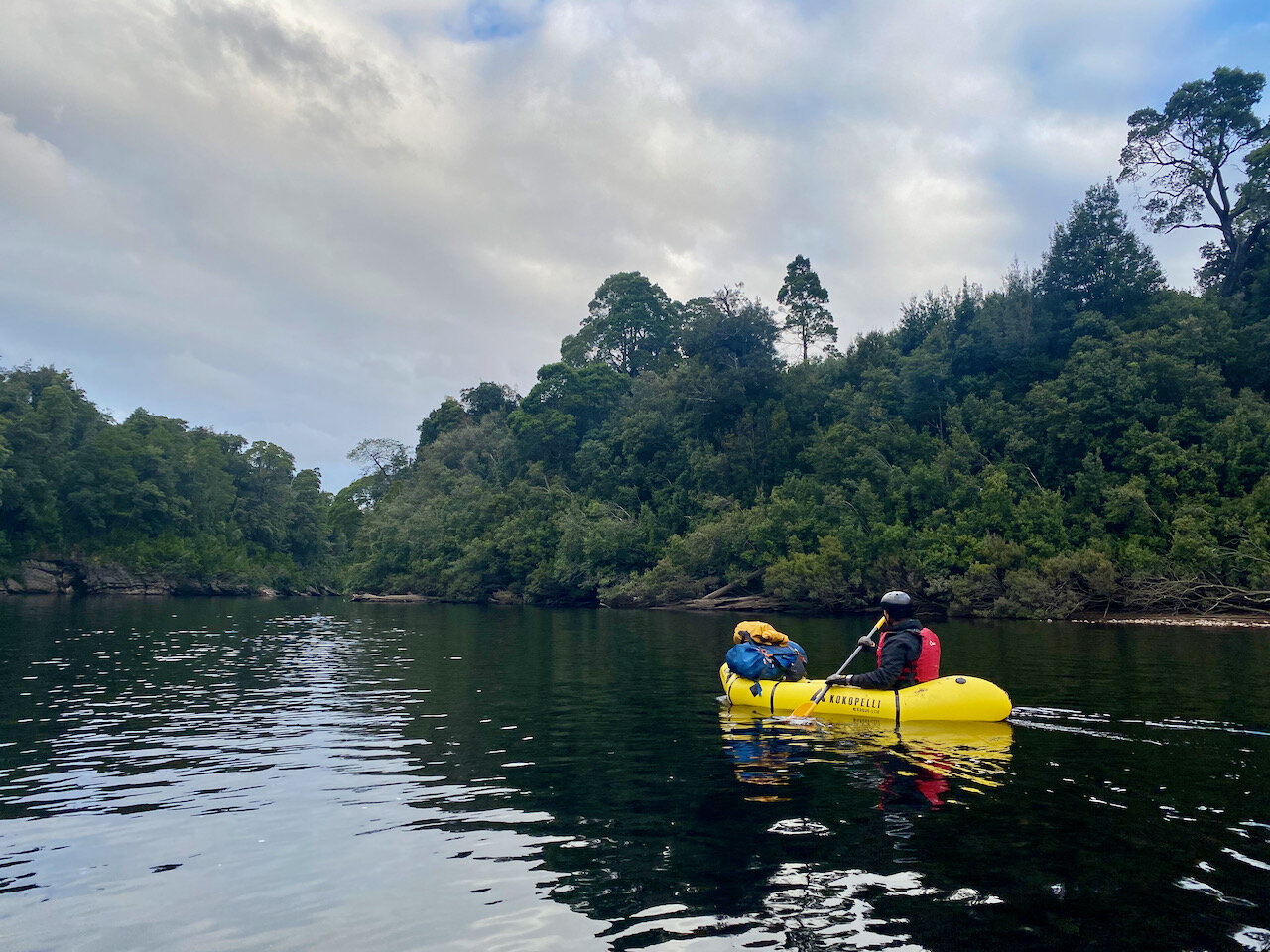
From here to where we camped the first night at Blackmans Bend, with the water to this point either being flat water or moving water without rapids of note. The camp site is located on the inside of an accute left turn in the river (i.e. on river left). A track leads up to camp from a tiny sandy beach (i.e. basically only the width of the track).
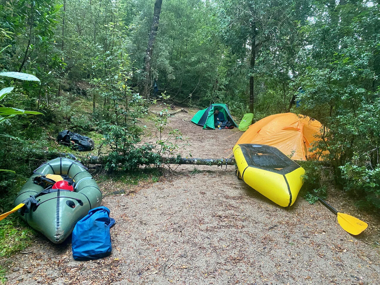
Camp site at Blackmans Bend.
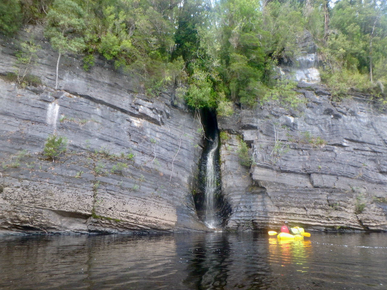
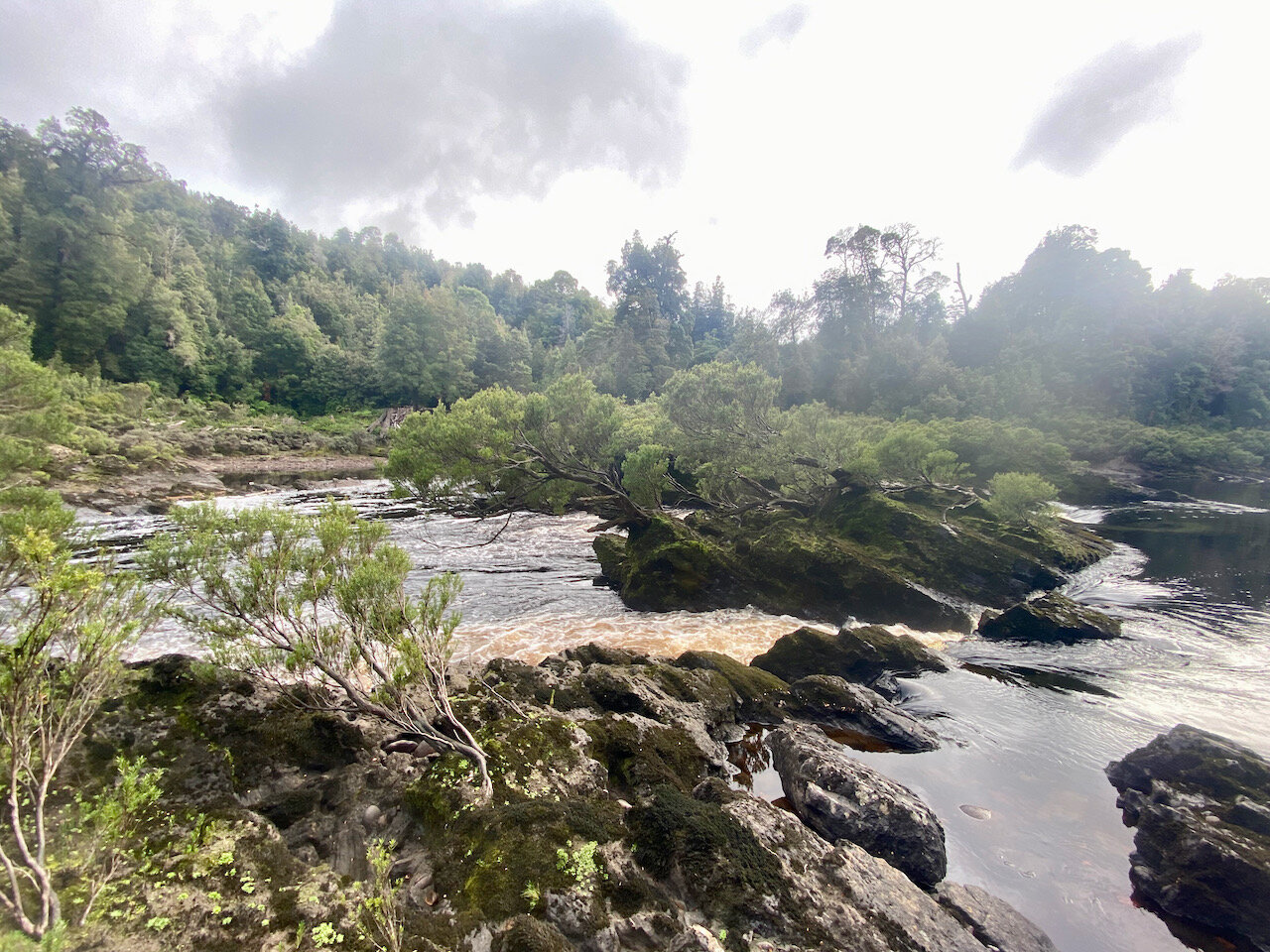
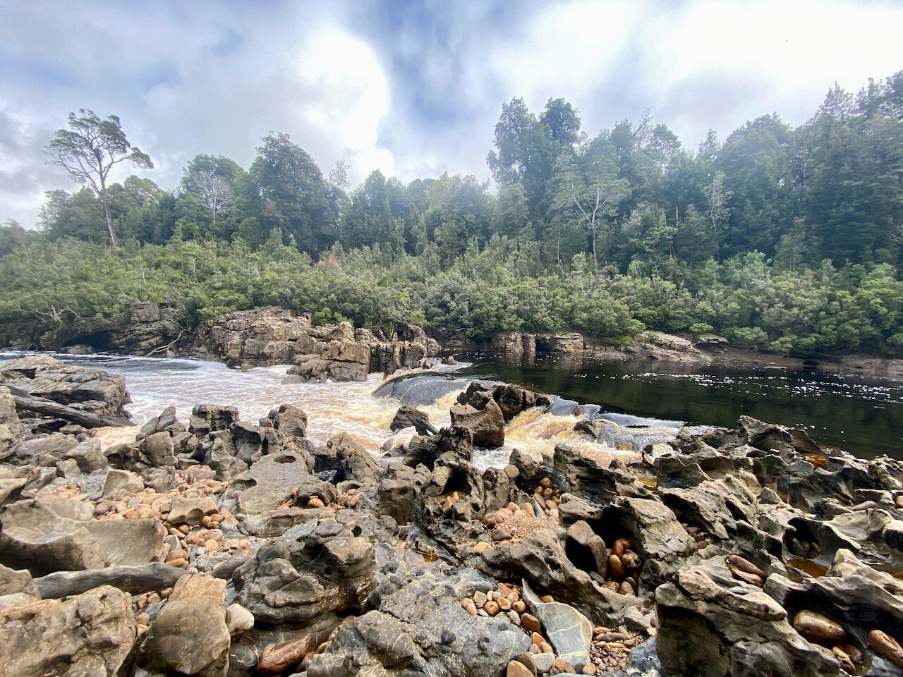
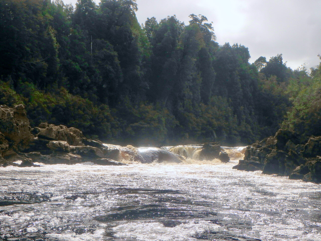
The next day we paddled all the way to the end of the Franklin and down the Gordon to Sir John Falls, where we ended our trip. This section has a number of relatively minor rapids, with the exception of Double Fall and Big Fall, which are at most grade 2. We had no trouble negotiating any of them.
The location of the Double Fall rapid is marked on the above map. It consists of two drops and we portaged this along the left bank.
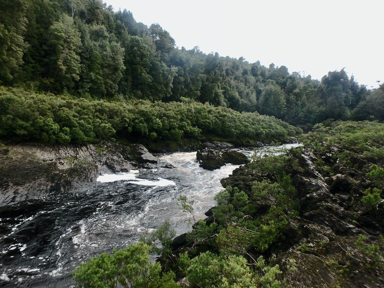
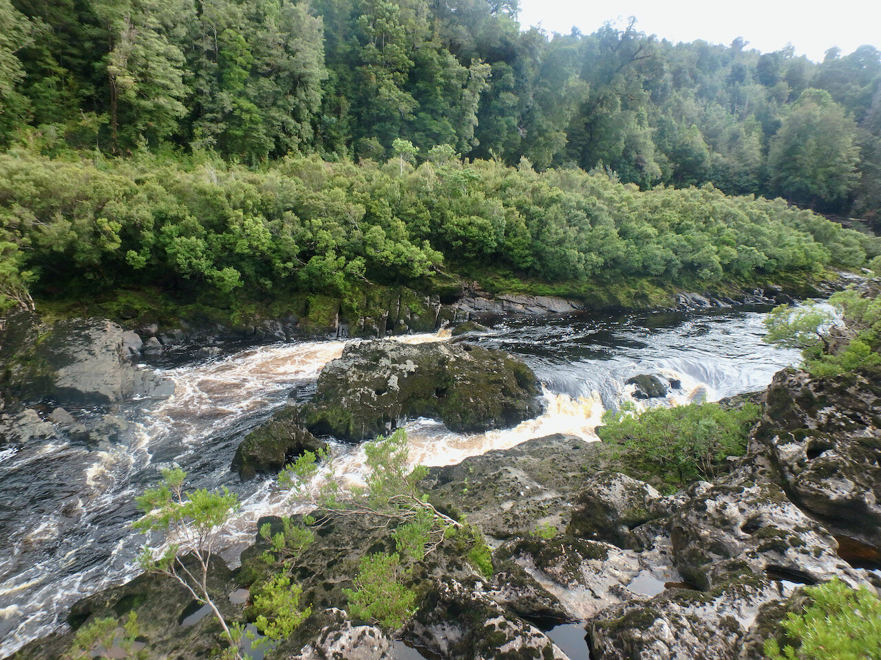
The next major raid id Big Fall (also marked on the above map). Several people have died on this rapid, so it is important to portage it, which we again did on the left bank.
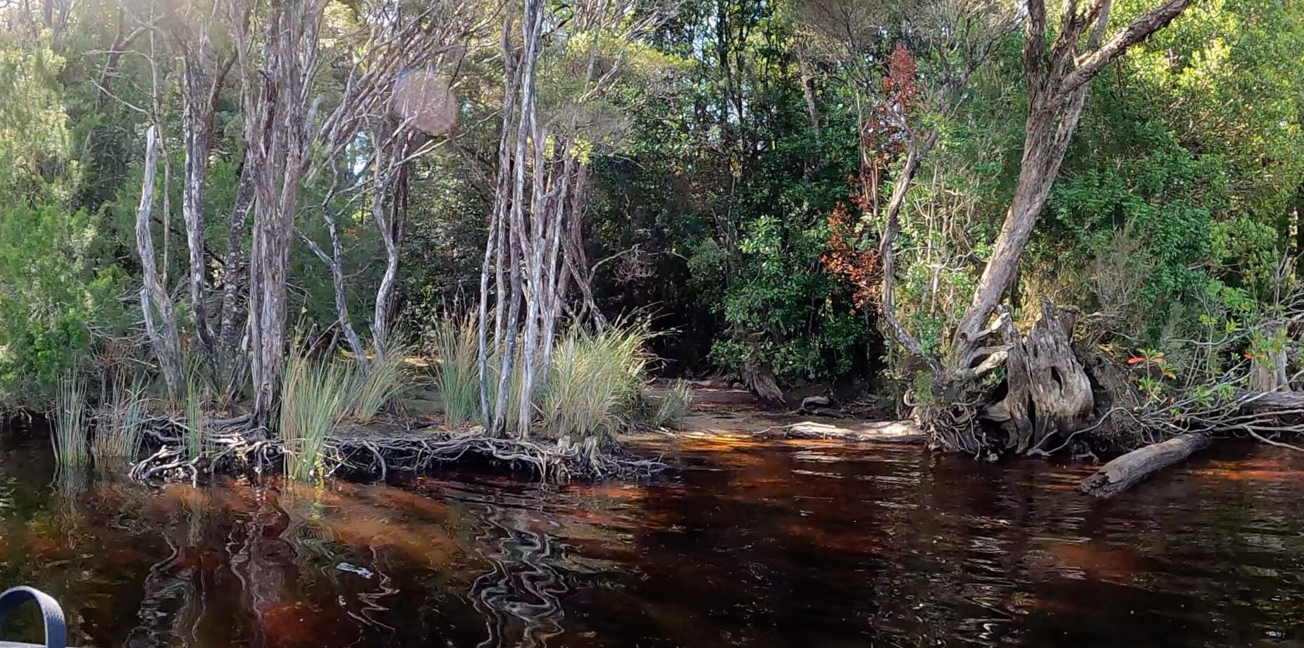
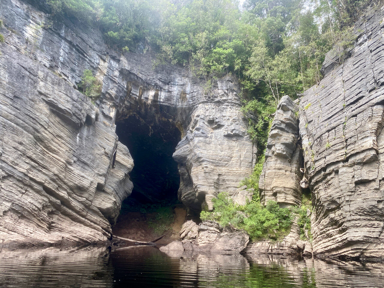
Once you make it to the Gordon, you are back on flat water and there are no further obstacles. Unfortunately we didn’t make our planned stops at Kutikina Cave or Pengana Cave, so I have no notes on them.
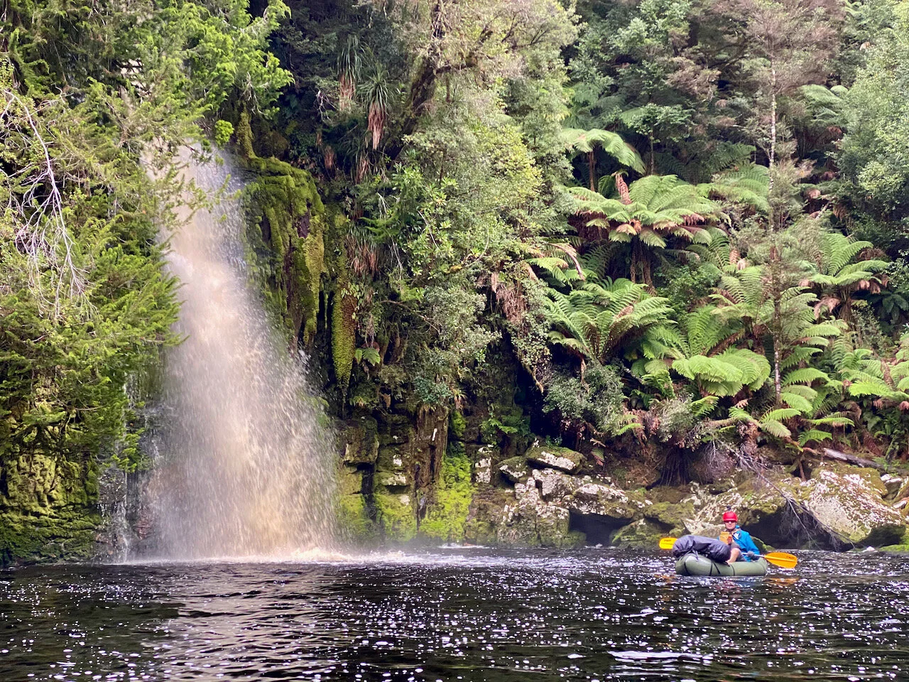
Sir John Falls.
Hopefully these notes help should you plan to do this trip.