

Franklin River – Franklin River Nature Trail to Frenchmans Cap Suspension Bridge
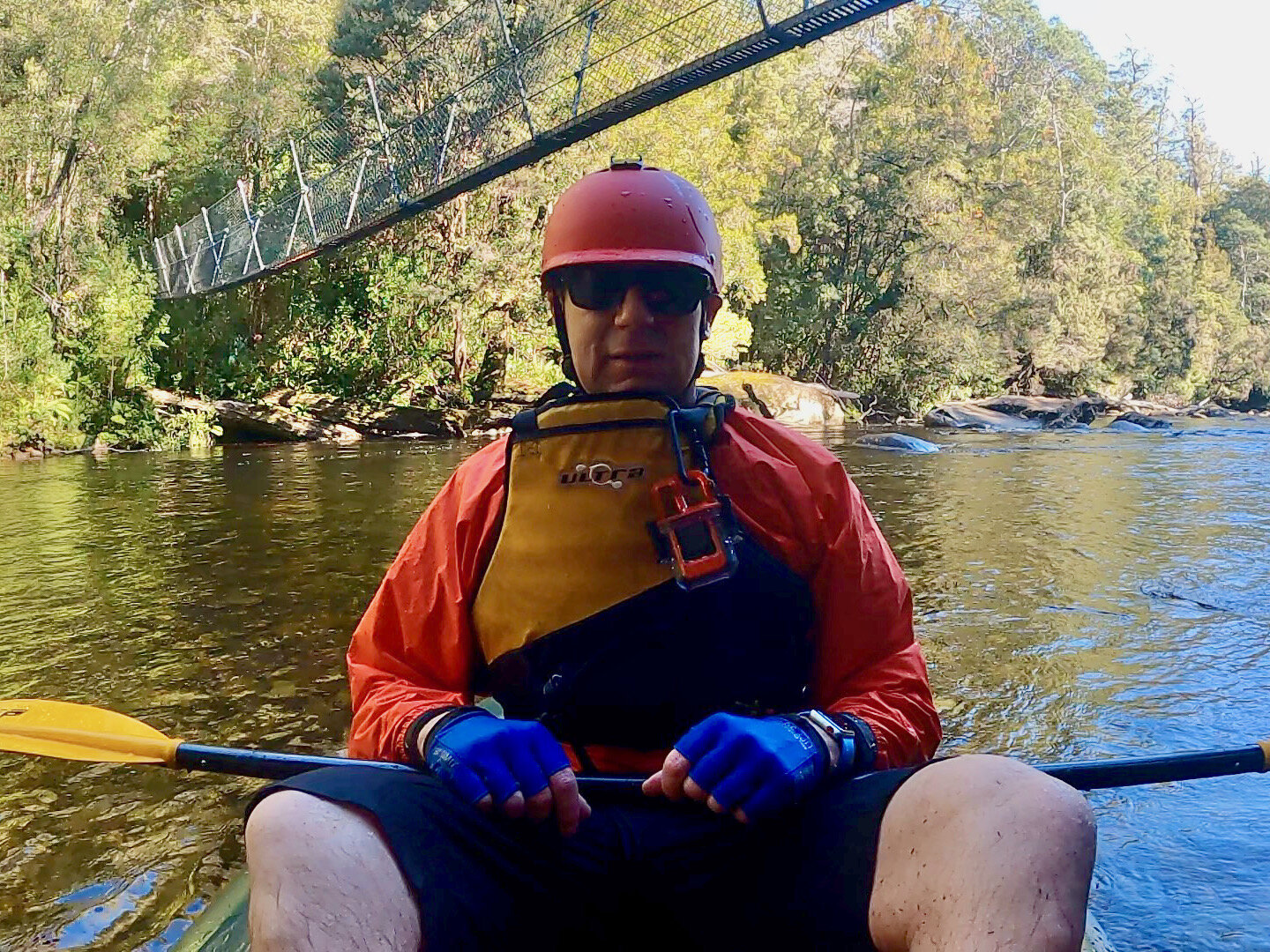
On Friday the 30th of April 2021 I used the packraft to explore an upper section of the Franklin River in Tasmania from the Franklin River Nature Trail to the Frenchmans Cap Suspension Bridge.
Distance: 4.5km (1 hr and 45 mins).
Grade 2 .
Water level: low – there is no gauge (Advice I received before the trip was that if the put in looks only just paddleable, then the height is right, but if it looks raging, steer clear).
Getting There
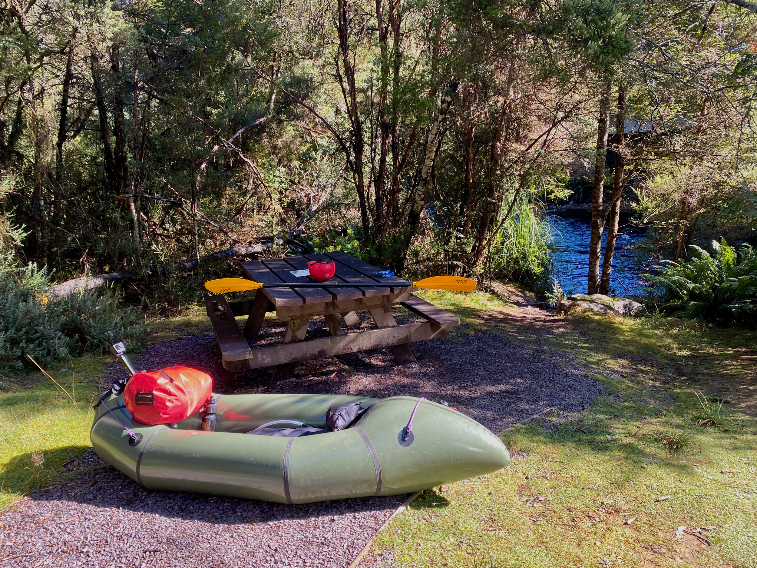
As this is only a very short section of river, I used my bike to ride to the put in point at the Franklin RIver Nature Trail, after parking the car at the Frenchmans Cap Track car park (take out).
Paddling the River
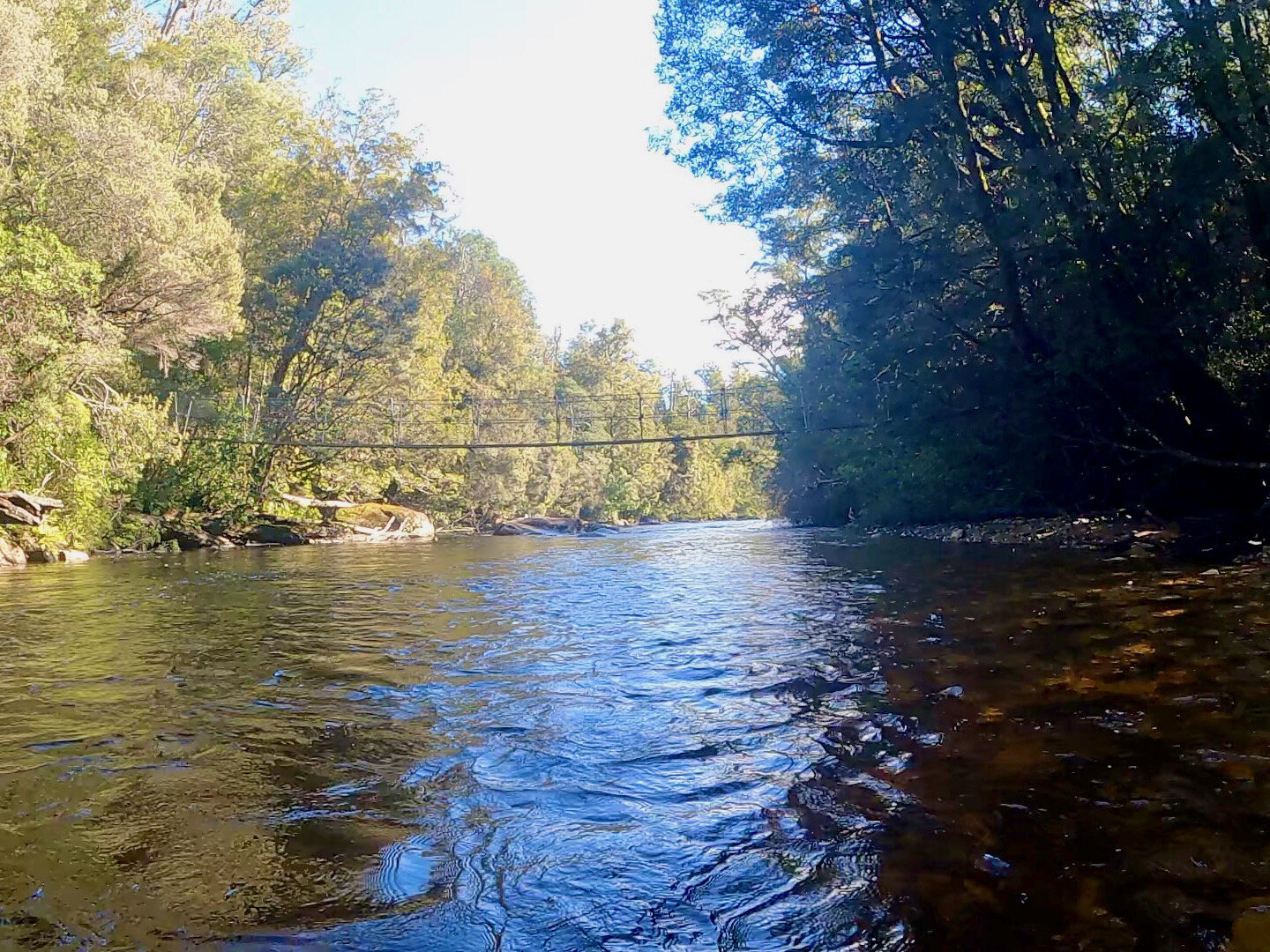
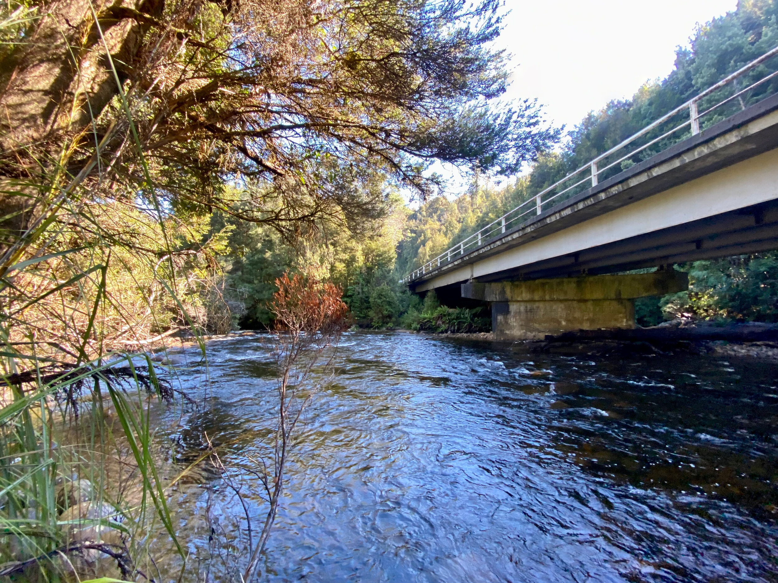
There is a clear put in near the picnic table at the Franklin River Nature Trail, just underneath the Lyell Highway bridge over the river.
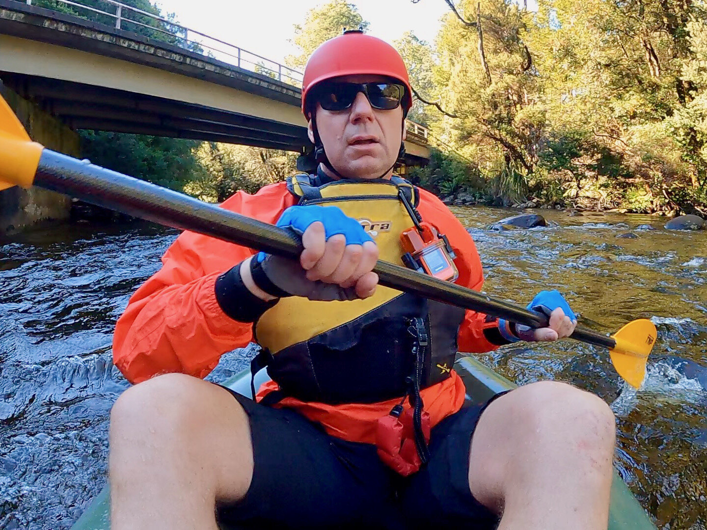
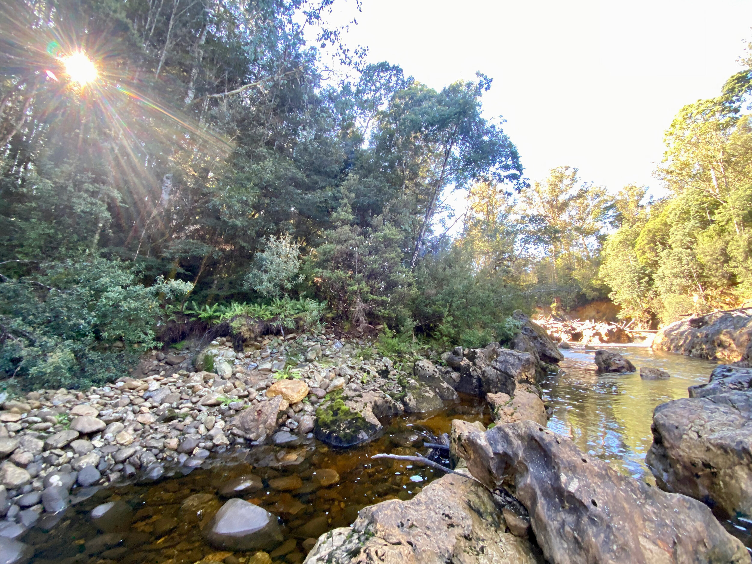
The river is very shallow here, and there were lot of occasions where I bottomed out. However, on reaching the confluence with the Surprise River, the water volume increases. Shallow water was a feature through most of the trip though and along with it the fact that the water is reasonably fast flowing.
At 2km exactly from the start, just past a vertical 5 metre high bank on river right, is a major log jam. It was easy to spot, and at the water level I had, easy to inspect without any danger of being pulled into the sieve.

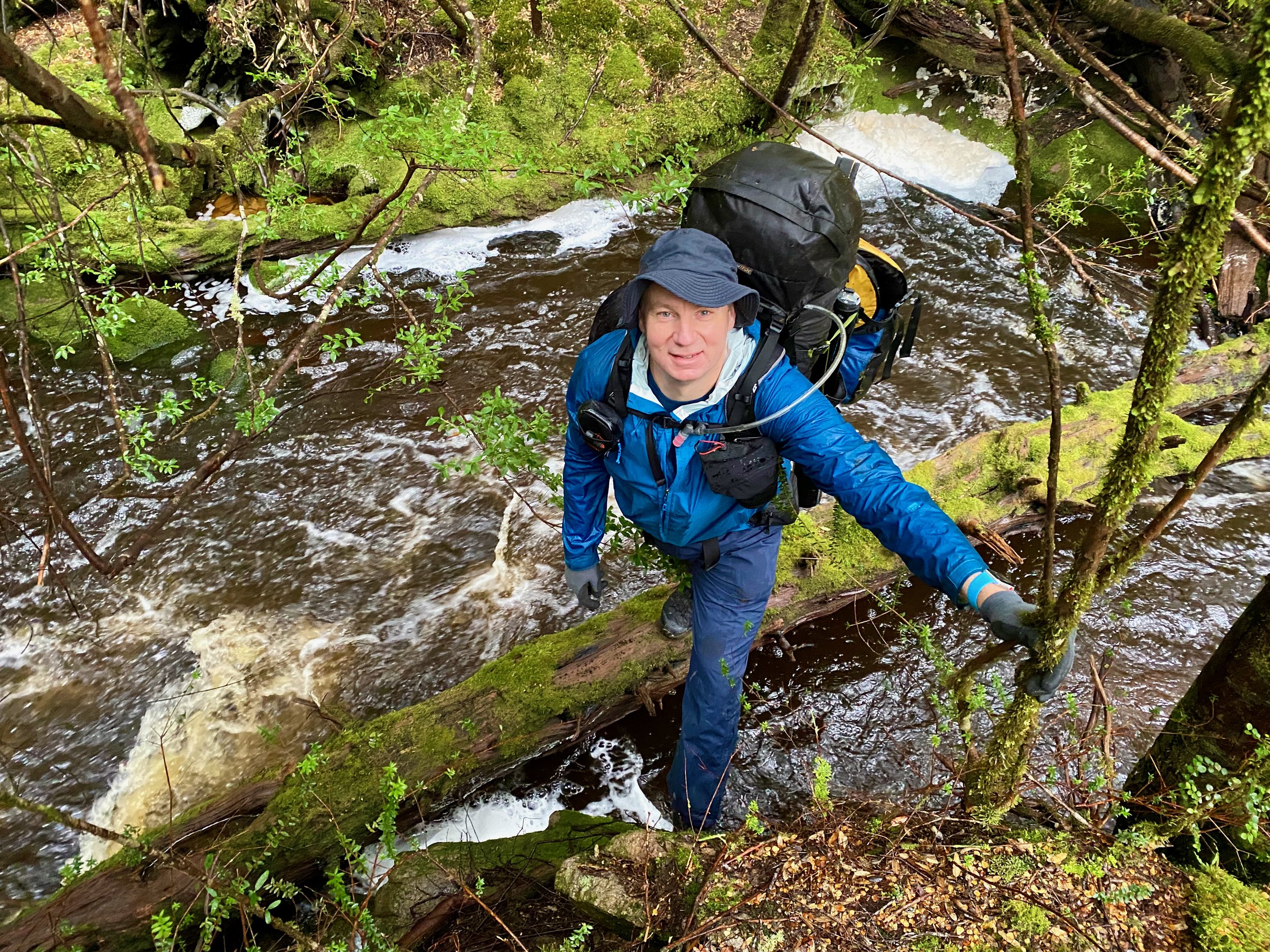
Following advice I received before I did the trip, I portaged on river right, as apparently the left is very narrow. This involved an initial walk up the embankment and then through a section of bush (probably 100 metres all up). The bush section was fiddly, as it involved navigating over lots of fallen trees, with ferns growing up between them which made it difficult to work out where to put your feet (the second photo below is looking back after the portage, with he bush section you have to navigate through on the left of the image).
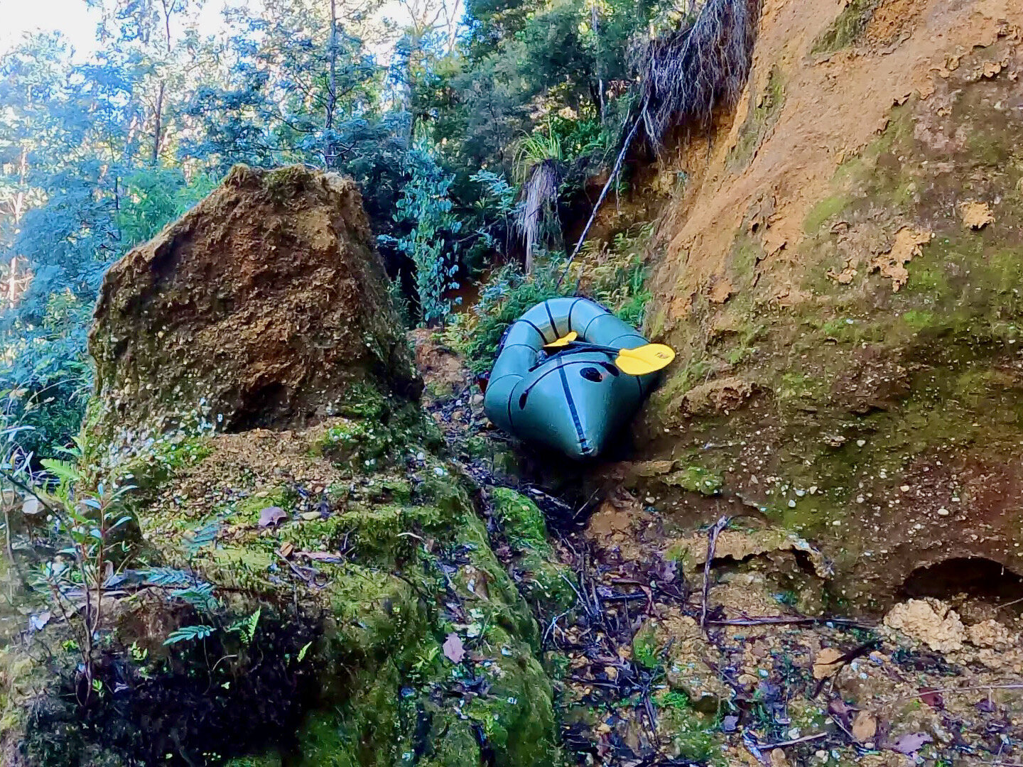
About another kilometre on from here I encountered another log blocking the river completely. However, this was also easy to spot and eddy out before hand, with a quick and simple portage around on river left.

A bit further on from here another couple of logs created an interesting rapid, but one I ended up being able to navigate without issue, with the remainder of the trip to the Frenchmans Cap Track suspension bridge being pretty straightforward.