
Stacks Bluff
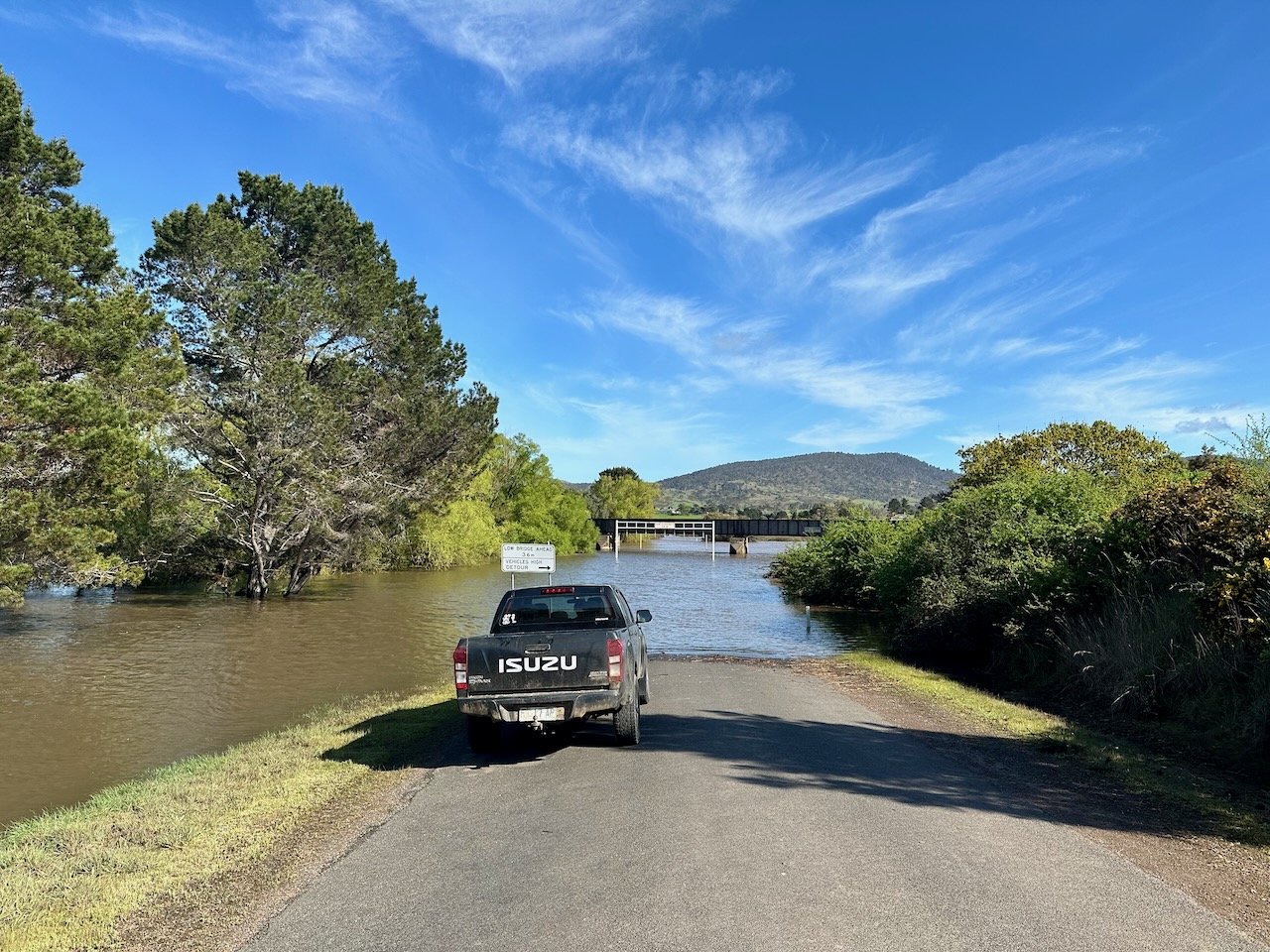
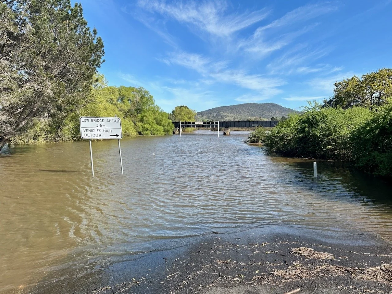
On the weekend of the 15th/16th of October 2022, Col and I had originally planned that we would hike the Higgs Track to the Central Plateau to explore Lake Nameless and Ironstone Mountain, returning via the Western Creek Track. Sadly though, flooding throughout much of Tasmania meant this wasn’t an option. So, after meeting in Deloraine on the Friday night we had to quickly come up with a Plan B.
In terms of what we thought wouldn’t be flood affected, Stacks Bluff looked like a good option (and the cover art on the That One Time In video looked stunning). So on the Saturday morning we jumped in the cars (leaving one at Perth) and drove on to Storeys Creek to make our way up the mountain. All up, it took us just over 6 hours to complete the 10.5km with 654m in elevation gain (including breaks).
Location
The track starts from Storys Creek, near Rossarden, north of Avoca. Unfortunately for us, Storys Creek Road at Avoca was flooded, meaning we had to drive all the way out to Fingal and then back along Mangana and Rossarden Roads.
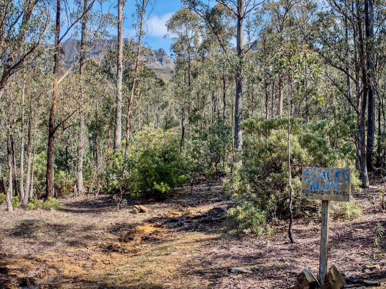
On reaching Storys Creek, a homemade sign indicated the way to the start of the track, and after a short drive up a forestry road, which was a slightly rougher four-wheel-drive track at the end, we reached the car park that was marked with another sign indicating the start of the track.
The Track
The track route is available on AllTrails. On the way up, we were a little bit off this course across the summit plateau, but found it on the descent (more on this later). The below is not the AllTrails route, but the route that we took:
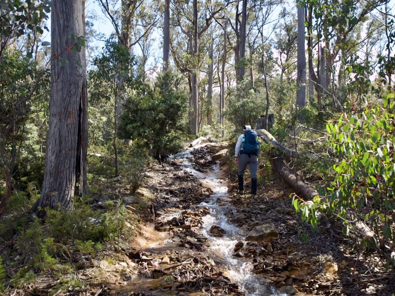
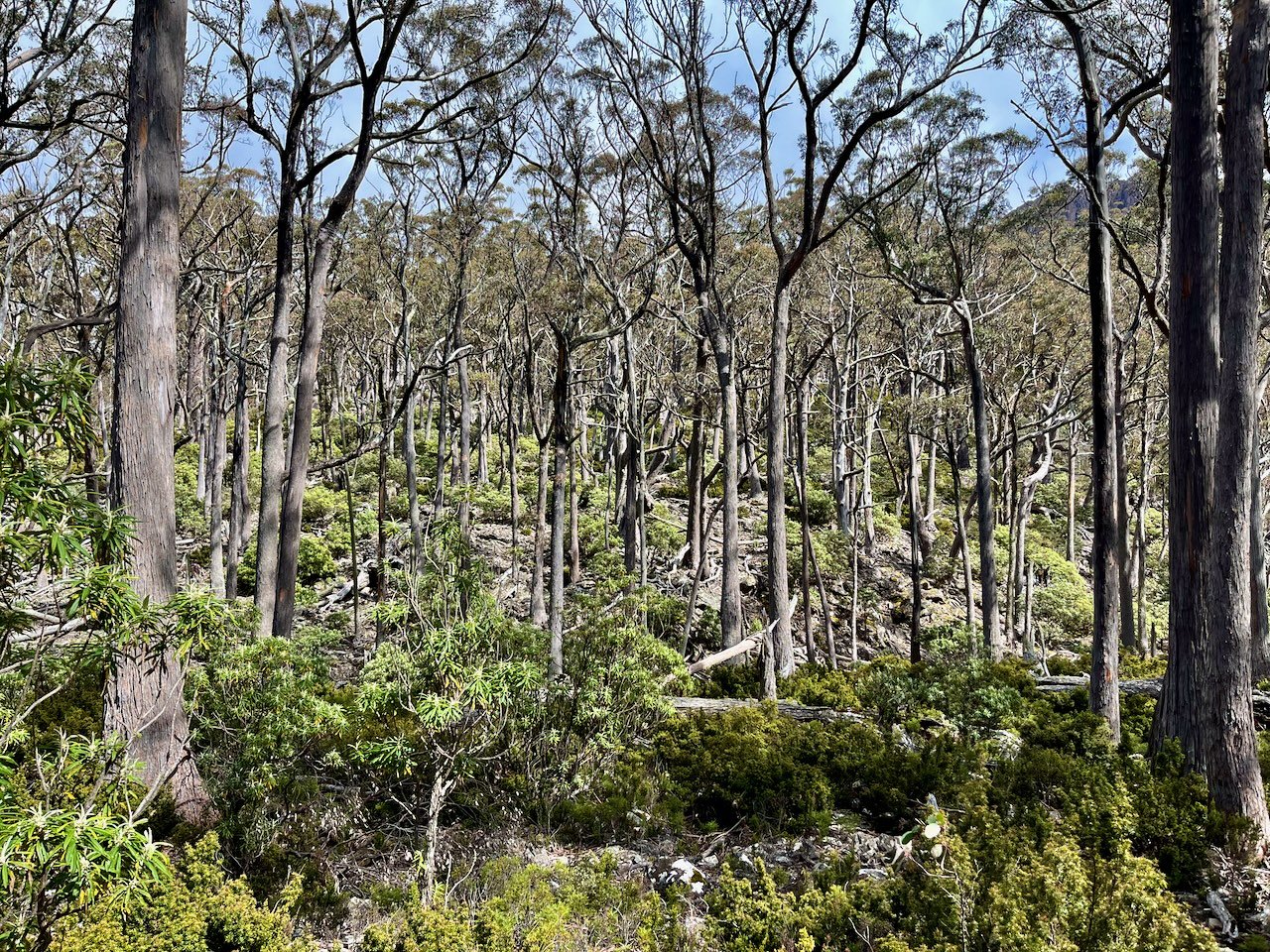
Initially the track was a continuation of the rough four-wheel-drive track, and although flooding hadn’t affected this area, we did find the initial part of the track had turned into a small stream, but this was easy to walk alongside.
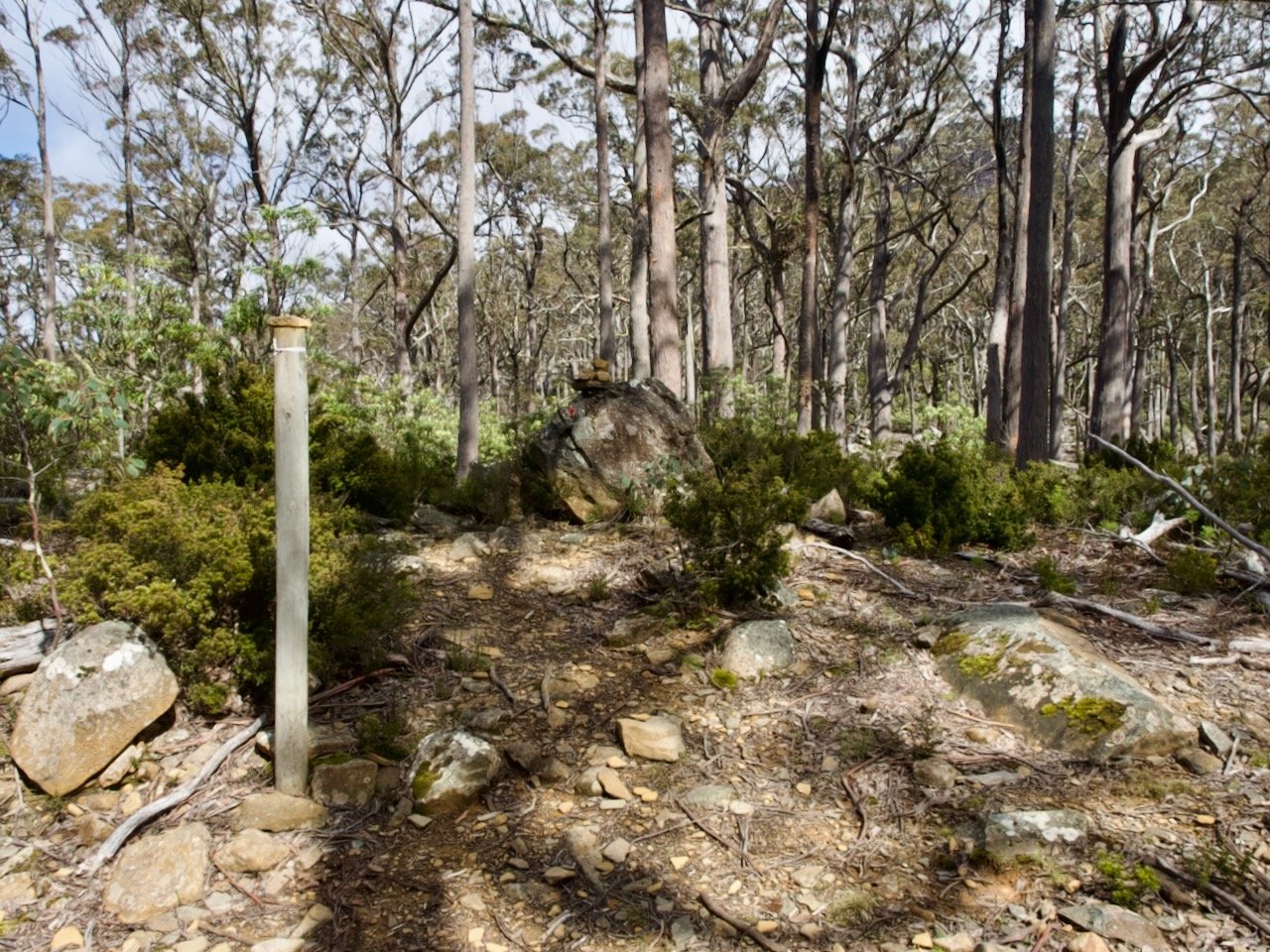
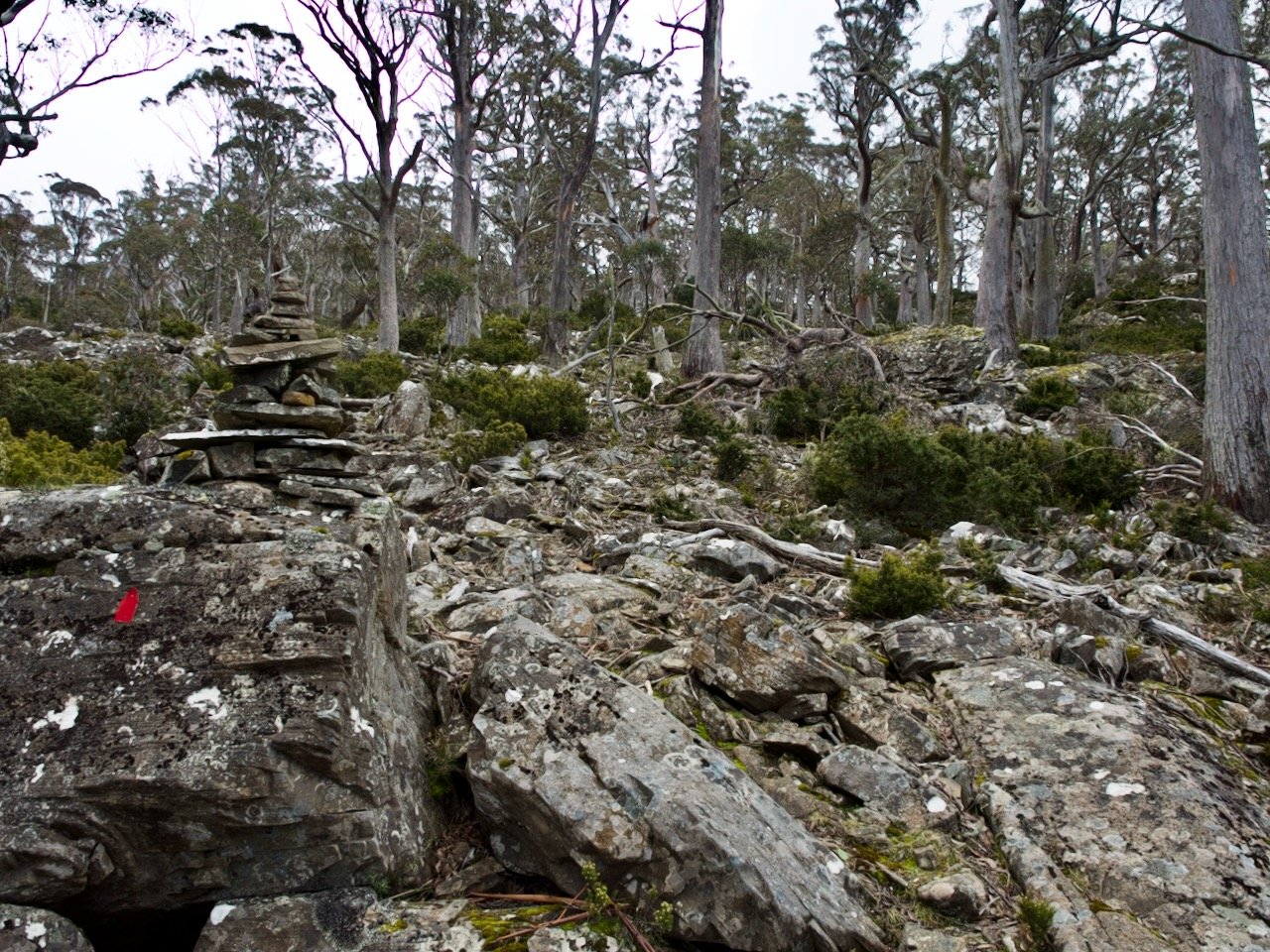
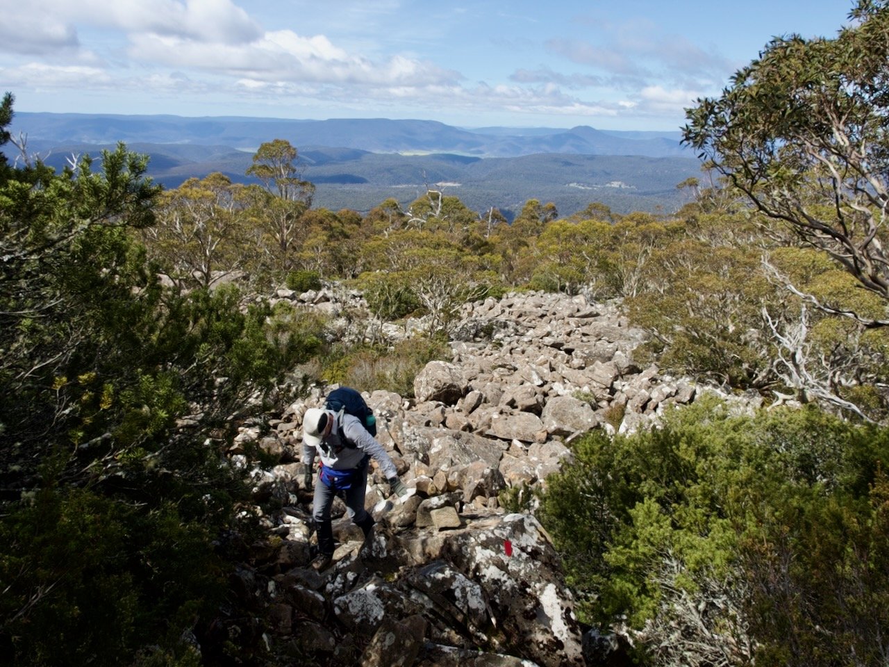
About 1.5km in the four-wheel-drive track ended and became a more simple walking track, which was often vague as it threaded through the forest, but was reasonably well marked with a combination of red reflectors and cairns.
And another 1.5km after that we reached the start of the boulder hopping, about an hour after we set out.
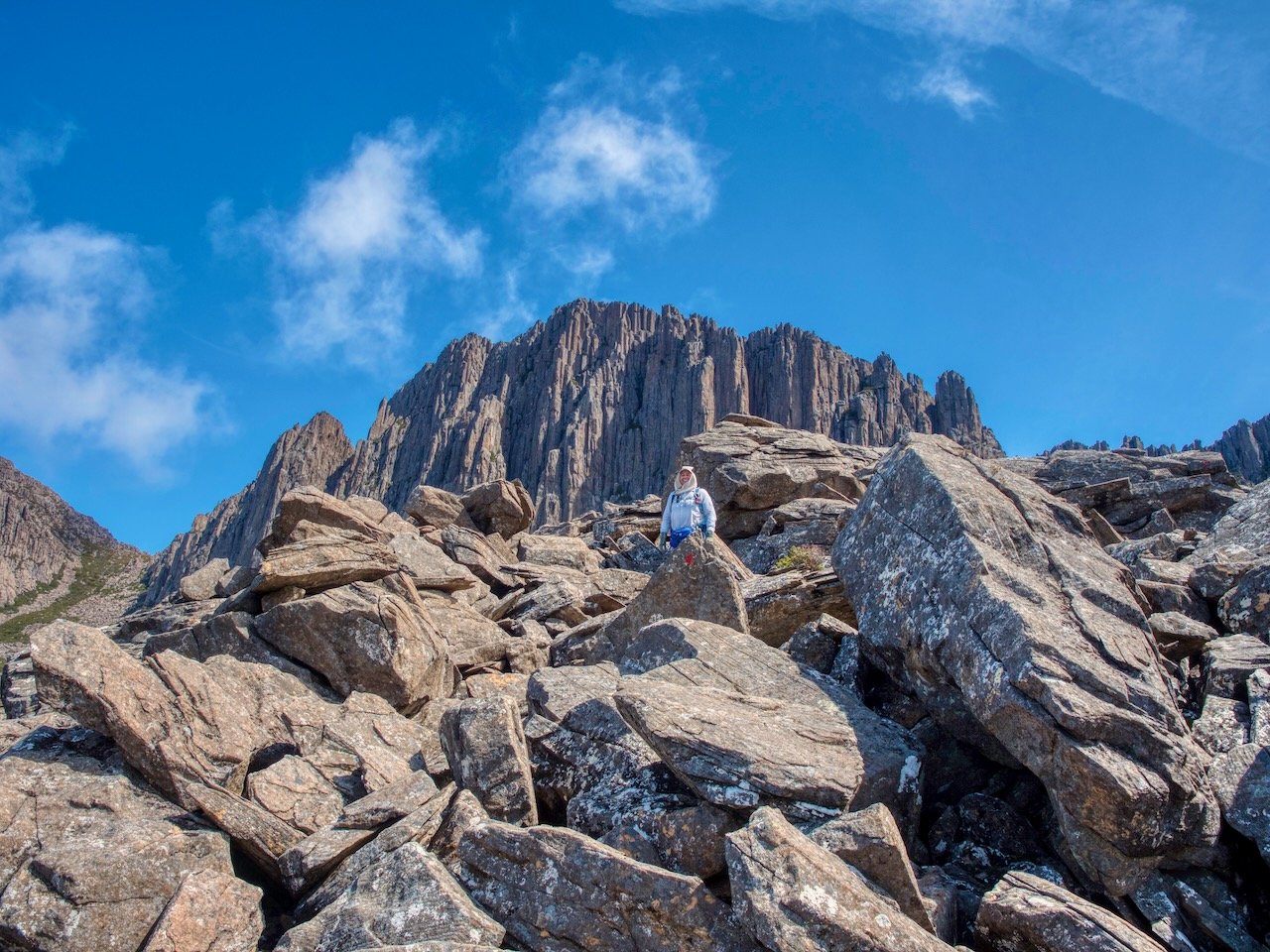
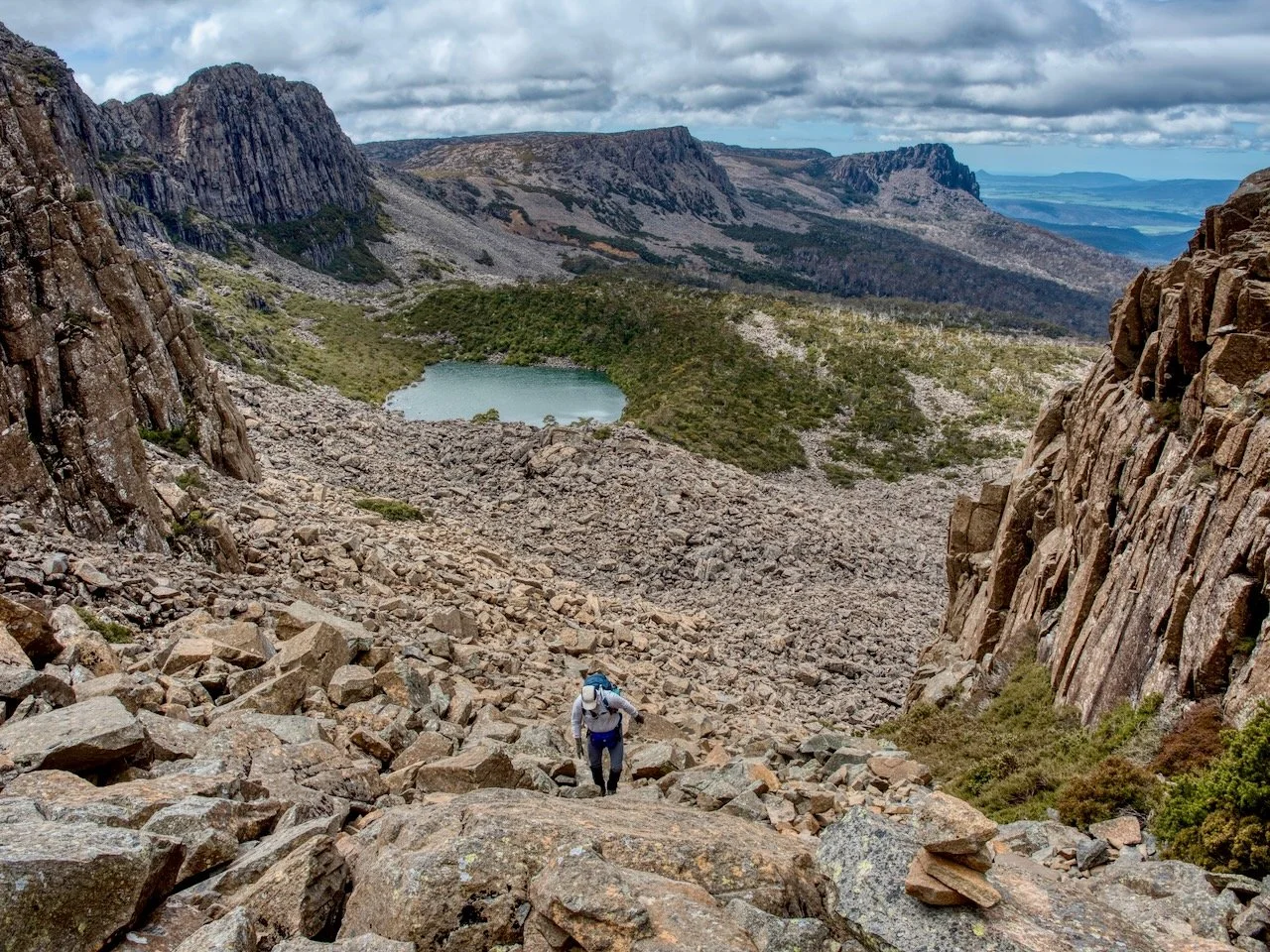
From here it was a relatively short distance to the imposing scree gully we would have to climb to the summit plateau.
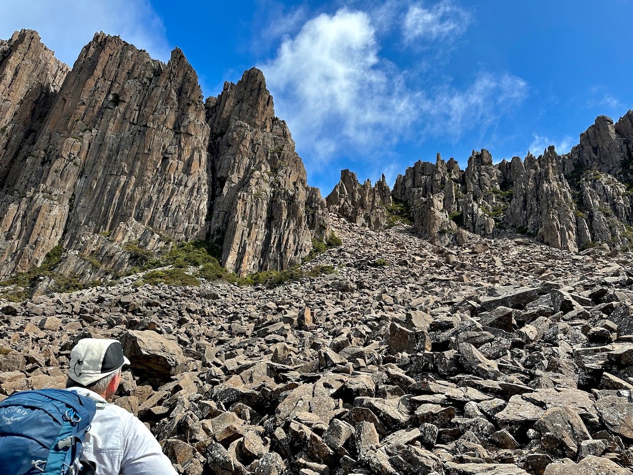

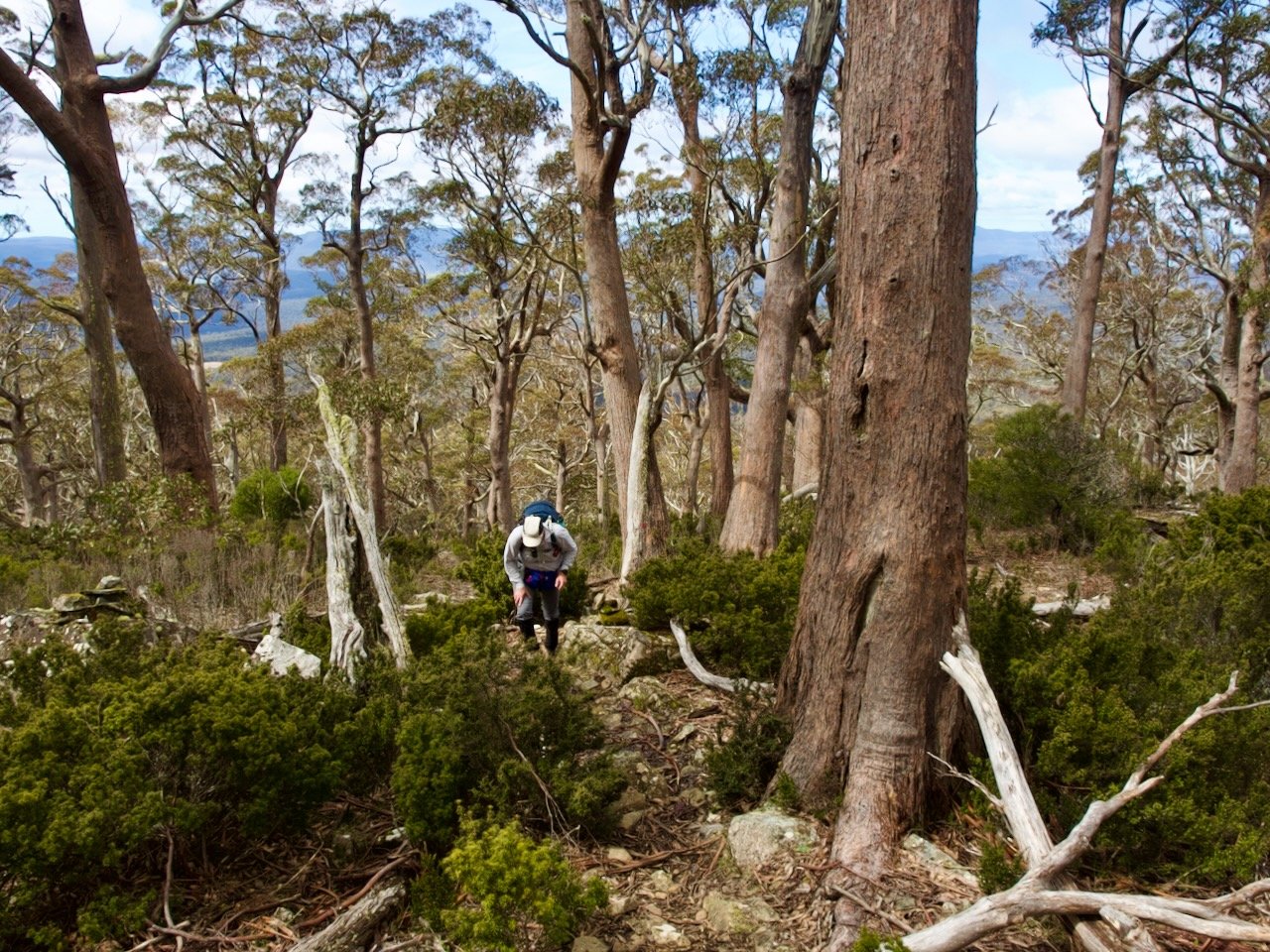
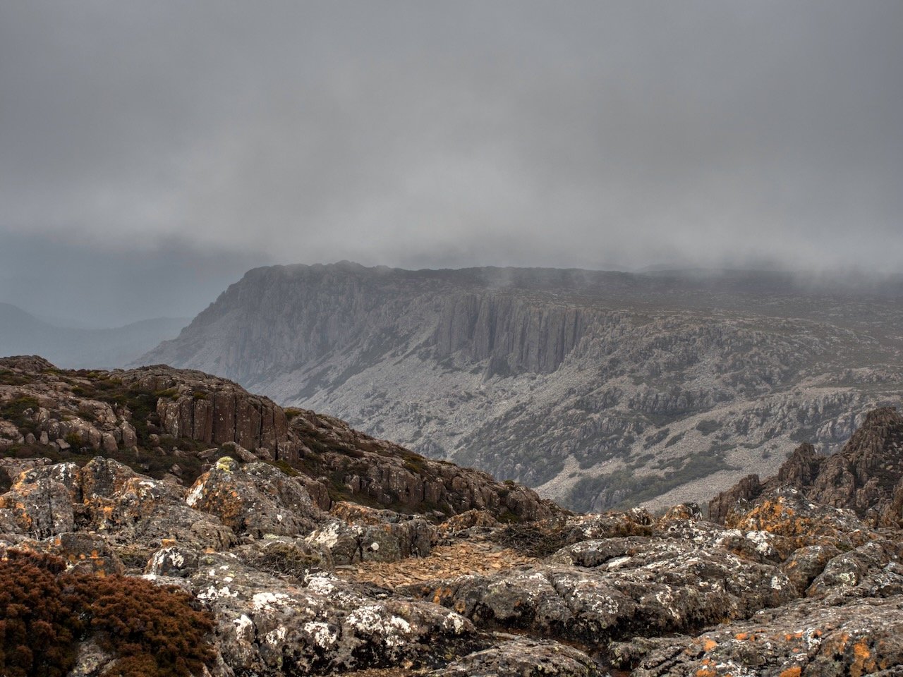
After scrambling up this we reached the summit plateau, where we ended up slightly off course, following a different cairned route to the summit. Our ascent route was to the left of the main route and saw us reach the secondary summit plateau on its northeast point, rather than being more centred along the northern edge. However the benefit of this was that we had an excellent view of Denison Crag that we would otherwise have missed out on (the scree gully we climbed was behind this, not the one in front):

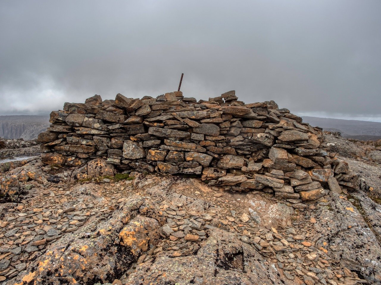
After making it to this secondary summit plateau, we made our way to the summit proper, the direction to which didn’t appear to have a cairned route, and would not have been obvious without our map.
Just as we arrived here though, the weather turned, and we did a very quick change into our wet weather gear before heading back down the mountain. This time we found the cairned route that matched up with the AllTrails route, which was much easier — mainly because we didn’t have to keep guessing which way to go!
As we reached the top of the scree gully, the weather seemed to pass over us. Had we know, we would have waited it out on the summit to take in the views, but having come this far back we continued to retrace our steps back to the car.
In all it was an excellent walk and definitely one I would recommend.