
Mount Marian and Trestle Mountain
On Saturday the 26th of November 2022, Col and I decided we needed to stay a bit closer to home, which made a perfect opportunity to knock off our last two remaining Abels in Wellington Park: Mount Marian and Trestle Mountain. From Myrtle Forest Road in Collinsvale it took us almost 8.5 hours to do the 19.6km (inc. breaks), with over 1,000m in elevation gain.
Location
There are multiple entry points to this area of Wellington Park, but we chose to start on the track at the end of Myrtle Forest Road in Collinsvale (the Myrtle Forest Track).
The Track
There are separate route entries on AllTrails for Mt Marian and Trestle Mountain, but we decided to combine the two with the same entry route being shared for both.
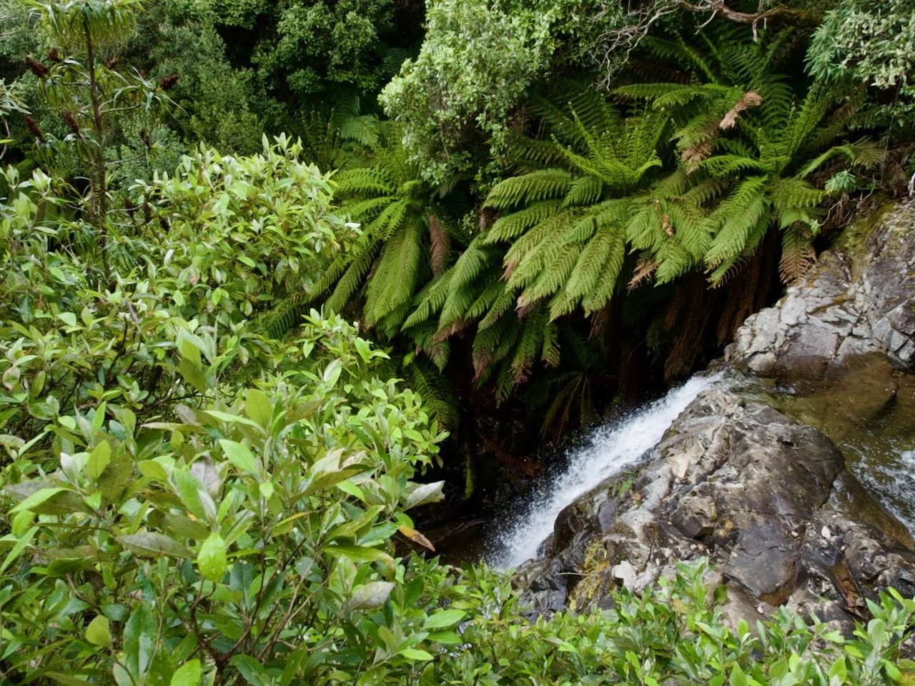
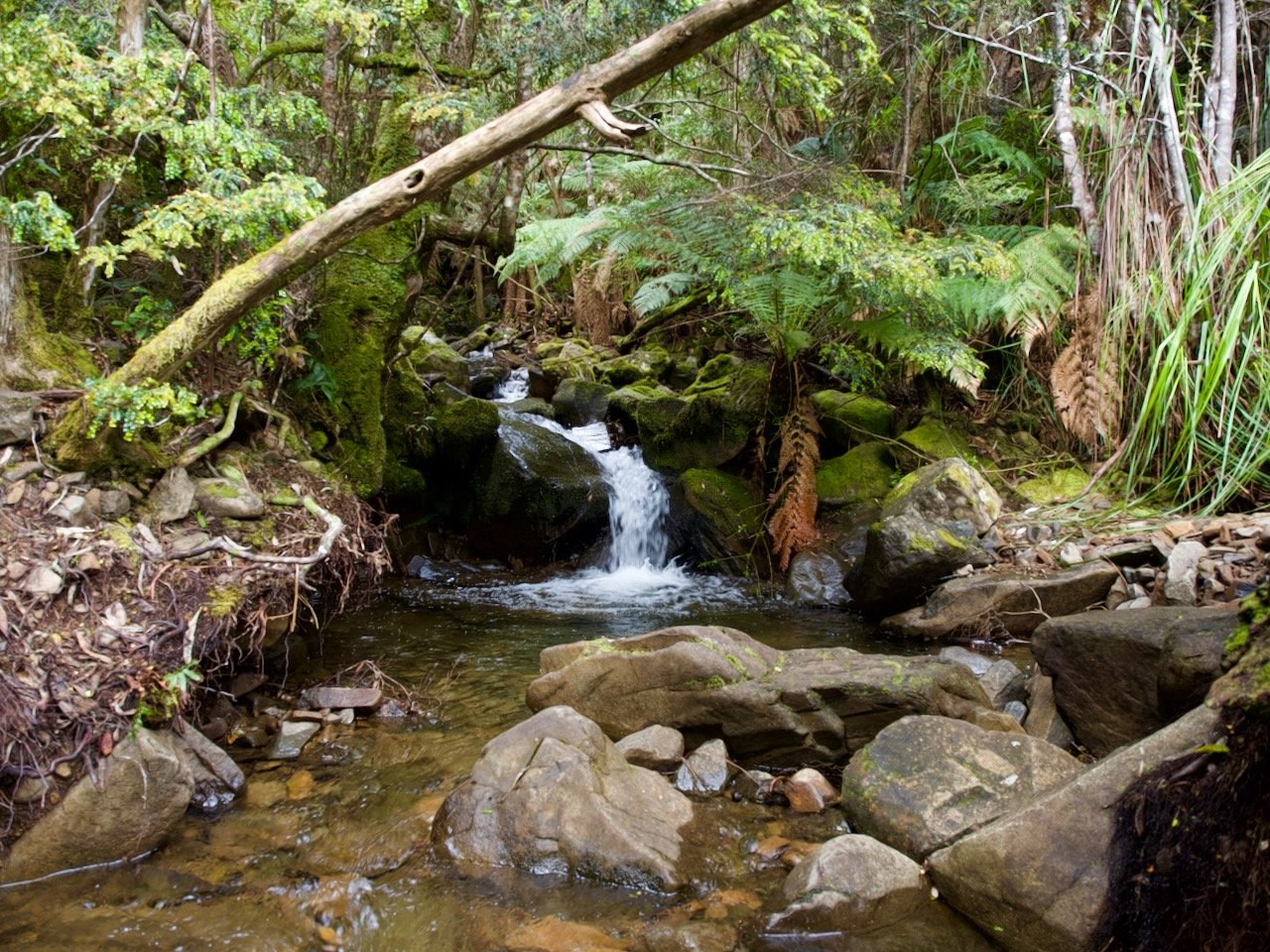
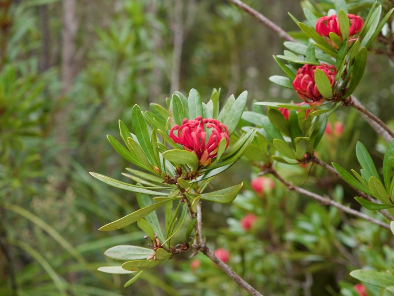
From the car park, the trail initially starts on a wide and flat roadway, before starting uphill. After about 600m along the roadway, the Myrtle Forest Picnic Area is reached and the trail proper starts. This is narrow and steep, climbing along Myrtle Forest Creek, with two crossings of the creek required on the way up the hill (and a few pretty waterfalls to look at along the way).

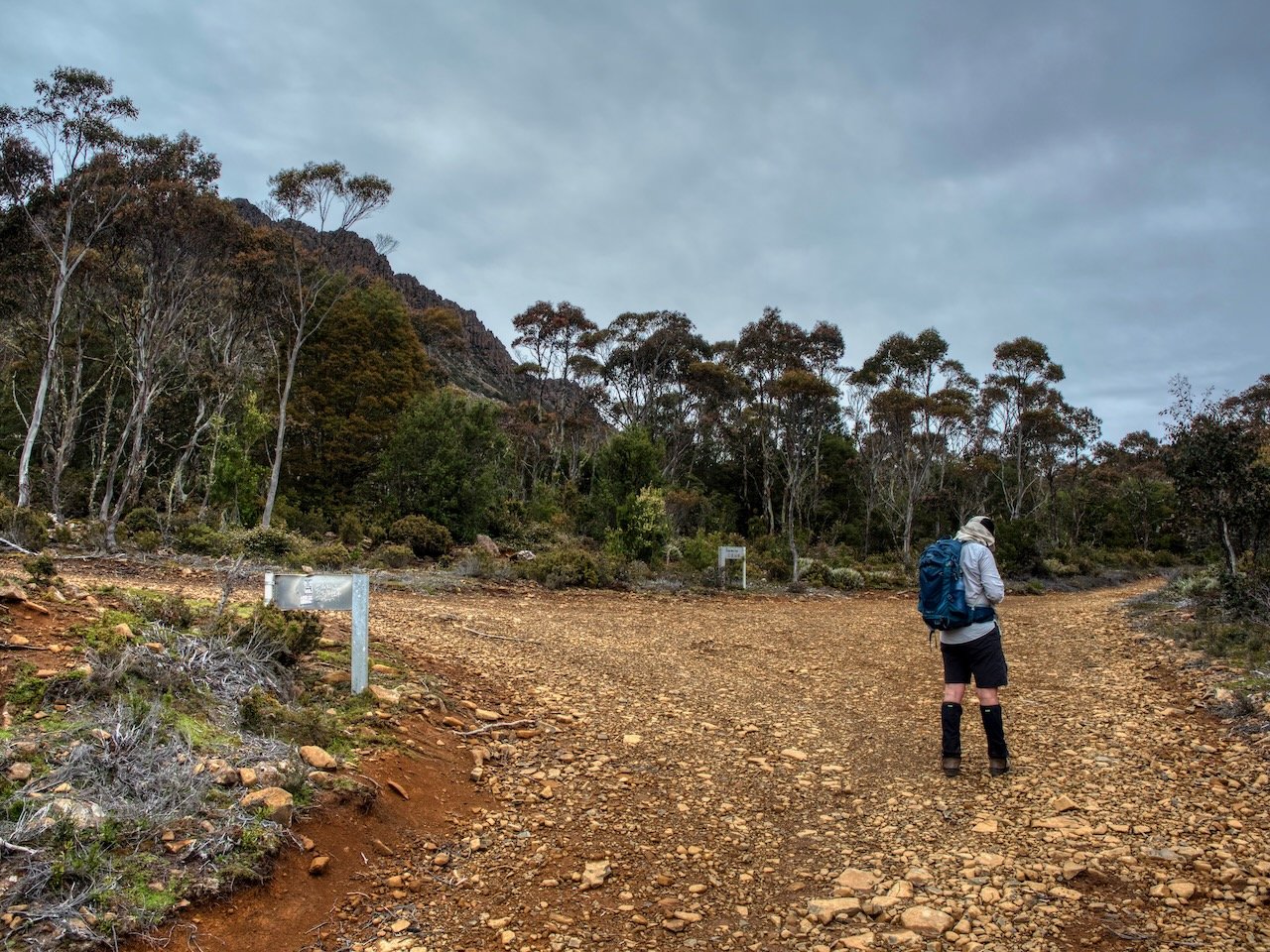
About 1km from the picnic area a junction is reached. The left hand track is for those heading to Collins Bonnet, so we took the trail to the right (the Collins Cap Track) to continue on to the Collins Cap Trail fire trail, which is about another 500m from the junction. It took us about 50 minutes to make it to the fire trail, with a elevation gain of 360m to this point.
From here the walking was much easier, with a wide and easy-walking fire trail to follow. We continued south for about 1km to the junction with the East West Trail — another wide fire trail — where we turned to the right. We continued along the fire trail, with a brief shortcut track bypassing a u-bend in the fire trail, until we reached the signposted turn off to Mount Marian.
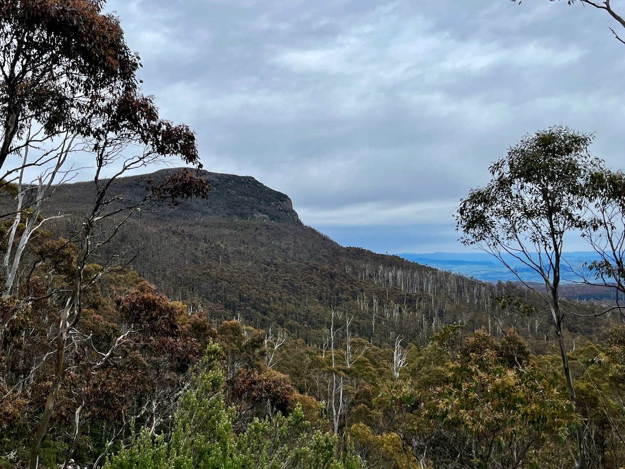
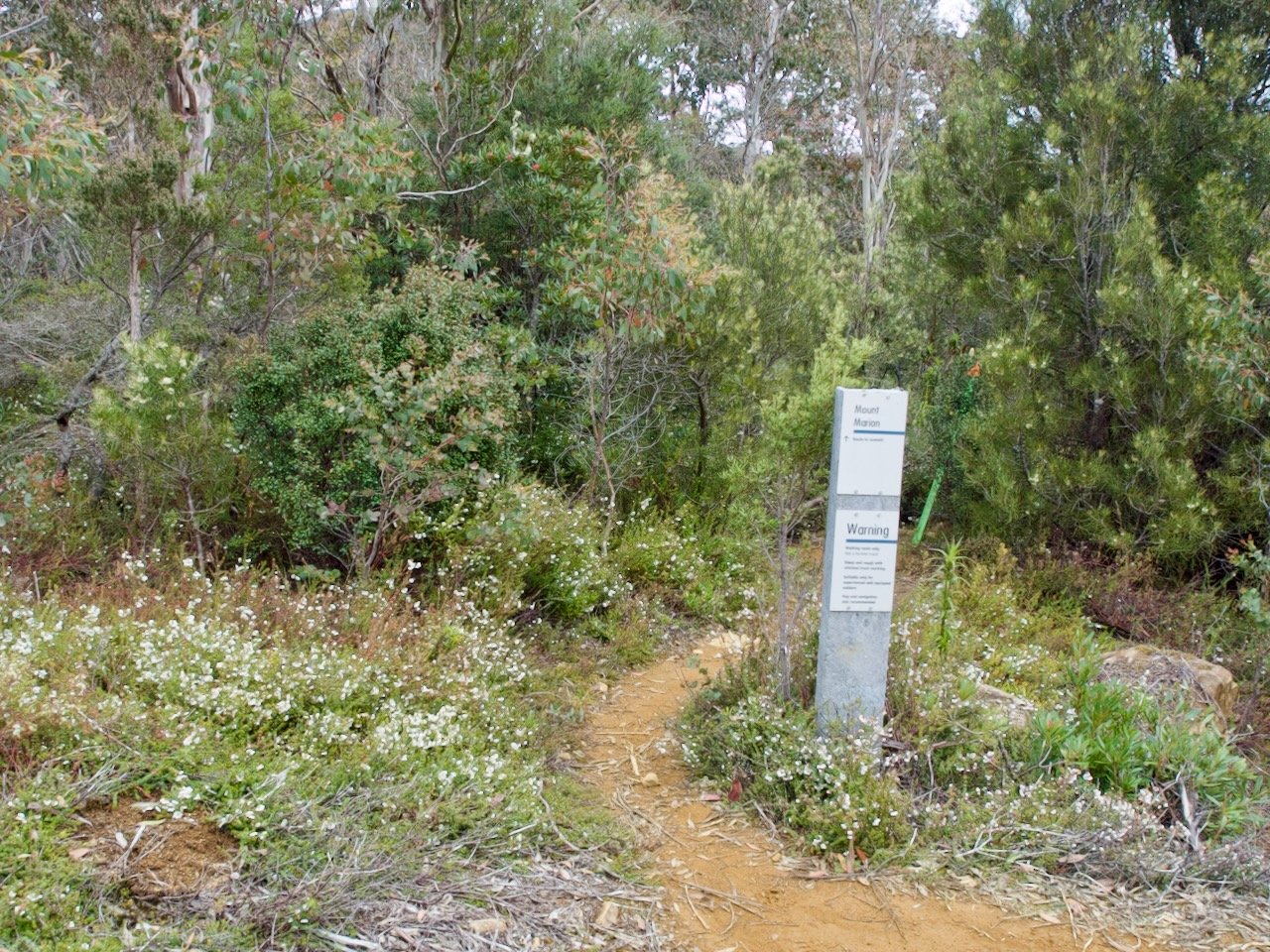
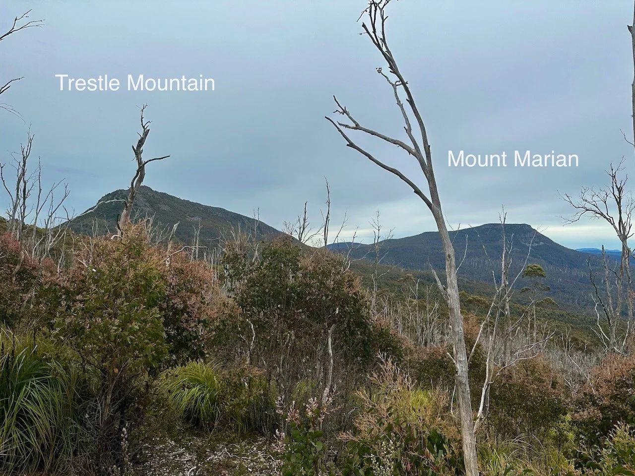
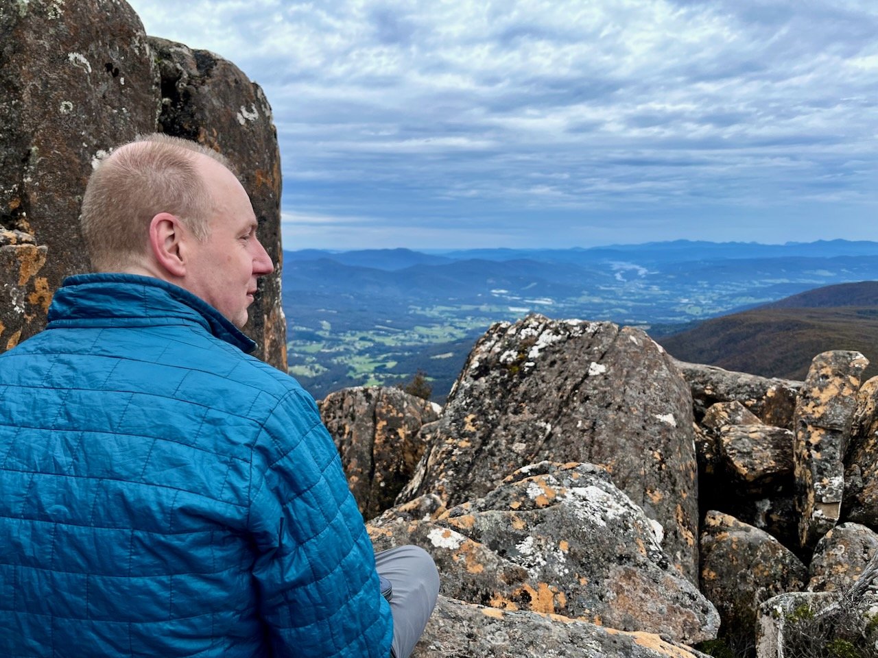
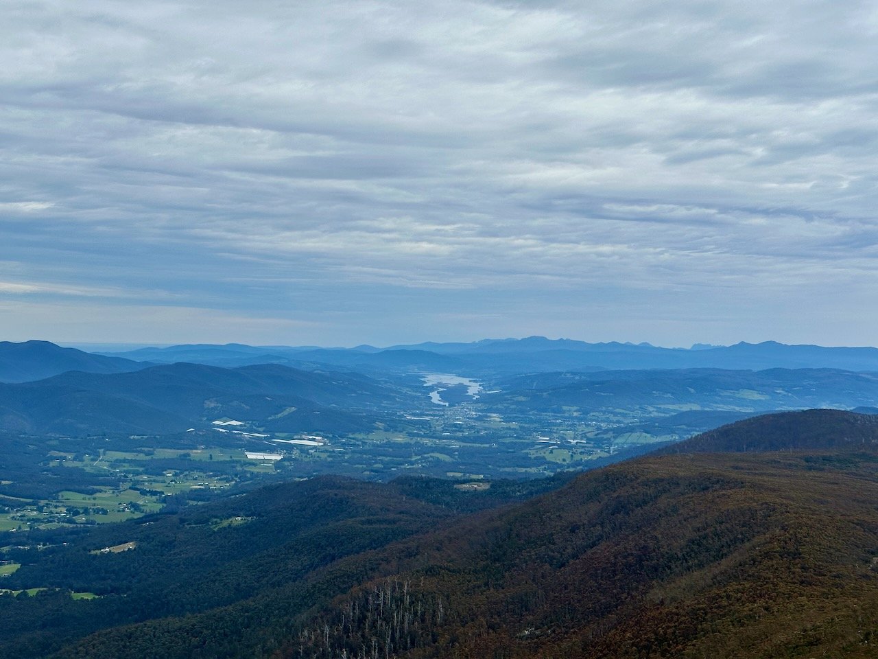
This trail was well marked and obvious, with it taking us about 45 minutes from the fire trail to reach the summit, where we enjoyed views of the surrounding mountains.

After some lunch on the summit we retraced our route back down to the fire trail and then back along the fire trail to the shortcut track. However, instead of continuing to retrace our steps on the shortcut track we continued 100m further along the East West Trail to the again signposted turn off to Trestle Mountain.
This trail was a lot steeper and involved a fair bit of scrambling. It is only about 600m to the summit from the fire trail, but with 200m in elevation gain. However, about 30 minutes after leaving the fire trail we were on the summit and rewarded with some fantastic views of the Huon Valley.
It was then time to retrace our steps again back to the car, with both of us being a little weary after climbing two mountains. But happily, that is another two Abels checked off our list.