
Snowy South-ish
On Tuesday the 22nd of February 2022, Col and I set out to do our 23rd Abel, Snowy South. Unfortunately, the boulder scrambling at the top saw my fear of heights kick in, which combined with our slow progress, saw us finish up about 200 metres short of the summit.
The return walk to the summit is sign posted as taking 6 hours, but it took us 5 hours just to reach our turnaround point (including breaks). I’m not sure why we were so slow in comparison, as we never felt like we weren’t doing a good pace, however after setting off at 9am, we didn’t make it back to the car until just after 6pm — 9 hours after we started (including a morning tea and lunch break).
[Update: It appears our error may have been following the cairned route over the boulders on the approach to the summit. There is apparently an easier route over the pineapple grass, starting near the tarn about 600m out from the summit. More info at the bottom of the post.]
Video
Location
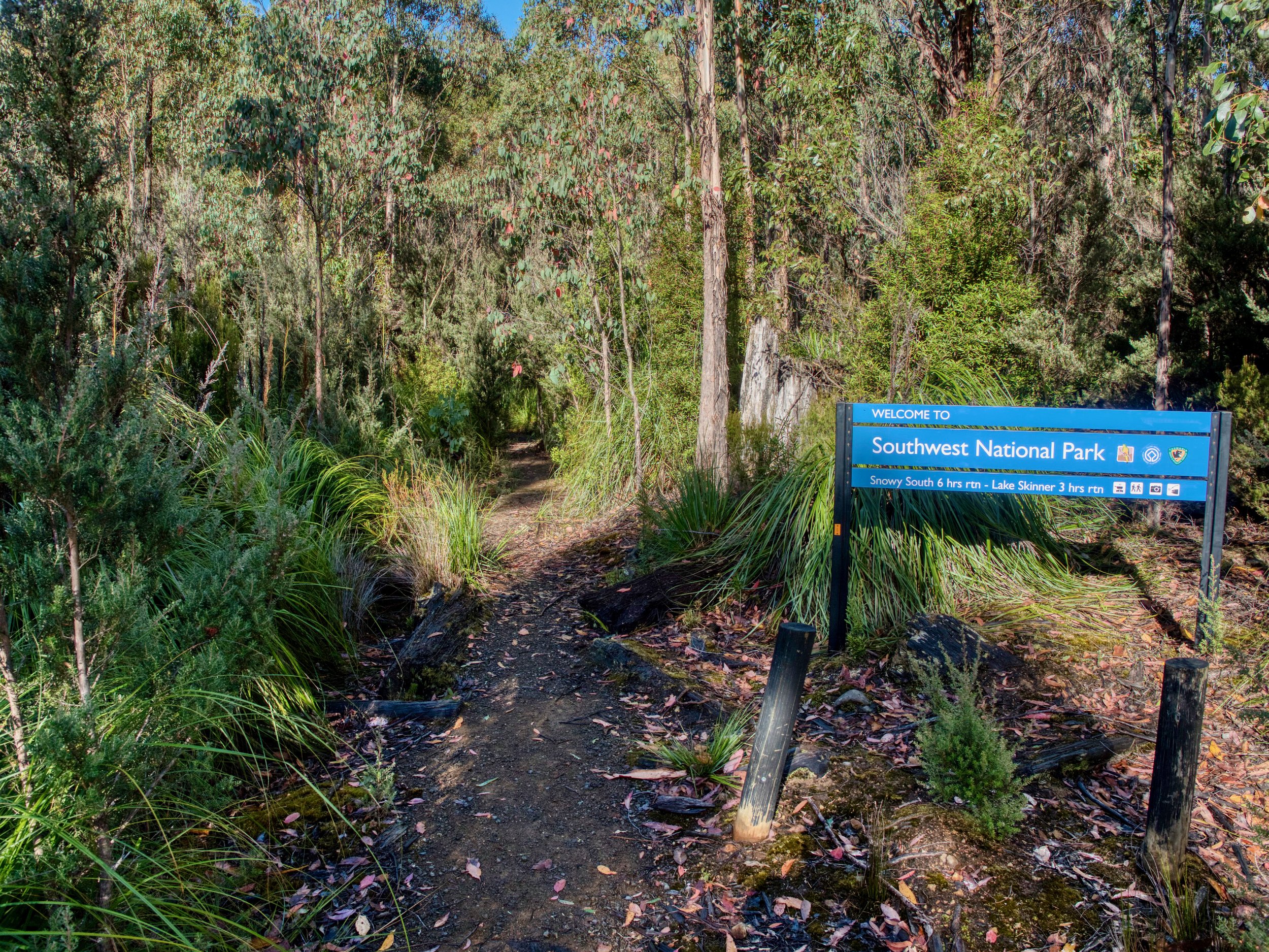
The walk starts from a forestry spur off McDougalls Road in the Huon Valley. To reach the start point from Huonville, take the Wilmot Road turn off from Main Street and travel out through Ranelagh and Judbury, taking North Huon Road. At Judbury, the road becomes Lonnavale Road. Continue north-west on Lonnavale Road, parallel with the Huon River. After crossing the Russell River, Lonnavale Road turns to the right, but you should continue straight on what is now Denison Road. Shortly after crossing the Little Denison River, take the right-hand turn onto Denison Road (the road continuing straight becomes Southwood Road at this point). Follow Denison Road out to the point at which it becomes McDougalls Road, and continue along this, following the signs to Lake Skinner. This will lead you to the forestry spur, with a small car park at the end, from where the walk starts — initially labelled as the Lake Skinner Track.

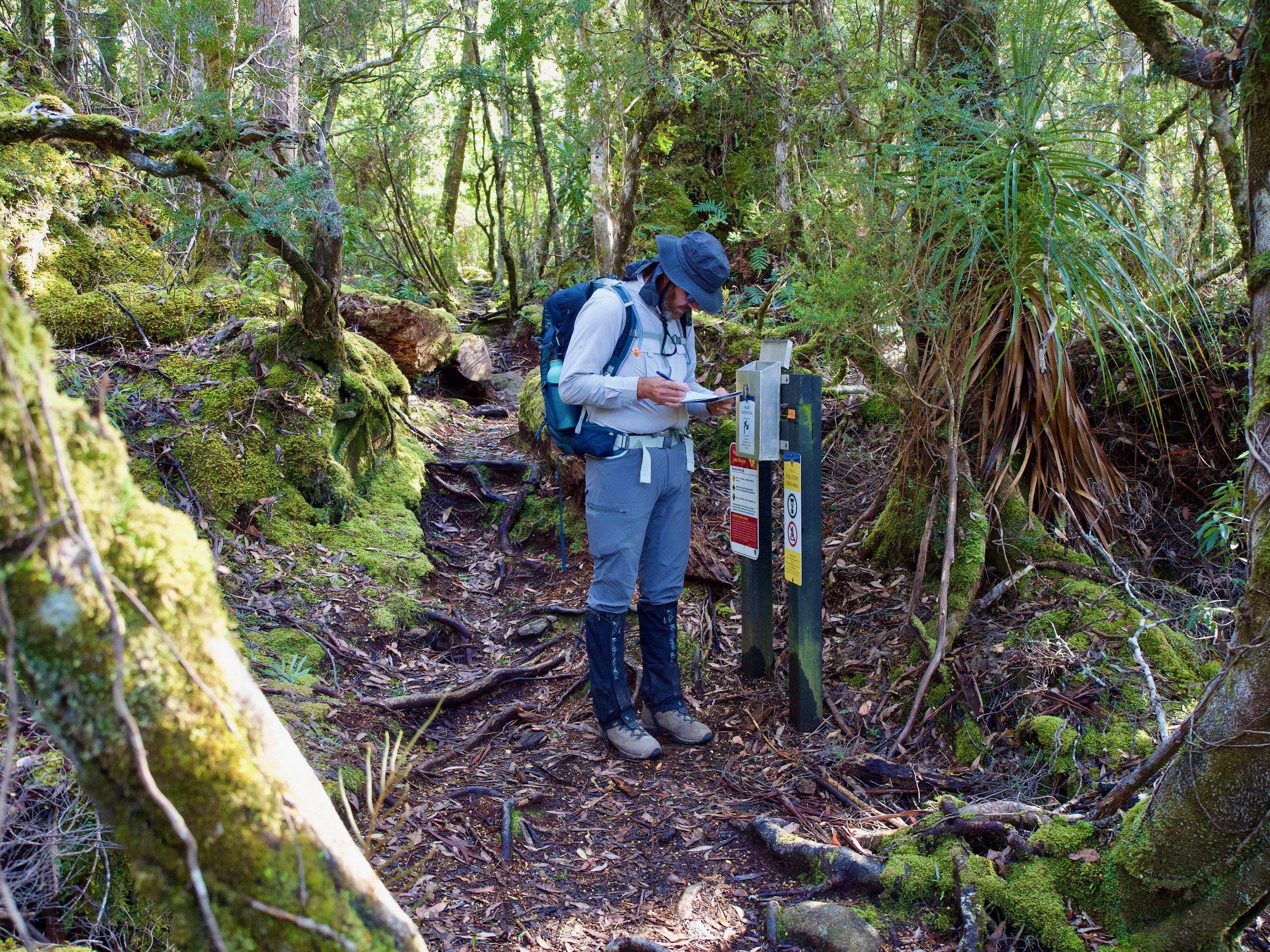
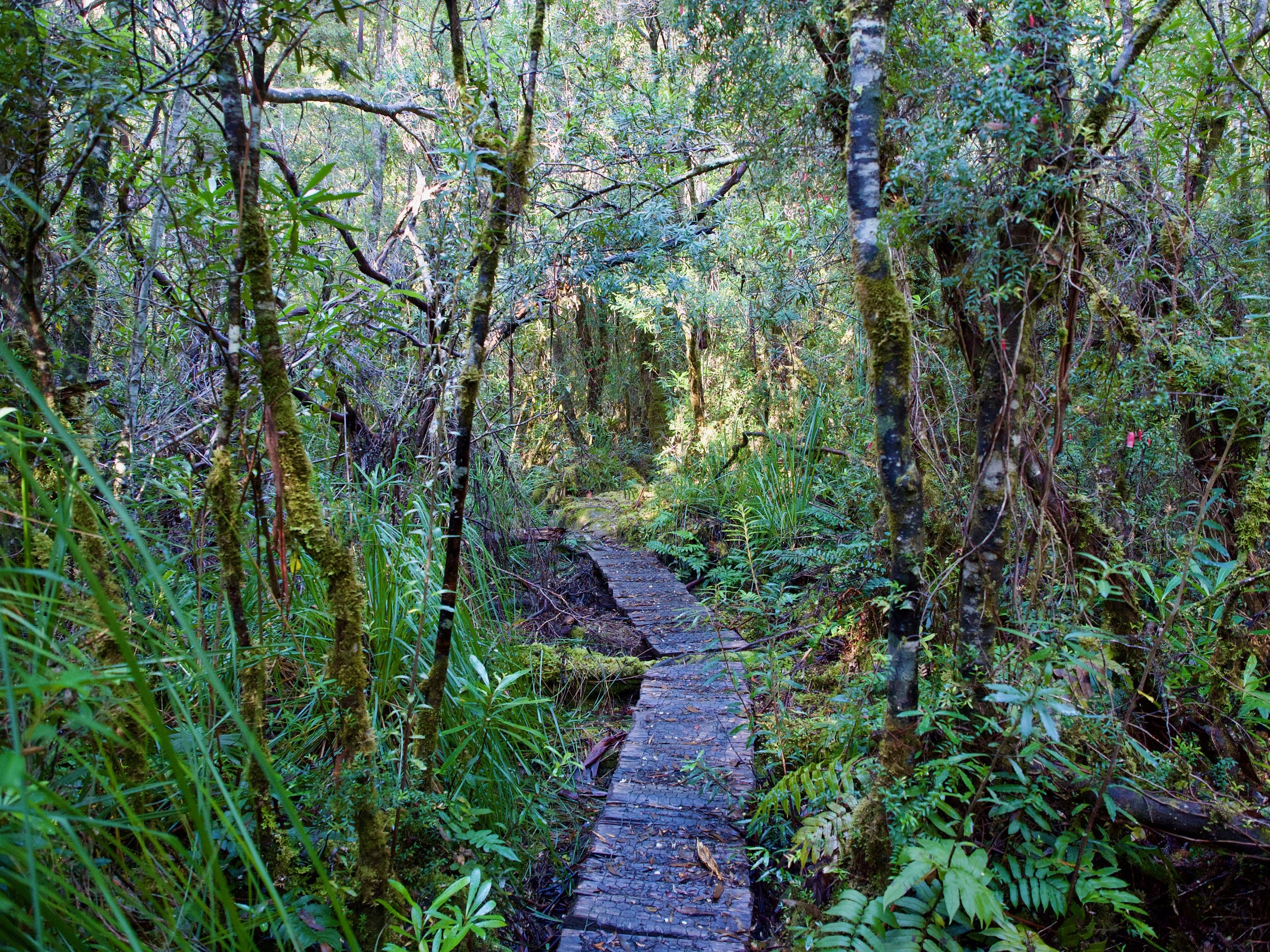
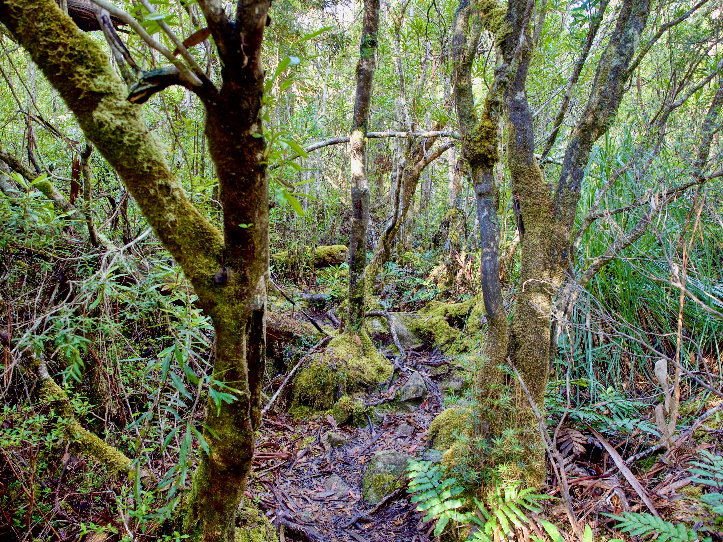
The Track

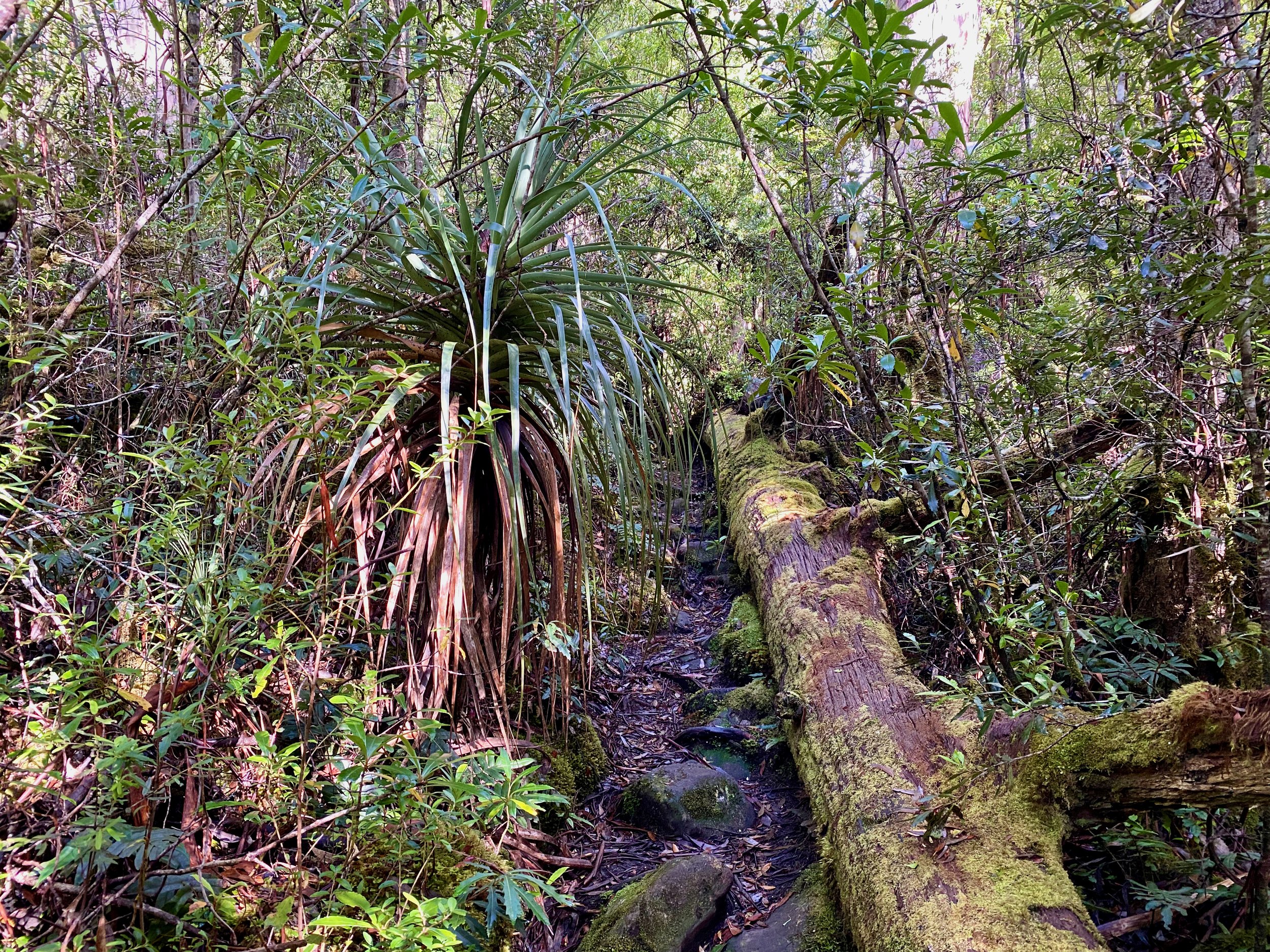
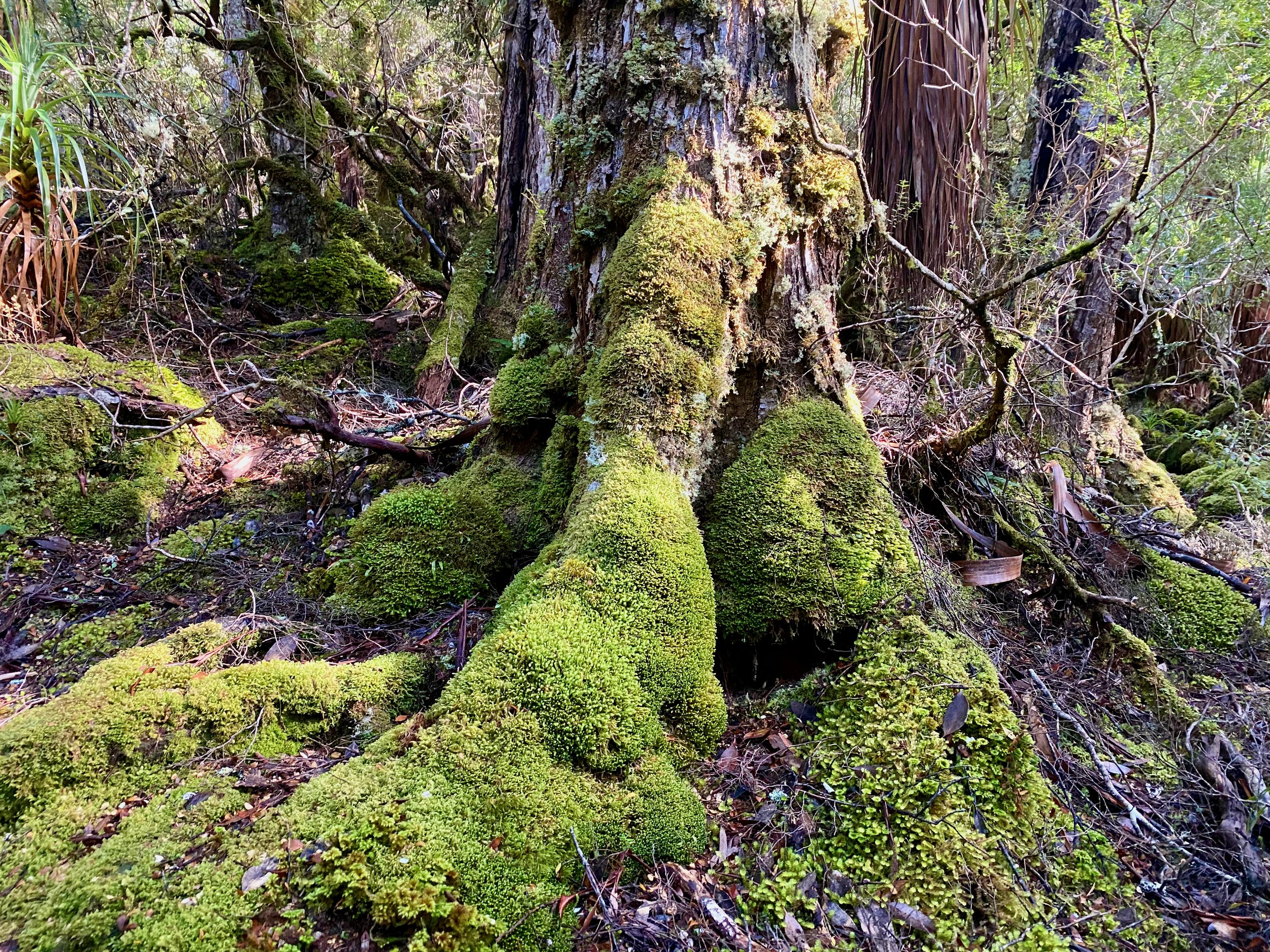
From the car park, take the signed Lake Skinner Track. This initially travels through a beautiful rainforest, although this requires careful walking given the main slippery tree roots on the track. It took us just under an hour and a half to pass through the rainforest, during which we climbed about 300 metres in elevation.
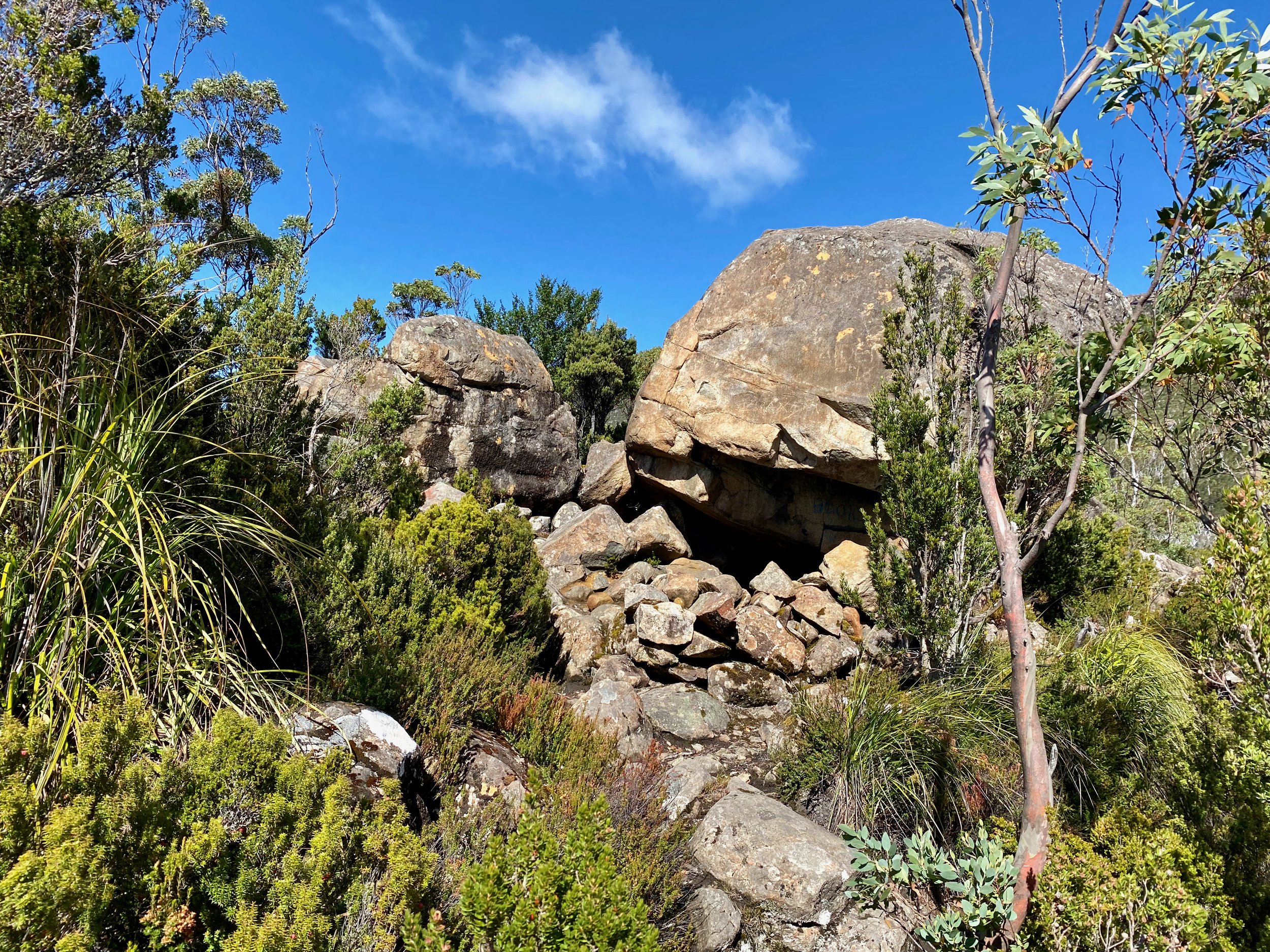
From here, the track, which is now rocky rather than tree-rooty, goes down briefly, before climbing up to Lake Skinner. This section took us around 15 to 20 minutes. On reaching the lake, you’ll see a large boulder with a rock wall below it, creating a cave. Take the track to the left of the boulder to stop and view the lake.
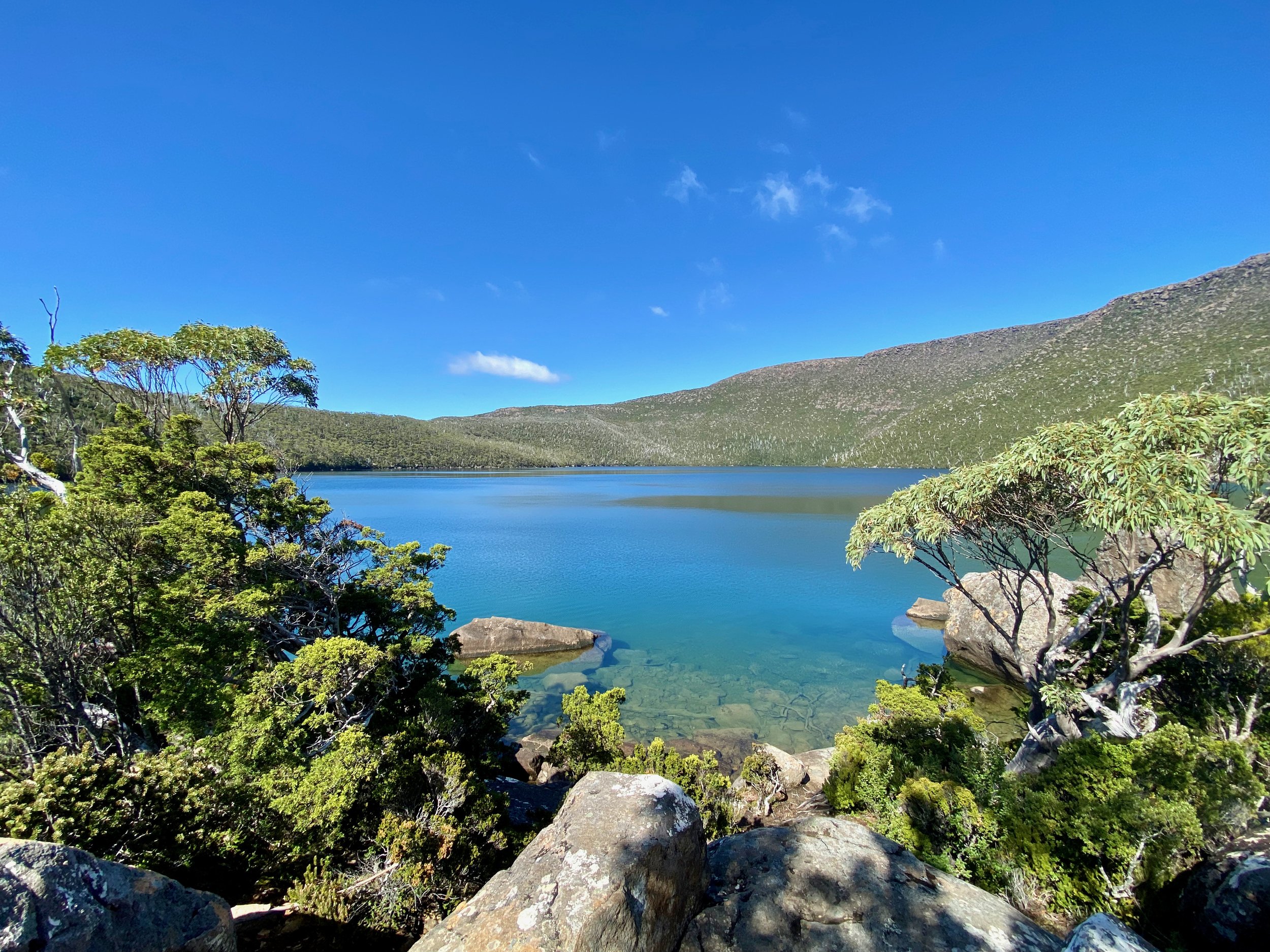
From this overlook of the lake, there is also a track leading to the left (as you look at the lake) that takes you up to a slightly higher vantage point. This is worth the side trip, as it gives a better view of the lake in totality.
After checking out the lake, return to the main track in front of the boulder. Now continue straight on, to the immediate right of the boulder, and cross Falls Rivulet, which is fed by the lake. On the other side of the stream, you will find a fairly clear track, very close to where the stream exits the lake.
The track here immediately become very steep. It took us about half an hour to climb the 200 metres to the plateau below the summit.
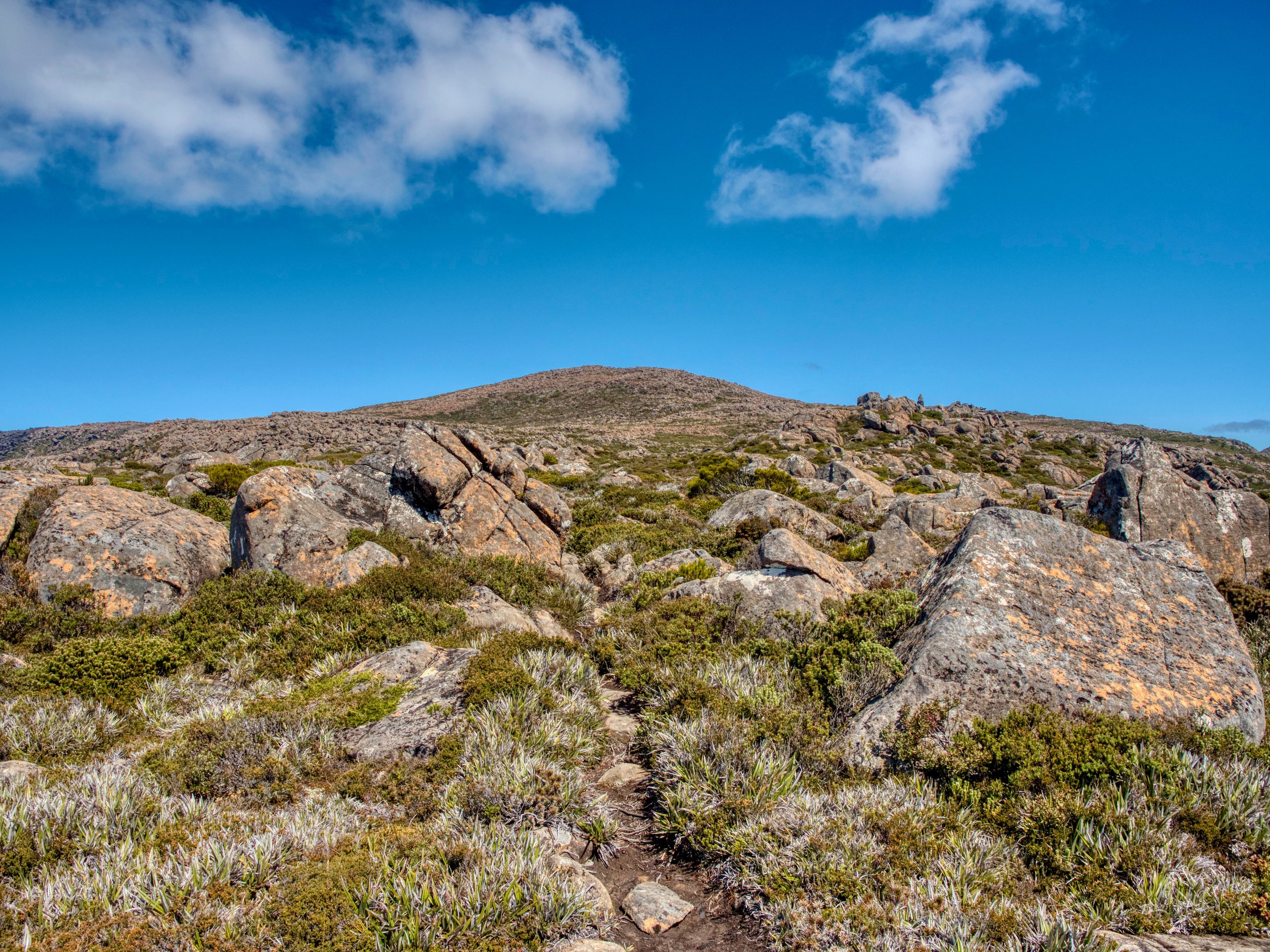
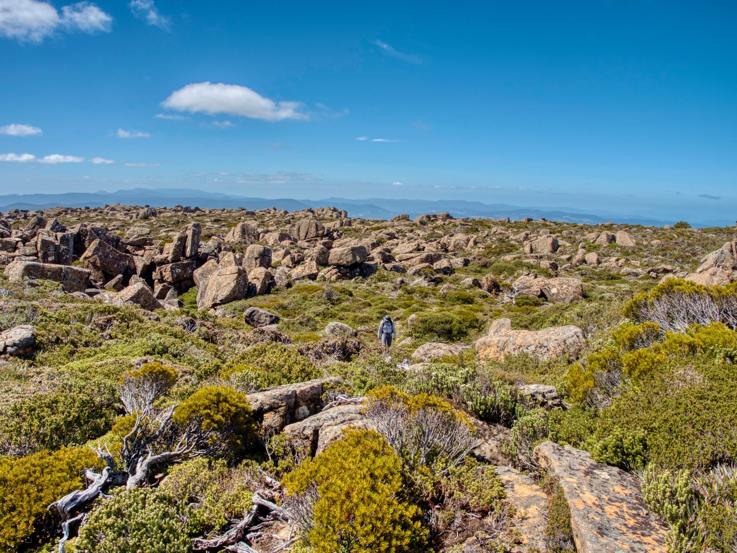
Route finding becomes a little more difficult on the plateau, as the track pad is not as well defined, but there are plenty of cairns marking the way.
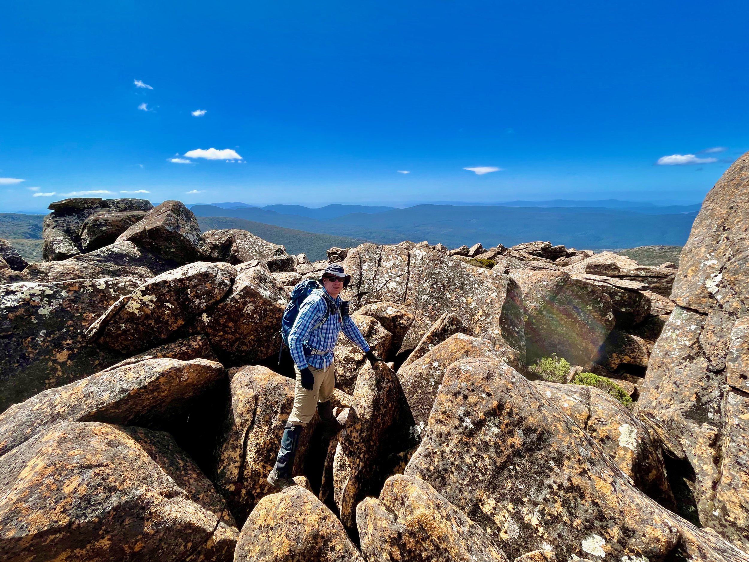
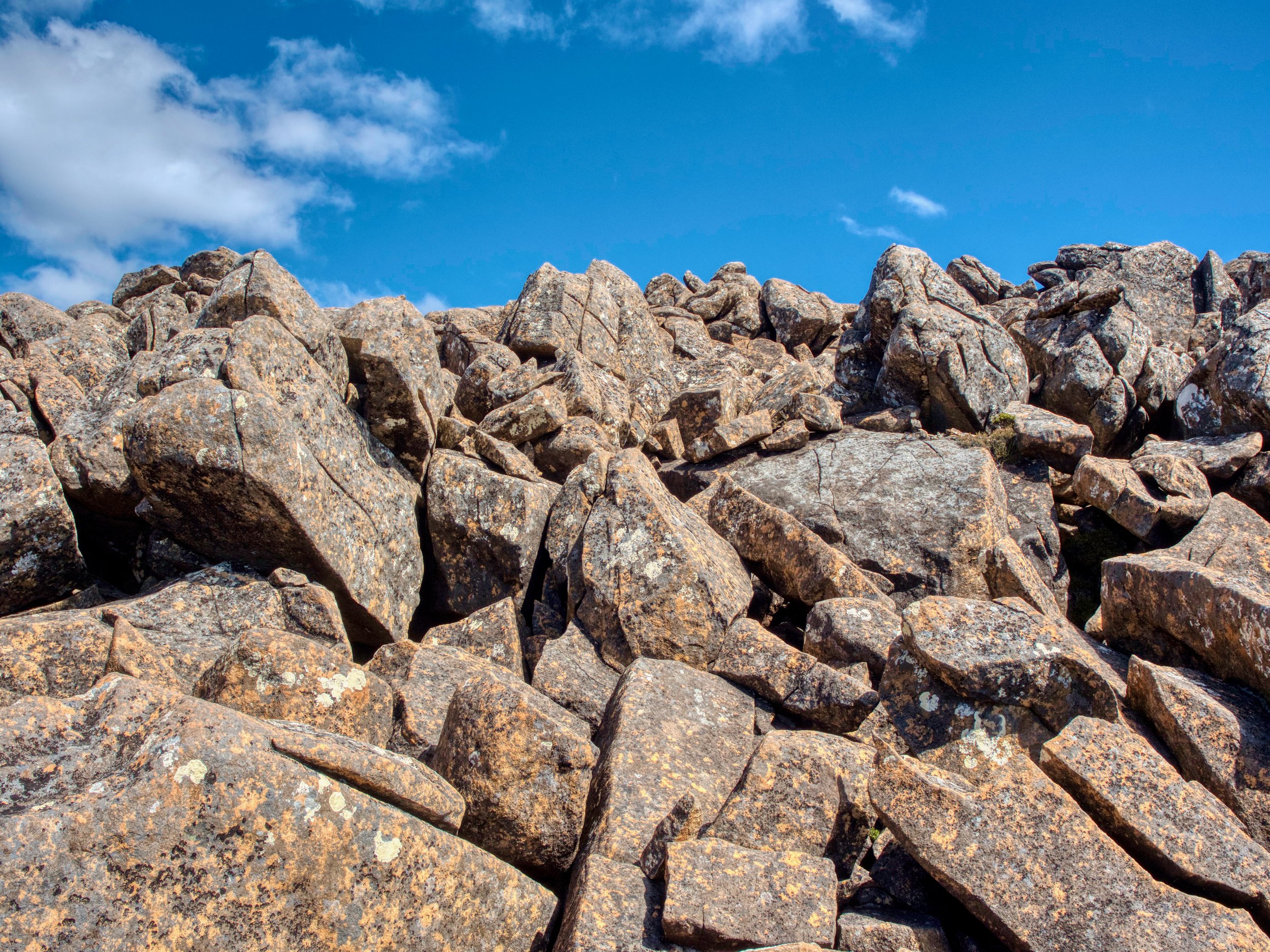
After crossing the plateau, towards a summit that doesn’t appear that steep, you need to start scrambling over boulders. The further you cross this boulder field, the steeper the ascent, the more climbing, and the deeper the crevices between the rocks. This was what ultimately undid me, with my fear of heights kicking in. There was no significant exposure, it was just the traversing the boulder field and the crevices, with some increased difficulty following the cairned route.
By the time we got to this point, it was almost 2pm, which added to my concern about completing the trip to the summit and making back down in reasonable time.
Making the summit would certainly have been achievable, but our walk was part of a couple of days away where we’d factored in relaxation time. If I was doing this walk again, I’d aim to start earlier and be committed to finishing regardless of how long it took — which for us would probably have been an additional hour or two to reach the summit and return — somehow making this a 10 to 11 hour walk 🤷🏼♂️. I’m not sure why this is the case, when I have seen reports of others doing it in under 8 hours.
Views from the summit make the walk well worthwhile, with a horizon full of mountains, including the closer Nevada Peak and Snowy North.
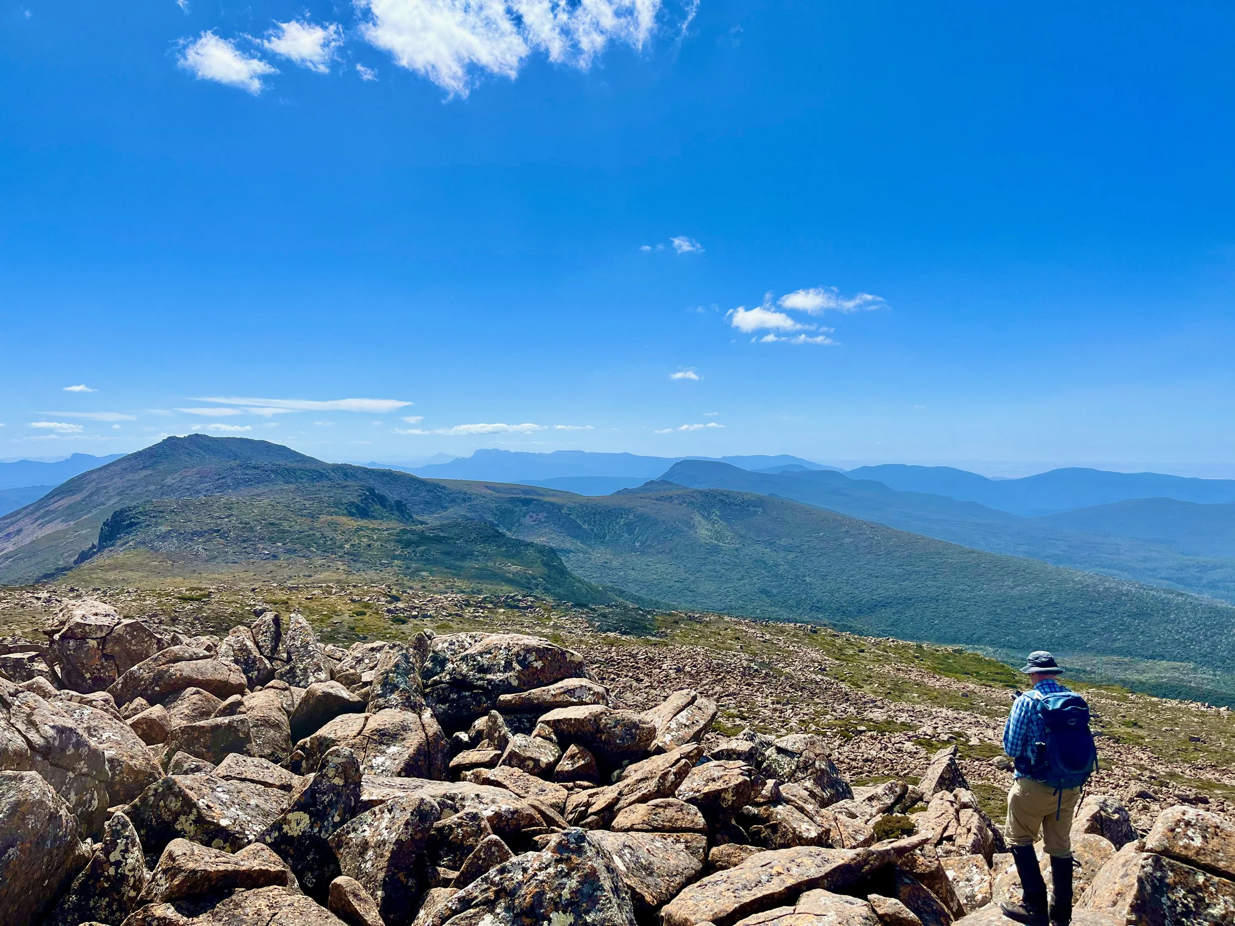
Nevada Peak (left) and Snowy North (centre).
Our Mistake
After this attempt, I rewatched a video by Bender and Xing. At about 8:10 in the video, they mentioned they took an easier route back down from the summit through the pineapple grass and low scrub. I mentioned this to my friend Ben, who agreed that taking a route over the pineapple grass from the tarn about 600m ENE of the summit was the better route, with it not being at all clear why the cairned route is over the boulders.
Using this info, I have plotted a guesstimate of a better route to the summit from the tarn, which may need to be varied when actually walking the route. To see actual routes walked by people approaching the summit this way, check out Ben’s Sträva record of his walk or the Hiking South East Tasmania blog post, which includes a gpx file of the walk.