

Packrafting the Collingwood River – Lyell Hwy to Franklin Confluence
Overview
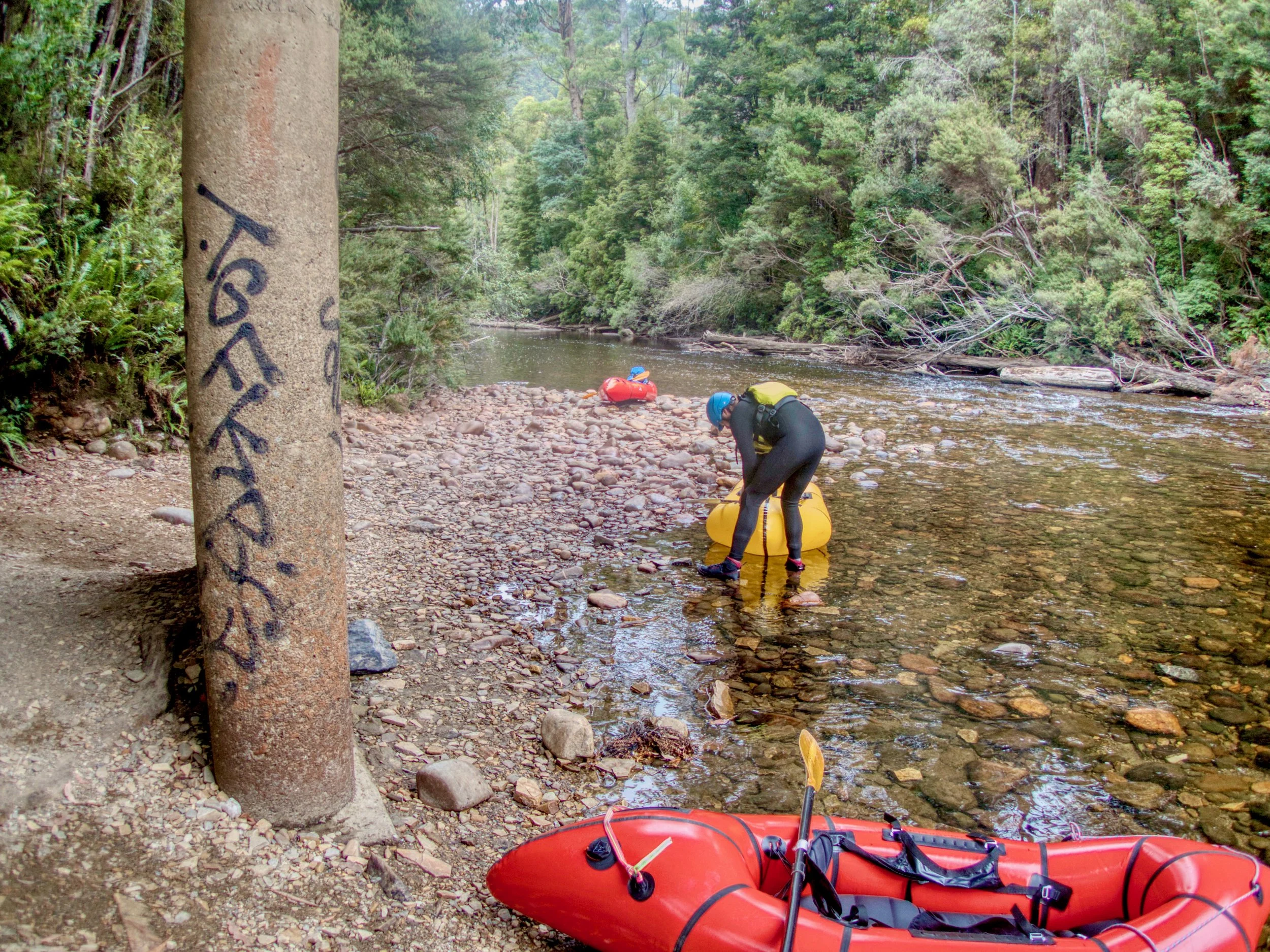
On Saturday the 26th of February 2022 I packrafted the Collingwood River from the Lyell Highway bridge to the Franklin River confluence with Daniel and Jason from the Packrafting in Tasmania Facebook group.
Distance: 6km
Grade: 2-3
Time: 3 hrs
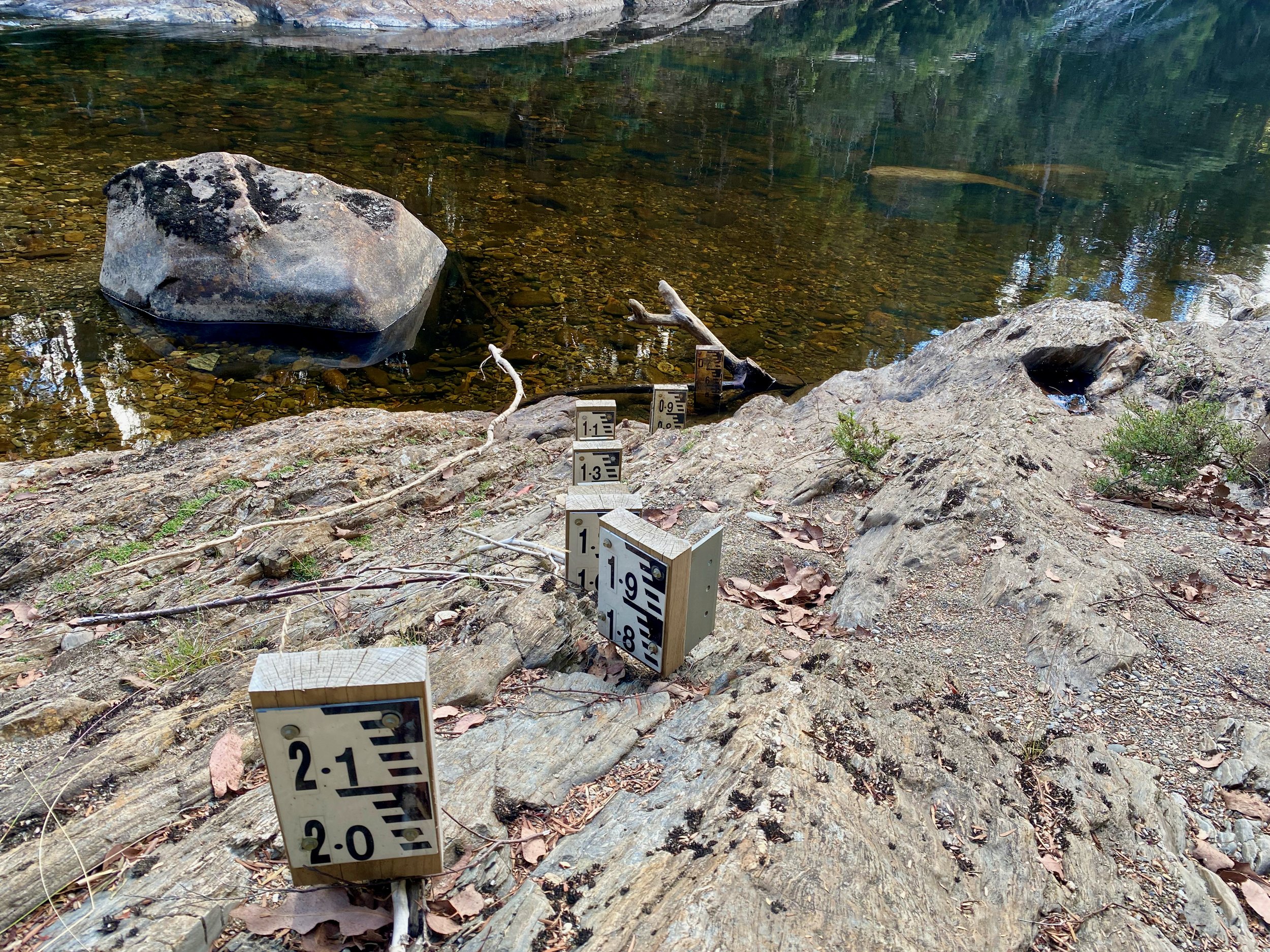
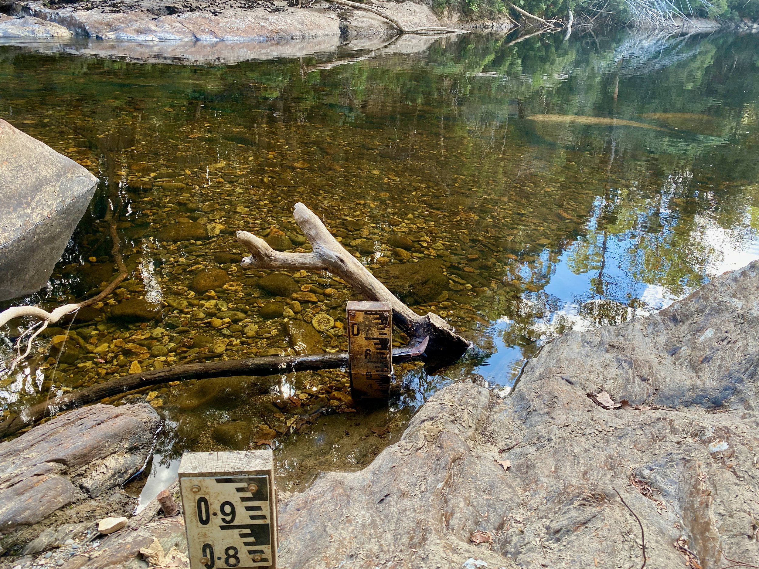
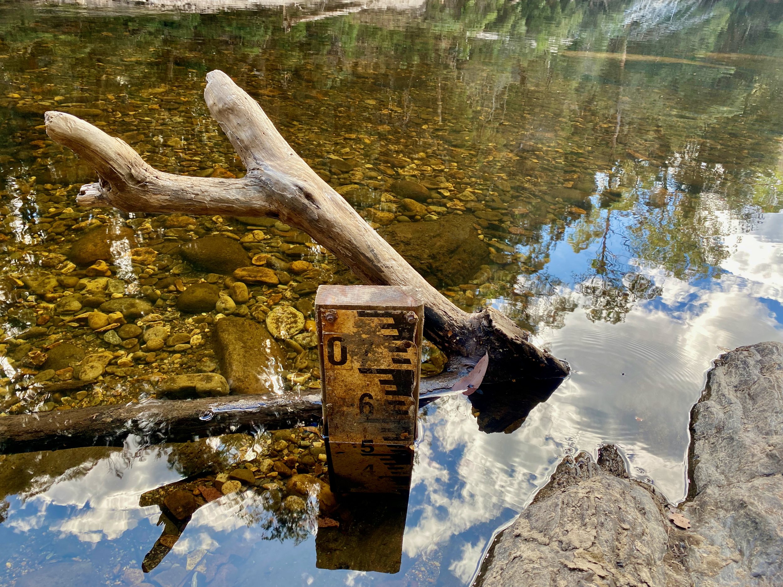
Water level: Approx 0.5m at Lyell Hwy bridge (or 1.22 m³/s on the online gauge)
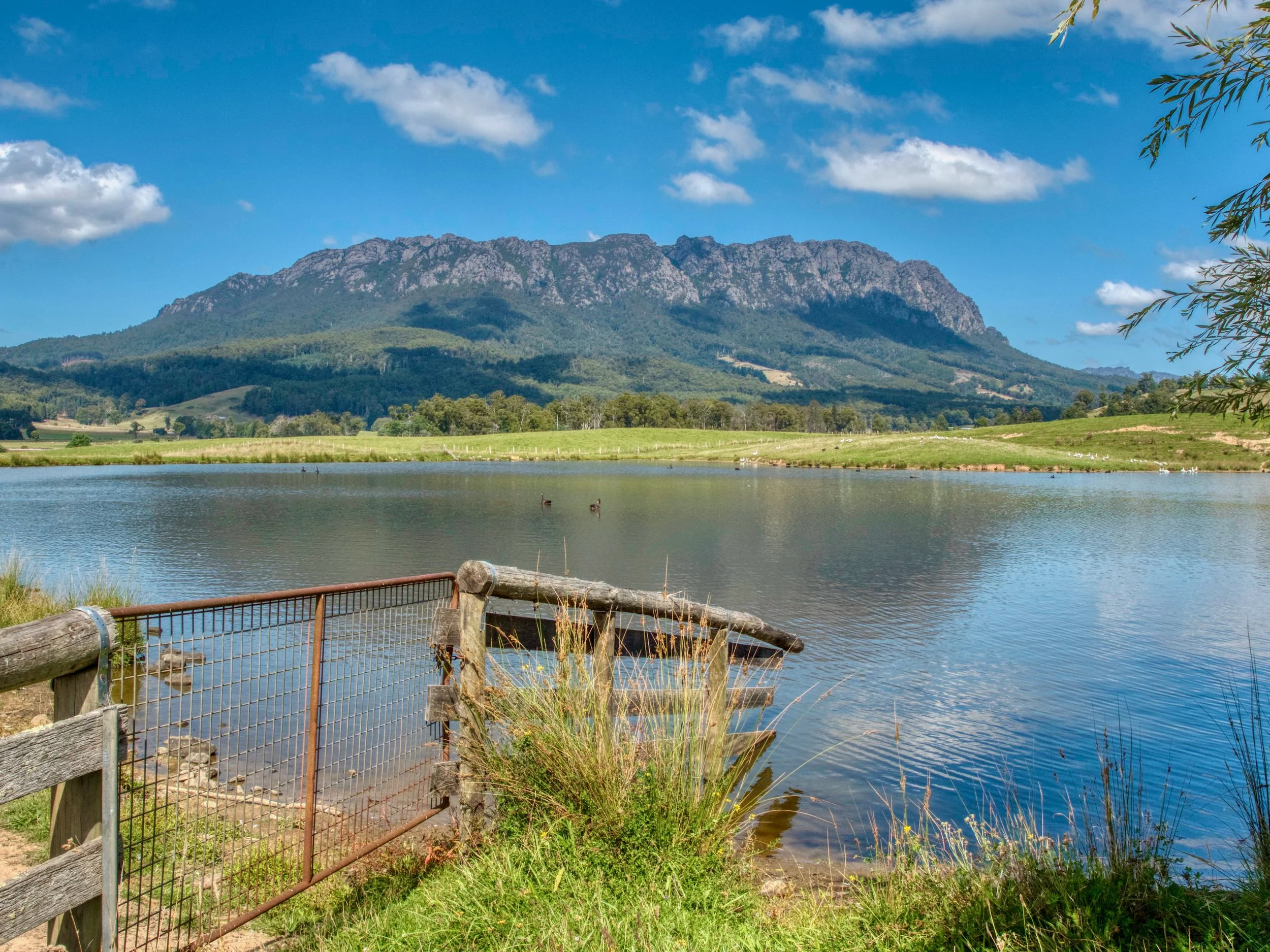
Entry Point
The entry point to the river is below the Lyell Highway bridge over the Collingwood River. This is also the starting point for the commercial rafting trips that go down the Franklin River.
Exit Point
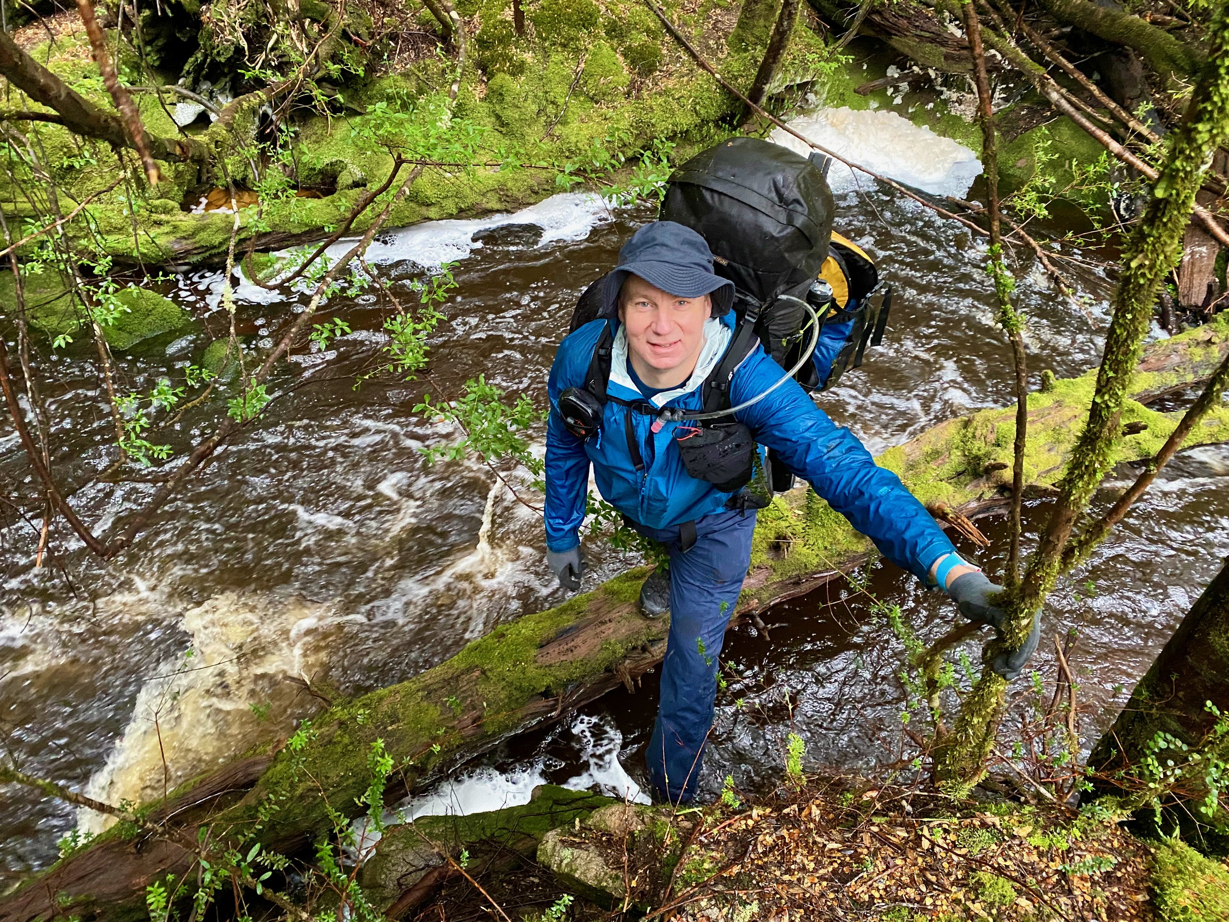
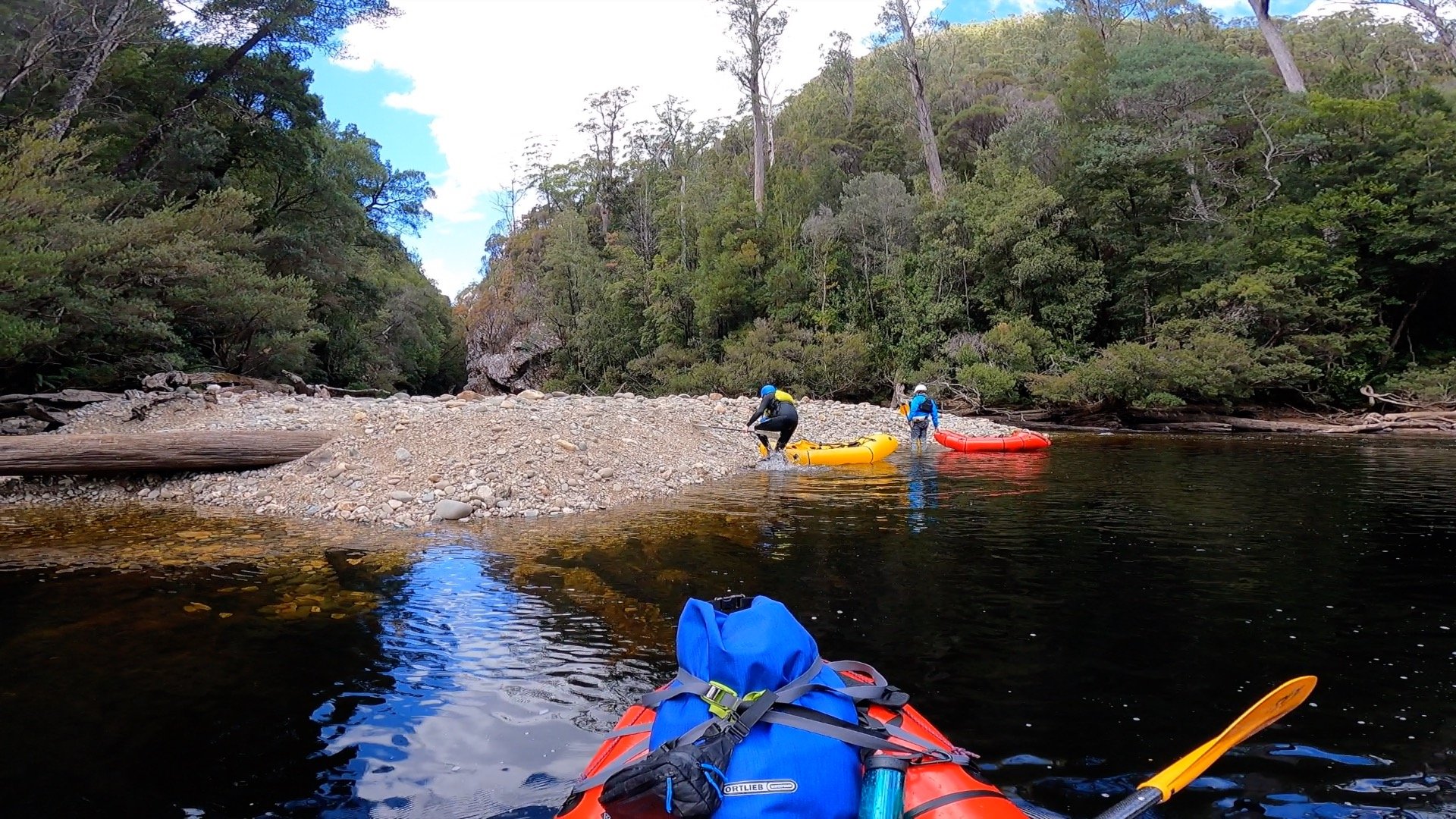
The exit point for this section is the confluence with the Franklin River, 6km down stream. As you approach the Franklin confluence, there is a shingle bank on the left immediately before the Franklin enters. Get out here and on your left there is an obvious track up to a camp site. Pass through the camp site, turning to the right at the main section. This will take you down to a gully. The exit track isn’t obvious here, but is on the right hand side of the gully and initially requires some scrambling up the bank.
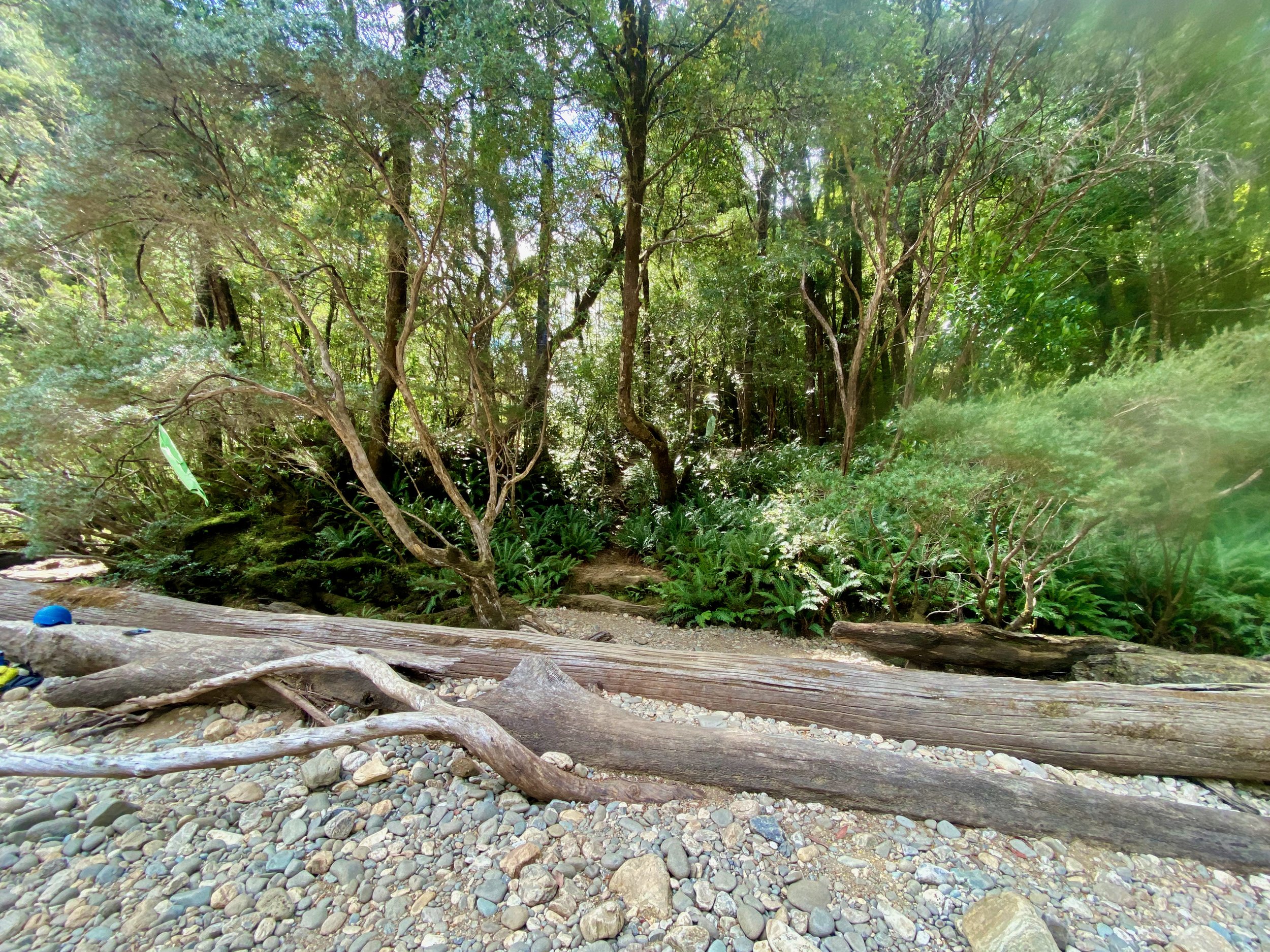
However, as you progress up the bank, the track becomes clearer. It took us about 30 minutes to walk the 600m, with 200m ascent, up to the Donaghys Hill Nature Trail. Joshua Resta has posted a gpx file of the track route to his OneDrive. From the track, it is about a 15 minute stroll to the track carpark on the Lyell Highway, which is about 4km from the entry point at the bridge over the Collingwood (we did a car shuffle beforehand).
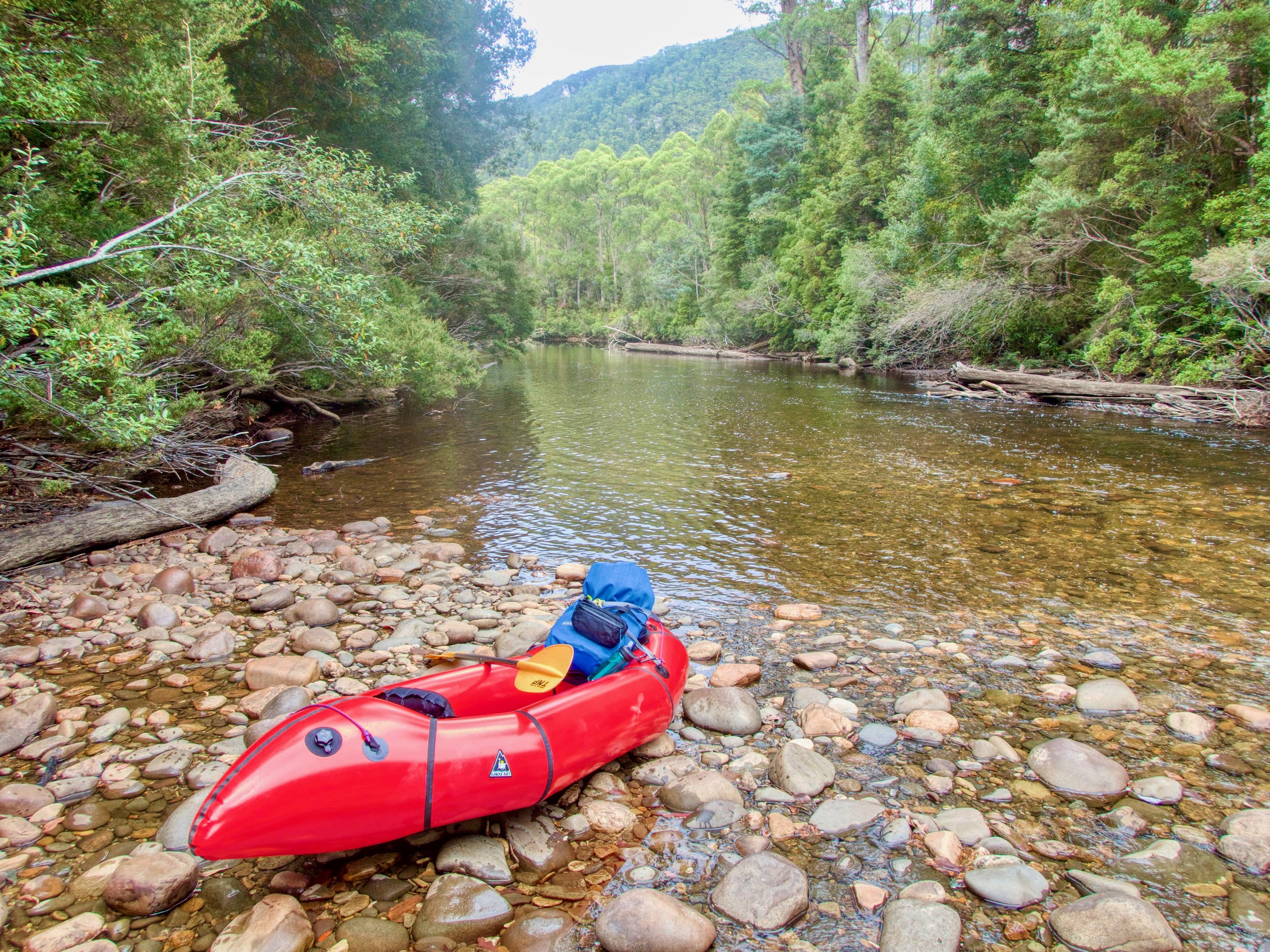
The River
The video at the top of the post gives an indication of the character of the river at this level. The online gauge indicates the river was at 1.22 m³/s, which we estimated as being 0.5m at the bridge — the level indicator at the bridge not going this low. By the time we had finished, the river had gone up slightly to 1.3 m³/s, which was 0.54m on the level indicator that slightly up river from the start — following the Collingwood Junction Track.
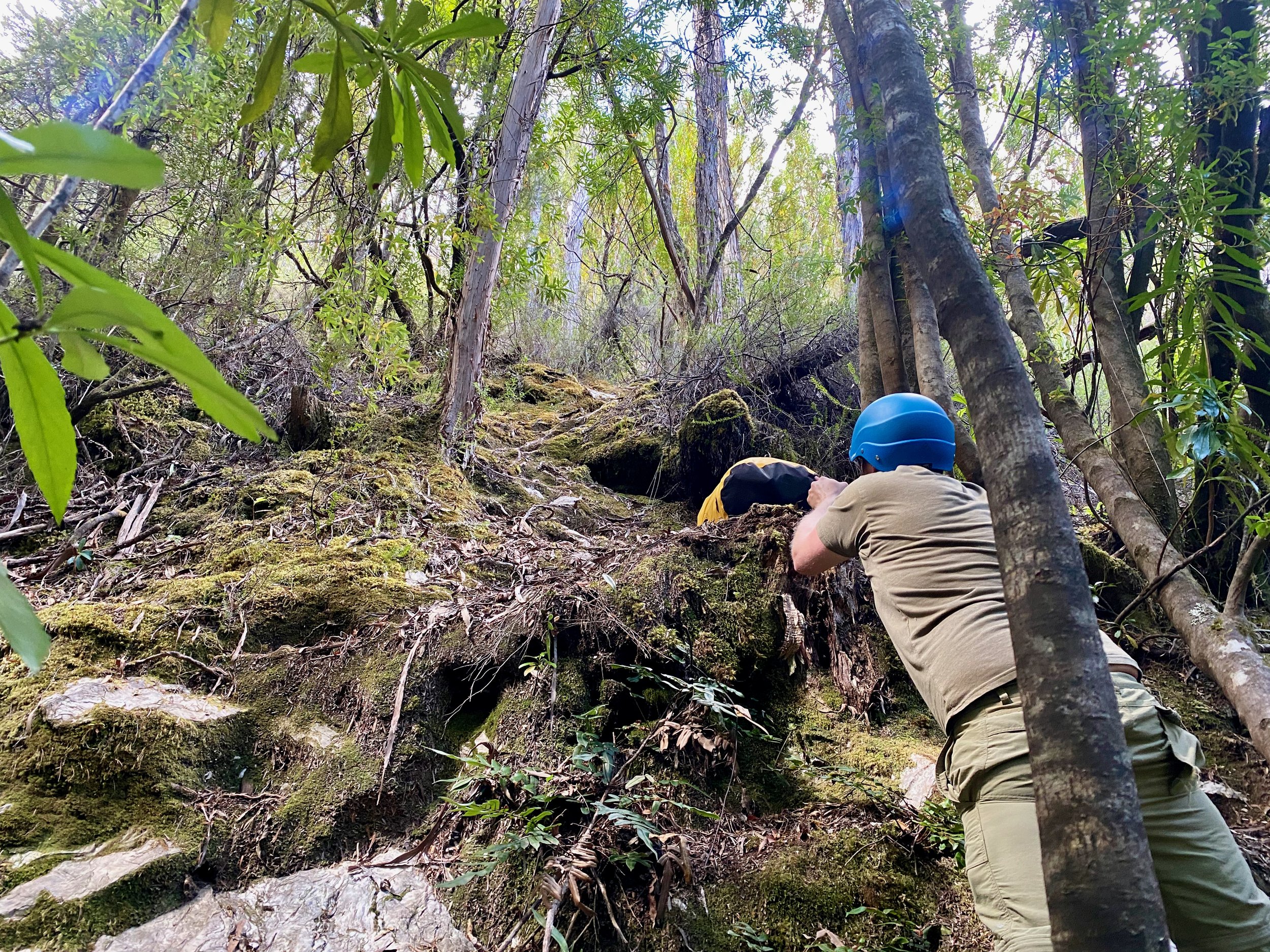
With the water so low, travelling the 3km down stream took us a full 3 hours, with many rapids having to be waded while dragging the boats. That said, there were still plenty of runnable rapids, and a couple of fun drops. There was only one drop that two of us chose not to do, but that was easily portaged.