Packrafting the Denison and Gordon Rivers
In early February 2022, Col and I set out on a week-long mission to packraft Tasmania’s Denison and Gordon Rivers. This saw us depart Strathgordon on a Monday, hiking 5.5km to the Denison and rafting around 100km to reach Strahan seven days later.
A fuller write-up of the expedition can be found below the video.
Trip Video
Getting There
The track to access the Denison River is itself remote, starting from the north-west corner of Lake Gordon (shown in green on the map below).

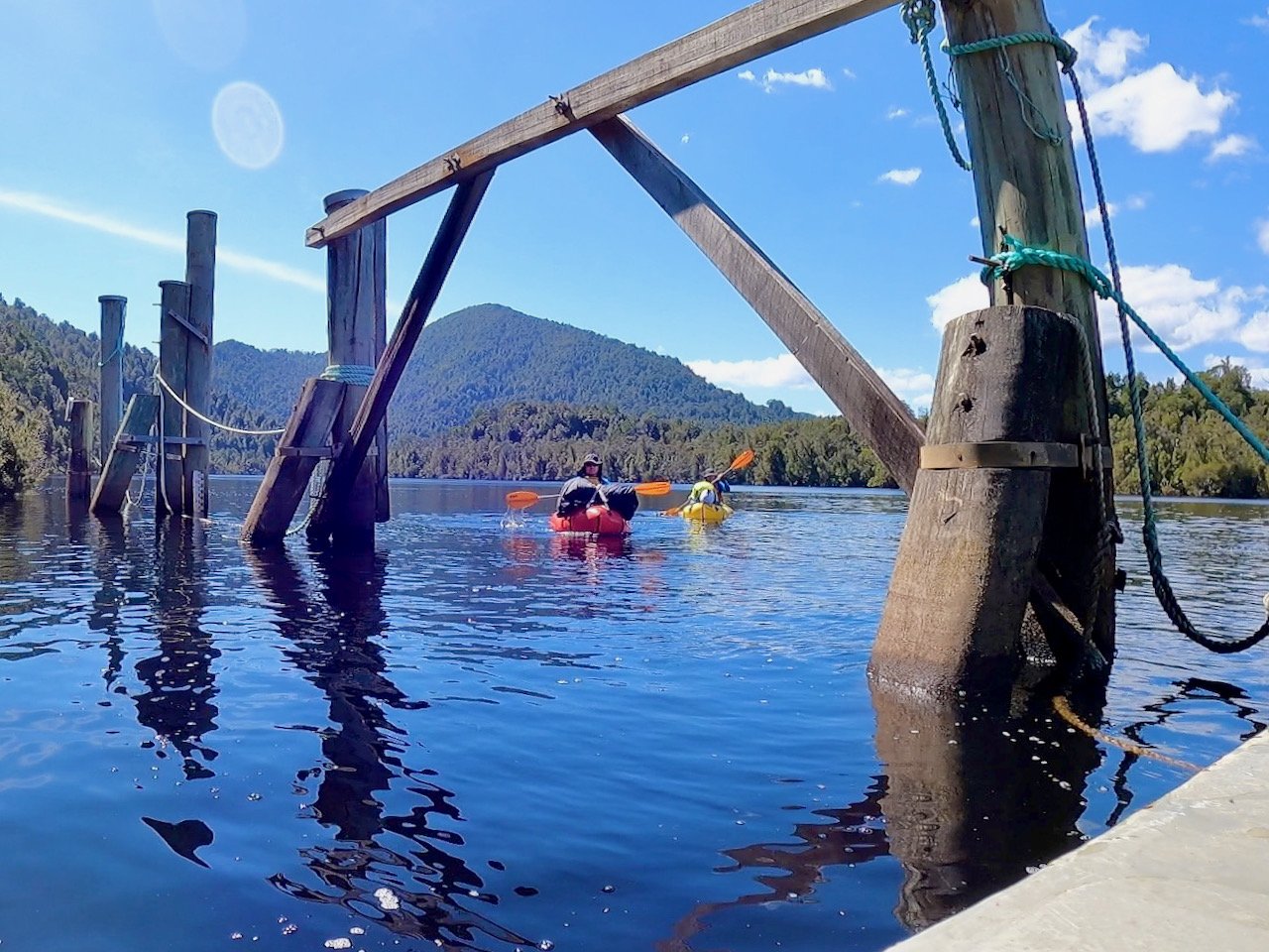
To get there, we enlisted the help of a friend with a boat, putting in at the boat ramp in Knob Basin, near the Gordon Power Station.
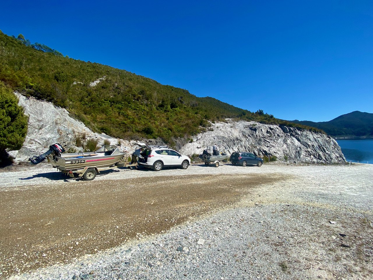
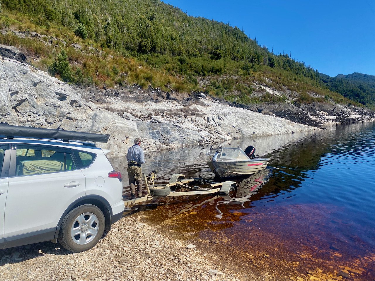
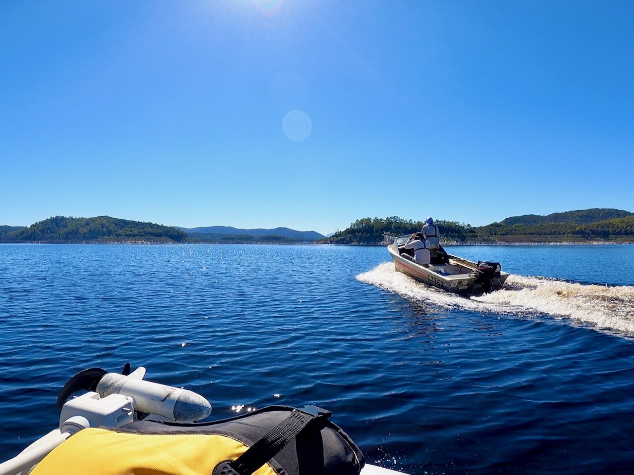
The approximately 16km boat ride across the lake to the top of Peace Basin took as about 40 minutes.
The Track
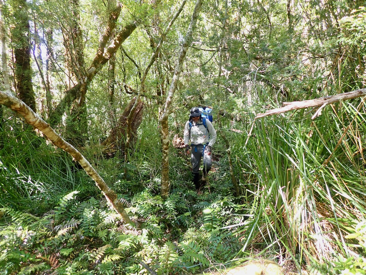
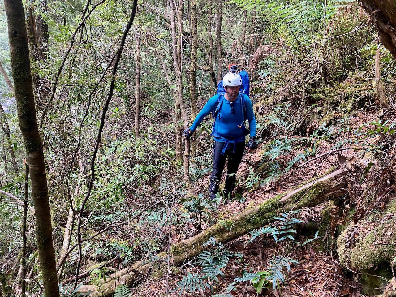
The next challenge was finding the track. From my research, I knew the start was marked with tape, but I didn’t have a great indication of the actual route. From examining maps and videos of other people’s trips, the latter part of the track obviously followed a ridge line, however I was off with my assumption as to the initial part of the track. I had assumed it would take the ridge line to the north, which also seemed to be clearer of vegetation, and then swing around to the west to join up with the latter part of the track. In reality, the track goes directly, and steeply, north-west from the far right corner of the bay depicted in the photo above.
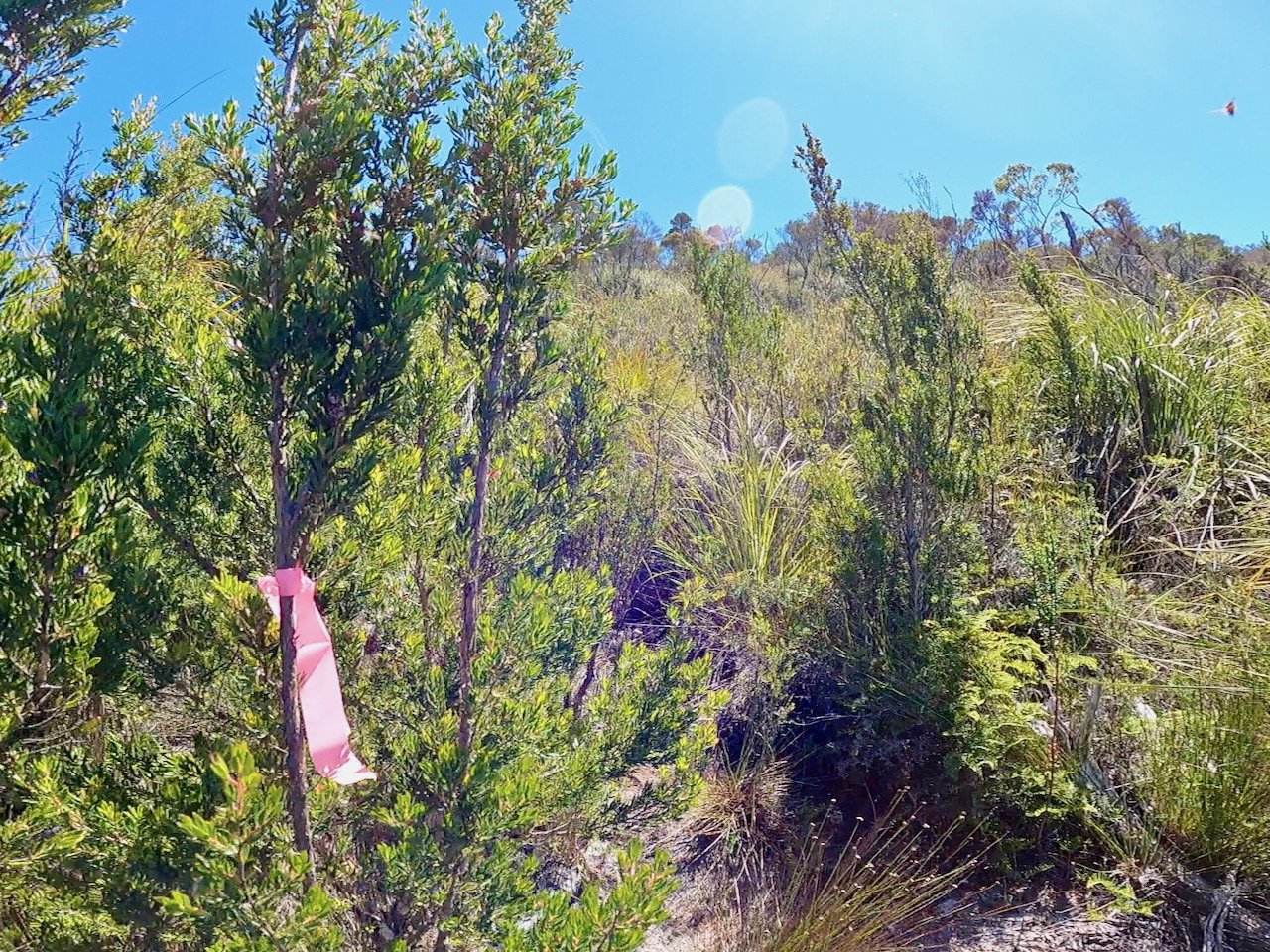
The track, for the large part, is not well marked, with further tape along its length being very occasional. However, the pad is reasonably distinct, although that didn’t stop us taking a few wrong turns — possibly the result of others before us taking the same wrong turn and adding to the false pads. However, wrong turns usually became obvious pretty quickly, and on back-tracking, we were able to find the route we should have taken.
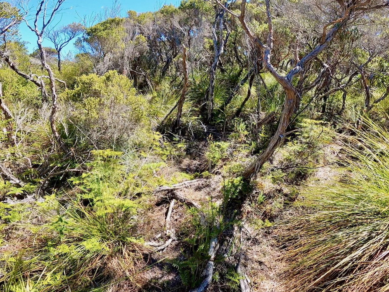
About an hour after setting out, walking roughly 800m through reasonably steep and dense bush, we broke out into a flatter area of button grass and tea tree. The walking here was easier and also saw a slight bit of down hill to a saddle, before we again entered denser forest and started climbing again.
About 2.3km in, we reached the top of the range we had to cross, although being within the forest this wasn’t obvious and we had no view of the Denison to our west (or north-west, being the point where we would join it). As we slowly started heading down along the ridge, we did take a false pad to the left (south-west) that took us some time to find where we should have gone. The false pad was reasonably clear, but headed very steeply down, where the actual route continued along the ridge line to the north, but was obscured by fallen trees.
This ridge line track made for much easier walking, although having a significant drop off to the right. At the end of the high part of the ridge, we got our first decent view of the Denison River below the Prince of Wales Range.

At the end of this high part of the ridge, we were tempted to continue down the ridge to the north, however we apparently missed a turn to the left, with the track heading down the side of the ridge to the north-west. From here the track was reasonably easy to follow all the way to the river, although a few hundred metres out from the river we left the open button grass and tea tree for thick bush, including the dreaded horizontal scrub!
All up, the walk to the river took us just over 6 hours. This was significantly more than the estimates we’d been given of around 4¼ hours, but was partly contributed to by Col having tweaked his back in the days before the trip, meaning he needed fairly regular breaks. The 29ºC day, added to the additional time we took, also meant we were both out of water by the time we reached the river.
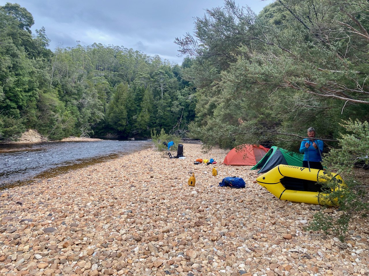
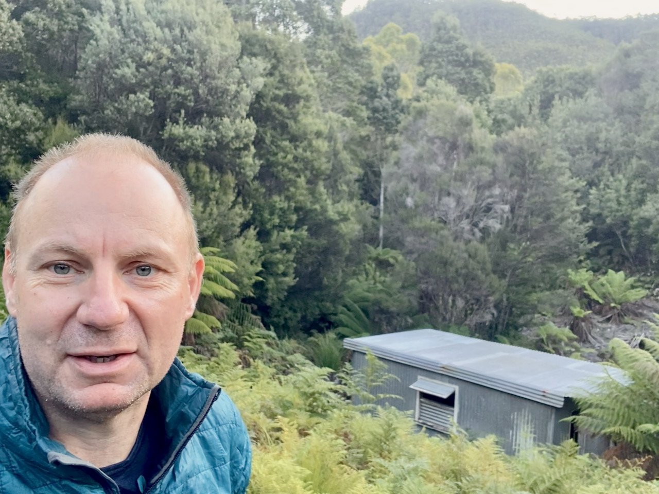
Thankfully, we got there just before dark and were able to set up camp, finding some reasonable clearings for the tents a short distance downstream from where the track meets the river.

The Denison

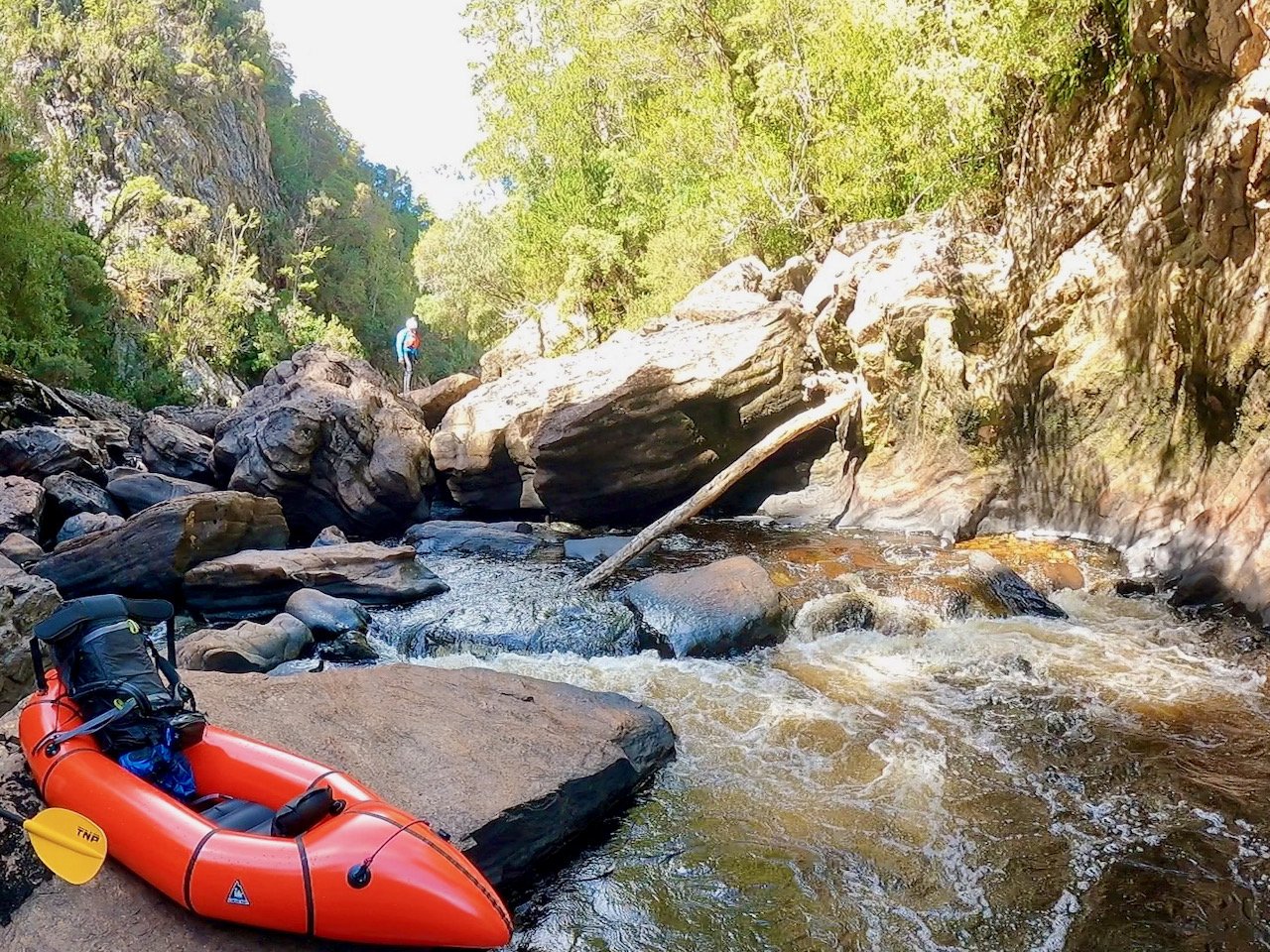
The following morning we set out on the Denison, initially wading across the river at the point where the track joins it, to reach a shingle bank that gave more space to inflate the boats and strap the packs to them.
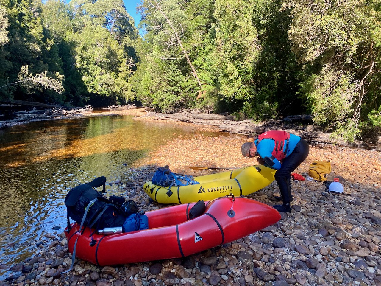
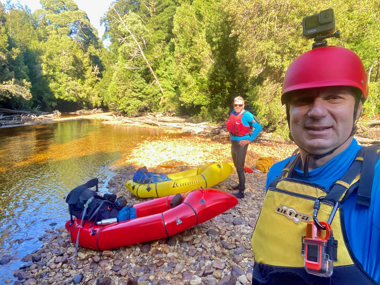
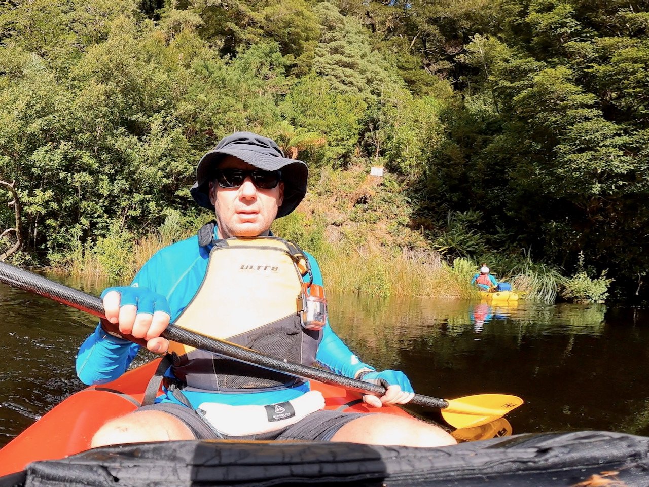
The river was very low at this point, which initially saw us having to wade down it, dragging to boats behind us, and portaging over shingle banks. However, there was soon enough water that we could comfortably paddle most of the river, with this section being a very easy paddle of mostly flat water or small shingle rapids.
About 4½ hours after setting out, we reached the Truchanas Huon Pine Forest, but sadly didn’t take the time to explore the forest to see the giant huons. The water level had meant we had been slower than anticipated getting to this point, and having seen may huons lining the river, we decided to continue on — a regret in hindsight.
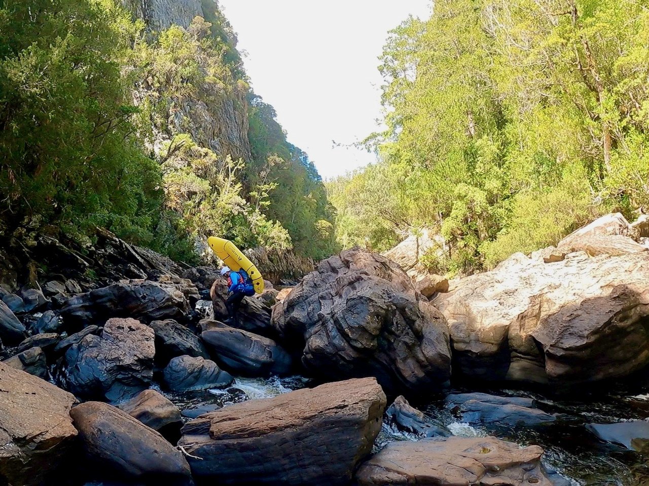
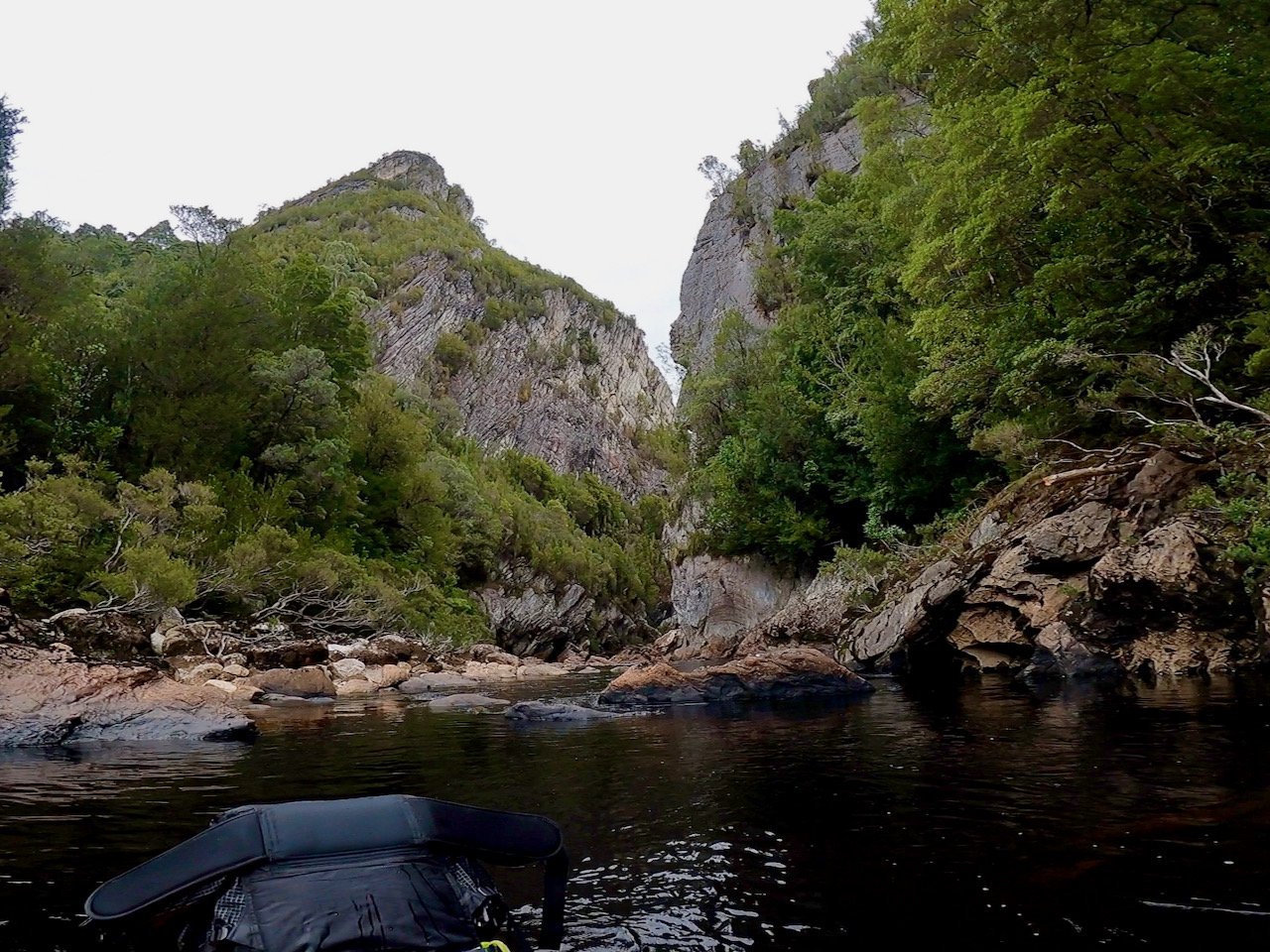
Around an hour after after leaving the huon pine forest, we reached the start of Marriotts Gorge. With the water level being so low, this took us much longer than we had planned for. We’d been told the gorge was straightforward and any portages would be jumping over brief obstacles. In reality, I think we portaged more of the gorge than we paddled!
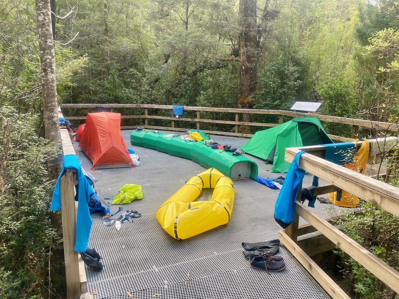
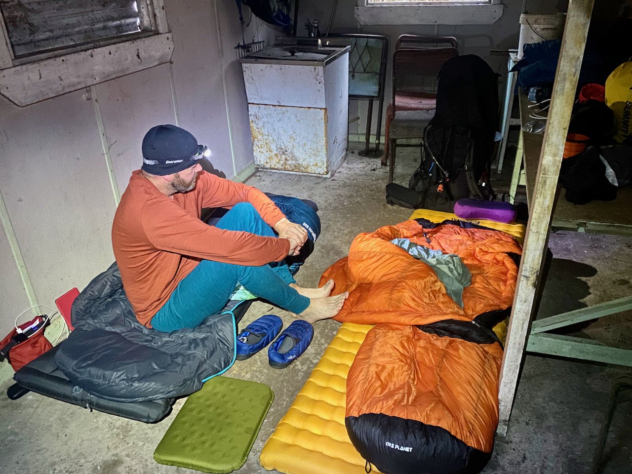
The portage pain continued after the gorge, meaning we didn’t even make it as far as Freedoms Gate, let alone our proposed camp site at Rosslyns Pool. Instead, we ended up taking the first clearing we could find among the rocks to set up camp for the night, with even this not occurring until after 8pm.

The following morning, we continued the portage/paddle hell down to and through Freedoms Gate.
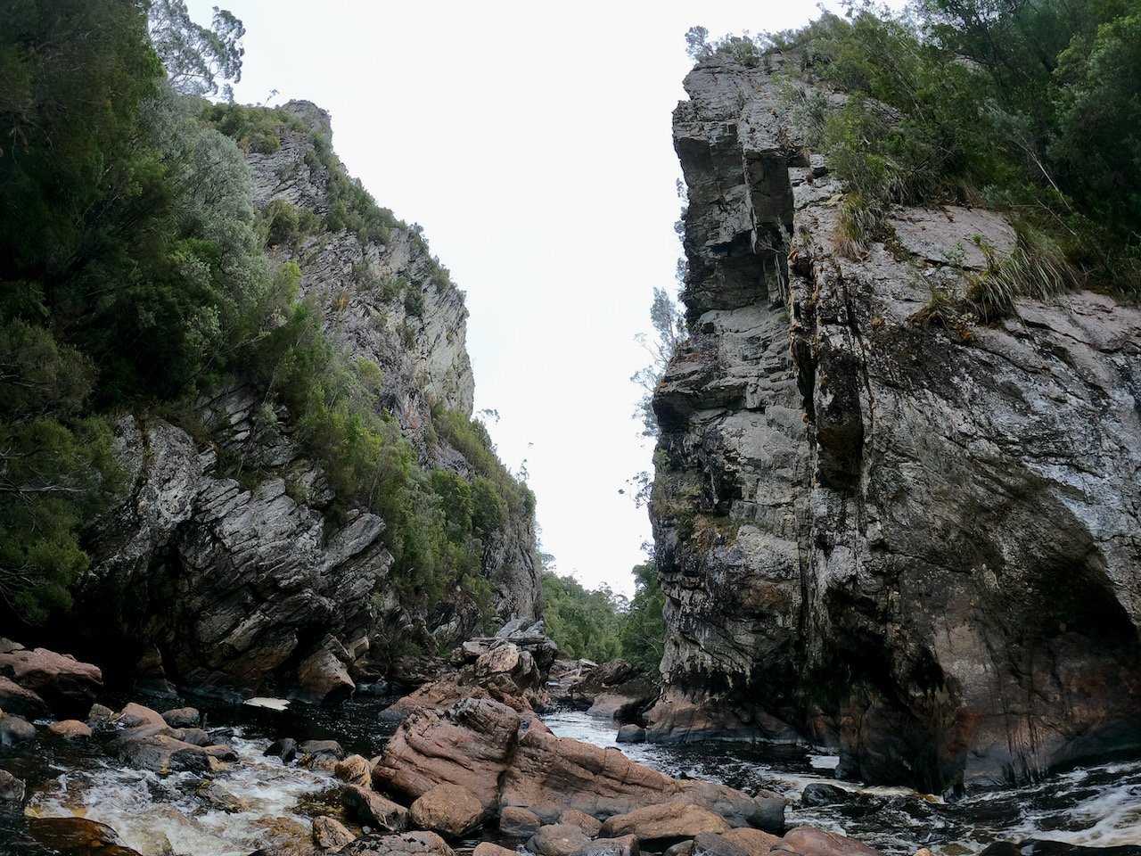
We’d been told Freedoms Gate looks menacing but it is quite safe and easy at low-medium water levels. But our low water reality meant there wasn’t much we could paddle at all. Even once through, we faced more portaging before needing to wade most of the way through a rock garden down to Rosslyns Pool.
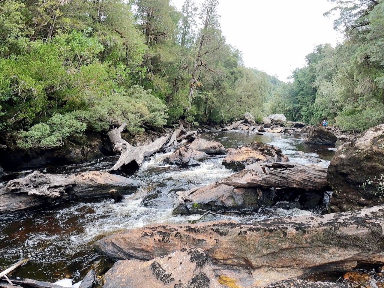
From Rosslyns Pool, where we had lunch, the river became much easier. There were several sections of flat still water and we were able to paddle most of the rapids, which were simple shingle rapids for the most part.
Just after passing the junction with the Maxwell River, we encountered another group of pack rafters who had set out a couple of days before us. They had found a seeming excellent camp site on the left bank.
Our original plan had been to continue through the Denison Gorge this day and camp at the confluence with the Gordon, but the lateness in the day meant this wasn’t even a consideration. Instead we initially thought we’d get as close to the gorge as we could, but on finding a good shingle bank for camping about a kilometre further downstream, we decided to have an early day.
That night it rained quite a bit, but cleared enough in the morning that we were able to pack up camp without issue, although we had some drizzle as we set out on the river again. Just after leaving camp I saw a platypus swimming across the river immediately in front of me, which was a highlight of the day.
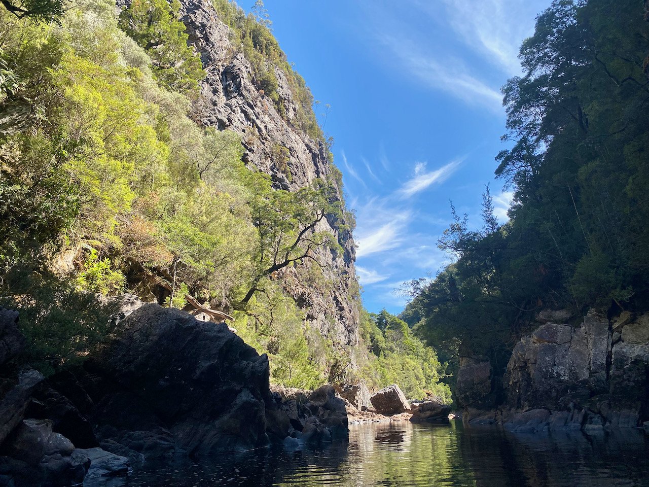
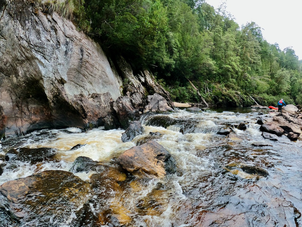
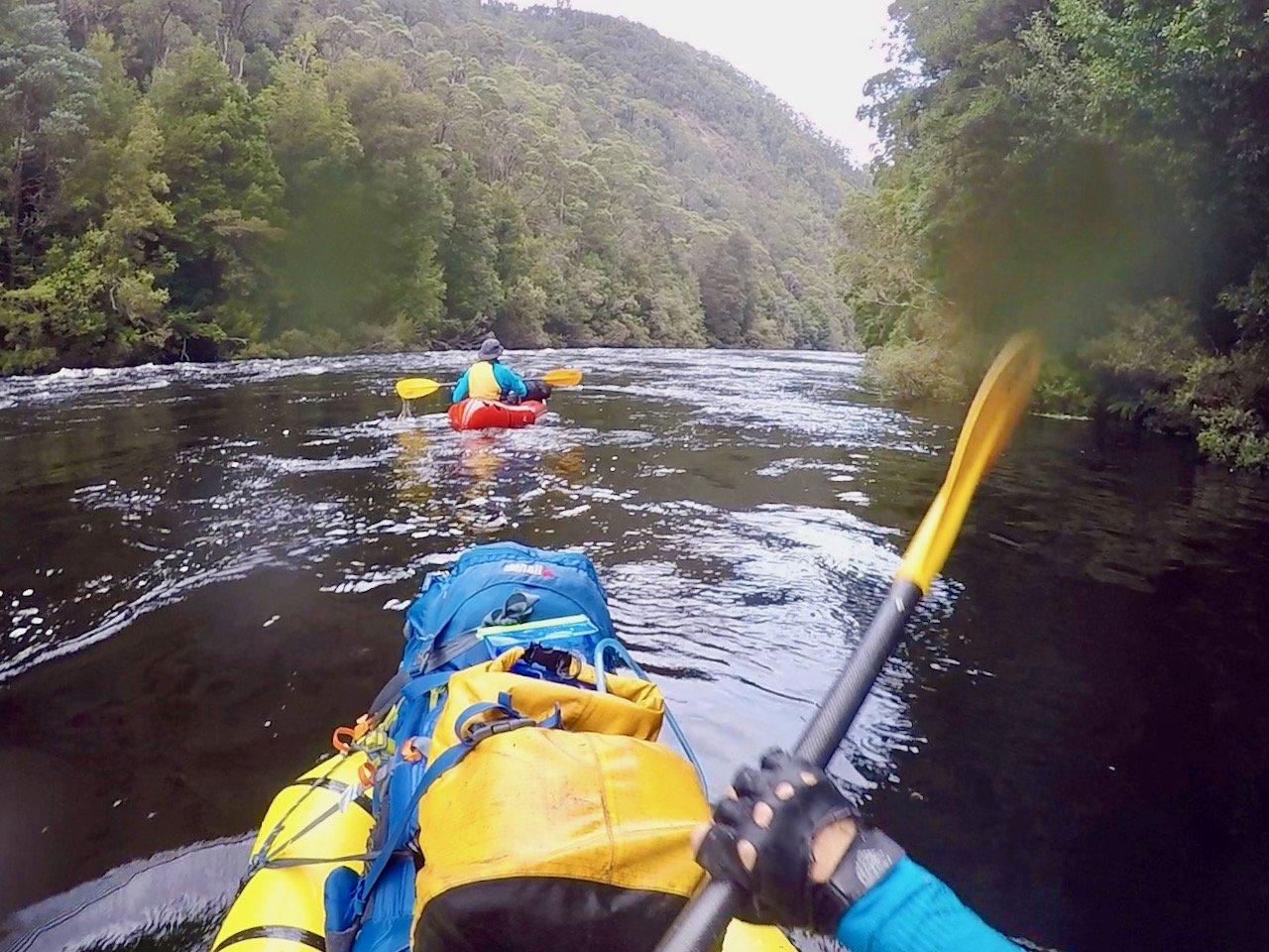
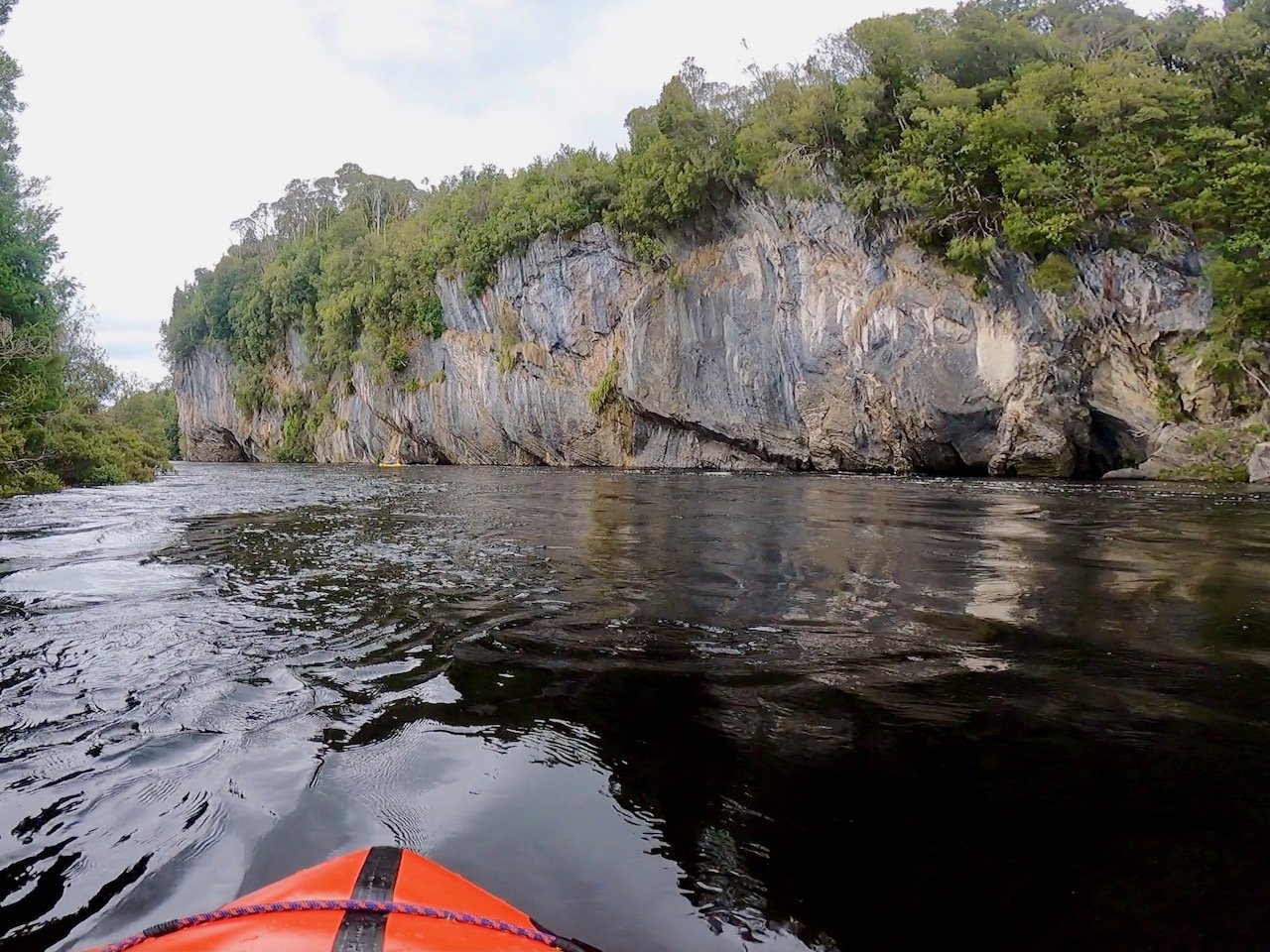
From the camp site to the start of the Denison Gorge, the river was an easy paddle. We initially had lots of flat water and simple shingle rapids, a few of which we had to wade. However, as we got closer to the gorge, there was a very noticeable descent down to it, although none of the rapids posed any issue, again mostly being shingle rapids without any obstacles in them. But on reaching the gorge, the portage-fest began again.
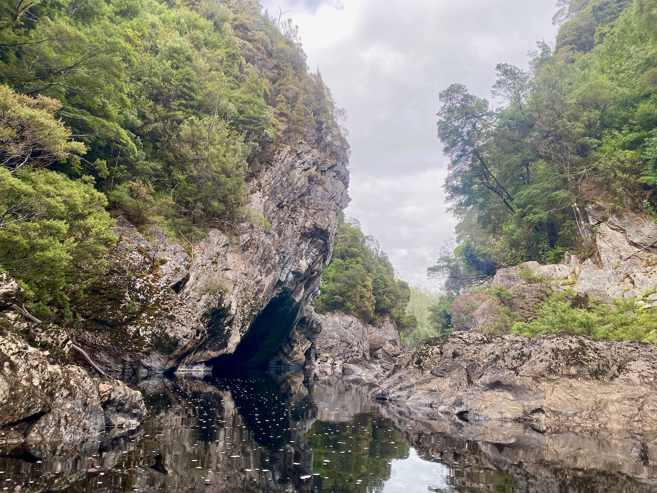
We found the gorge quite hard going. As our skill level means we aren’t really comfortable with anything beyond grade 2 rapids, there were a number of rapids where we simply chickened out and decided to portage. Added to this, there were lots where the low water level, or other obstacles, meant we had no choice. But portaging wasn’t easy, requiring us to scramble over boulders within the gorge, which were wet and slippery from the overnight and morning rain.
At one point though, we encountered a drop that we didn’t want to paddle, but couldn’t find a good portage route around. This required us to take a bit of a leap of faith, but we both made it through the rapid without a swim!
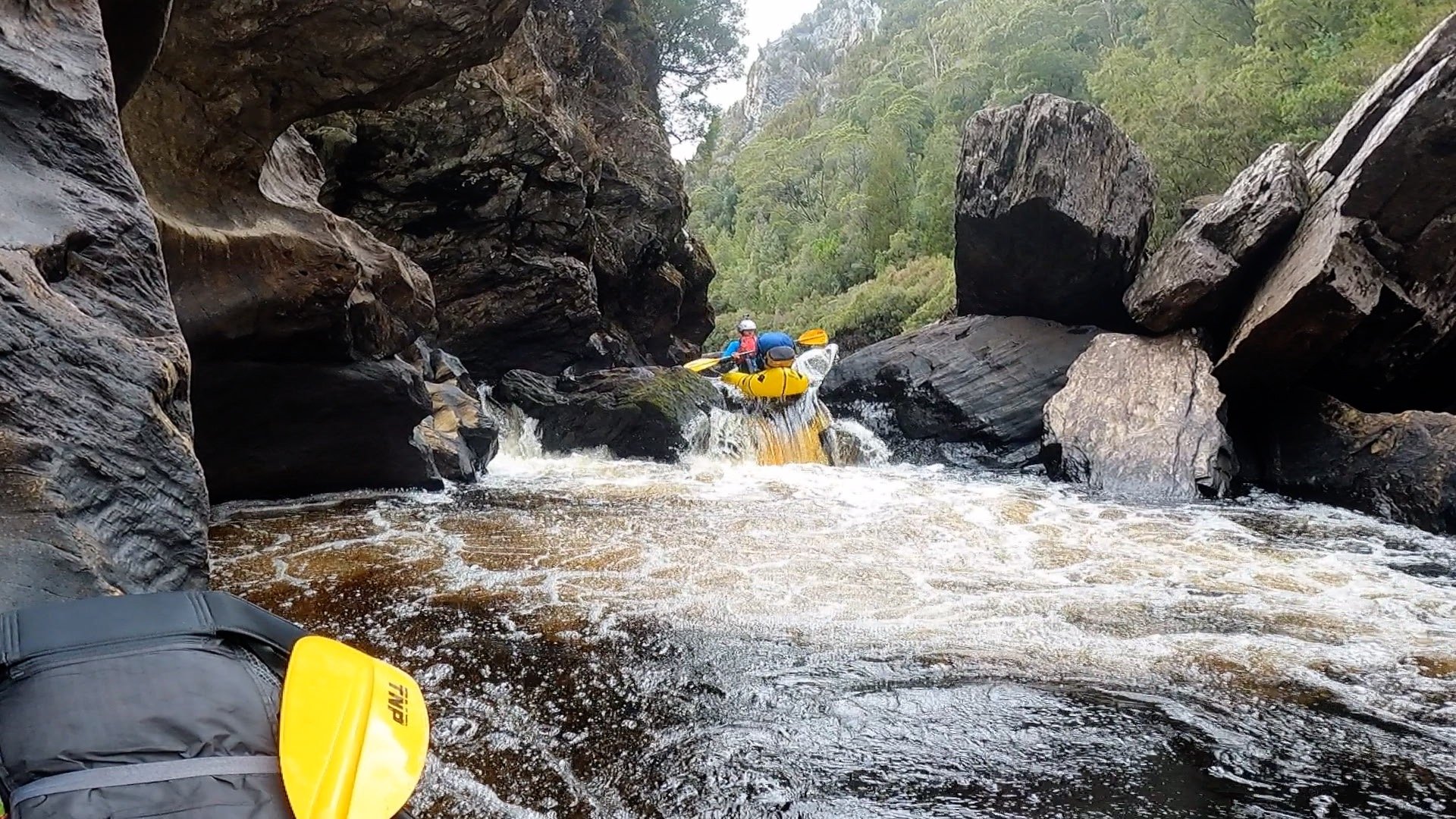
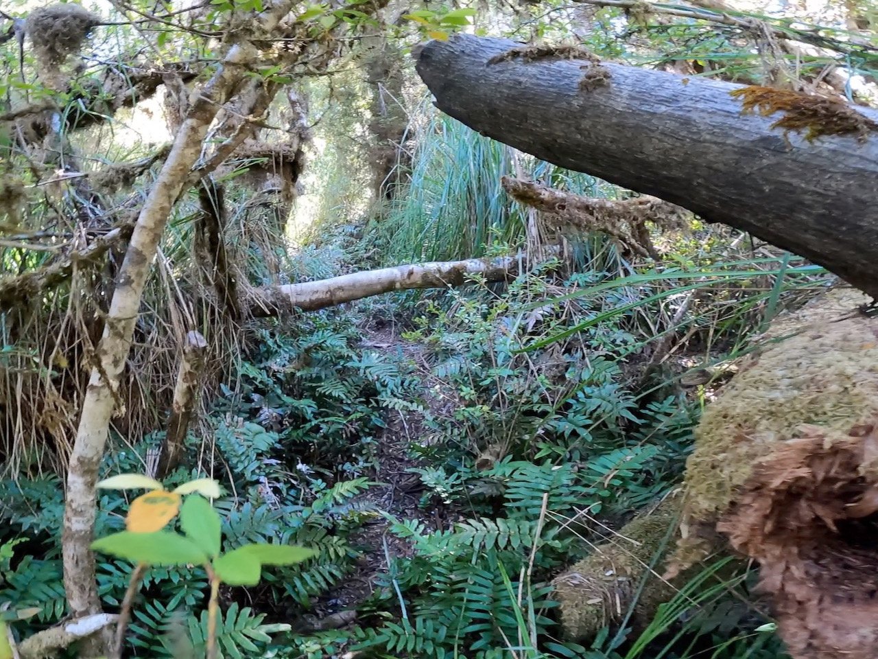
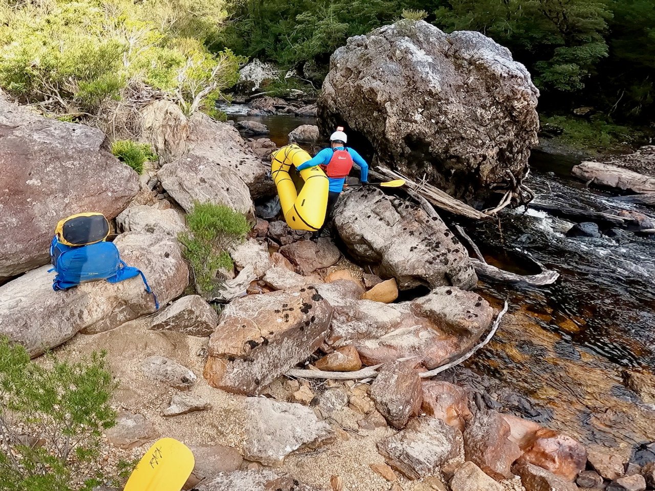
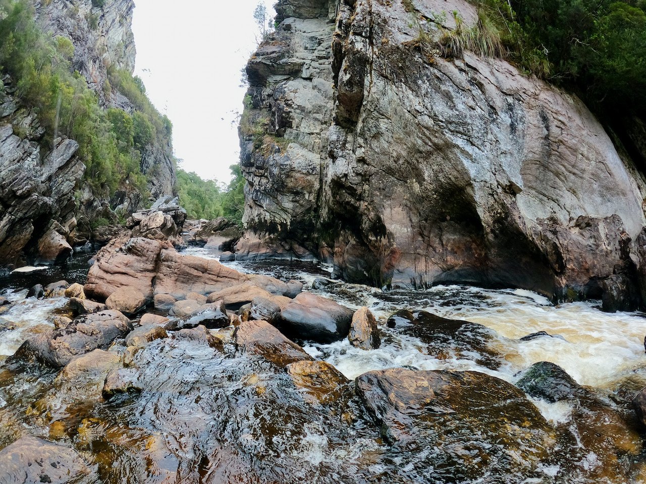
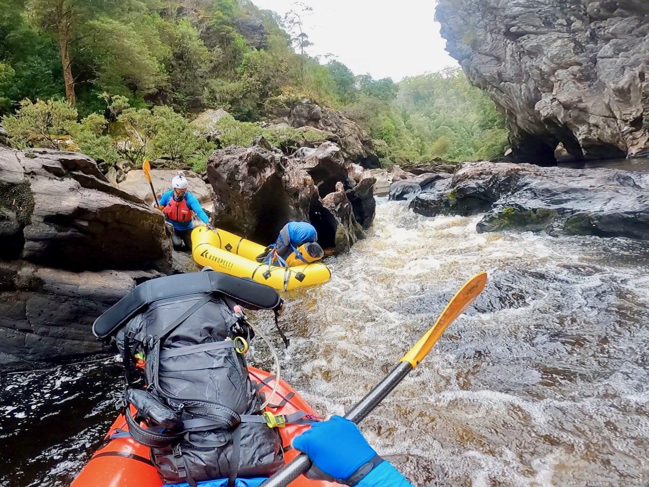
Adding to our stress in getting through the gorge was the fact we didn’t have a clear understanding of where the portage track in the gorge was. We knew at one point the river disappeared under house size boulders and that we needed to take a portage track on river left. But not knowing where the portage track started meant we were constantly questioning if we had paddled too far down the gorge.
As luck would have it, the group we passed the day before caught up to us right before the portage point. They had better information as to where the portage track started and were able to point it out to us.
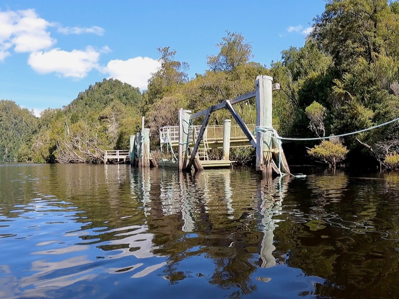
Their advice had been to look for a phallic-like rock in the river (see image below), but perhaps more obvious than this was a giant flat rock immediately before where we had lunch (sadly not photographed).
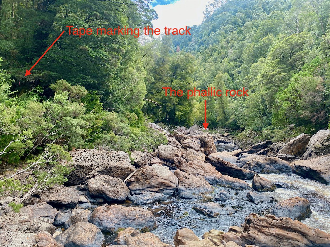
The portage track is also quite close to the end of the gorge and is only about 400m long. However, as it is quite steep, it took as about 40 minutes to do after packing up the boats.

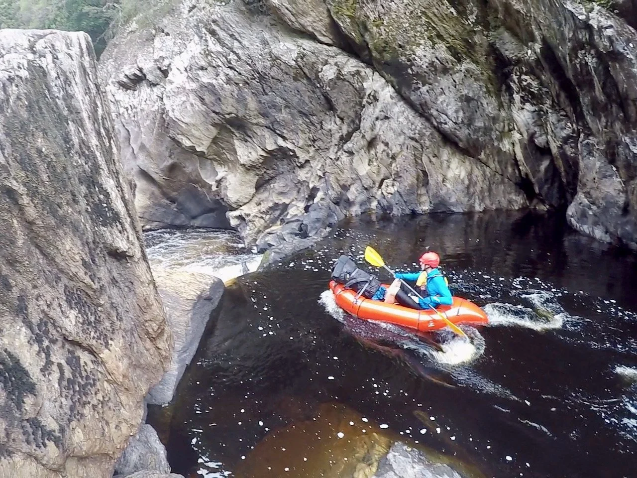
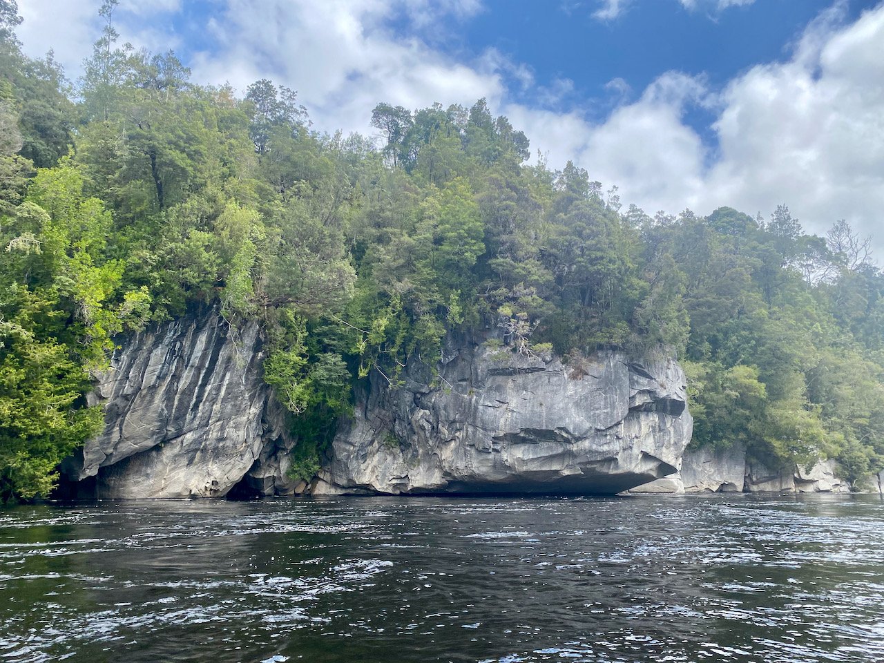
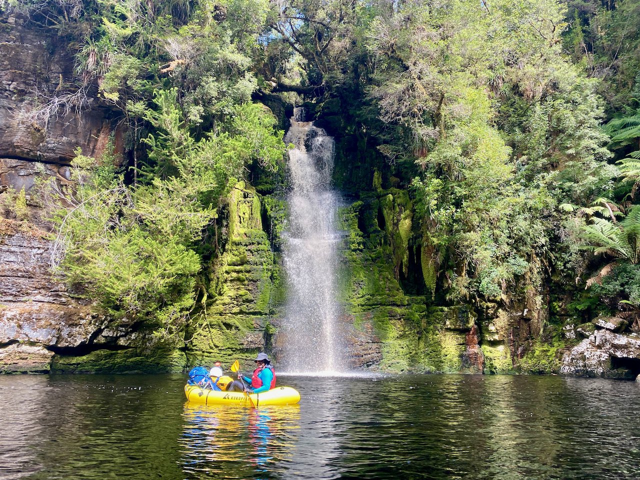
After portaging this section of the gorge we re-inflated the boats and got back on the water. There were some spectacular sections here, with still water below massively high and sheer rock walls, although we didn’t get much photo or video due to both GoPros inadvertently being activated on the portage track and ending up with flat batteries as a result.

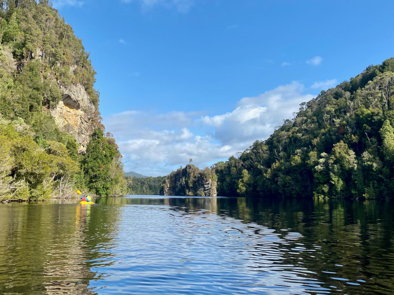
As we continued on to the confluence with the Gordon, we still had a number of rapids to run and/or portage. To be honest, we were a bit over it by this stage. Getting to, and through, the Denison Gorge had taken all day, and we longed for the respite of some easy paddling. But this section of river wasn’t long, and about an hour after putting back in on the water we’d made it to the confluence with the Gordon.
The Gordon
We had heard there was good camping at the confluence with the Gordon, but on reaching it, there was nothing obvious from the river, with the forest coming right down to the water’s edge. With the other group of packrafters looking to camp here, we decided to continue a bit further on.
The Gordon was running strongly, in stark contrast to the Denison, so we presumed the Hydo was releasing water as a result of electricity generation. This helped us speed down the river, but we didn’t immediately sight any potential camp sites from the water.
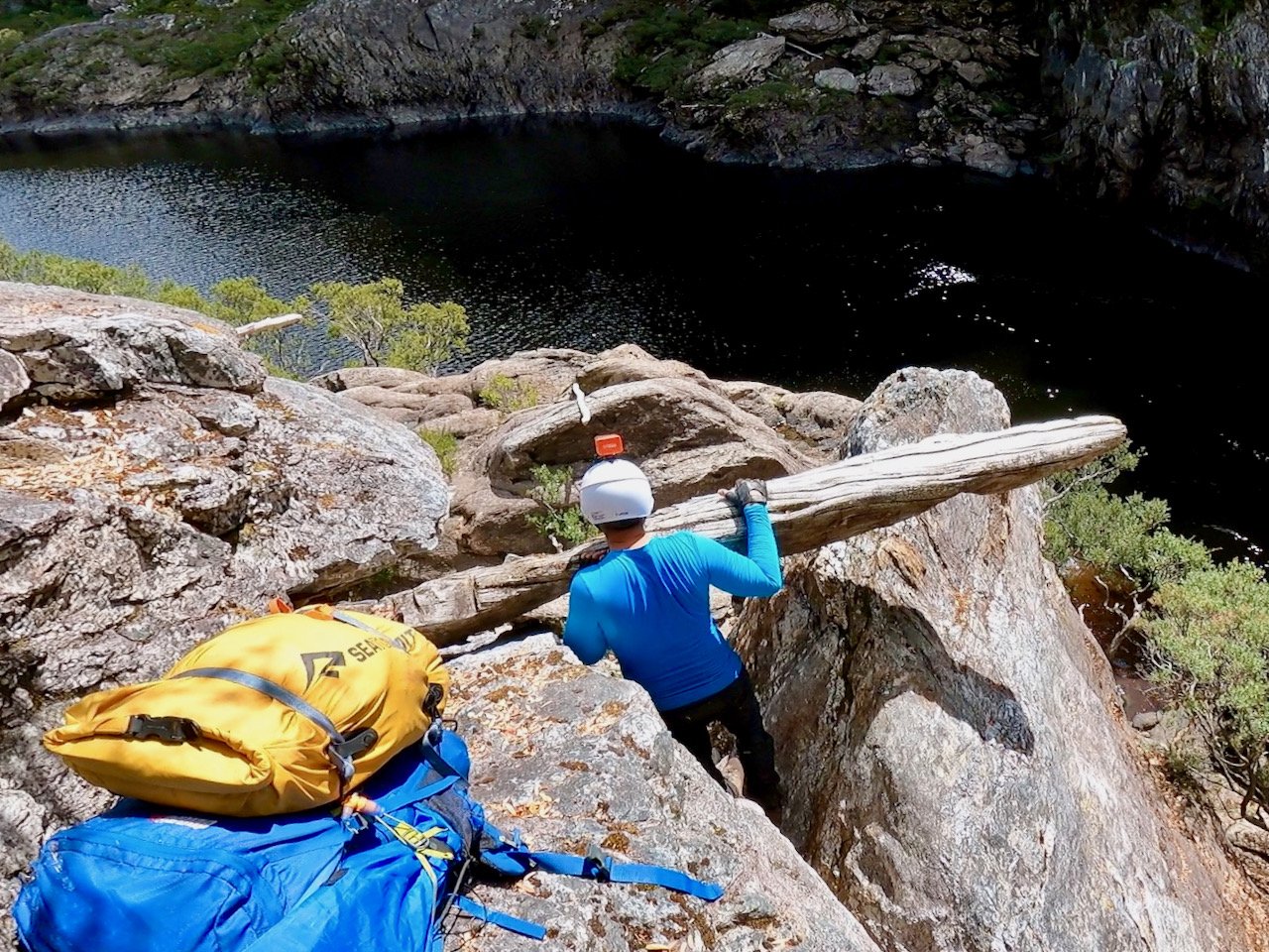
We had thought Routli Cave may have been an option, having seen this in Rob Parson’s video of his trip. However, on reaching it, the cave was flooded — meaning it probably isn’t a wise camping site if the Hydo generating power could put it underwater at short notice!
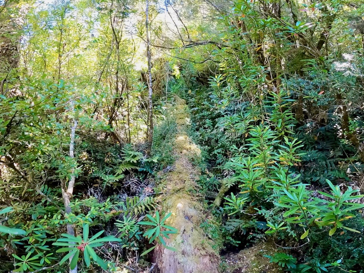
So we continued on further to the Sunshine Hut, above the Sunshine Gorge, another place Rob had stopped in his video. The access route to this is found on the north-south section of river, before turning left into the gorge, and is marked by a helicopter access sign. What we didn’t know though was that the track up to the hut was a tremendous slog. Although only about 500 metres in from the river, on a track well-marked with tape, there is about 100 metres of elevation gain over this short distance, on a track littered with fallen trees.
The following morning we had a similar slog down the hill back to the river, meaning we got going a bit later than planned. But the river was still running fast, so we thought that would help us make up time.
As we turned left into the Sunshine Gorge, the spurious currents and whirlpools in the river were strong. The Gordon, from the confluence with the Denison, is wide and deep, so the rapids don’t consist of physical objects — e.g. rocks. However, as the water was constrained by the gorge, we started encountering standing waves. Towards the end of the gorge, at this water level, they became immense, and it was one hell of a roller coaster ride getting through them. In the trough between waves, the wave ahead would be above our (sitting) head height in the rafts!
Somehow we both got through this section without coming out, but for Col in particular it created some anxiety about the potential to lose the raft if we came out, and as a result to be stranded in the wilderness. Sadly, being unprepared for this, we also failed to get any footage of it!
However, once through the Sunshine Gorge, the river was very manageable, despite its volume and speed. The speed of the river also meant we were able to travel the 27km to Sir John Falls in only 4½ hours!
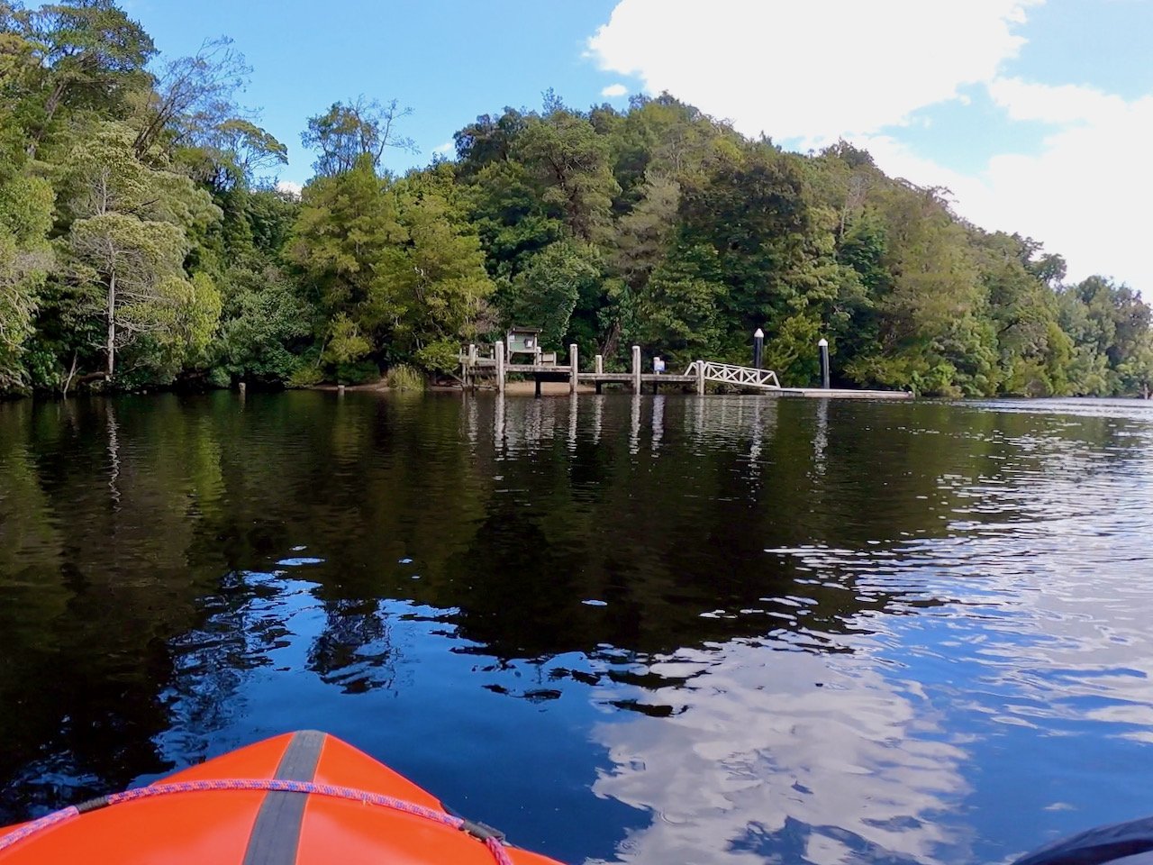
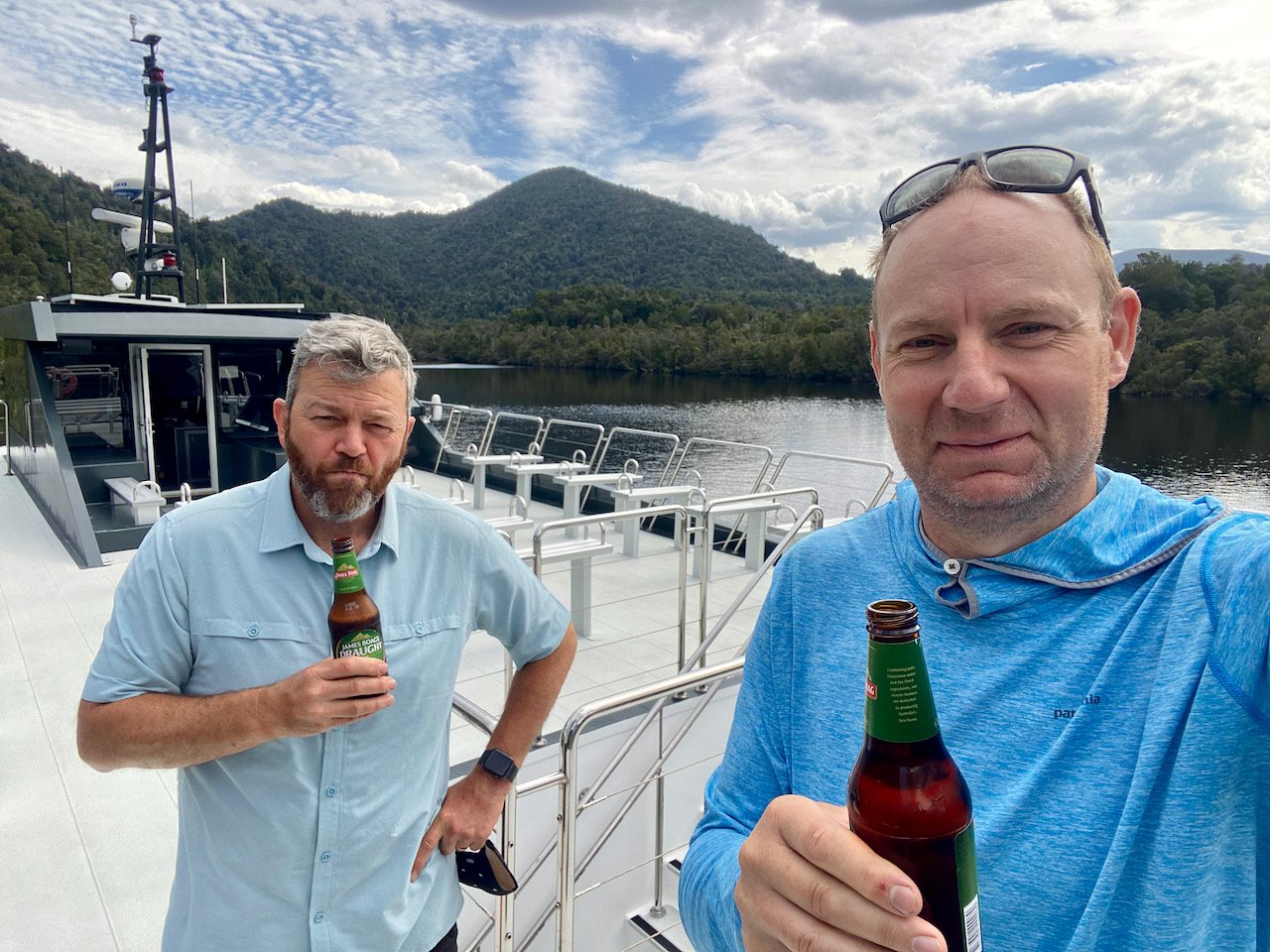
Although we potentially could have finished the trip here, by getting picked up by West Coast Yacht Charters, we had decided to continue on to Heritage Landing and come out with Gordon River Cruises. So the next day we again set out on the river for our last day of paddling, paddling another 23km to Heritage Landing on very still water for a change.
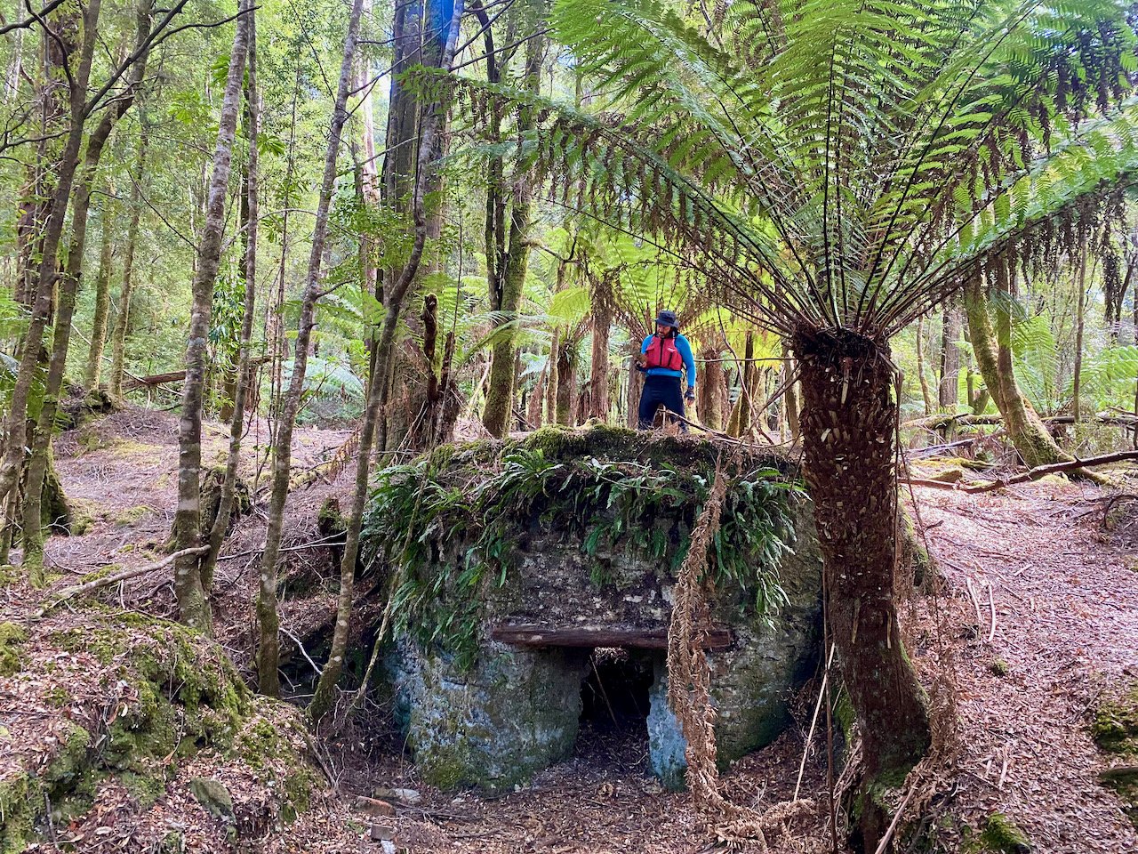
This was a long day, but we took the opportunity along the way to check out Butler Island, the limekiln built circa 1823 by convicts from Sarah Island (for which Limekiln Reach is presumably named), and the camp site at the Eagle Creek track where we had started our Franklin River trip last April.
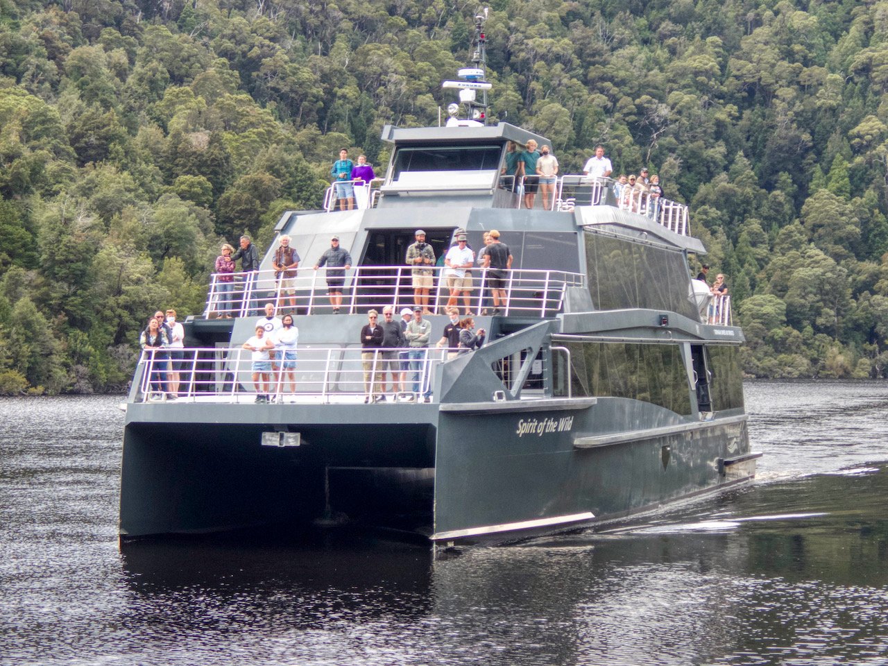
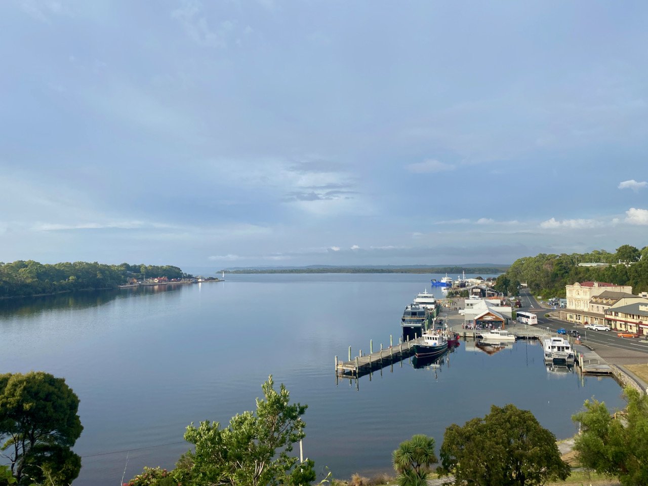
After a long day of paddling, we made it through to Heritage Landing about 3pm, spending the night there, before being picked up by the Gordon River Cruises boat the following morning and being delivered to Strahan, where we finished our trip.