
Mt Arthur
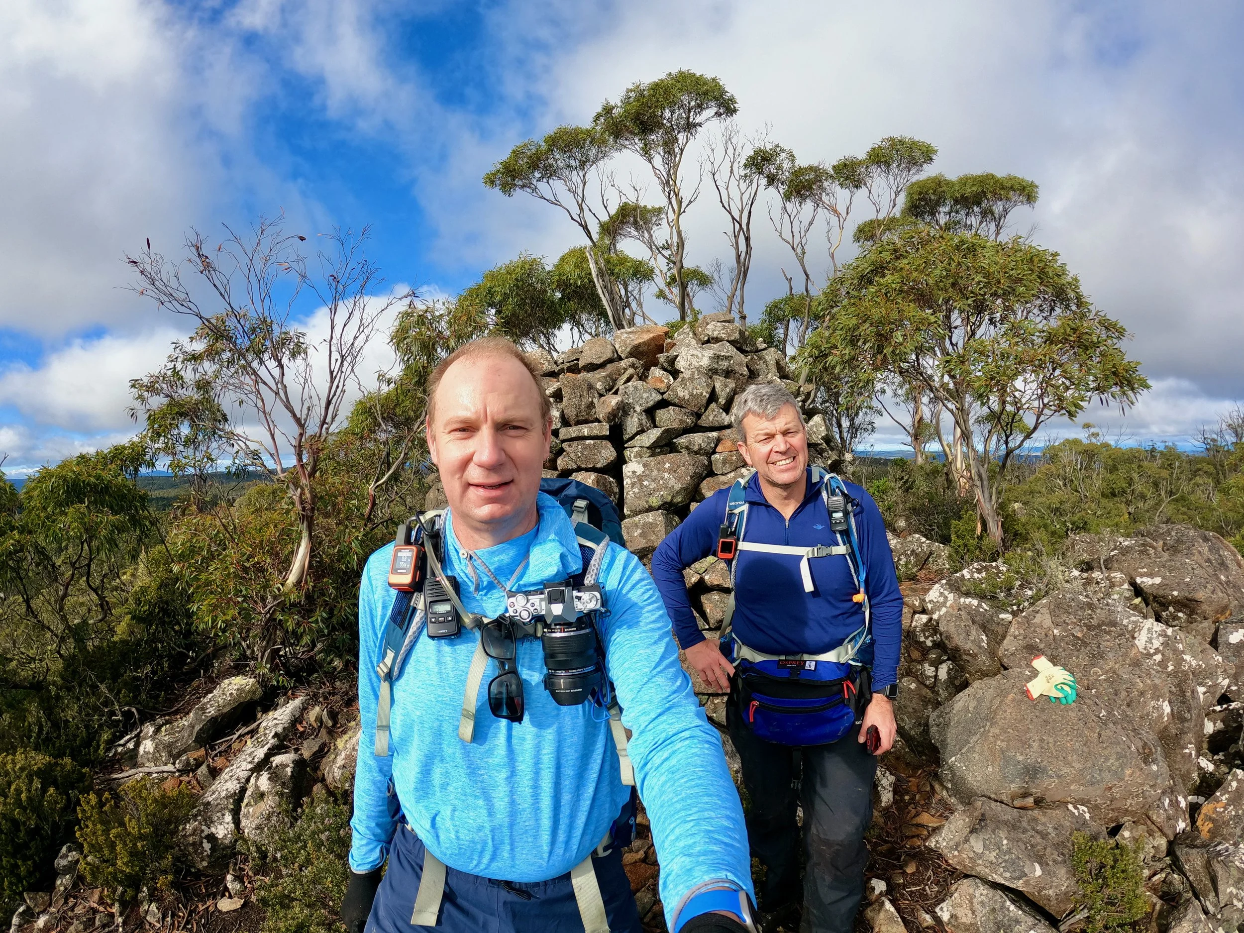
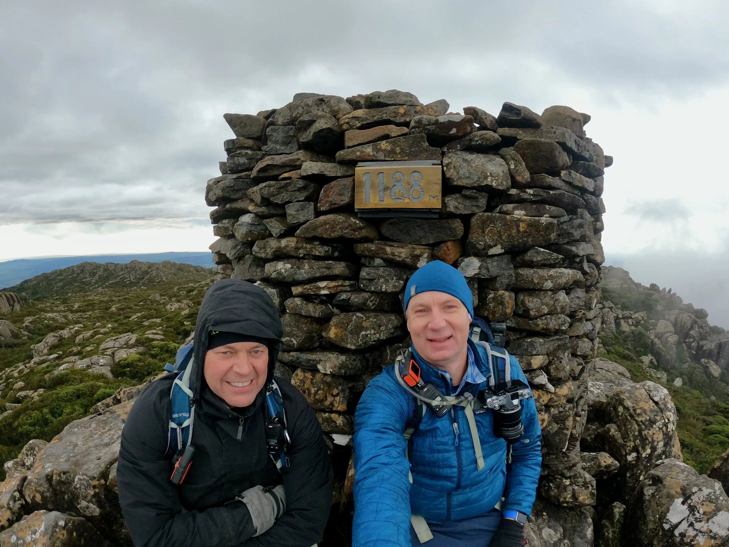
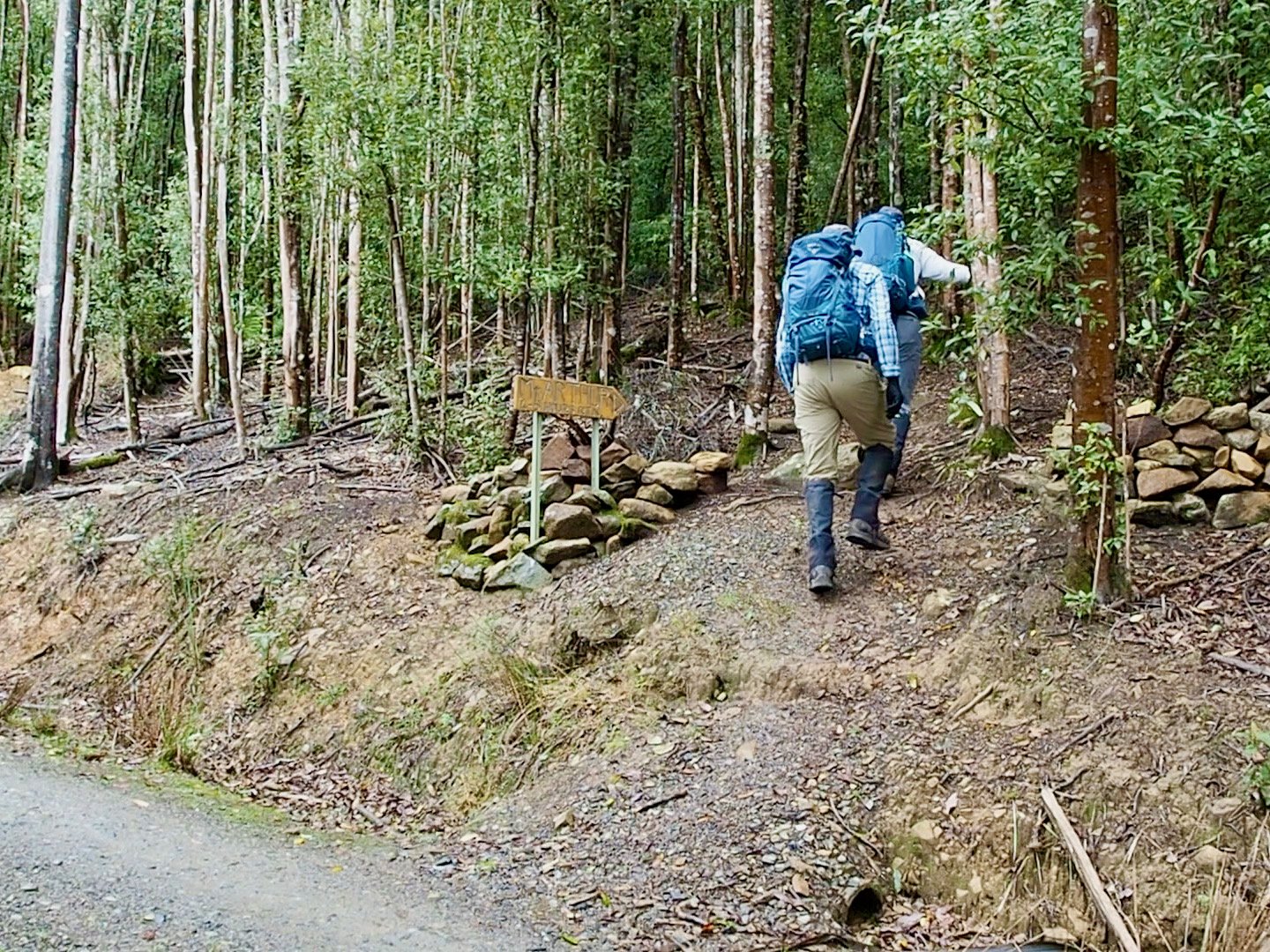
On Saturday the 7th of May 2022, Col and I hiked Mt Arthur near Lilydale in northeast Tasmania. All up it took us 5 hours for the 10km round trip, including approx 20 minutes for lunch on the summit.
Location
The start of the walk is located at the end of Mountain Road, which turns off Lilydale Road just before it reaches Lilydale, and is about a 20 minute drive out of Launceston. AllTrails has a good map showing the location of the start and detailing the track:
The Track
The initial 1.5km of the track was undulating and very easy. From that point there is a noticeable increase in the incline, but the track is still straightforward.
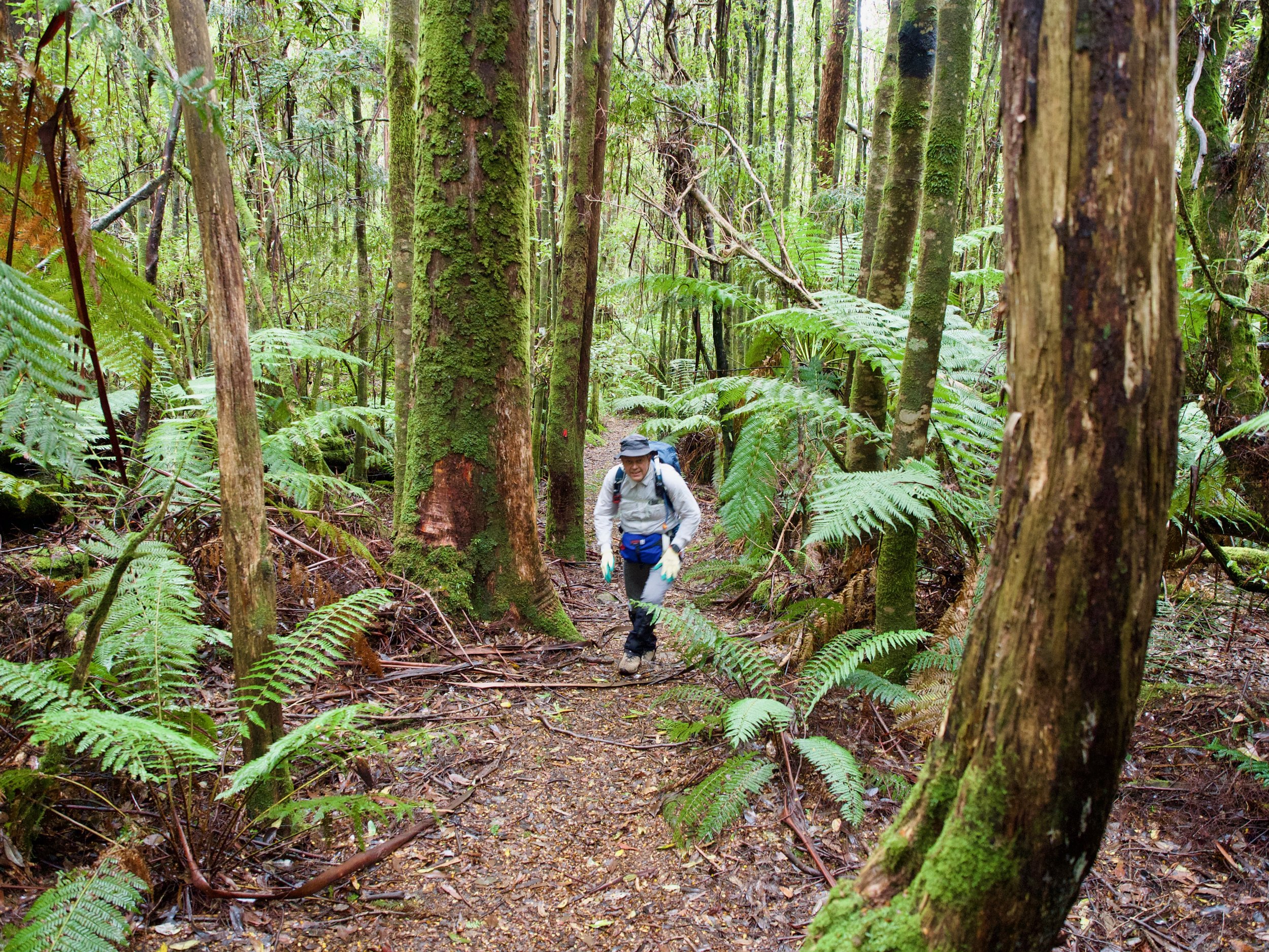
About 2.9km in a boulder field is reached, and while the track skirts this, the going is noticeably more rocky from this point.
About 500m after that there is a junction where you need to turn left for the summit. It took us about 1¼ hours to reach this point. The track that continues straight goes to a fire trail.
From here there is a bit of intermittent scrambling up to the summit plateau, where there is a significant range of infrastructure. On reaching the giant solar panel array, the track continues off to the left across the plateau. On reaching a section of boardwalk, yellow arrow stuck to it indicate the point to leave the boardwalk for the summit.
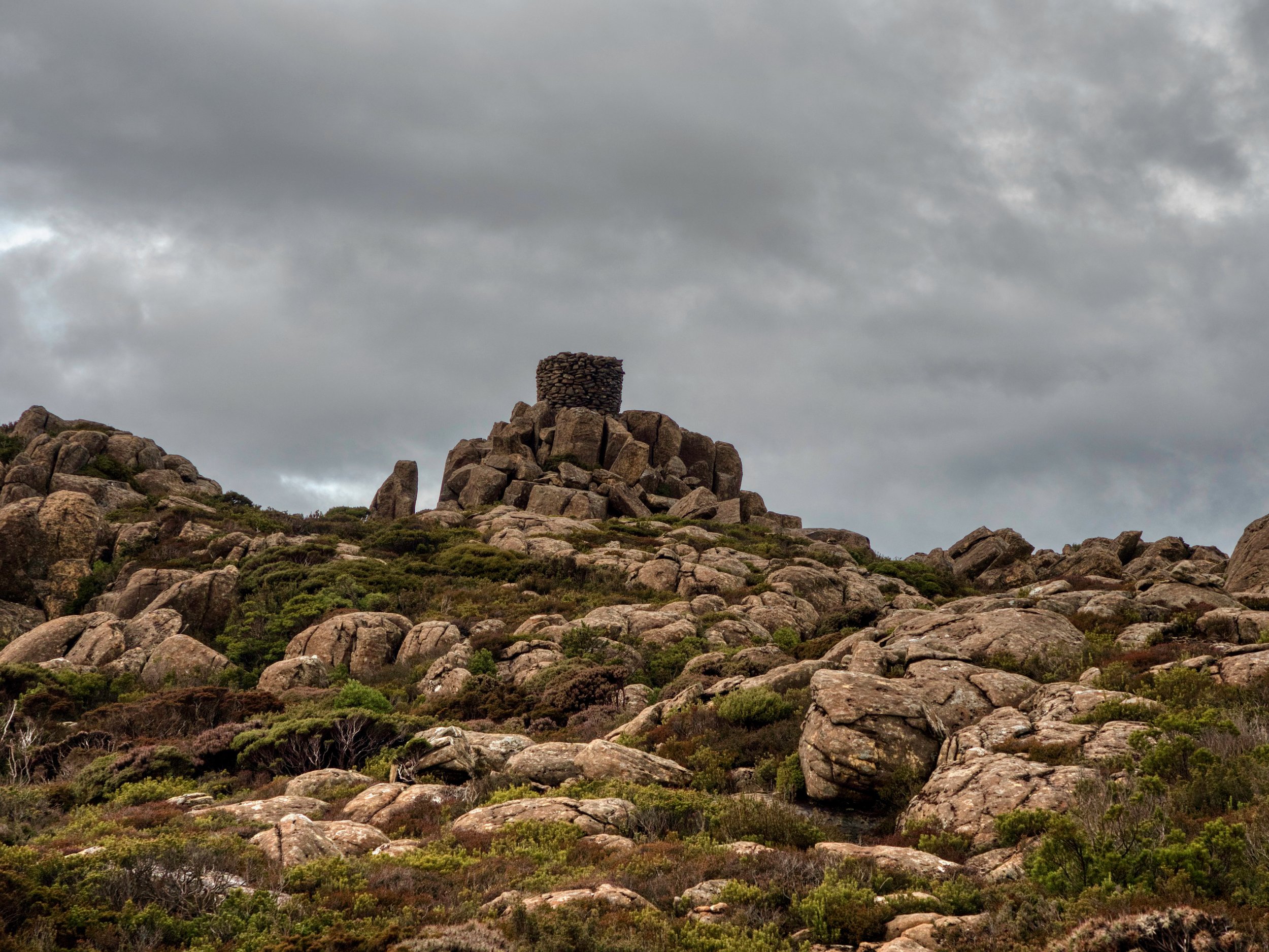
The track to the summit is well marked and the summit itself is marked by a large beehive cairn.