
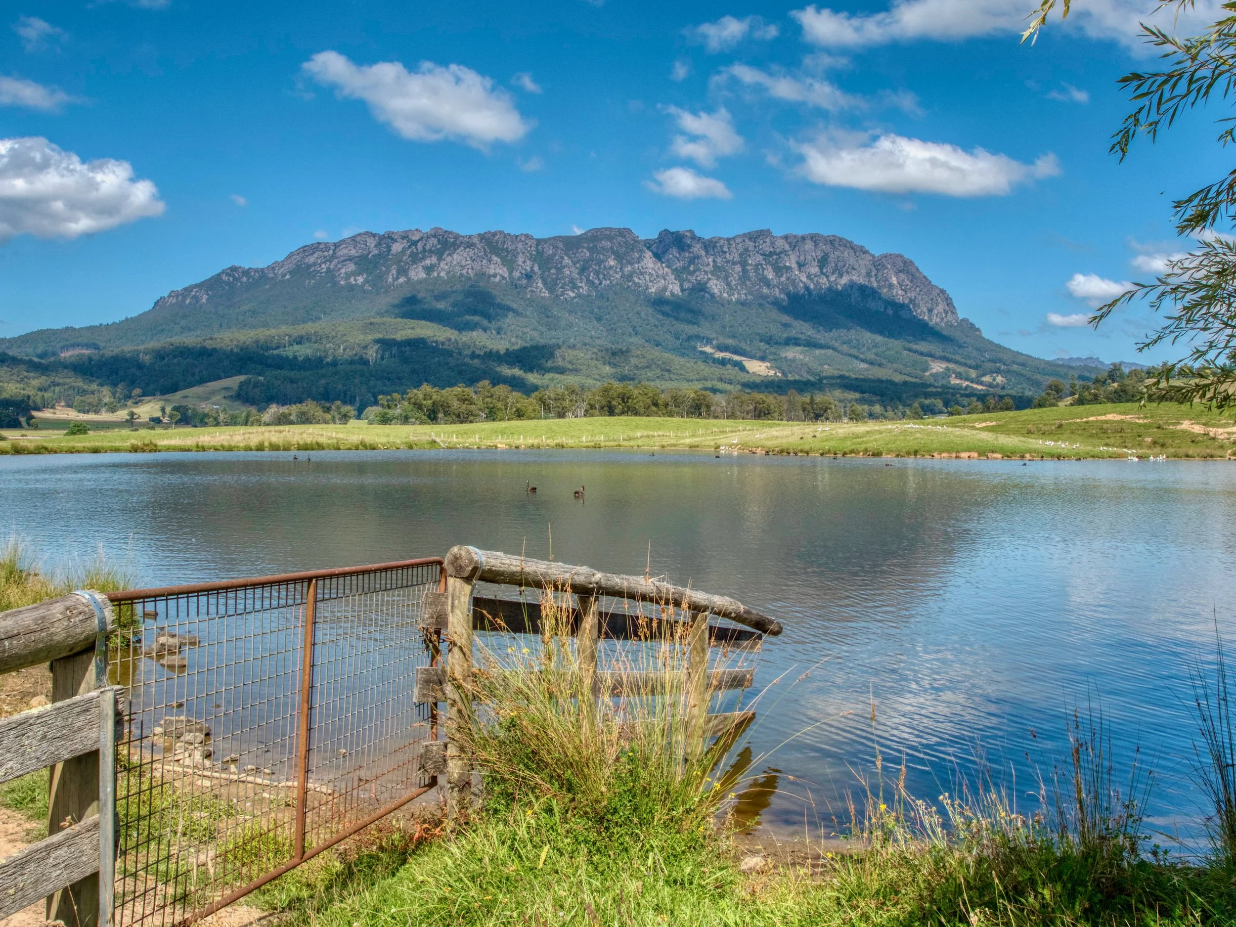
Mt Roland
On Saturday the 12th of March 2022, I set out to climb Mt Roland. There is a choice of two different tracks: the shorter and steeper Face Track, which involves some scrambling, or the longer route from O'Neills Road. I chose the latter, with it taking 6½ hours to do the 17km return trip (inc. breaks).
Location
The longer route starts at Gowrie Park on O'Neills Road. Drive up O’Neills Road to the clearly marked start of the track and adjacent car park. AllTrails has a good map of the route.

The Track
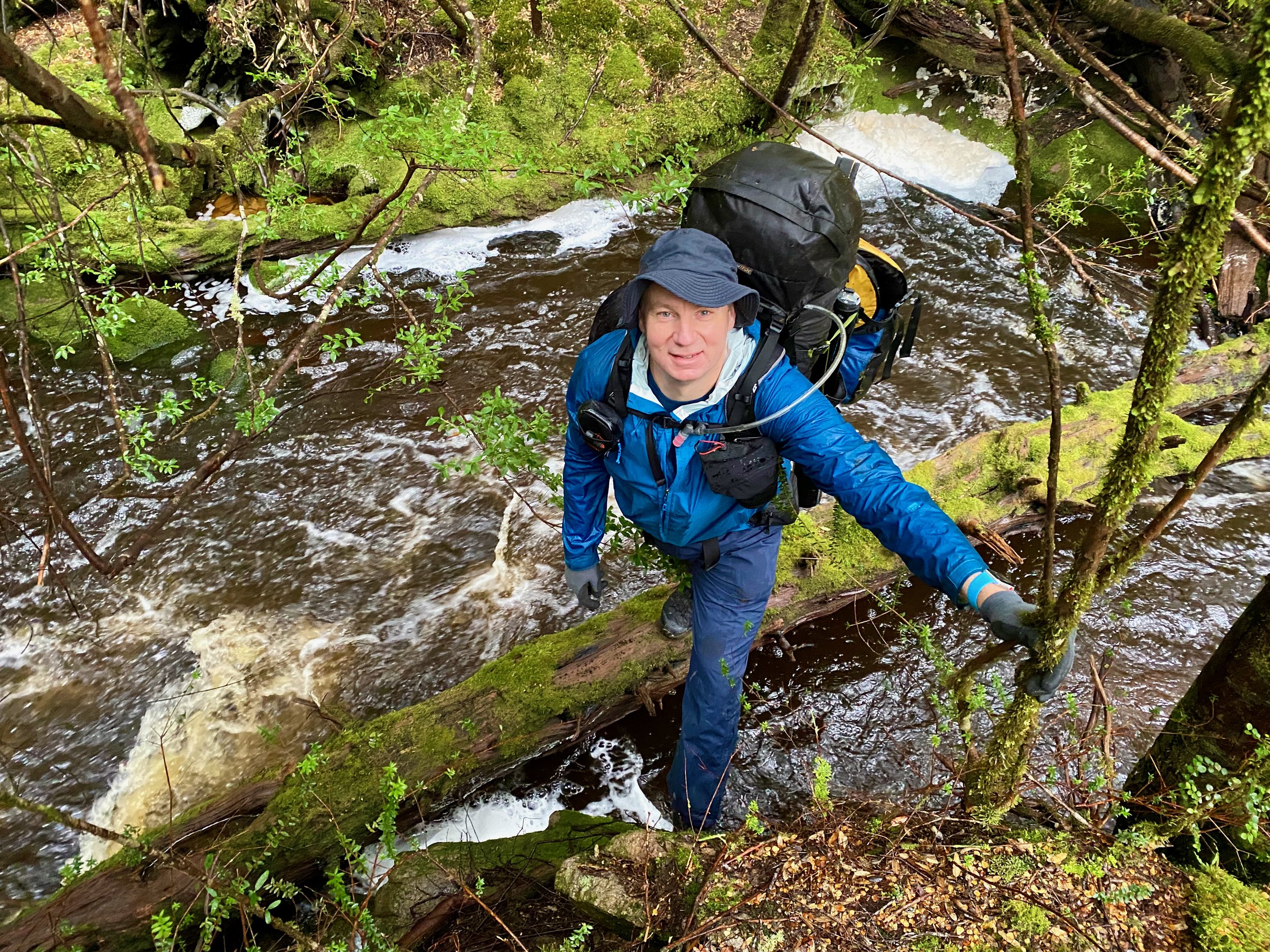
The track initially starts off on a fire trail for the first 4km until O’Neills Creek is crossed.
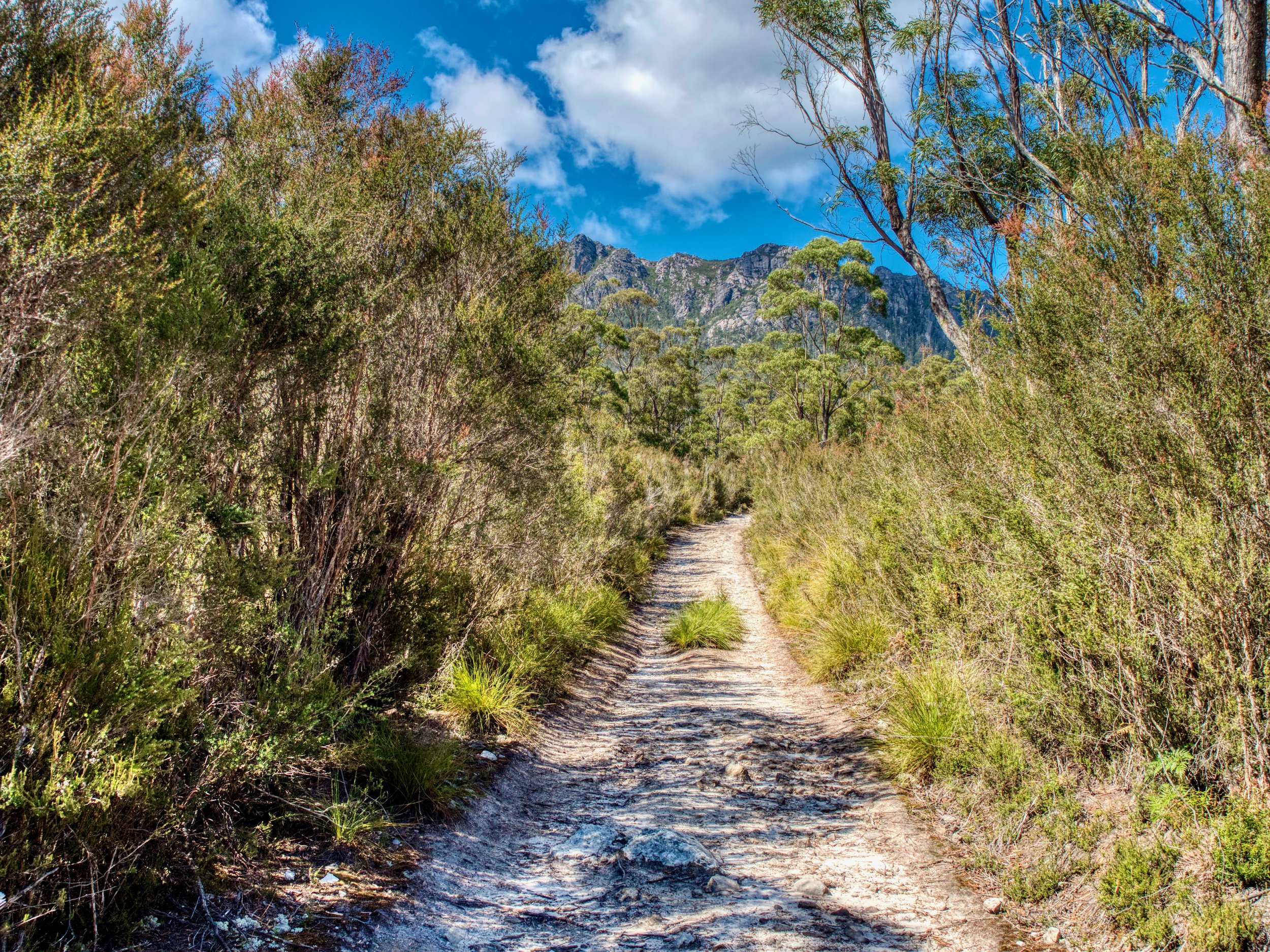
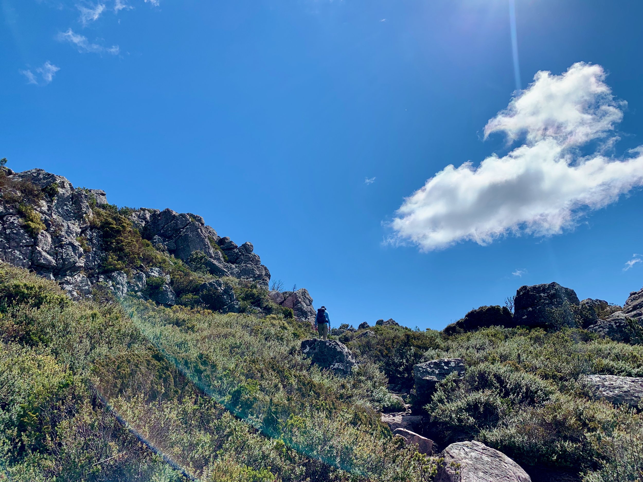
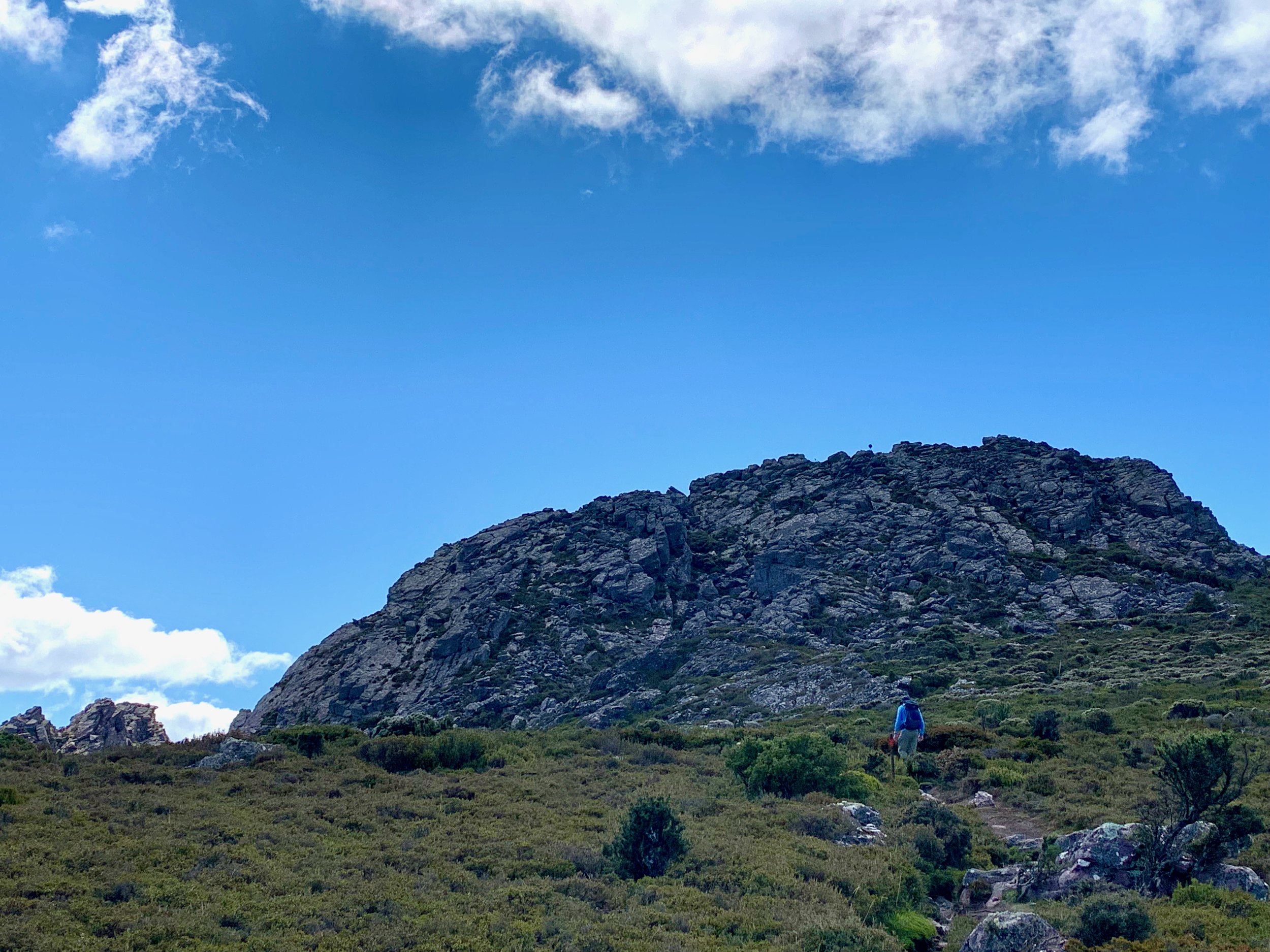
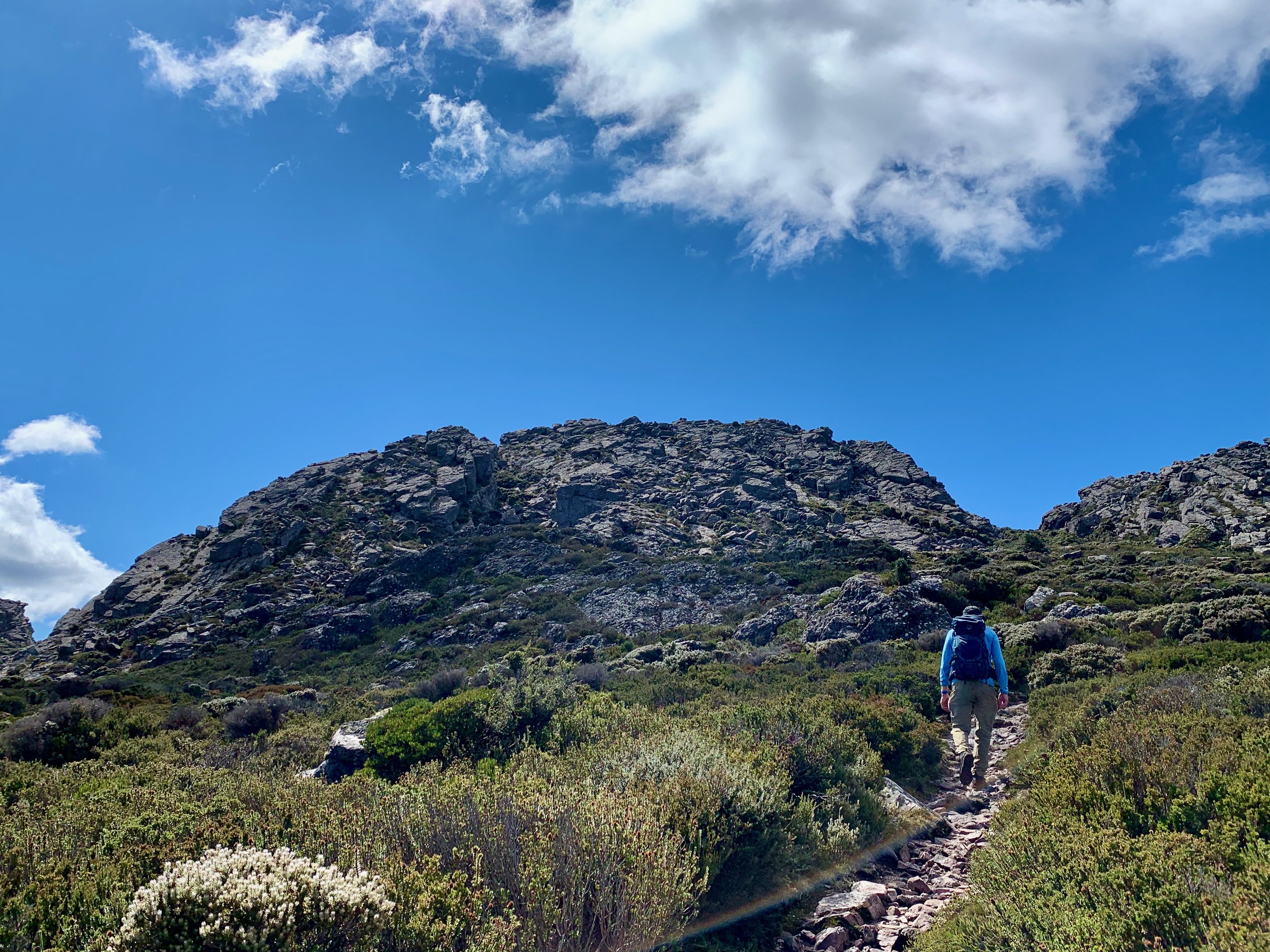
From O’Neills Creek, the track narrows and becomes steeper until it makes it way up to the plateau, about 1km further on.
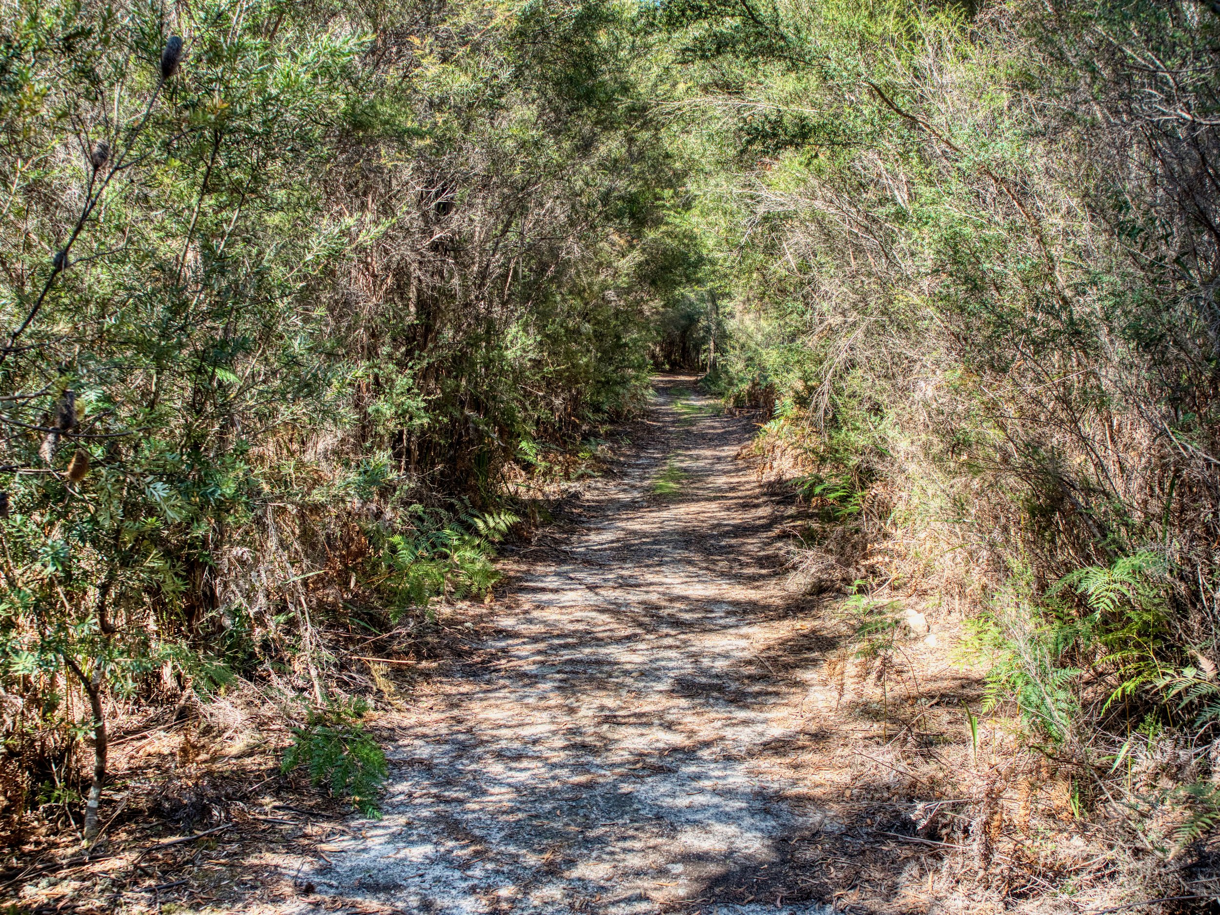
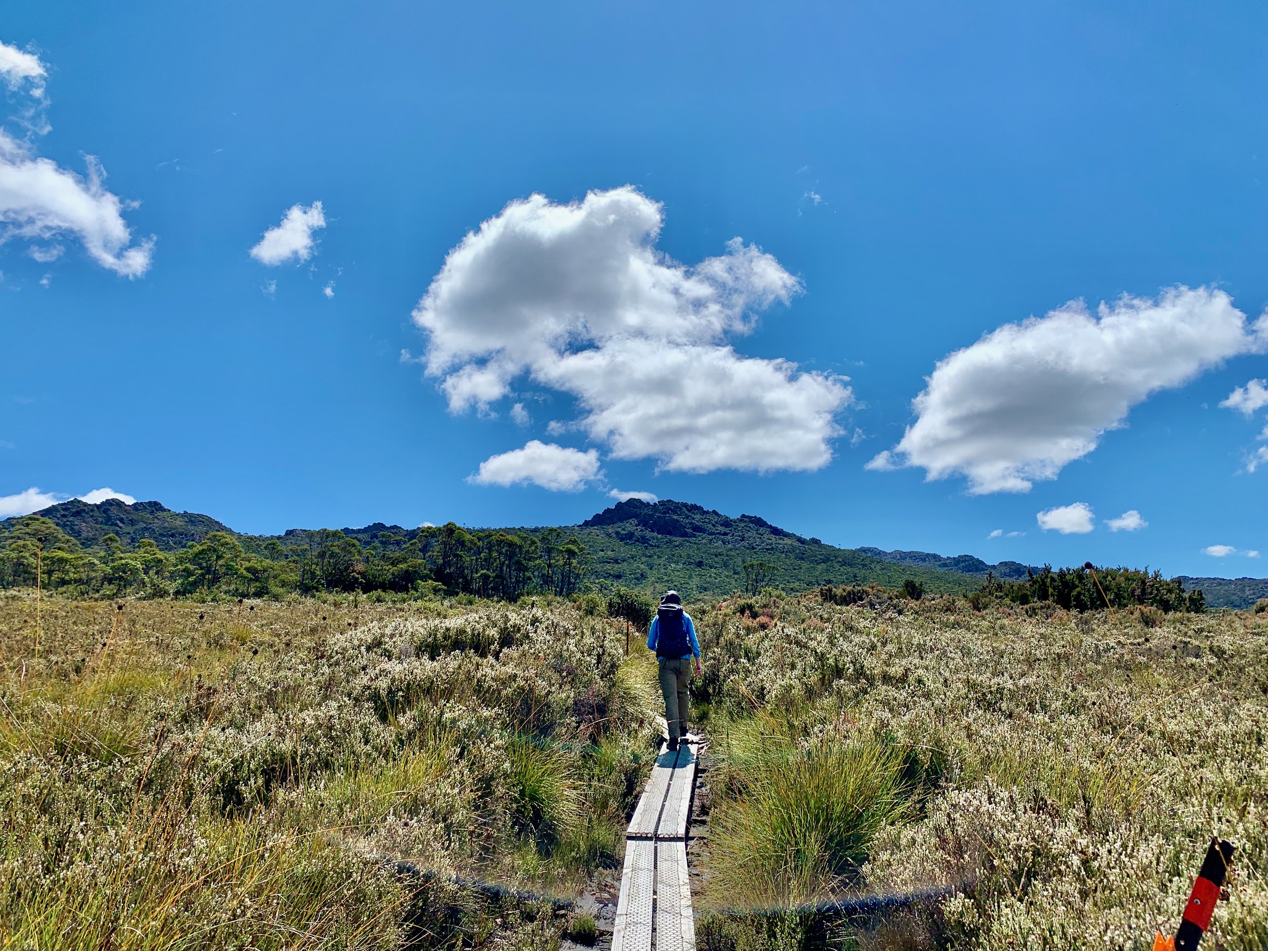
Here the track flattens out briefly and includes some sections of duckboard.
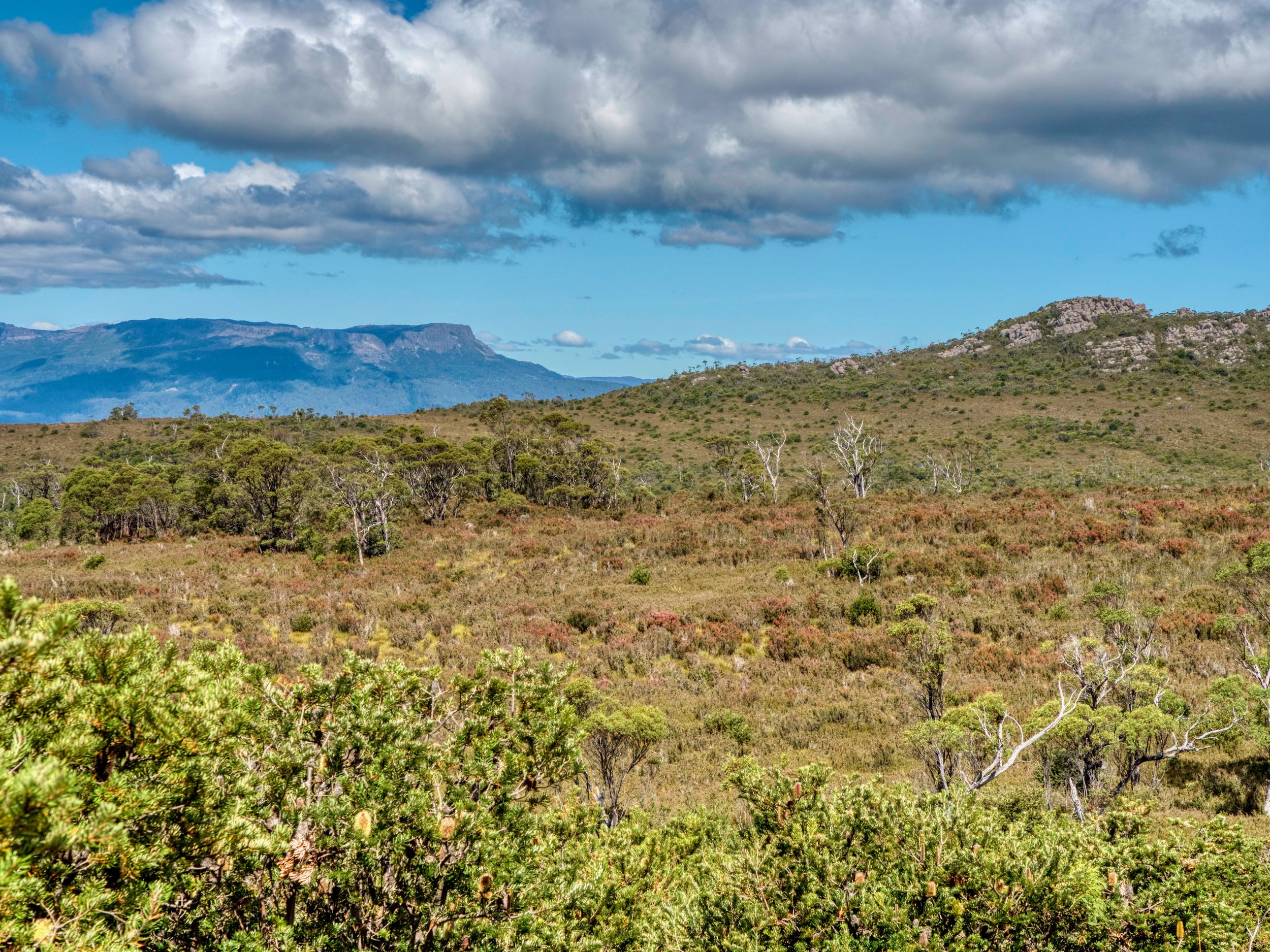
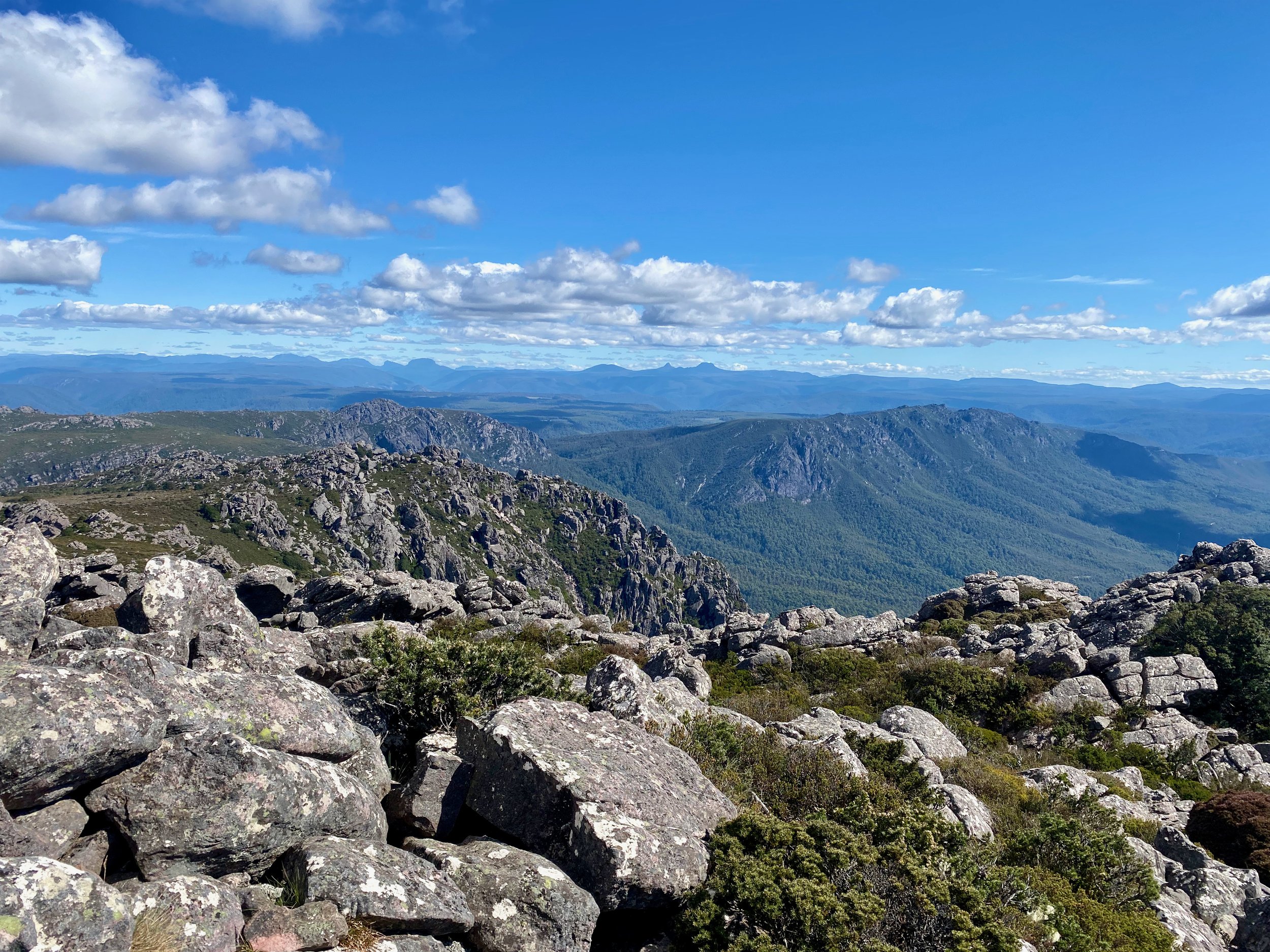
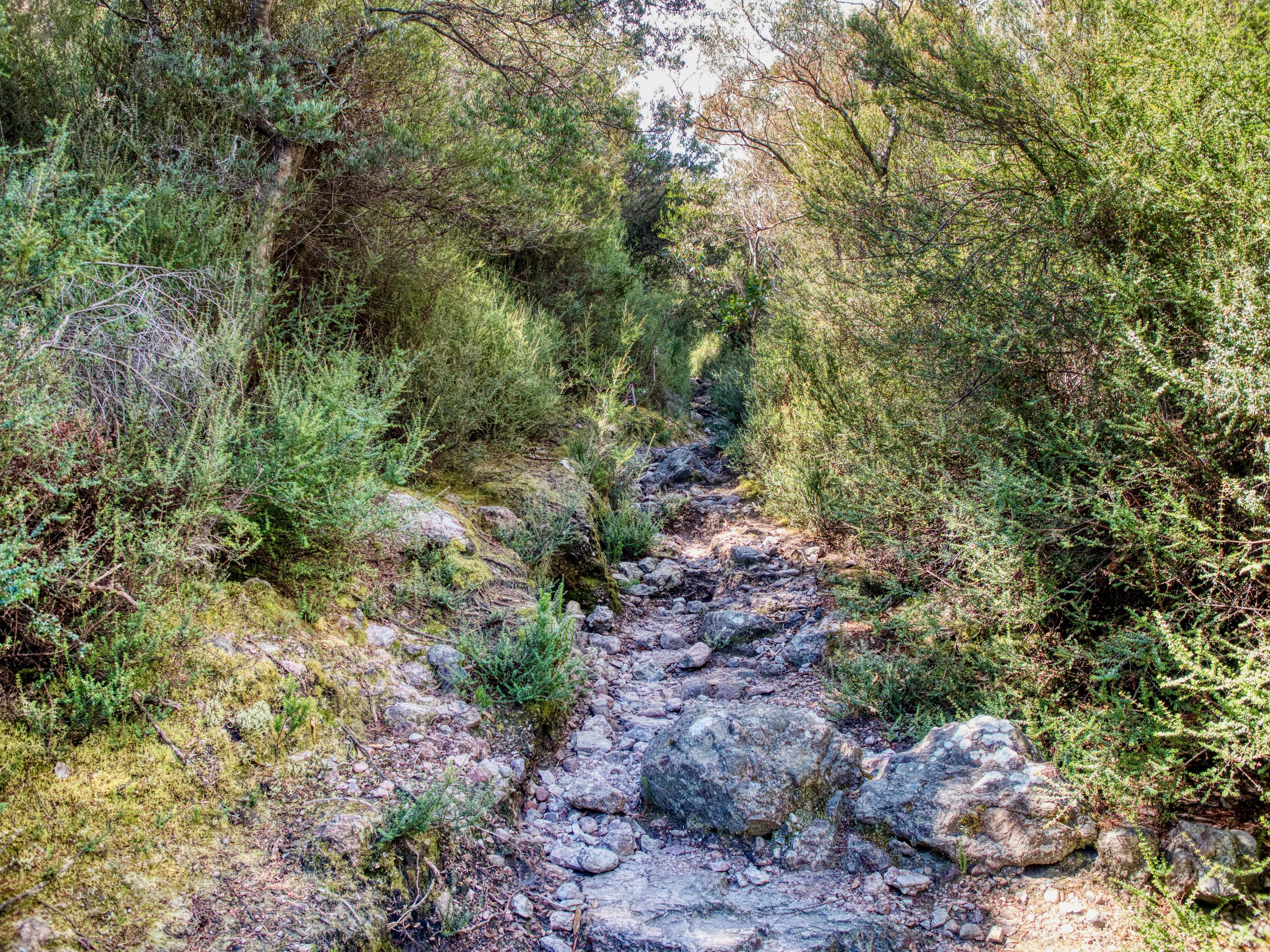
However, after about 500-600 metres the track turns upwards again, until the final section to the summit is reached in a bit over 2km.
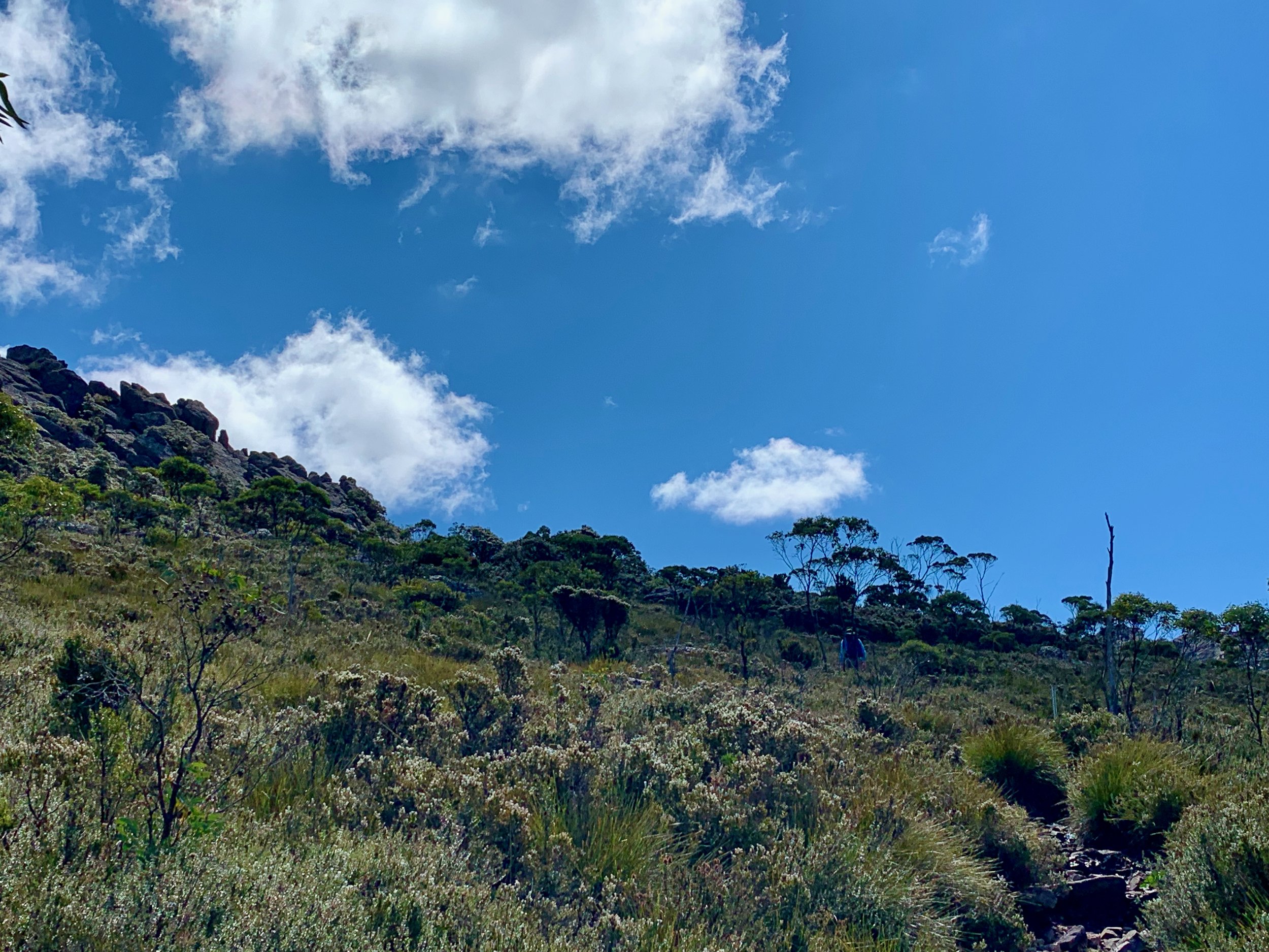
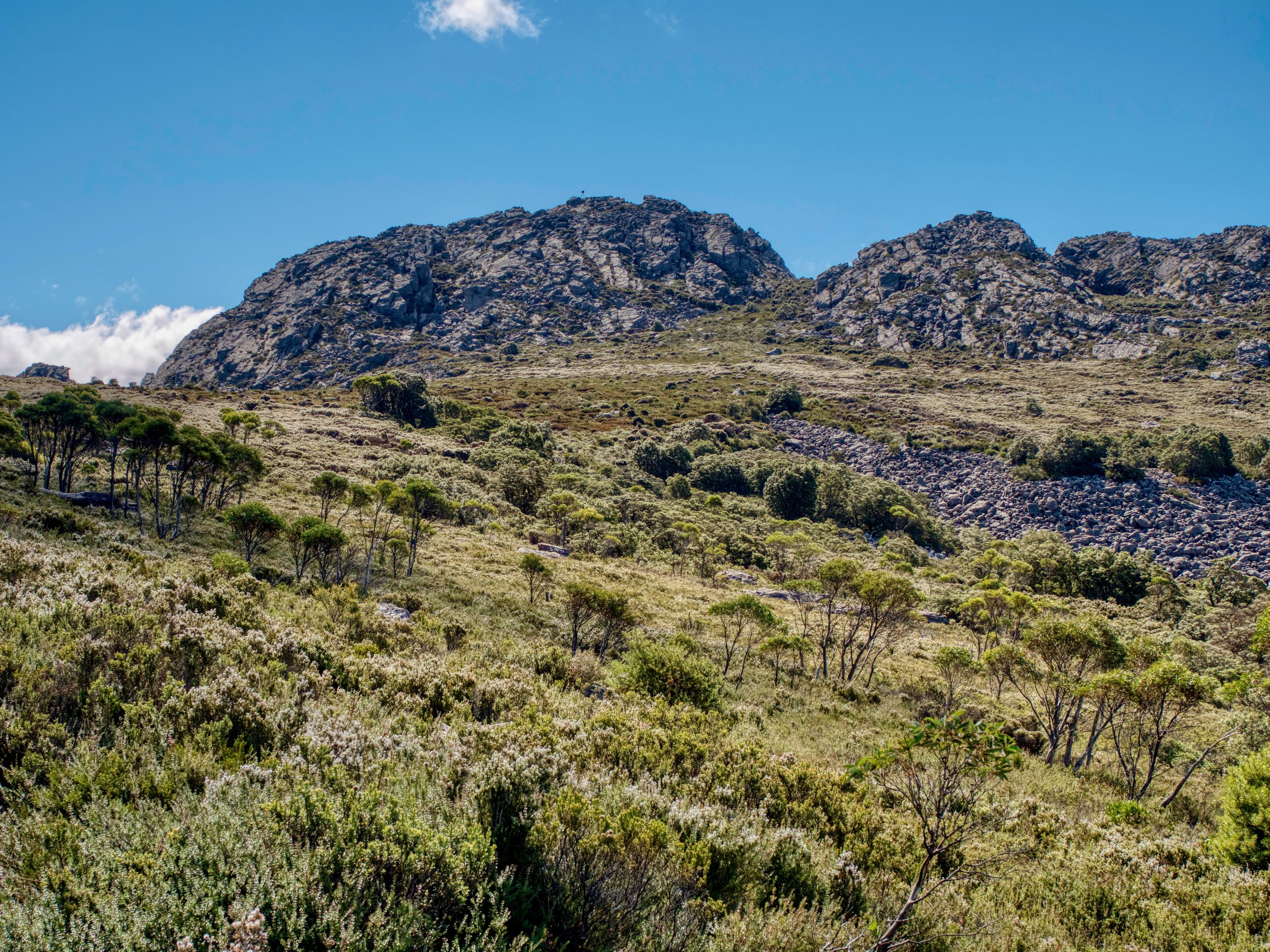
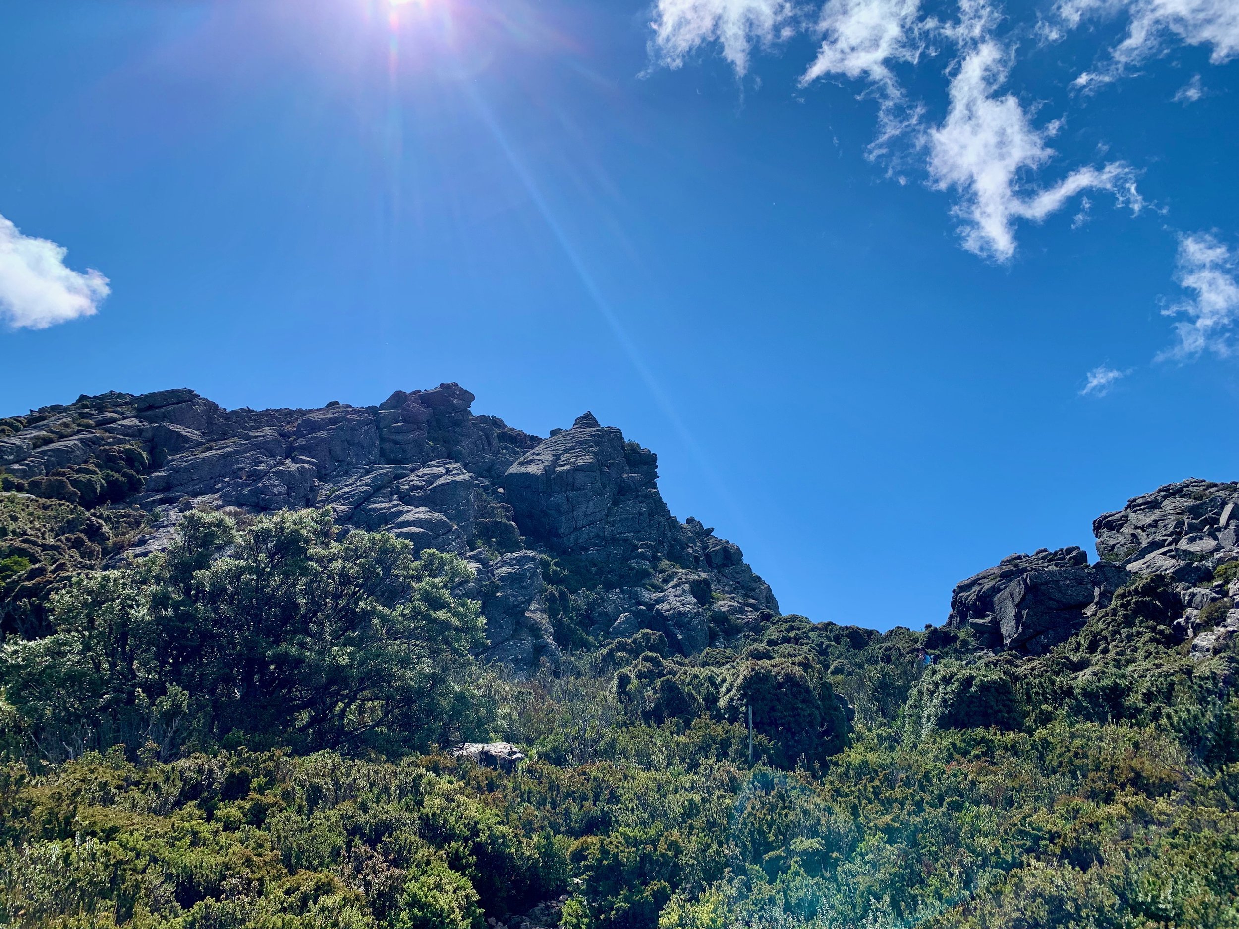
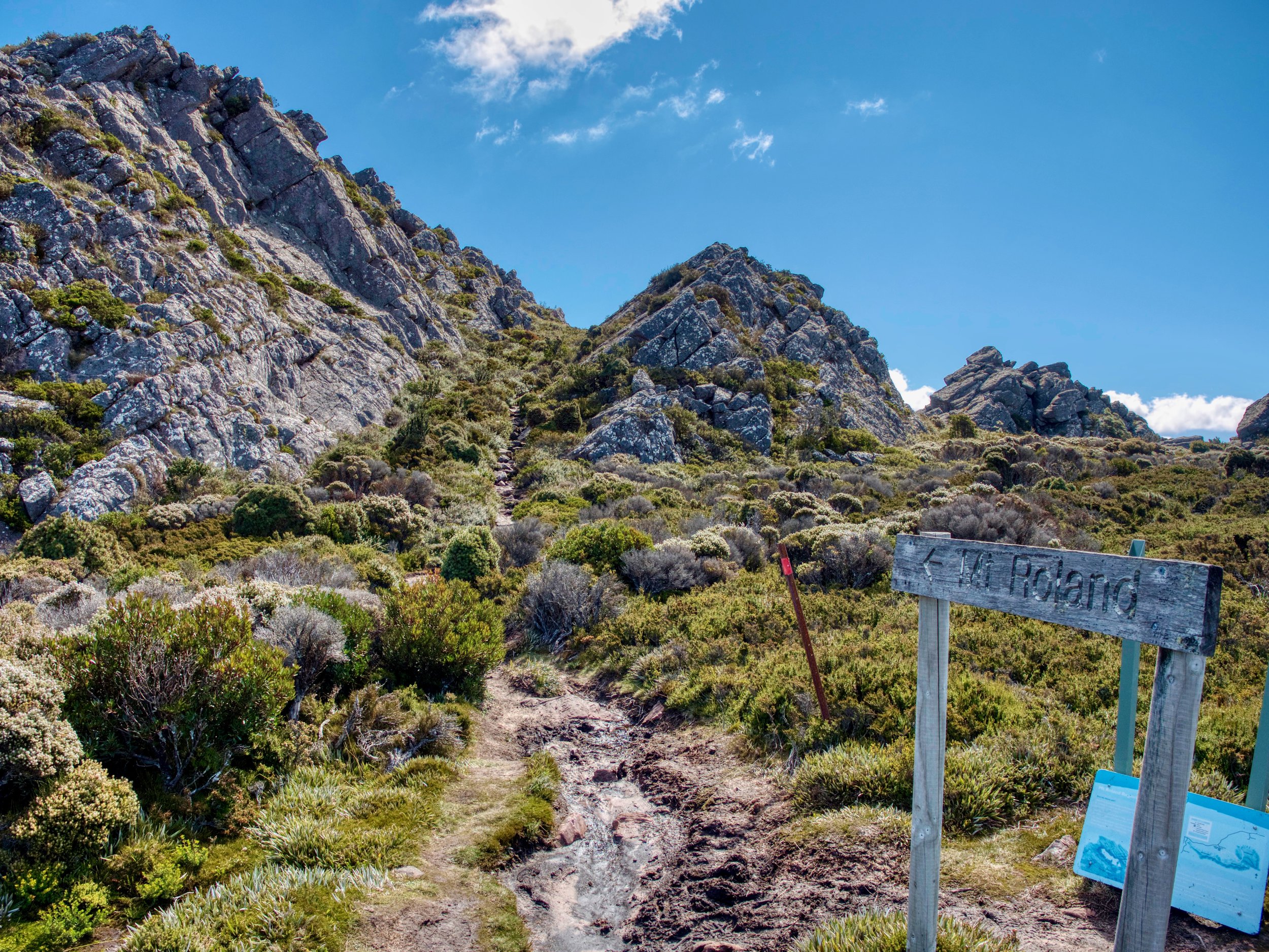
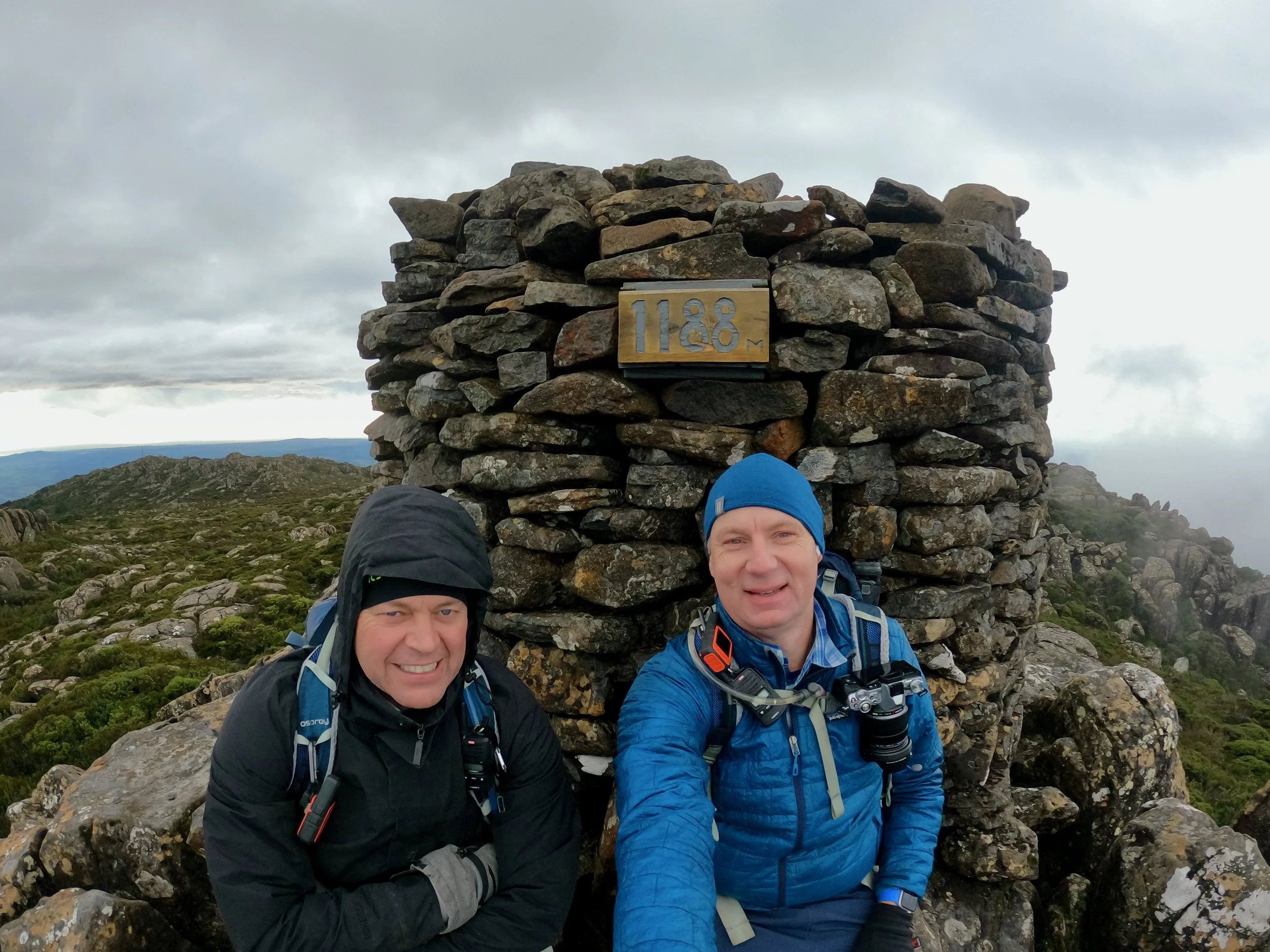
The last couple of hundred metres then involves some scrambling up to the trig point on the summit.