
Tyndall Range
On the 13th and 14th of September 2023, Col and I set out to explore the Tyndall Range and summit Mt Tyndall and Mt Geikie, both Abels. This was a relatively quick overnight trip, with it taking us about 5½ hours to summit Mt Tyndall from Anthony Road and continue on to Lake Tyndall to set up camp (including breaks). The following day we hiked from our camp at Lake Tyndall to the summit of Mt Geikie, returned to Lake Tyndall to pack up camp, and then made our way back to the car. The return trip to Mt Geikie from the lake took us 4 hours (including breaks), with the walk out from the lake to the car taking us another 3 hours.
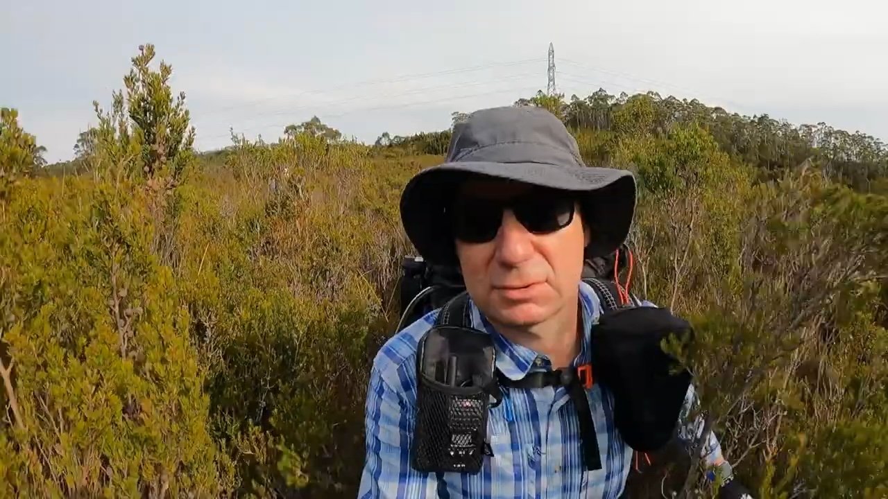
Trip Video
Location
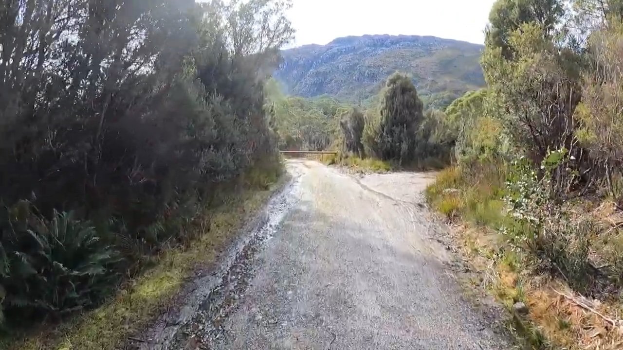
The track is accessed from a dirt access road off Anthony Road, between Queenstown and Tullah, that is about 11km north of the Anthony Road turn off.
There is ample parking space immediately after turning onto this access road, with vehicles not being visible from Anthony Road. It is also necessary to park here, as the access road is gated a short distance in, requiring a road walk on the dirt access road to reach the start of the track proper.
The Track
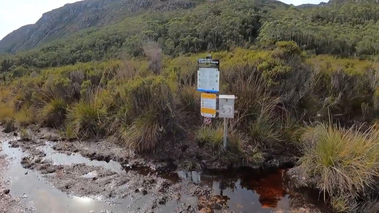
The initial road walk is about 1km in length. The road initially heads southeast for about 600m where it then intersects with another road. Turn left here and walk just over another 300m to the start of the track proper, which is sign posted.
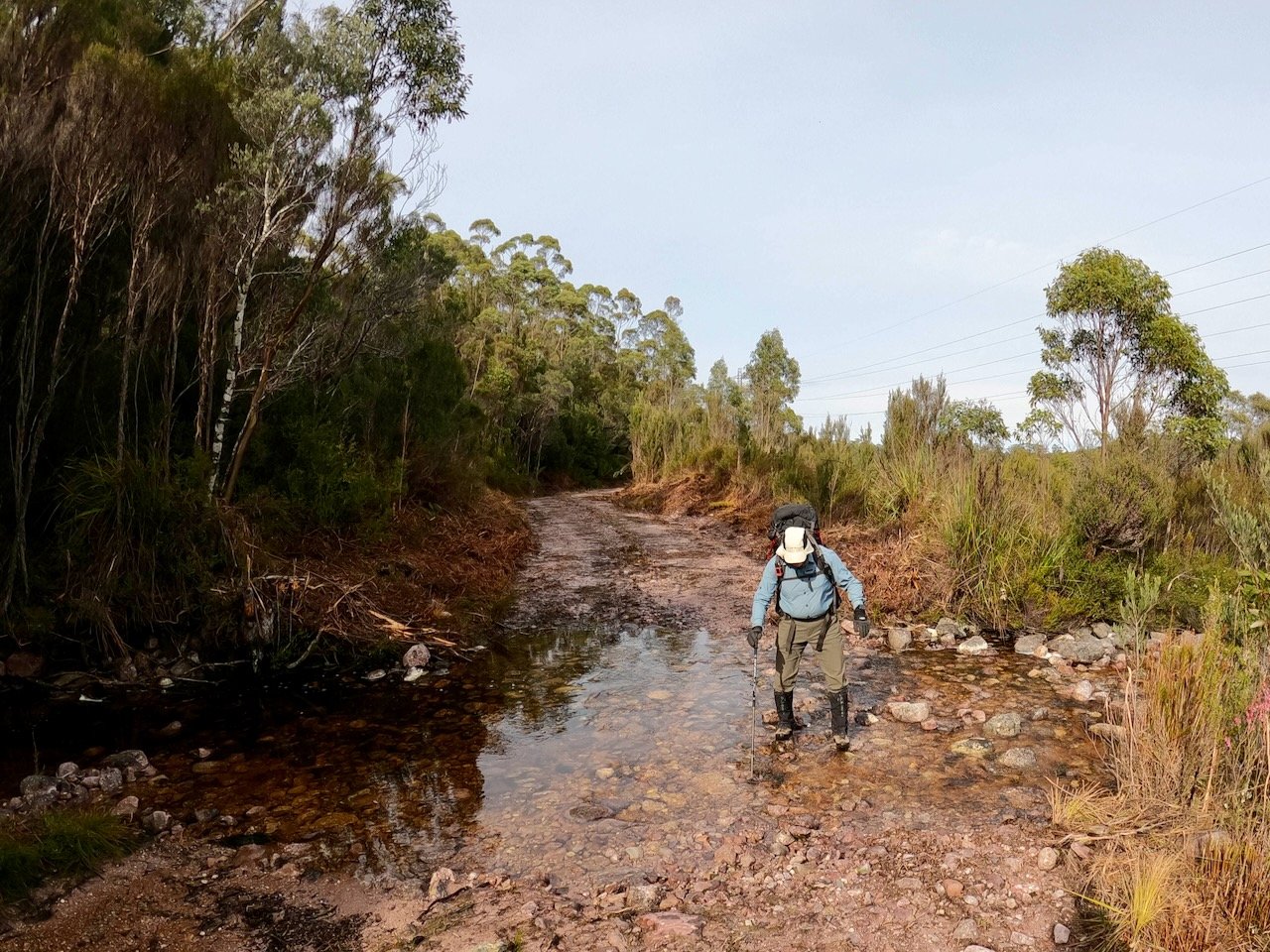
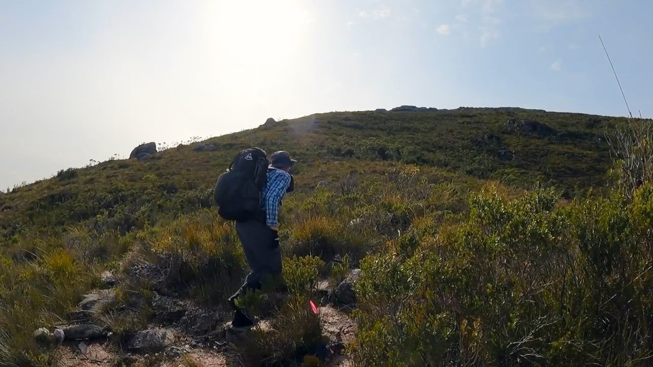
The initial part of the walking track is through thick tea tree and is also quite boggy.
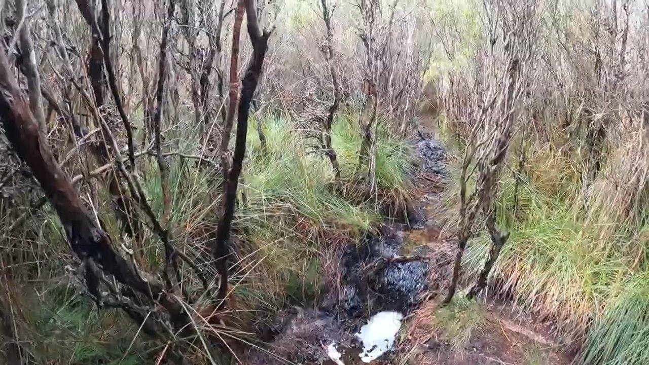
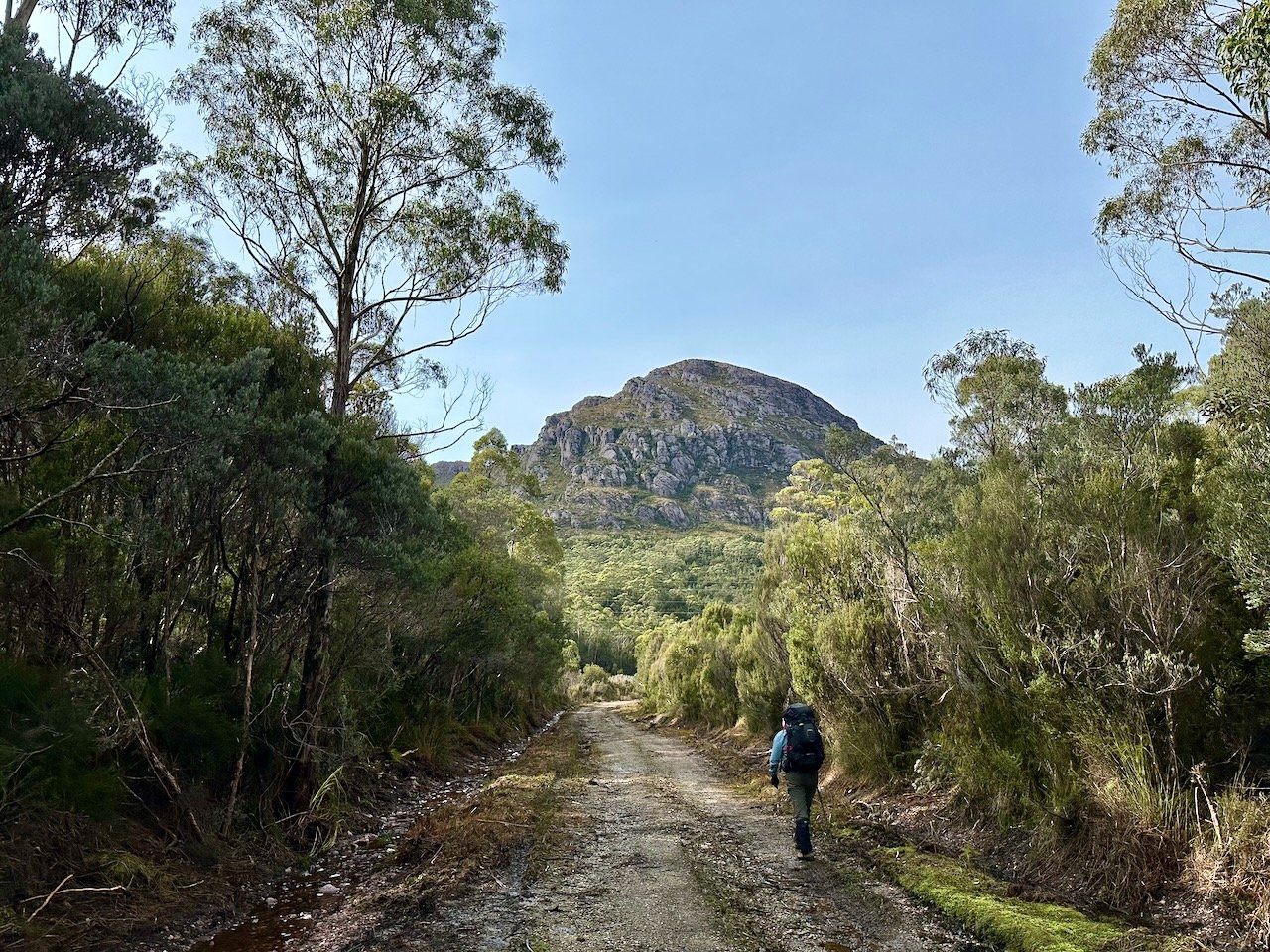
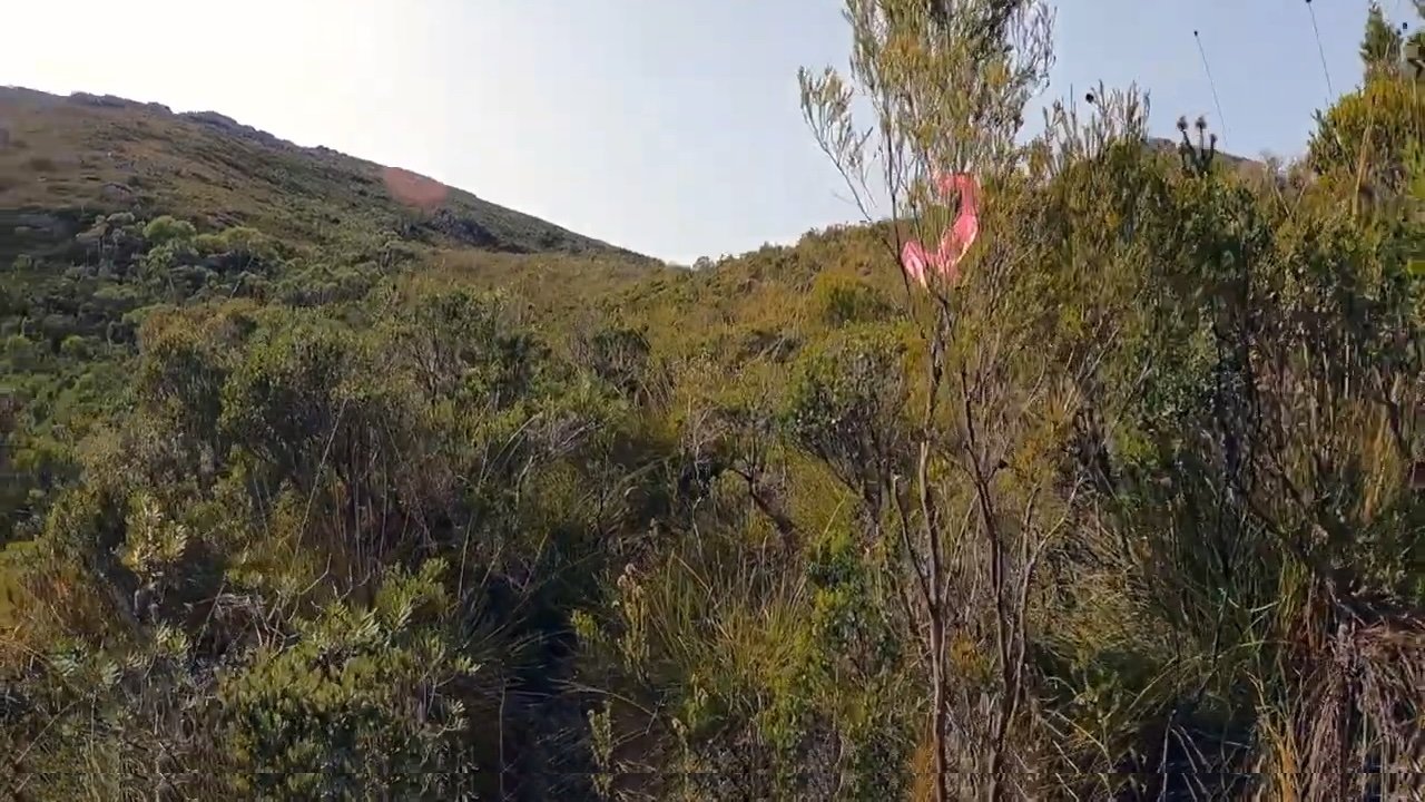
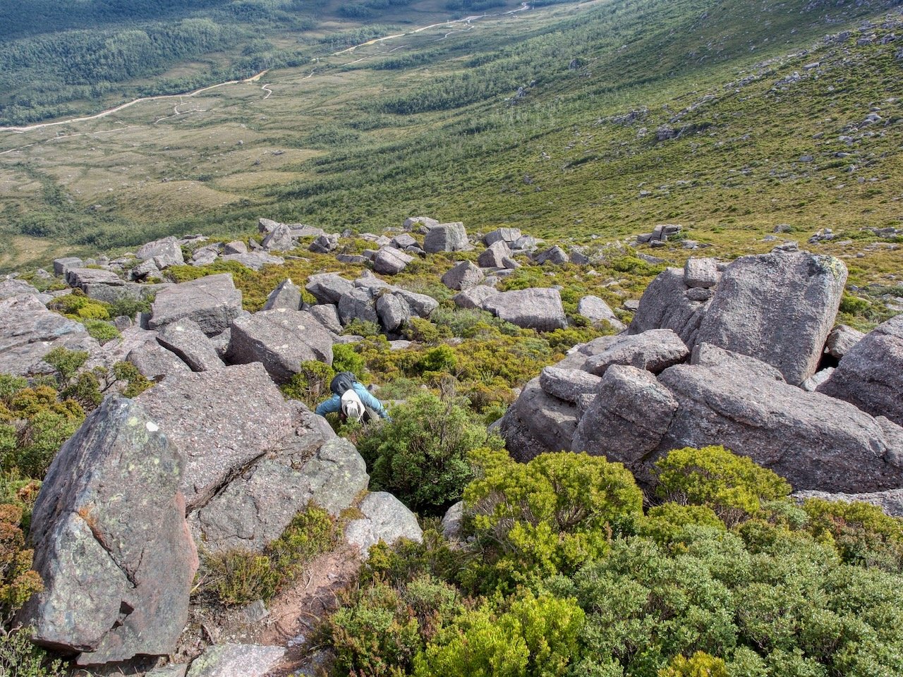
Very quickly, the track proceeds to climb, and as it does the boggy track recedes, but the thick scrub persists for several hundred metres until the vegetation opens and becomes much lower. You are then left with the slog, especially with overnight packs, up to the top of the range, which is a climb of about 600m in elevation, and took about 2½ hours from the car.
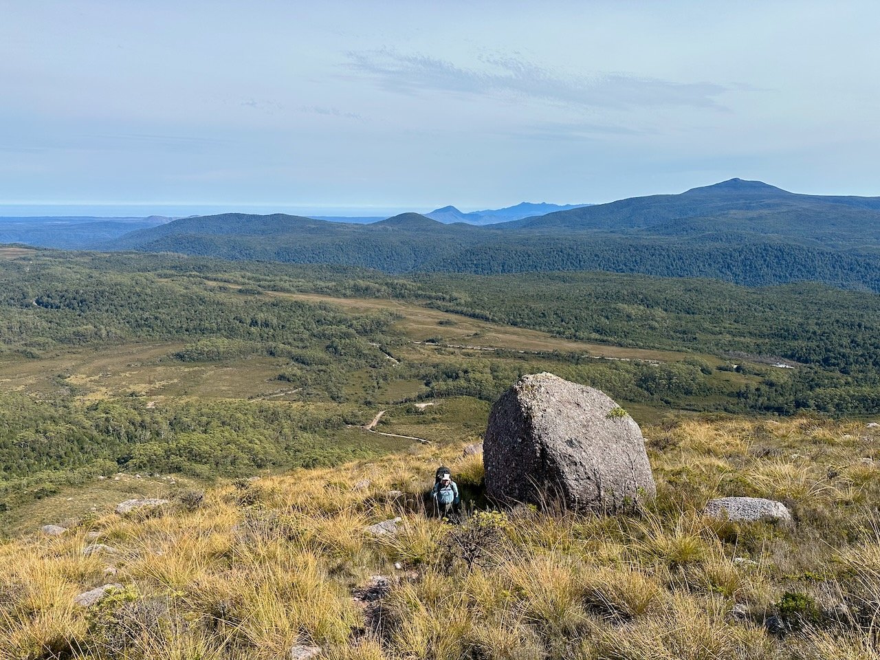
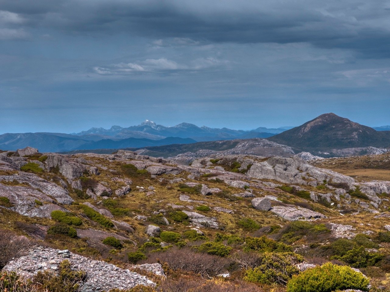
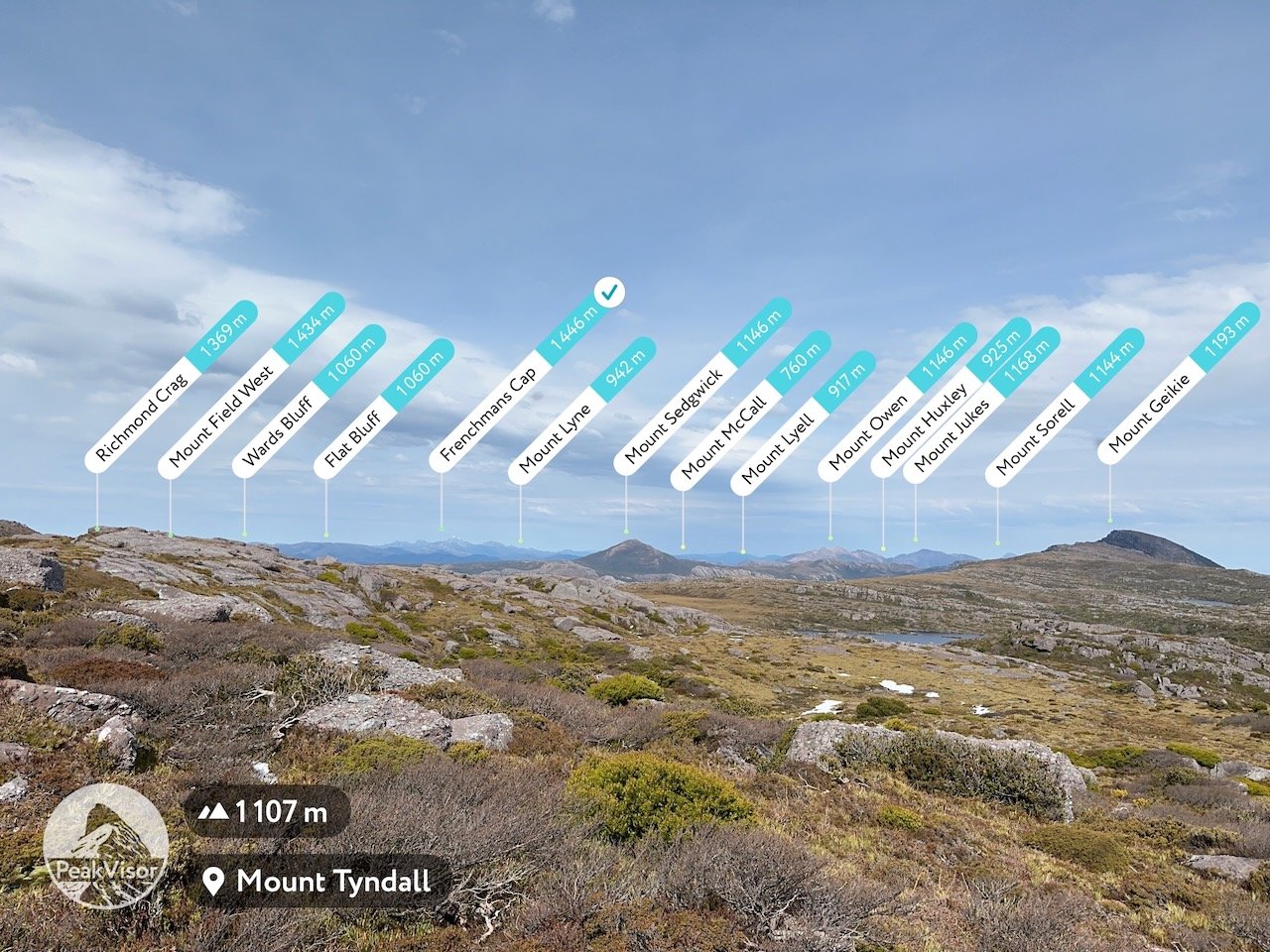
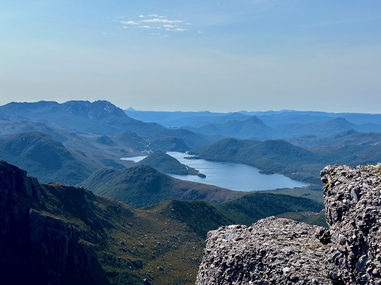
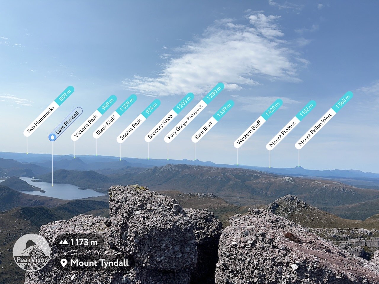
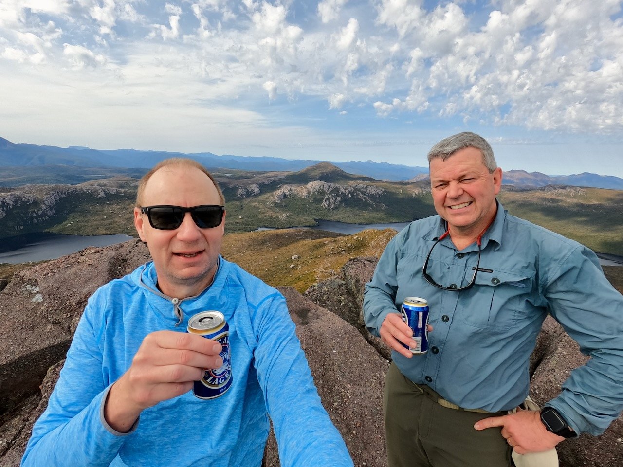
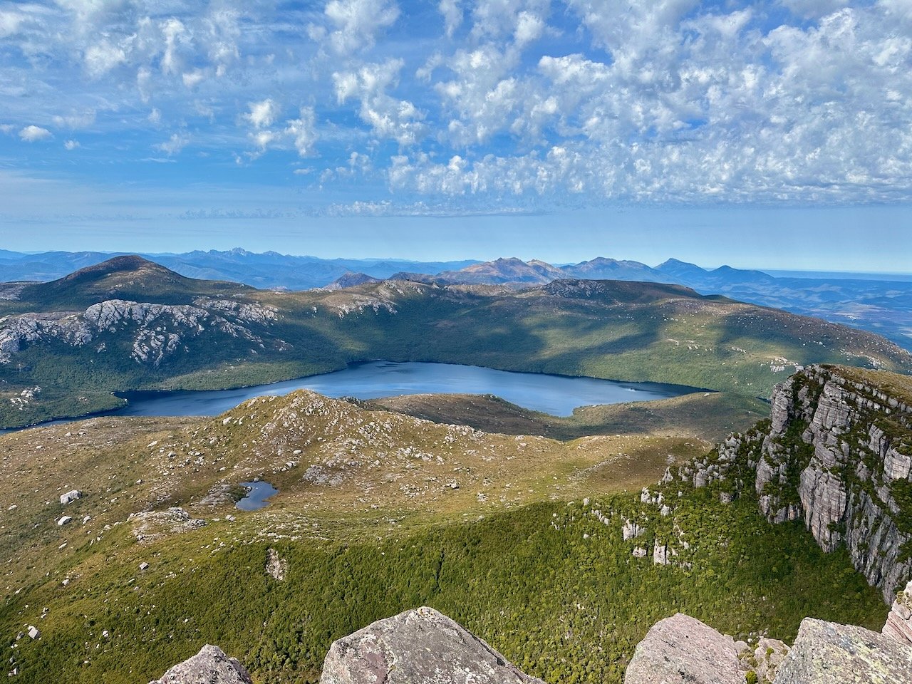
From the top of the range we got fantastic views of the surrounding mountains, including Mt Geikie, Mt Sedgwick, and Frenchmans Cap, as well as looking down to Lake Tyndall where we would camp that evening.
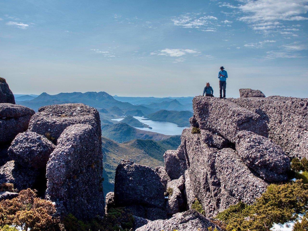
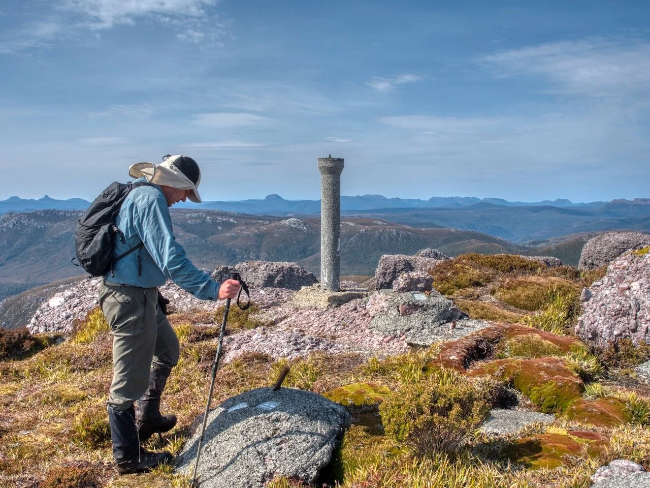
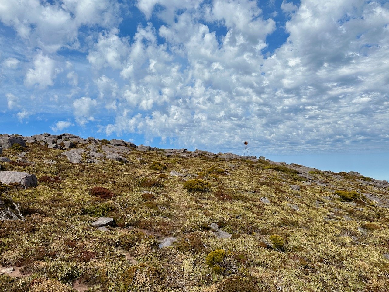
While the main track continues on to Lake Tyndall, there is a faint pad to the left that leads the way to the Mt Tyndall summit, which isn't marked, and continues on for around another 300m to a survey post. The views along this section were spectacular, traversing a clifftop with a massive drop off to the east.
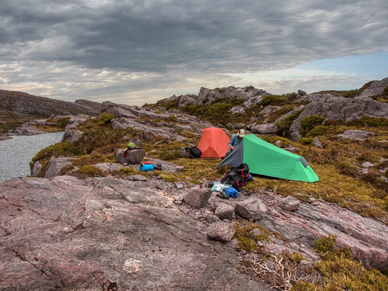
After checking out the views, we returned to the track junction where we had left our packs and made our way on to Lake Tyndall where we set up camp for the evening.
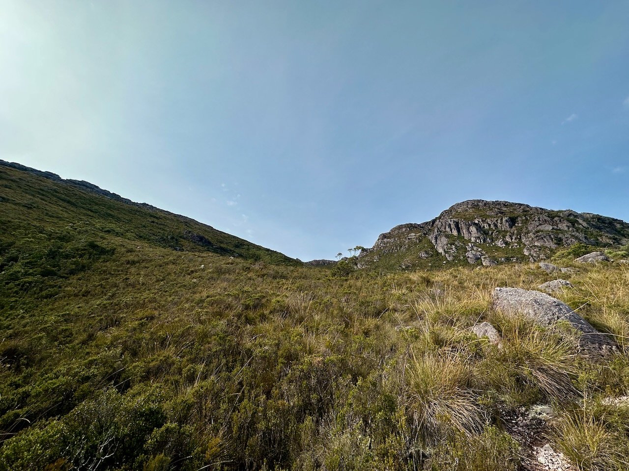
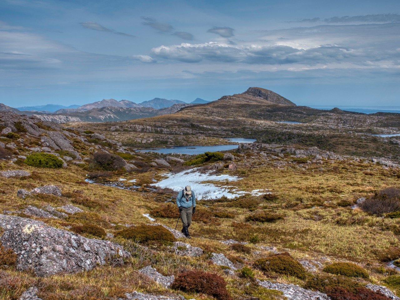
The following morning we set out to Mt Geikie, which is completely untracked.

The route crosses low grass, and isn't particularly challenging, apart from the offtrack navigation, there being no markers at all to guide the way.
From the summit of The Bastion, there is a significant drop down to a saddle, and a subsequent climb up Mt Geikie before the route flattens out on the approach to the summit.
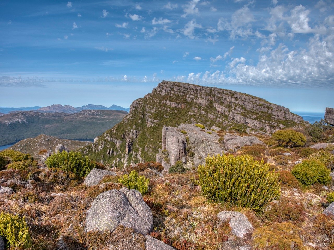
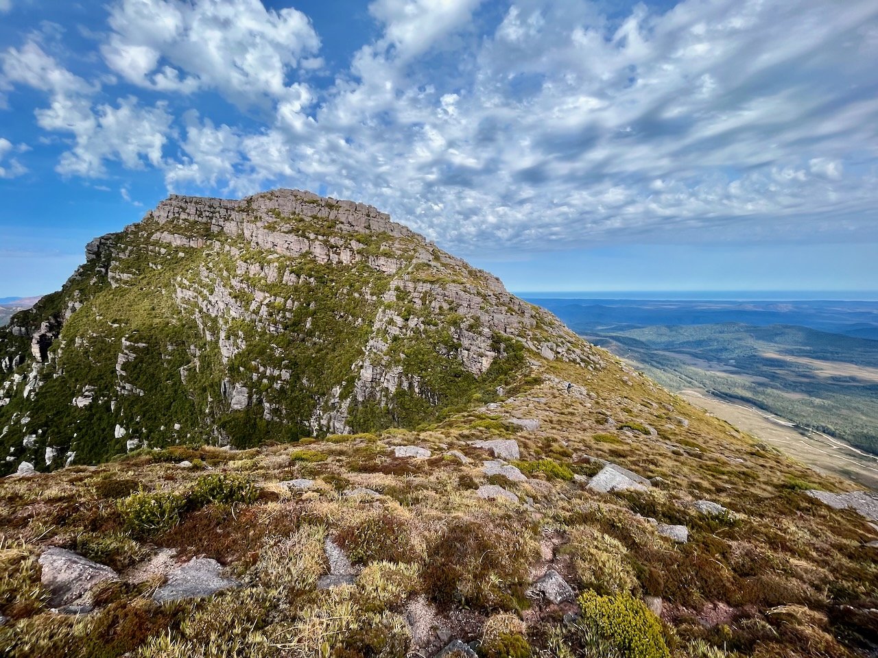
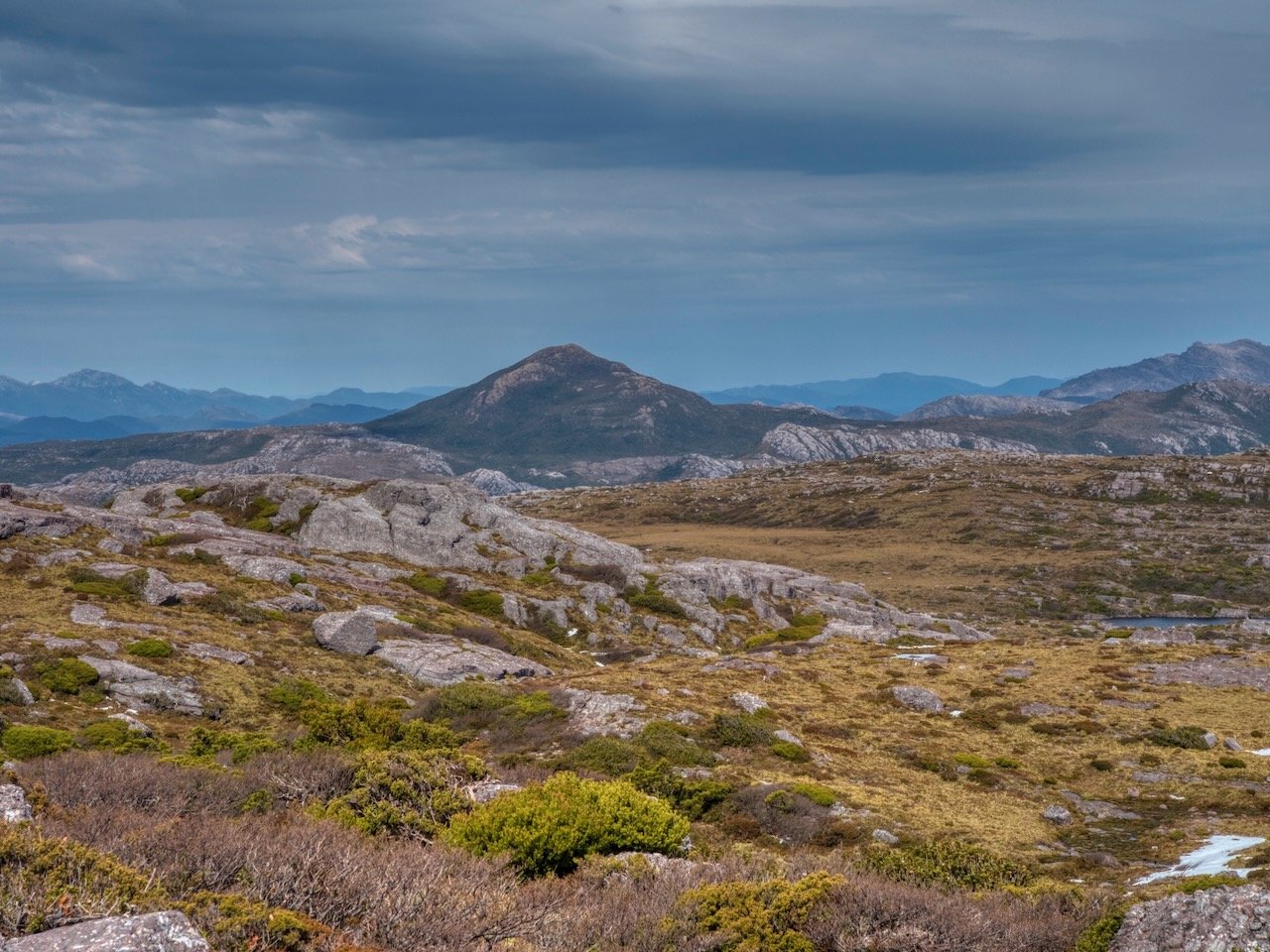
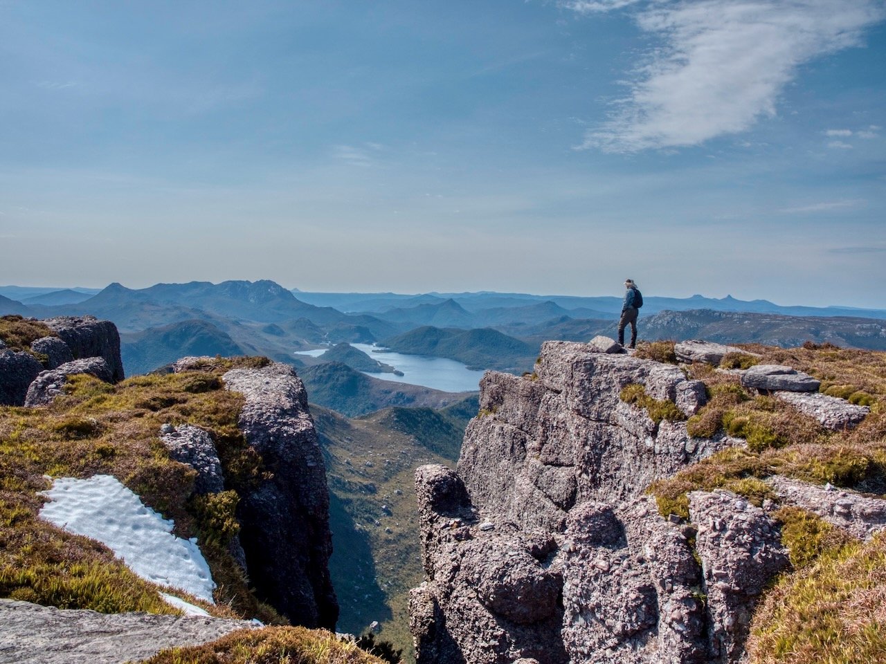
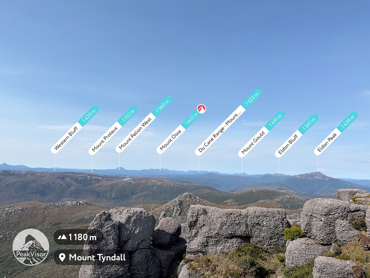
This summit also offers spectacular views over the many lakes to the east and the mountains beyond them.
After stopping on the summit, it was time to head back. We'd heard others had done the walk from the lake to the summit in an hour each way, but it took us a total of four hours return. Once back at Lake Tyndall we packed up the tents and then made our way back down to the car, which took another three hours.