
Packrafting the South Esk River – Avoca to Hanleath
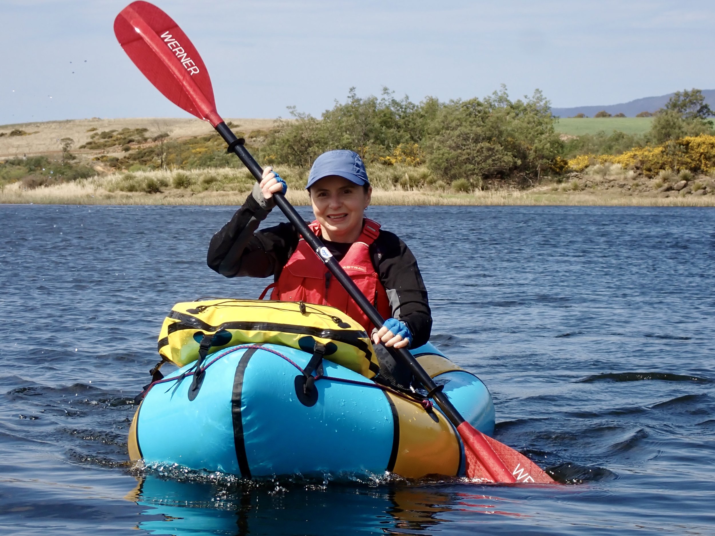
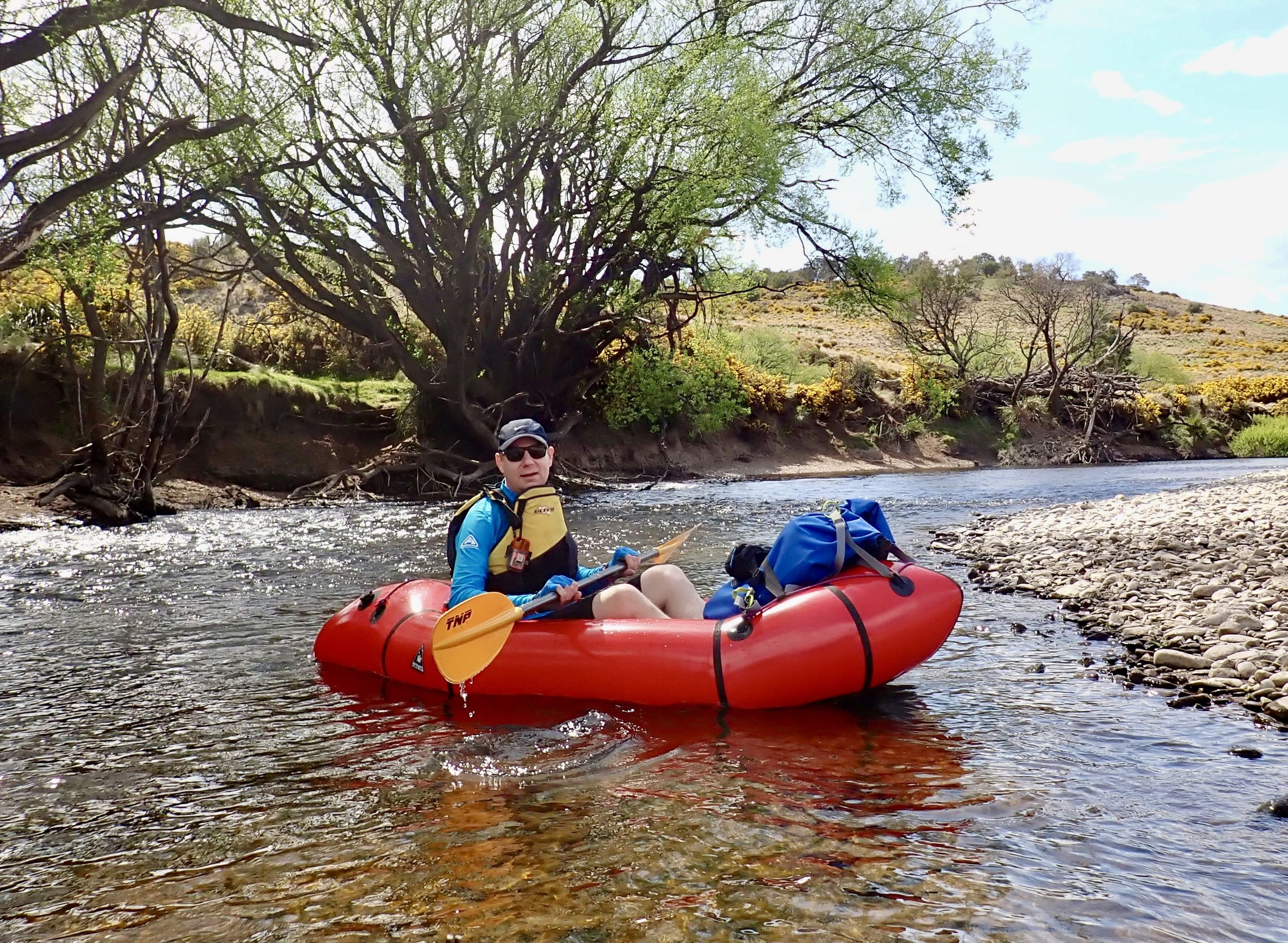
In September 2023 my sister Clare was visiting me and we decided we’d packraft a section of the South Esk River from Avoca to Hanleath. The WikiRiver guide for this section has the exit point as Llewellyn, but we decided to exit at the Bonneys Plains Road Bridge near Hanleth, which shortened the trip by about 6km for us.
Water level: 1.82m at Fingal and 1.48 at Llewellyn
Grade: 1
Distance: 13km
Time: 3.5 hours
Location
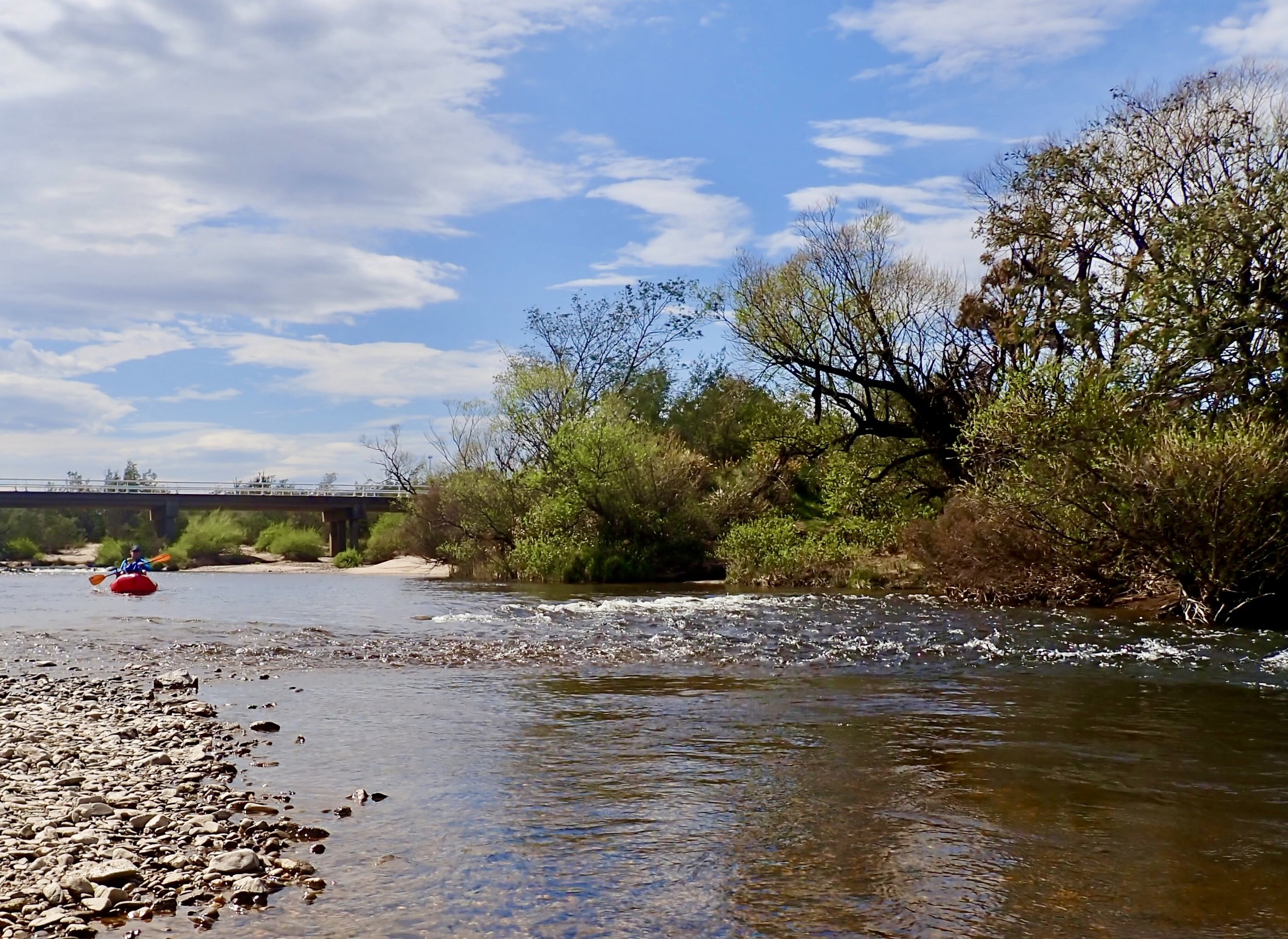
This section of river runs between two road bridges, with easy access to the river at each bridge. The start is at the town of Avoca on Esk Main Road in the Fingal Valley, and our finish was at the bridge over the river on Bonneys Plains Road further west. After dropping Clare at the start I drove to the finish point to leave the car and then rode 11km back on my mountain bike, which took me 24 minutes.
Entry Point
There are multiple access points to the river at Avoca around the bridge over it on Storeys Creek Road. We crossed the bridge from Avoca and pulled off to the left just after it at a concrete parking area (northwest side of the bridge). From here a short four-wheel-drive track runs down to a shingle bank along the river’s edge.
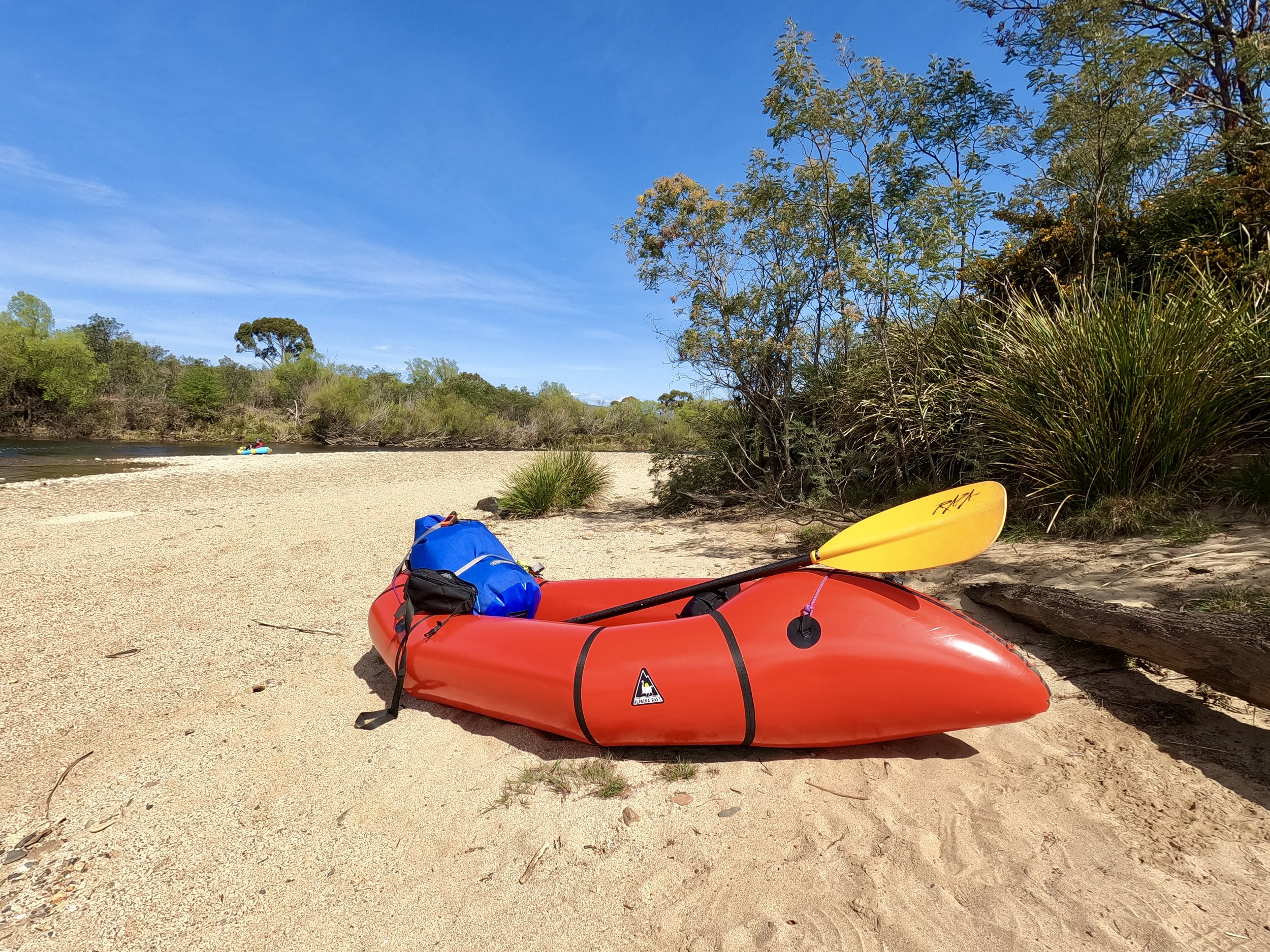
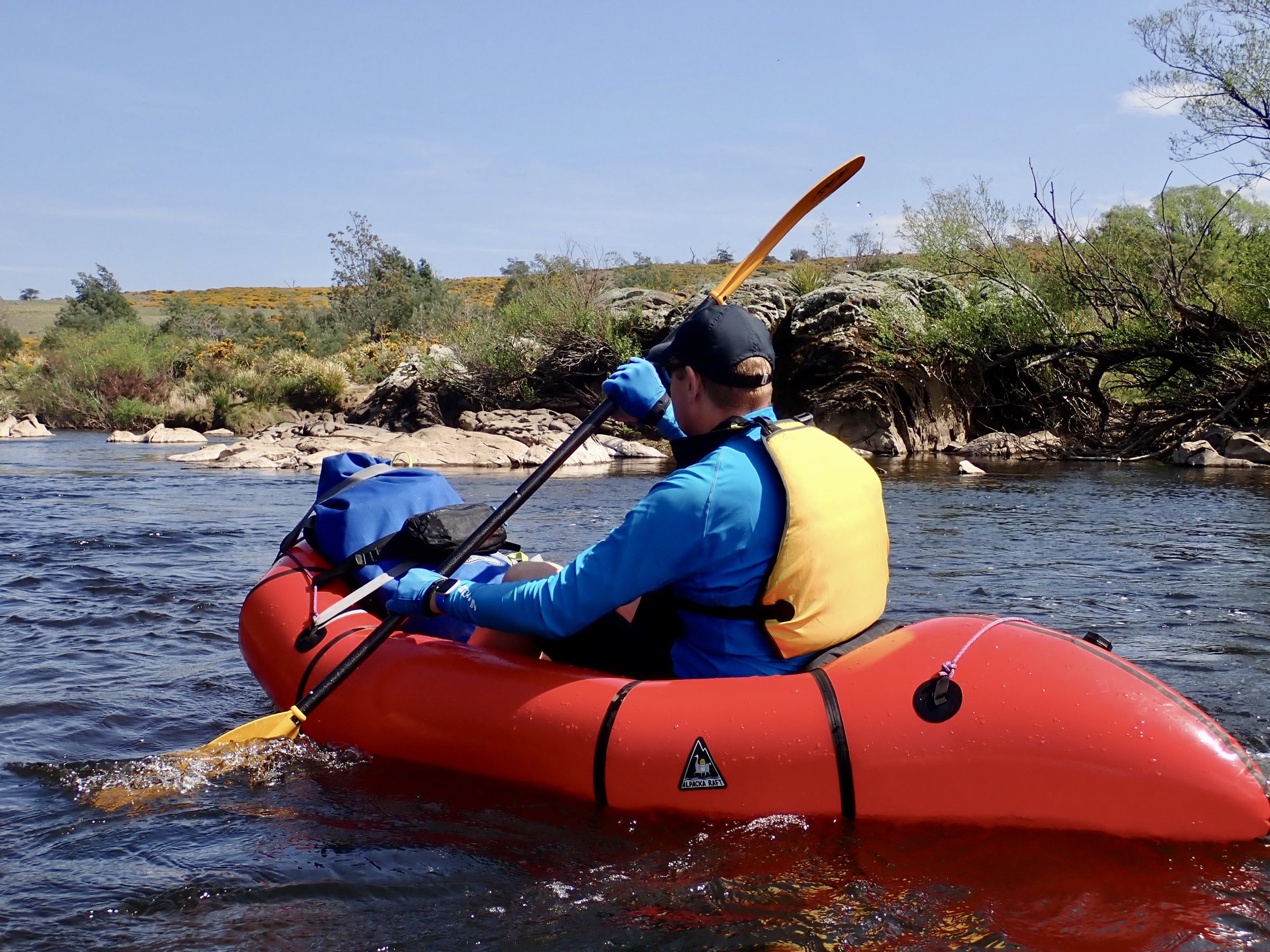
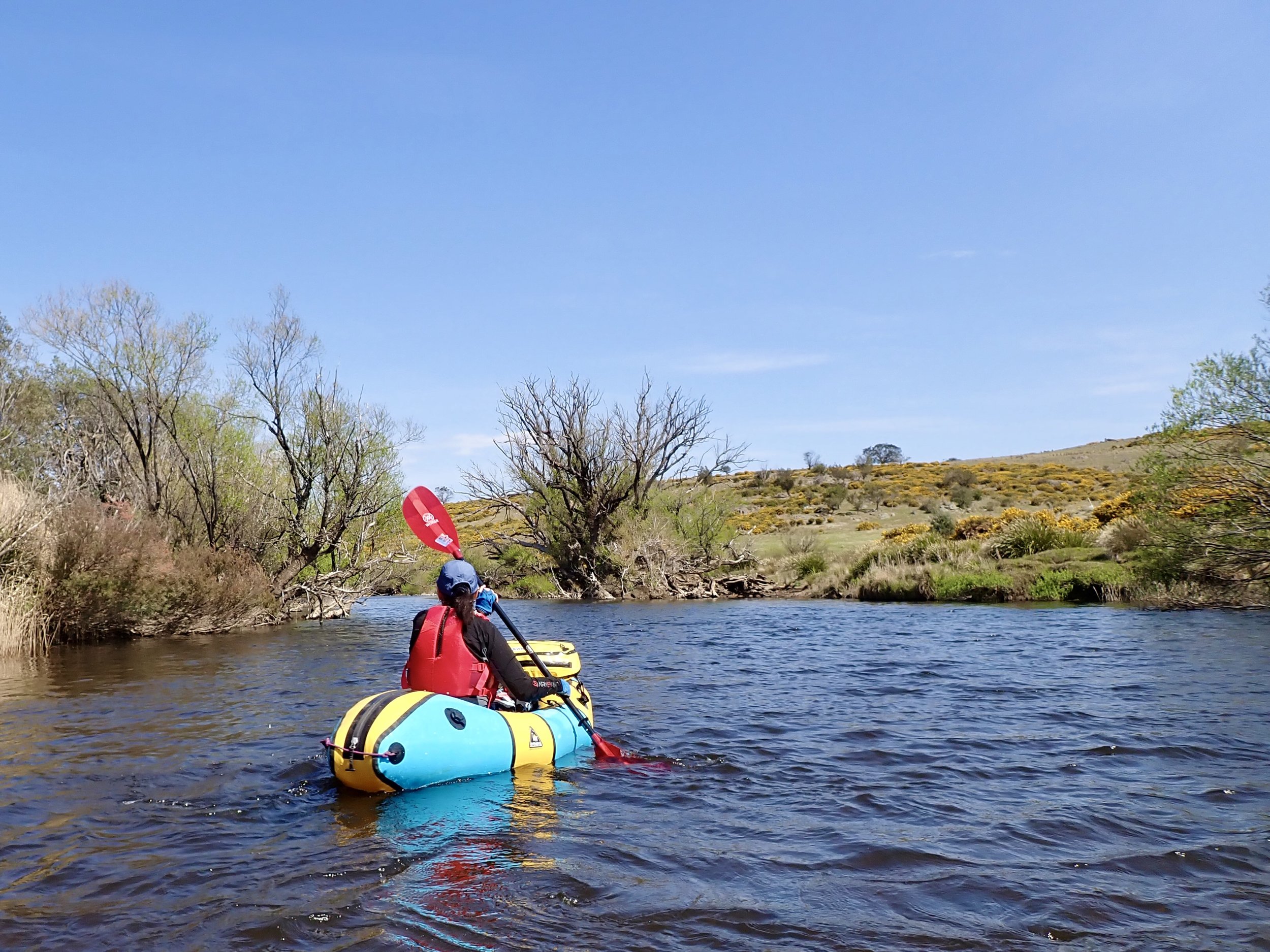
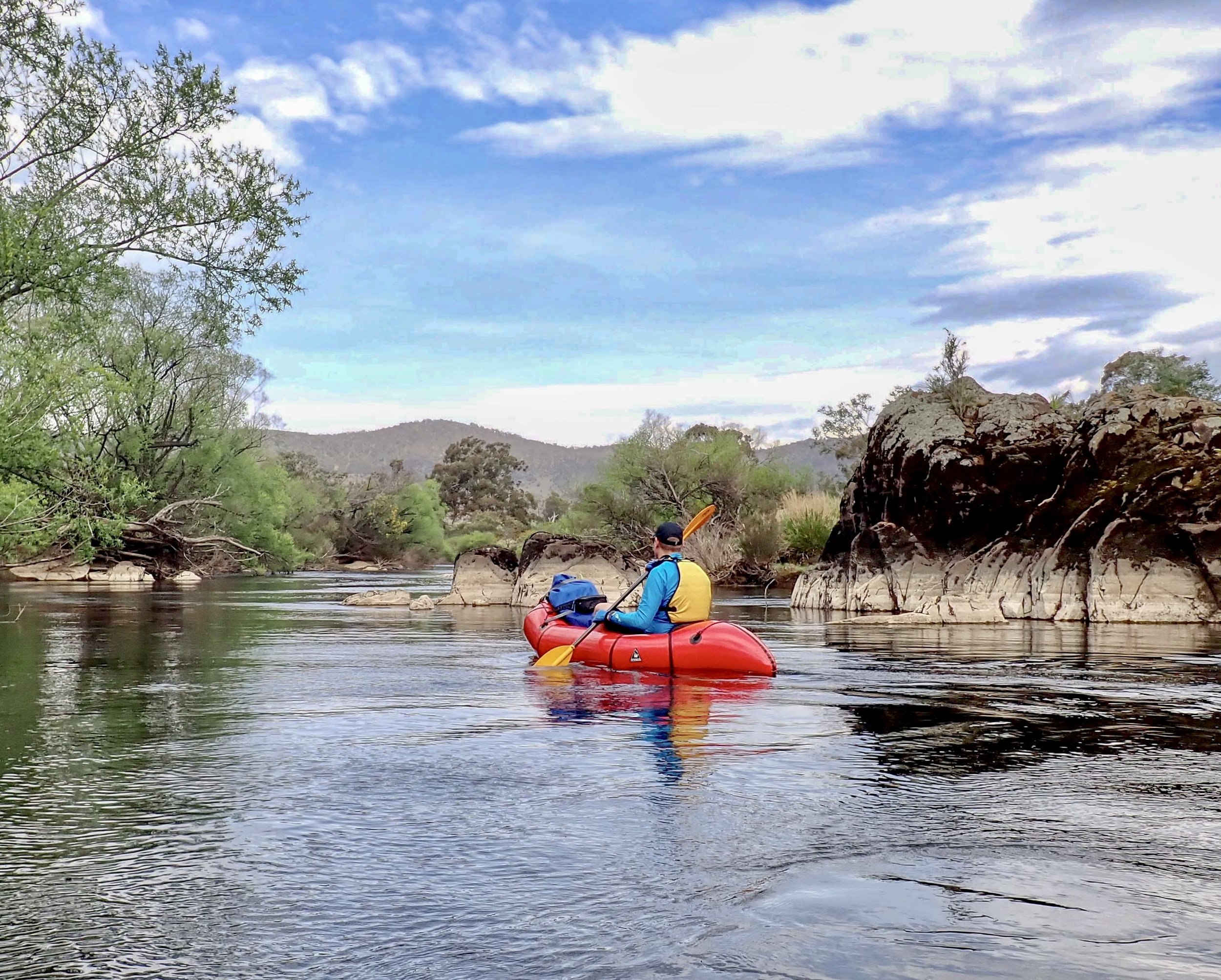
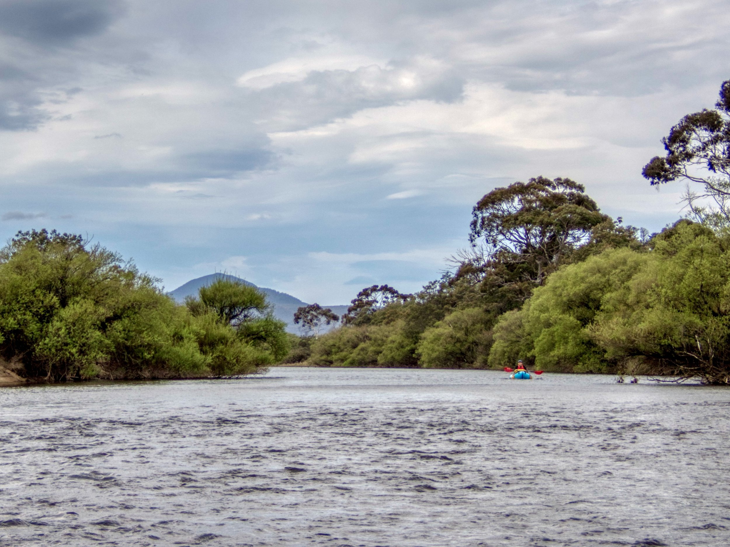
The River
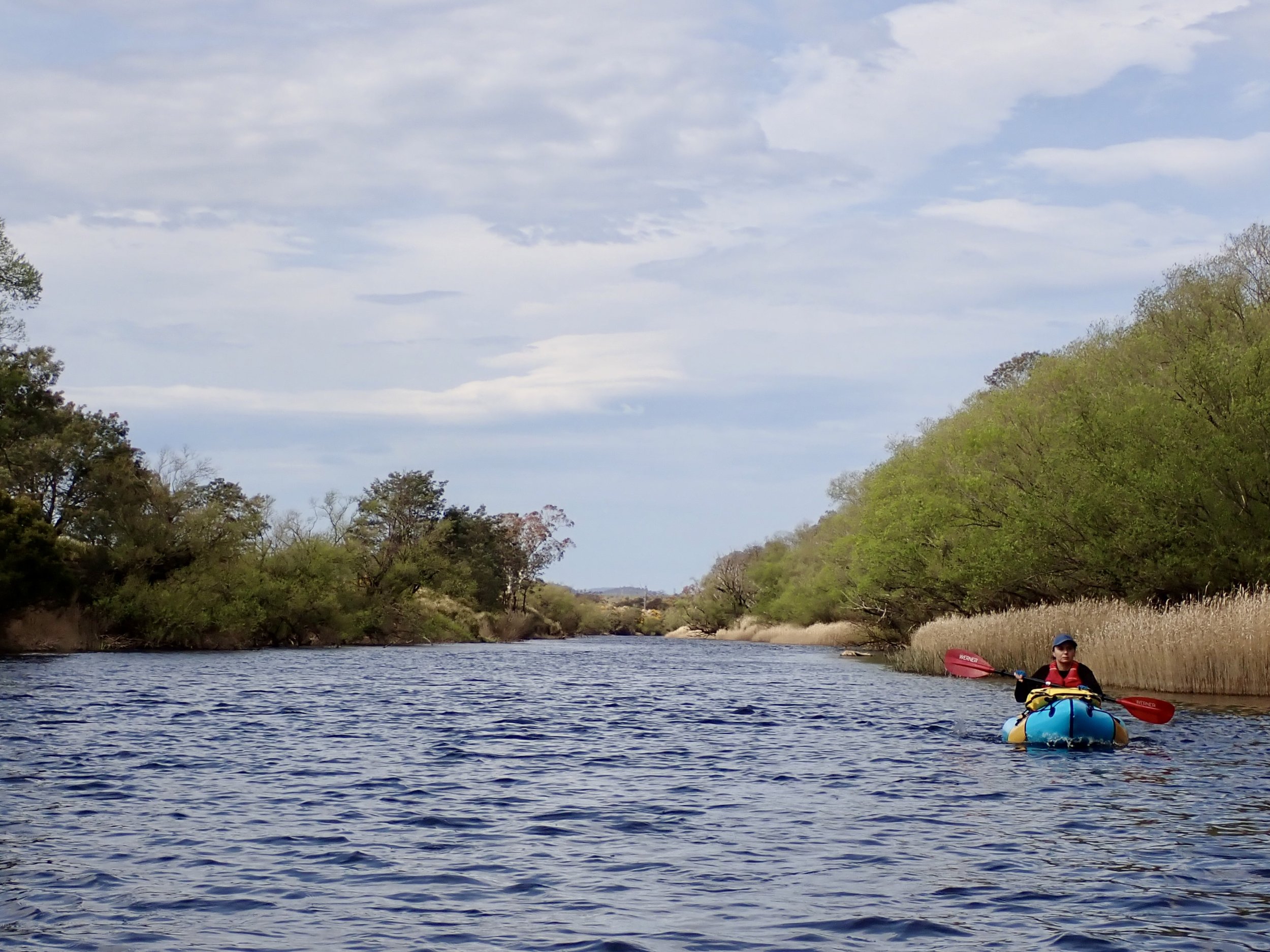
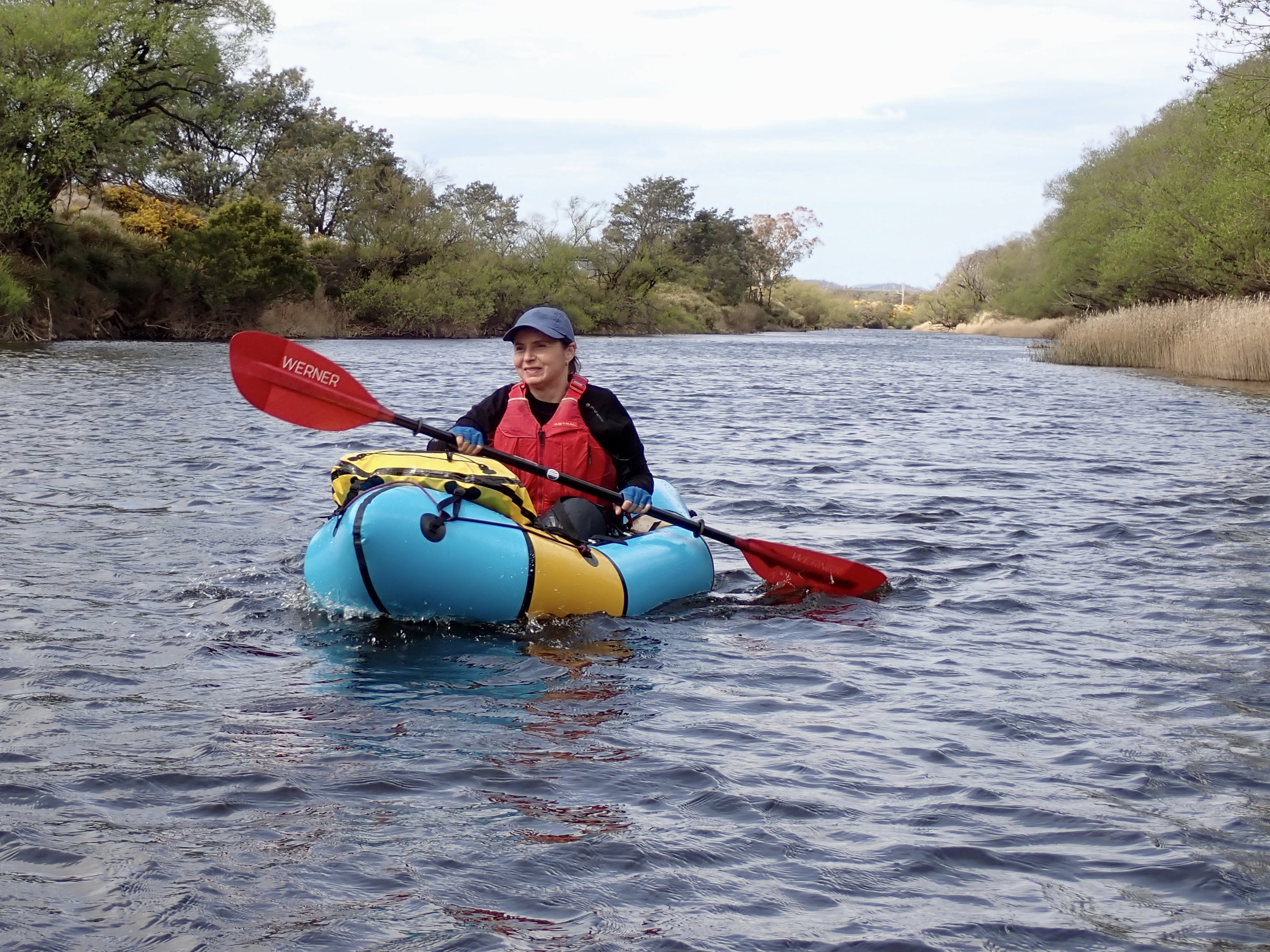
At the level we went, the river was mostly slow moving flat water. There were several shingle rapids along its length, and probably only one slightly more substantial rapid.
At one point, about of a third of the way in, a male deer waded out into the river ahead of us, crossing from left to right. We stopped to watch as he stopped in the middle of the river, apparently standing guard as several female deer came down into the water and crossed, before he followed.

Overall the river was a pleasant, if unexciting, paddle. However in the afternoon the wind came up and we copped a horrendous head wind for a several kilometre stretch, where it felt like we were nearly making any headway.
Exit Point
After 3.5 hours of paddling, we made it to the bridge over the river on Bonneys Plains Road. After passing under the bridge we exited on river left and made our way back to the car.