Shadow Lake Circuit
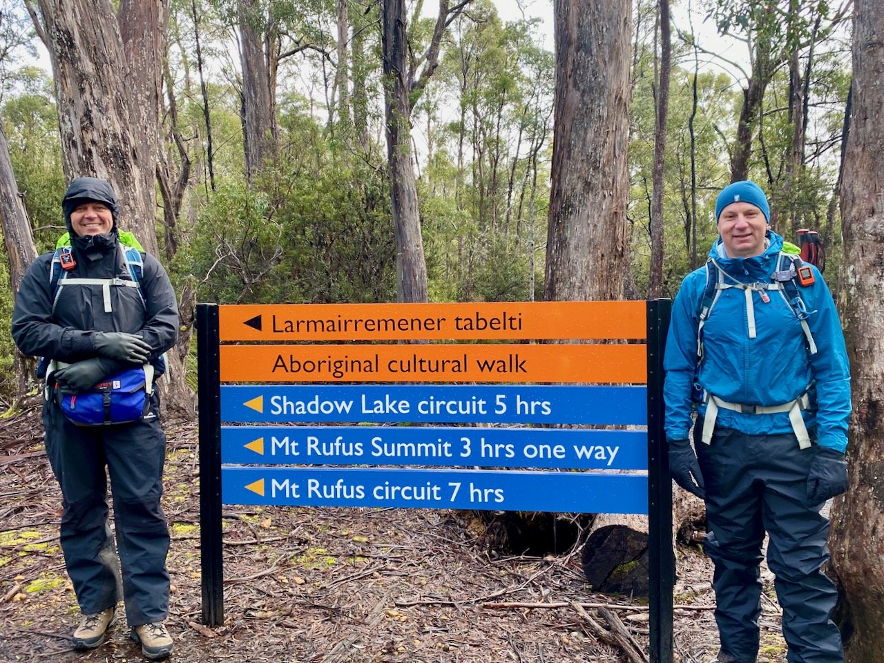
After two years of dodging and weaving, COVID-19 finally caught up with me in July, which knocked me out from doing anything for about three weeks. So on the 6th of August 2022, when I was finally feeling well enough to do something that wasn’t too taxing, Col and I decided to head up to Lake St Clair to do the Shadow Lake Circuit.
All up, it took us 5½ hours to do the 15km circuit (including breaks). This was roughly in line with the sign-posted time of 5 hours, but a fair bit slower than many reports of people doing it in around 4 hours. Whether this was down to my post-COVID recovery, or just that we are slow, I’m not really sure!
Location
The walks starts from the visitor centre at Cynthia Bay on Lake St Clair. Both TasTrails and AllTrails have good maps.
The Track
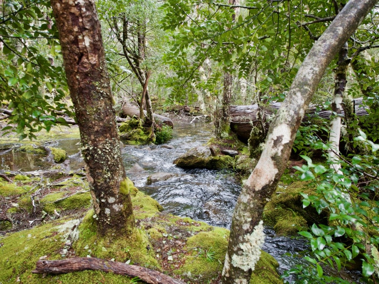
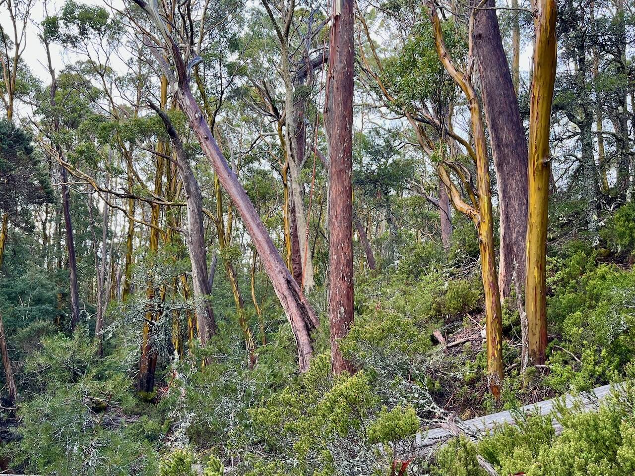
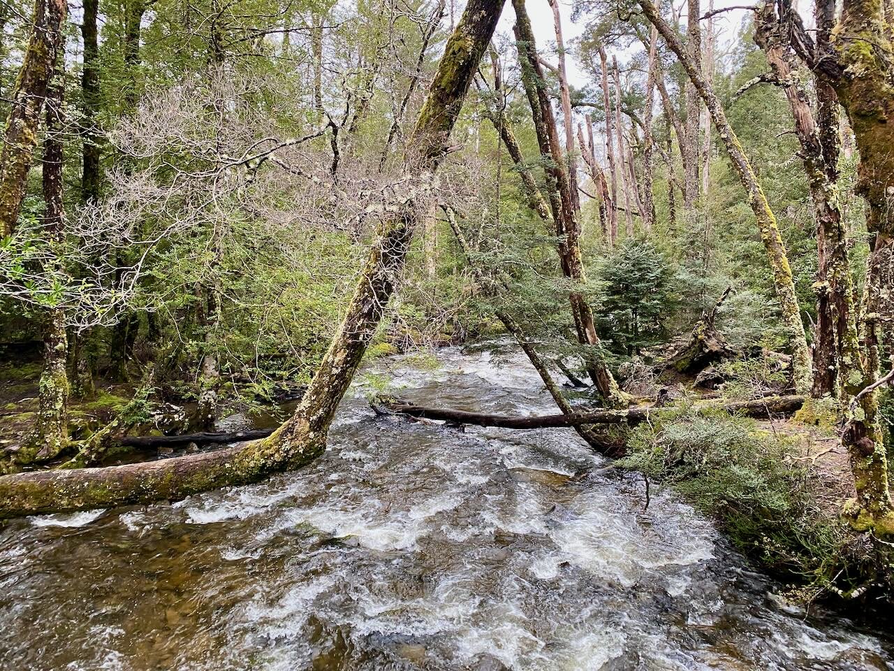
The track is clearly sign-posted and marked, except for one tiny section about 5.8km in. After crossing the above stream, the track climbs and then descends into a gully. Here I initially went left, but the track goes right. But even after making this correction, I stuffed up again. While climbing out of the gully it was unclear whether the track continues straight along the side of the hill and under some fallen tress, or depends right into the gully. The answer is neither! Instead it takes a hard left onto the ridge line — which I only discovered after backtracking post a scramble up the steep part of the hill.
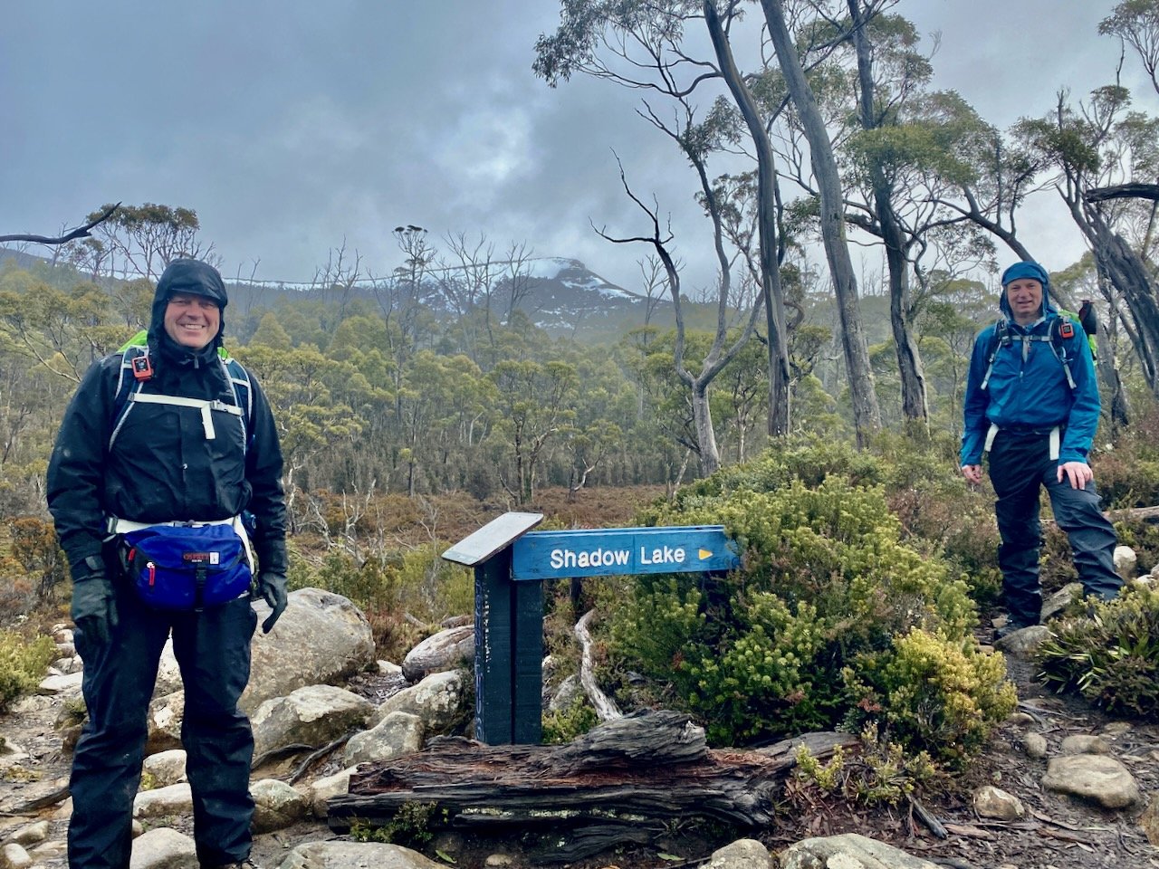
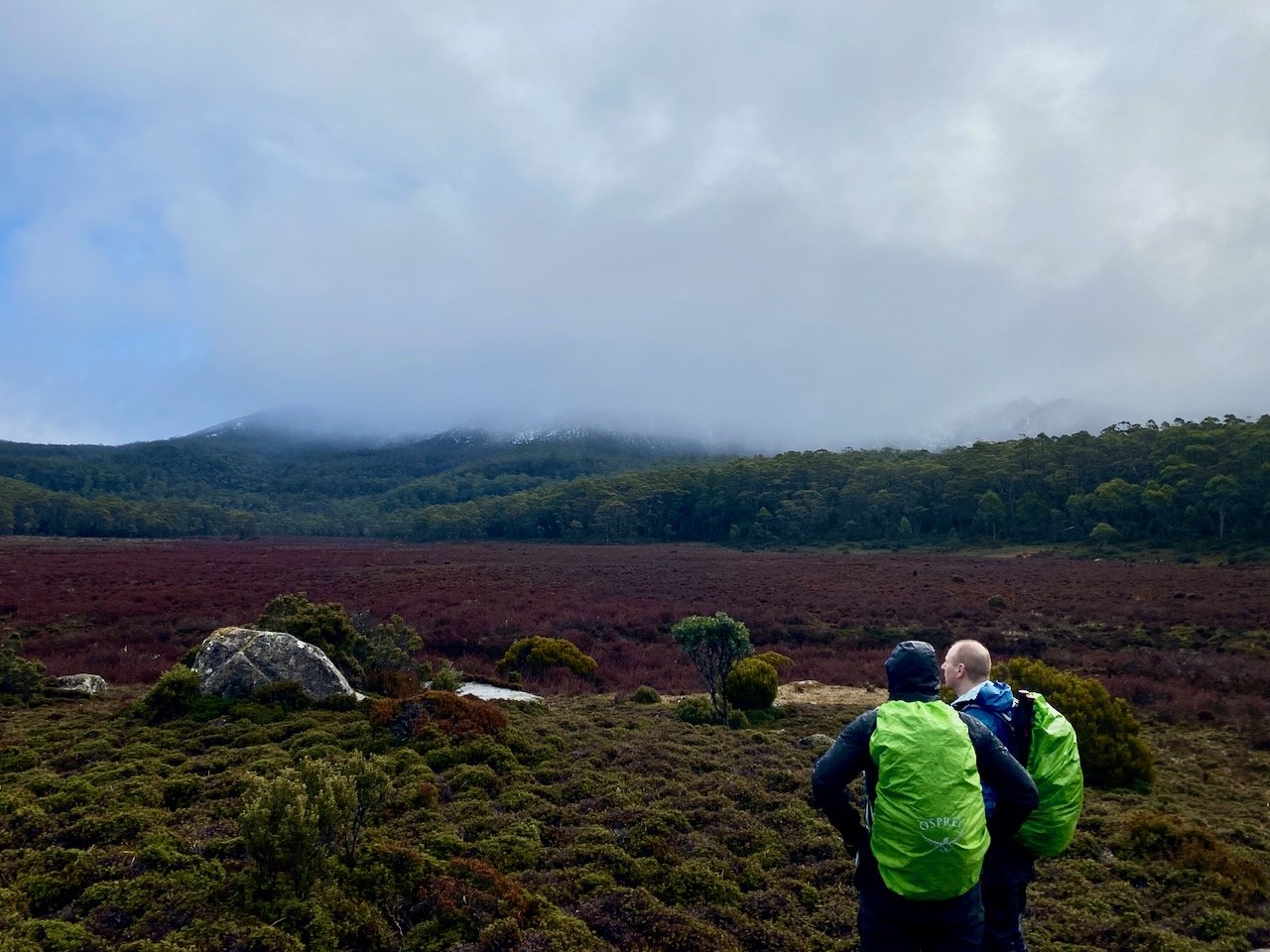
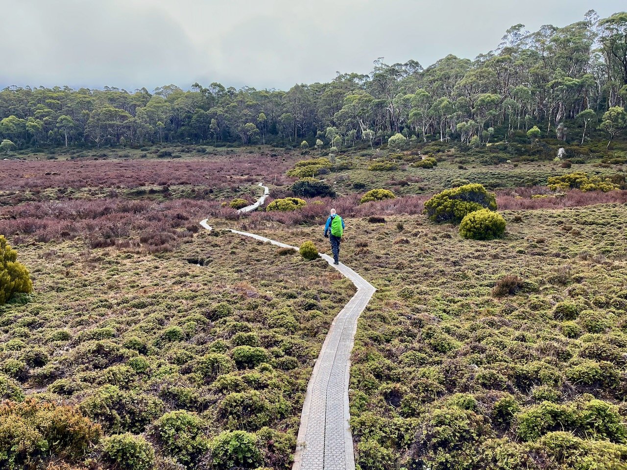
A short distance after the turn-off to Shadow Lake (instead of continuing on to Mt Rufus), some open plains are encountered in advance of the lake.
And it is only a short distance on before the lake itself is reached.
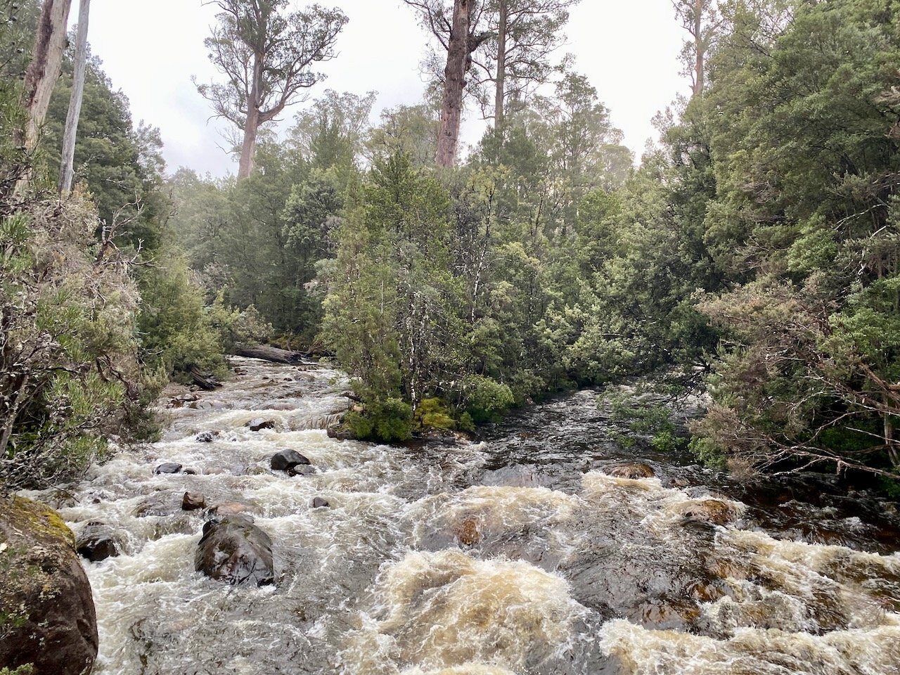
After skirting around the lake, the track then starts the descent back down to the finish via Waters Meet, the confluence of the Hugel and Cuvier Rivers.
