Scamander River
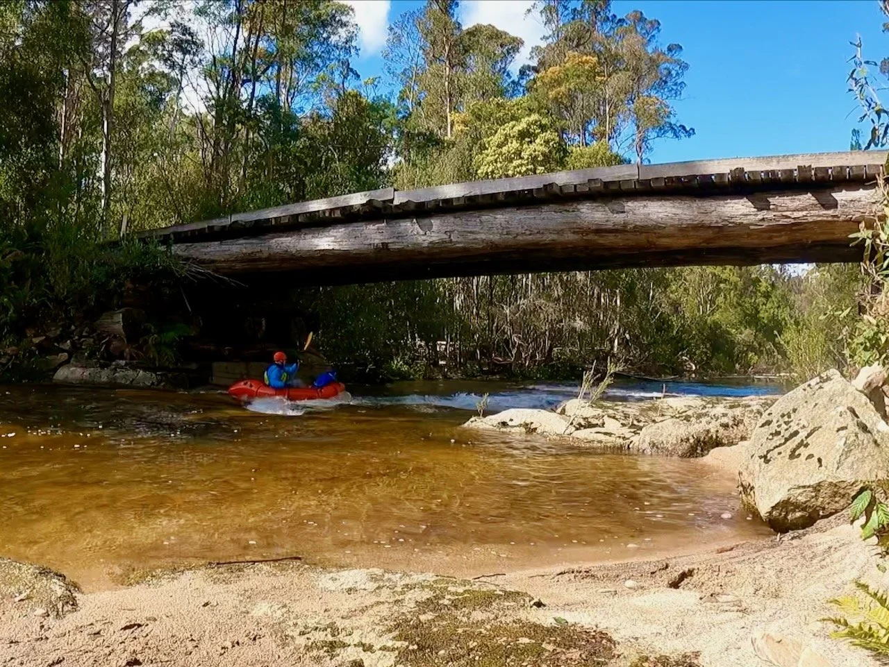
On Saturday the 12th of October 2024, I set out to paddle the Scamander River from Upper Scamander to the coast. This was a 16km paddle (with some side trips of the main stream) on mostly flat water. All up it took me just under 3 hours.
Location
This section of river runs from the bridge at the start of Eastern Creek Road at Upper Scamander to where the river empties into the sea at Scamander.
Entry Point
Having checked out the route on the map before departing, I thought I’d be able to enter the river on the western most bend that comes close to Upper Scamander Road, as shown on the map above — knowing that there was little water at the bridge at the intersection with Eastern Creek Road. However, it turned out the river bank was too high here to get my kayak in. As a result, I resorted to entering from the bridge.
There was plenty of room here to unload the kayak, and good access to the river, although there wasn’t quite sufficient water to paddle in! However, I only had to drag the kayak a short distance downstream before I had sufficient water to get in.


The River
In this top section of the river there were a couple of little shingle rapids, but they weren’t any issue to negotiate at all, and soon I was in deep flat water on a wide river.


On my way down river I made a short detour along Dunns Arm towards Workers Creek, but wasn’t able to get very far. I then continued on down the main river to Arm Creek, exploring as far upstream there as I could before continuing on to my exit point at the boat ramp on the river at Scamander.


