Packrafting the South Esk River – Upper Esk
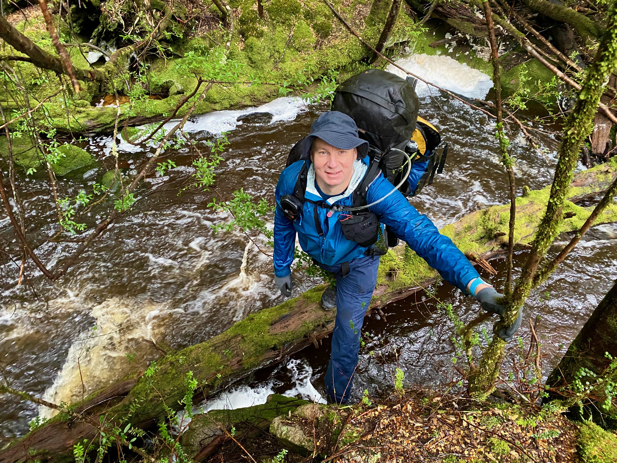
In my continuing exploration of the South Esk River, I decided to check out an upper region of the river at Upper Esk on Saturday the 14th of September 2024. Sadly, this section of the river is choked with log jams that made it a bush-bashing slog, so I wouldn’t recommend it to anyone else.
The Stats
Water level: 0.87m at Upper Esk Bridge
Grade: 1-2
Distance: 6km
Time: 2 hrs and 20 mins (with portages)
Location
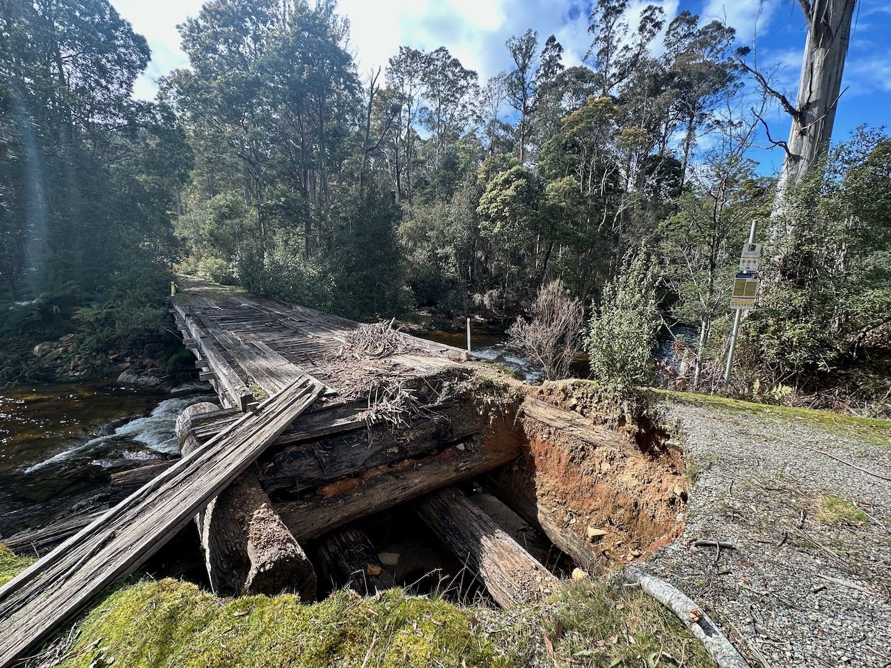
This section of river runs parallel with Upper Esk Road at Upper Esk. I left my car at the finish point, just east of the intersection with Gunns Road, and road my mountain bike to the start at the now impassable Upper Esk Bridge.
Entry Point
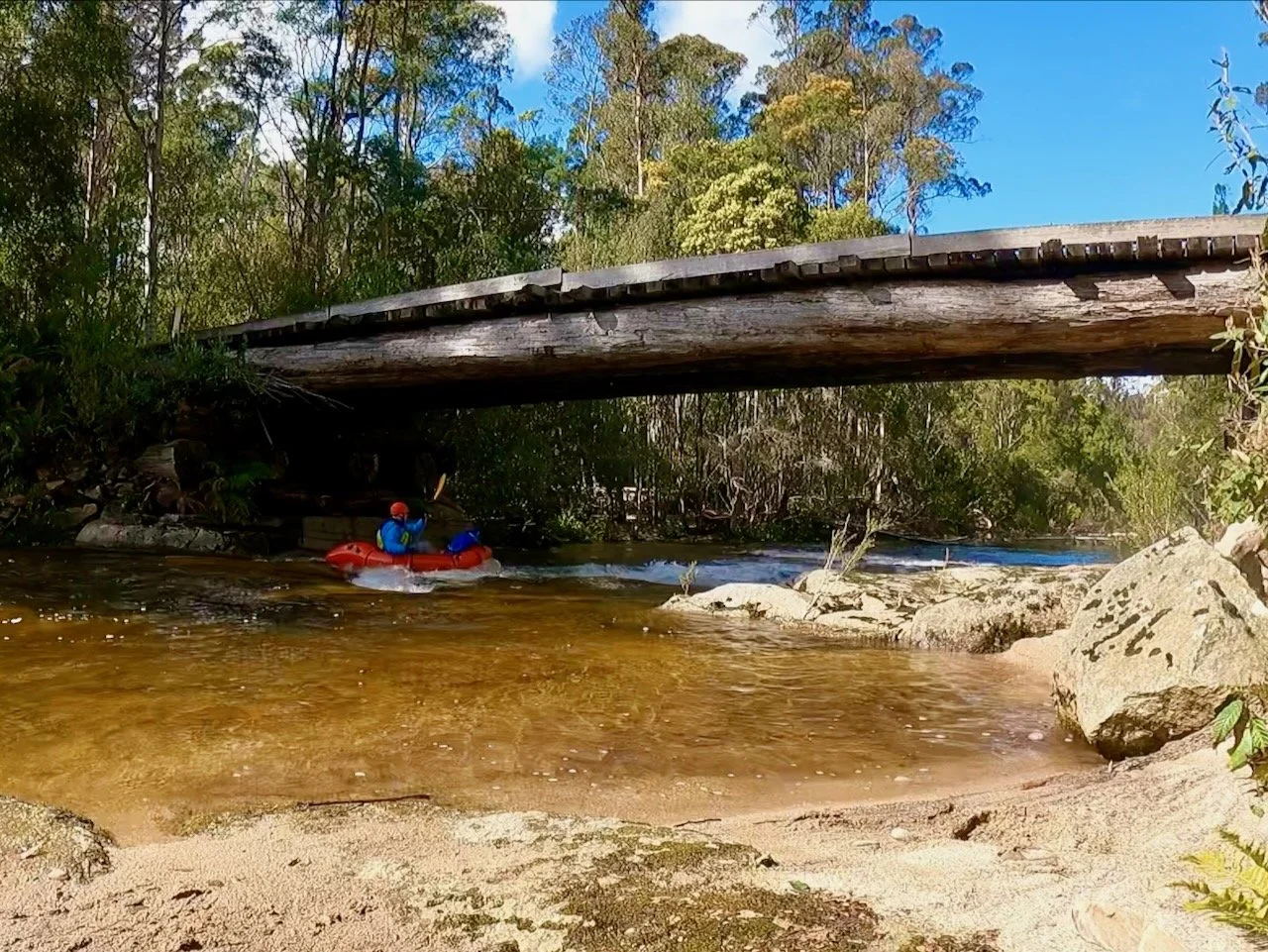
At the Upper Esk Bridge there is easy access down to the water on either the upstream or downstream side of the bridge (from the bridge’s western side, accessed via Upper Esk Road).
The River
Sections of the river are open and boarded by lovely forest, including at the start. However, sadly the river has regular, and significant, log jams that need to be portaged. None were too difficult to get around, but it made the short river section time consuming to complete, regularly interrupted paddling, and took most of the joy out of the trip.
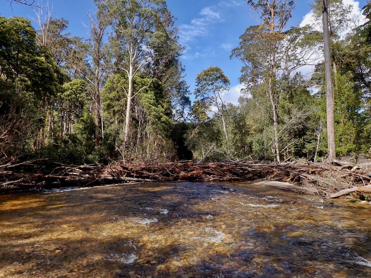
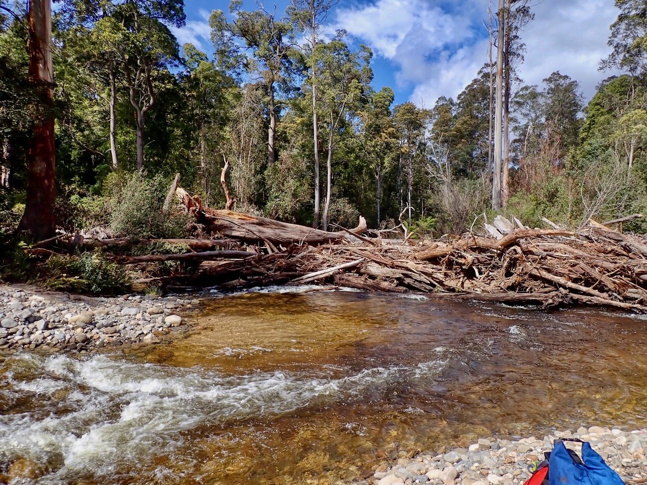
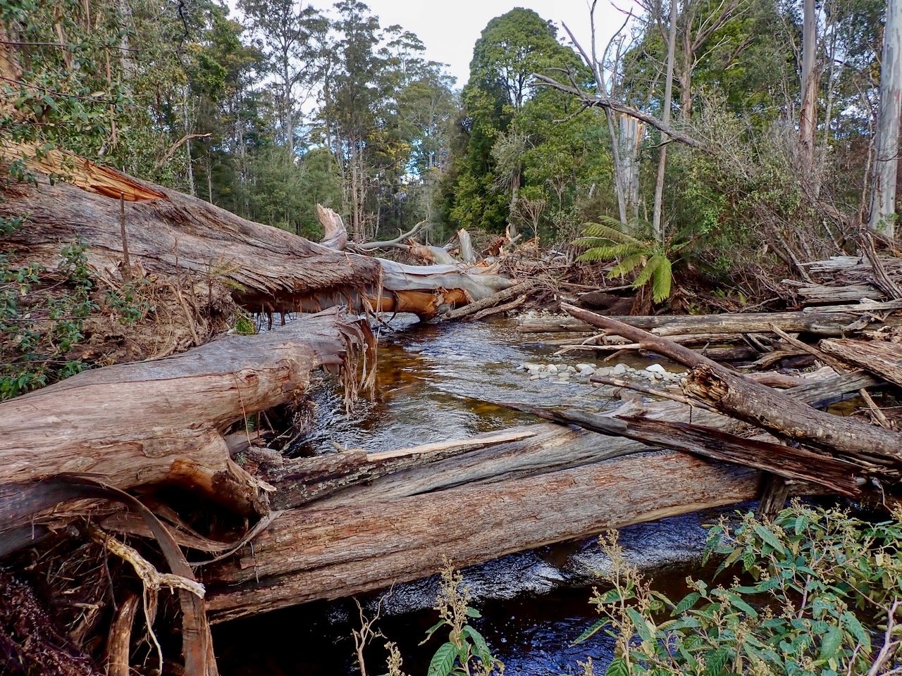
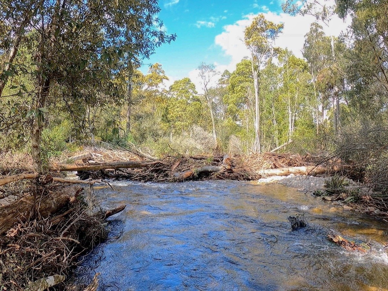
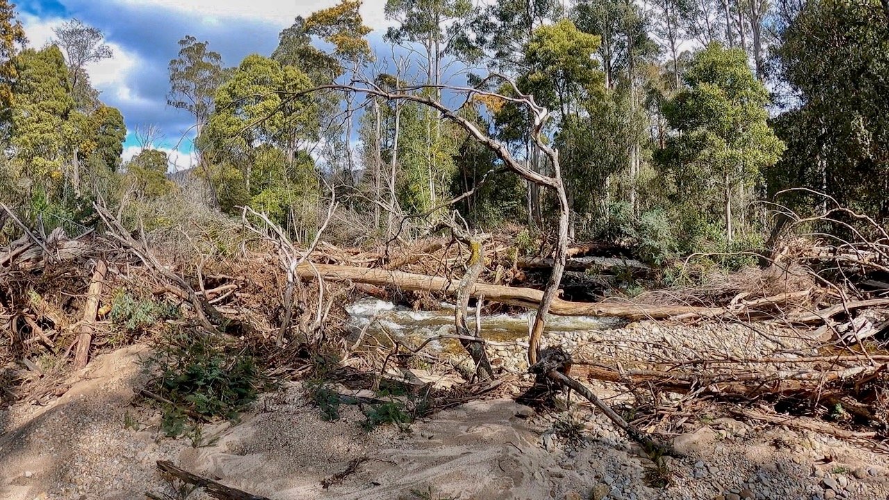
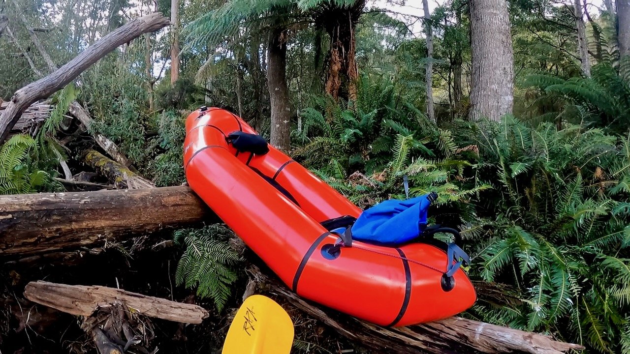
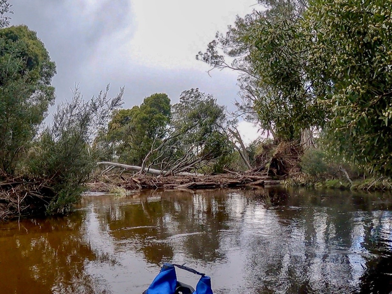
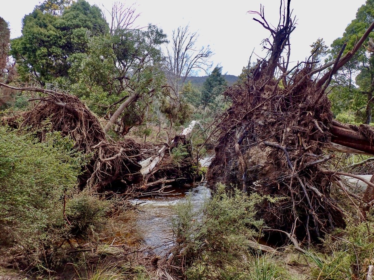
What paddling there was in the upper part of this section was pleasant grade 1 or flat water at the level I did it (0.87m on the gauge at the Upper Esk Bridge). Conversely, the last 1-2km of this section was clear of log jams, excepting a large tree that has come down completely across the river at the finish, and contained a series of easy grade 2 rapids (about three in total).
Exit Point
The exit point from the river is a fisherman’s access point on Upper Esk Road, just east of the intersection with Gunns Road. Theses access points are marked on the brochure available on this page.
Video
The video below also covers my exploration of this section of the river.
