
Mt Wright
In early November 2024 I had some leave and decided to do a solo overnight trip to Mt Wright, which is off the Rasselas Track on the way to Lake Rhona. The original plan was to hike in and climb Mt Wright and then camp overnight, with the idea that I’d then raft the Gordon River down to Gordon Bend and walk back up the Rasselas Track the following day on my way back out. I didn’t end up doing the rafting segment, but on Tuesday the 5th of November, I set out to summit the mountain.
The Stats
Distance: 17km (return)
Time: 10hr (approx, including breaks, so could have been done as a day walk instead of an overnighter, although you also need to factor in a couple of hours driving on each side of the walk)
Elevation Gain: 993m (821m net)
Location
The mountain, and track to get to it, start northwest of Maydena. The Parks and Wildlife website describes the route to the start as follows:
From Hobart, take the Brooker Highway (A1) north west to New Norfolk, then follow the B62 along the Derwent River to Westerway. Follow the signs to Maydena along the Gordon River Road (B61). 2km out of Maydena turn right onto the Florentine Road an follow it for 27km. Turn left onto Tiger Road and follow for 3.5km before turning left onto Range Road. After 3.5km turn left again onto Terry Walch Road. After 3km turn right onto G03 Spur Road which leads to the Lake Rhona via Richea Creek carpark.
The route isn’t the most straightforward, and I was glad I had added it to my car map before I set out, particularly with there being no mobile phone coverage once you get out of Maydena. Towards the end, some of the roads are quite narrow and rough, and although they should be fine in most cars, you might question if you are going the right way if you aren’t sure of the route.
The Track
The track starts at the Richea Creek carpark, which is the starting point for the track to Lake Rhona. The track is easy to follow and is initially a gentle downhill, then flat, walk to the Gordon River — just over 2km and about 30 minutes walk from the start.
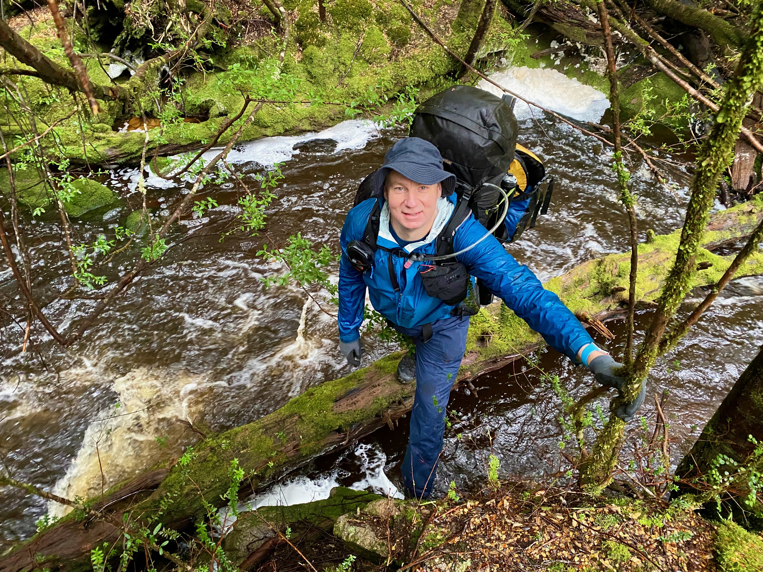
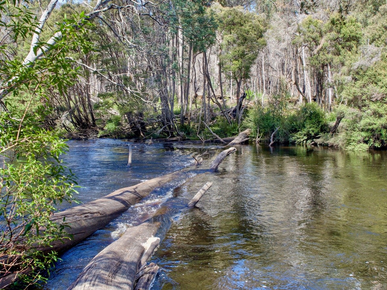
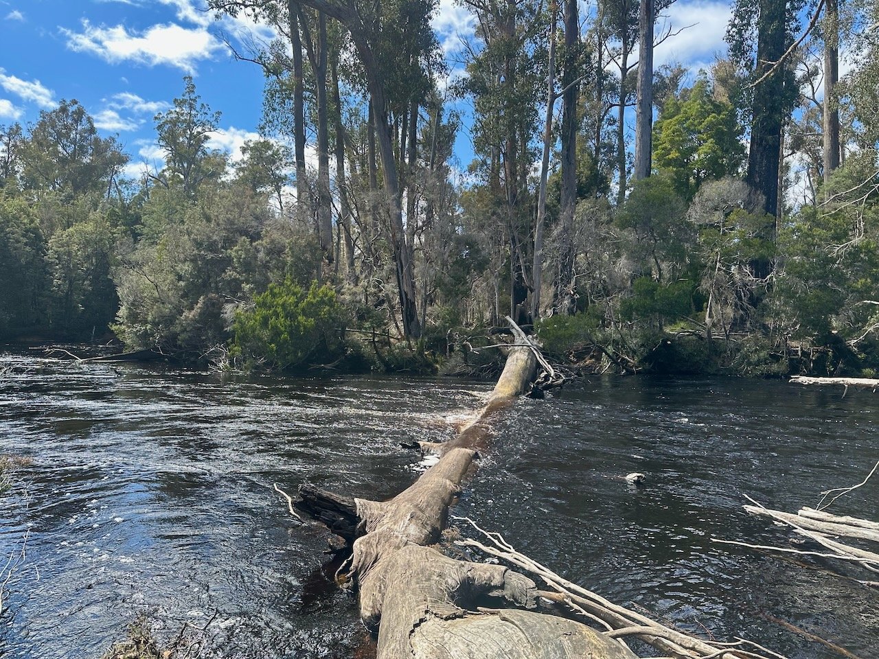
Where the track meets the river you will find the famous log crossing. In summer, the water level is usually well below the log, however the river level can rise leading to walkers getting stranded on the far side of the river. As a result, it is advised to have extra supplies in case you need to camp out for a few days for the river to drop. Anticipating this possibility, I had brought my packraft as a backup river crossing option.
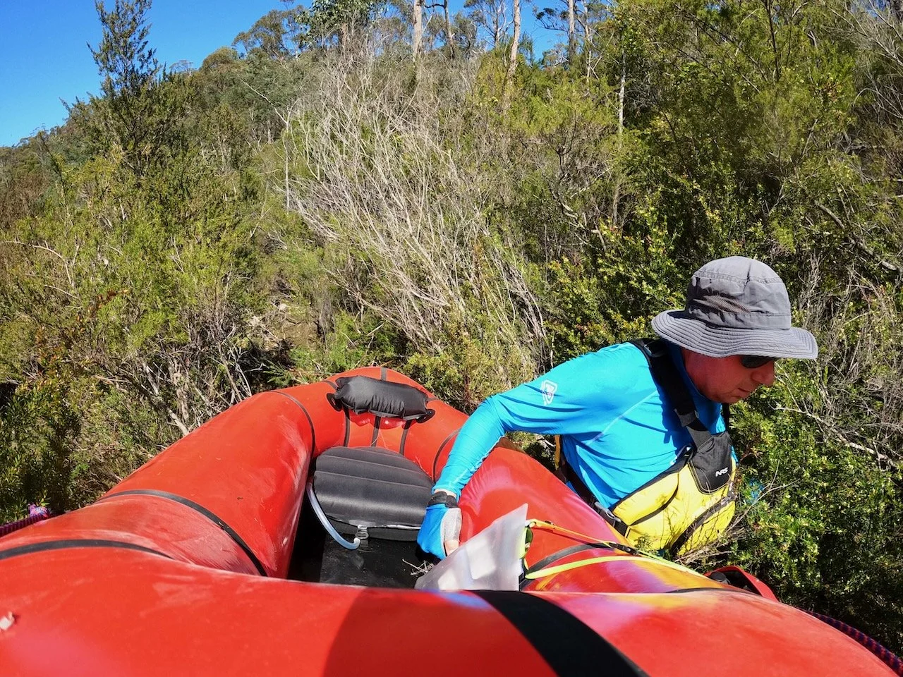
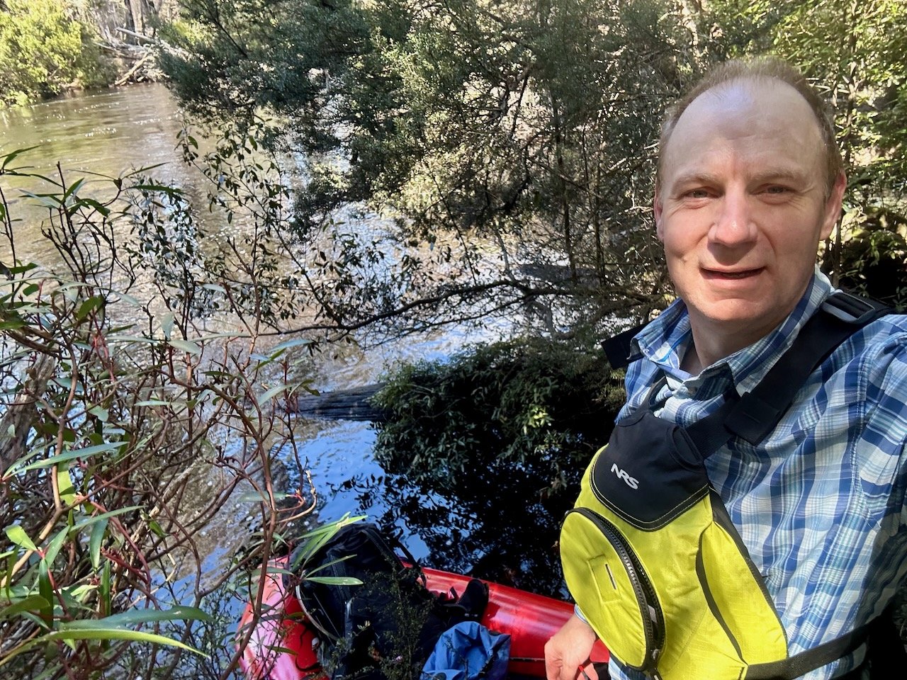
When I reached the river, I found the water level up, with water flowing across the log. Although it was only just under water, I didn’t have high confidence I’d get across carrying my pack without falling in — due to both the water flow and the likely slipperiness of the log. As a result, I headed upstream a few hundred metres to another log spanning the river. Although this also had some water flowing across it, I had more confidence I could cross as the flow wasn’t as strong, and I had brought some microspikes with me to reduce the chance of slipping. However, trying to get out to the substantive part of the log with my pack on was a challenge that I ended up giving up on given I had my packraft, and ultimately I used the raft to cross the river, even though the setup and pack down requirements burnt a bit of time.
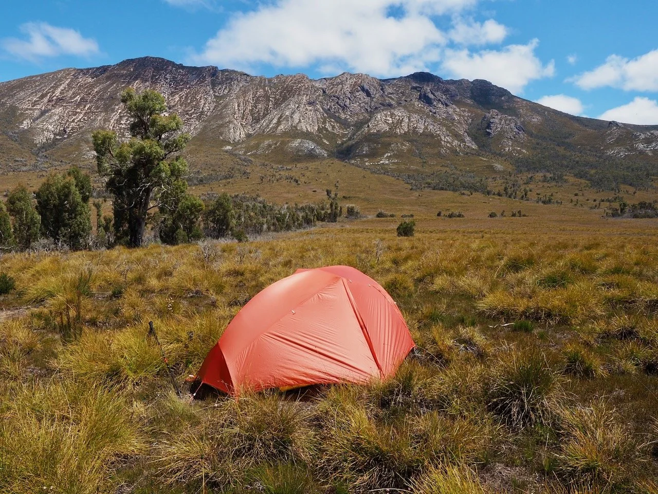
Initially my plan was to set up camp near the river and then continue on to summit Mt Wright, but I wasn’t super keen on leaving all my gear on the main track. As a result, I continued on to where the Rasselas Track turns north, and then turned off the track to the west a couple of hundred metres further on, starting my way across the button grass plain towards Mt Wright.
About 500m across the plain I found a high section that wasn’t boggy and set up my tent. I could even make out the famous Wright Arch from my campsite!

It was then time to start my assent of the mountain, with the route being completely untracked.
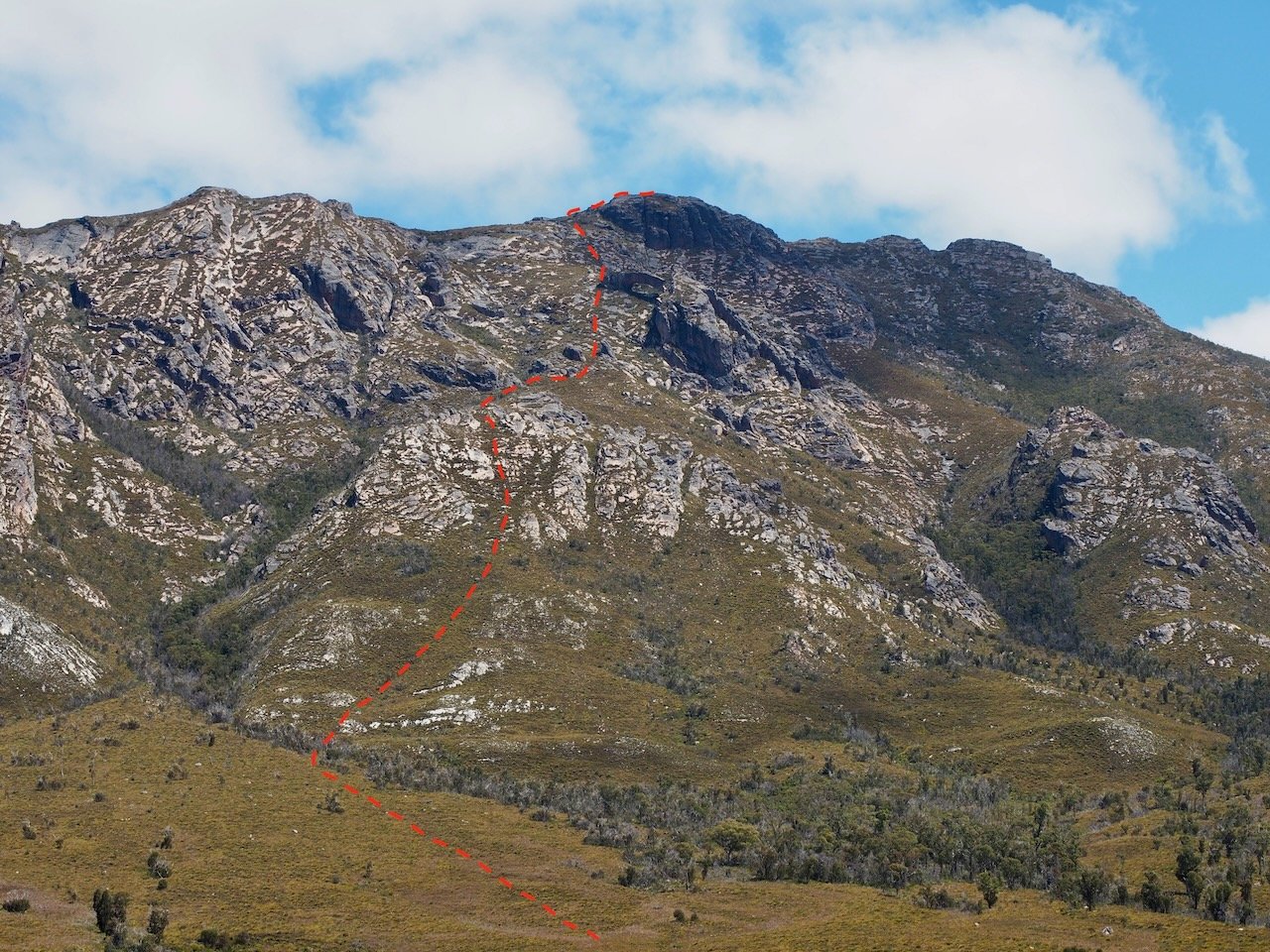
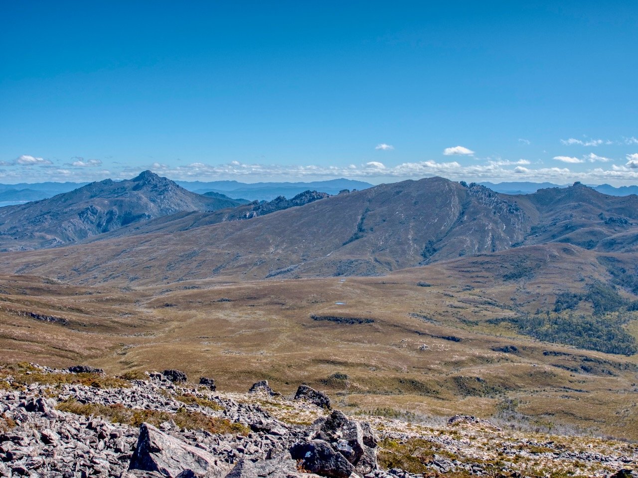
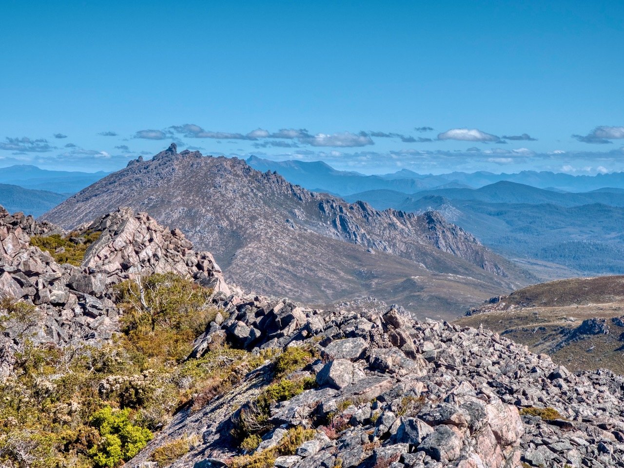
There was nothing technical in the climb, but it was extremely steep. Often, people climbing Mt Wright will do so as the first leg in a trip to also climb Stepped Hills, which lays beyond it. This requires camping in the valley between the two, and I was extremely grateful that I’d already climbed Stepped Hills from Lake Gordon, so didn’t need to carry my big pack up Mt Wright.
I lost the view of the arch for part of the climb, and didn’t realise until I got closer how massive it is.
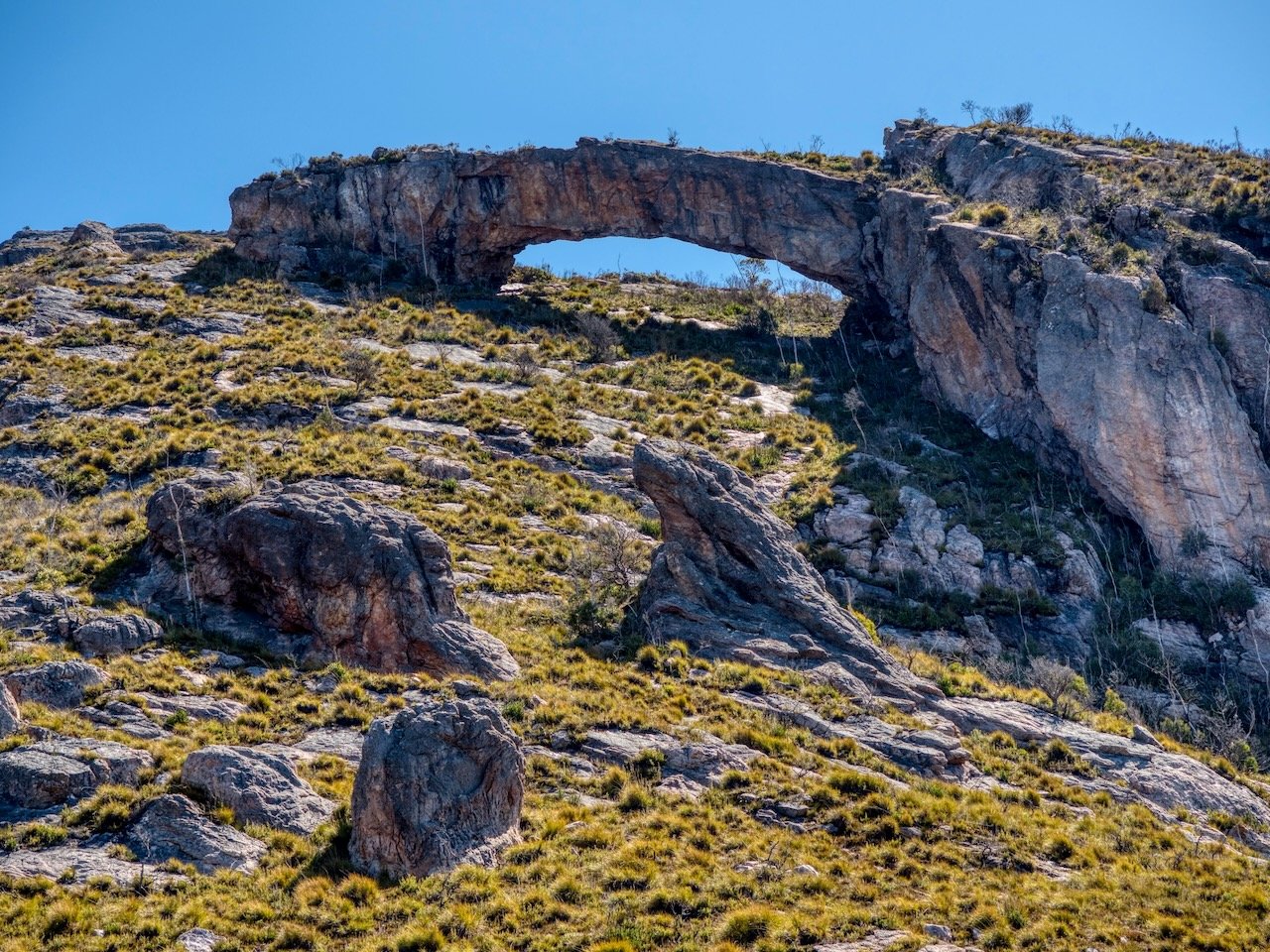
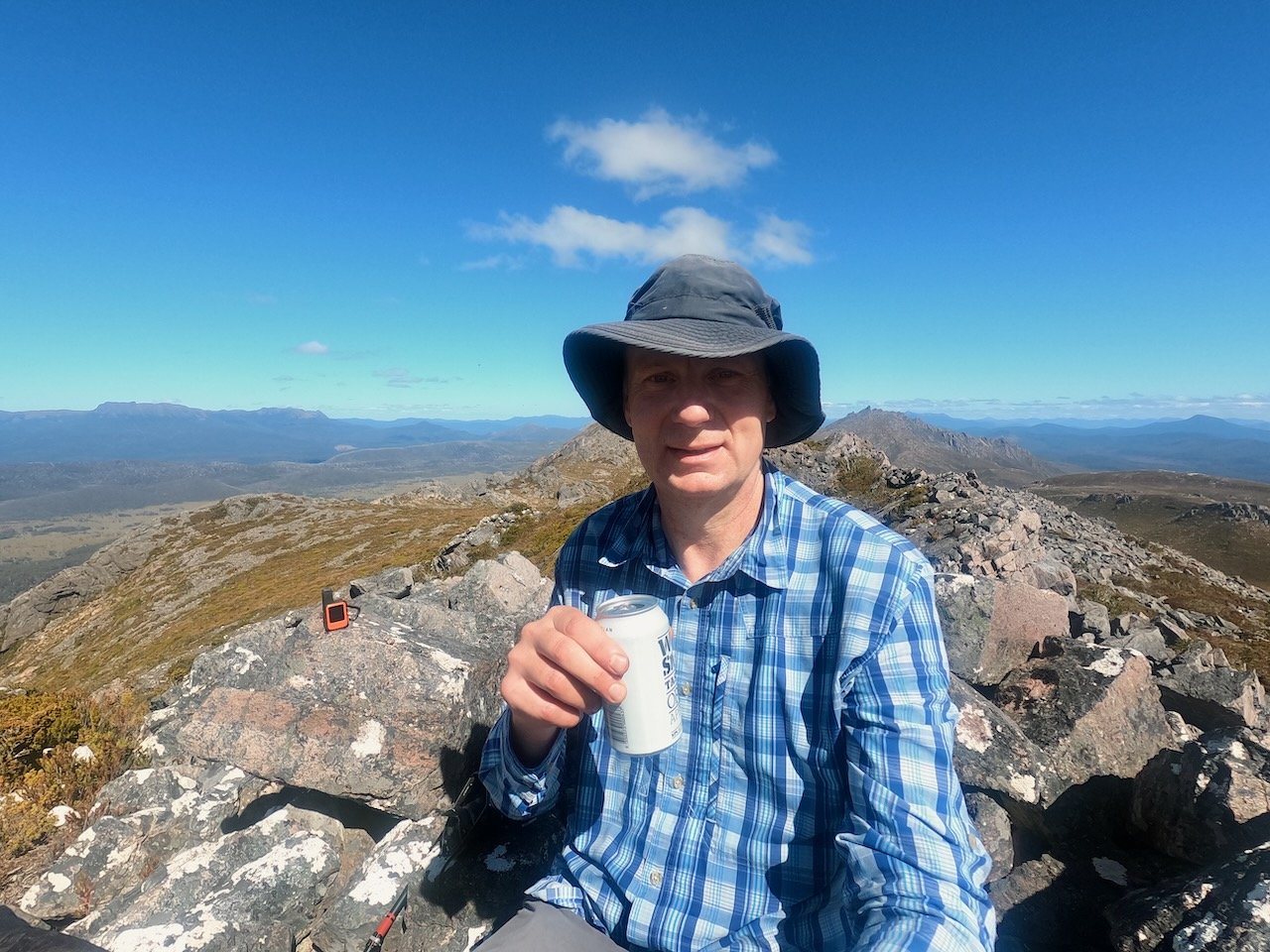
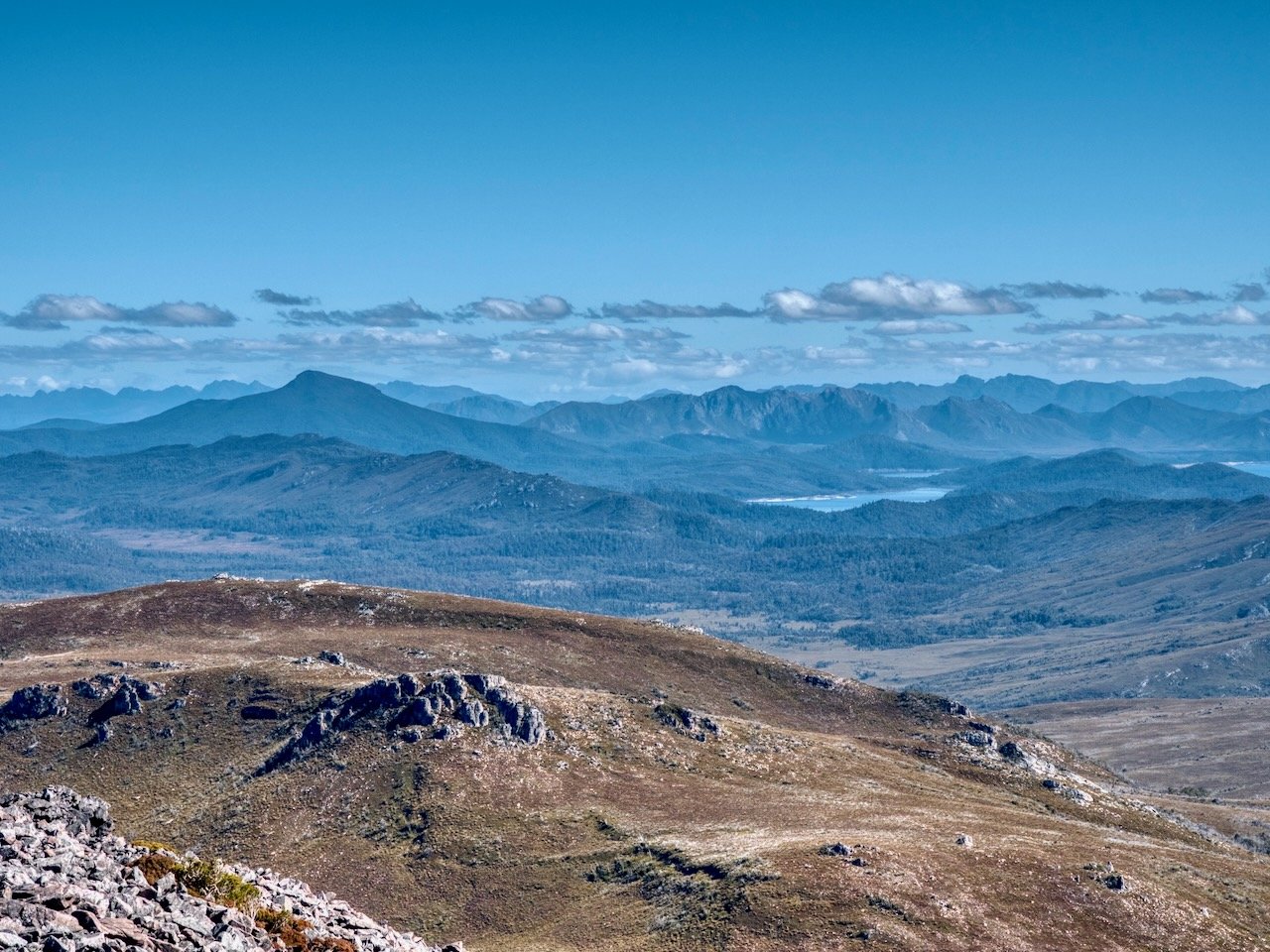
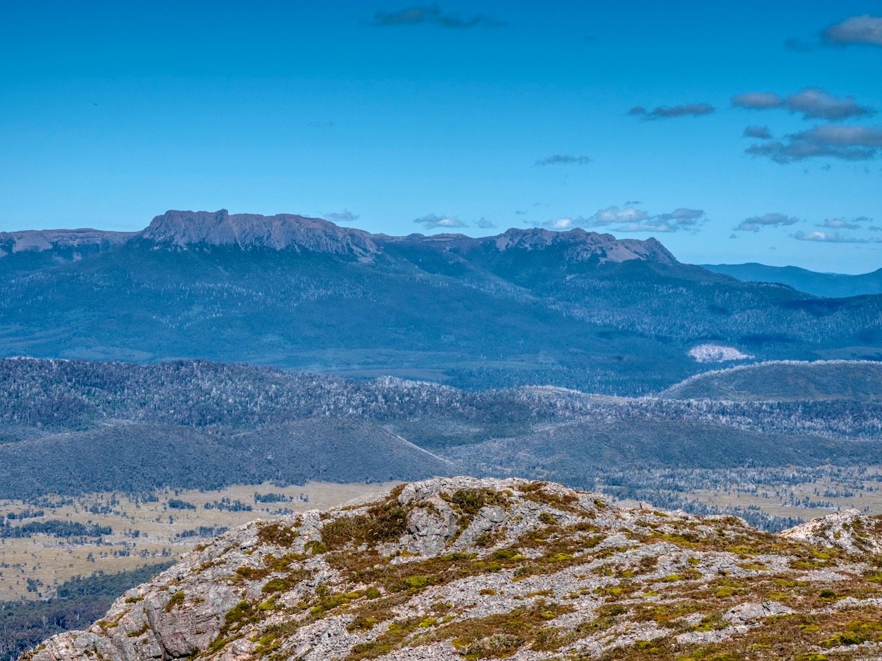
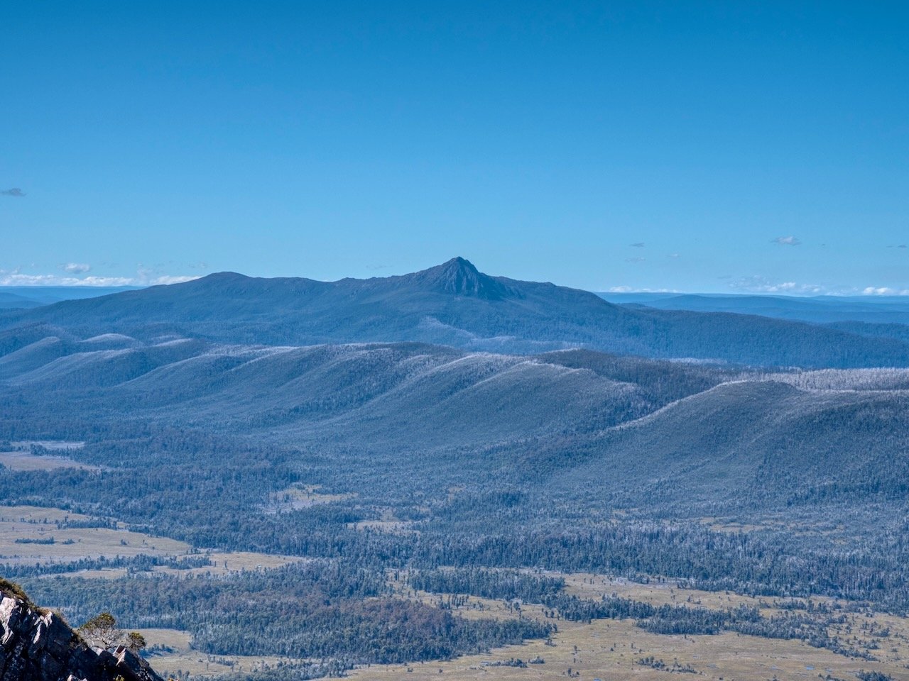
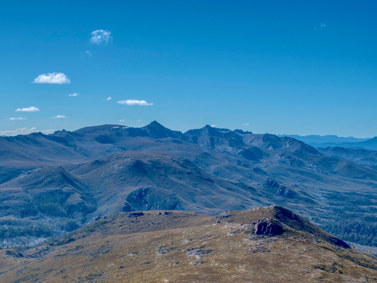
After checking out the arch, and taking the obligatory photos, I continued onto the summit. At the very top, there were two points that could have been the high point, with different maps giving me different indications as to which one was the summit. So, to make sure I could tick off this Abel, I ended up climbing both, while checking out the views of the surrounding mountains.
After summiting the mountain, it was time to return to camp.
The following day I packed up and made my way back out to the car and home. I gave away my plans to raft the river, as with the river level up, and me being on my own, I decided it probably wasn’t the safest activity — especially knowing there are many logs in the river that could create potential sieves.