Ansons River – Above Bottleneck Ford (Unpaddleable)
On the 21st of January 2024, I paddled the flat water section of the Ansons River from Bottleneck Ford to Ansons Bay. I’d found very little written about paddling this section of the river, but after doing it, it got me thinking about the potential to paddle the upstream section above Bottleneck Ford, even though I’d also been unable to find any information on this.
Looking at ListMap, I found a track marked off Ansons Bay Road that led upstream to the junction of the Big Boggy Creek and the Ansons River, and on RiverApp, I found a water level gauge located at the confluence of the two streams. This all led me to believe this section of river was potentially paddleable, which seemed to be supported by satellite imagery of the river.
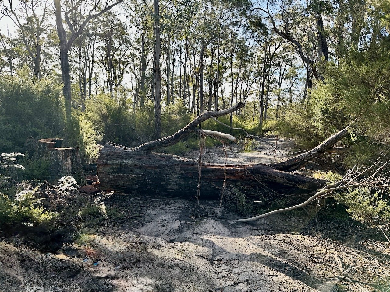
On Sunday the 4th of August 2024, I set out on a reconnaissance trip to check out my proposed entry point. Thankfully I’d marked out the track on my phone map, as there are many tracks leading into the bush of Ansons Bay Road, and there was nothing to mark this one. The track was reasonably straightforward in my all-wheel-drive, and probably would have been fine in a regular car. I managed to get to within about 700m of the river, where someone had felled a tree across the track.
No letting this dissuade me, I walked the remaining distance to the river, still excited about the prospect of exploring somewhere new. Unfortunately, when I got there, I found that the river downstream of my proposed entry point was choked with tea tree.
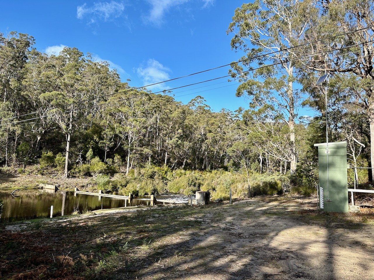
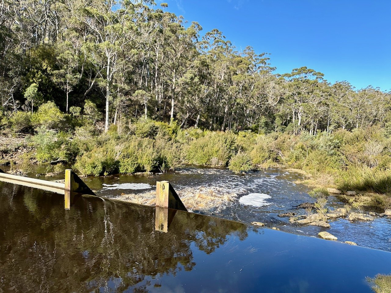
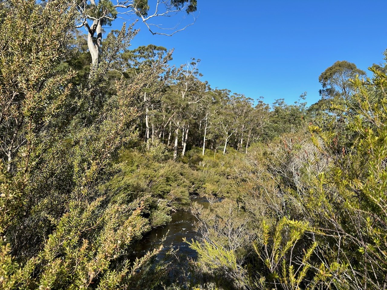
I made an attempt to try and push my way through the tea tree in the hope the river would open up, but didn’t get terribly far, and also couldn’t see any signs of a paddleable river. On the walk back to the car I looked for potential side routes to the river, but didn’t see anything promising. As a result, I gave up on the idea that this section of river was worth pursuing — for a time, at least.
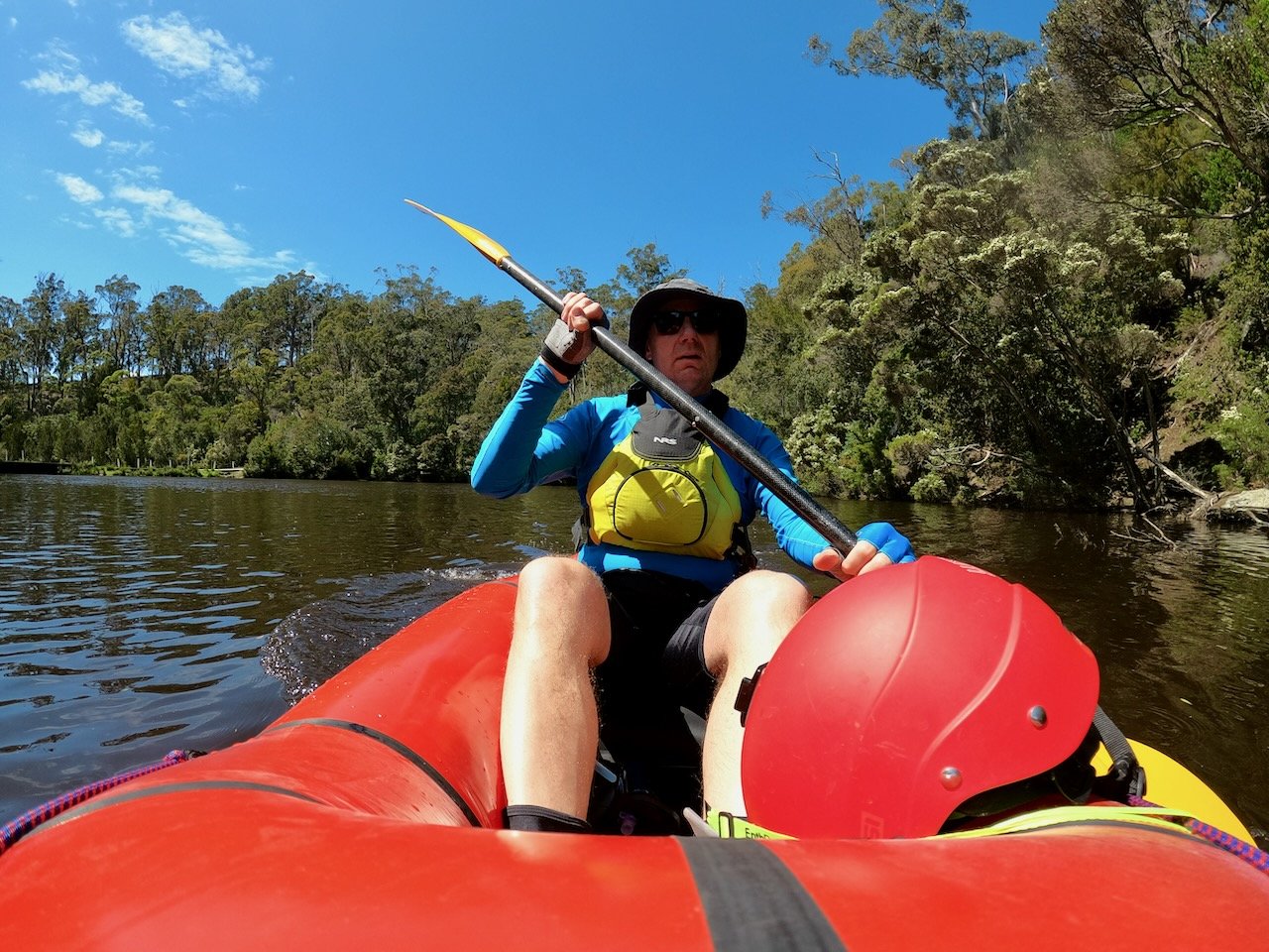
Then, on Sunday the 20th of October 2024, with a little bit of time to kill, I decided that maybe the way to check out this section of the river, and whether it could be paddled, was to paddle up it! So with renewed optimism, I set out upstream from Bottleneck Ford on what looked to be a wide and easily navigable river.
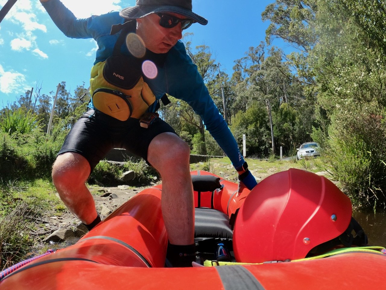
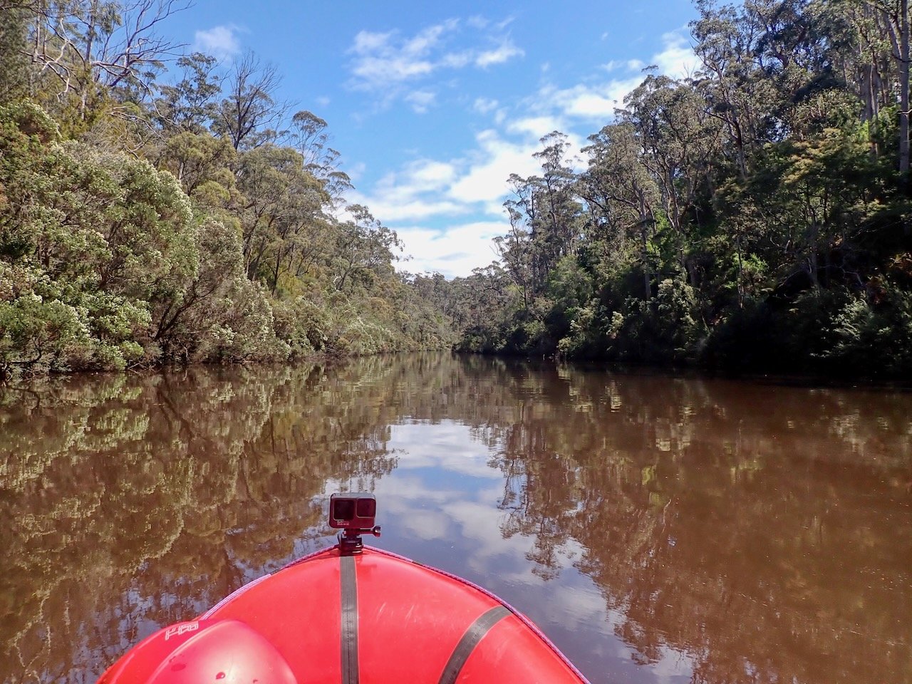
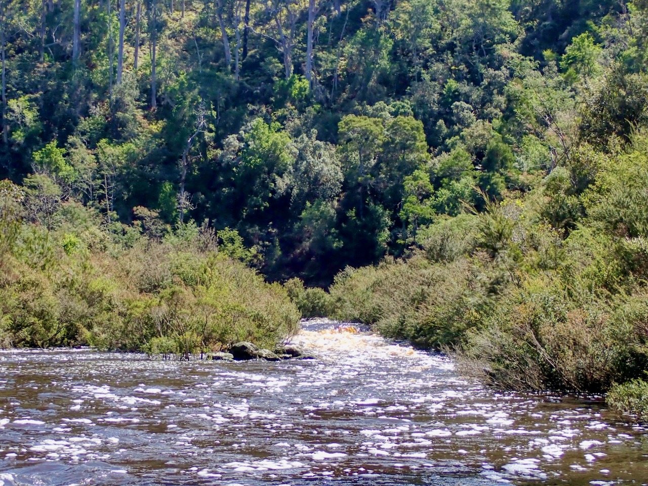
I made it about 500m upstream before encountering my first rapid. Sadly, the banks were again choked in tea tree, but I decided to bash my way through to above the rapid to see how far I could get, thinking that the basing would only be in one direction, as I’d be able to paddle back downstream.
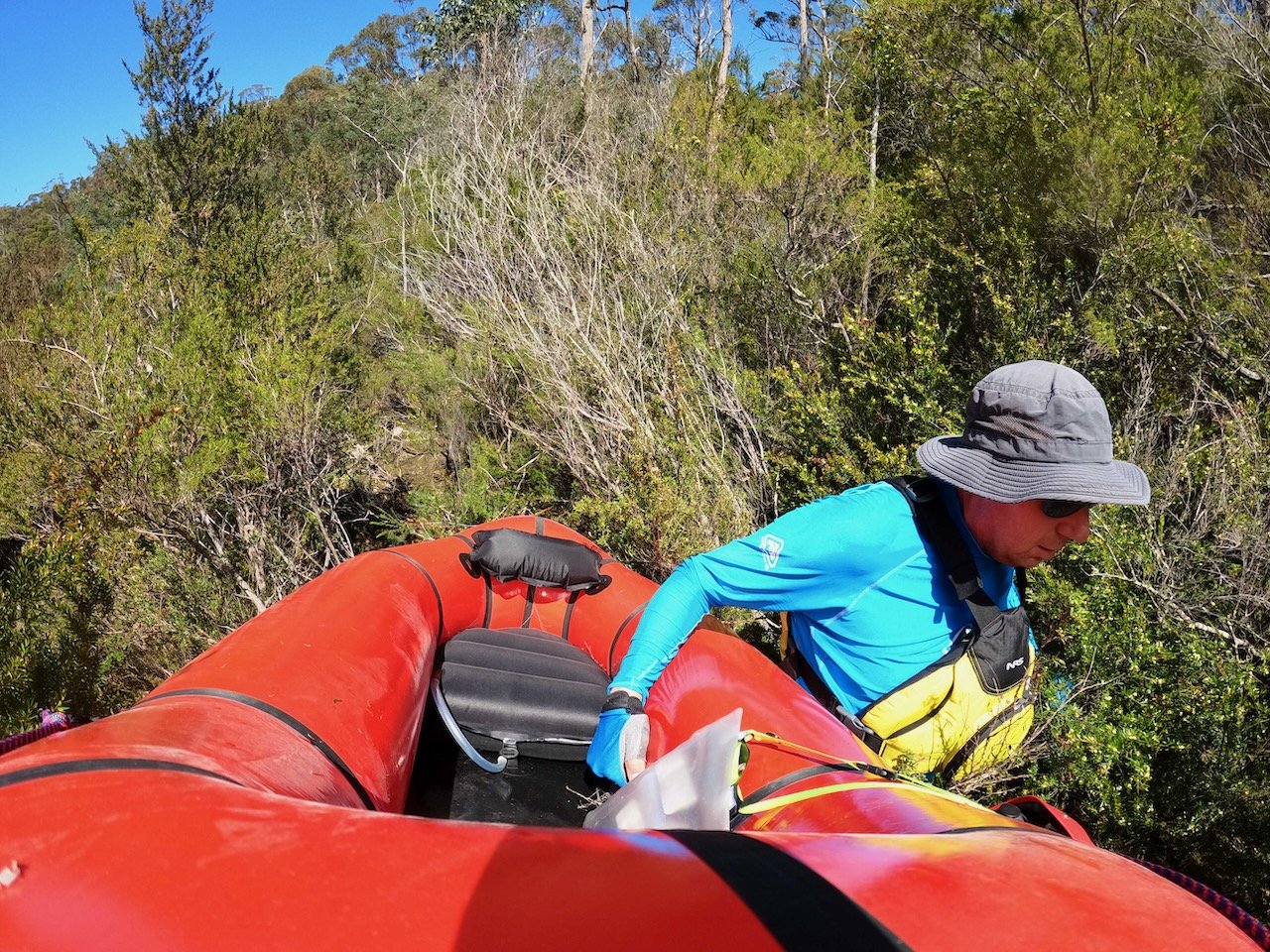
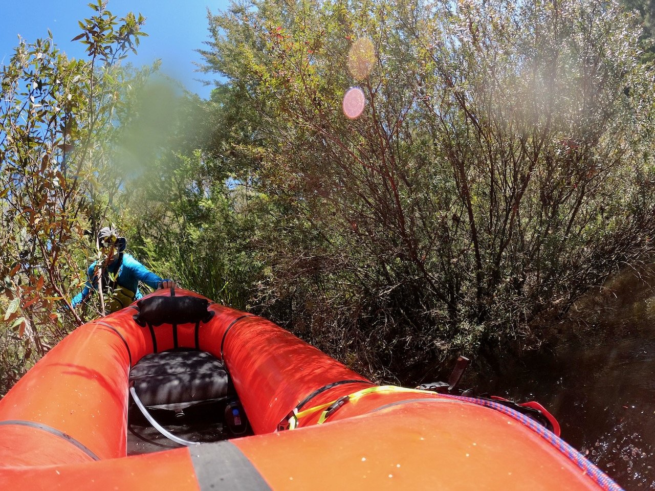
With the tea tree ripping at my exposed legs, I made it through and got back on the river. However, I was only able to paddle another 500m upstream before the tea tree again closed in and choked the river again.
On reaching this next obstacle, I concluded I was on a fools errand. Despite my hopes, this section of river just doesn’t want to be paddled. So defeated, I turned around to paddle the short 1km back to the car. The only thing I hadn’t really realised though was the the first rapid I had bypassed also had tea tree in the middle of it! From downstream, the river and rapid looked clear, and this did cause a little bit of excitement when travelling downstream it became uncertain whether I’d get through!
Having made it through, I was glad that I’d returned to explore this section of the river, although still a little disappointed that it wasn’t runnable.
