Meadstone Falls
Lately, I’ve been trying to get out and do a bit more around the northeast of Tassie. I’ve had Meadstone Falls on my list for a while, and having one day up my sleeve on Sunday the 21st of July 2024, and not being organised enough to go rafting, I decided to finally pull the trigger on this walk. What I didn’t know until after the walk, is that there are signs at the start of Valley Road, just out of Fingal, saying that Meadstone Falls Road is closed, as is the lookout for the falls. And I didn’t see these signs on the way in, as they are facing traffic coming from the Midland Highway, and I made my approach from St Helens 🤷🏼♂️
The Stats
Distance: 8.7km (return)
Time: 3hrs (inc. lunch break)
Location
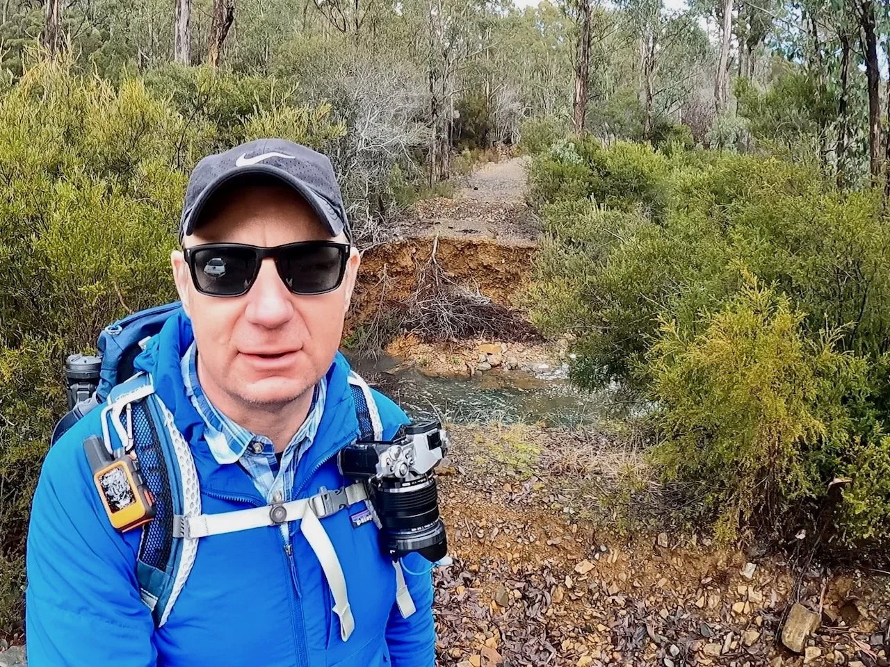
The falls are located about 15km southeast of Fingal. To reach them, you drive about 4km east from Fingal to Valley Road, where you turn right. After about 16km along Valley Road, an unnamed road to the right leads to the falls. 2km down this road you will find a washed out bridge.
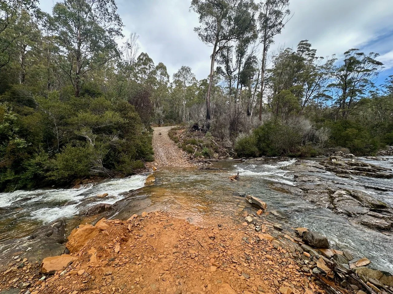
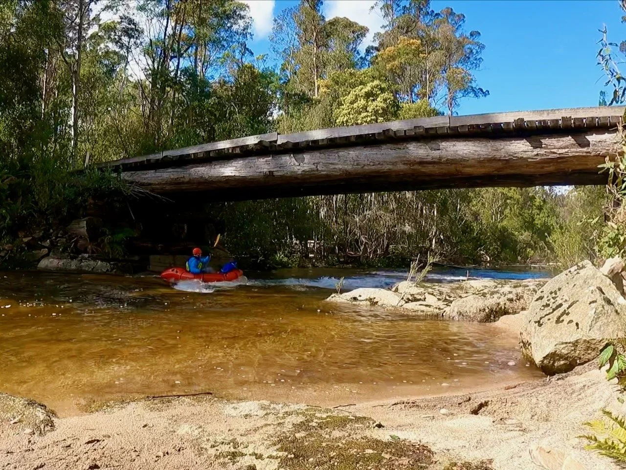
I was aware of this before I set out and had anticipated needing to do a road walk for another 2km before getting to the falls track proper, although the bridge is now completely washed away, where other accounts I had seen indicated is was impassable for vehicles, but could still be walked across. However, not mentioned in those previous accounts is that there is now a new detour road to the right that fords the creek.
Although this looks like it would be passable in my all-wheel-drive, the water flow made me think twice about trying. Having originally planned to walk from this point, I decided to go with that plan rather than take a chance with the car.
The Track
The initial 2km after the creek crossing are on the road, which is very straightforward, with some uphill at the start, before a longer section of downhill road walking to the track proper, which starts at an open grassy area on the left.
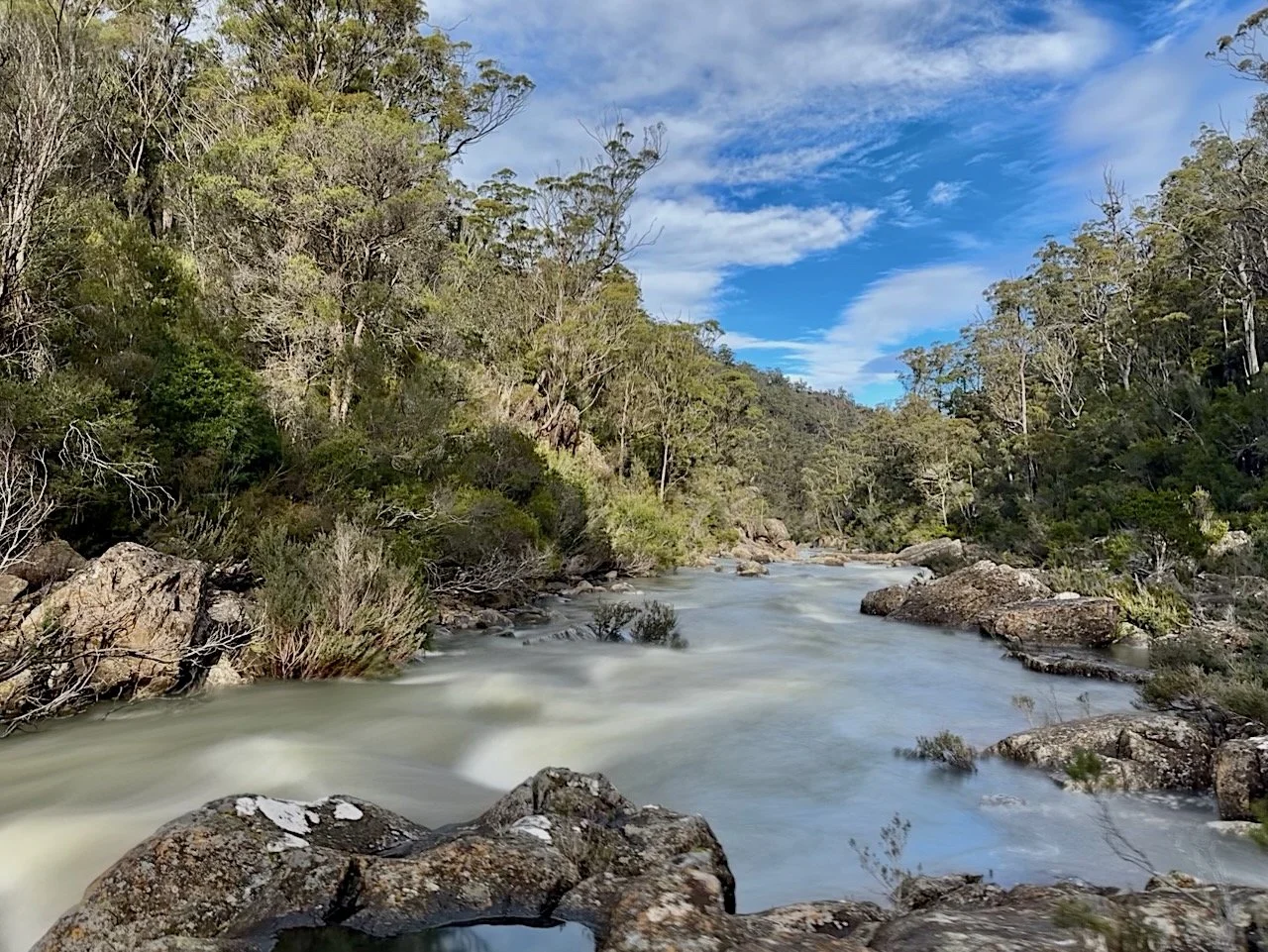
The track proper is less defined, but easy enough to follow with some care, and is signposted as 45 minutes to the falls. About 1km in, a junction is reached where is is possible to go down to the river upstream of the falls. In low water it is apparently possible to walk the river bed to the falls, but this wasn’t possible for me with the river flowing quite well.
After returning to the track, it is about another 500m along to the lookout, which as mentioned at the start of my post is closed due to its poor condition.
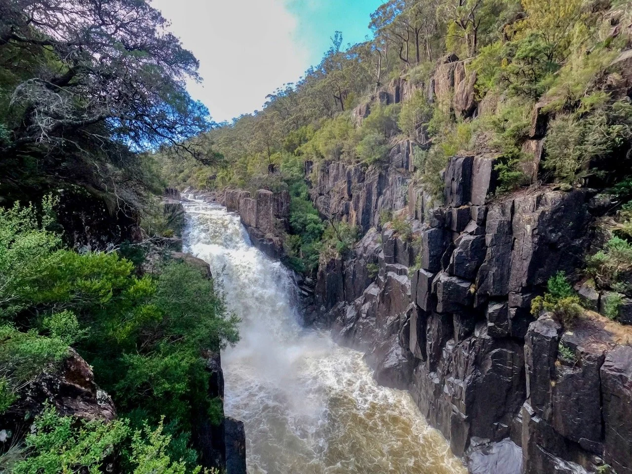
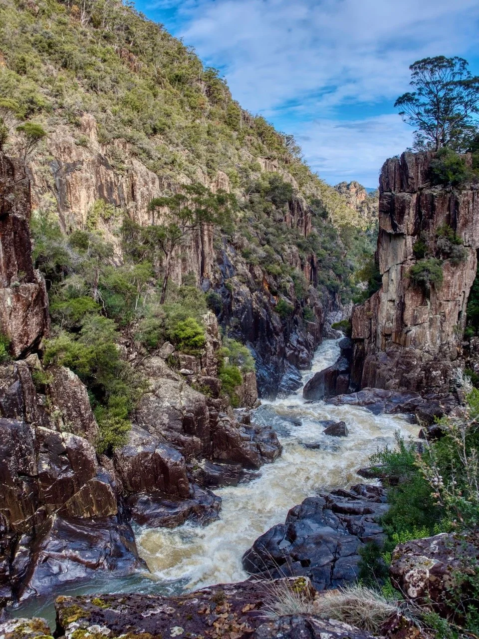
That said, I was able to get some decent views of the falls, and the gorge downstream, without going past the barricade that had been put up on the lookout.
