
Mt Rugby
In February of 2023, Col and I packrafted the Crossing and Davey Rivers to Port Davey. As part of that trip we had planned to visit Mount Rugby, but a series of misadventures and bad weather derailed the end of that trip, meaning we never got there. So with a couple of weeks leave in February this year, we contemplated a return to the area, also inspired by a rewatching of Matt Brain’s video of the Old River and Spiro Range.
The plan was to fly to Melaleuca, get a boat drop off across Bathurst Harbour to the Old River, explore the river and Spiro Range, and then paddle back to Melaleuca, with a side trip to Mt Rugby on the return. However, with contention over available dates, we weren’t able to line the trip up with a boat drop off, which meant we’d have to paddle Bathurst Harbour in both directions. To break up the long paddle from Melaleuca, we decided to visit Mt Rugby on the way. However, foul weather that again came in at the end of this trip meant we never made it to the Old River, and Mt Rugby became the main event.
Getting There
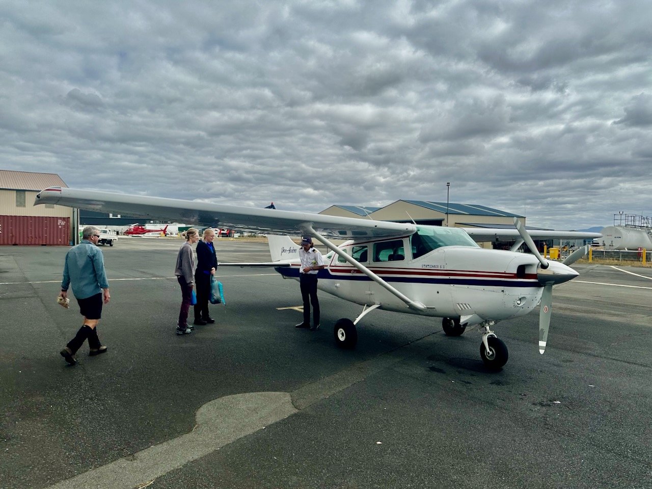
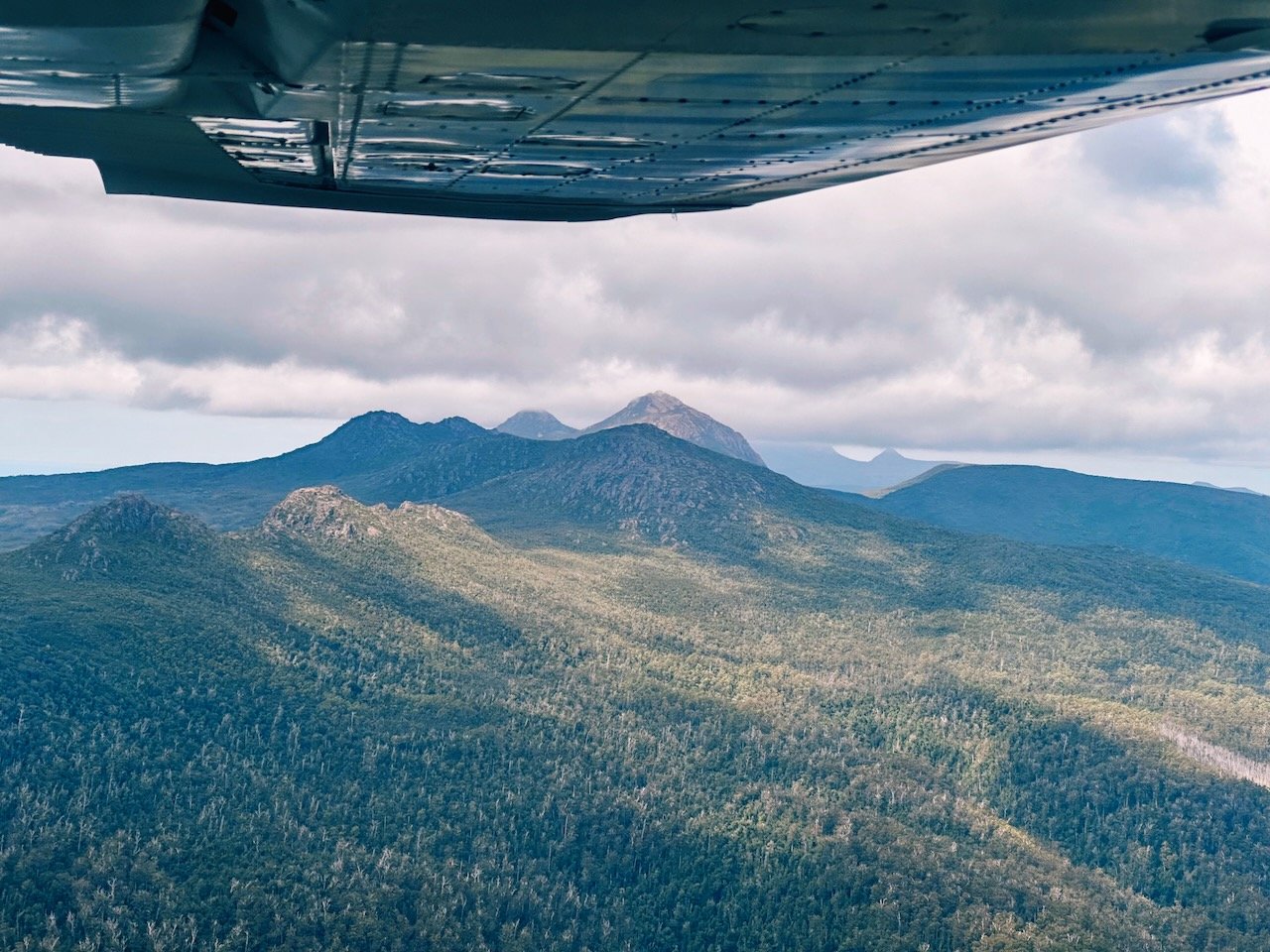
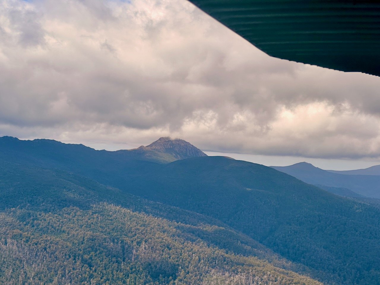
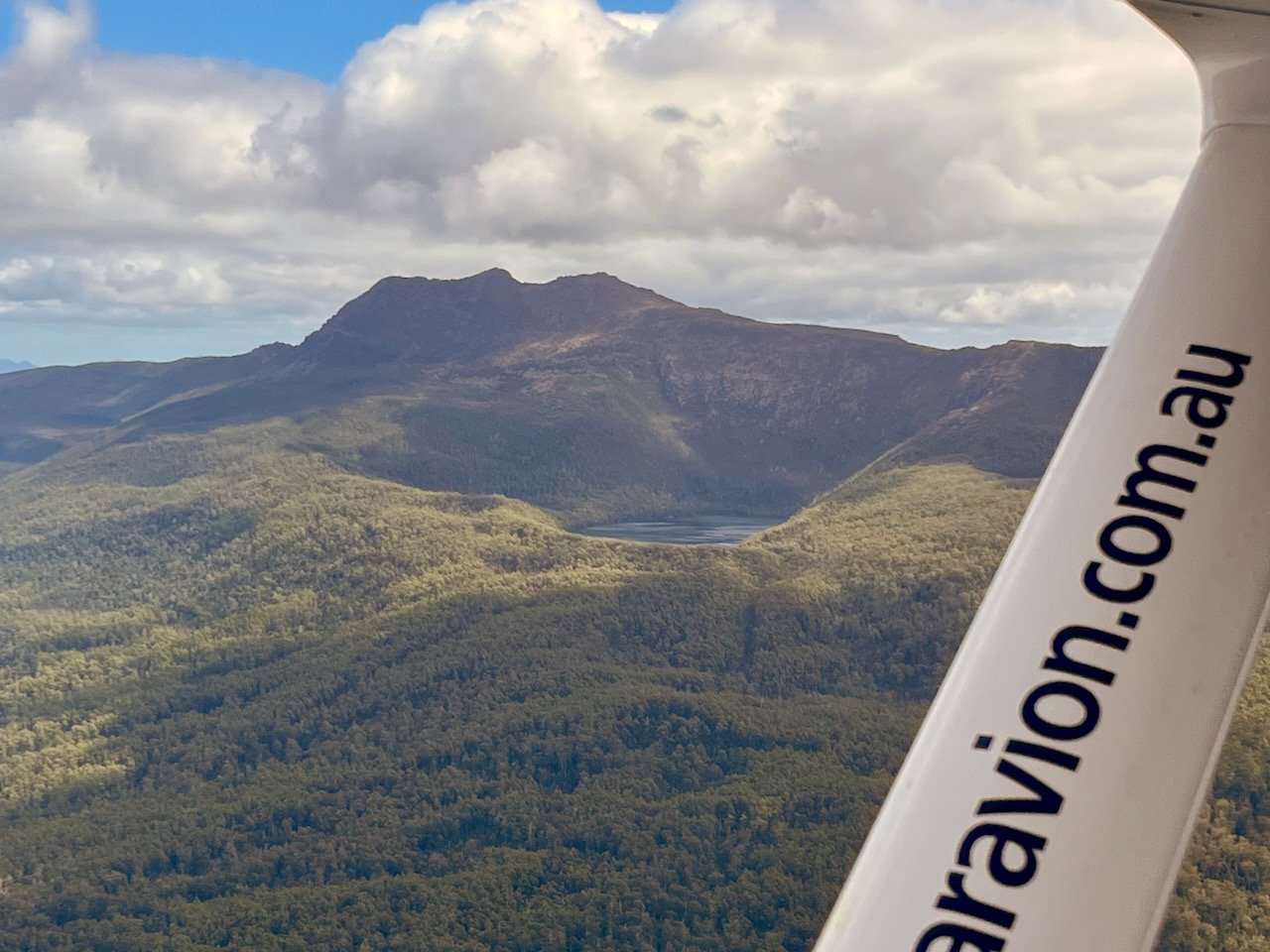
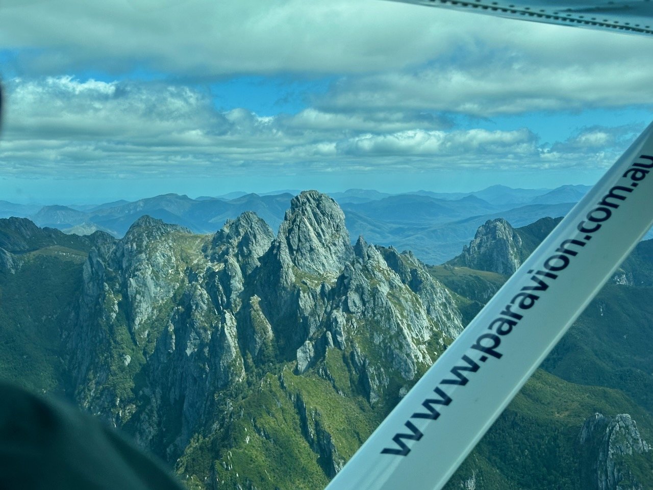
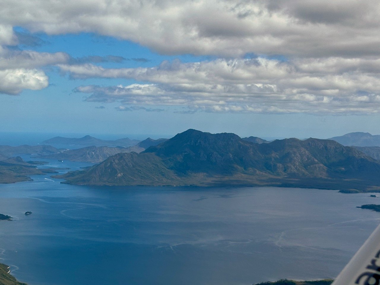
Getting to Melaleuca required a flight with Par Avion from Hobart. With most of their planes being small, this imposed weight limits on our gear, meaning we had to send the packrafts ahead. But even with that organised, on the day we flew, the combined weight of us, two other hikers, and packs, meant we were 13kg overweight. This required my pack to be left behind to come on a later flight the same day, delaying our departure from Melaleuca. However, the flight was fantastic, passing mountains we hadn’t been able to see due to the weather when we flew out two years ago.


On arrival in Melaleuca, we lazed around for a bit while we waited for the afternoon flight bring my pack. However, this also gave us time to explore where we would put in on the rafts.

Our initial thought was to put in at the jetty (A), however there was a decent drop from the pontoon to the water and we wondered how awkward it would be to deploy the rafts with the packs strapped to them. We walked the Needwonnee Walk down Melaleuca Creek to the lagoon. We found a spot with good access to the water (B), but with the tide out, the drop from the bank was still quite high. So, it was then time to hike up the Port Davey Track to see if there was a better access on Melaleuca Creek. We found a good spot (C) just before the bridge, but given it was a bit of a walk from the airstrip, we ultimately settled on a spot behind the huts on the lagoon (D).
This ended up being a big mistake! With the tide out, there wasn’t enough water to float the boats in the lagoon, and getting out saw us sink to our knees in the muddy bottom. But after we launched, we were committed, so we literally crawled across the mud to the inlet, where there was enough water to paddle, covered in the foul smelling mud of the lagoon!
Having it to do over again, at low tide we’d have launched from Melaleuca Creek (C), but our launch point turned out to be totally serviceable with a higher tide level, and we ended up returning here to disembark the rafts on our return.
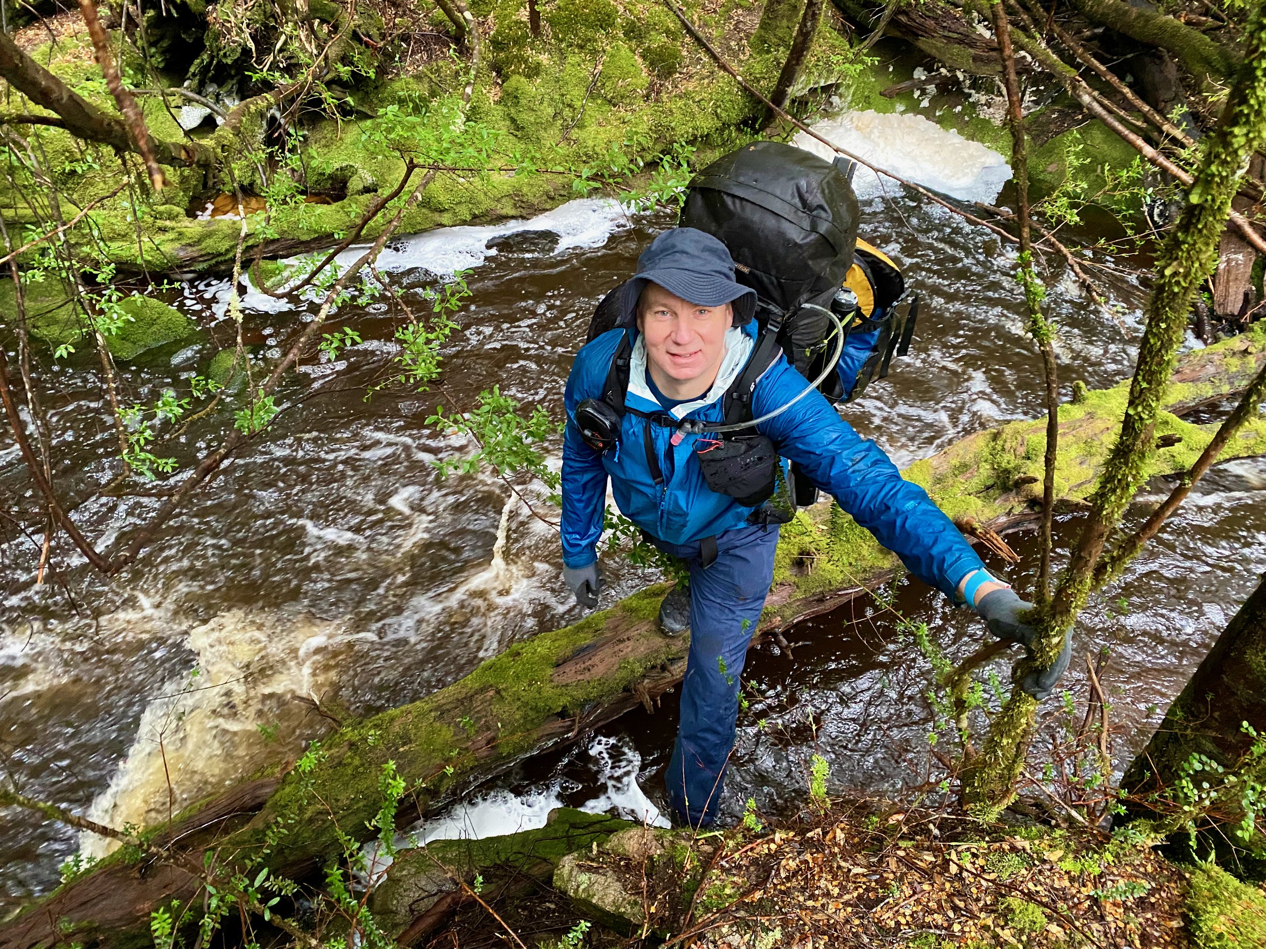
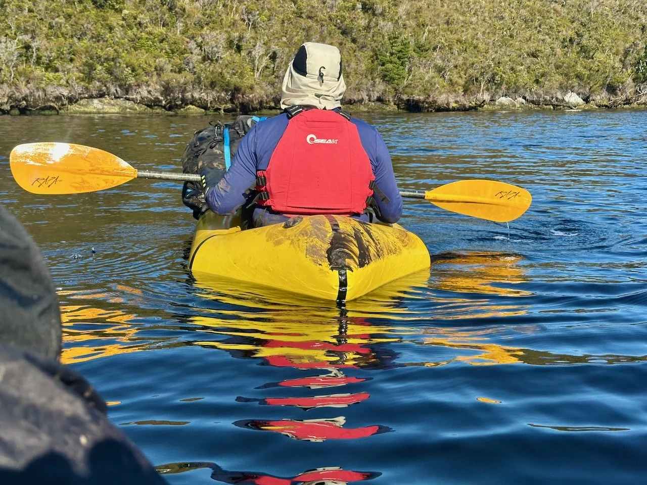
Once on the water proper, it was time to set out with the hope of making camp below Mt Rugby that night — a 10.6km paddle.
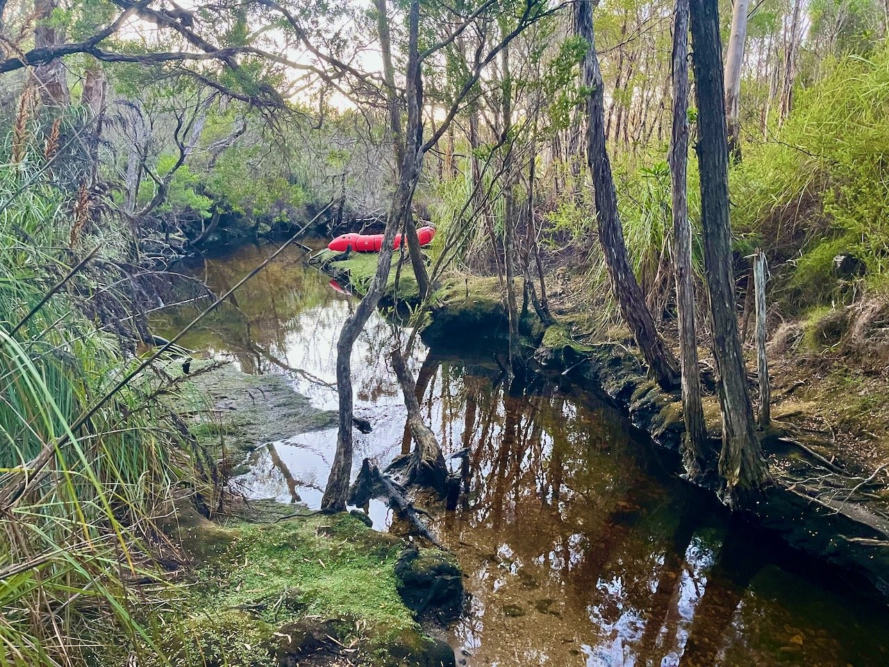
The paddle took us about 3½ hours. As we had set off late, being delayed waiting for my pack, we didn’t arrive in the little cove at the start of the limb until 7:20pm. I was cold, and my teeth were chattering, so I was keen to find a campsite. It was clear the beach would be submerged when the tide came in, so I started up the pad that leads to the summit. The initial hillside was covered in knee high scrub and there wasn’t any great looking places to pitch a tent. Being cold, I nearly just went with picking a spot on top of the scrub, but decided to check out the little creek that leads into the bay.
The creek here is clearly tidal and I was conscious that high tide would come in the middle of the night. I initially found a grassy shelf that looked like it would be serviceable, but it was damp and questionable as to whether it would be above a high tide. We very nearly settled for this, but I pressed on up the creek a little bit further, knowing we’d want to access fresh water from further upstream, and came across a great little clearing.
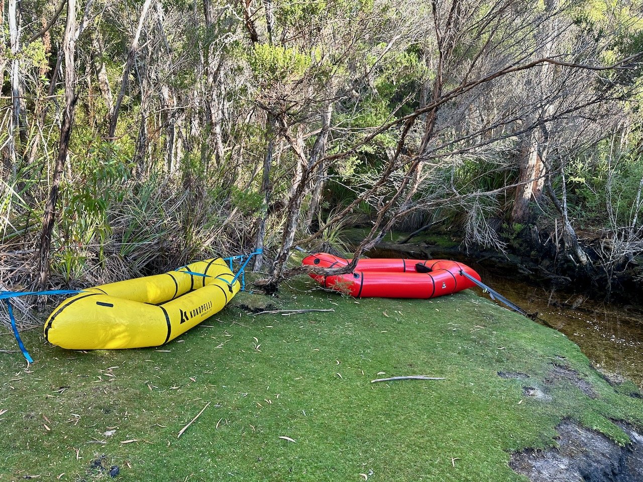
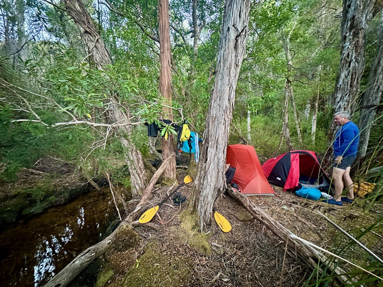
It was an almost perfect campsite, with the only issue being a tree that had snapped off its base and was resting against another. It looked secure enough, and we weren’t expecting any wind that night, so we set up camp, with me desperately needing to get into something warmer.
The Climb
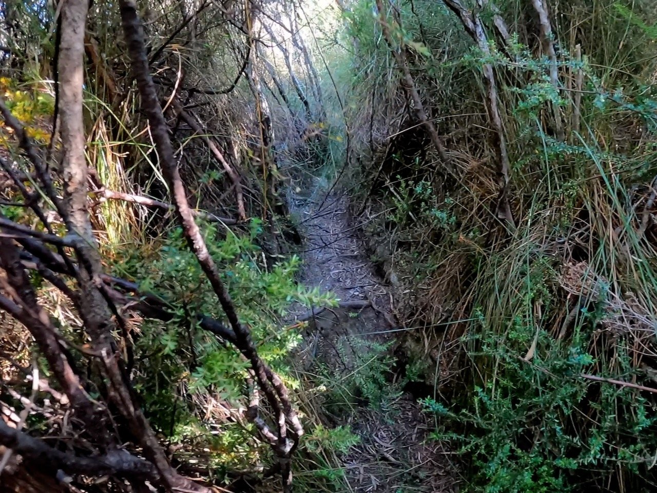
ListMap doesn’t show a track up Mt Rugby, but there was very obviously a maintained track at some point. There is a clear pad up the mountain, at various points there has been track work to prevent erosion and creates steps, and the occasional post with orange triangular markers can also be found. That said, it was difficult to find information as to the route before we set off.
I had originally guessed a route starting at Platypus Point, but the track starts from the little cove where we had pulled in (the unnamed bay half way between Starvation Bay and Platypus Point). There are two reasonably obvious pads going up from the beach that join up a few hundred metres in, with the track from the beach to the summit of the ridge being straightforward and easy to follow.
It took as about 1½ hours to reach the top of the ridge at the saddle below the main summit. Most of the walking was in the open, but there were a couple of patches of scrub, however the pad was obvious throughout.

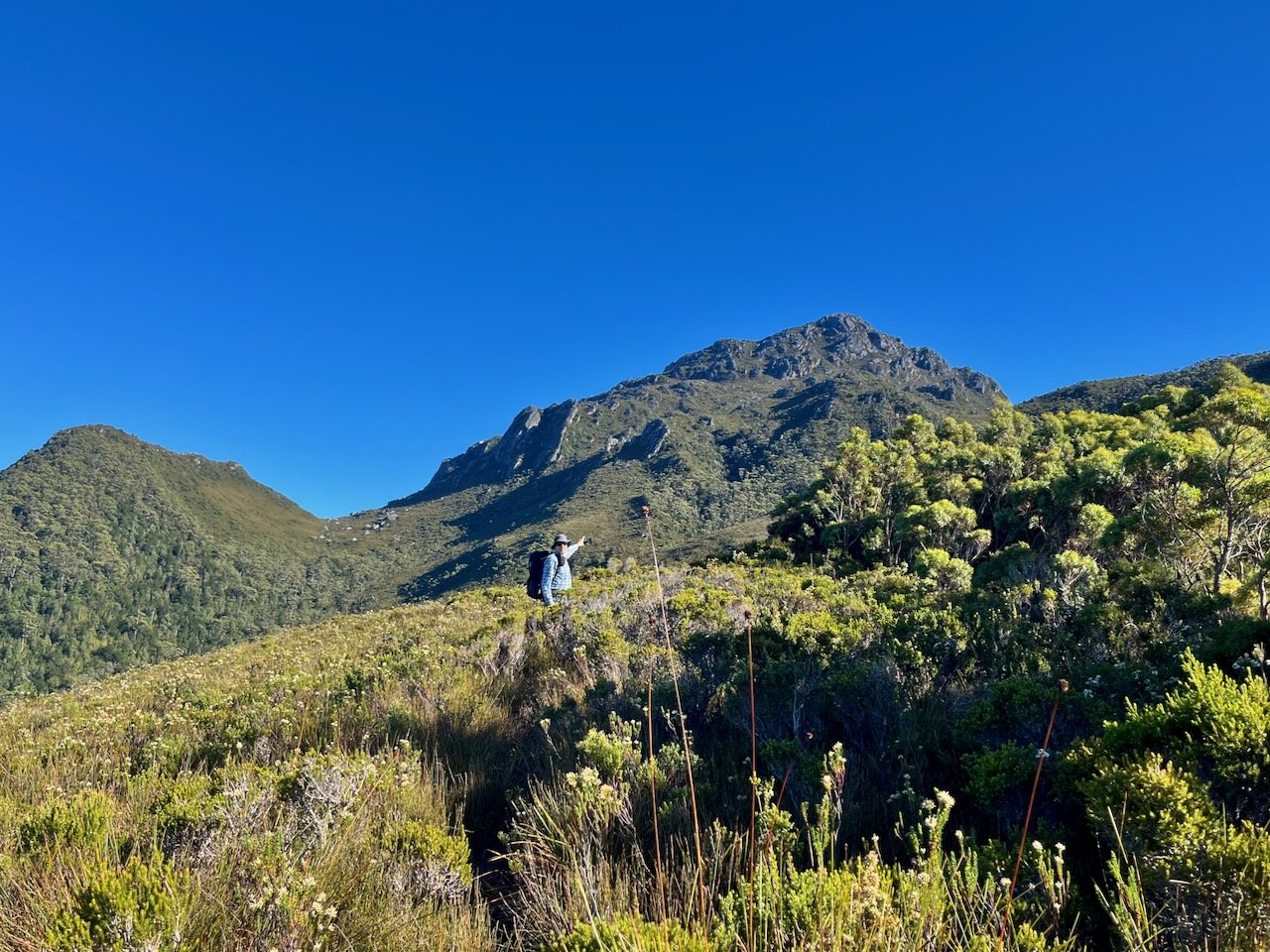
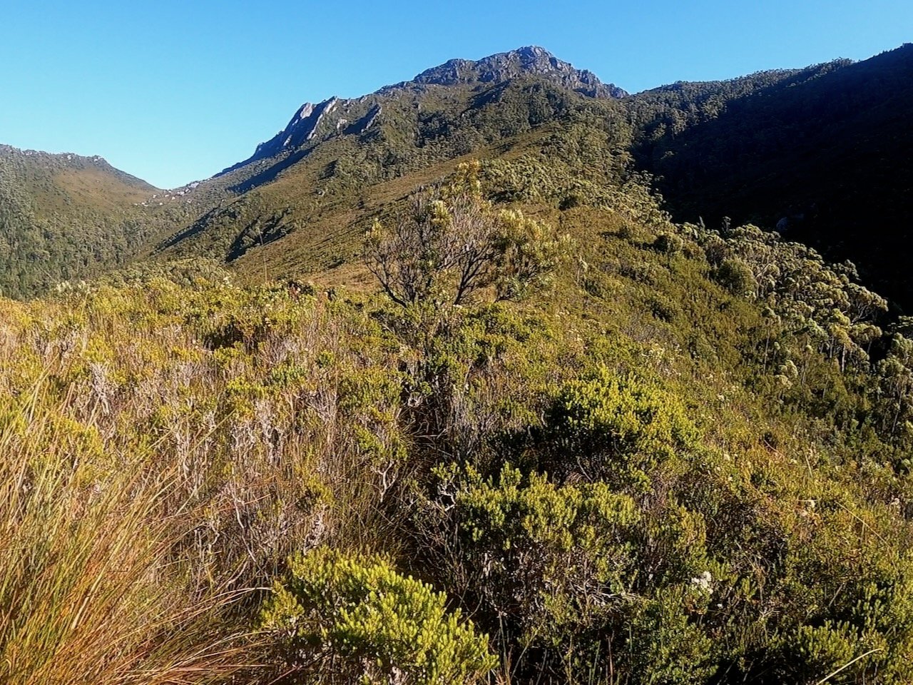
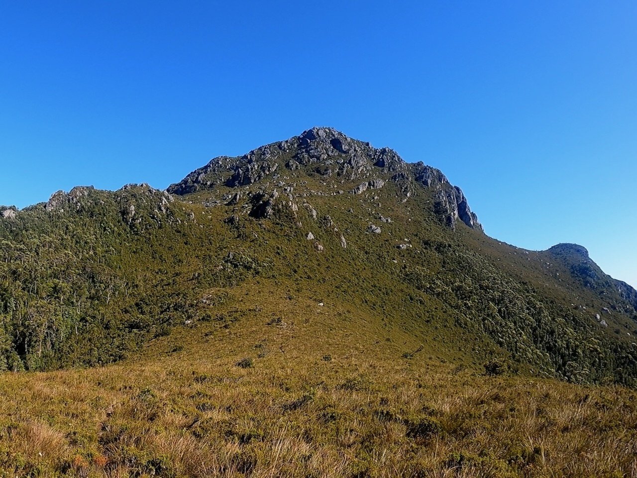
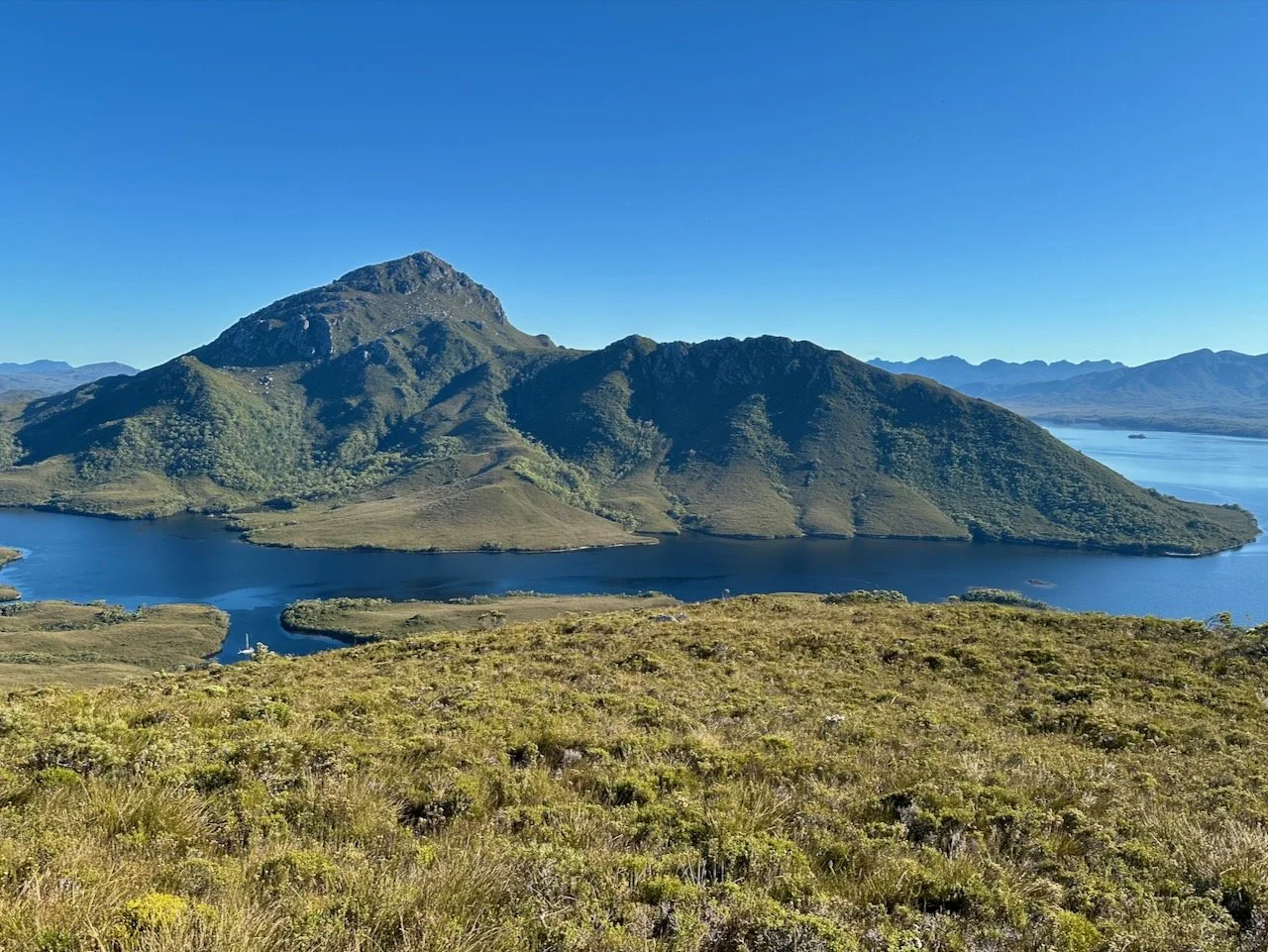
From the saddle, the track first started to get steeper and towards the top became a lot more onerous. Keeping on track was harder, with there seemingly being pads leading in different directions. There were also several sections that required some scrambling and climbing up. However, the view from the top made it all worthwhile.
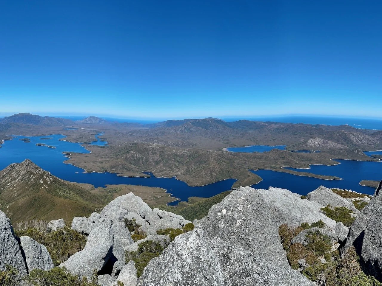
Looking across the Bathurst Narrows from the summit of Mt Rugby
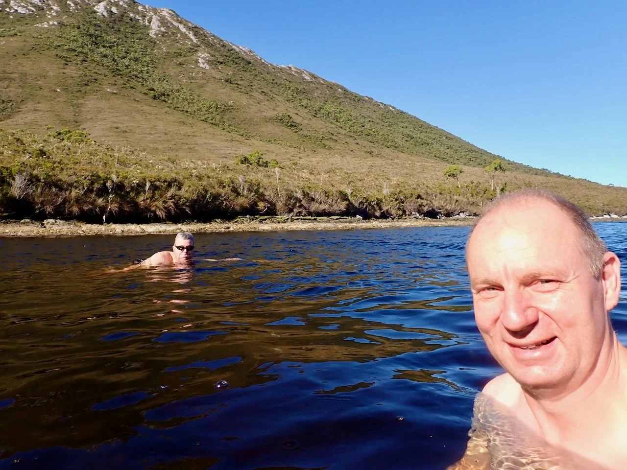
All up, it took us just over 3 hours (not counting breaks) to make it to the summit. It was a thirsty walk, and I drank two litres of water on the return trip, with there being no water available at any point along the climb. Getting back to the start we were happy the weather was conducive to a swim.
After Rugby
Our plan after completing Rugby had been to paddle across Bathurst Harbour that afternoon to the Old River. We initially though about postponing this to the next morning, after having gotten into camp cold the day before, but with the weather forecast being for high winds towards the end of the week, we didn’t want to be stranded on the other side of the harbour. In the end, we abandoned our plans for the Old and the Spiro Range.
We stayed a second night in our camp below Mt Rugby, but with the winds already starting to increase, it was a nervous evening with the broken tree at the campsite, and a couple of others on steep slopes that had undermined roots.
Thankfully, we survived the night without any downed trees, and set off the next morning to Claytons Corner in the rafts, with a brief visit to one of the Celery Top Islands on the way. We stayed two nights at Claytons Corner, climbing Mt Beatie while we were there, before returning to Melaleuca and flying home. As notes above, our exit from the lagoon was without issue this time due to a higher tide that let us navigate to the beach without any issues.

