
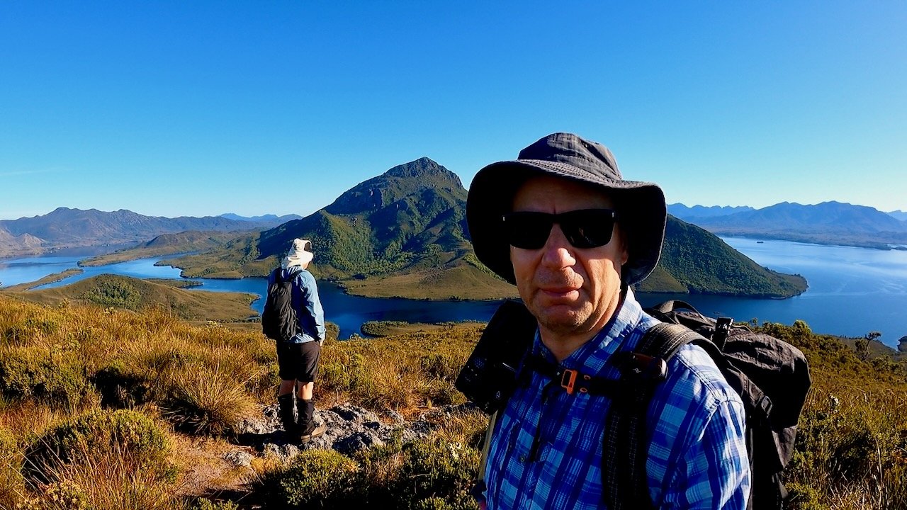
Mt Beattie
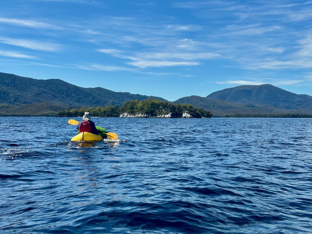
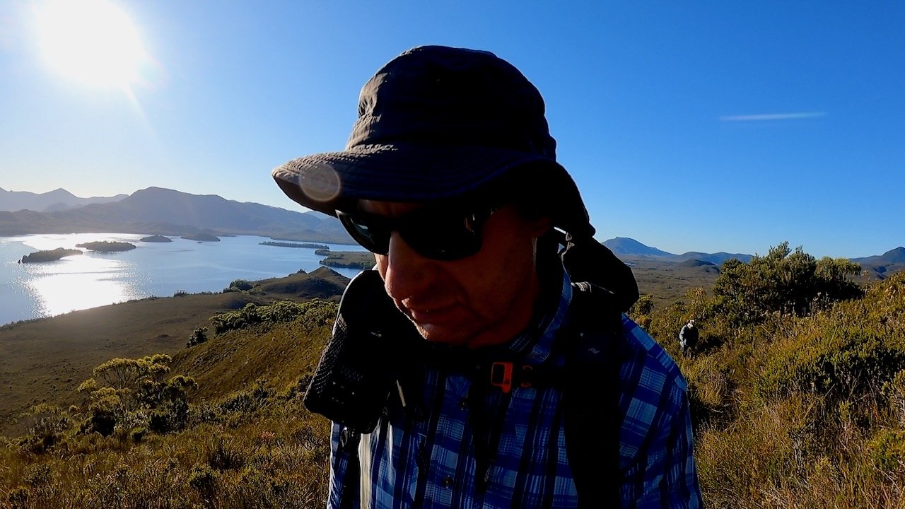
In February 2025, while on our Mt Rugby trip, Col and I spent two nights at Claytons Corner on our way back to Melaleuca, having abandoned plans to do the Old River and Sprio range due to adverse weather. While we were there, we took the opportunity to climb Mt Beattie.
The Stats
Distance: 4.2km (return)
Time: 2½ hrs (including breaks)
Elevation Gain: 270m
Location
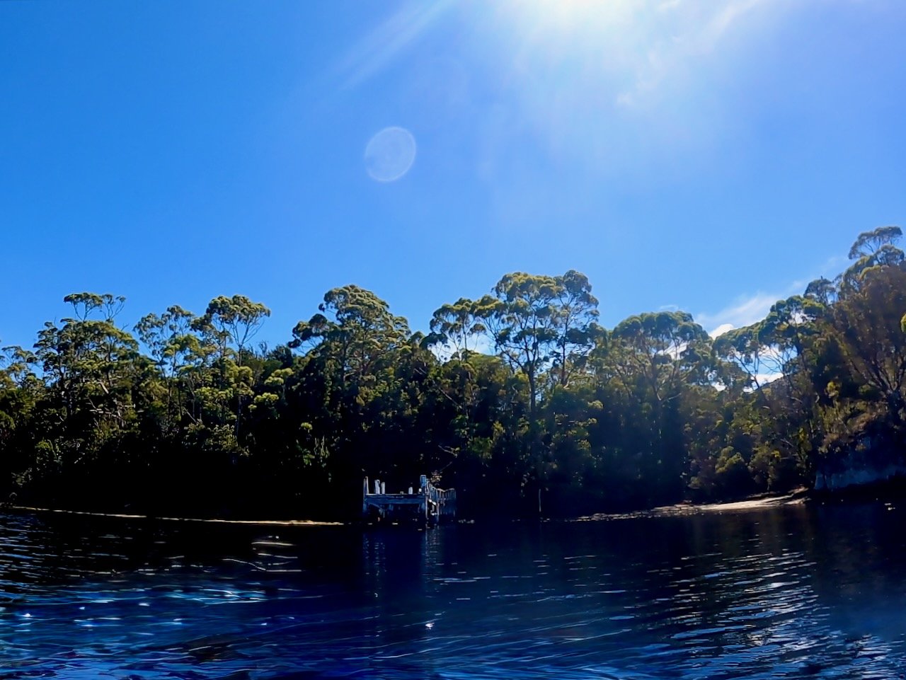
The Mt Beattie Tracks starts from Claytons Corner on the Melaleuca Inlet. To get there requires boat access, and Col and I paddled there in our packrafts from Melaleuca.
The Track
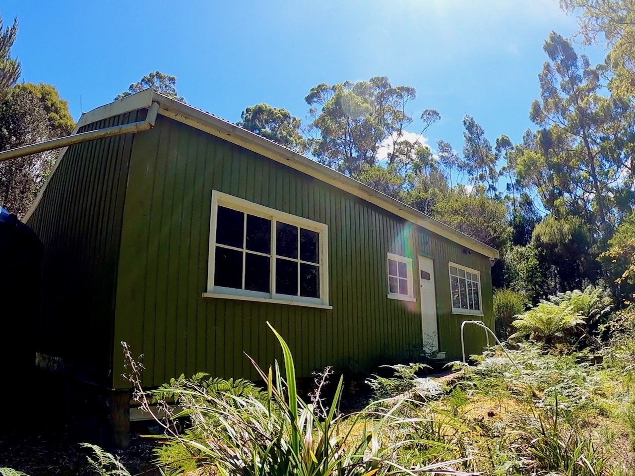
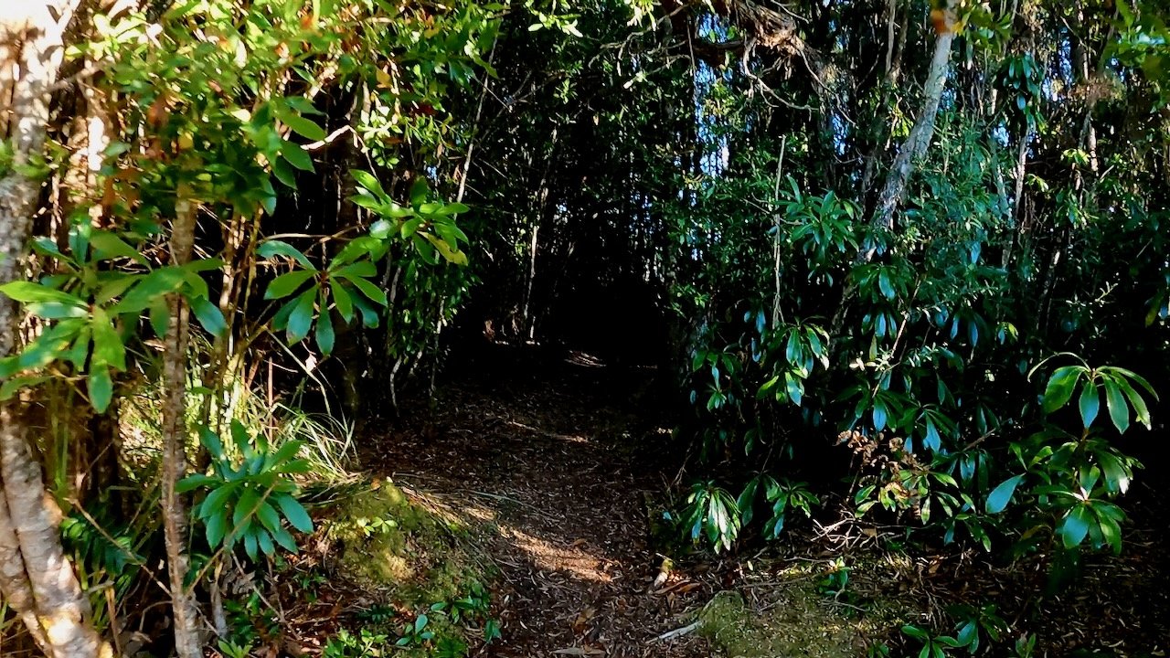
The track starts from immediately behind the hut at Claytons Corner and is very well defined and maintained.
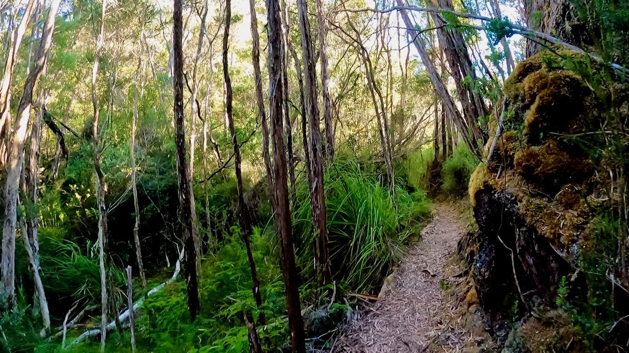
The initial track undulates its way through forest until you cross Beattie Creek, which is only a couple of hundred metres from the start. From there the track is consistently uphill, although thankfully given the warm day on which we did it, still within the forest cover for about two thirds of the way up.
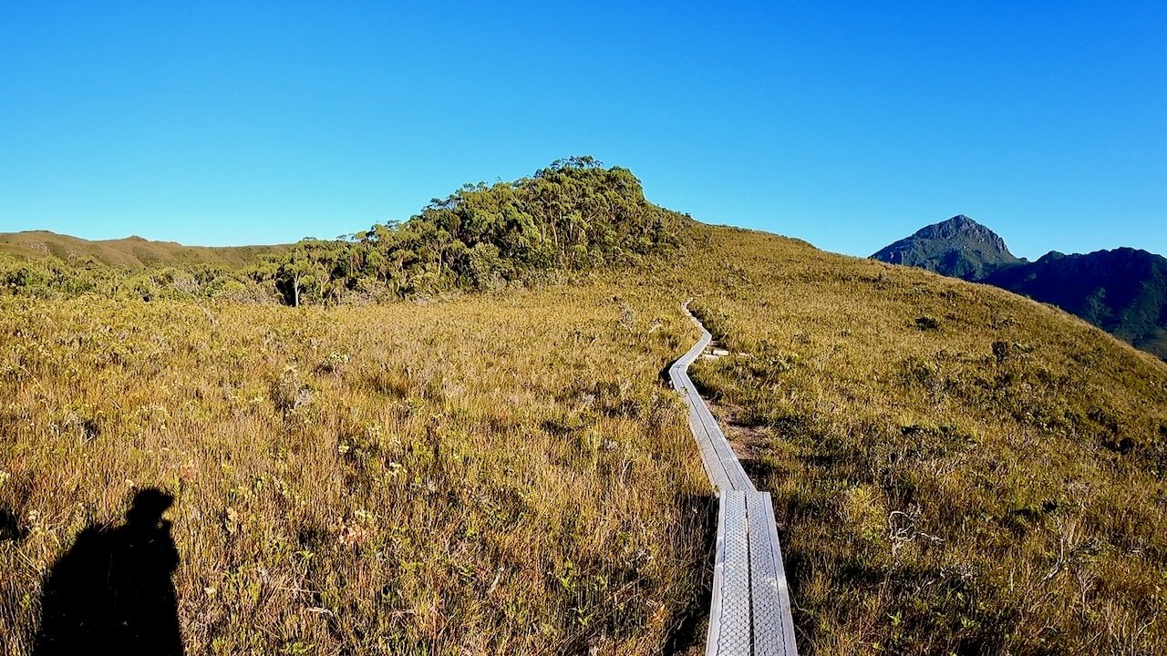
Once clear of the forest, you continue along the ridge line of open button grass to the summit. This is a very easy walk and it only took us 45 minutes from the start to reach the summit.
Video
The video of our hike up Mt Beattie is contained within my Mt Rugby video, starting at 8:23.