
Rats Castle
Col and I had contemplated climbing Rats Castle back in September of 2021, but bailed on the idea due to rain and snow. Since then, it had fallen off our list, but on the 22nd of March 2025 it came back into consideration. Originally, Col and I had been thinking about doing Nevada Peak that weekend, but forecast rain made us reconsider. Col was also swamped with work, so I was looking for something where the weather was okay and that was reasonable to do solo. Rats Castle seemed to fit that bill, so on the Saturday morning I made my way up to Great Lake from Hobart.
The Stats
Distance: 11km (return)
Time: 4hrs (excluding my 20 minute lunch break on the summit)
Elevation gain: 357m (net) (495m total of the course of the hike)
Location
The hike starts on the edge of Great Lake at Brandum.
The Route
The route to the summit of Rats Castle is untracked. While there are a few cairns along the way, and the occasional bit of taps, these are far from sufficient to navigate your way to the summit. I ended up using the AllTrails app for the first time to help with navigation, which ended up being really useful. With much of the route being over scree, there isn’t an obvious path in many places.
I parked just inside the south entrance to Middle Brandum Court, where it turns off Highland Lakes Road. From there, I made my way back down to Highland Lakes Road and south along the western edge of the road. The AllTrails app showed me the point to exit down through the scrub, and there was also a piece of pink tape in the scrub at this point.

There was a faint pad through the scrub near, leading to a button grass plain. Here the pad was harder to distinguish, with various animal tracks all criss-crossing the area. The app was also a good navigation aid here.

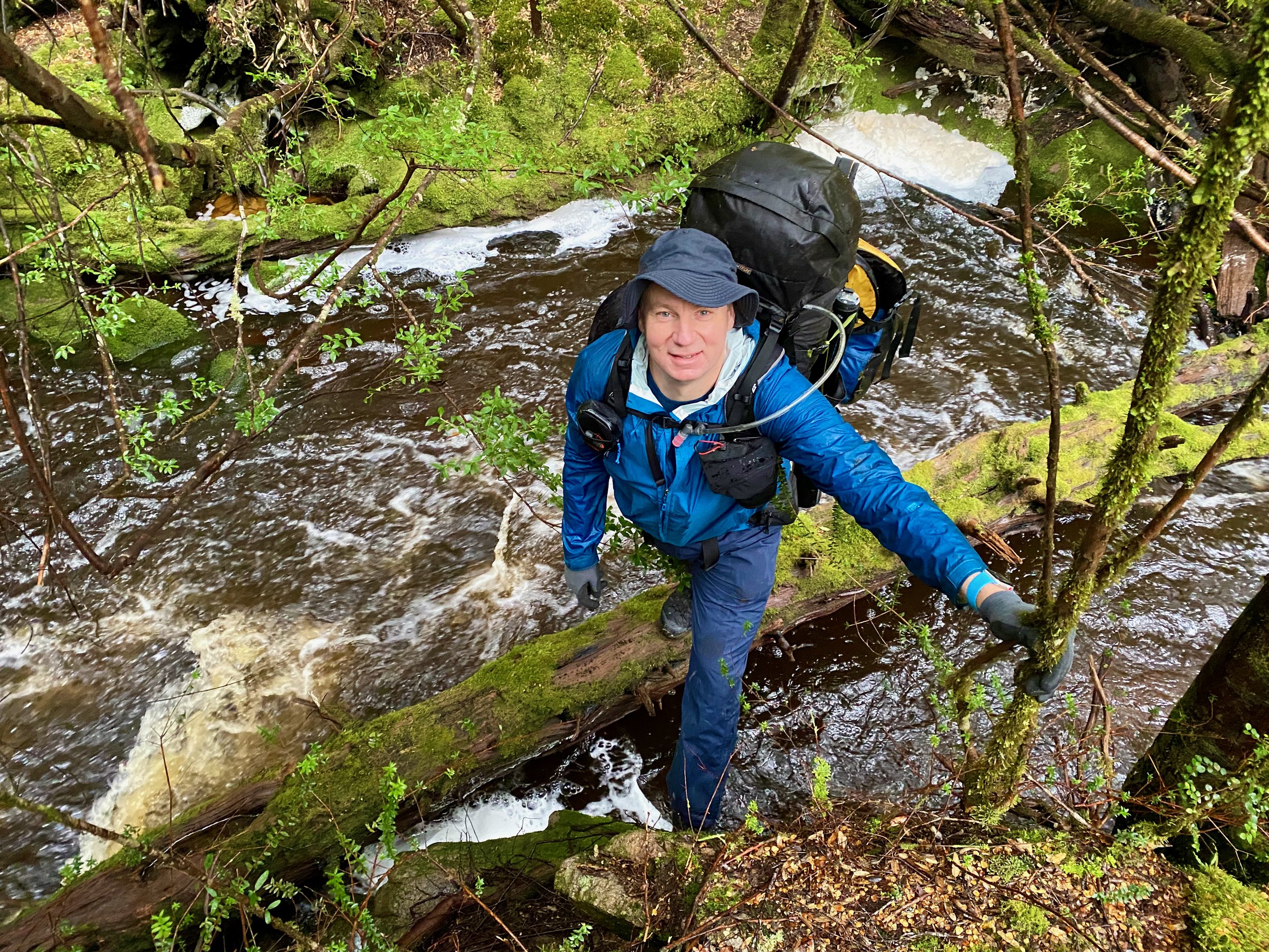
After cross the plain it was back into the scrub. This was quite thick, and while the pad was obvious in some places, it was completely overgrown with others, requiring an effort to push through the tea tree. However, the band of scrub isn’t very thick, and it isn’t long until you pop out onto the start of the scree.

While I saw the occasional cairn, they were few and far between. Having the app to navigate was really beneficial here. Effectively though, each area of scree requires traversing it right up the middle to the next.


There is the occasional vegetated area to cross in between the fields of scree, the biggest at the end of the scree fields before the climb.

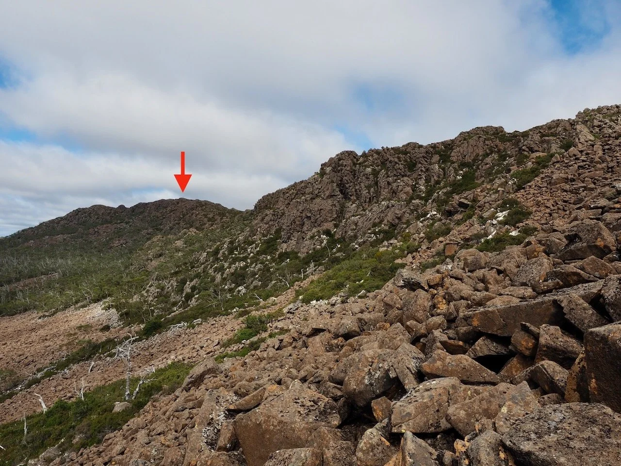
The climb up to the ridge is over even more scree. Again having the app to navigate helps. At this point, you climb to the ridge to the north of a high point that is north of the summit.


The climb takes you to the other (western) side of the ridge. From here, the terrain is entirely different, and after some initial fumbling, I found a pad with a cairned route all the way to the summit.


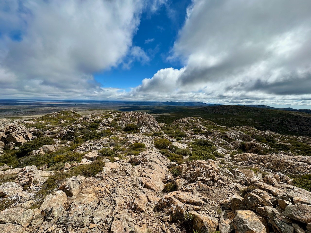
The summit offers some great views of Great Lake and the surrounding peaks, including the central plateau to the west, which I hadn’t really seen before.
While the AllTrails activity list shows some people completing the hike in just over three hours, it took me four hours despite making a concerted effort and not really taking any breaks. On top of the four hours of walking, I added a 20 minute lunch break on the summit.
All up, this is a worthwhile hike, but one that is hard on the knees given the amount of scree that has to be traversed.
